


246 km
Avstand
4659m
Elev. Vinst
2-5
Dager
80%
Ubelagt
8/10
Vanskelighetsgrad
40-50m
Idealtyper
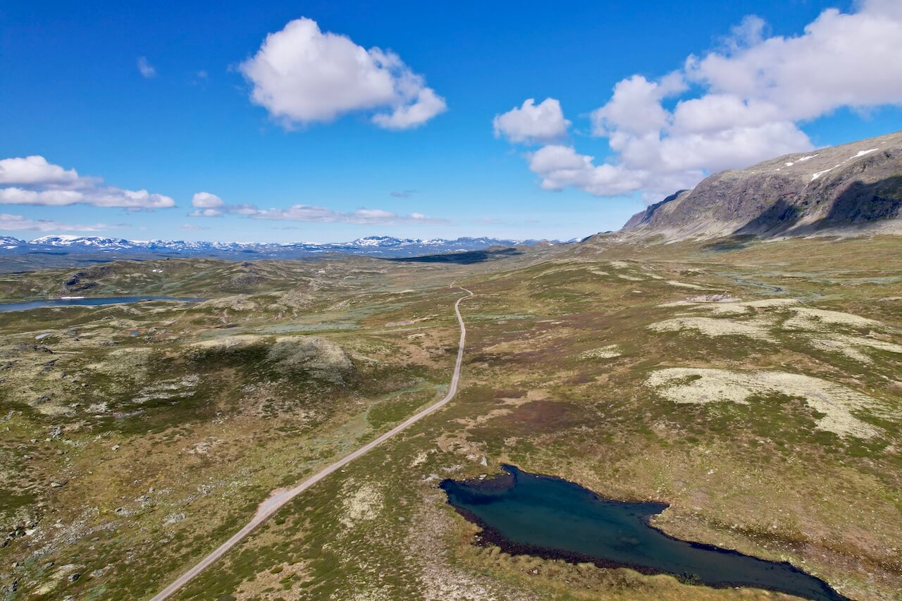
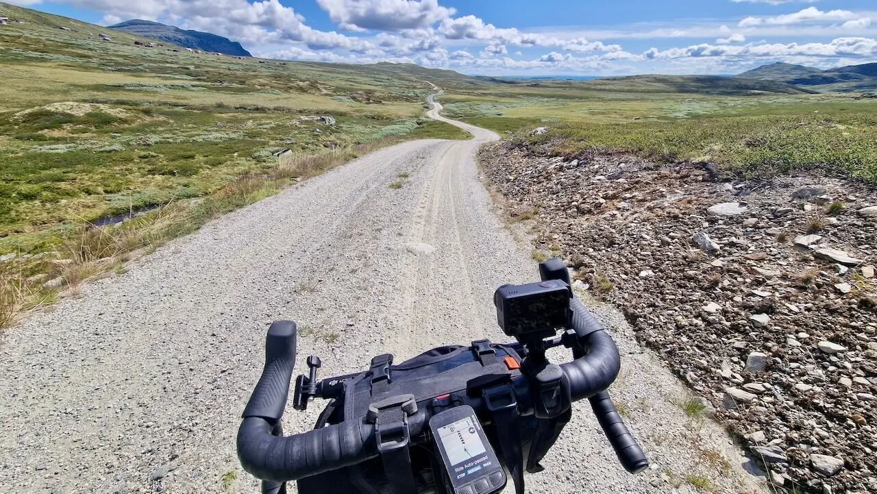
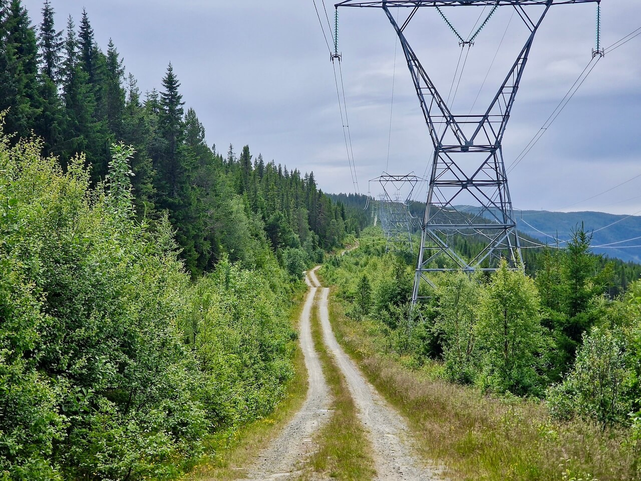
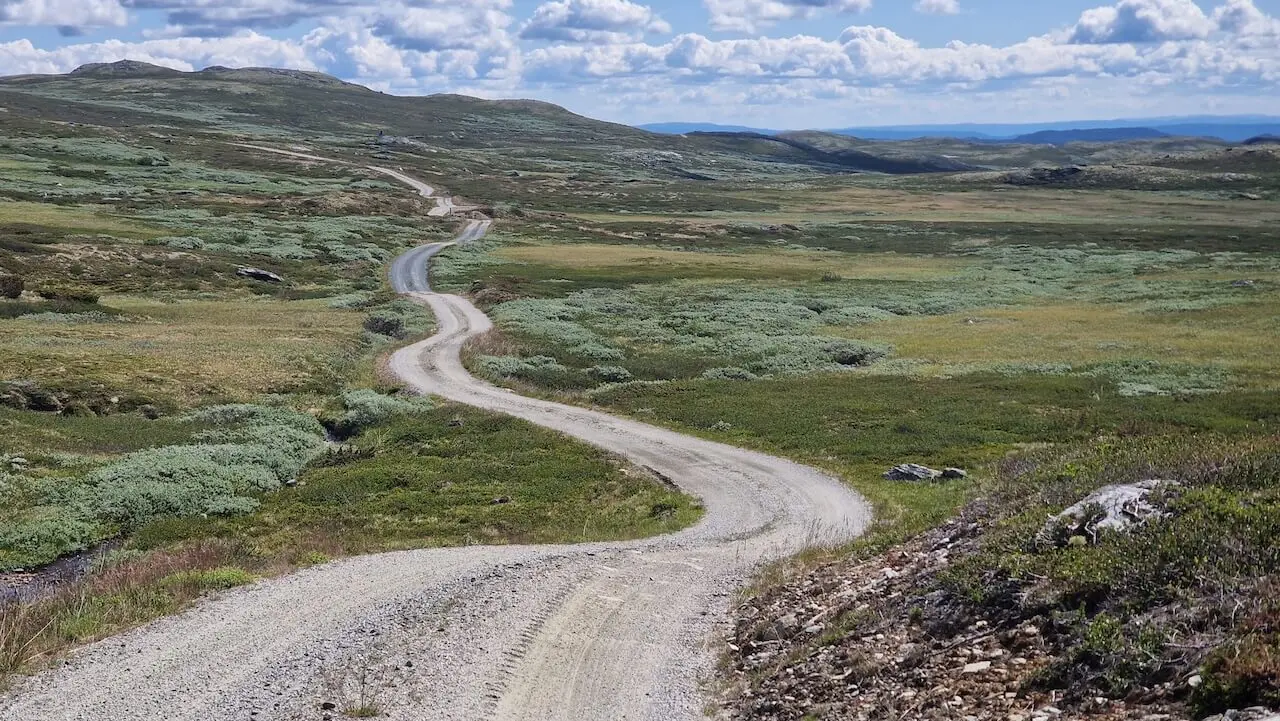
Høyspenningsruten
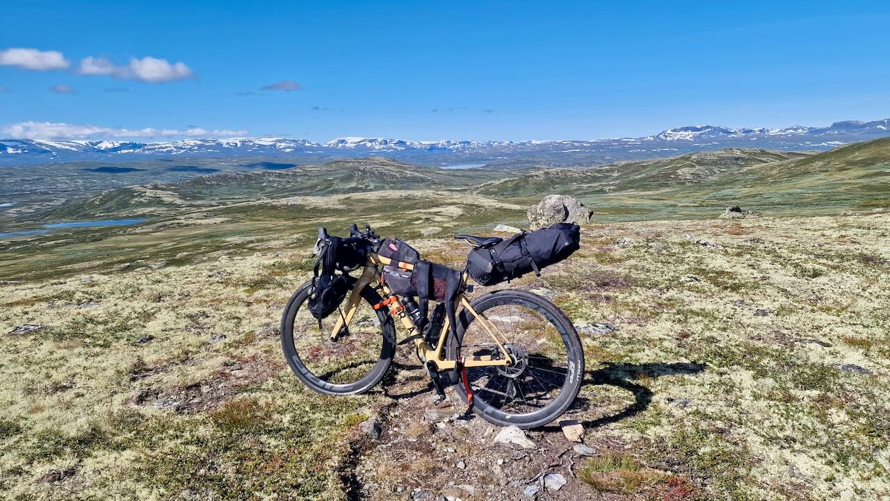
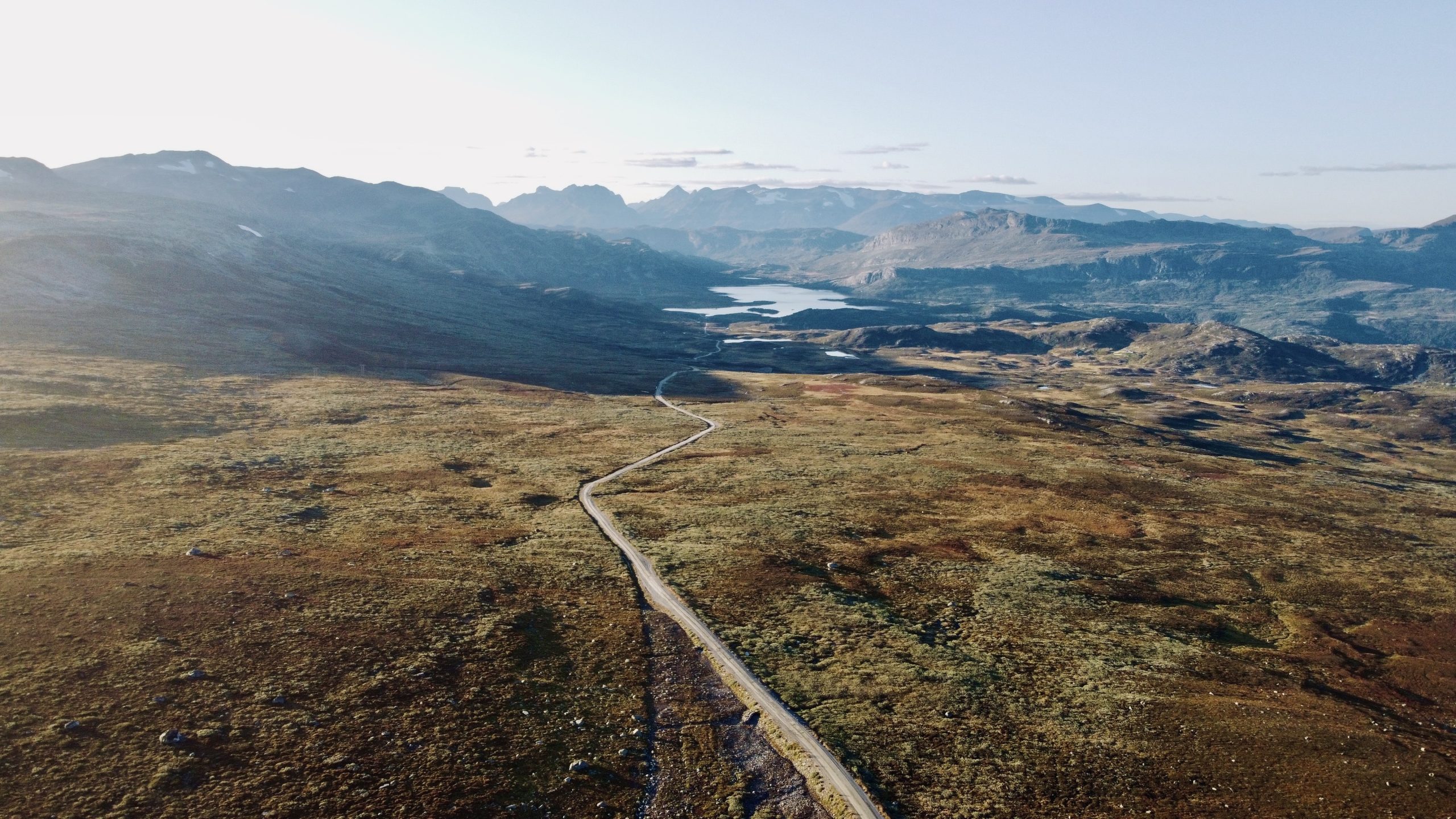
De fleste grusruter følger gamle postveier, kjerreveier eller skogsstier. Denne gjør ikke det. Høyfjellsruten tar en annen tilnærming, og klatrer inn i de høye fjellene langs robuste serviceveier bygget ikke for folk, men for strøm.
Over tre krevende dager og 250 km snirkler ruten seg over platåer, forbi kraftstasjoner og gjennom avsidesliggende terreng formet av Norges energihistorie. Det er en tur som presser beina dine og belønner innsatsen din med stillhet, storslagenhet og ensomhet.
Disse veiene ble anlagt for vedlikeholdspersonell, ikke for turister, noe som gjør dem til en skjult perle for de som lengter etter ekte terrengkjøring. Og hvis du ønsker å koble sammen Rallarvegen og Mjølkevegen med en dristig rute utenfor allfarvei, er dette veien du skal ta.
Det handler ikke om komfort. Det handler om tilknytning, til landskap, historie og grensene for din egen utholdenhet.
Når?
Dette er en hovedsakelig grusvei med høyder som når over 1200 meter. En helt snøfri rute vil ikke være tilgjengelig før i midten til slutten av juni.
Komme dit
Du kan starte og avslutte denne rundreisen i Nesbyen, Gol eller Ål, alle har en togstasjon som Bergensbanen stopper ved. Bestill med Entur-appen.
Farer
– Det er en 3,5 km Sykkel-til-fots-seksjon på 1200m og krever at du bærer eller dytter sykkelen mesteparten av veien. Det kan være vått og myrlendt enkelte steder, og frarådes i dårlig vær.
En fullstendig oversikt over alle farer finner du på vår fullstendige historiefortellingsside, sammen med andre rutealternativer og kart-POI-er.
Sykkelutleie
A god oversikt av alle tilgjengelige alternativer i nærområdet Hallingdal.
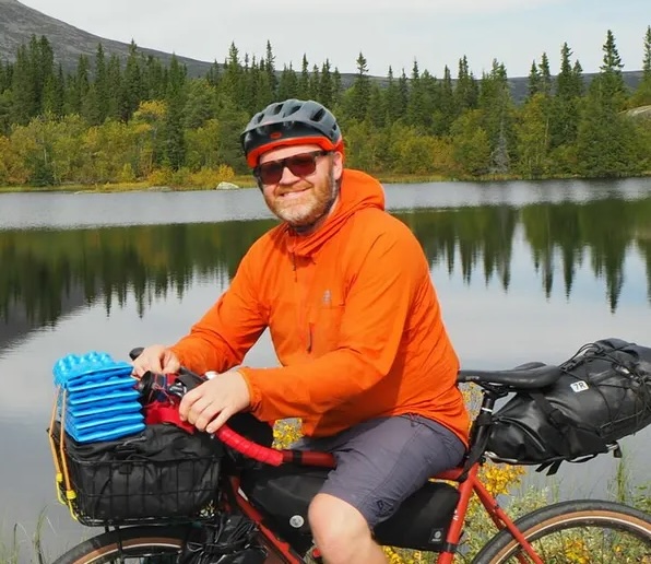
“Jeg tror dette er en av de beste bikepacking-rutene i Norge, men som lokal rytter kan jeg være forutinntatt!”
Lokale anbefalinger
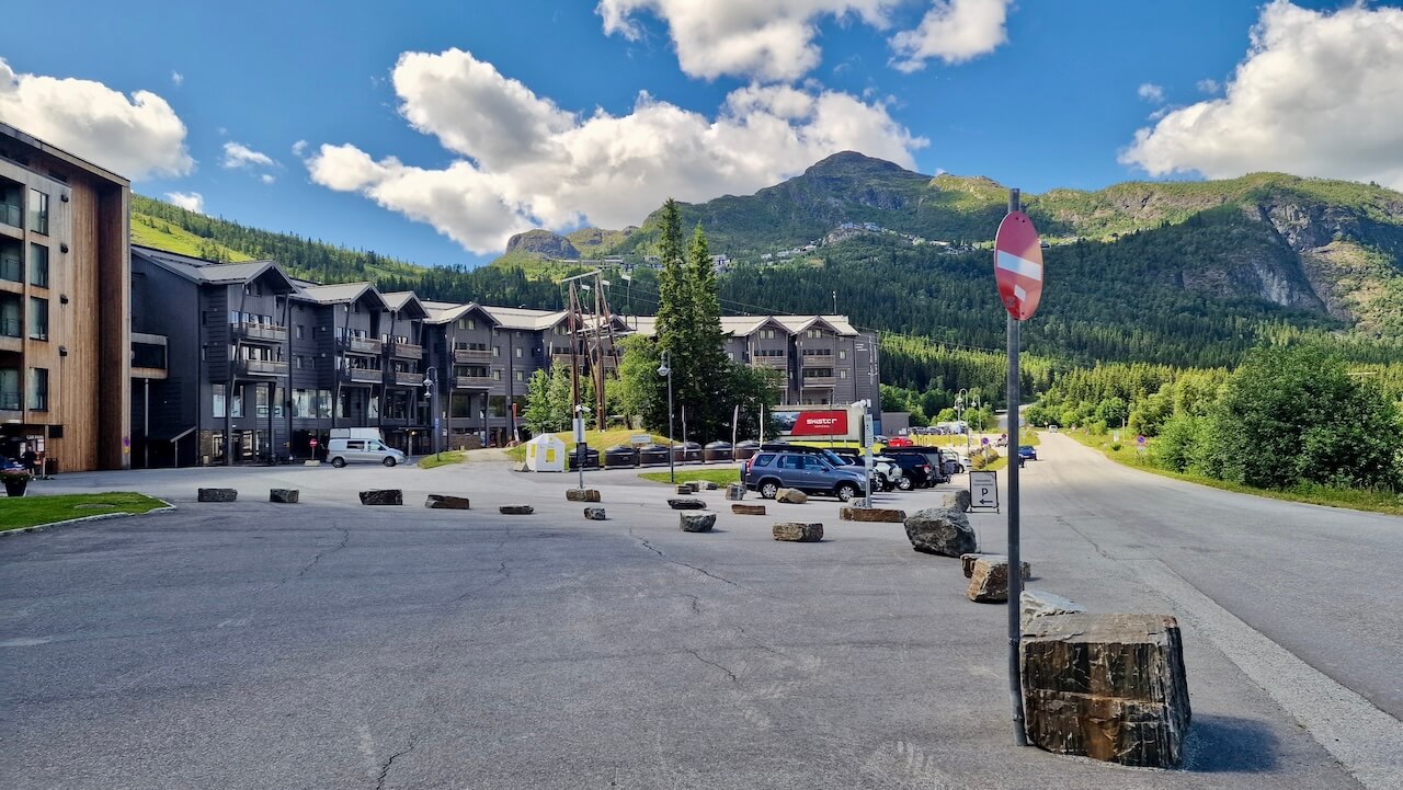
Hemsedal Skianlegg
For bikepackeren som passerer gjennom, Hemsedal er mer enn bare et prikk på kartet; det er en velkommen pause i de høye fjellene. Denne alpelandsbyen tilbyr alt en sliten syklist måtte trenge: en godt utstyrt dagligvarebutikk, god kaffe og en sjanse til å hvile beina uten å miste følelsen av eventyr. Hvis du overnatter, ta skiheisen og sykle en av de spesialbygde terrengsykkelstiene eller strekk ut beina langs stille grusveier som fører inn i sidedaler.
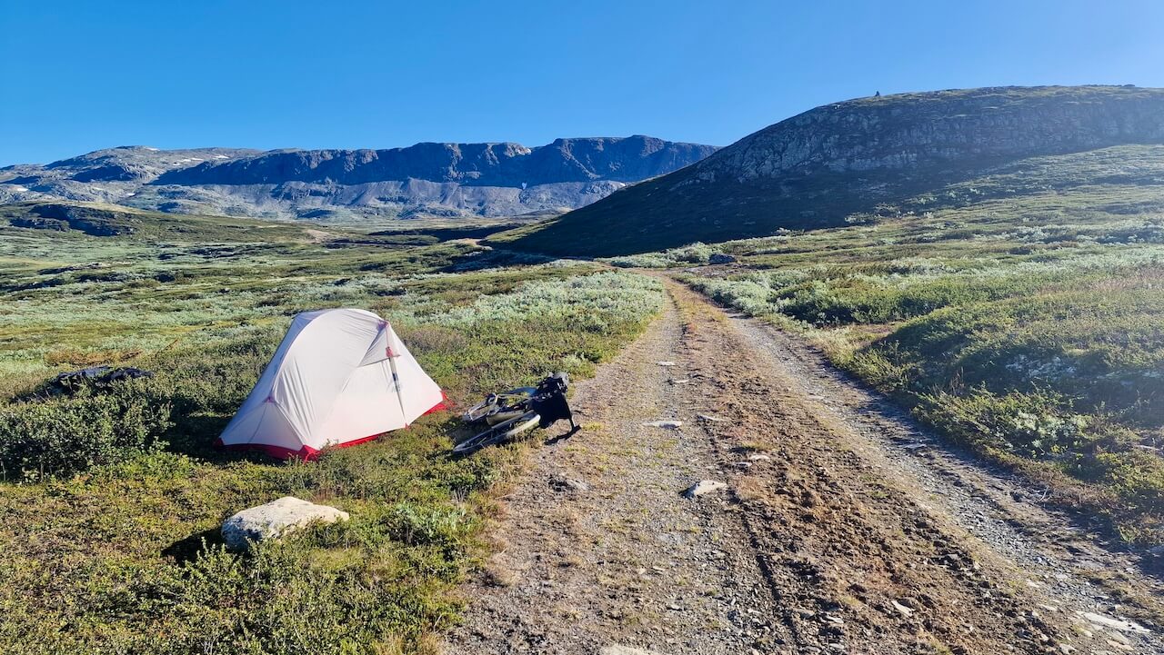
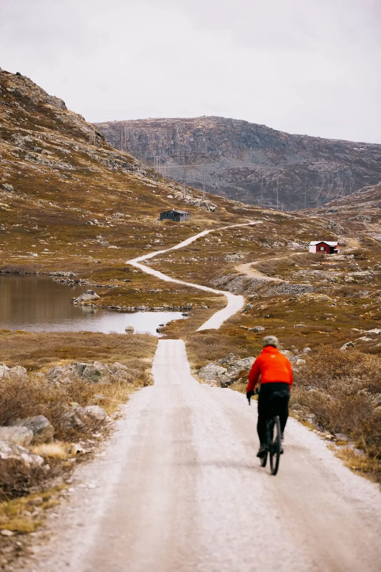
Villcamping på Hallingdalsplatået
Det er en utfordrende klatring opp på platået, og når du kommer til toppen og sykler på grusveiene langs store vannmagasiner, kjenner du kanskje på ønsket om å få mest mulig ut av denne opplevelsen. Det finnes private hytter i området, så sørg for å holde minst 150 meters avstand og slå opp teltet ditt i vill og avsidesliggende omgivelser. Er ikke dette selve essensen av bikepacking?
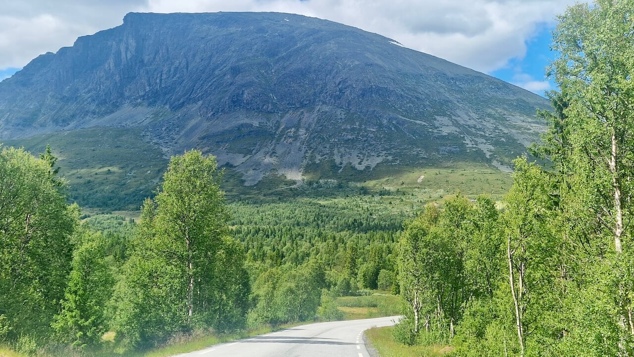
Panoramaveien
Sykling på Norges panoramavei er en drømmetur for sykkelturister, som starter på jevn asfalt og deretter unnslipper summingen av biler for et pust av frisk ensomhet på en skjult sti. Den trange stien snirkler seg gjennom alpine beitemarker og bjørkeskog, og gir deg tid til ro og naturskjønne belønninger. Det er blandingen av polert rute og hemmelig grusvei som gjør denne strekningen uforglemmelig.
Nyttige lenker
Booking.com – for overnattingsmuligheter over hele Norge
Entur-appen – for planlegging av kollektivreiser rundt om i Norge
Ferjer – ruter, rutetider og informasjon fra Statens Vegvesen
Vild camping etikette – viktig å vite
Videre lesning
Ha i bakhodet
Alle sykkelruter publisert på CYCLENORWAY.com er ment som planleggingsressurser og kilder til inspirasjon som skal brukes sammen med din egen research og vurdering. Ruter er laget ved hjelp av grundig research, men hver syklist har forskjellige ferdigheter, forventninger og risikotoleranse. Noen utfordrende grusruter kan inkludere strekninger der man må bære sykkelen, gjørmete eller våte stier, teknisk terreng, bratte stigninger, utforkjøringer eller avsidesliggende områder som kanskje ikke passer for alle. Ruteplanleggingsprogramvare og forhold kan også endre seg eller inneholde unøyaktigheter. Sykling i Norge er generelt veldig trygt. Likevel, hvis du velger å sykle disse rutene, gjør du det på eget ansvar. Hvis du er usikker på en bestemt rute, legg igjen en kommentar nedenfor, så gir vi deg råd.


Legg igjen en kommentar