


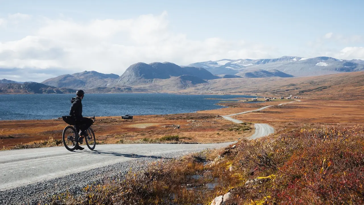
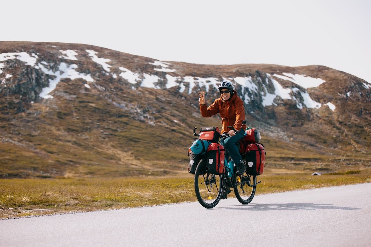
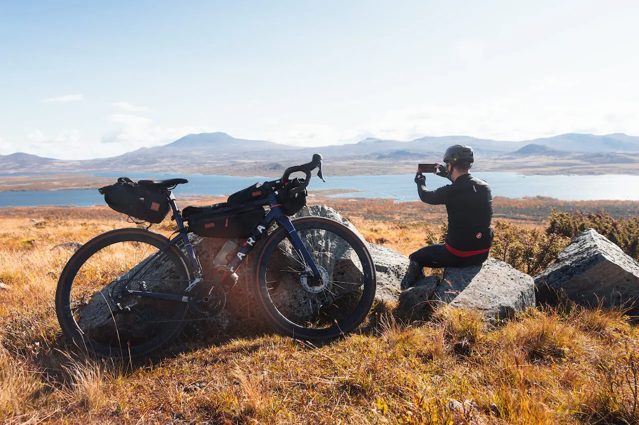
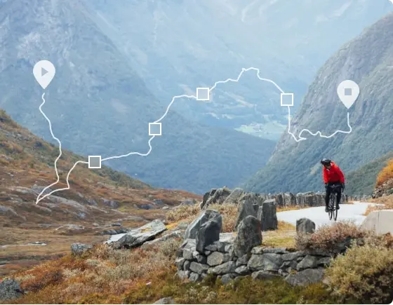
Discover Norway by Bike
Plan your next cycling adventure with confidence
See what’s included in your membership
Everything you need to explore Norway by bike, from route maps and GPX files to accommodation, transport advice and local knowledge.
Planner
1-time payment, no renewal
€29
3 Months Access
-

Complete route guides with POI GPX + maps
-
Accommodation & transport logistics
-
Avoid dangerous tunnels and route mistakes
-
Access to 100+ premium routes, all cycled and approved
-
Save weeks of planning and hassle with full website access
Annual
Automatic renewal after
12 months, cancel at anytime
€59
12 Months Access
-

All Planner Features +
-
€15 off Consultation with our founder
-
Custom Made Self Guided Itineraries with RidewithGPS App
-
Best value for riders planning long trips or multiple journeys
-
12 months of updates & new routes
What our Members think
“A must if you want to cycle Norway. You can get all the super valuable information on the site, and even better, admins replied to all my questions super quickly and really helped us with planning our cycling journey.”
Ljubljana, Slovenia
“There is so much valuable information on this site. I loved the detour options from the main routes, really insightful and comprehensive. The site basically answered all my questions, and if I need further help, there is both the forum and private Facebook group to use. I look forward to further updates and videos!”
London, UK
“I am genuinely amazed by the level of dedication and effort that has been poured into this website. So much I didn’t know about my own country!”
Oslo, Norway
a growing
community
100+ epic routes
Every road tried and tested
1000 + site members
The most comprehensive cycling site on the internet.
1,500 + Community members
Cycle with knowledge, confidence, peace of mind and a community around you
Need some personal help?
Book a call with our founder, Matthew, and have all your questions and concerns answered,
Want to contribute?
If you have experience in one of the following
- Write creative, engaging blog posts about your adventures in Norway (English or Norwegian)
- Write a full route detail page – must have cycled the route and have good photos (English or Norwegian)
Annual Membership
0 €