


246km
Distance
4659m
Elev. Gain
2-5
Days
80%
Unpaved
8/10
Difficulty
40-50m
Ideal Types
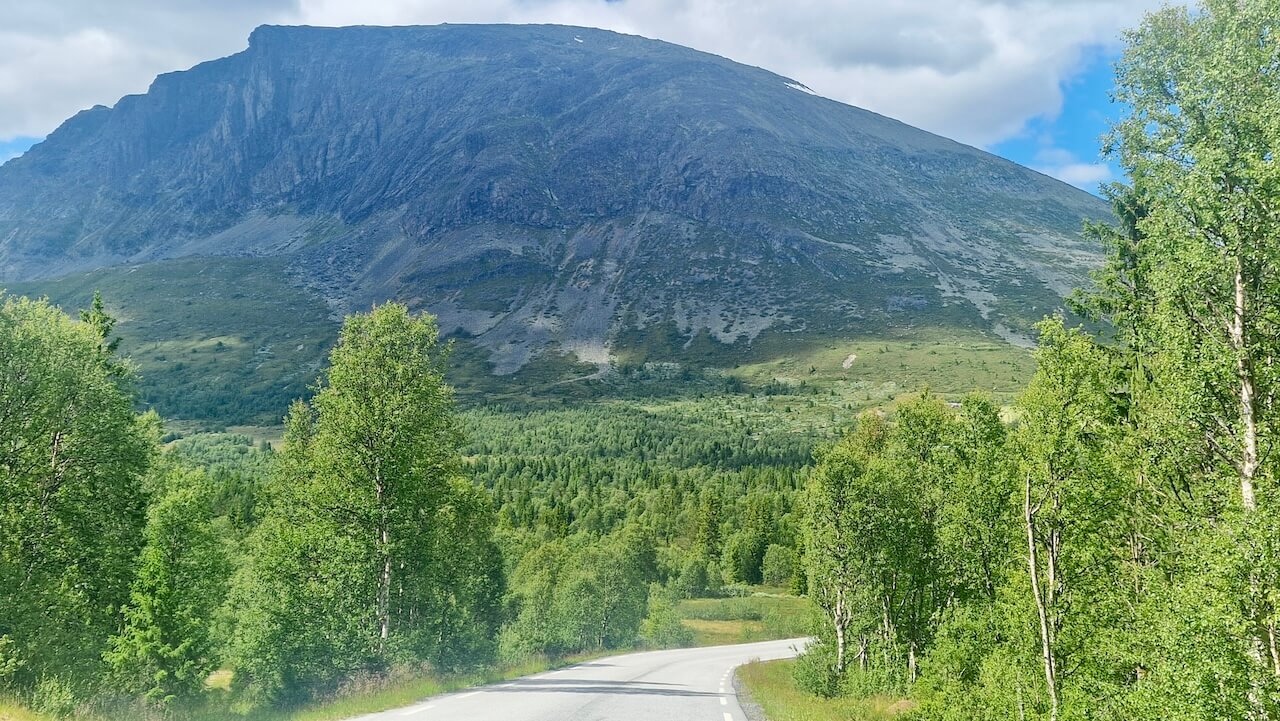
The High Voltage Route
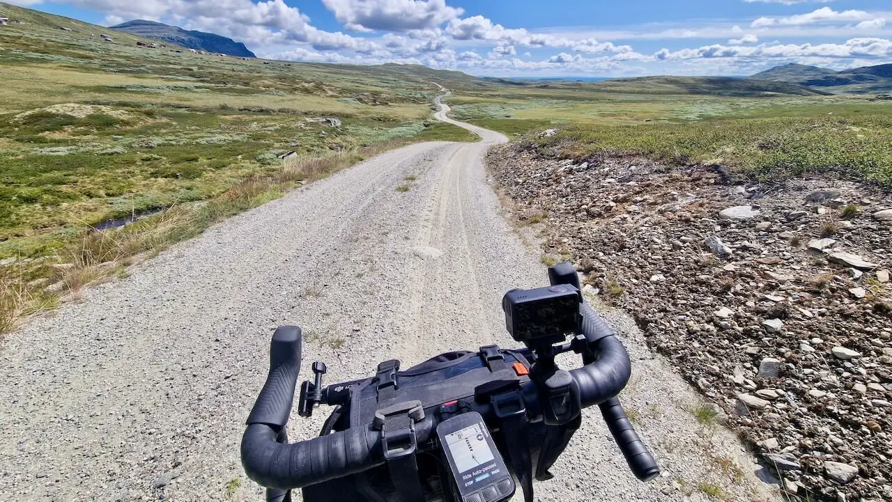
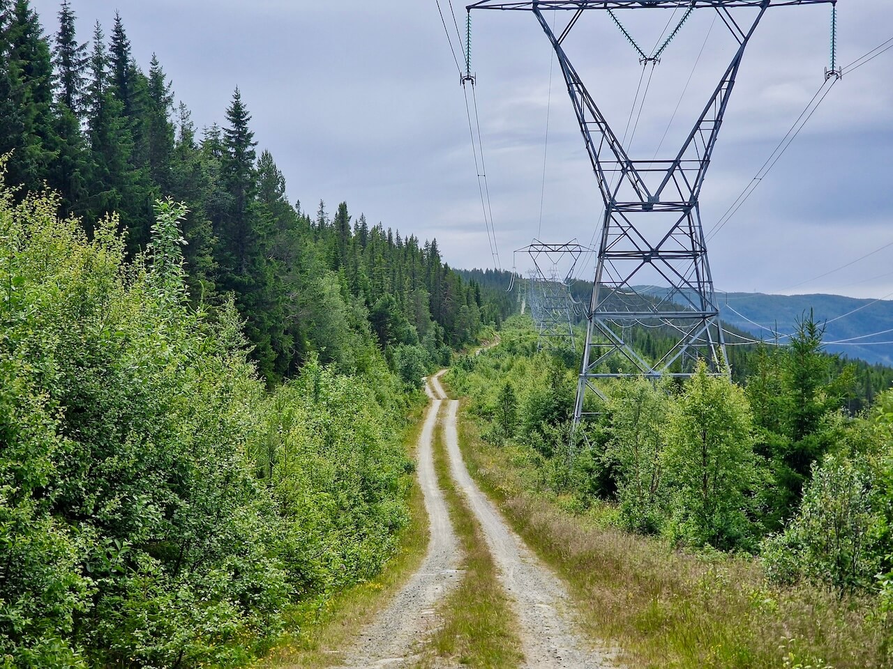
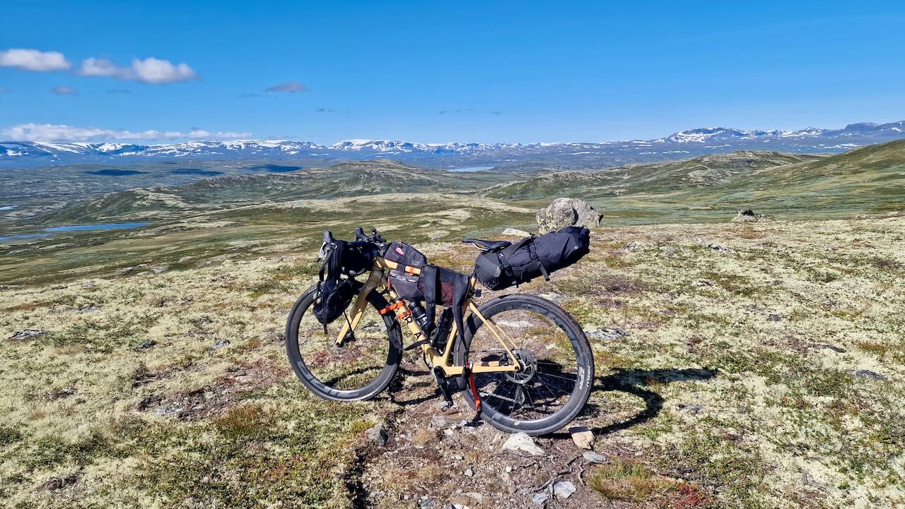
Most gravel routes follow old postal roads, farm tracks, or forest paths. This one doesn’t. The High Voltage route takes a different approach, climbing into the high mountains along rugged service roads built not for people, but for power.
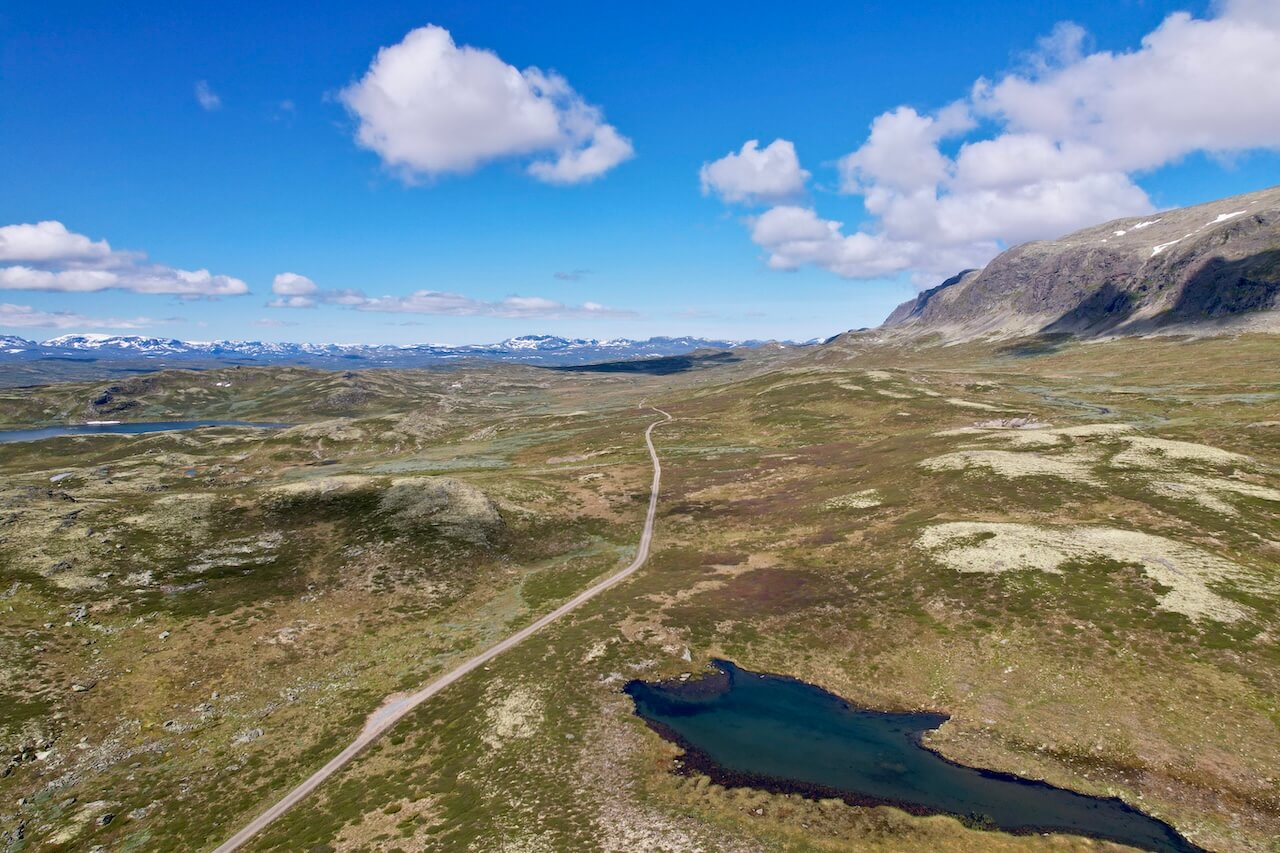
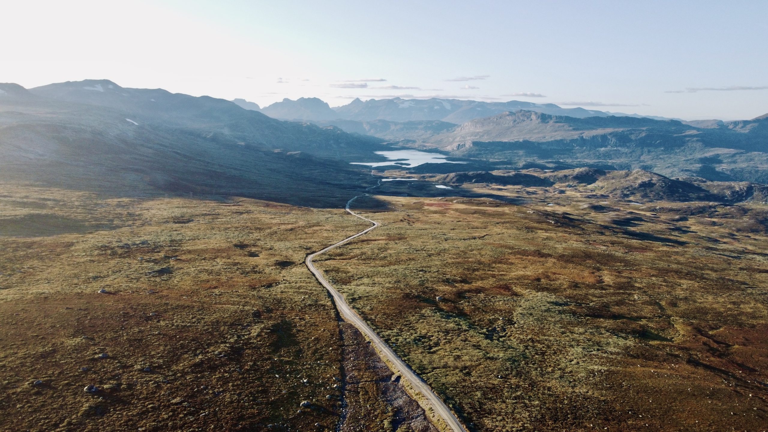
Over three demanding days and 250 km, the route winds across plateaus, skirts hydropower stations, and traverses remote terrain shaped by Norway’s energy legacy. It’s a ride that pushes your legs and rewards your effort with silence, scale, and solitude.
These roads were carved for maintenance crews, not tourists, making them a hidden gem for those craving real backcountry riding. And if you’re looking to link Rallarvegen and Mjølkevegen with something bold and off-grid, this is your line through.
It’s not about comfort. It’s about connection, to landscape, history, and the limits of your own endurance.
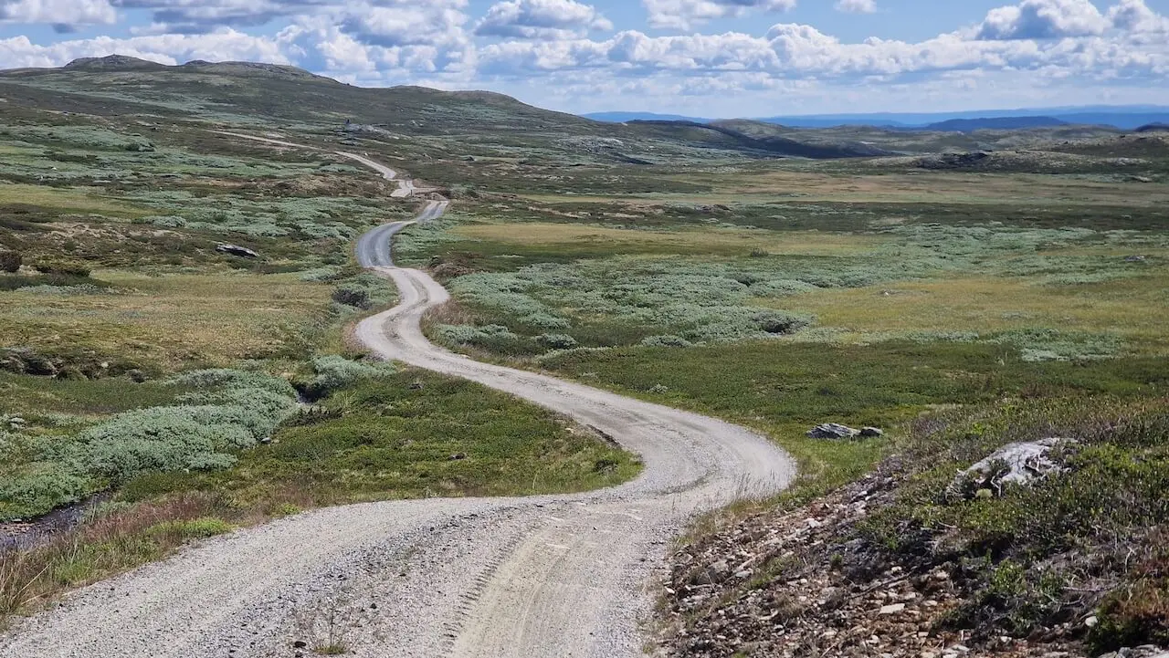
Route map
When?
This is a mainly gravel route with altitudes reaching above 1200m. A completely snow-free route will not occur until mid to late June.
Getting there
You can start and end this loop in Nesbyen, Gol, or Ål, all have a train station that the Oslo-Bergen train stops at. Book using the Entur app.
Hazards
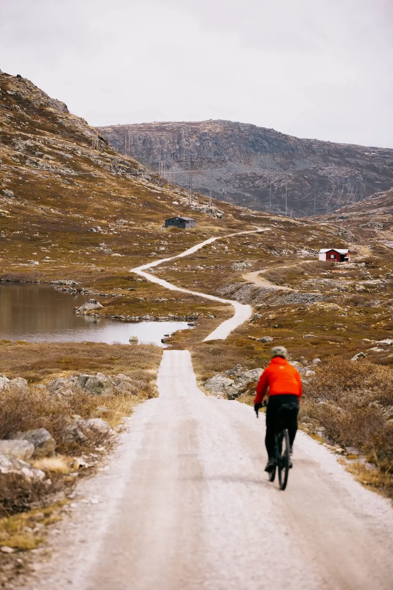
– There is a 3.5km Hike-A-Bike section at 1200m and requires carrying or pushing your bike most of the way. It can be wet and boggy in places and is not recommended in bad weather.
A full breakdown of all hazards can be found on our full story page, along with other route options and Map POI’s.
Bike rental
A good overview of all options available in the surrounding Hallingdal area.
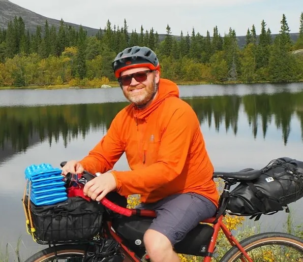
“I believe this is one of the best bikepacking loops in Norway but as a local rider I might be biased!”
Local recommendations
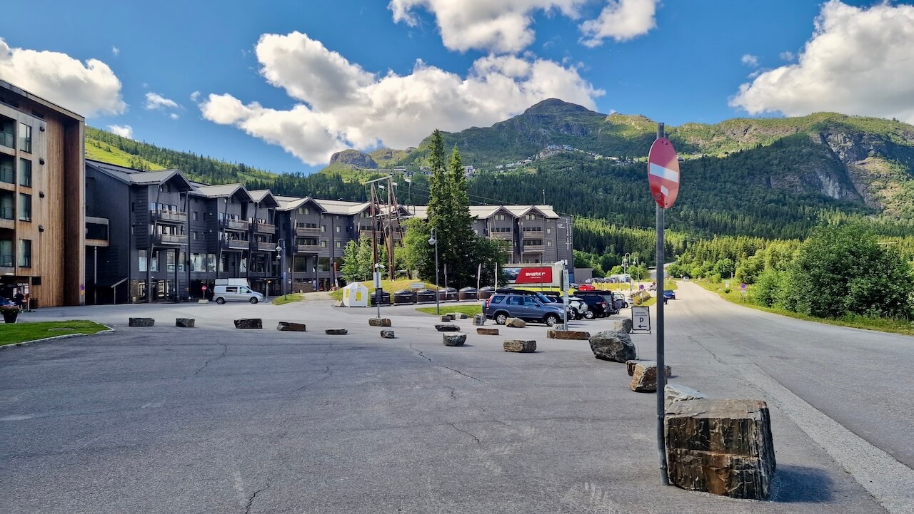
Hemsedal Ski Town
For the bikepacker passing through, Hemsedal is more than just a dot on the map; it’s a welcome pause in the high mountains. This alpine village offers everything a weary cyclist might need: a well-stocked grocery store, good coffee, and a chance to rest the legs without losing the sense of adventure. If you’re staying the night, take the ski lift and ride one of the purpose-built mountain bike trails or spin out your legs along quiet gravel roads leading into side valleys.
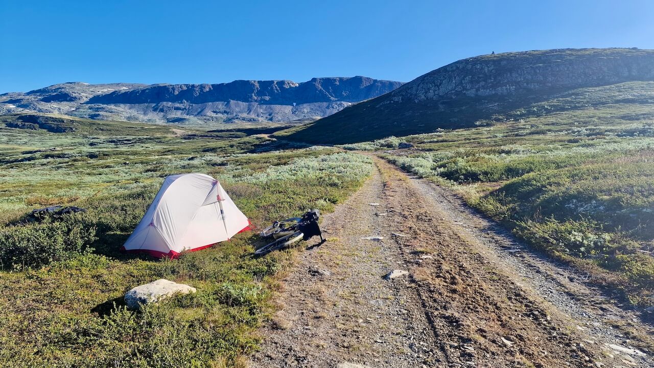
Wild Camping on Hallingdal Plateau
It’s a challenging climb up onto the plateau, and by the time you reach the top and cycle the gravel roads along large hydro lakes, you might feel you want to make the most of this experience. There are private cabins in the area, so ensure you are at least 150m away and pitch your tent in a wild and remote environment. Isn’t this what bikepacking is all about?
Panaroma Road
Cycling Norway’s Panorama Road is a dream ride for bikepackers, starting on smooth asphalt, then escaping the buzz of cars for a breath of fresh solitude on a hidden single‑track section. That narrow trail winds through alpine pastures and birch woods, giving you quiet time and scenic reward. It’s that blend of polished route and secret off‑road detour that makes this stretch unforgettable.
Useful links
Booking.com – for accommodation options across Norway
Entur app – for planning public transport trips around Norway
Ferries – routes, timetables and information by Statens Vegvesen
Wild camping etiquette – important to know
Further Reading
Keep in mind
All cycling routes published on CYCLENORWAY.com are intended as planning resources and sources of inspiration to be used alongside your own research and judgement. Routes are created using careful research, but every cyclist has different abilities, expectations, and risk tolerance. Some challenging gravel routes may include hike-a-bike sections, muddy or wet hiking paths, technical terrain, steep climbs, descents, or remote areas that may not be suitable for everyone. Route mapping software, and conditions can also change or contain inaccuracies. Cycling in Norway is generally very safe. Nevertheless, if you choose to ride these routes, you do so at your own risk. If you are unsure about a certain route leave a comment below and we’ll advise you.


Leave a Reply