


79 km
Distance
827m
Dénivelé positif
1-2
Jours
85%
Non pavé
6/10
Difficulté
35-45m
Types Idéaux
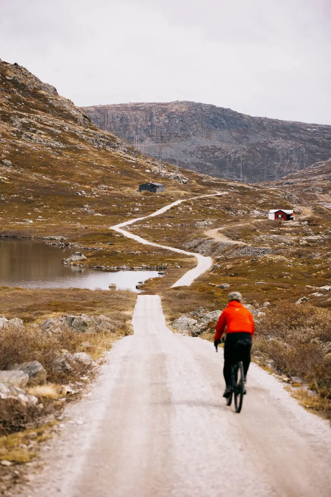
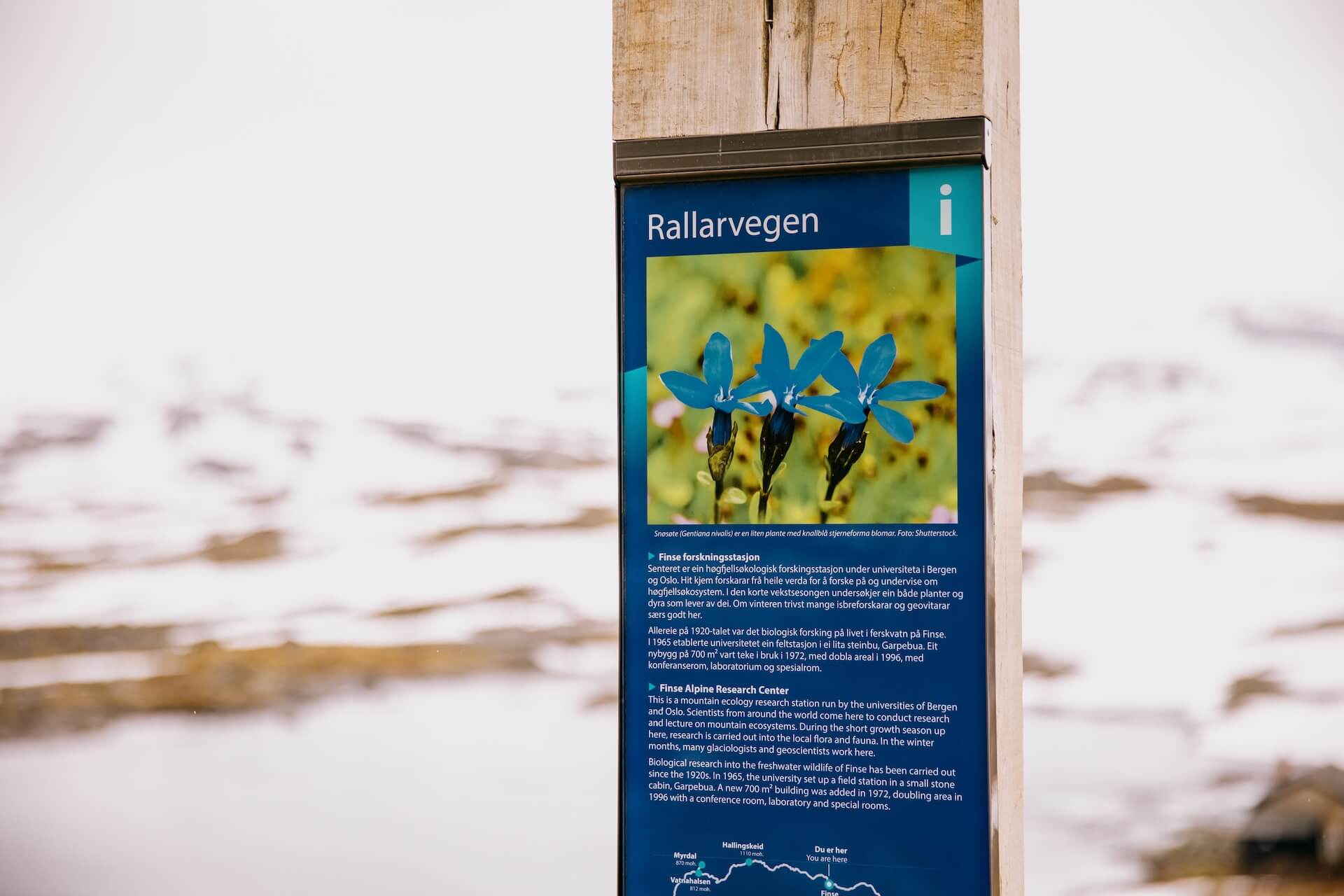
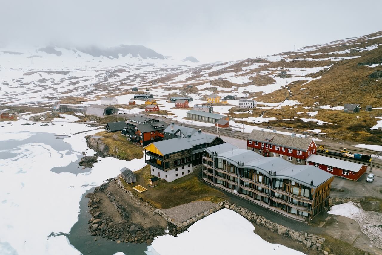
Rallarvegen
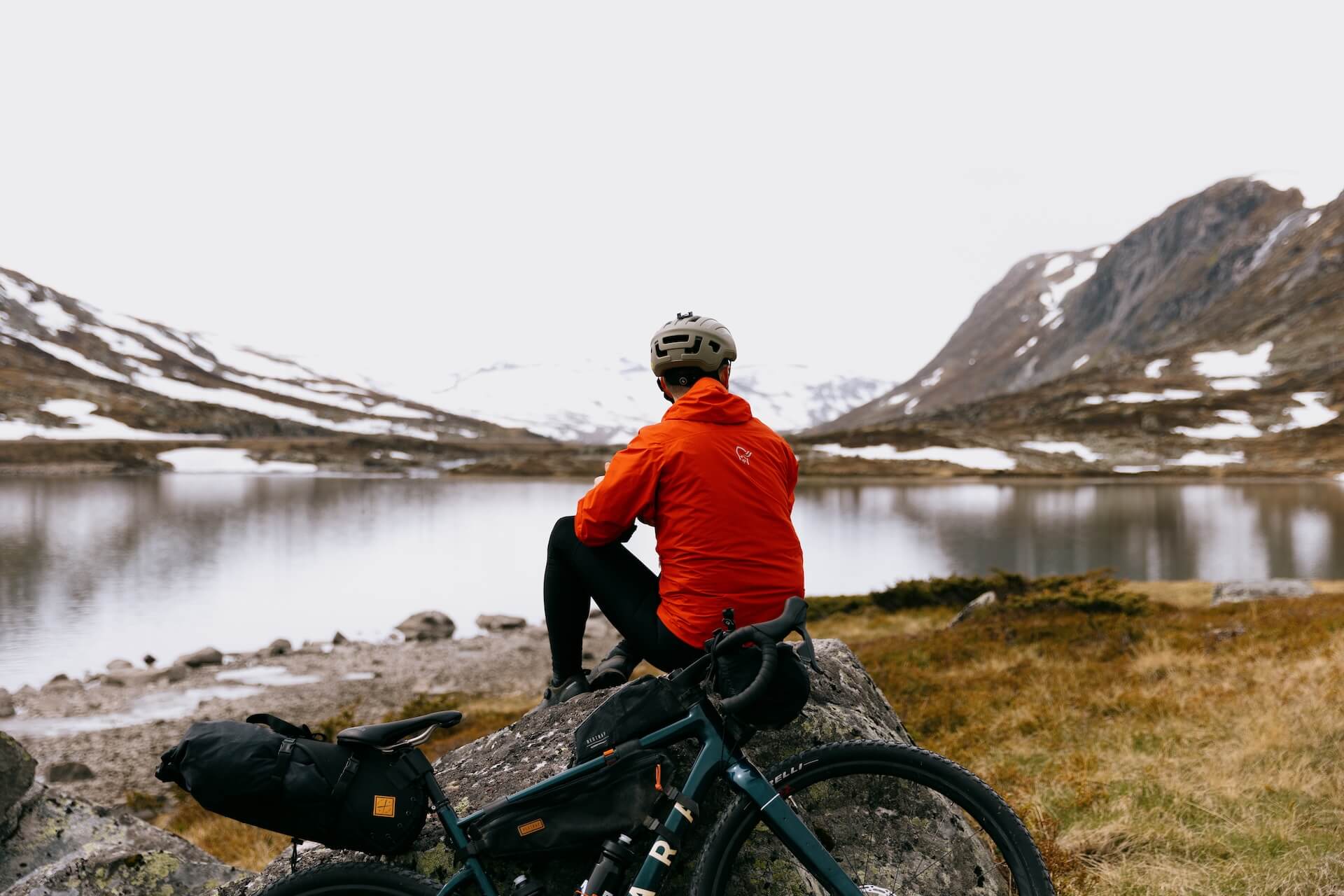
Le circuit cycliste le plus réputé de Norvège offre l'occasion idéale à ceux qui souhaitent explorer des paysages sauvages sans se soucier de leur sécurité ni des imprévus. Bien que le parcours traverse des terrains sauvages et accidentés, il offre également de nombreuses possibilités d'hébergement et d'assistance en cas de besoin, ce qui en fait l'itinéraire parfait pour se familiariser avec le vélo en pleine nature. À l'origine une route de construction pour la ligne ferroviaire Bergensbanen, la Rallarvegen s'étend de Haugastøl à Flåm, menant les cyclistes à travers le vaste plateau de Hardangervidda.
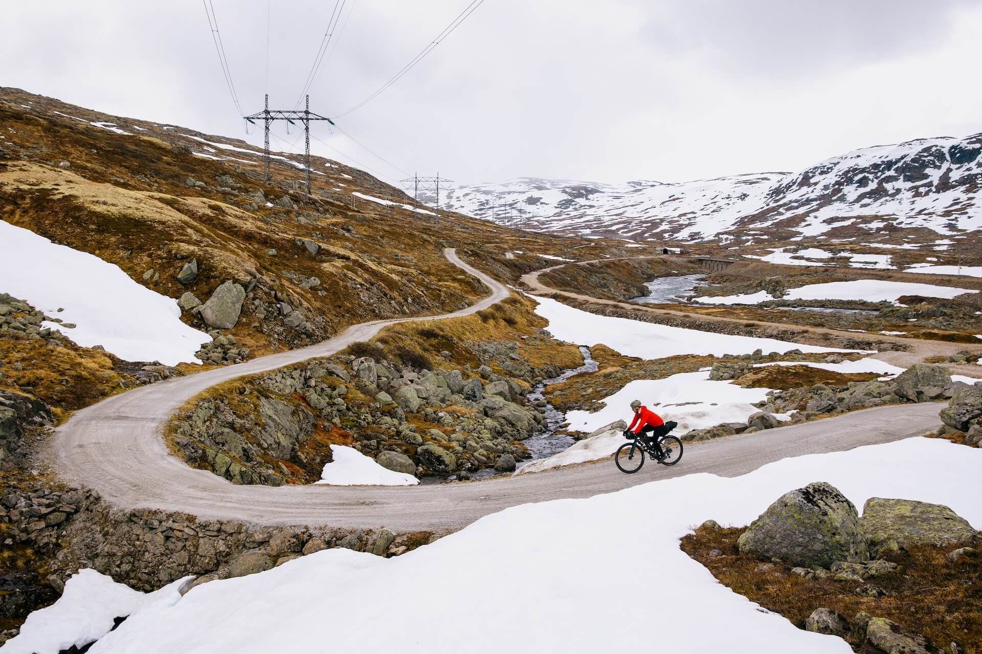
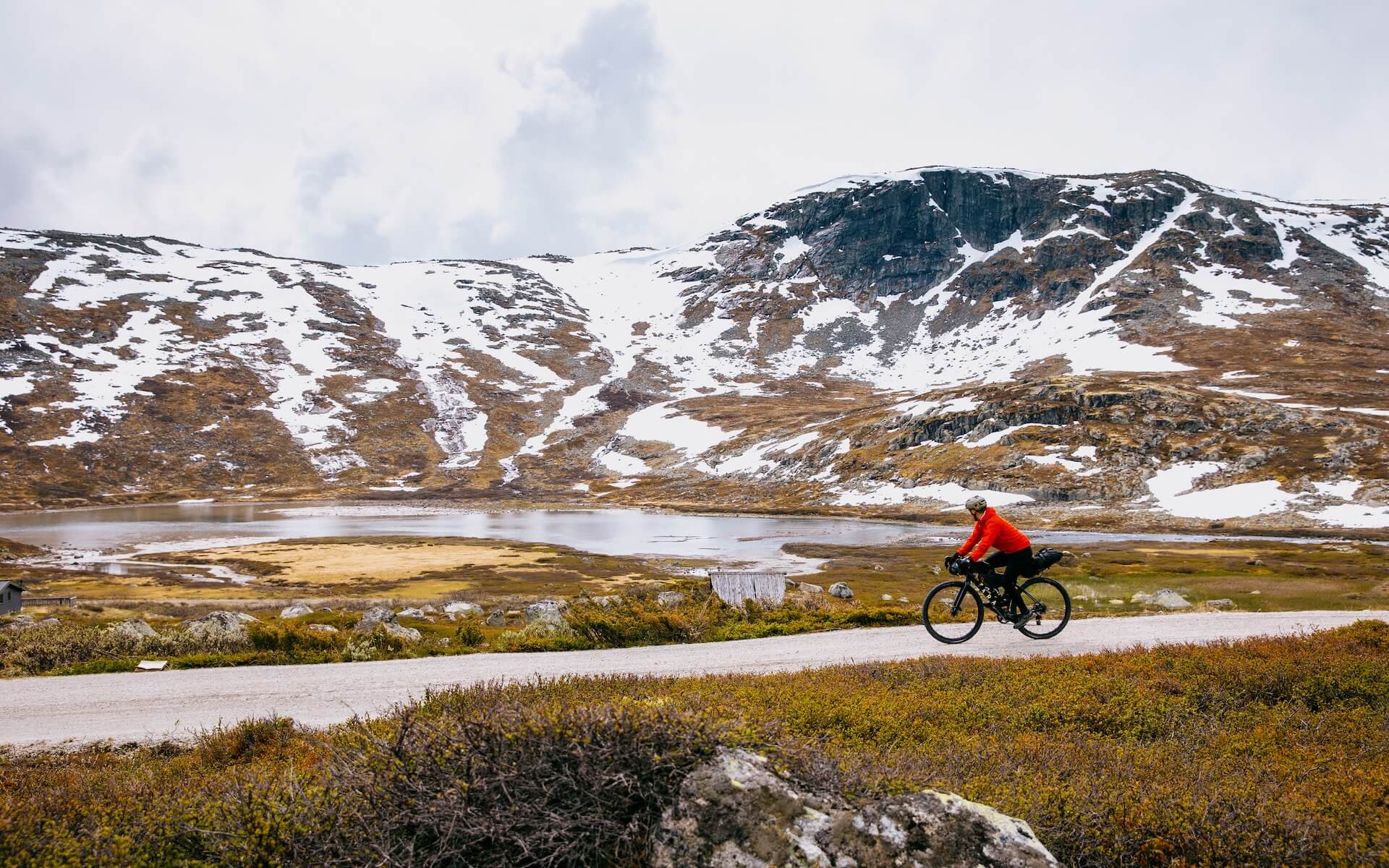
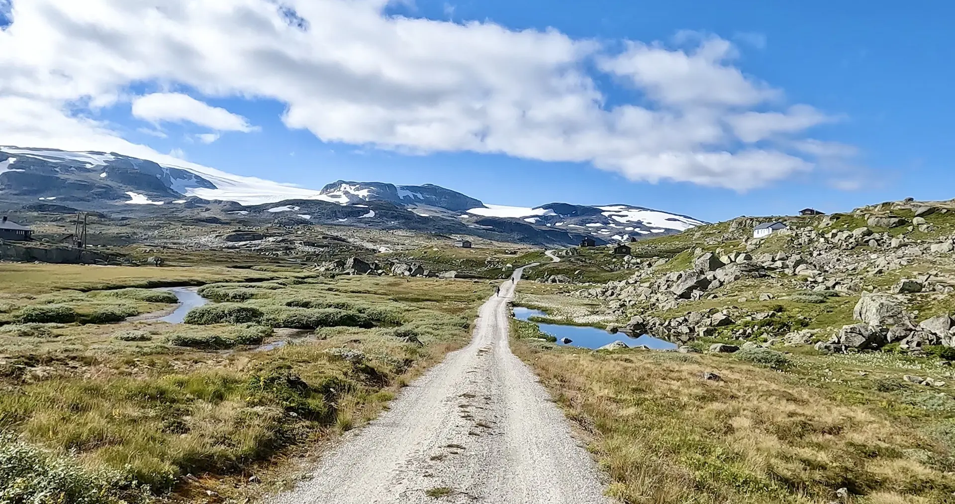
Tout au long du parcours, les cyclistes peuvent admirer des vues imprenables sur des sommets vertigineux, des lacs cristallins et de magnifiques cascades. Le parcours mêle chemins de gravier, descentes palpitantes et montées abordables, ce qui le rend idéal pour les cyclistes expérimentés comme pour les débutants en quête d’une sortie pleine d’aventure. Parmi les points forts à ne pas manquer, citons Finse, qui abrite la gare la plus haute de Norvège, et la descente exaltante vers le pittoresque village de Flåm, niché au bord d'un fjord. Avec son histoire riche, ses paysages captivants et son terrain exigeant mais accessible, Rallarvegen offre une expérience cycliste inoubliable pour tous.
Des questions comme “ L'itinéraire convient-il aux enfants ? ”, “ Ma batterie de vélo électrique tiendra-t-elle le coup ? ” et “ Quelles extensions puis-je ajouter ? ” trouvent toutes réponse dans notre adhésion Premium. Histoire complète Page Rallarvegen. Le guide le plus complet pour profiter au maximum de votre voyage, écrit par des locaux expérimentés.
Carte routière
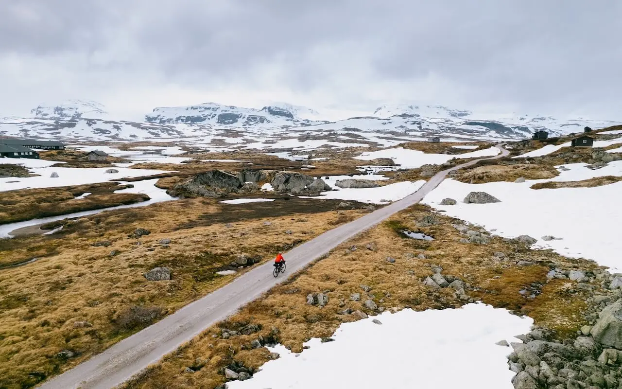
Quand ?
– Haugastøl – Finse (28 km)Ces dernières années, cette section a ouvert début à mi-juin et constitue une agréable balade reliant les deux gares.
– Finse – Hallingskeid (11km)C'est la partie la plus haute et la plus difficile. La neige ne disparaît pas complètement avant début ou mi-juillet. Si elle est bloquée, prenez simplement le train un arrêt pour contourner cette section.
– Hallingskeid – Myrdal (15 km) : Généralement clair mi-juin à fin juin
– Myrdal – Flåm (17 km) : Début/mi-juin.
Une mise à jour rapport l'accessibilité de la route est trouvé ici. Nous recommandons vivement de vérifier ce point si vous roulez en juin ou début juillet.
– Remarque : En juin, de nombreux hôtels et cafés seront fermés sur la route.
Y arriver
Vous pouvez rejoindre le Rallarvegen en train via la ligne de Bergen ; les gares de Haugastøl, Finse et Myrdal offrent un accès direct à l'itinéraire. Des trains fréquents relient directement Oslo et Bergen à ces points de départ, et la ligne dispose d'un wagon spécialement réservé aux vélos. De nombreux cyclistes partent de Haugastøl, mais vous pouvez également commencer à Finse ou à Myrdal, selon la longueur du parcours que vous souhaitez parcourir.
Dangers
– La route n'est pas entièrement sans voiture. La section de Haugastøl à Finse autorise les voitures, et vous pourriez croiser quelques locaux se rendant dans leurs chalets.
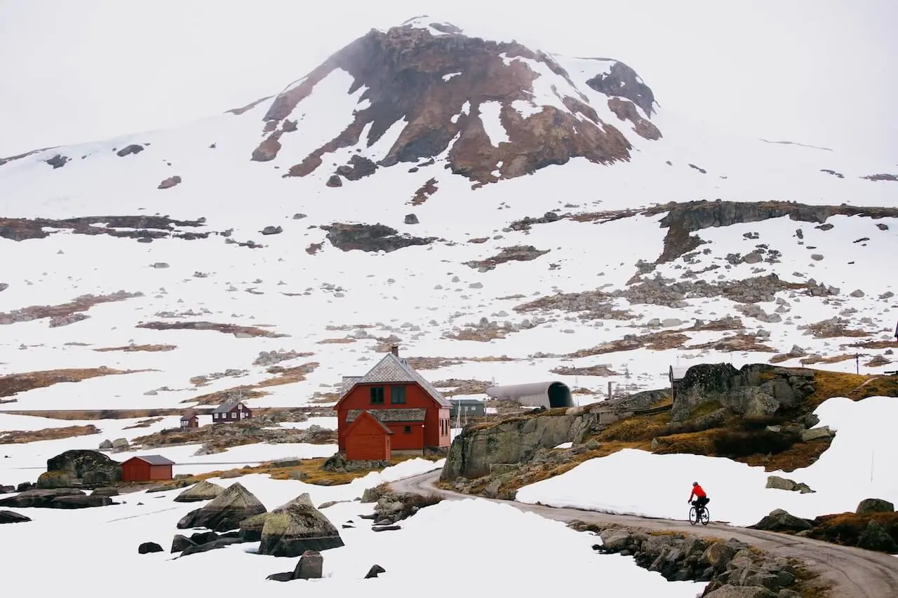
– La neige en début de saison peut être dangereuse, et il est recommandé de descendre et de pousser son vélo.
– La section entre Finse – Hallingskeid (11 km) présente des zones rugueuses, rocheuses et inégales avec quelques descentes courtes mais abruptes. Les cyclistes inexpérimentés devraient prendre leur temps sur cette partie.
– Descente vertigineuse vers Flåm – La dernière descente de Myrdalsberget comporte 21 virages en épingle serrés sur une route de gravier rugueuse. Les freins chauffent rapidement, et de nombreux cyclistes font des sections à pied pour des raisons de sécurité.
Location de vélos
Vous n'avez pas besoin d'apporter votre propre vélo – il existe des options de location le long de l'itinéraire avec des points de prise en charge et de retour flexibles.
– Haugastøl Turistsenter – Le plus grand et le plus ancien service de location avec des vélos personnalisés pour le Rallarvegen. Récupération à Haugastøl, retour à Finse, Myrdal ou Flåm.
– Location de vélos à Flåm - Idéal si vous terminez à Flåm. Train jusqu'à Finse et retour en descente.
– Le meilleur de la Norvège (Finse, Kårdal, Flåm) – Locations disponibles à plusieurs points le long de la ligne.
– Informations sur le chemin de fer de Flåm – Aperçu des stations et options de retour.
Astuce : Haugastøl est le point de départ le plus fiable avec les meilleurs vélos et le meilleur soutien.

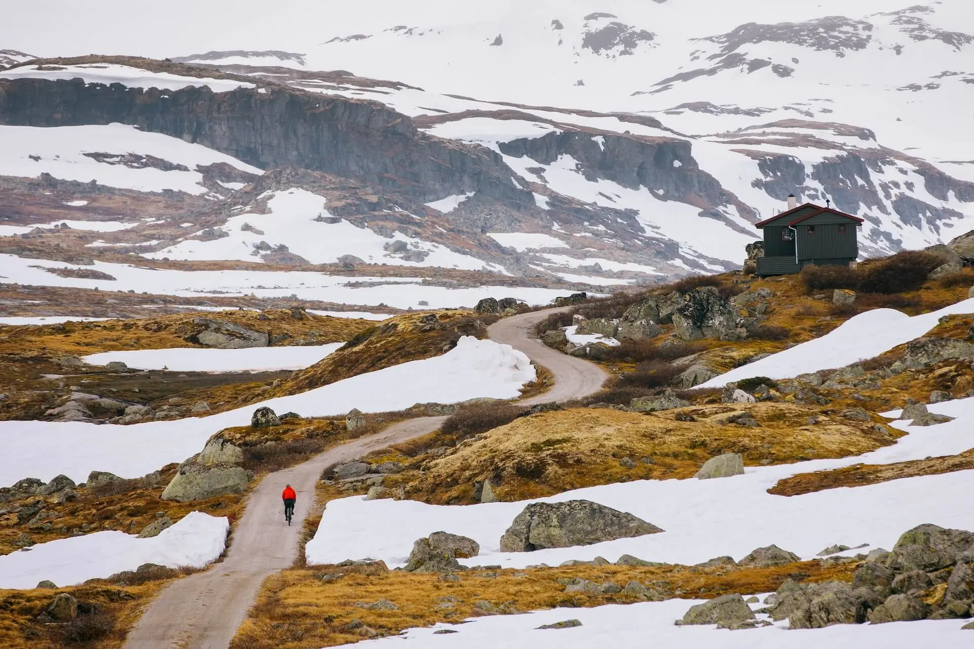
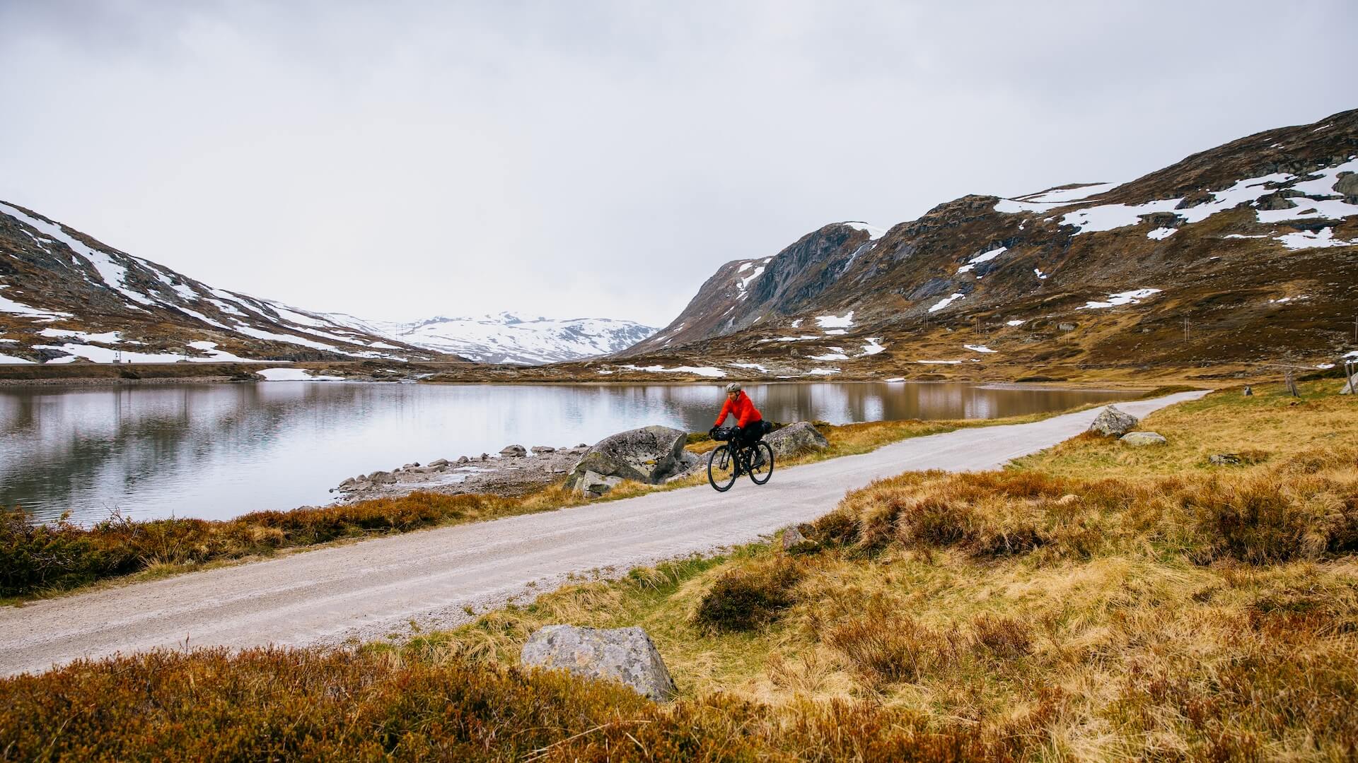
Avec des paysages et une histoire à la hauteur de sa renommée, le Rallarvegen est bien plus qu'un simple parcours : c'est un véritable rite de passage pour les cyclistes
Recommandations locales
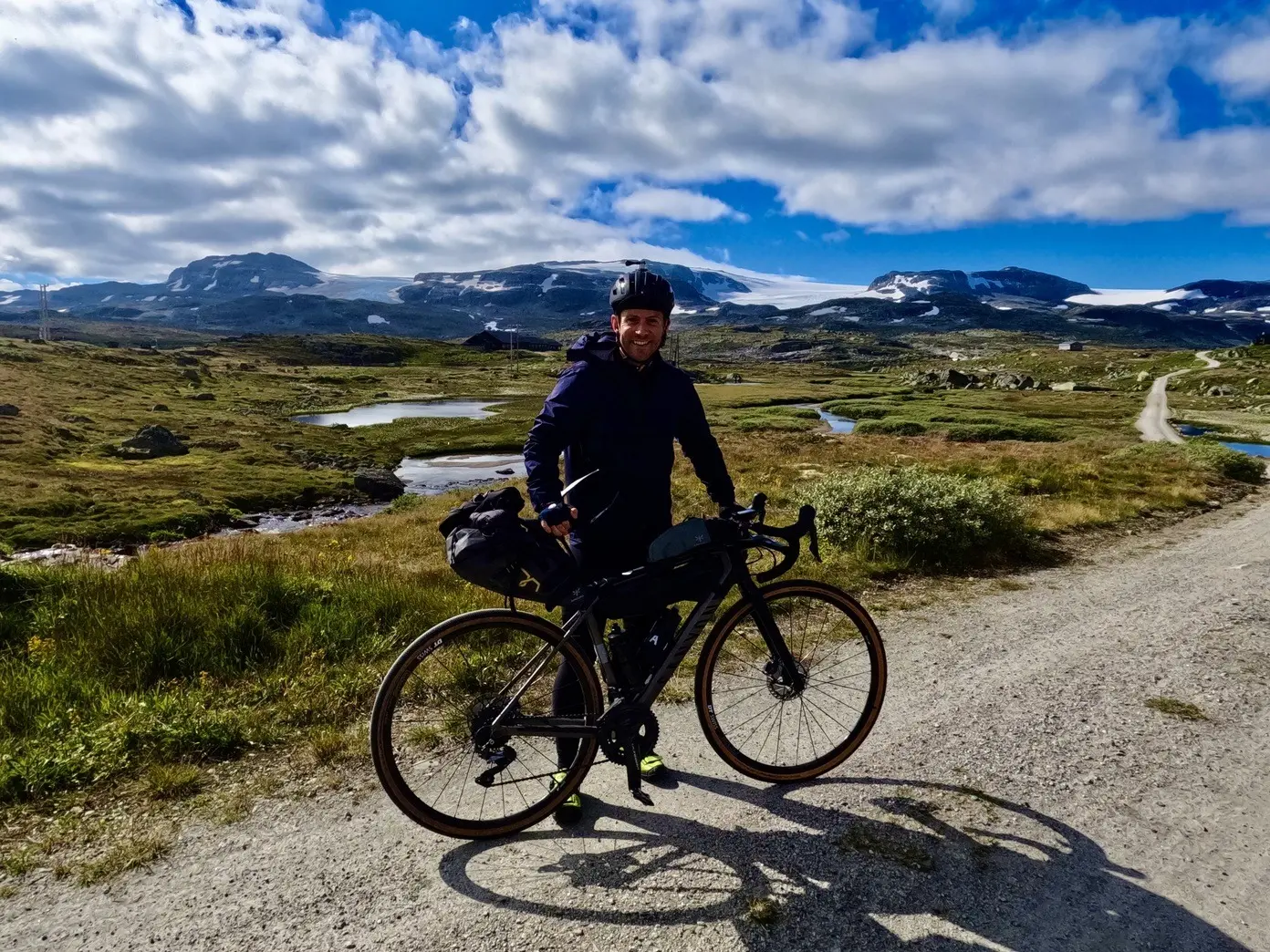
Hardangerjøkulen
Lorsque vous approchez du petit village de Finse, le Hardangerjøkulen, sixième plus grand glacier de Norvège, apparaît. Par temps clair, il domine le plateau, ce qui en fait l'un des véritables points forts de l'excursion.
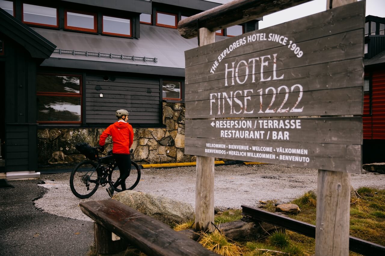
Finse 1222 Hôtel & Café
Le plus haut hôtel de Norvège, juste à côté de la gare. Super endroit pour un café, des gaufres, ou même une nuit avec vue sur le glacier. Pension complète disponible.
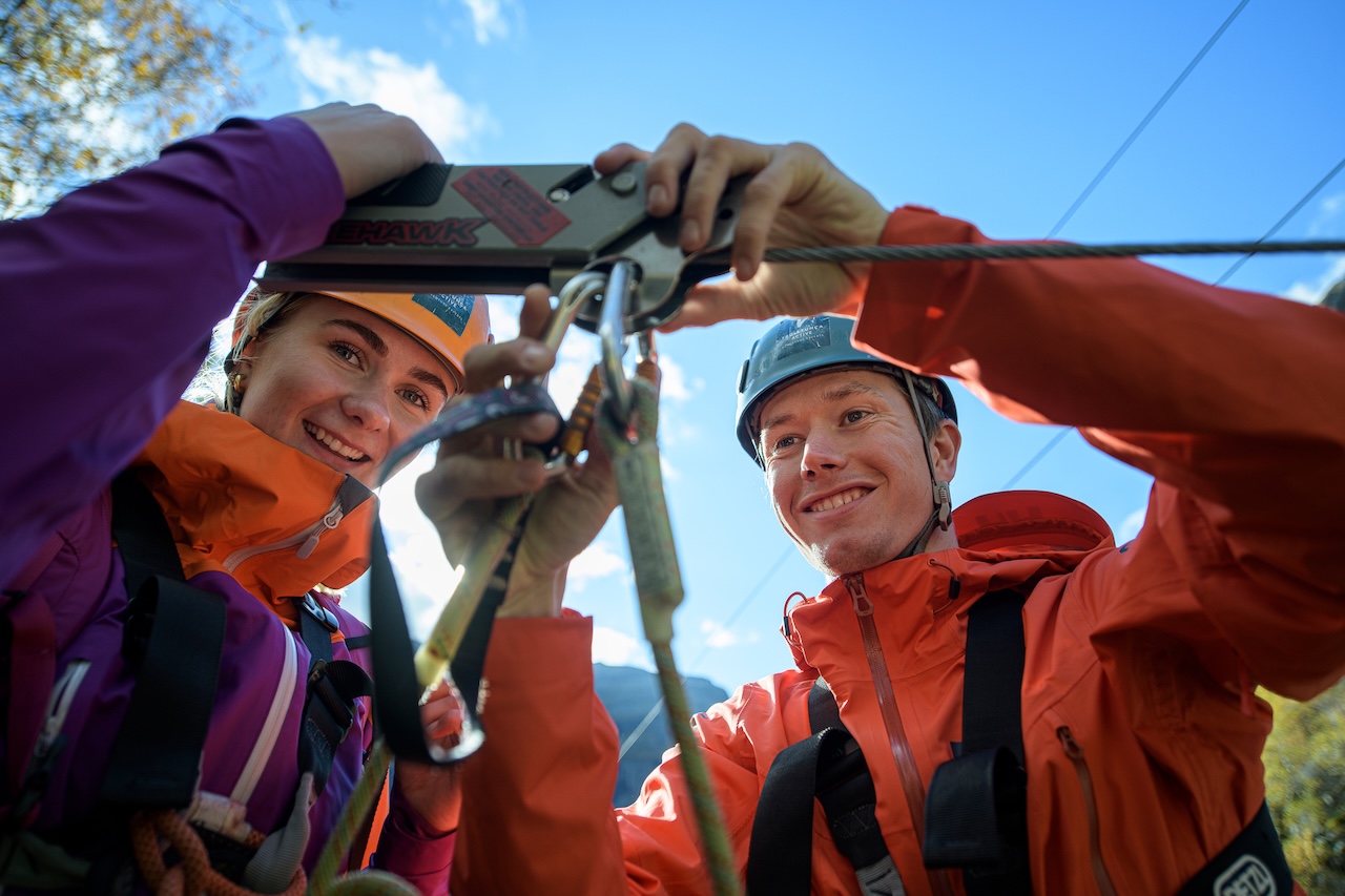
Flåm Zipline
Flåm Zipline, près de Myrdal, est la plus longue tyrolienne de Scandinavie à 1,381 m, atteignant des vitesses allant jusqu'à 100 km/h et dropping 305 m à travers la spectaculaire vallée de Flåm. Les billets sont NOK 850 pour adultes et 600 NOK pour les enfants (moins de 15 ans). En 2025, la tyrolienne fonctionnera tous les jours à partir de 9h30 à 16h30(prolongé jusqu'à 18h00 en juillet-août) entre 3 mai et 11 octobre
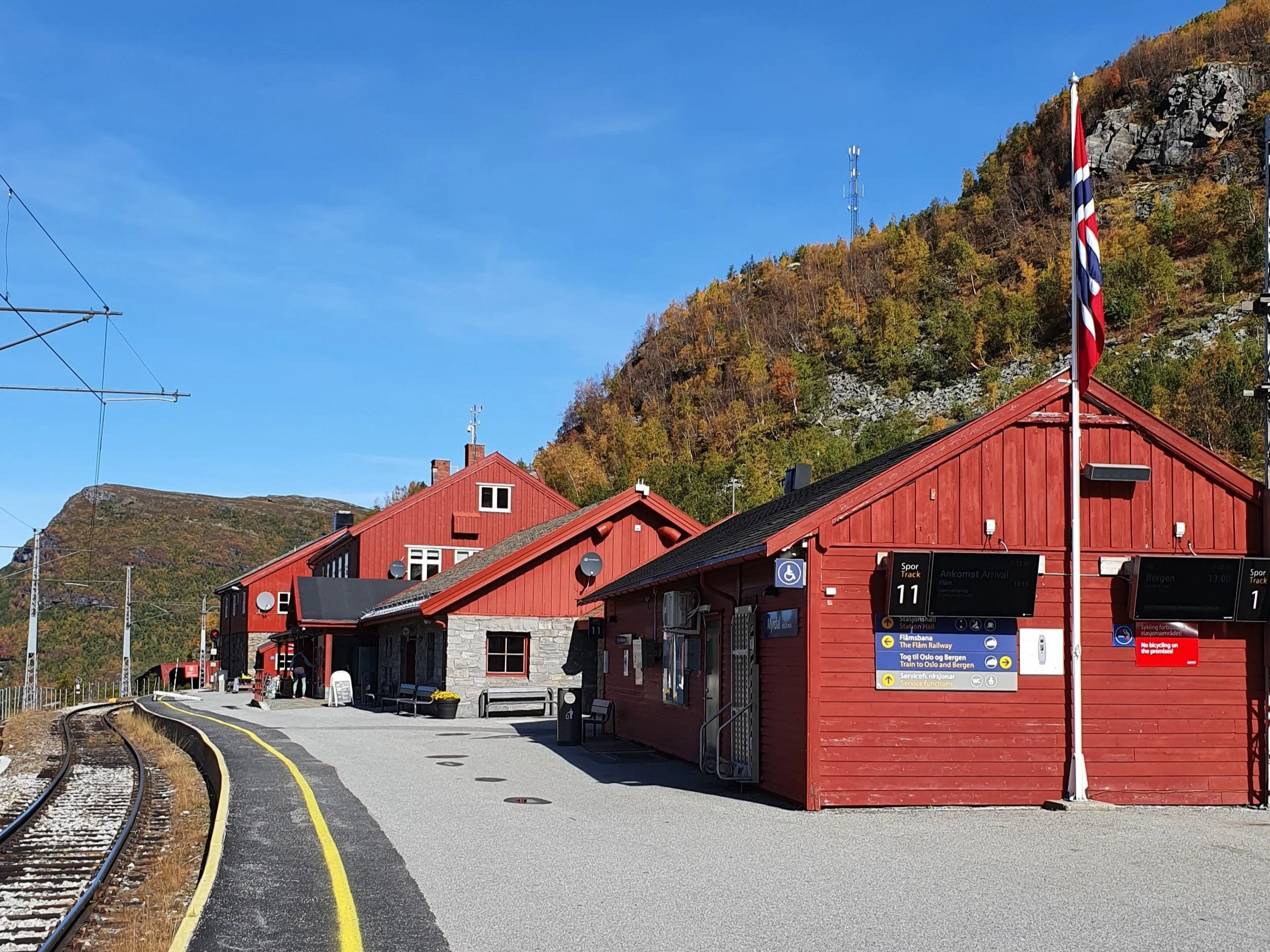
Café Rallaren
Le Café Rallaren à la gare de Myrdal est un arrêt pratique pour manger et boire un café, avec un point de service pour vélos sur le quai si vous avez besoin de réparations ou d'ajustements.
Brasserie Ægir
Le pub Ægir Bryggeri à Flåm est l'endroit idéal pour terminer votre randonnée Rallarvegen, avec ses bières artisanales brassées sur place. La salle de style viking propose des repas copieux qui tombent à pic après une longue journée en selle. Son mélange d'ambiance, de cuisine locale et de bières primées en fait une récompense idéale à l'arrivée.
Musée de Rallar
Le musée Rallar de Finse est consacré aux ouvriers ferroviaires qui ont construit la ligne de Bergen au début des années 1900. Il présente des outils, des photos et des récits liés à la construction de la ligne ferroviaire et de la Rallarvegen. Petit mais fascinant, il met en lumière la vie difficile des “ rallar ” et enrichit votre balade dans la région. Le musée est ouvert en été, de début juillet à mi-septembre.
Liens utiles
Booking.com – pour les options d'hébergement dans toute la Norvège
Application Entur – pour planifier des trajets en transports en commun en Norvège
Ferry – itinéraires, horaires et informations par Statens Vegvesen
Étiquette du camping sauvage important à savoir
Lectures complémentaires
Garder à l'esprit
Tous les itinéraires cyclables publiés sur CYCLENORWAY.com sont destinés à des fins de planification et d'inspiration, à utiliser parallèlement à vos propres recherches et à votre jugement. Les itinéraires sont créés grâce à des recherches approfondies, mais chaque cycliste a des capacités, des attentes et une tolérance au risque différentes. Certains itinéraires de gravier difficiles peuvent inclure des sections où il faut porter le vélo, des sentiers boueux ou humides, des terrains techniques, des montées abruptes, des descentes ou des zones isolées qui peuvent ne pas convenir à tout le monde. Les logiciels de cartographie d'itinéraires, ainsi que les conditions, peuvent également changer ou contenir des inexactitudes. Le cyclisme en Norvège est généralement très sûr. Néanmoins, si vous choisissez d'emprunter ces itinéraires, vous le faites à vos propres risques. Si vous avez des doutes sur un itinéraire particulier, laissez un commentaire ci-dessous et nous vous conseillerons.


Laisser un commentaire