


225 km
Distance
4000 m
Dénivelé positif
2-5
Jours
80%
Non pavé
7/10
Difficulté
32-40 mm
Types Idéaux
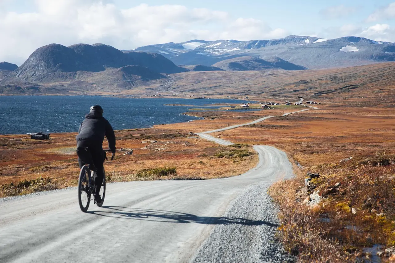
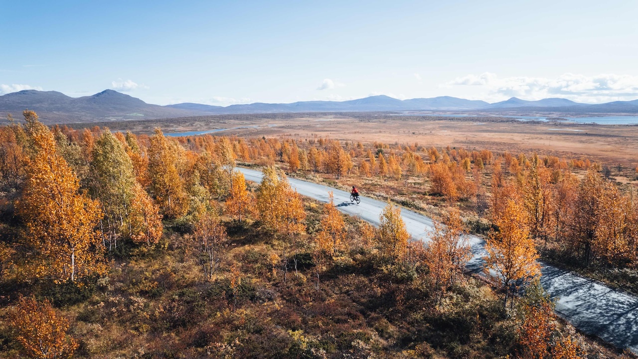
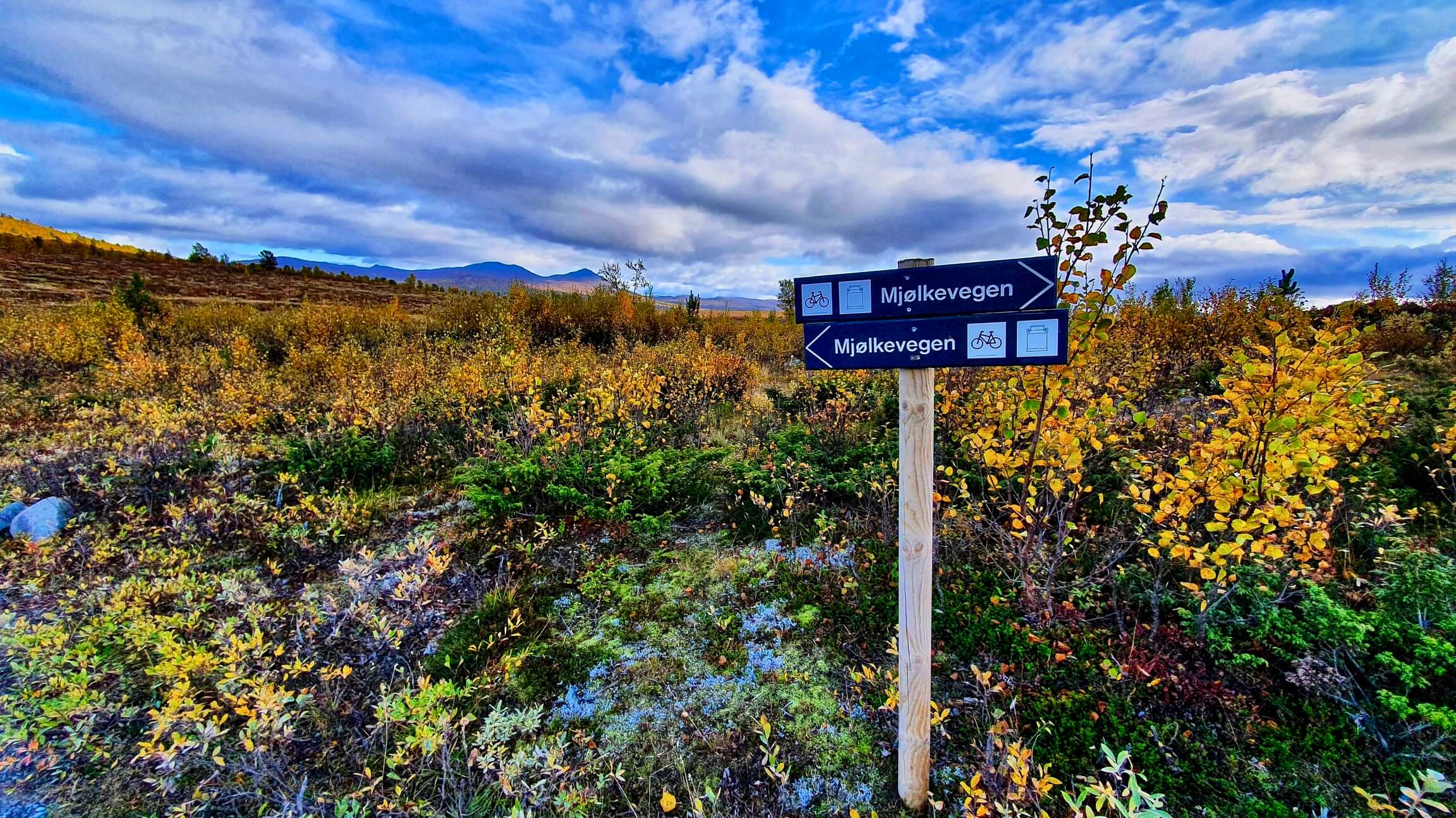
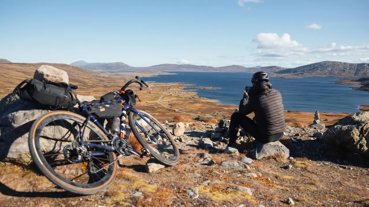
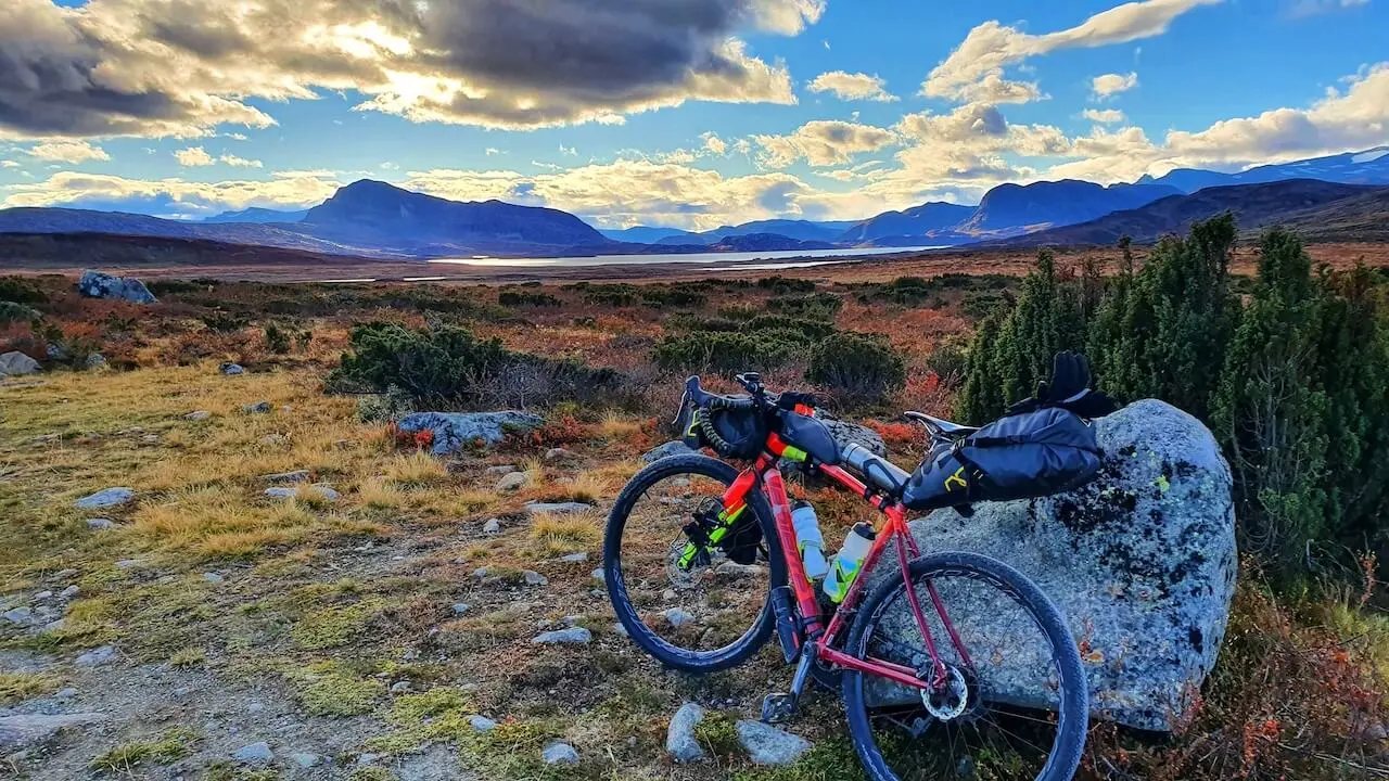
Mjølkevegen
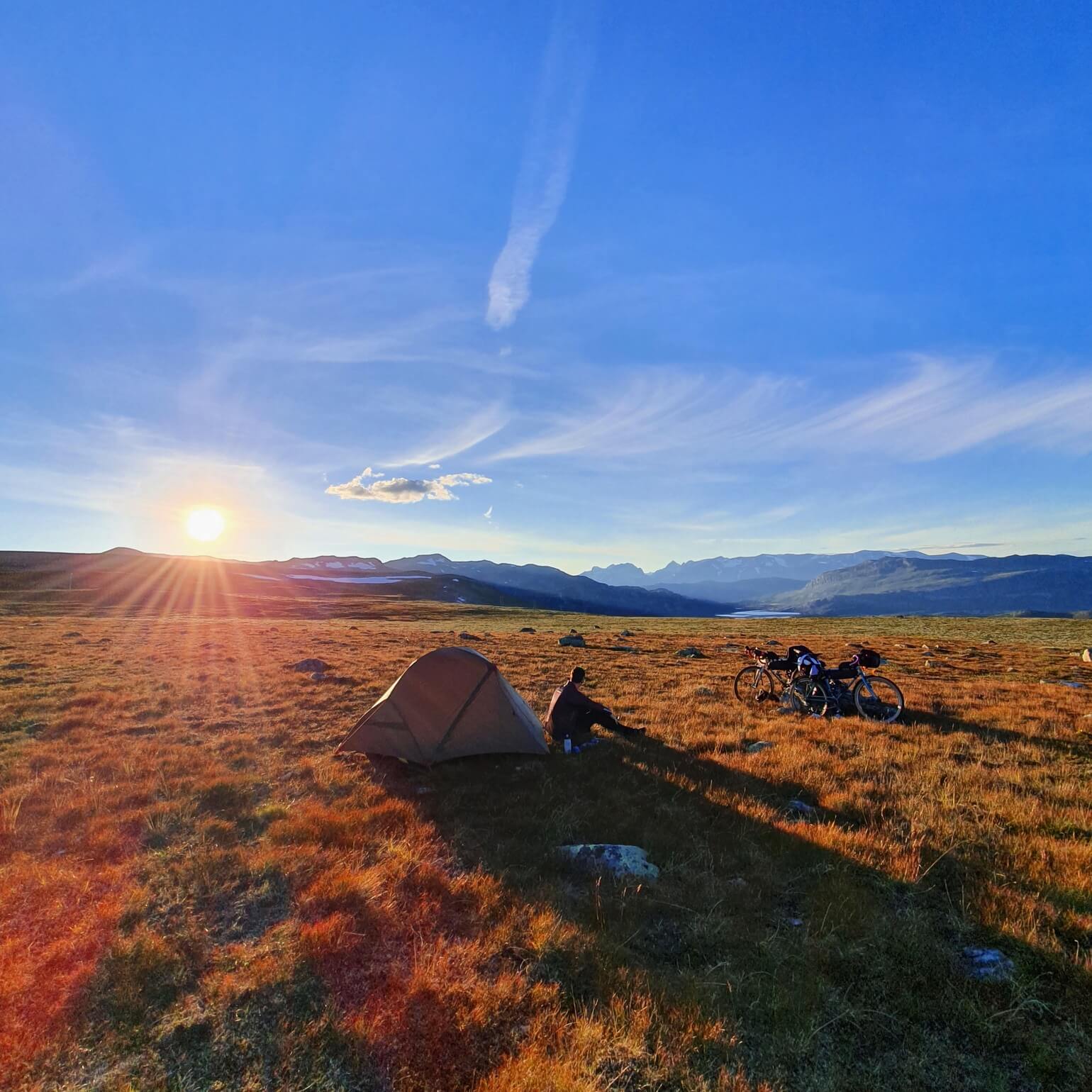
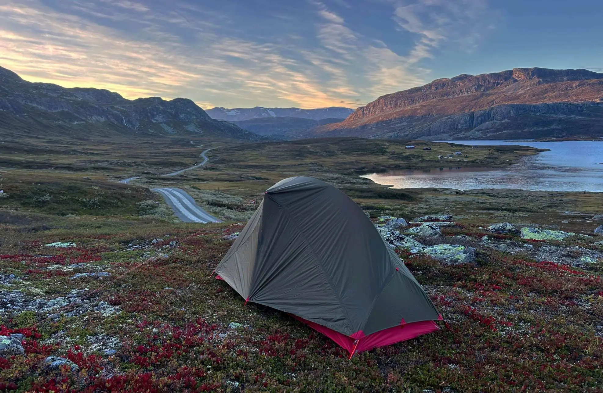
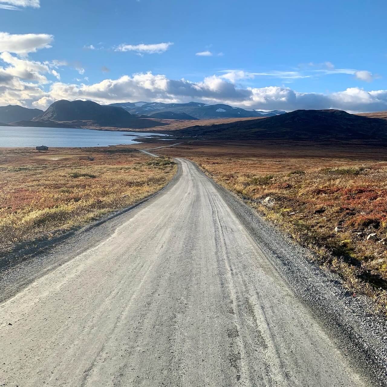
La Mjølkevegen, considérée comme l’un des itinéraires cyclistes les plus pittoresques de Norvège, serpente à travers la beauté sauvage des montagnes et des vallées de Valdres, sur environ 230 kilomètres. Cet itinéraire est un véritable paradis pour les cyclistes : il vous fera découvrir de charmants villages, des plateaux sereins et des fermes traditionnelles où le bétail paît en liberté. La Mjølkevegen n’est pas seulement un régal pour les yeux ; c’est un voyage au cœur de la culture rurale norvégienne, avec de nombreuses chalets et refuges douillets en montagne offrant de la nourriture locale et un endroit pour se reposer.
Réputé pour ses chemins de gravier parfaitement entretenus, cet itinéraire offre un juste équilibre entre difficulté et accessibilité. De plus, les cyclistes ont la liberté d'adapter la longueur de leur parcours, ce qui le rend adaptable à tous les niveaux. Mjølkevegen est sans doute le meilleur itinéraire de bikepacking de Norvège, idéal pour ceux qui ont soif d'aventure en pleine nature tout en recherchant une expérience fluide et sans tracas. Cliquez ci-dessous et découvrez le guide le plus complet sur cet incroyable itinéraire.
La Page de l'histoire complète couvre où commencer, où séjourner, les détours, les alternatives et ce à quoi s'attendre, plus une carte détaillée des points d'intérêt avec tout ce dont vous avez besoin pour planifier.
Carte routière
Quand ?
En 2025, la majeure partie du parcours Mjølkevegen était déneigée entre la mi-mai et la fin mai, mais cela est plus précoce que d'habitude. En général, l'ensemble du parcours est praticable en toute sécurité à partir de mi-juin. Sur les hauts plateaux, la neige, le givre et la glace peuvent revenir dès octobre, la saison de vélo se termine donc généralement vers dernière semaine de septembre.
Y arriver
– Depuis Oslo : À Gol (départ sud) Prends Bergensbanen Train d'Oslo S en direction de Bergen. Gol se trouve à environ 3 heures d'Oslo, avec 4 à 5 départs quotidiens.
– À Vinstra (départ nord) Prends Dovrebanen Train d'Oslo S vers Trondheim. Le voyage dure environ 3 heures 15 minutes, avec 5 à 6 départs quotidiens.
– De Trondheim : À Vinstra : Prends Dovrebanen train vers Oslo. Le temps de trajet est d'environ 4 heures, avec 5 à 6 départs quotidiens.
– De Bergen : À But Prends Bergensbanen train vers Oslo. Le trajet dure environ 3 heures 30 minutes, avec 4 à 5 départs quotidiens.
Astuce : Bien que Gol et Vinstra soient des points de départ pratiques, la ligne de Gol offre une capacité de vélo beaucoup plus importante, ce qui en fait l'option la plus sûre si vous réservez tard pendant la haute saison estivale.
Dangers
Le parcours ne comporte aucun tunnel et emprunte presque exclusivement des routes peu fréquentées. Le seul tronçon un peu plus fréquenté se situe le long de la route 51, près de Beitostølen, où vous pourriez croiser quelques touristes pendant un court moment. À part cela, la Mjølkevegen est l'une des pistes cyclables longue distance les plus sûres de Norvège.
Location de vélos
– Jotunheimen Bike & Hike (Lemonsjø): Vélos électriques et matériel, lieux de retrait non situés sur l'itinéraire.
– La chaîne de montagnes / Le réseau Intersport: Locations de vacances à Beitostølen, Fagernes, Vaset, Tyin-Filefjell, Storefjell/Kamben et Gol. Propose des vélos électriques, des VTT, des remorques et des locations en aller simple.
– Gol et Beitostølen: Meilleures options pour commencer à un bout ou à l'autre; la boutique Gol a une grande capacité.
– Vinstra: Sykkelbua loue des vélos localement, mais pas spécialement adaptés aux parcours de Mjølkevegen.

“ Un week-end de gravier, de cran et de gloire ! ”
Recommandations locales
Slettefjell
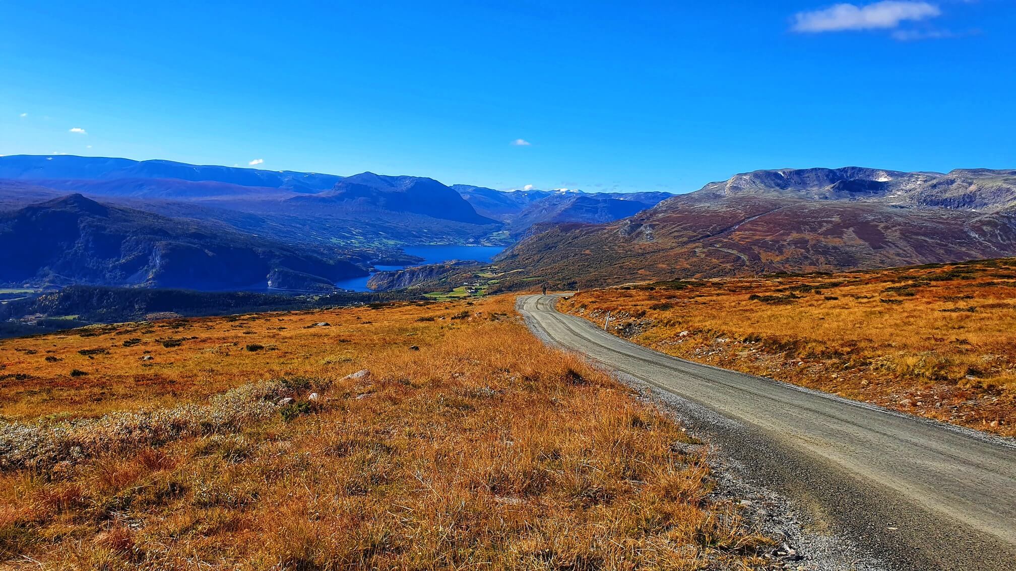
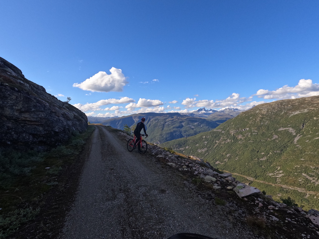
Slettefjell est la montée emblématique de Mjølkevegen et offre l'une des vues les plus belles que l'on puisse admirer à vélo en Norvège. La route serpente abruptement, grimpant sur plus de 1 000 mètres pour atteindre un col de haute montagne. Du sommet, le parc national de Jotunheimen s'étend devant vous, tandis que derrière, la large vallée s'étire vers Filefjell. Rouler du sud au nord rend la montée particulièrement exigeante, avec de longues pentes et des sections exposées qui mettent à l'épreuve les jambes et les poumons.
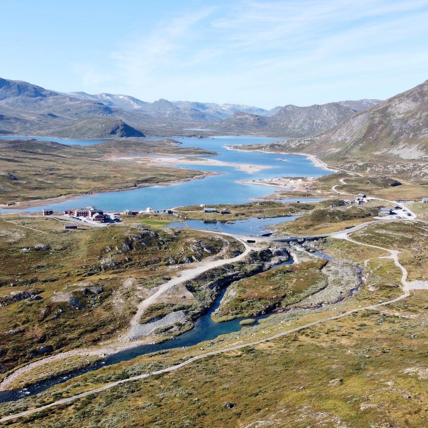
Bygdin Høyfjellshotell
Le Bygdin Høyfjellshotell est situé sur la rive est du lac Bygdin, au pied du Jotunheimen, et accueille les voyageurs de montagne depuis 1897. C'est une étape classique sur la Mjølkevegen, offrant une cuisine locale réconfortante, des chambres confortables et des vues imprenables sur le lac et les sommets. En été, le ferry MB Bitihorn au départ de la jetée, reliant à Torfinnsbu et Eidsbugarden, tandis que les sentiers de randonnée et de vélo partent directement de la porte – en faisant l'un des arrêts de nuit les plus atmosphériques et pratiques de la route.
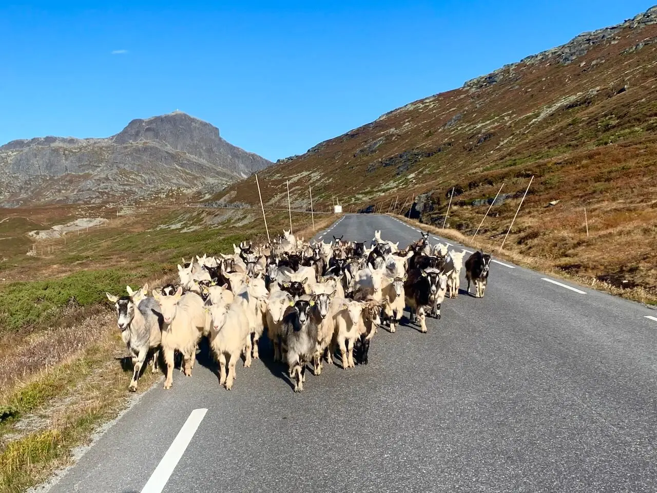
Mjølkevegen Chèvres
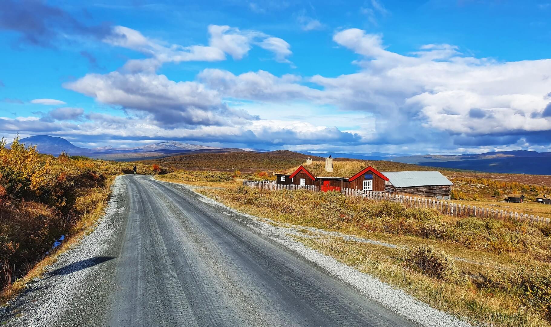
L'un des charmants spectacles que l'on peut admirer le long de la Mjølkevegen, ce sont les chèvres en liberté que l'on croise en train de paître au bord de la route et dans les fermes de montagne. En été, de nombreux agriculteurs continuent de faire monter leurs animaux vers les alpages (seterdrift) ; ne soyez donc pas surpris si un troupeau de chèvres vous barre la route. Elles sont devenues un symbole de la route, rappelant aux cyclistes que la Mjølkevegen n'est pas seulement une question de paysages, mais aussi de culture agricole vivante.
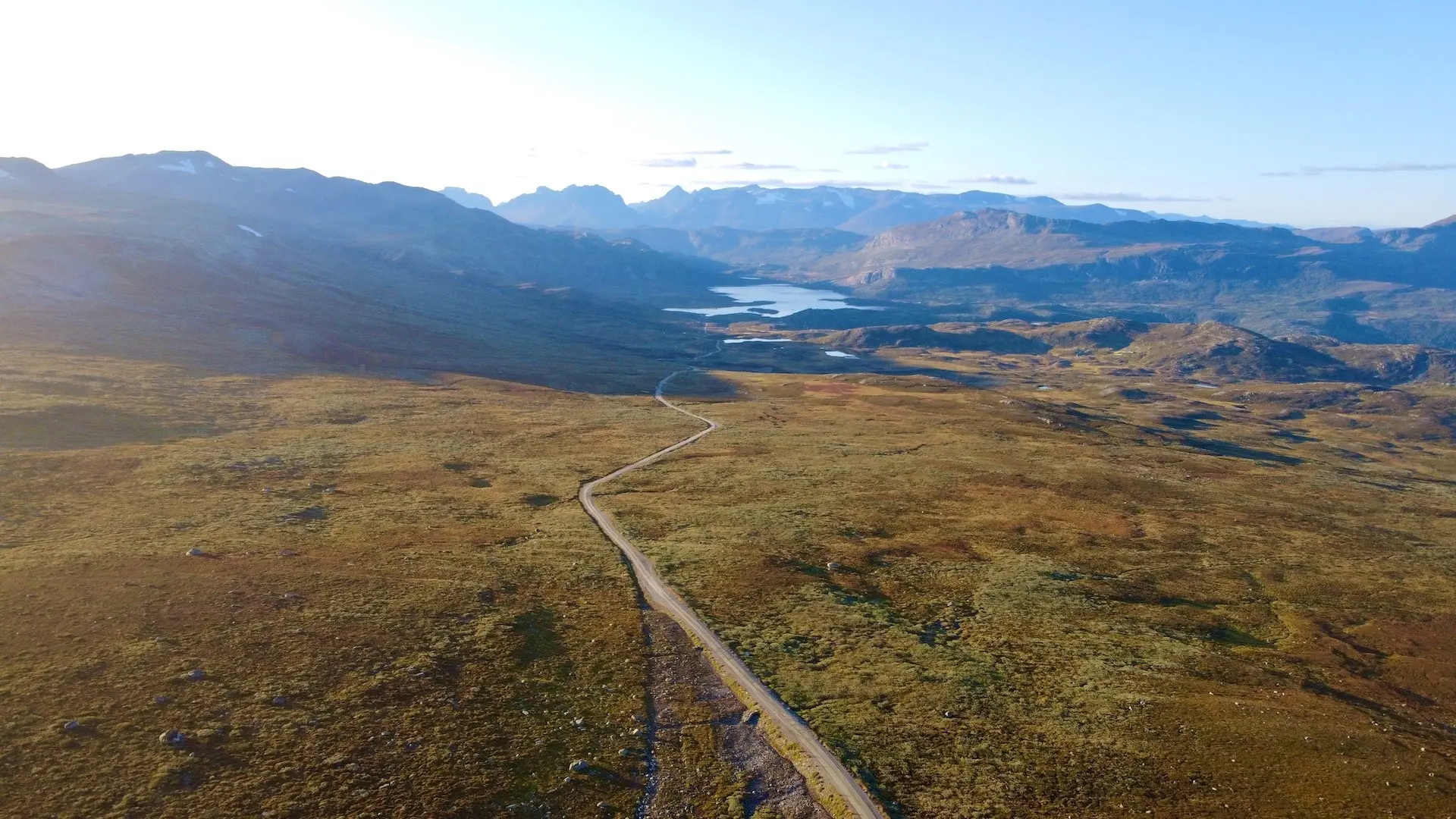
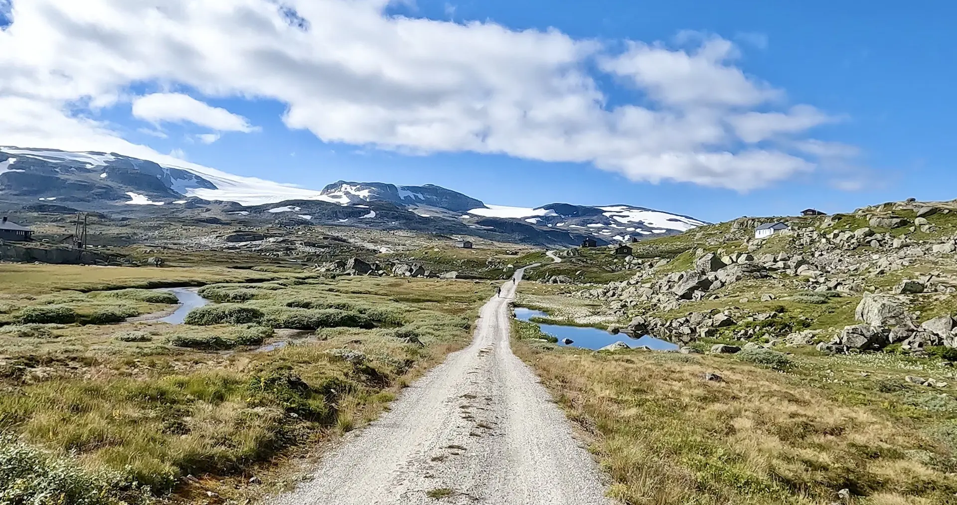
Jotunheimen vegen
La Jotunheimenvegen est une route de gravier de 45 km qui relie Valdresflye à Skåbu, en traversant des plateaux montagneux dégagés et des fermes d'été. Avec peu de circulation et de larges panoramas sur le Jotunheimen, c'est un tronçon emblématique de la Mjølkevegen et l'une des routes de montagne les plus pittoresques de Norvège
Liens utiles
Booking.com – pour les options d'hébergement dans toute la Norvège
Application Entur – pour planifier des trajets en transports en commun en Norvège
Ferry – itinéraires, horaires et informations par Statens Vegvesen
Étiquette du camping sauvage important à savoir
Lectures complémentaires
Garder à l'esprit
Tous les itinéraires cyclables publiés sur CYCLENORWAY.com sont destinés à des fins de planification et d'inspiration, à utiliser parallèlement à vos propres recherches et à votre jugement. Les itinéraires sont créés grâce à des recherches approfondies, mais chaque cycliste a des capacités, des attentes et une tolérance au risque différentes. Certains itinéraires de gravier difficiles peuvent inclure des sections où il faut porter le vélo, des sentiers boueux ou humides, des terrains techniques, des montées abruptes, des descentes ou des zones isolées qui peuvent ne pas convenir à tout le monde. Les logiciels de cartographie d'itinéraires, ainsi que les conditions, peuvent également changer ou contenir des inexactitudes. Le cyclisme en Norvège est généralement très sûr. Néanmoins, si vous choisissez d'emprunter ces itinéraires, vous le faites à vos propres risques. Si vous avez des doutes sur un itinéraire particulier, laissez un commentaire ci-dessous et nous vous conseillerons.


Laisser un commentaire