


2341 km
Distance
16433m
Dénivelé positif
20-40
Jours
30%
Non pavé
9/10
Difficulté
45-60 mm
Types Idéaux
Nord du Soleil
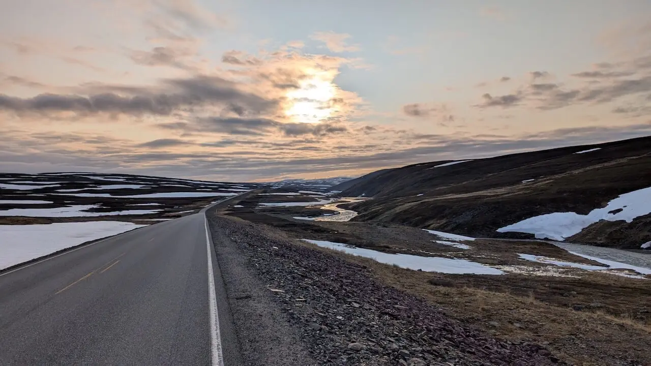
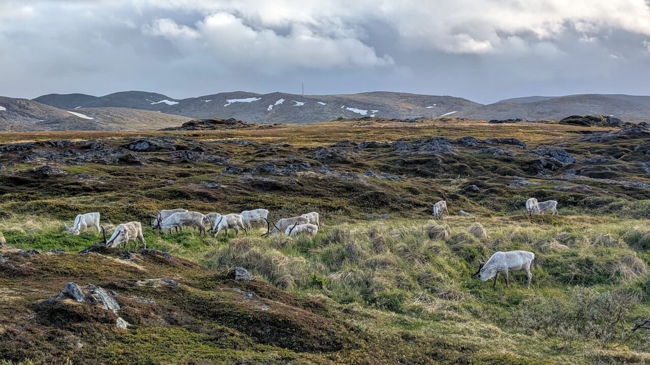
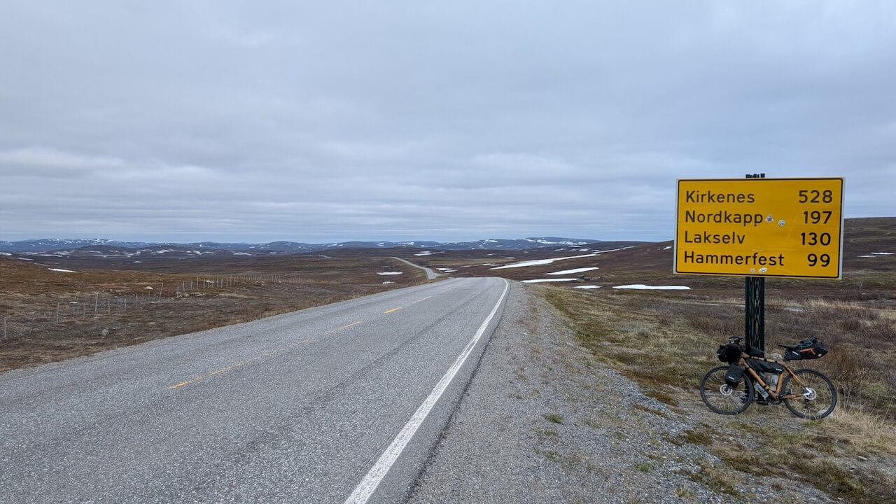
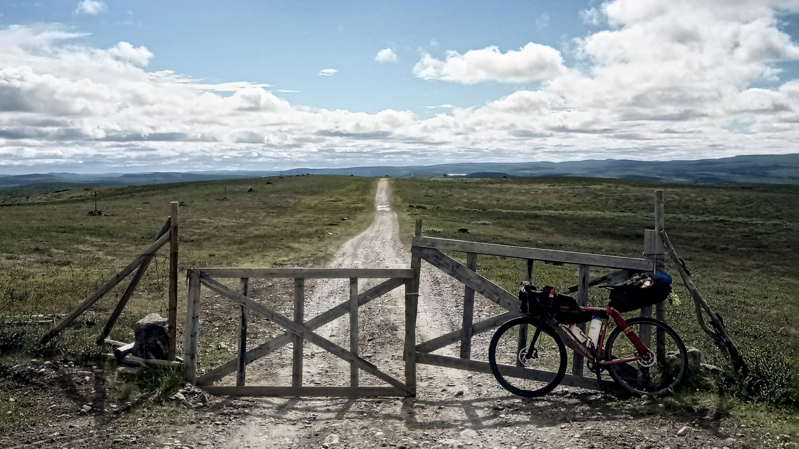
Tous les voyages à vélo ne sont pas censés être fluides, efficaces, ou même logiques. Celui-ci ne l'est certainement pas. S'étendant sur 2 300 km à travers les coins arctiques de la Finlande, de la Norvège et de la Suède, c'est une route pour ceux qui sont attirés par les distances sauvages, par un silence qui bourdonne de présence, et par des paysages qui se fichent que vous soyez prêt ou non. Elle n'est pas conçue pour le confort. Elle est façonnée par la météo, les pistes de rennes, les routes oubliées, et les longues sections où personne ne passe.
J'avais déjà traversé le nord par le passé, mais cette fois, je voulais moins de structure, plus de risques. Je voulais du gravier qui ne mène nulle part pendant des heures, des forêts qui ne finissent jamais et des chemins de portage que la plupart des gens évitent à juste titre. Ce que j'ai obtenu, c'est un voyage qui a ramené les choses à l'essentiel : le mouvement, le temps, l'instinct, l'endurance. L'extrême nord n'essaie pas d'impressionner. Et c'est pourquoi il reste avec vous.
Carte routière
Quand ?
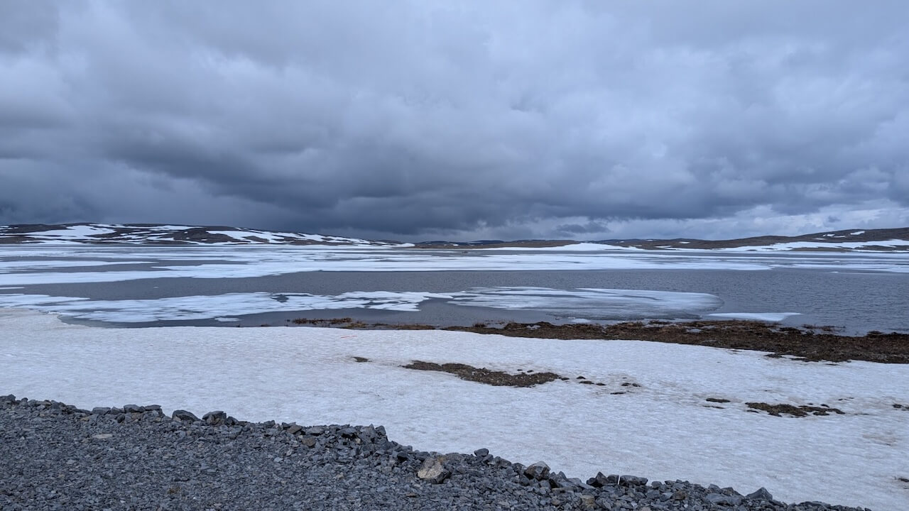
Cet itinéraire n'est praticable que de juin à septembre. La saison des moustiques atteint son paroxysme entre mi-juin et mi-août, faisant de septembre la meilleure option pour ceux qui cherchent à éviter le pire des insectes.
Y arriver
Début – Train (Finlande): Services VR d'Helsinki ou de Turku à Kajaani, avec options de train de nuit vers Kemijärvi, Kolari et Rovaniemi : Infos train VR
– Plusieurs départs quotidiens de/vers Kajaani
– Tous les trains Intercités et de nuit autorisent les vélos (max 8 €)
Fin – Train (Suède)Inlandsbanan de Gällivare à Östersund : Inlandsbanan
– Connectez-vous à Gothenburg, Malmö ou Stockholm via le train de nuit Snälltåget : Snälltåget
Dangers
– Les E6 (Olderfjord–Alta) et E45 (Kautokeino–Enontekiö) peuvent avoir des camions de transport et de ravitaillement roulant à grande vitesse. Roulez tôt le matin ou tard le soir pour les éviter. Des éclairages et une veste haute visibilité sont recommandés même en plein jour.
– Endroit isolé sans réception mobile, nécessitant une autonomie totale. Sections de portage sérieuses exigeant force et endurance.
– Moustiques dans certains endroits pendant le pic de l'été (mi-juin à mi-août)
– Conditions météorologiques imprévisibles, potentiellement extrêmes
Location de vélos
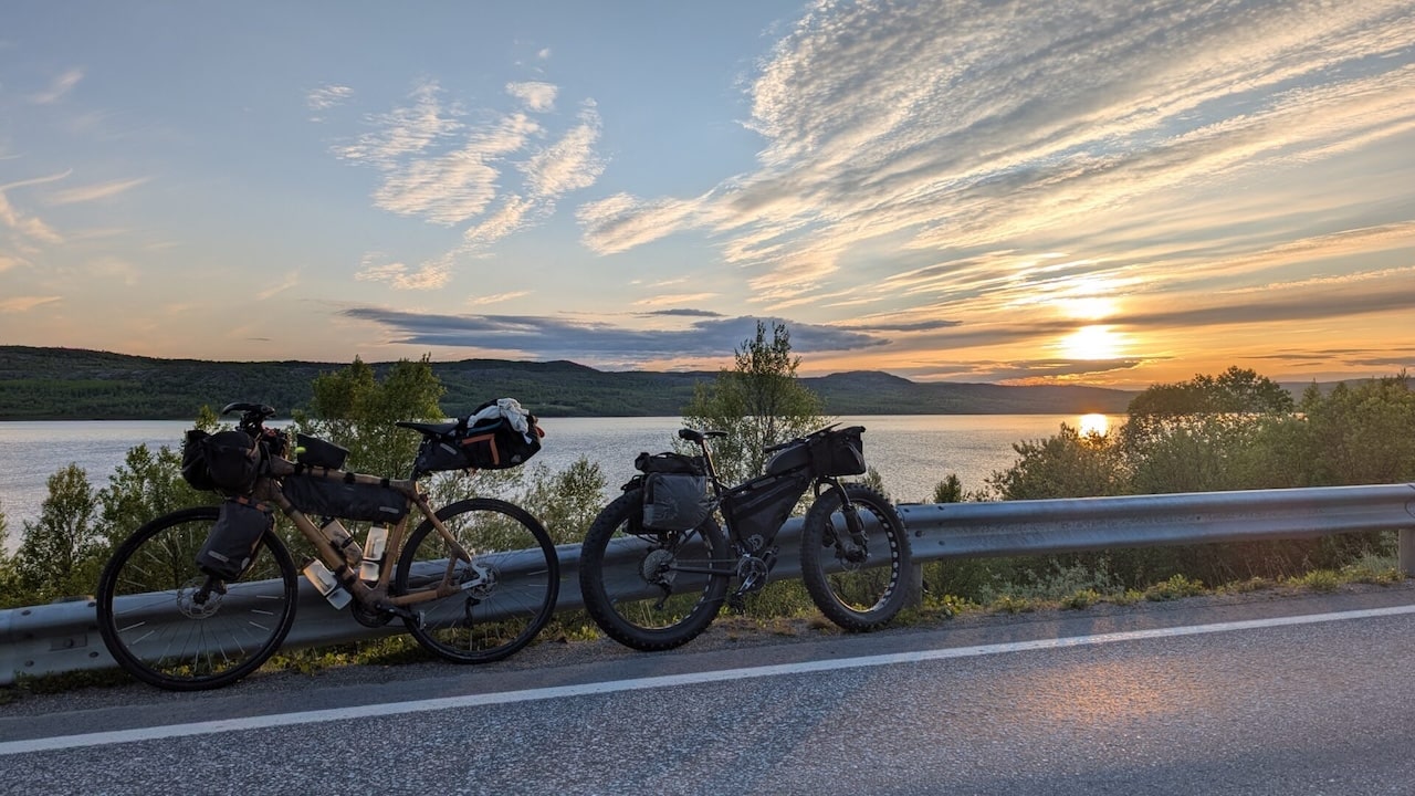
Ce n'est pas un itinéraire pour louer un vélo. Vous devez apporter le vôtre, avec un équipement solide et une machine bien entretenue capable de supporter plusieurs jours de randonnée en solitaire avec un soutien minimal.
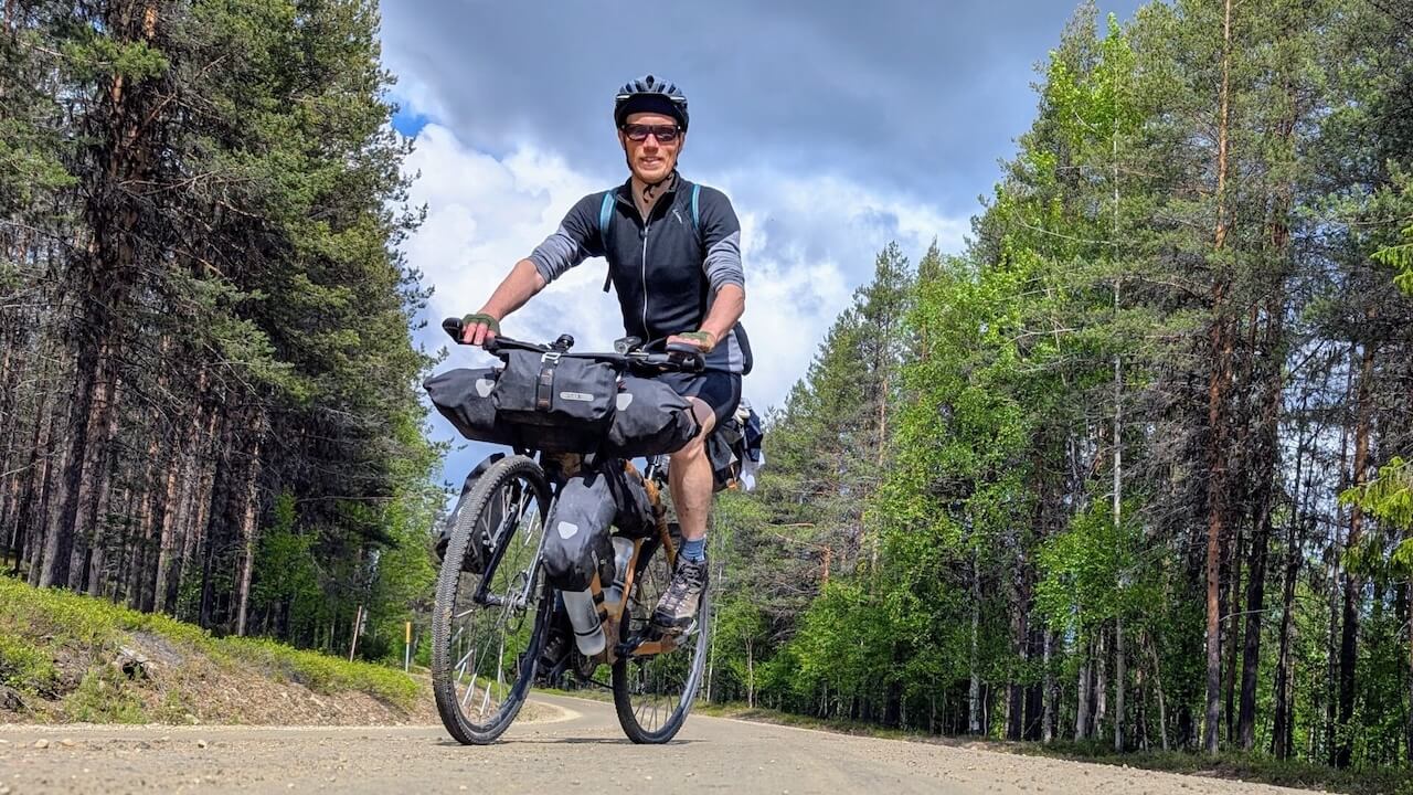
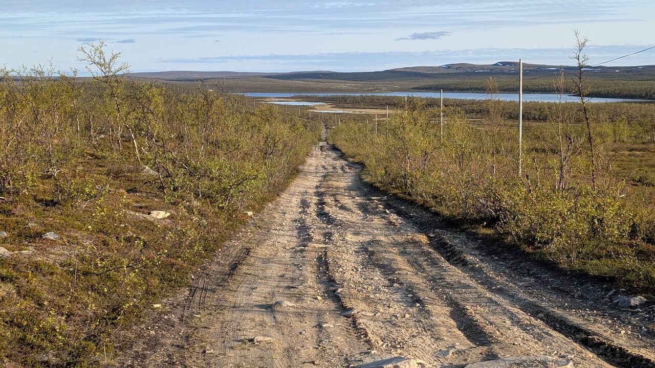
Gros rochers, caillebotis pourris, arbres tombés, côtes raides, marais… L'ennui n'est pas à craindre, et le paysage est magnifique mais c'est super épuisant.
Recommandations locales
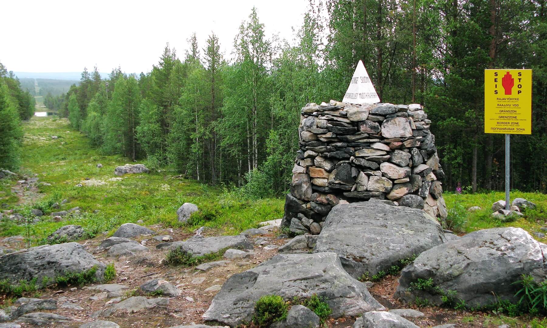
Le Tripoint
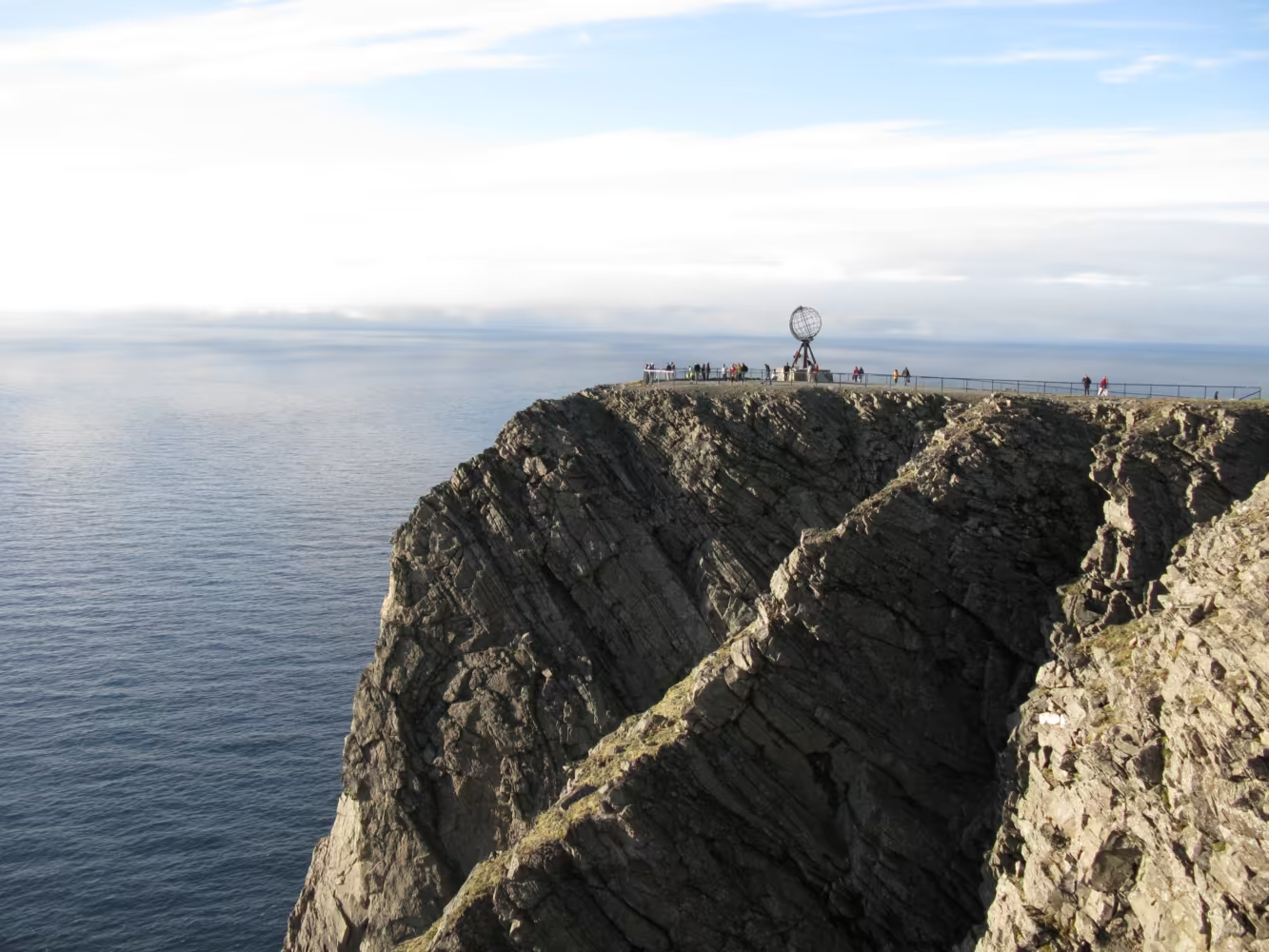
Le Tripoint de la Russie, de la Finlande et de la Norvège est l'un des passages frontaliers les plus reculés et symboliquement chargés d'Europe. Connu localement sous les noms de Treriksrøysa (norvégien), Kolmen valtakunnan rajapyykki (finlandais) et Трёхгранка (russe), c'est là que les territoires de ces trois nations très différentes convergent dans une lande solitaire, tout au nord – profondément dans la nature sauvage de l'Arctique, au-delà de 69°N. Vous pouvez vous rendre au tripoint en randonnée depuis le côté finlandais, en poussant votre vélo sur une grande partie des 15 km.
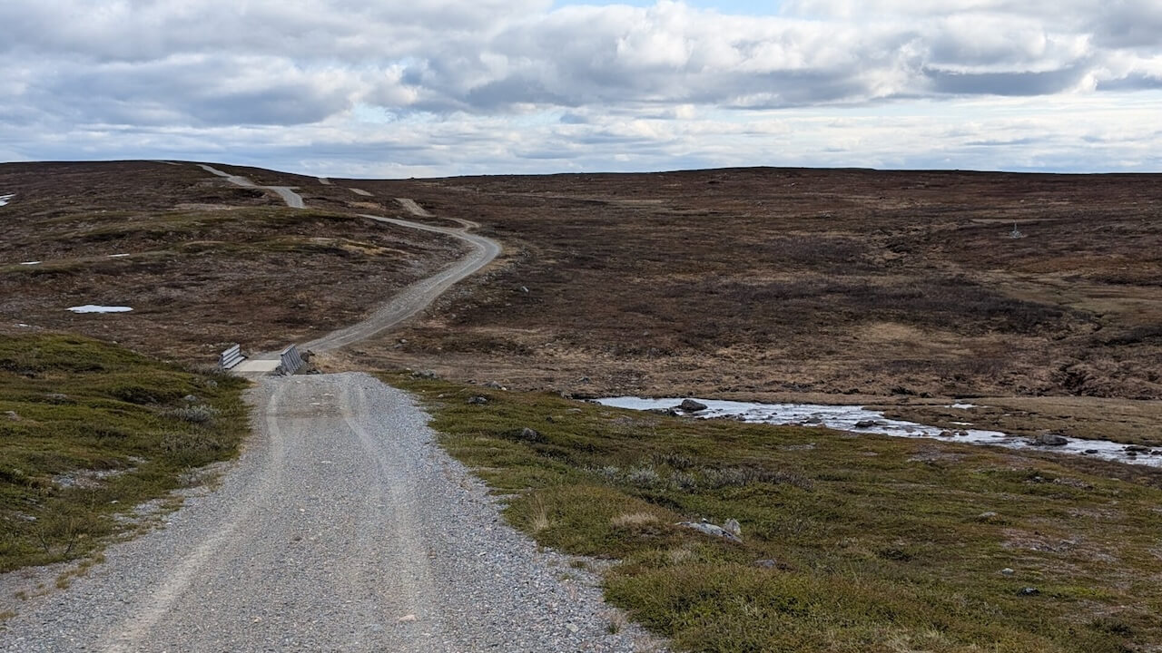
La route du courrier arctique
La Route du Poste Arctique est un ancien et peu connu itinéraire historique dans l'extrême nord de la Norvège et de la Finlande, autrefois utilisé pour transporter le courrier et les marchandises entre les colonies et par-delà les frontières. Elle date d'avant les autoroutes modernes et existe aujourd'hui sous la forme d'une combinaison de routes de gravier, de pistes accidentées et d'une mémoire qui s'estompe – l'un des derniers vestiges de la communication préindustrielle dans l'Arctique. Elle offre une expérience de bikepacking unique à ceux qui cherchent à sortir des sentiers battus, combinant la nature sauvage reculée, l'histoire culturelle et une touche d'intrigue géopolitique.
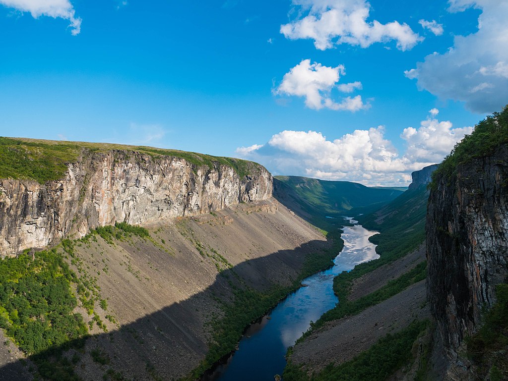
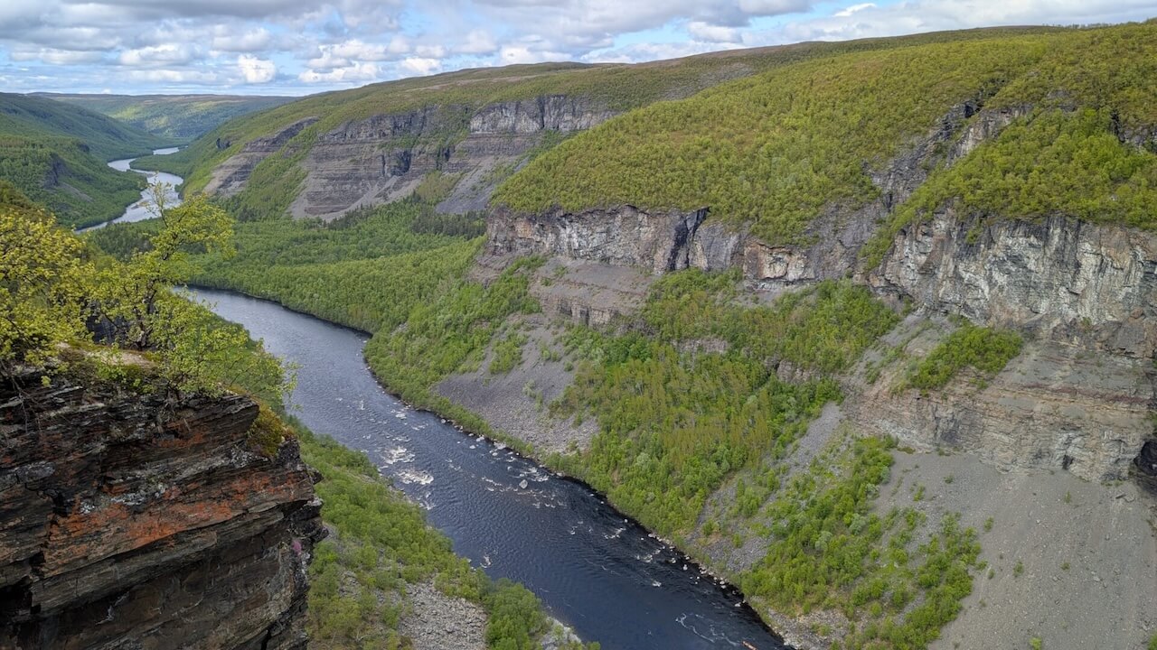
Canyon Alta
Le Sautso, également connu sous le nom de canyon d'Alta, s'étend sur environ 12 km de long et plonge entre 300 et 420 mètres de profondeur le long de la rivière Alta, traversant le plateau Finnmarksvidda jusqu'au fjord d'Alta. C'est le plus grand canyon d'Europe du Nord, une merveille géologique sculptée entièrement par la puissante rivière Altaelva au fil des millénaires. La randonnée standard en autonomie se déroule près de Gargia (laissez votre vélo ici), pour un parcours retour d'environ 13 km, d'une durée de 3 à 4 heures, majoritairement plat à travers la toundra, avec seulement une courte descente abrupte pour atteindre le bord.
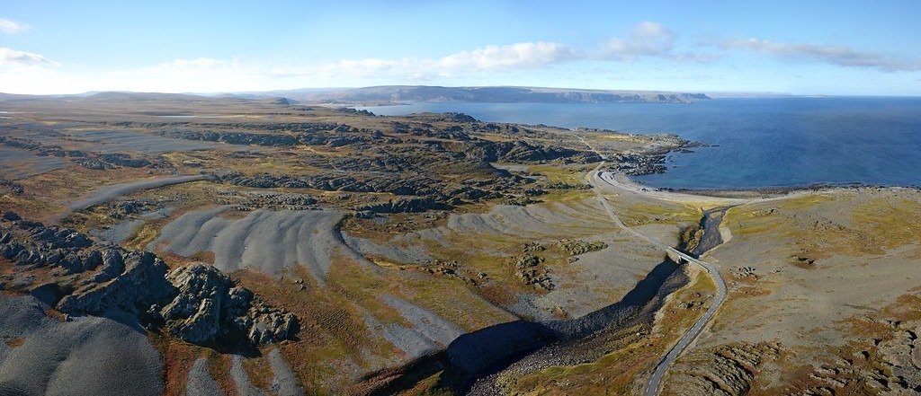
Ifjordfjellet
Ifjordfjellet est un col de montagne isolé et balayé par le vent (40 km) dans l'est du Finnmark, en Norvège, entre les localités d'Ifjord sur la côte et Tana bru à l'intérieur des terres. Du point de vue d'un cycliste, c'est l'une des traversées de montagne les plus exposées, spectaculaires et sous-estimées du pays, surtout pour ceux qui privilégient la solitude, le temps rude et le terrain élémentaire aux lieux touristiques.
Liens utiles
Booking.com – pour les options d'hébergement dans toute la Norvège
Application Entur – pour planifier des trajets en transports en commun en Norvège
Ferry – itinéraires, horaires et informations par Statens Vegvesen
Étiquette du camping sauvage important à savoir
Lectures complémentaires
Garder à l'esprit
Tous les itinéraires cyclables publiés sur CYCLENORWAY.com sont destinés à des fins de planification et d'inspiration, à utiliser parallèlement à vos propres recherches et à votre jugement. Les itinéraires sont créés grâce à des recherches approfondies, mais chaque cycliste a des capacités, des attentes et une tolérance au risque différentes. Certains itinéraires de gravier difficiles peuvent inclure des sections où il faut porter le vélo, des sentiers boueux ou humides, des terrains techniques, des montées abruptes, des descentes ou des zones isolées qui peuvent ne pas convenir à tout le monde. Les logiciels de cartographie d'itinéraires, ainsi que les conditions, peuvent également changer ou contenir des inexactitudes. Le cyclisme en Norvège est généralement très sûr. Néanmoins, si vous choisissez d'emprunter ces itinéraires, vous le faites à vos propres risques. Si vous avez des doutes sur un itinéraire particulier, laissez un commentaire ci-dessous et nous vous conseillerons.

Laisser un commentaire