


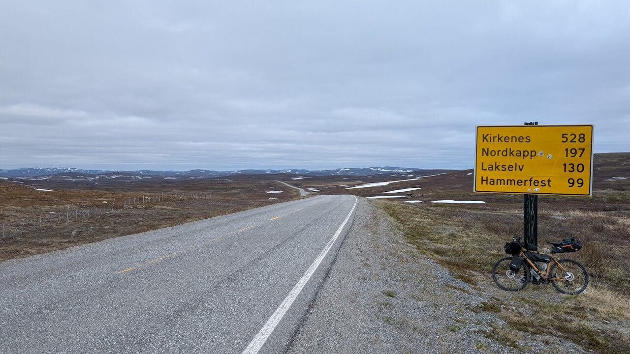
2341km
Distance
16433m
Elev. Gain
20-40
Days
30%
Unpaved
9/10
Difficulty
45-60mm
Ideal Types
North of the Sun
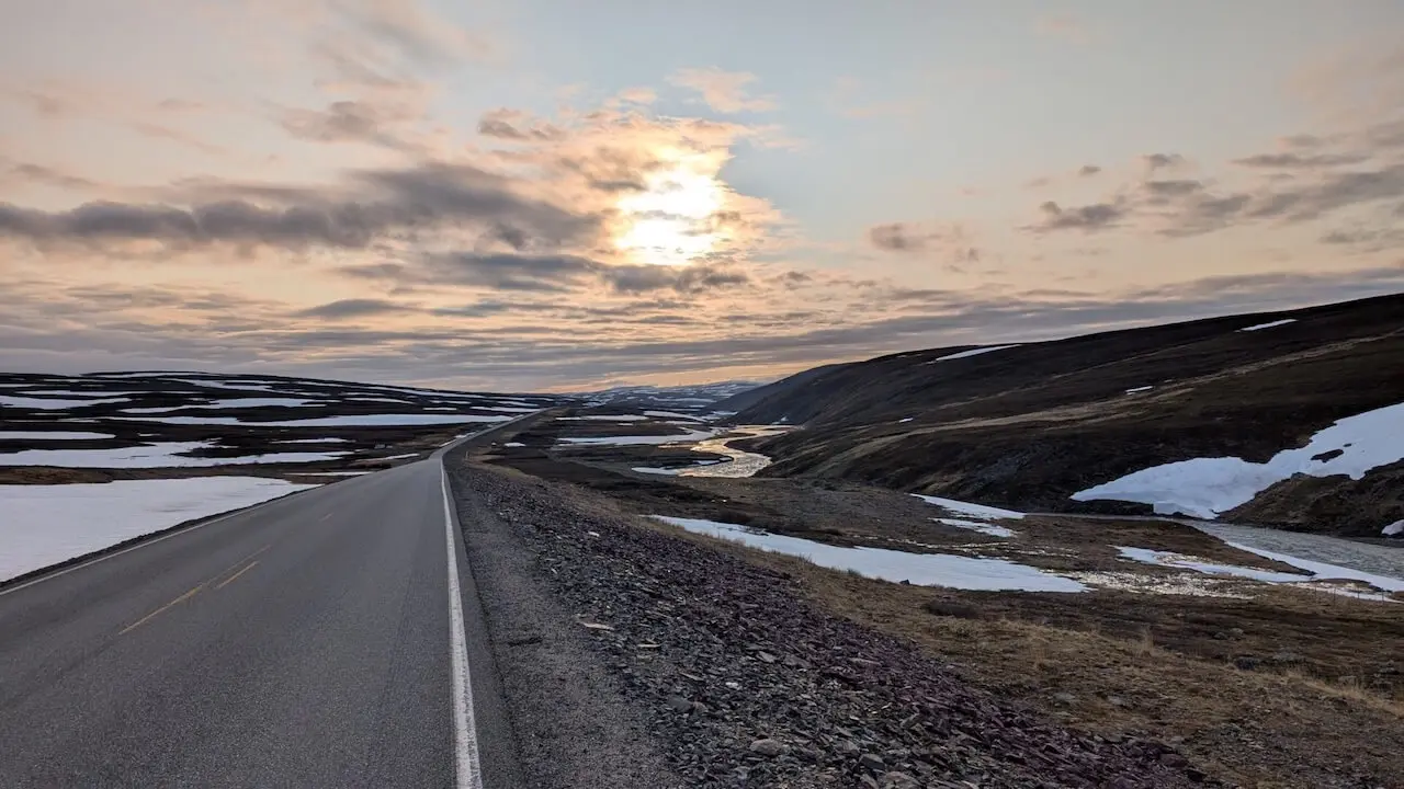
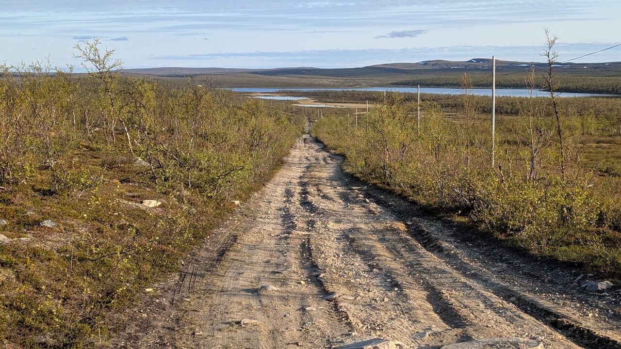
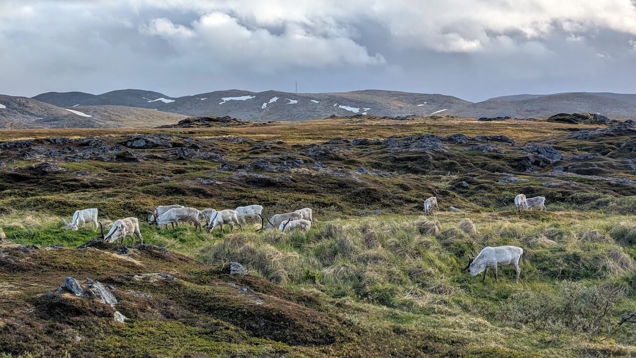
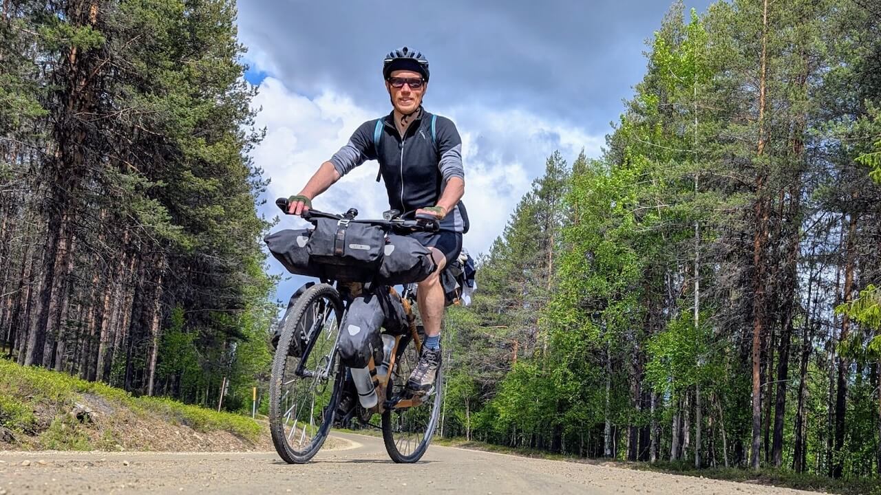
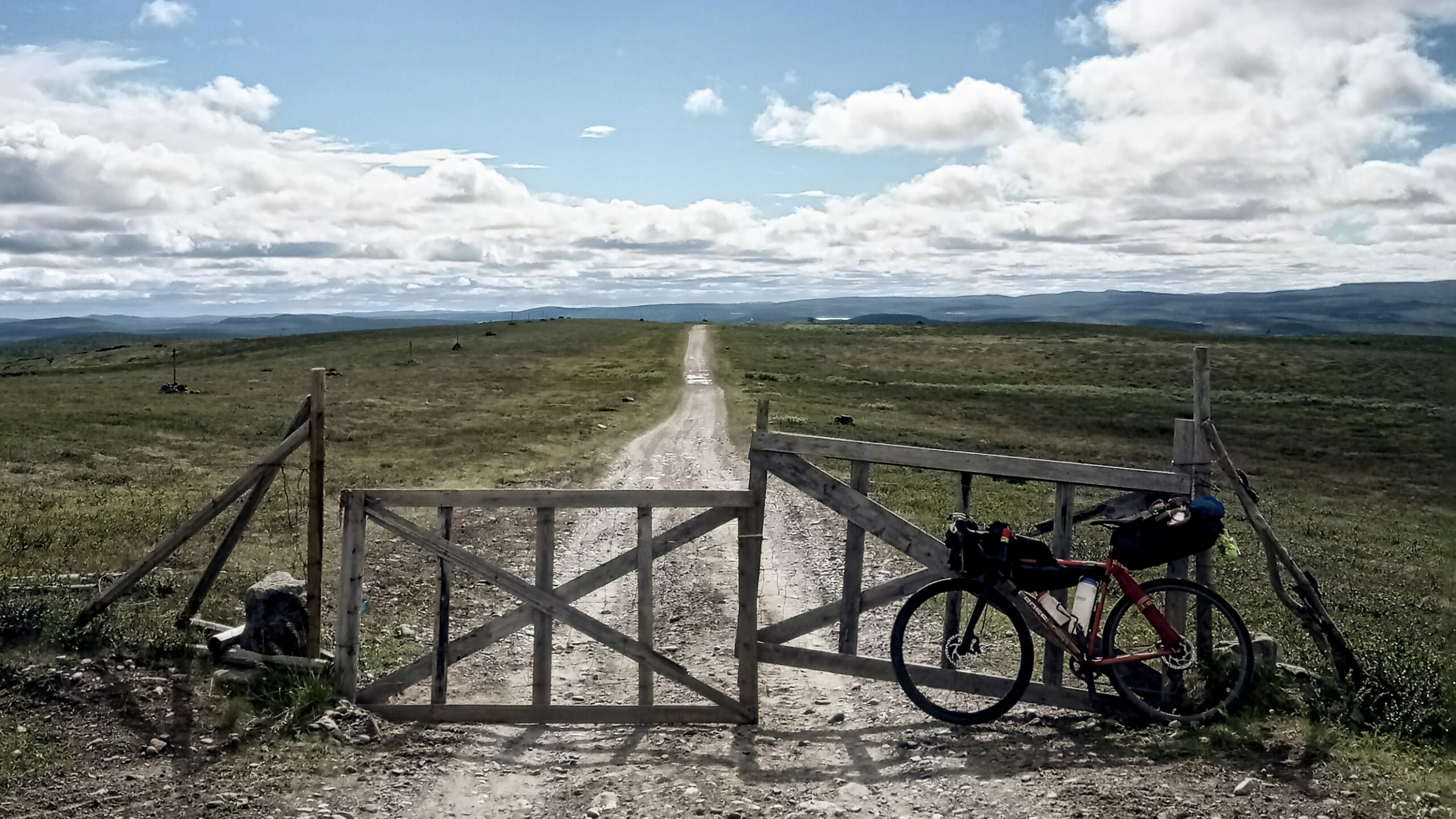
Not all cycling journeys are meant to be smooth, efficient, or even logical. This one certainly isn’t. Stretching over 2,300 km through the Arctic corners of Finland, Norway, and Sweden, this is a route for those drawn to wild distances, to silence that hums with presence, and to landscapes that don’t care whether you’re ready or not. It’s not curated for comfort. It’s shaped by weather, reindeer trails, forgotten roads, and long sections where no one passes by.
I’d ridden through the north before—but this time, I wanted less structure, more risk. I wanted gravel that goes nowhere for hours, forests that don’t end, and hike-a-bike trails that most people sensibly avoid. What I got was a journey that stripped things back to the essentials: movement, weather, instinct, endurance. The far north doesn’t try to impress. And that’s why it stays with you.
Route map
When?
This route is only rideable from June to September. Mosquito season peaks between mid-June and mid-August, making September the best option for those looking to avoid the worst of the bugs.
Getting there
Start – Train (Finland): VR services from Helsinki or Turku to Kajaani, with night train options to Kemijärvi, Kolari, and Rovaniemi: VR train info
– Several daily departures from/to Kajaani
– All Intercity and night trains allow bikes (max €8)
End – Train (Sweden): Inlandsbanan from Gällivare to Östersund: Inlandsbanan
– Connect to Gothenburg, Malmö or Stockholm via Snälltåget night train: Snälltåget
Hazards
– E6 (Olderfjord–Alta) and E45 (Kautokeino–Enontekiö) can have traffic and supply trucks travelling at speed. Ride early or late to avoid them. Lights and a high-vis jacket are recommended even in daylight.
– Remote location with no mobile reception requires being fully self-reliant. Serious Hike-a-Bike sections that require strength and stamina.
– Mosquitoes in some locations during peak summer (mid-June to mid-August)
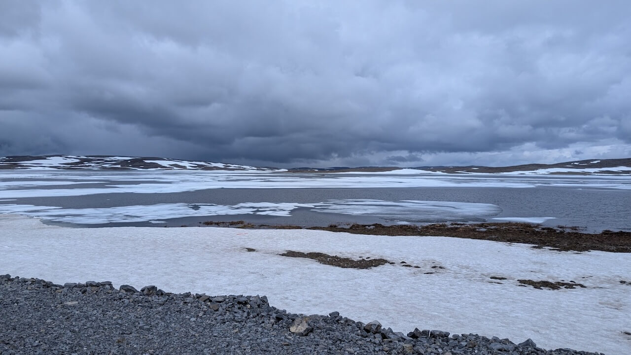
– Unpredictable, possibly extreme weather conditions
Bike rental
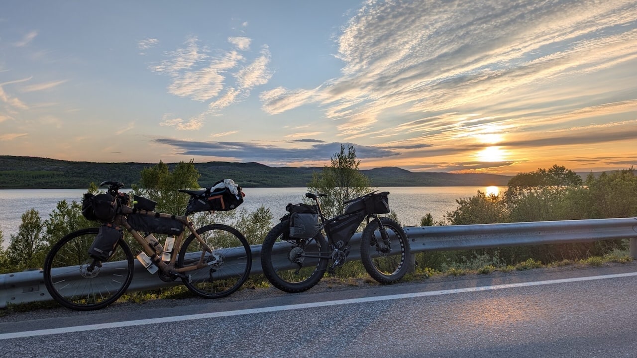
This is not a route for renting a bike. You need to bring your own, with a solid setup and a well-maintained rig capable of handling several days of remote riding with minimal support.
Big rocks, rotten duckboards, fallen trees, steep climbs, swamps … It won’t get boring, and the scenary is beautiful but it’s super exhausting.
Local recommendations
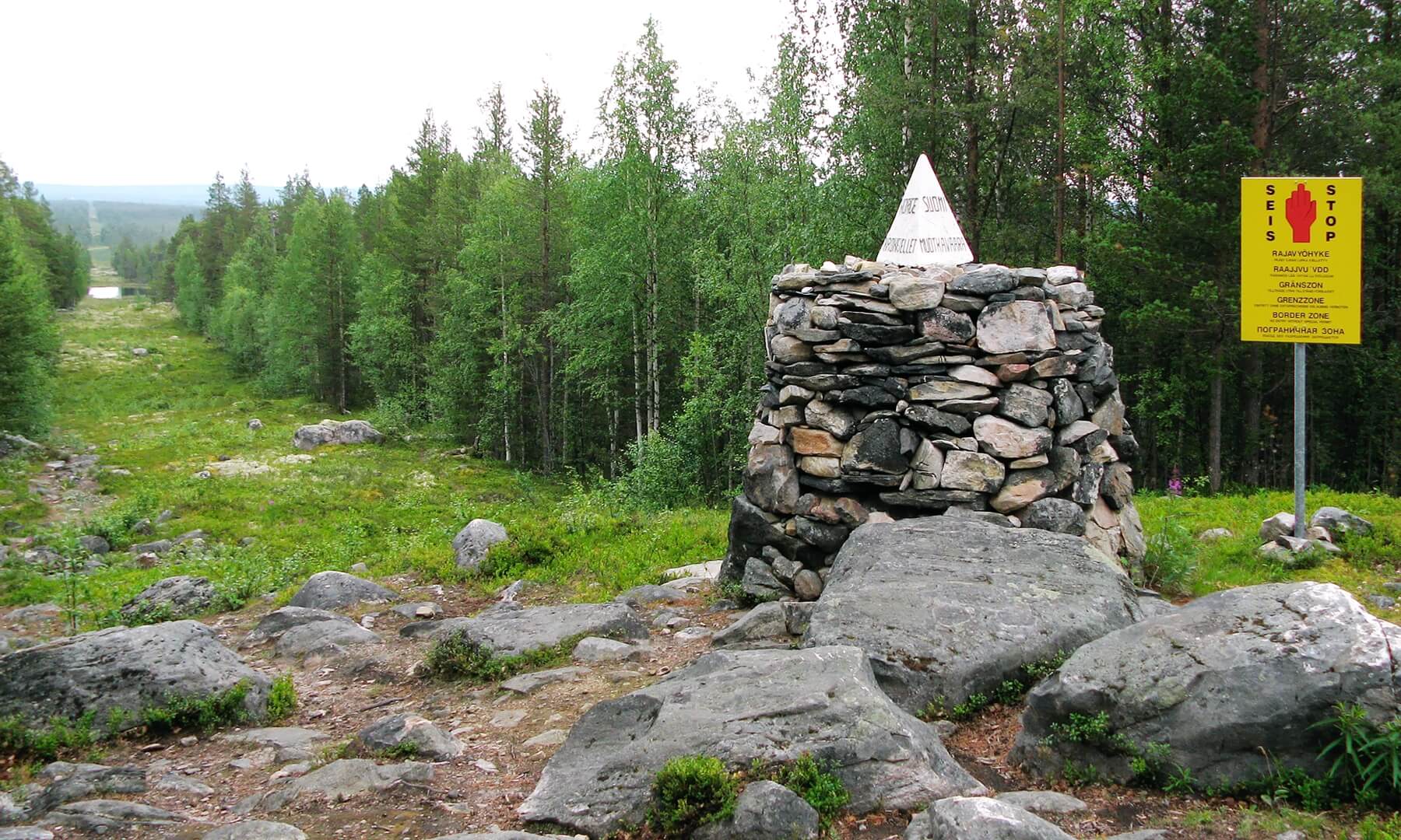
The Tripoint
The Tripoint of Russia, Finland, and Norway is one of the most remote and symbolically charged border crossings in Europe. Known locally as Treriksrøysa (Norwegian), Kolmen valtakunnan rajapyykki (Finnish), and Трёхгранка (Russian), it’s where the territories of these three very different nations converge in a lonely bogland in the far north—deep in the Arctic wilderness, above 69°N. You can hike to the tripoint from the Finnish side, pushing your bike for large parts of the 15km.
The Arctic Post Road
The Arctic Post Road is an old and little-known historical route in the far north of Norway and Finland, once used for transporting mail and goods between settlements and across borders. It predates modern highways and exists today as a combination of gravel roads, rough tracks, and fading memory—one of the last remnants of pre-industrial communication in the Arctic. It offers a unique bikepacking experience for those looking to get off the beaten path, combining remote wilderness, cultural history, and a touch of geopolitical intrigue.
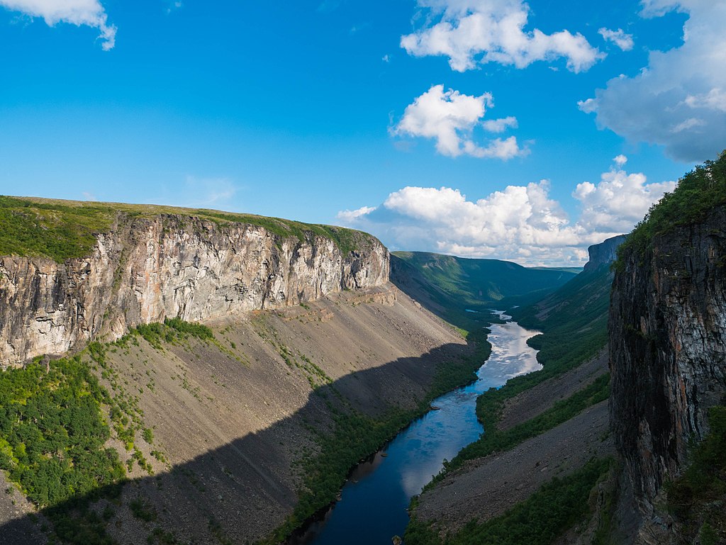
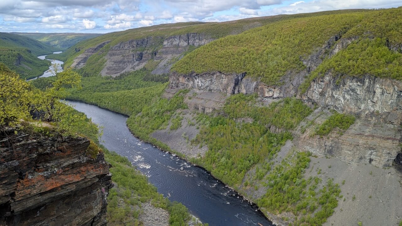
Alta Canyon
Sautso, also known as Alta Canyon, stretches about 12 km long and plunges between 300 to 420 meters deep along the Alta River, cutting through the Finnmarksvidda plateau into Alta fjord. It’s Northern Europe’s largest canyon, a geological wonder carved entirely by the powerful Altaelva river over millennia. The standard self‑guided hike runs from near Gargia (leave your bike here), roughly 13 km return hike, taking 3–4 hours, mostly flat through tundra, with only a short, steep descent to reach the rim.
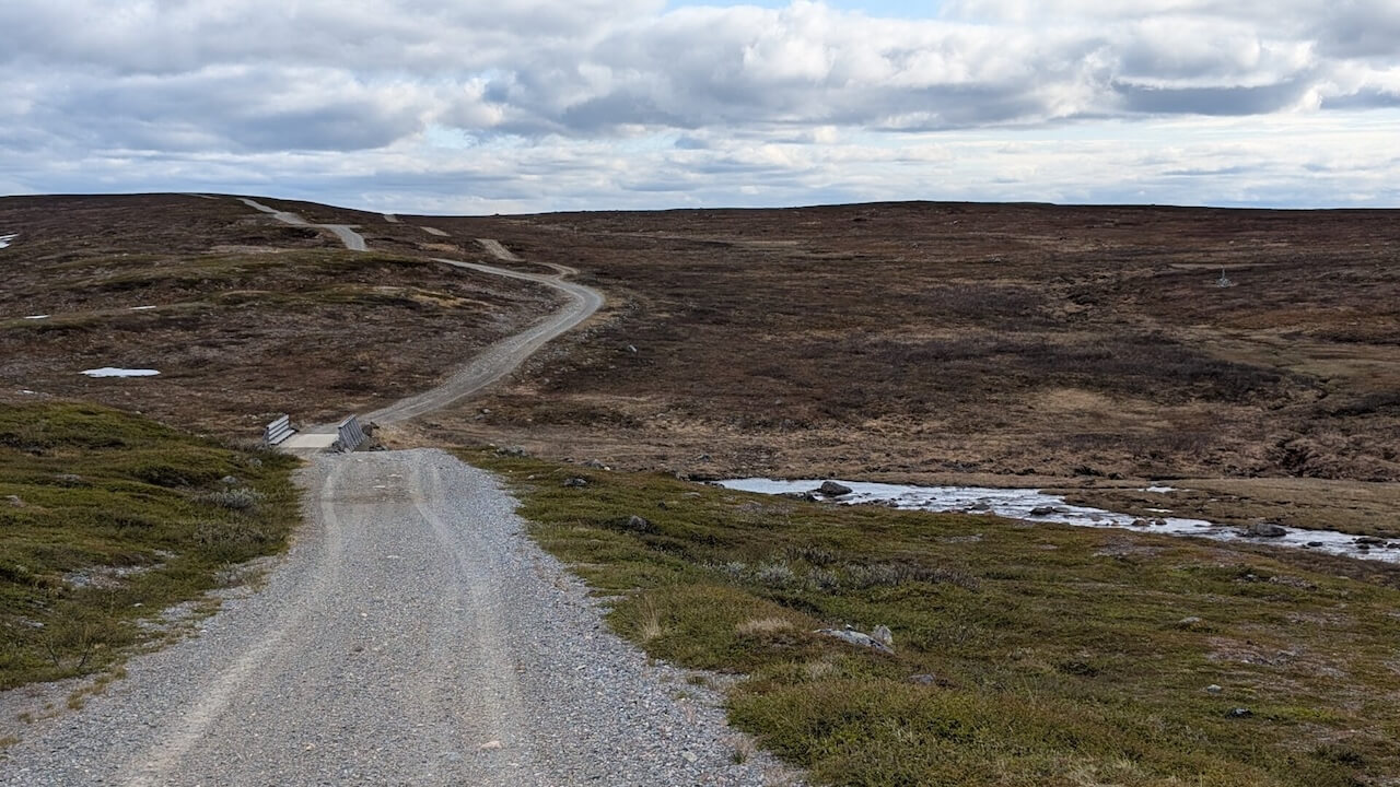
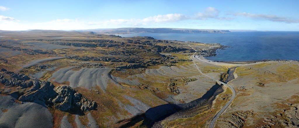
Ifjordfjellet
Ifjordfjellet is a remote, wind-scoured mountain pass (40km) in eastern Finnmark, Norway, between the settlements of Ifjordon the coast and Tana bru in the interior. From a cyclist’s point of view, it’s one of the most exposed, dramatic, and underrated mountain crossings in the entire country, especially for those who value solitude, raw weather, and elemental terrain over tourist hotspots.
Useful links
Booking.com – for accommodation options across Norway
Entur app – for planning public transport trips around Norway
Ferries – routes, timetables and information by Statens Vegvesen
Wild camping etiquette – important to know
Further Reading
Keep in mind
All cycling routes published on CYCLENORWAY.com are intended as planning resources and sources of inspiration to be used alongside your own research and judgement. Routes are created using careful research, but every cyclist has different abilities, expectations, and risk tolerance. Some challenging gravel routes may include hike-a-bike sections, muddy or wet hiking paths, technical terrain, steep climbs, descents, or remote areas that may not be suitable for everyone. Route mapping software, and conditions can also change or contain inaccuracies. Cycling in Norway is generally very safe. Nevertheless, if you choose to ride these routes, you do so at your own risk. If you are unsure about a certain route leave a comment below and we’ll advise you.

Leave a Reply