The Wilderness Route

National Cycle Route 9
The part of Norway kept out of sight from the tourist brochures. No fjords, glaciers, or instagrammable places. Just the birds, squirrels, and moose to keep you company through Norway’s vast eastern forests.

When

May - September

Written by

Bjørn Gjevik

Distance

791km

Days

6-13

High point

912m

Difficulty

5/10

Unpaved

30%

Total Ascent

6092

Ferries

Tunnels

The Undiscovered Norway

Known as the wilderness route, this is certainly a part of Norway that few people get to experience. Ride from Halden in the South East of Norway near the Swedish border all the way to the historical city of Trondheim. The route is a dream for those who love to explore remote nature. Along the route, there are many shelters and cabins that are free and open for anyone to use. Some are part of the route, others require a small detour, but if you prefer to pitch a tent or sleep under the stars there is no shortage of great places to wild camp.


You will find that the route follows compacted gravel and paved roads with very little traffic – sometimes you will not see a car for hours. With only the sound of your own breath, the tires rolling over gravel and the wind whispering through the trees – this is bikepacking at its finest.

Map

The route is not only an epic experience of wilderness and nature but also a historical journey through this part of Norway. You will come across the remnants of where lakes and rivers were used to harvest timber and float logs to the cities near the coast. In the same forests, you will see marked hiking trails that were once used by those fleeing to Sweden during the war. 


Further north you will find the forests grow thinner and gives way to the mountains. Here lies the town of Røros. A world heritage site built on centuries of copper mining. It is well worth spending at least one day here, and for those who want to explore the many gravel routes and abandoned mining settlements in the region, Røros is a great base camp for further adventure.


You may spend days without meeting anyone and the silence in these forests is palpable. A number of campfires, simple rest areas, and free-to-use huts have also been created at several of the lakes along the route.


The photos may give the impression that the route is mainly gravel. This is not completely the case. Around 150km is on gravel which is concentrated mainly in the middle section. The southern and Northern parts are on paved but very quiet roads. You have options to do some detours into Sweden or at least get a photo on the border.

Gallery

Those who are going to cycle the route should be aware that there can be a long way between service offers such as grocery stores, accommodation, and catering, this particularly applies to the northern half. Mosquitoes are present from late June to mid-August, especially around lakes.


Half the route is signposted and pretty easy to follow. The route is hilly in places but the gradient rarely goes over 5% making it manageable for lesser experienced cyclists. However, we recommend you have a bike touring/bikepacking experience as this is a remote route with limited support or help if things go wrong. Be organized and this will be an epic route to ride.


Photos and information also contributed by Ian Luck


Difficulty of route

We have given this a rating of 5/10. It’s long and remote but has no long, steep inclines. The road conditions are good and the traffic very low. But gravel rides in the forest are never straightforward. Expect to work hard as you gradually climb for short and long periods.

Lillehammer Half Version

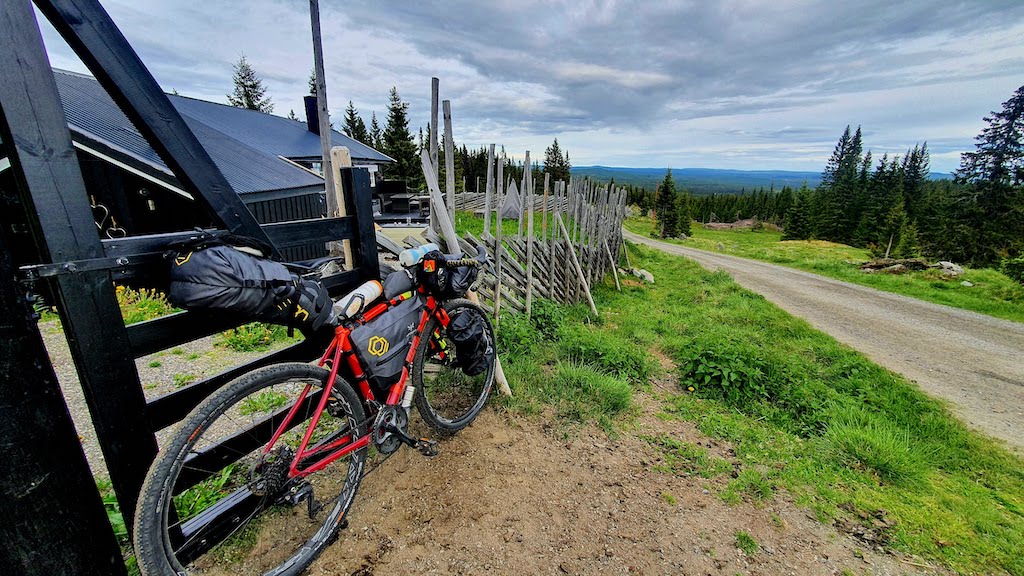
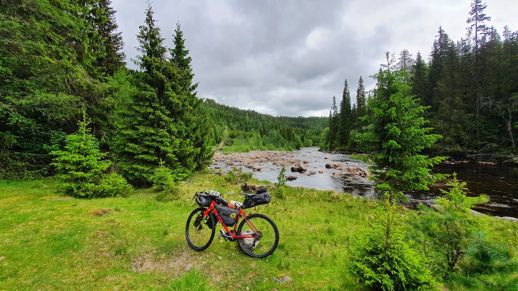
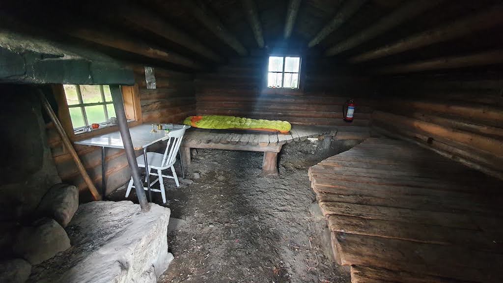
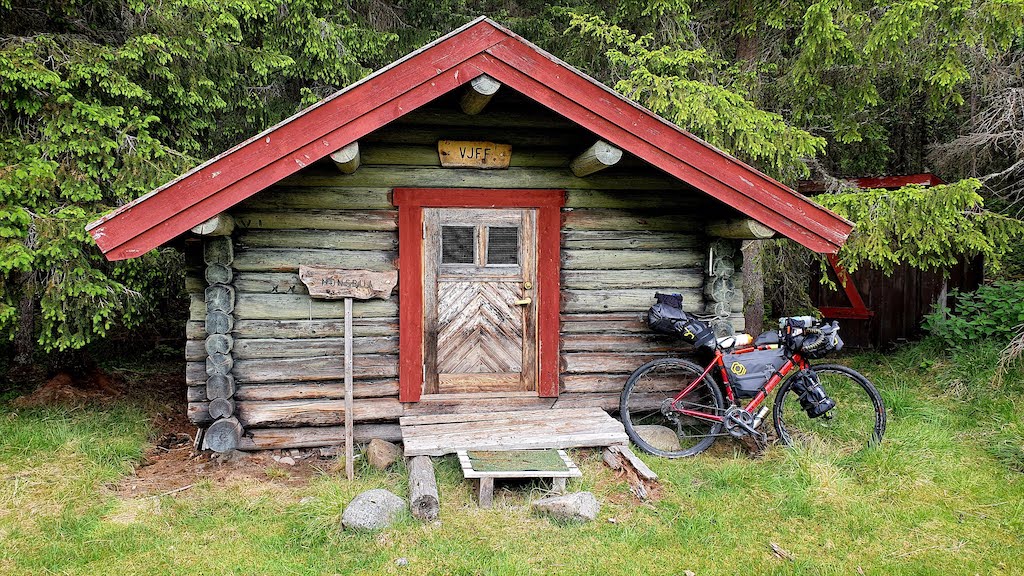
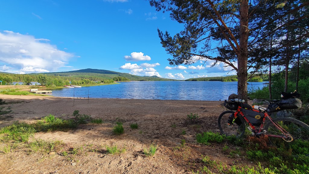
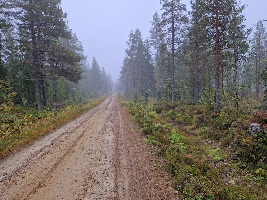
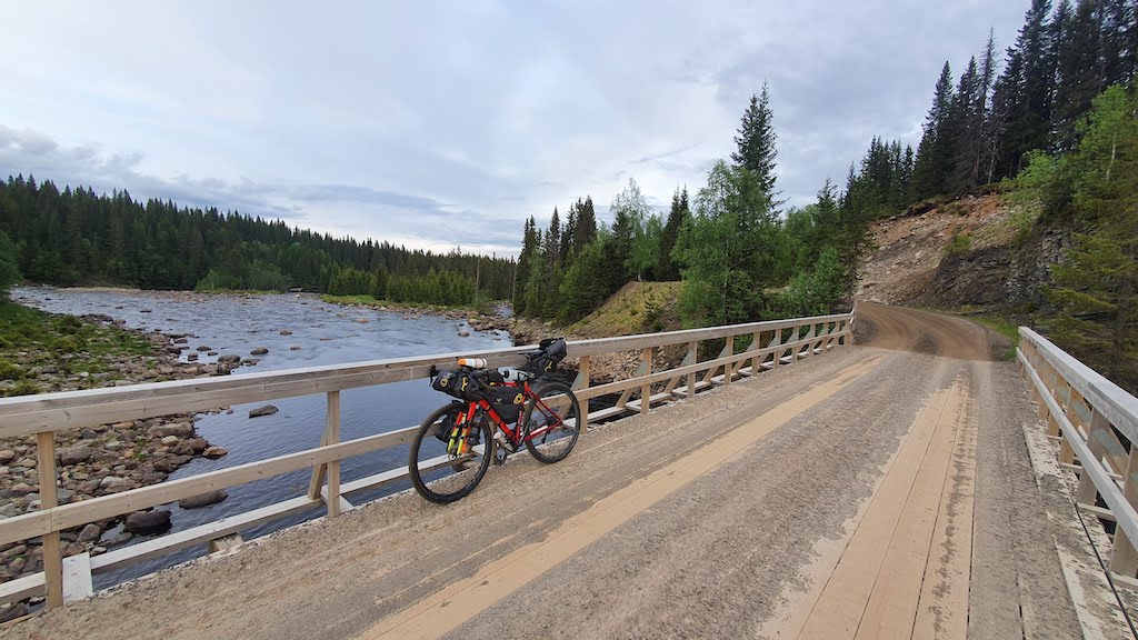
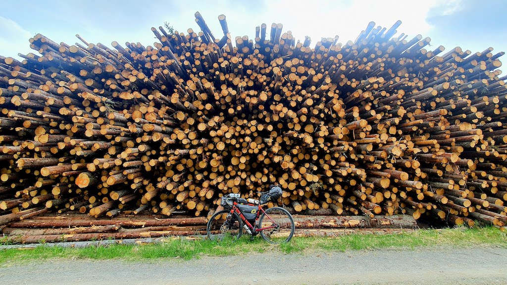
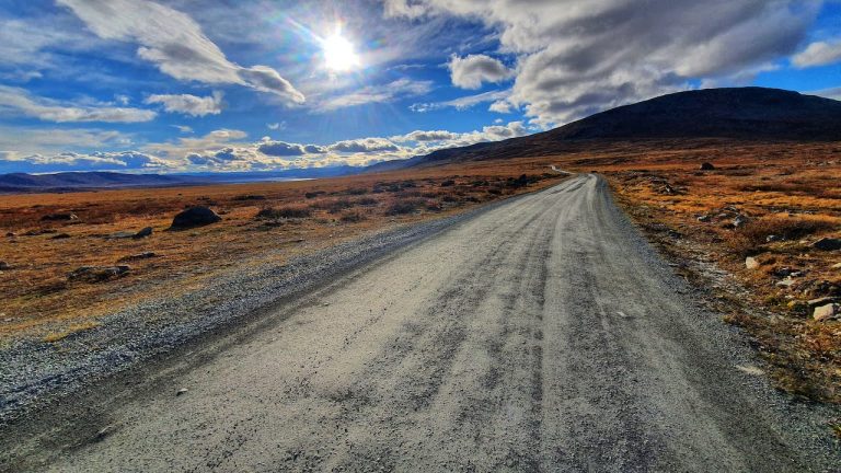
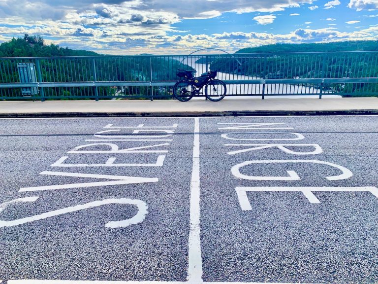
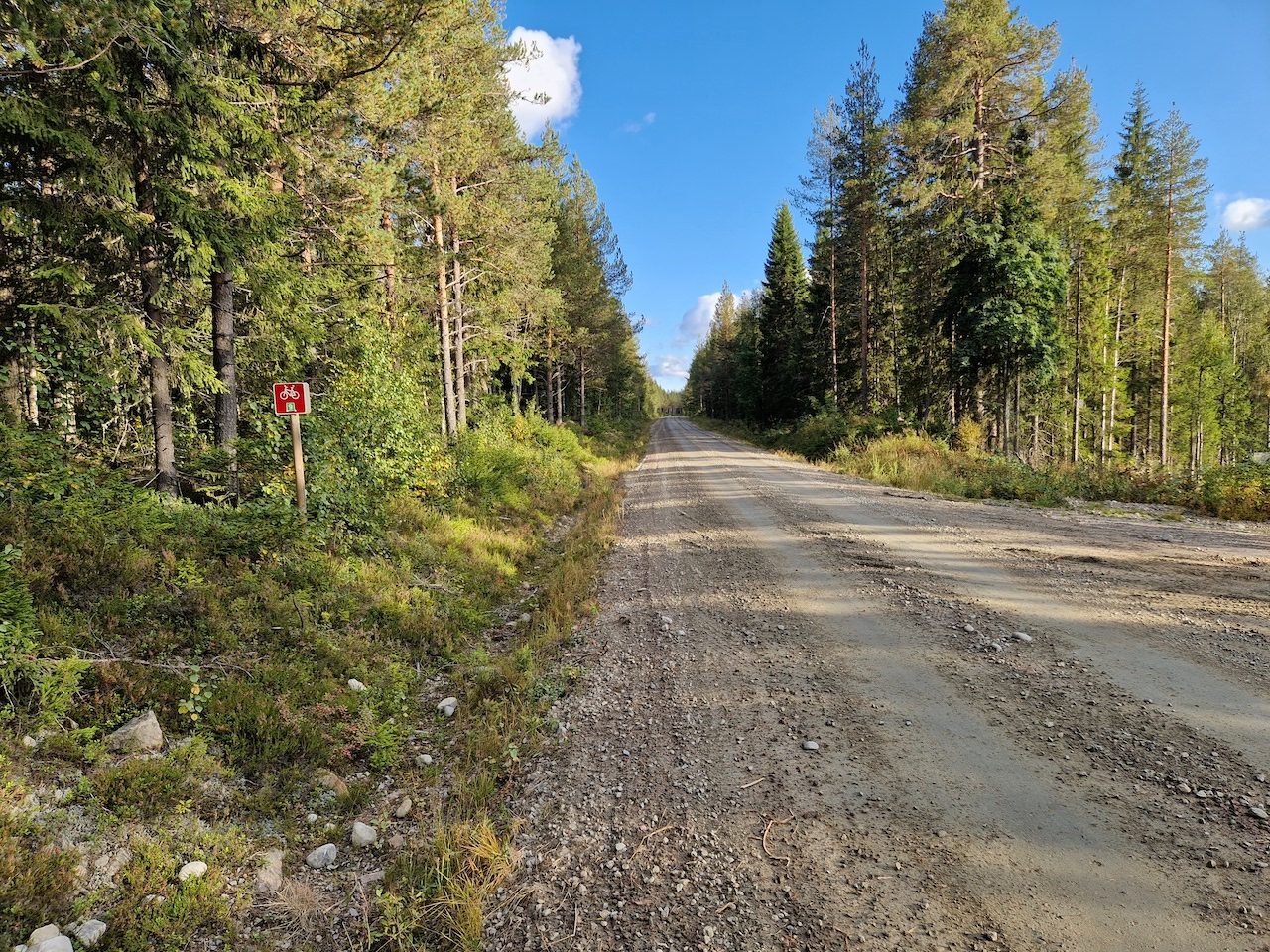
Starting from Oslo, this 450km route is a great half version ending in the town of Lillehammer, where there are train connections. This is around 80% gravel with some difficult sections towards Lillehammer (might need to hike a bike for short periods).

POI's Map

The route is remote, and you must be organised in places to ensure you have enough food. Use this map to plan resupplies and accommodation options.

Highlights

  • Fredriksten fortress – The border walls built 400 years ago.
  • Halden Canal – Over 150 years of history with a zipline installation 
  • The 150km of remote gravel sections through nordic forests and lakes
  • The free huts and shelters along the route
  • The Peace Statue, at the border between Norway-Sweden, Morokulien (short detour)
  • Trysil – Norway’s largest ski resort and summer park
  • The mining town of Røros
  • Trondheim – the trendy laidback town with great culinary experiences.

Must know

  • Getting Here and Away: You can take a train to Halden from Oslo or Gothenburg in Sweden and start there. Trondheim has an international airport and several trains a day from Oslo. It is also connected to Røros and Bodø by train and Kristiansund by express ferry.
  • When to go: May to September is the ideal time. There may be some snow on the gravel section in early May. Riding the route in May or September ensures you miss the main mosquito season (mid-June to mid-August).
  • Food & Supplies: There are some remote stretches of this route and thus knowing where to refuel is important. You will find small supermarkets/gas stations in villages and towns that you pass. Expect 60-80km between supermarkets in some areas and most will be closed on Sunday. Best to carry extra food as a precaution.
  • Water: It should be very easy to find water along the route. There are countless lakes and small rivers to pass by.  You may want to filter lake water. Fast-following streams & rivers should be safe to drink in uncultivated areas.
  • Bike Type: A gravel, mountain, or touring bike with at least 32mm tires. Ideally, 35-50mm is best suited for this route. A good amount of gears will help with the uneven gravel sections.
  • E-Bike: There will be long distances between charging points. Recommend two batteries and if you avoid the maximum battery setting the trip should go without a problem.
  • Public Toilets: You will be limited to the few towns that you pass. You should expect to use nature’s toilet in the forest. Follow the rules and leave no trace.
  • Moose and wild animals: The forests are teeming with life and it’s not uncommon to see moose. I have had on two occasions moose run out in front of me while cycling. Be vigilant when cycling in low light.
  • Expect mosquitoes to be active between mid-June and mid-August. Bring repellant. In addition, Be aware that ticks are present, especially in densely overgrown areas of the forest. Always check your skin after camping.
  • September is moose hunting season. Shelters may be occupied and ensure you follow any safety signs related to the hunting season.

Accommodation

  • Wildcamping: You will find this route is made for wild camping and should be very easy to find beautiful places by lakes and open forest areas. If the weather is unsettled or you prefer not to bring a tent find a free shelter to use. A waterproof bivy can be a good option on this route.
  • Campsites & Cabin: There are enough campsites scattered close to this route but many will require short detours. Check the Norcamp for more details. The exception is the long remote gravel section which will require wild camping. This whole area of Norway is a lot less touristy. You may find campsite signs and instructions only in Norwegian as few international tourists visit this area. However, you should find booking a cabin at a campsite at short notice easier to do.
  • Hotels and Hostels: Short detours will be required to reach some accommodation venues. Here are some examples, Rømskog Spa and hotel (detour), Hotel Magnor bad (detour), Finnskogen kro and motel at Svullrua, and at Gravberget gård (detour –  approved as Cyclist-Friendly). You will find plenty of accommodation in the larger towns of Røros and Trysil. Staying only in hotels is difficult to do if you plan to cycle the whole journey.
  • Airbnb: There are options in populated areas.
  • DNT cabin: Lebiko is an unattended cabin (no electricity or water) that is very idyllically located in the forest right by the Swedish border, 142 km from Halden. Lebiko is an old farm area inhabited until the 70s. The cabin is only a few hundred meters from the cycle route. You will require to be a member of DNT and have a key to access the cabin. It costs around 200kr per night per person for a member. Booking can be done here

Video

Transport

In general, there will be limited public transport access on this route. You should be self-sufficient in places. It is recommended to carry extra inner tubes and spare parts.

  • Ferries: There are none on this route
  • Trains: With the exception of Halden, the Oslo – Gothenburg line is not close to the southern part of the route. There is also a train line from Hamar – Røros – Trondheim. It will require a significant detour to reach most stations. You connect with the line at Røros but it soon disappears following road 30 to Trondheim.
  • Buses:


Safety

Tunnels

There are no tunnels on this route, except for one abandoned tunnel, which is now only used for bikes and pedestrians. It has no lights inside but it’s easy to navigate and not pitch black.


Busy Roads

There are no busy roads on this route. As you get close to Trondheim you find cycle paths and lanes separating you from the traffic.


The Weather

Southern Lowlands: The low forest areas have in general a drier and warmer climate than other areas of Norway. However, it can get cold at night. I always recommend you have some warm clothing for unsettled days and cool nights.

Northern Highlands: Heading north expect the weather and climate to change. It becomes highly unpredictable up here and I have experienced all sorts of conditions. Do not underestimate how cold it can get above 800m. I would bring gloves for the northern part of this route (just in case). If you camp high up expect that night temperatures can be very cold. Ideally, your sleeping bag should handle zero Celsius for comfort level.

Further Reading

Clothes List

Public Transport

Gear list

Opening & closure of roads

Accomodation

Finnmark too has a certain mystique. Being about the same distance from Oslo as Istanbul, in some ways, it’s basically the last stop before the North Pole. The undoubted highlight of the journey is simply cycling the wild expanse of Europe’s last great wilderness. It will feel very lonely up here but isn’t that a reason to cycle it? The cycling heat maps of the world are full of well-ridden roads. Here you will join a small group of cyclists seeking something extraordinary. Passing wild herds of reindeer and perhaps not seeing another human for many hours is why you came – right? The ride comes to an end in the town of Kirkenes which has Russian road signs. This will indicate you have reached the boundaries of the Western world!

Transport

Finnmark too has a certain mystique. Being about the same distance from Oslo as Istanbul, in some ways, it’s basically the last stop before the North Pole. The undoubted highlight of the journey is simply cycling the wild expanse of Europe’s last great wilderness. It will feel very lonely up here but isn’t that a reason to cycle it? The cycling heat maps of the world are full of well-ridden roads. Here you will join a small group of cyclists seeking something extraordinary. Passing wild herds of reindeer and perhaps not seeing another human for many hours is why you came – right? The ride comes to an end in the town of Kirkenes which has Russian road signs. This will indicate you have reached the boundaries of the Western world!

Terms of use

Keep in mind

All cycling routes published on CYCLENORWAY.com are simply a planning resource to be used as a point of inspiration in conjunction with your own due-diligence. All route guidelines were prepared under diligent research. However, we can never for certain insure the complete accuracy of the routes. Cycling in Norway is in general very safe. Nevertheless, should you choose to cycle this route you do so at your own risk.


Check weather conditions

We advise that you check weather conditions along the route and look out for land/road closures. 

Check out this helpful video to see how the routes can be uploaded onto your mobile device and cycling computer.

Cycling long distance is tough, and you should not attempt routes that are beyond your level. 

Follow all rules and regulations when wild camping. 

If you discover any inaccuracies on this page, please let us know so we can correct them.

More routes in the area

The Pilgrim Route

This is less a bike route and more a journey into the past as you follow in the footsteps of Norway’s great Viking King Olaf II. The route takes you up the historic valley of Gudbrandsdalsleden and ends at the 1000-year-old Nidaros Cathedral in Trondheim

The Pilgrim Route

This is less a bike route and more a journey into the past as you follow in the footsteps of Norway’s great Viking King Olaf II. The route takes you up the historic valley of Gudbrandsdalsleden and ends at the 1000-year-old Nidaros Cathedral in Trondheim

Numedal & Mjølkevegen

If you want a mixture of forest and mountains, gravel and paved, warm and cold, and barren and lush then ride this one!

Numedal & Mjølkevegen

If you want a mixture of forest and mountains, gravel and paved, warm and cold, and barren and lush then ride this one!
Cycling Swedish Border

Svinesund – Lindesnes

The southeast of Norway is the warmest and sunniest area of the country. It’s also reasonably flat along safe and quiet roads. If you’re looking for an introduction to Norway without too much hard work this is the perfect route to follow.
Cycling Swedish Border

Svinesund – Lindesnes

The southeast of Norway is the warmest and sunniest area of the country. It’s also reasonably flat along safe and quiet roads. If you’re looking for an introduction to Norway without too much hard work this is the perfect route to follow.

Leave your thoughts below

Stay up to date with the latest from Norway’s cycling scene.

Subscribe To Our Monthly Newsletter

non-intrusive, offering informative news, blog posts, videos, and more.