Olderfjord – Hamningberg

The Bonus Stage
The remote and barren Arctic tundra is perhaps not everyone’s cup of tea. But for those that embrace it, there are treasures to be savored at the end of the western world.

When

June - Early September

Written by

Matthew Tolley

Distance

450km

Days

3-7

High point

360m

Difficulty

6/10

Unpaved

0%

Total Ascent

3310m

Ferries

Tunnels

1

To The End of The World

The Far North isn’t for everyone. It’s wild, remote, and unforgiving, a landscape most people will never cycle through or even see. But if you want something truly different and far from the ordinary, this is the ride. When the weather turns bad, shelter is minimal, and you need to be mentally ready to take on the Arctic tundra. Up here, the battle is won in the mind.

The roads are quiet, and wild camping is possible almost anywhere, though you should take care not to disturb fragile wildlife habitats. The 160 km Varanger National Tourist Route offers small bird-watching shelters that also work well for cyclists. Parts of the route pass through surprisingly rich birch forests; other stretches open into wide, empty terrain where wild reindeer graze. And if luck is on your side, you may even spot an Arctic fox.

Map

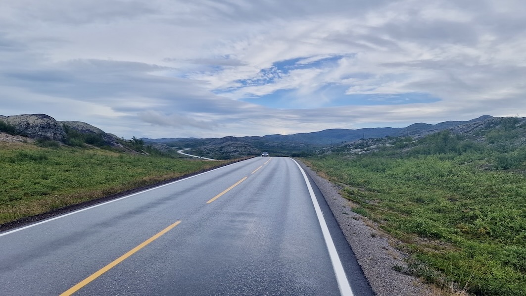
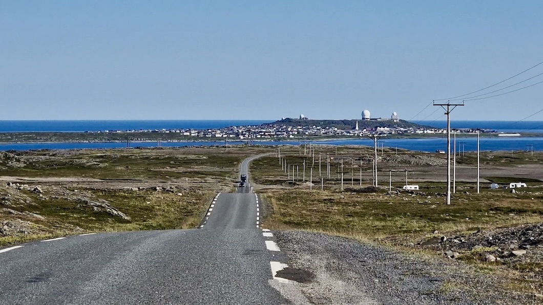
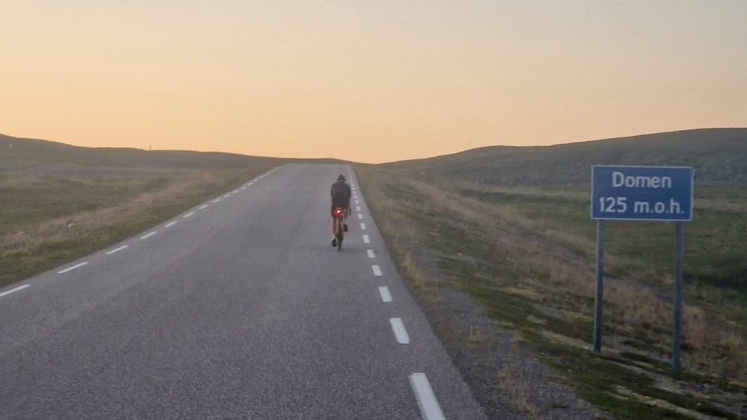
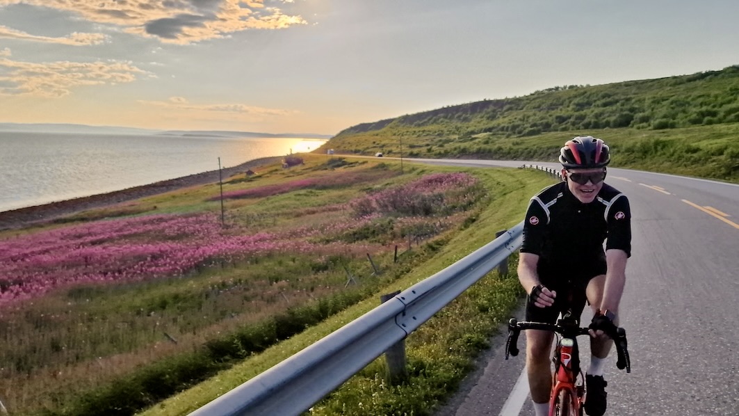
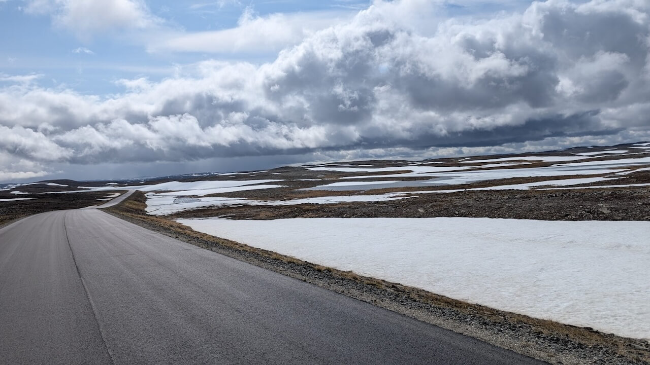
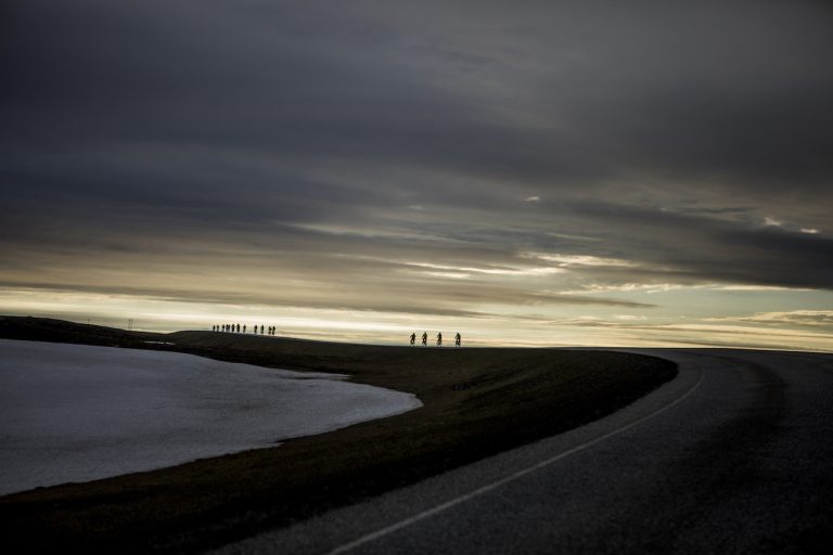
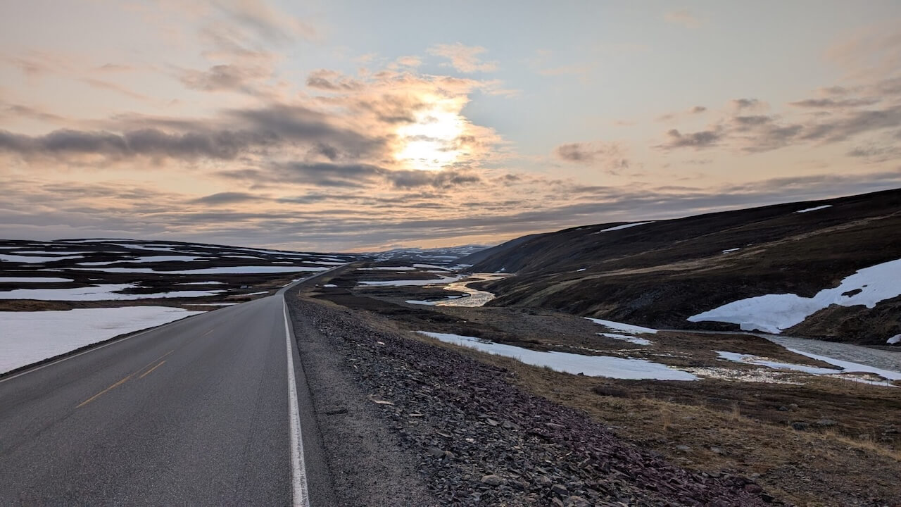
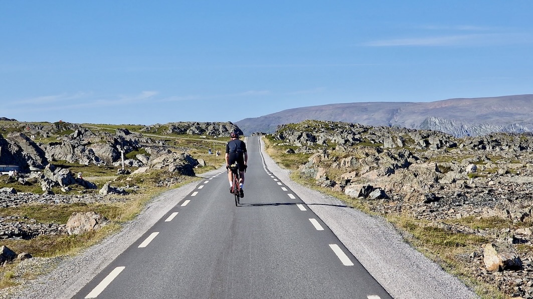
Forget the Wild West, this is the Wild East. The entire route is paved, and there are no ferries to deal with. Still, once you leave Olderfjord, you may wonder what you’ve signed up for. Who lives out here, and what exactly lies ahead? After weeks of dramatic coastline from Bergen to Nordkapp, the sudden simplicity of the landscape can feel almost mundane. But that feeling doesn’t last. As you climb over the beautiful Ifjordfjellet plateau and drop toward the Barents Sea, the scenery shifts again.

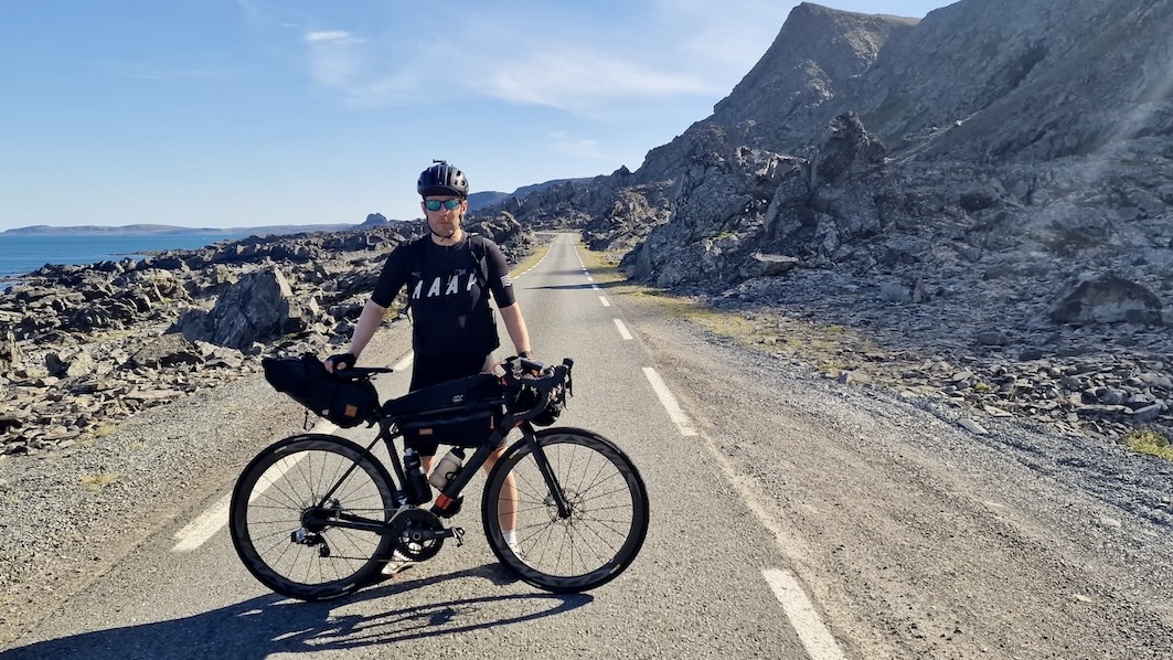
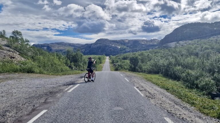
Most cyclists who reach this region have come from the south and see the Far East as the perfect final chapter. Others continue into Finland, heading back south through endless forest. The roads are exactly what you’d hope for this far north: quiet and safe. Every so often a supply truck heading to Vardø or Kirkenes will pass by. Make sure you have enough gear to deal with common mechanical issues, and carrying a tent is sensible in case you need unexpected shelter, but not essential.

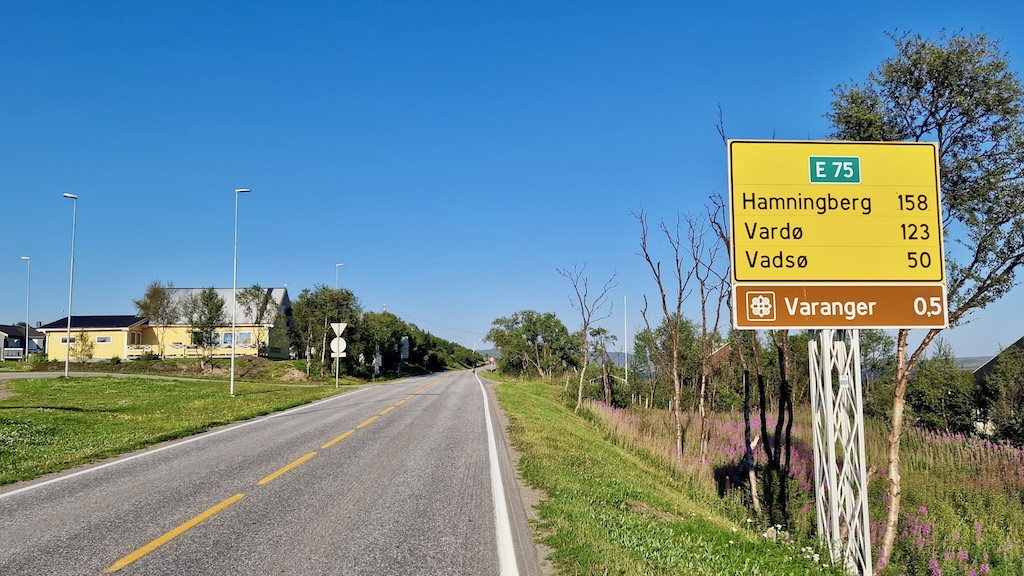
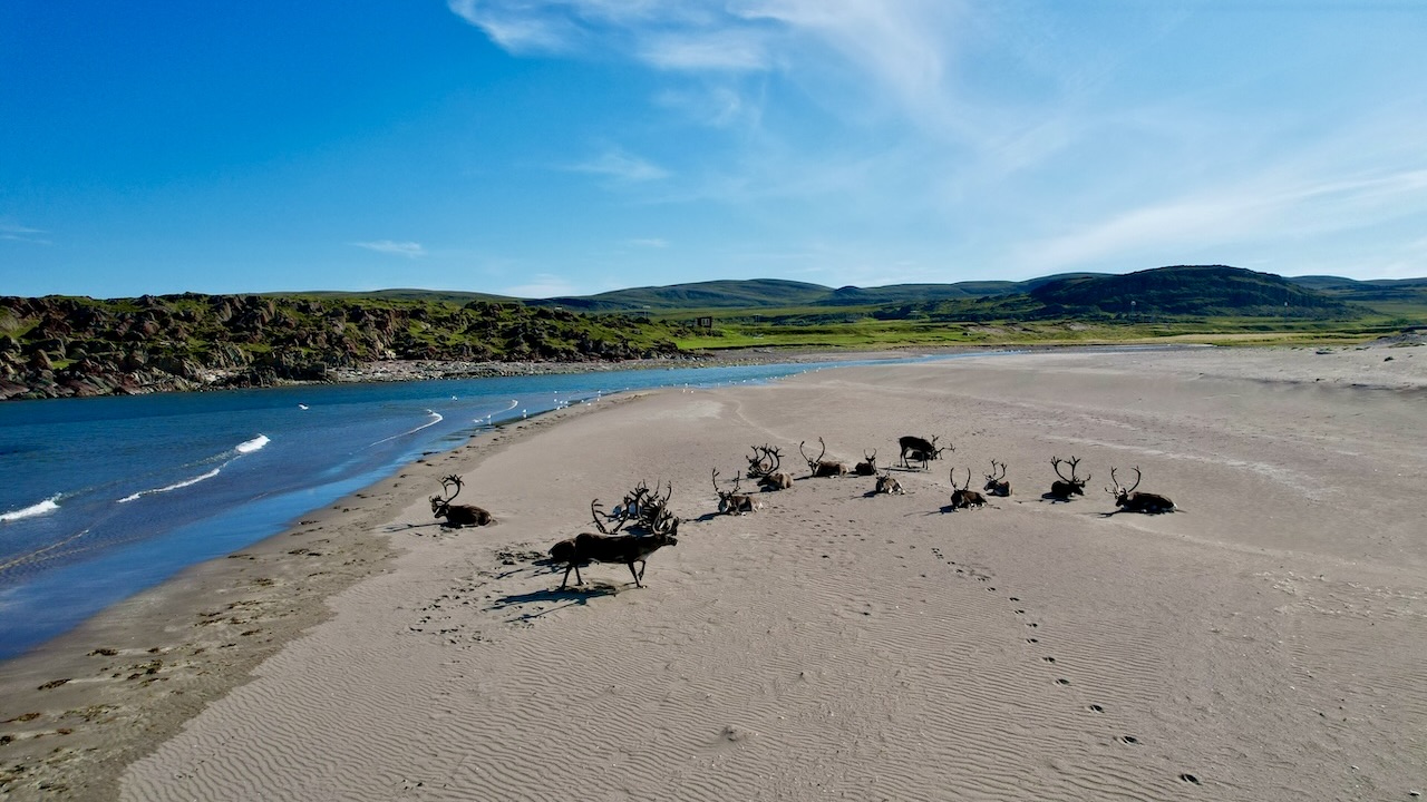
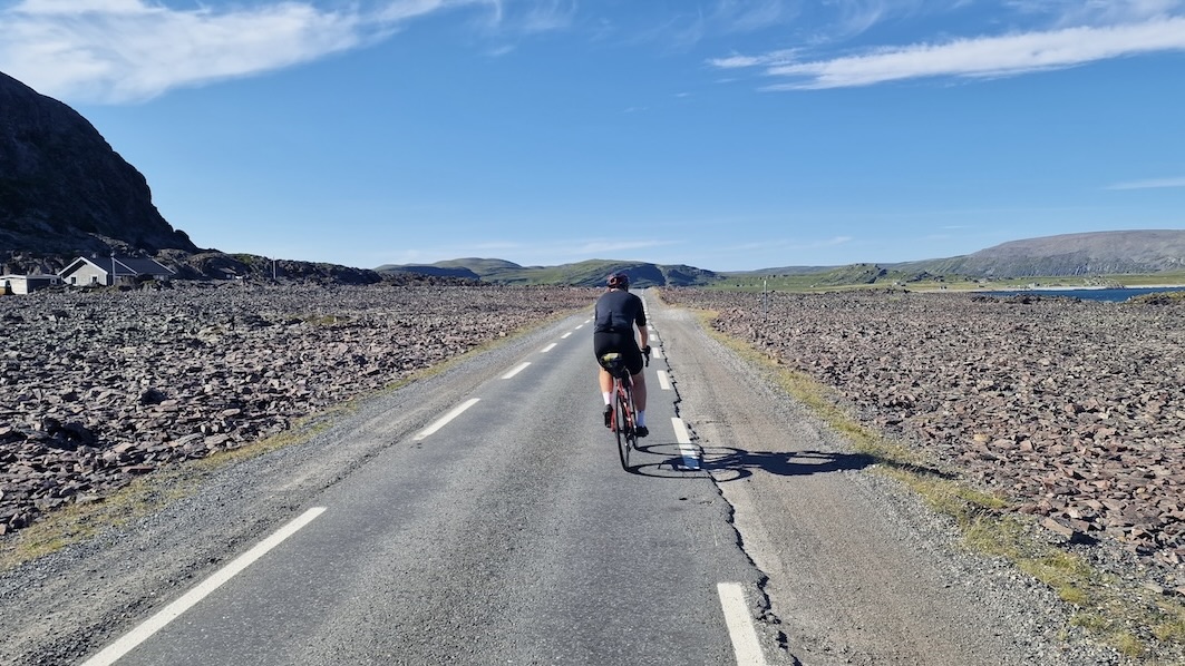
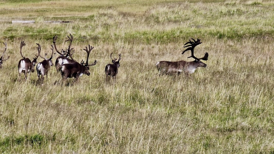
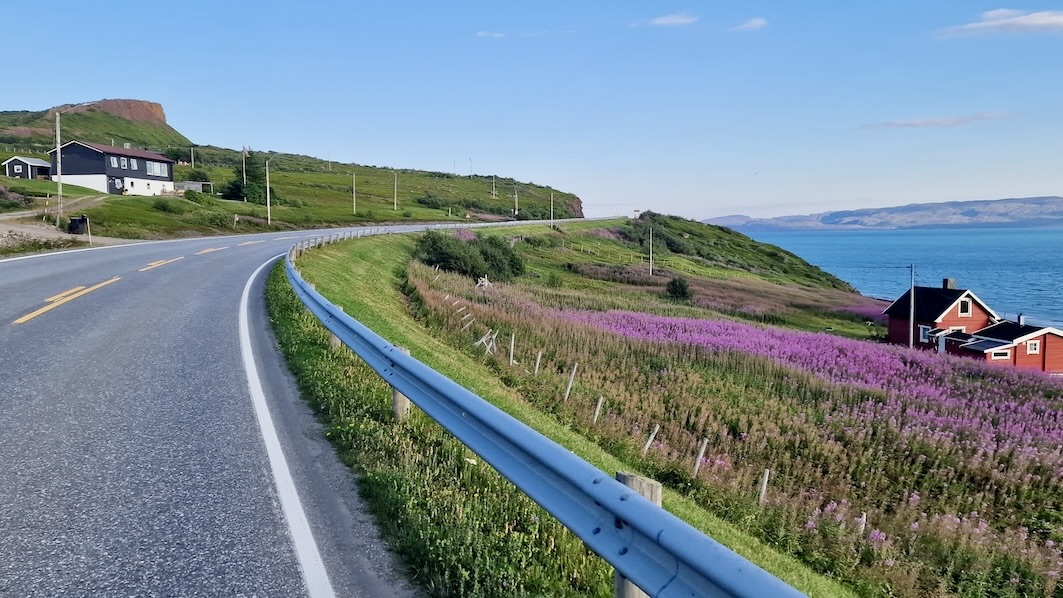
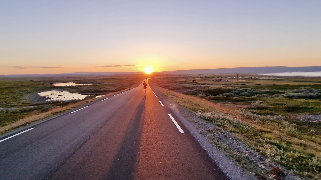
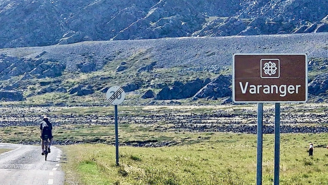
The high point of the journey is the scenic route to Varanger. You follow the Barents Sea for more than 160 km, passing areas of real natural interest. The final stretch moves through marshland and rugged cliffs. With 24-hour daylight and unique birdlife found nowhere else on the planet, it’s an unforgettable end to the ride.

Gallery

The ride to the end of the road is like a lunar landscape and, in many ways, makes you feel like you’re on a journey to the end of the world. To get back to civilisation, ride back to the small settlement of Vardø, where you can catch the Hurtigruten coastal boat back to Tromsø or onwards to Kirkenes.

Difficulty of Route

We have given this a rating of 6/10. From a terrain point of view, it’s not that difficult, with just one climb over 300m. However, cycling this far north can be challenging for the mind. You will be away from civilisation, and if you have a mechanical problem, the nearest repair shop may be hundreds of kilometres away. Furthermore, if the weather is challenging, it will be a demanding route requiring strength and perseverance. We advise that only the most adventurous cyclists ride this route.

Olderfjord – Hamningberg POI's

You will see on this map that there are enough small towns and villages to keep you stocked up and to provide accommodation should you require it.

Scenic Route Varanger

The pinnicle of the journey has much to offer and requires a separate map to point out the highlights.

Arctic East 700

This route is part of the Arctic East 700 and can be included if you wish to do a full loop of Varanger peninsula. You will end in the town of Kirkenes where you can jump on the Hurtigruten coastal liner or take a flight to Oslo.

Highlights

Must know

  • Getting Here and Away: The best option is to fly into Alta for Olderfjord or Vardø for Hamningberg and then either cycle or take a bus (from Alta) to the start. The coastal boat (Hurtigruten) is also an option and stops off in Vardø and Honningsvåg each day during summer. Some people may continue their cycling journey into Finland.
  • When to go: Mid-June to Mid August will be the warmest period to ride it. It is also possible to ride earlier in the season or in September. The latter will give you the chance to see the Northern lights.
  • Food & Supplies: There are more shops on the route than you would probably imagine but you must check their opening times and probably most are closed on Sunday. I personally would carry extra food so I’m not chasing the supermarket opening hours.
  • Water: I would recommend carrying extra as some areas are barren and lack fresh flowing water. Gas stations, supermarkets, and public toilets will be on hand in small towns and there are some rivers close to the road.
  • Bike Type: You can use any type of touring bike on this route (Road, Gravel, Mountain) but make sure it has some built-in comfort as long days on the road may await you. With limited climbing, you shouldn’t be too concerned with your cassette/gear selection.
  • Many businesses are closed on Sunday: stock up on food on Saturday evening.
  • Public Toilets: There are a few gas stations that will be your best option. Some of the rest areas along the Varanger scenic route will also have a toilet.
  • Expect mosquitos and flies between late June and early-August. A face net is recommended if wild camping! I cycled it in mid august and didn’t have any issues.

Accommodation

  • Wildcamping: Probably the easiest place in Norway to wild camp. However, finding a water supply and natural shelter may take some time. In addition, during peak summer the mosquitos can be very active! You have been warned!
  • Campsites & Cabin: In most small towns camping and cabins are available and it’s unlikely they will be full. Ring ahead to check but there are few tourists this far north.
  • Hotels and Hostels: Every small town has at least one hotel or guesthouse. The Scenic Route Varanger has some larger hotels and higher standard accommodations (See maps)
  • Airbnb: There are plenty advertised along the 165km Scenic Route Varanger. But not much on the other roads.

Video

Transport

Options:

  • Hurtigruten (& Havila) has daily boat services running up and down this coastline in the summer. It’s easy to hop on for less than 24 hours and bypass parts of the route if required.
  • Trains: There are no trains along this route.
  • Buses: There are local buses connecting towns and villages. You can plan and book using this very useful local transportation site.

If you were to have a serious mechanical problem on this route using the bus services will be a good option to reach civilization. Stick your thumb out on the side of the road and there is a good chance they’ll start for you.

In addition, don’t be afraid to try hitchhiking if you feel comfortable with this idea. The locals will be very helpful to cyclists in need.

Finland: There are weekly bus services to/from Finland via Karasjok.

Safety

Tunnels

Officially, there are no tunnels on the route! However, if you decide to visit Vardø or take the boat from there, you will need to travel through the sea tunnel.

Vardøtunnelen 2765m: The tunnel is fairly easy to cycle, there is a slightly elevated, but narrow pavement all the way through. The tunnel is poorly lit in places but has little traffic. Warning: it will be very cold inside!


Busy Roads

As mentioned earlier expect a supply truck to go past once in a while and there maybe some tourist traffic on the scenic route section but in general, you shouldn’t find the roads dangerous to cycle.


The Weather

This might be the hardest part about cycling here. The weather is really unpredictable and you should not underestimate how quickly the weather conditions can change. You should be carrying winter gloves and plenty of warm and waterproof clothing. Hopefully, you won’t need to use all of it but you’ll be thankful if it is required. Try to ride according to the weather. You don’t want to get caught out in a remote area cycling hours in heavy rain with little shelter. It is smart to use the 24-hour daylight to your advantage. Perhaps on some days, starting late and riding into the night may offer calmer weather. Night rides in the north can be very special,

Further Reading

Clothes List

Public Transport

Gear list

Opening & closure of roads

Accomodation

Finnmark too has a certain mystique. Being about the same distance from Oslo as Istanbul, in some ways, it’s basically the last stop before the North Pole. The undoubted highlight of the journey is simply cycling the wild expanse of Europe’s last great wilderness. It will feel very lonely up here but isn’t that a reason to cycle it? The cycling heat maps of the world are full of well-ridden roads. Here you will join a small group of cyclists seeking something extraordinary. Passing wild herds of reindeer and perhaps not seeing another human for many hours is why you came – right? The ride comes to an end in the town of Kirkenes which has Russian road signs. This will indicate you have reached the boundaries of the Western world!

Transport

Finnmark too has a certain mystique. Being about the same distance from Oslo as Istanbul, in some ways, it’s basically the last stop before the North Pole. The undoubted highlight of the journey is simply cycling the wild expanse of Europe’s last great wilderness. It will feel very lonely up here but isn’t that a reason to cycle it? The cycling heat maps of the world are full of well-ridden roads. Here you will join a small group of cyclists seeking something extraordinary. Passing wild herds of reindeer and perhaps not seeing another human for many hours is why you came – right? The ride comes to an end in the town of Kirkenes which has Russian road signs. This will indicate you have reached the boundaries of the Western world!

Terms of use

Keep in mind

All cycling routes published on CYCLENORWAY.com are simply a planning resource to be used as a point of inspiration in conjunction with your own due-diligence. All route guidelines were prepared under diligent research. However, we can never for certain insure the complete accuracy of the routes. Cycling in Norway is in general very safe. Nevertheless, should you choose to cycle this route you do so at your own risk.


Check weather conditions

We advise that you check weather conditions along the route and look out for land/road closures. 

Check out this helpful video to see how the routes can be uploaded onto your mobile device and cycling computer.

Cycling long distance is tough, and you should not attempt routes that are beyond your level. 

Follow all rules and regulations when wild camping. 

If you discover any inaccuracies on this page, please let us know so we can correct them.

More routes in the area

Finnmark Route

This is where East meets West! Cycle the remote roads to the Russian border and experience Europe’s last wilderness along the way.

Finnmark Route

This is where East meets West! Cycle the remote roads to the Russian border and experience Europe’s last wilderness along the way.

Tromsø – Nordkapp

Cycle to the top of Europe, dodge reindeer as they run across the road, and brace for some strong winds. This is a pure bike adventure.

Tromsø – Nordkapp

Cycle to the top of Europe, dodge reindeer as they run across the road, and brace for some strong winds. This is a pure bike adventure.

Bodø – Lofoten – Tromsø

Cycle through Lofoten’s world of archipelagos with tropical-looking water, white sandy beaches, and jagged mountains carved to perfection by the last ice age.

Bodø – Lofoten – Tromsø

Cycle through Lofoten’s world of archipelagos with tropical-looking water, white sandy beaches, and jagged mountains carved to perfection by the last ice age.

Leave your thoughts below

Stay up to date with the latest from Norway’s cycling scene.

Subscribe To Our Monthly Newsletter

non-intrusive, offering informative news, blog posts, videos, and more.