When
Late May - September
Written by
Matthew Tolley
Distance
549km
Days
3-8
High point
433m
Difficulty
6/10
Unpaved
0%
Total Ascent
8845m
Ferries
2
Tunnels
14
The final leg to the top of Europe mixes beauty with blunt reality. Road 91 toward the Lyngen Alps is a true Arctic jewel, with snow-capped peaks, hanging glaciers, and pale blue fjords that feel almost unreal.
But the spell breaks once you hit the E6 at Olderdalen. From here, it’s over 300 km on a main road. Traffic is light this far north, but you’ll still meet supply trucks and fast-moving cars, and there’s no avoiding it.
Some riders skip this stretch and jump on a boat or bus to Alta or Olderfjord. Fair enough. But if you can tolerate the trucks, the ride becomes increasingly stark and otherworldly. The tundra opens up, the land strips back to its bones, and reindeer outnumber sheep, often trotting across the road or standing silently as you pedal past.
The final run to Nordkapp is one of the great endings in Norway. Remote, exposed, unforgettable, Norway knows how to close a journey.
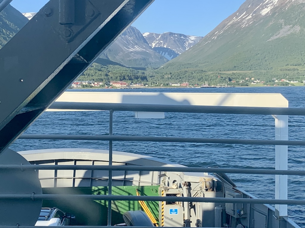
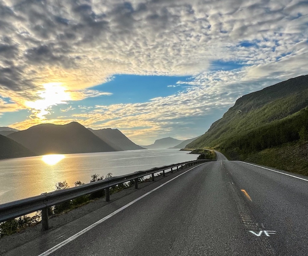
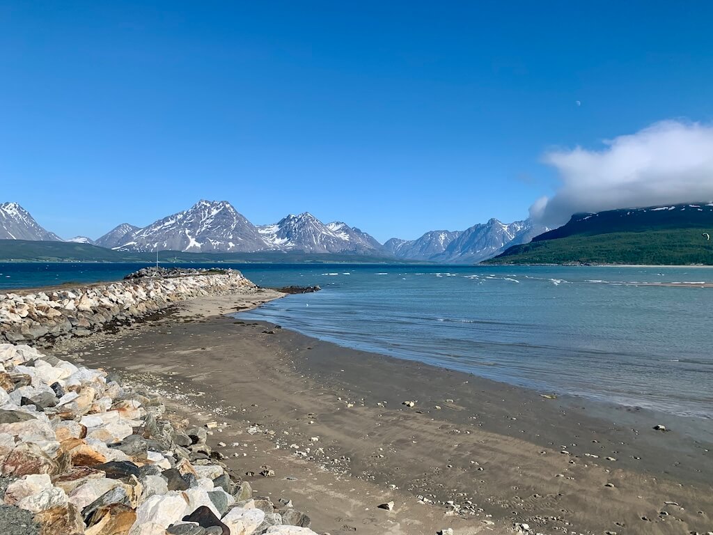
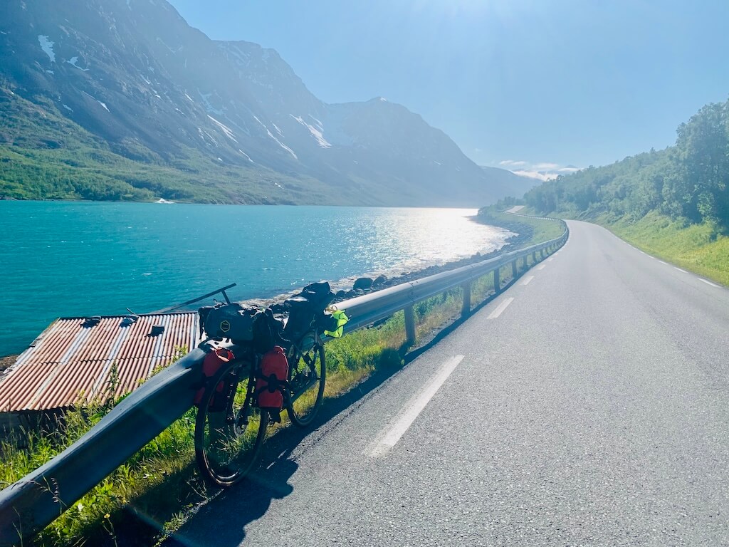
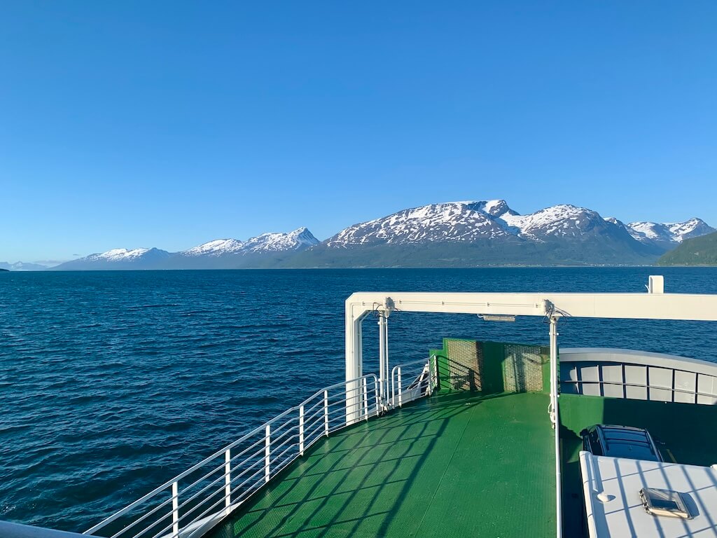
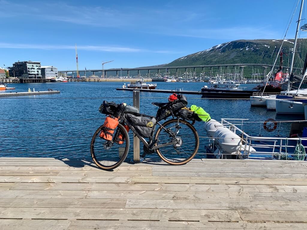
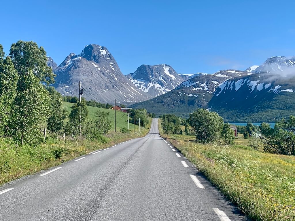
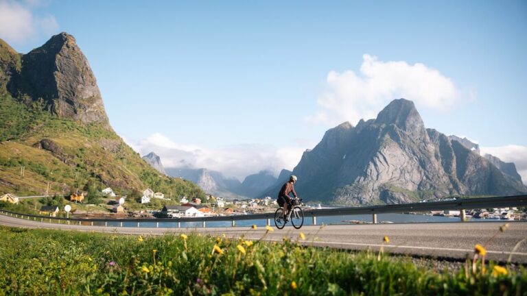
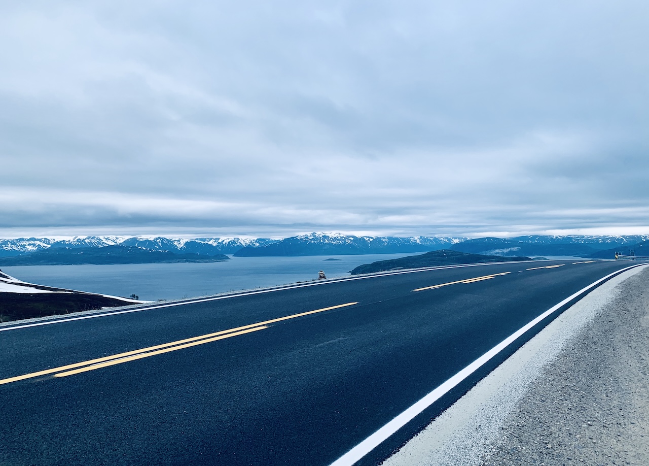
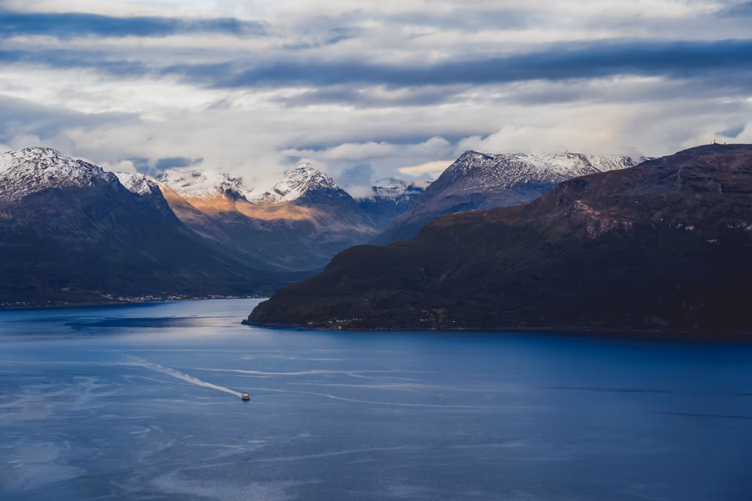
Leaving Tromsø, the opening stretch on Road 91 is a reminder of why people come this far north. You ride straight toward, and eventually through, the Lyngen Alps, a spectacular and surprisingly little-known mountain range sitting well above the Arctic Circle. The wind often funnels down the valleys here, hitting you head-on or from the side. It’s a sharp wake-up call that you’re entering a very different part of the country. And once you’ve taken the second ferry, the easy days of quiet roads and small islands are behind you.

From there, the run toward the top of Europe on the E6 is simply not a cyclist’s ideal road. My shoulders never fully relaxed; you’re alert the whole time. There are peaceful stretches and some striking views, but every so often the supply trucks come through, and those moments can be uncomfortable and draining. Several long tunnels add to the challenge, and traffic echoes inside, making it far from pleasant. The simplest mindset is this: if you want to reach the end of Europe, this is the road you have to take.

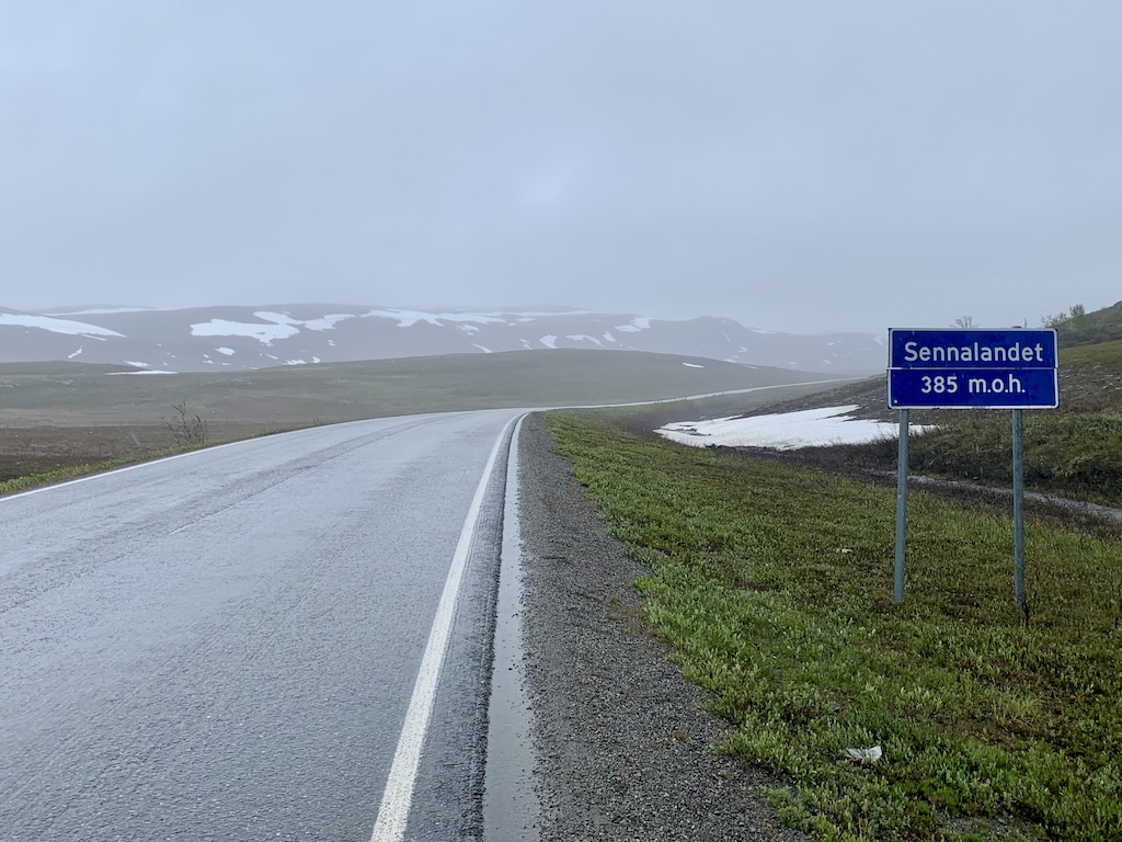
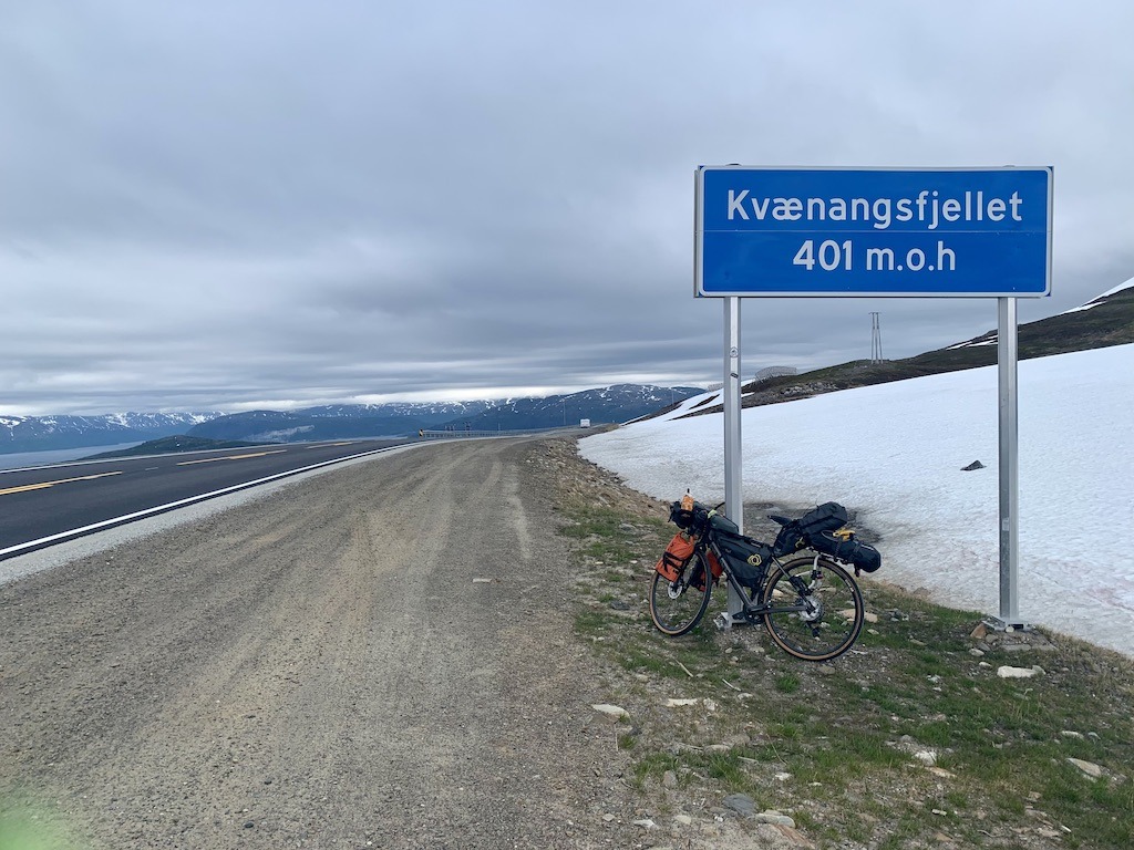
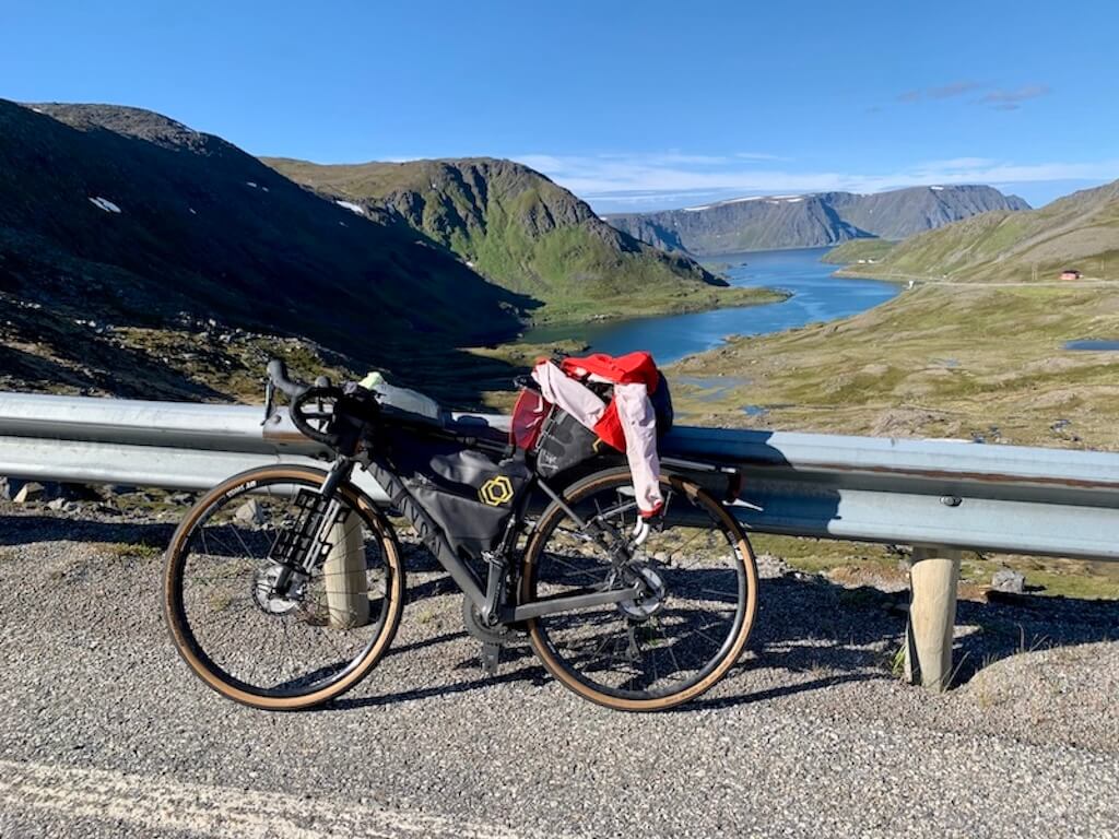
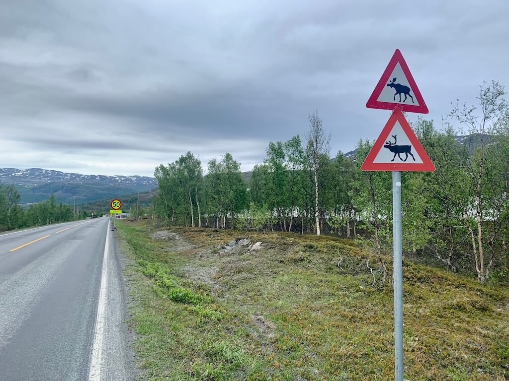
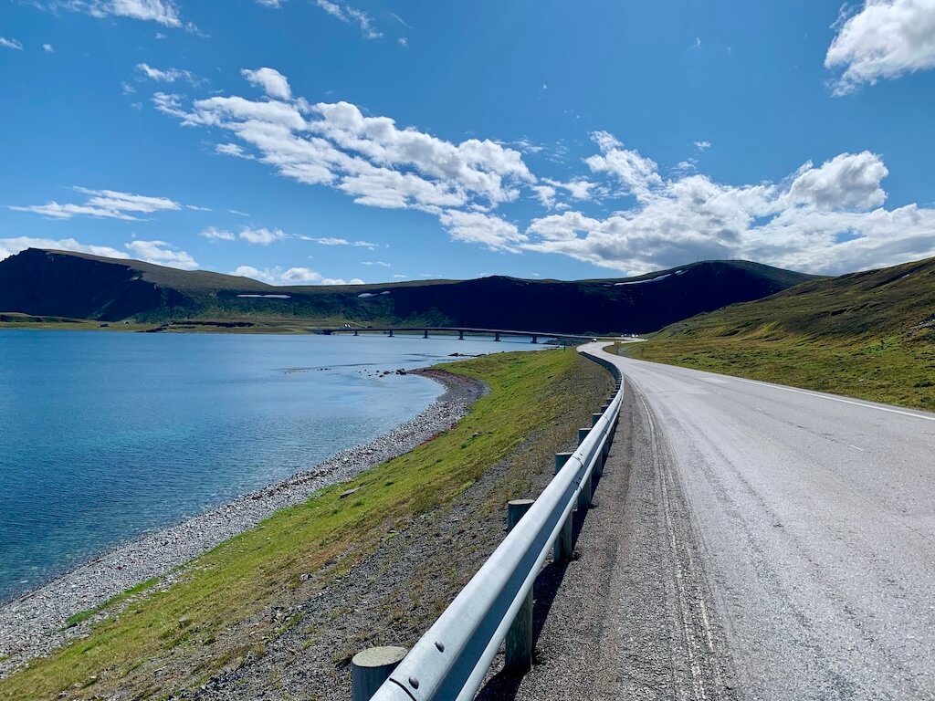
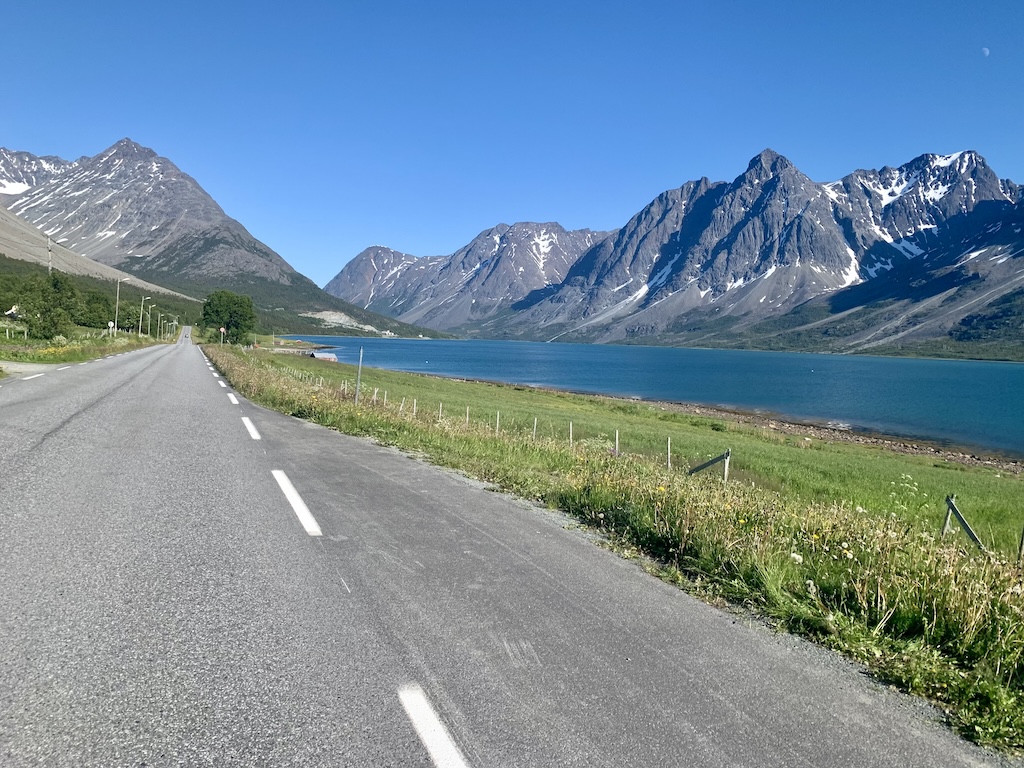
Once you reach Alta, the route north over the Sennalandet mountain pass should only be attempted in reasonable weather. If a local storm rolls in with strong winds and heavy precipitation, it’s wiser to wait it out in Alta. Conditions this far north can be brutal on the wrong day, and the pass is no place to test your luck. However, once you descend to the small settlement of Olderfjord, you finally say goodbye to the E6 and jump on the quieter and more peaceful E69.
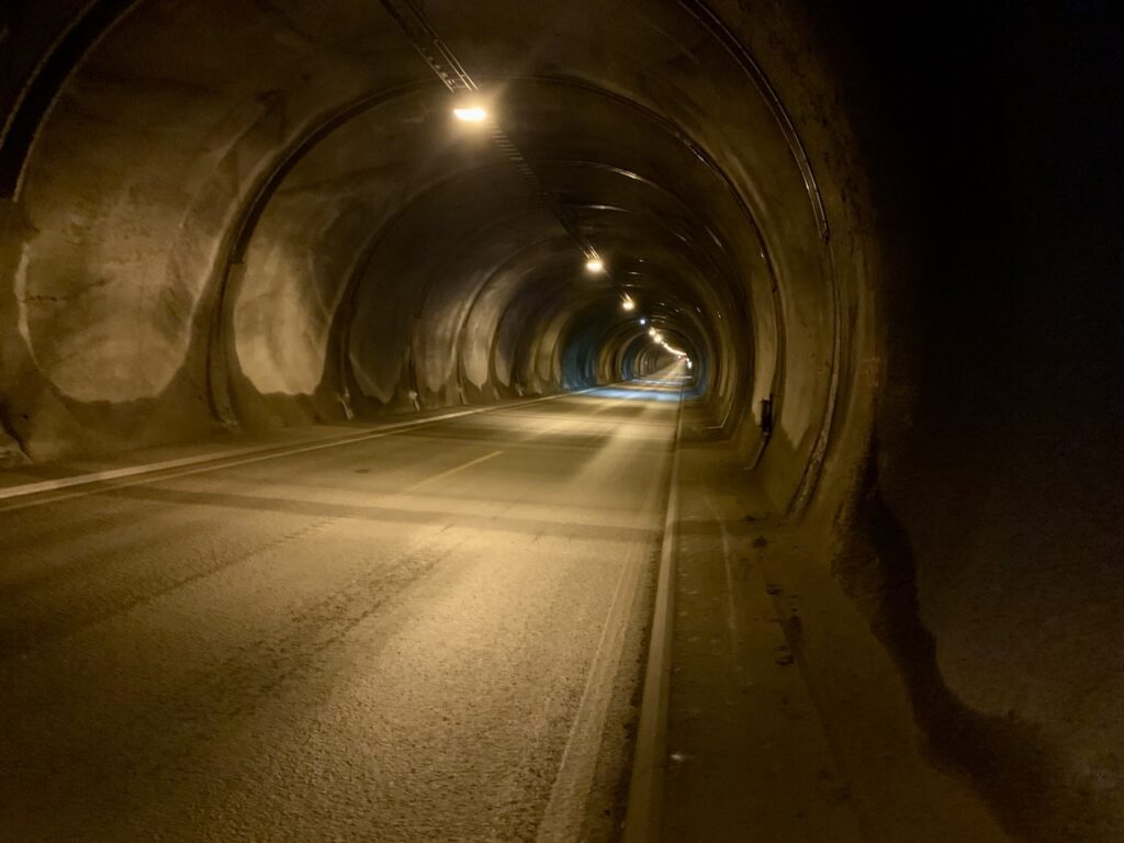
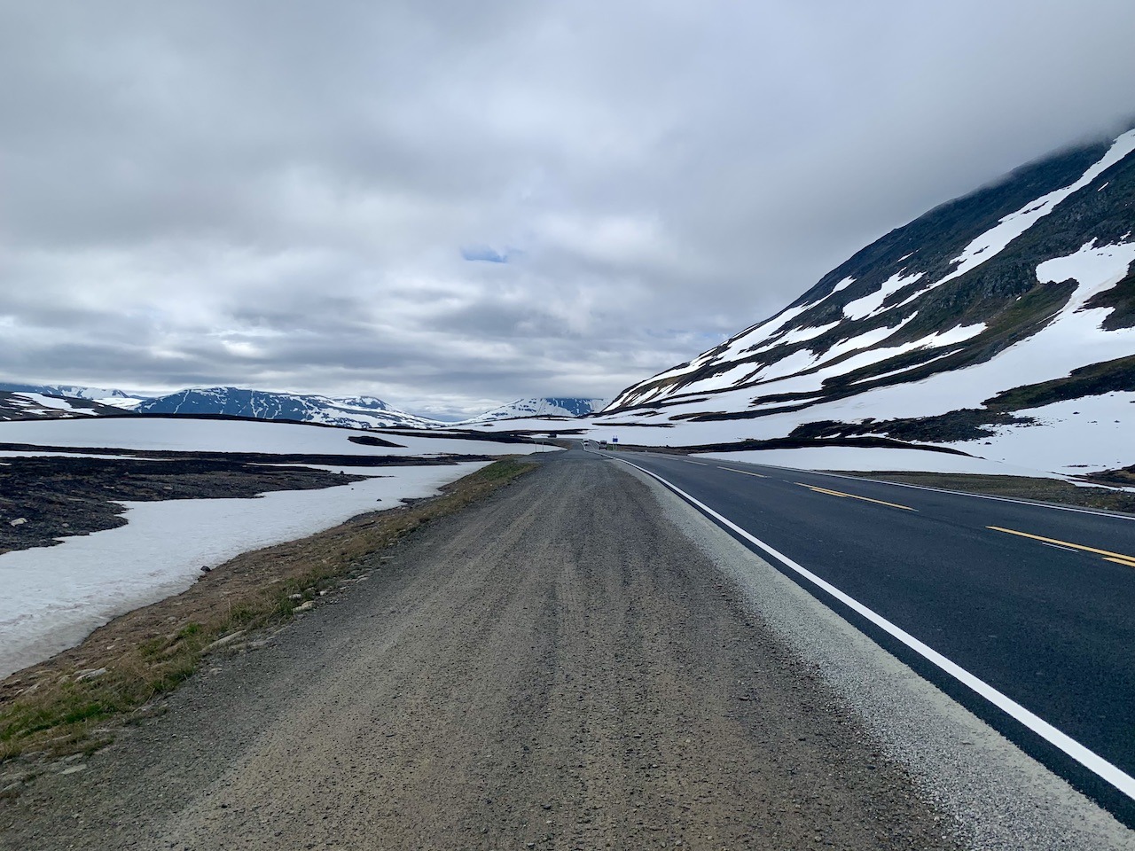
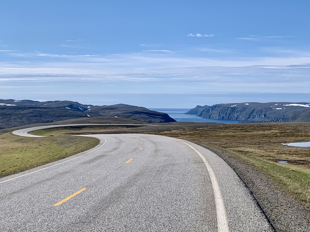
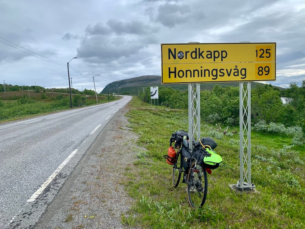
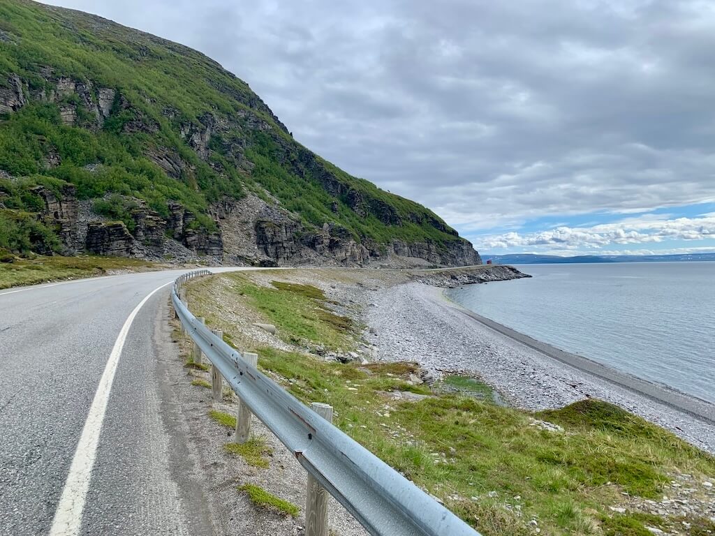
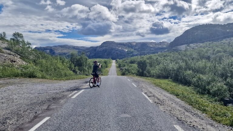
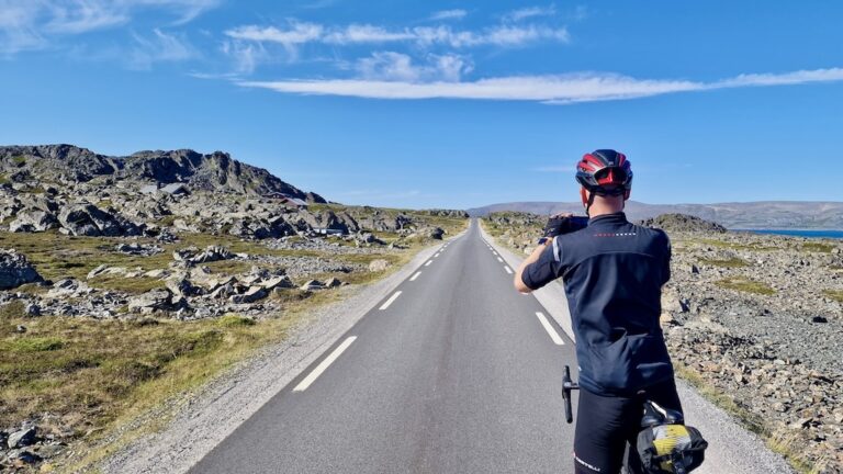
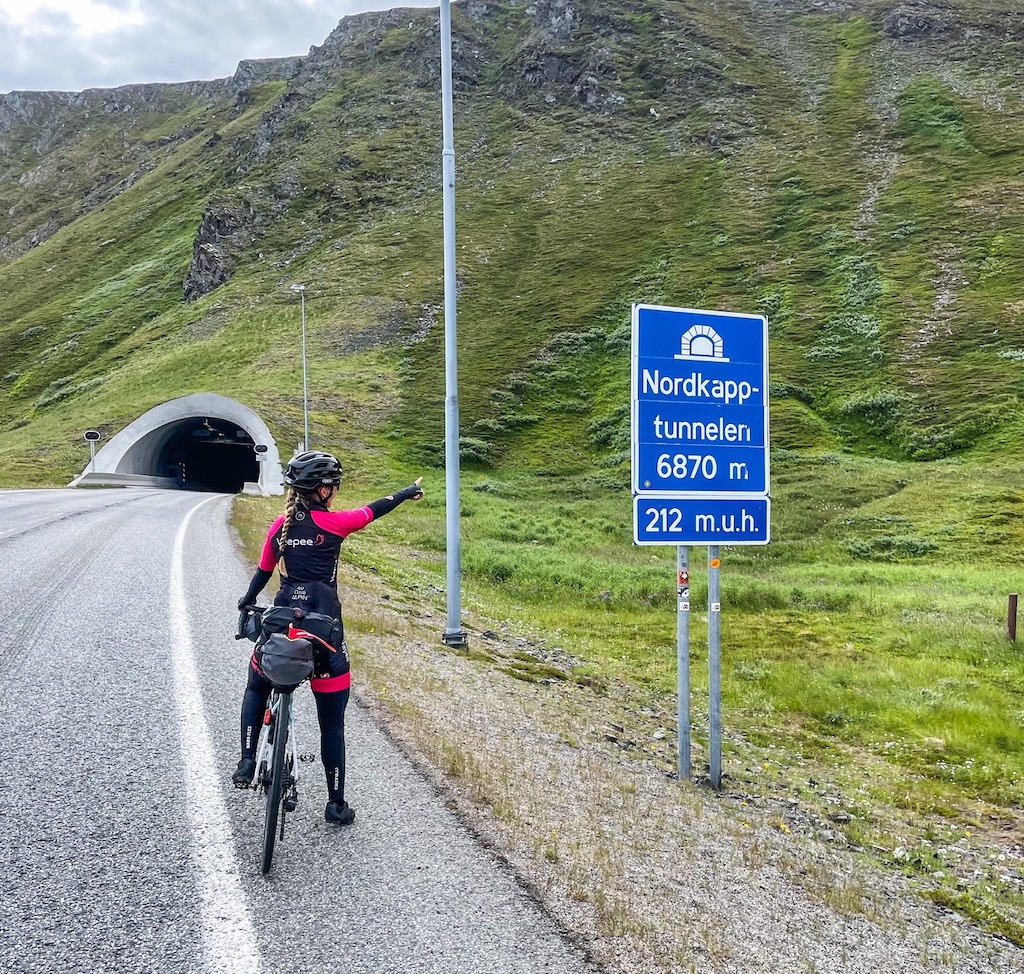
The final approach to Nordkapp on the E69 is one of Norway’s most striking stretches of road. It’s wild, barren, and full of a strange Arctic beauty that feels almost otherworldly. The 6.9-kilometre Nordkapp Tunnel, dropping 212 metres below the seabed, is unforgettable. You won’t enjoy it, but it’s quiet and safe enough to cycle through.

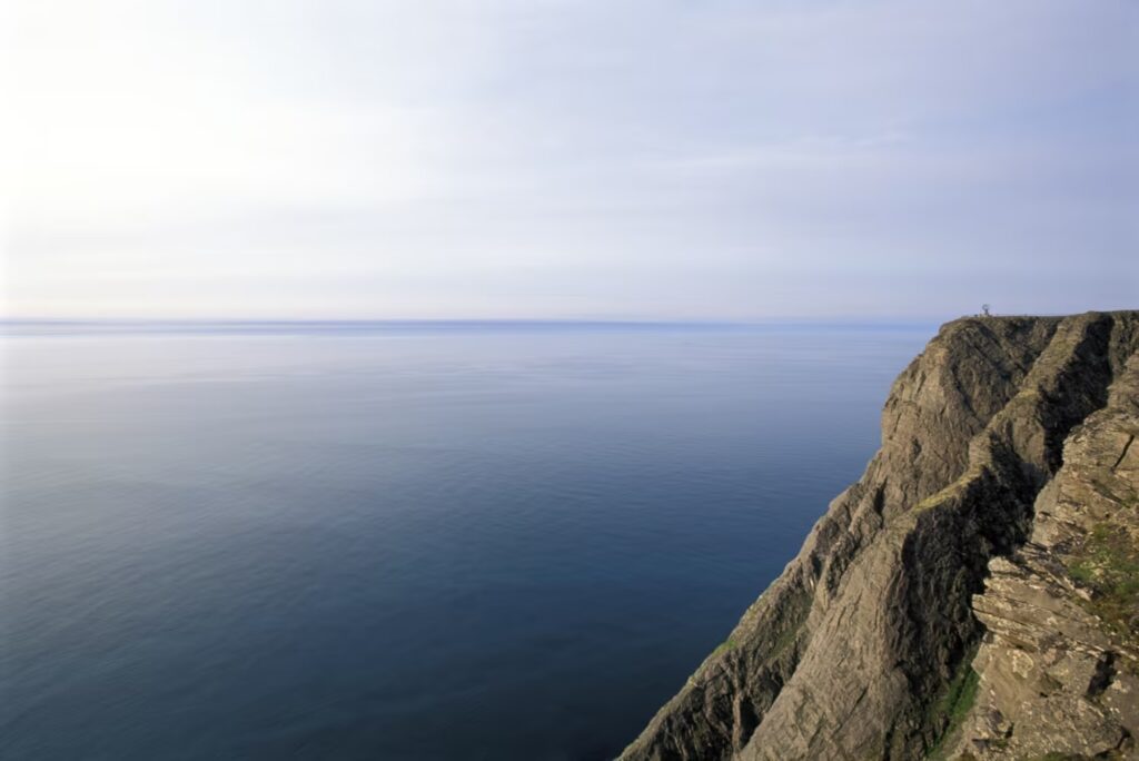
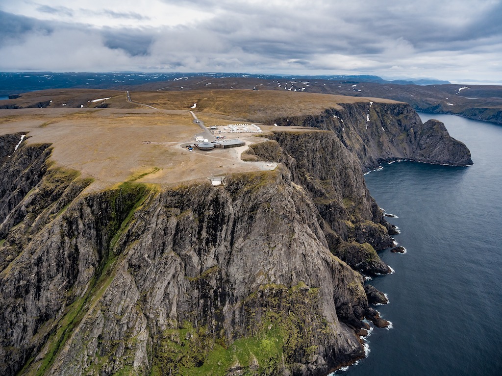
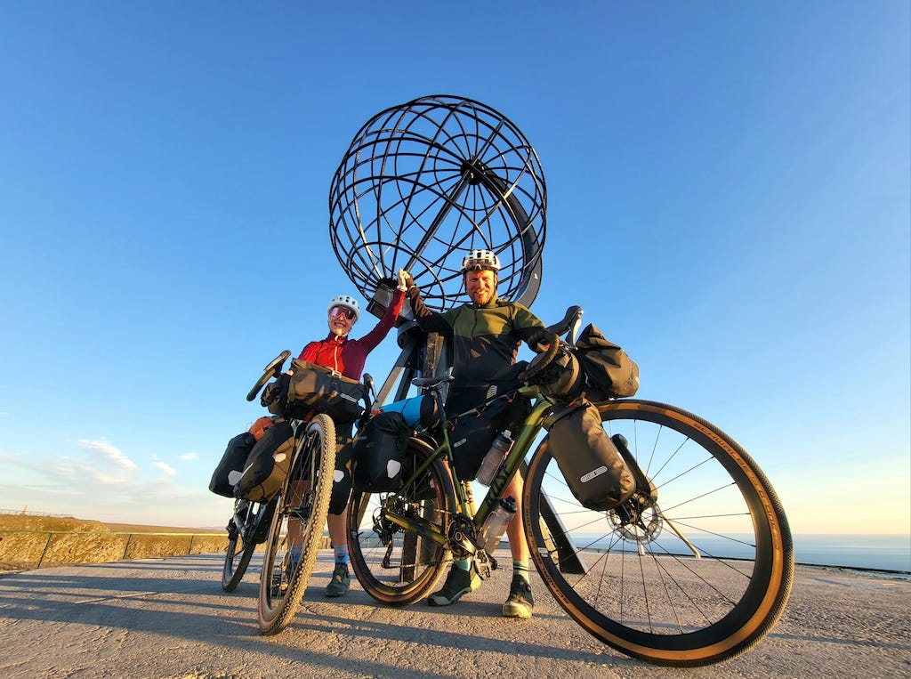
After passing through Honningsvåg, the road turns hilly, with a few short 200-metre climbs that demand your attention. Then, on the last half-kilometre, the landscape opens and you finally see the Nordkapp visitor centre and the sheer cliff falling into the Arctic Sea. The view is immense, and the sense of achievement is real. You have reached the top of Europe and the last great land mass before the Arctic Circle!

We rate this section 6/10, but poor weather pushes it much higher. Expect two climbs over 350 metres in a harsh, exposed environment. The final run to Nordkapp is demanding, and there are several long tunnels along the way. It won’t suit everyone. But for adventure cyclists looking for a genuine challenge, this road delivers exactly that.
Study the information on this map; there are several tunnels you should be aware of.
You can skip all the tunnels from Alta to Nordkapp, including the infamous 6.9km Nordkapp sea tunnel, by taking the scenic road Havøysund. At Havøysund you can catch a daily boat that will drop you off at Honningsvær where you rejoin the main route 30km from Nordkapp.
Getting Here and Away
Reaching Tromsø:
Flying is the most practical way to arrive. There are frequent domestic flights from Oslo, Bergen, and Trondheim.
You can also reach Tromsø by Hurtigruten or Havila coastal ships from several coastal towns, although these journeys are long and mainly for travellers who want the experience.
Reaching Nordkapp:
Most riders fly into Alta and take a bus to Honningsvåg. From there, you can cycle the final ~30 km or take the once-daily Nordkapp bus at 11:15
(timetables vary by season; check ahead). Honningsvåg also has a small domestic airport served by Widerøe, but flights are usually expensive.
Leaving Nordkapp:
The common option is to take the bus back to Alta and fly south from there. You can also take the daily coastal boat from Honningsvåg to Tromsø.
The trip is around 24 hours, and you can travel without booking a cabin. Prices are generally €90–100.
When to Go
June to August is the main cycling season. Riding earlier or later is possible, but you should expect colder temperatures and more unstable weather.
Food & Supplies
Supermarkets are available in the small towns along the route, but opening hours vary—especially in Finnmark—so plan ahead.
It is sensible to carry extra food, as there are long stretches with no services.
Water
You can refill in towns, service areas, and several roadside rest stops. Fast-flowing streams exist in remote areas, though most cyclists prefer refilling in towns.
On cold days water needs are low; on warmer days carrying extra is wise.
Bike Type
Any touring-ready bike is suitable—road, gravel, or mountain bike.
The route is almost entirely tarmac, so comfort matters more than aggressive gear ratios.
Expect long days in the saddle rather than steep climbs.
Sunday Closures
Many shops in Norway close on Sundays, especially in smaller towns. Plan ahead and stock up on Saturday evening. Some village shops may introduce soon a 24-hour access by using your card on a tab reader outside to open the door when offically closed. You pay with a self-service-checkout machine.
Public Toilets
Both ferry terminals offer free public toilets. Small communities and several roadside rest stops also have facilities. In remote areas, you may need to use the outdoors—follow Norwegian outdoor access rules and respect private property.
Northern Lights
The Northern Lights are visible from September through early spring on clear nights.
Forecasts: https://www.spaceweather.no/aurora
Wild Camping
Wild camping is generally straightforward this far north, provided you follow Norway’s outdoor access rules. There are several E6 lay-bys with small shelters. Overnighting in them isn’t clearly defined, but arriving late, leaving early, and leaving no trace is standard practice for many cyclists. Some riders camp near Nordkapp itself, but conditions on the peninsula are extremely exposed. Sudden storms and strong winds are common, and there is almost no natural shelter. Camping closer to Honningsvåg, where the terrain offers more protection from the sea, is a safer choice.
Campsites & Cabins
There are enough campsites along the route to meet most cyclists’ needs, and many offer cabins at reasonable prices. In bad weather, choosing a cabin is well worth it. Only during the peak summer period may you need to book ahead.
Hotels and Hostels
Guesthouses and small hotels appear in the main population areas along the route. Tromsø, Alta, and Honningsvåg have the widest range, including larger hotel chains. It is entirely possible to ride this route without carrying a tent if you plan your accommodation.
Airbnb
Airbnb options exist in the larger towns—particularly Alta, Tromsø, and Honningsvåg—and good deals do appear. Outside these hubs, the selection is limited, but it’s still worth checking; occasionally, there are private rooms or small apartments listed in smaller settlements.
Tunnels
There are 14 tunnels on this route, and you cannot avoid all of them. Traffic is usually very light, and if you are an experienced cyclist you should feel safe enough. If you are inexperienced, I would think twice about choosing this route. I know a young Norwegian woman who cycled to Nordkapp and told me she cried while riding through some of the tunnels on the E69.
Ailegastunnelen – 3400 m (E6):
New, modern, wide, and well lit — but very long. There is an old road around the tunnel that was blocked by a landslide, later cleared, and is a beautiful alternative.
Melsviktunnelen – 2467 m (E6):
Well lit throughout. When riding from north to south, the first 300 m ascend and the rest descend. There is a thin sidewalk, but I felt safer on the road. There is an alternative pre-tunnel coastal road east of the tunnel. It was once cut off by a landslide and poorly marked; it is believed to be fixed now, but this cannot be guaranteed.
Skarvbergettunnelen – 3000 m (E69):
An older tunnel with some climbing and uneven lighting.
Nordkapptunnelen – 6900 m (E69):
Not actually the longest cycle-through tunnel in Norway—there is an 8000 m tunnel north of Narvik—but the Nordkapp tunnel descends 222 m, and the climb back out means you will spend a long time inside. I had heard horror stories, but I experienced no issues. Fewer than 10 cars passed me in either direction during my ride. The large extractor fans are very loud and can be disorienting, but manageable. Some cyclists use the small sidewalk on the climb, but I preferred the road. When you exit the tunnel, the ocean views are fantastic.
Alternative:
You can ride the road to Havøysund north of Olderfjord and take the Hurtigruten boat to Honningsvåg (see map section).
Sarnestunnelen – 4500 m (E69):
Just when you think the tunnels are over after the Nordkapp tunnel, Norway gives you one more. It is long but modern, with low traffic. Most cyclists have no problems here. After this, the final stretch is tunnel-free.
Busy Roads
E6:
Cars and trucks travel at high speed on this road. You may also encounter boy racers in sports cars testing their engines on long straight sections. It sounds bad, but the road is wide, and you get used to vehicles passing quickly. Every year, thousands of cyclists ride the E6 without issues. Be prepared and keep your safety gear and lights ready.
Sennalandet mountain pass (E6):
At around 400 m it does not sound high, but the latitude makes it cold, barren, and completely exposed. There is almost no shelter. Avoid riding it in bad weather. Buses from Alta and Olderfjord are available if conditions are poor.
The Weather
The weather is highly unpredictable this far north, and the Nordkapp peninsula has its own microclimate. Do not underestimate how quickly conditions can change. I was caught in a severe storm and had to stay in Alta for three days waiting for it to pass.
You must ride according to the weather. Cycling through remote areas in heavy rain with little shelter is not a good situation. Many riders make smart use of the 24-hour daylight; some cycle long distances from midnight to mid-morning when the winds are lower and the skies clearer.
Finnmark too has a certain mystique. Being about the same distance from Oslo as Istanbul, in some ways, it’s basically the last stop before the North Pole. The undoubted highlight of the journey is simply cycling the wild expanse of Europe’s last great wilderness. It will feel very lonely up here but isn’t that a reason to cycle it? The cycling heat maps of the world are full of well-ridden roads. Here you will join a small group of cyclists seeking something extraordinary. Passing wild herds of reindeer and perhaps not seeing another human for many hours is why you came – right? The ride comes to an end in the town of Kirkenes which has Russian road signs. This will indicate you have reached the boundaries of the Western world!
All cycling routes published on CYCLENORWAY.com are simply a planning resource to be used as a point of inspiration in conjunction with your own due-diligence. All route guidelines were prepared under diligent research. However, we can never for certain insure the complete accuracy of the routes. Cycling in Norway is in general very safe. Nevertheless, should you choose to cycle this route you do so at your own risk.
Check out this helpful video to see how the routes can be uploaded onto your mobile device and cycling computer.
Cycling long distance is tough, and you should not attempt routes that are beyond your level.
If you discover any inaccuracies on this page, please let us know so we can correct them.
non-intrusive, offering informative news, blog posts, videos, and more.