Numedal & Mjølkevegen

National Cycle Route 5
If you want a mixture of forest and mountains, gravel and paved, warm and cold, and barren and lush then ride this one!

When

20th June - September

Written by

Matthew Tolley

Distance

594m

Days

3-8

High point

1307m

Difficulty

7/10

Unpaved

40%

Total Ascent

8266m

Ferries

Tunnels

1

The Classic Bikepacking Route

The southern part of this route cuts through a sparsely populated area between the counties of Telemark and Viken. You may bump into more red squirrels than people as you cycle along beautiful forest roads with lakes dotted along. The first time I cycled in Middelalderdalen (Middle ages valley) I couldn’t believe it wasn’t a national park. In any other European country, it would be, but in Norway, it’s just another valley with untouched lakes and rivers to camp by.


Perhaps, the crown jewel of this route lies in the north. Mjølkevegen, Norway’s premier gravel road traverses high mountain plains in one of the most unique areas of the country. Two hundred kilometers of fantastic gravel await. There is also a strong possibility you will only meet a handful of other cyclists along these roads. Why? We don’t know, but what is certain…this is one of Europe’s best-unpaved cycling experiences. 

Map

Cycling the Middle Ages

Stage 1: Middelalderdalen

This long trip north to Geilo is reasonably easy to cycle for the first 200km. You cycle north from the coast through Numedal on a side road with limited traffic and several nice rest areas. Numedal is called the “medieval valley” because there are several beautiful stave churches that you pass by. The route is signposted and pretty easy to follow.


From Rødberg, the route changes character and rises through the peaceful and very beautiful Smådøldalen up to an altitude of almost a thousand meters. The trip continues via Geilo and Gol. From here, there is a steep climb up onto the mountain plains as you begin the gravel roads of Mjølkvegen. 


Here you cycle above the tree line for much of the time and have views of many of the country’s highest mountain peaks. The combination of magnificent nature, rustic life, and fresh air is what gravel rides should be all about. The route can be combined with hiking in the mountains, swimming, fishing, visits to støls (old milking stations), and great nature and cultural experiences.

Gallery

Stage 2: Mjølkevegen

The route over Mjølkevegen is generally very hilly, but manageable for most cyclists. There are several accommodations and food options along the way and some small shelters to protect you from any bad weather.


Before you reach the small popular town of Beitostølen there is a very challenging climb over Slettefjell. It’s one of the hardest in Norway but the views from the top are worth the struggle! After Beitostølen you cycle a few kilometers on the main road before another great gravel road approaches. Jotunheimvegen is iconic and perhaps provides the best gravel photos in Norway. It may take some time to cycle as your camera is in constant use.


While the route is demanding and suitable for adults who are used to cycling. Some sections are suitable for all levels and more manageable smaller routes can be followed for those less experienced. See the elevation chart on the map to see which areas are more pleasant to cycle.

Middelalderdalen

We have given this a rating of 6.5/10. The first 200km is comfortable for most cyclists but the last 150km involves two climbs reaching around 1000m. One of which is on gravel. Even for experienced cyclists the second part of this route is a little tiring on the legs (but worth it)!

Mjølkevegen POI's

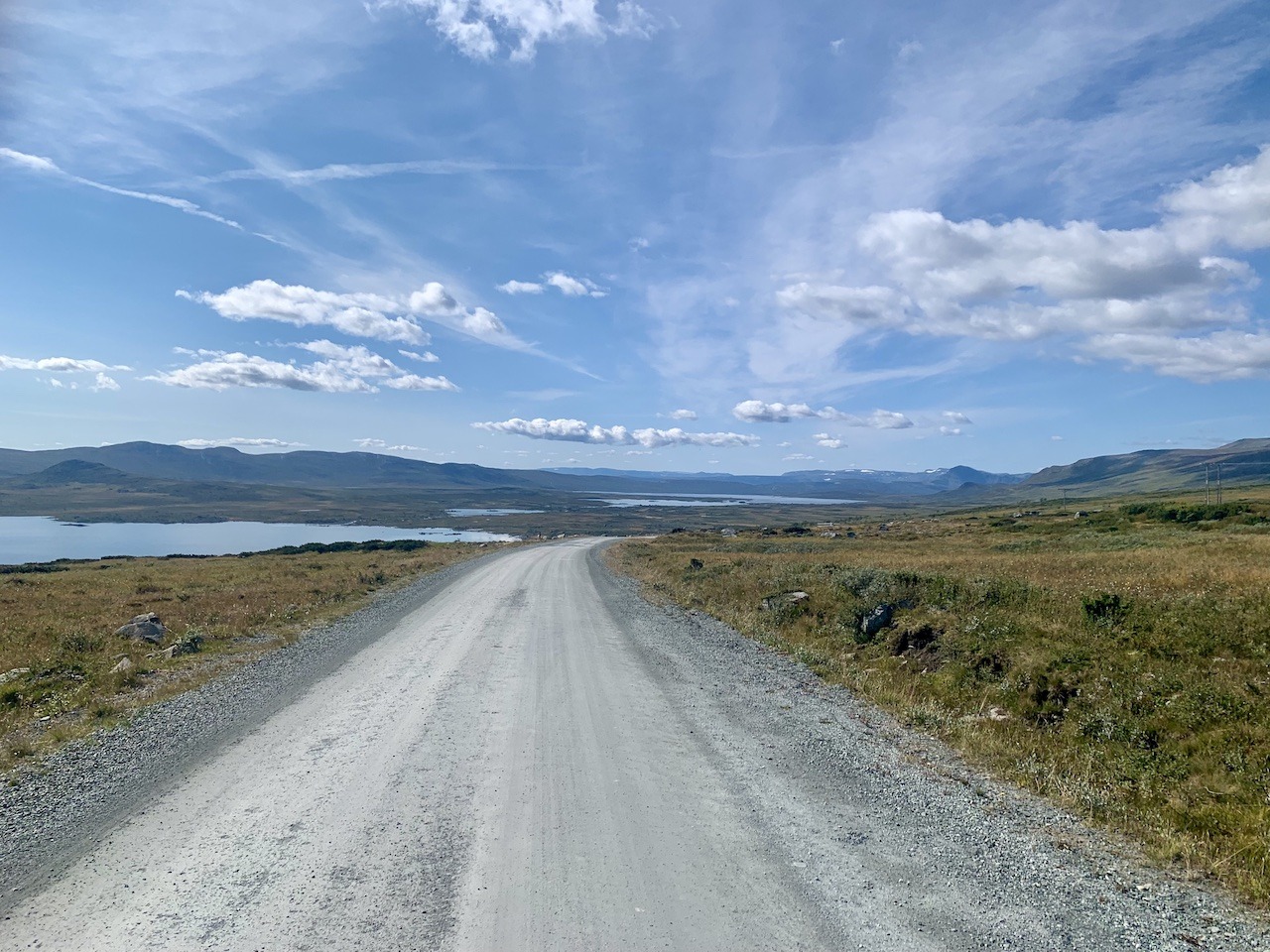
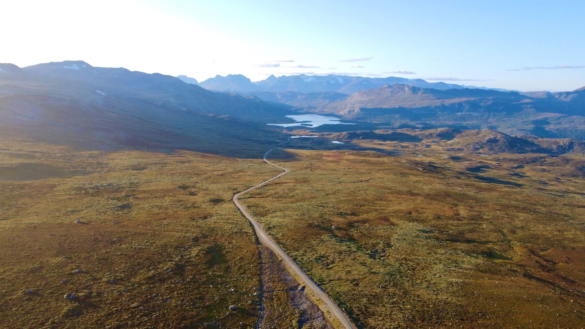
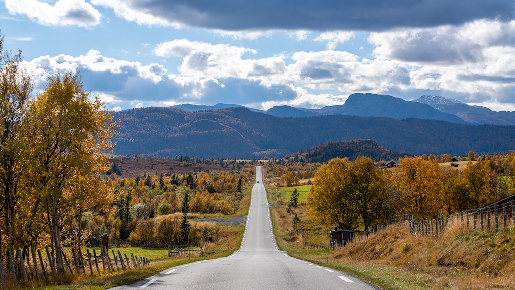
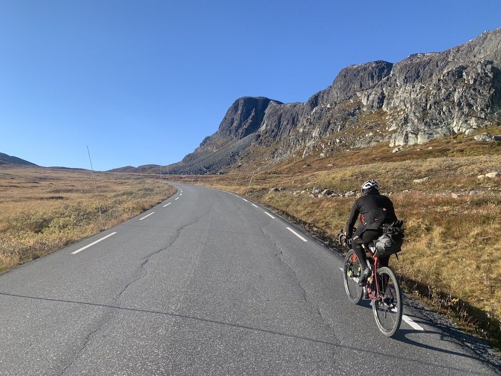
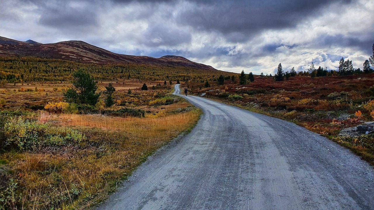
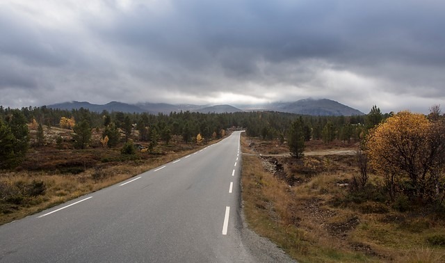
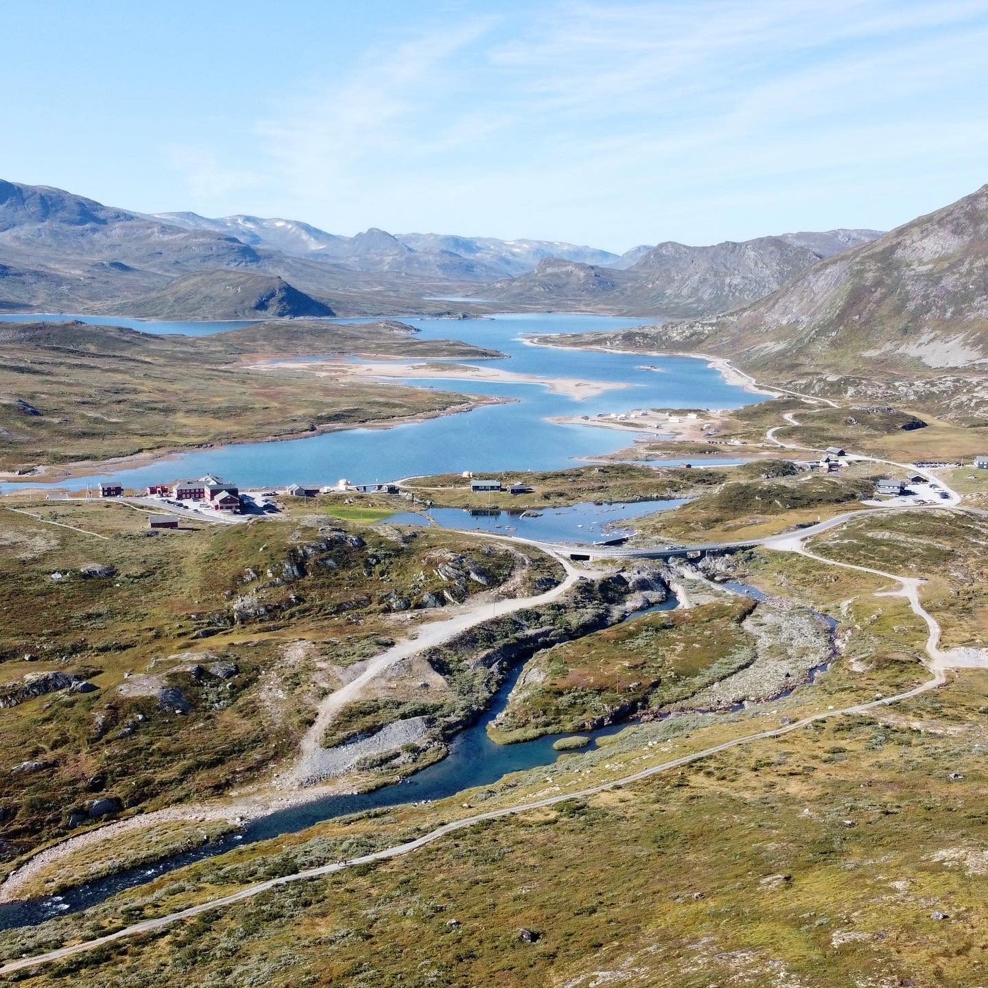
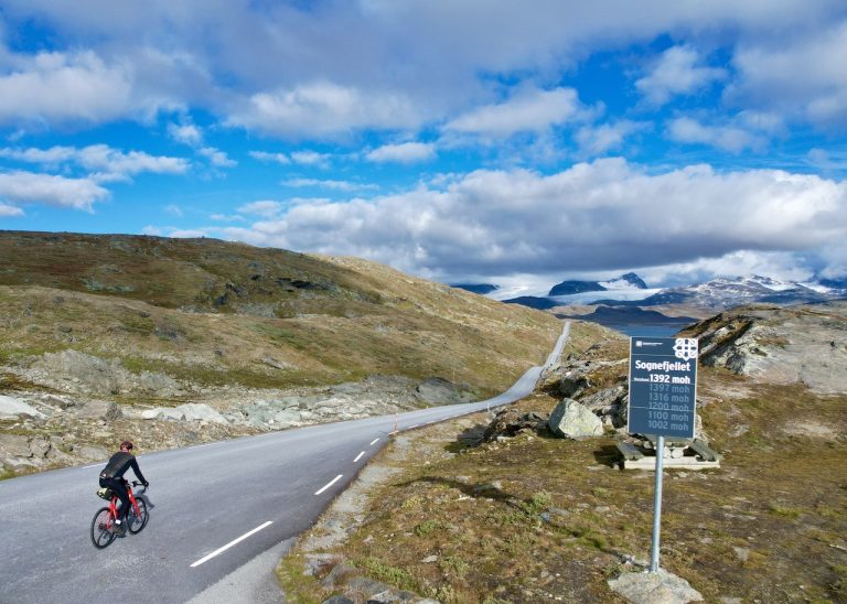
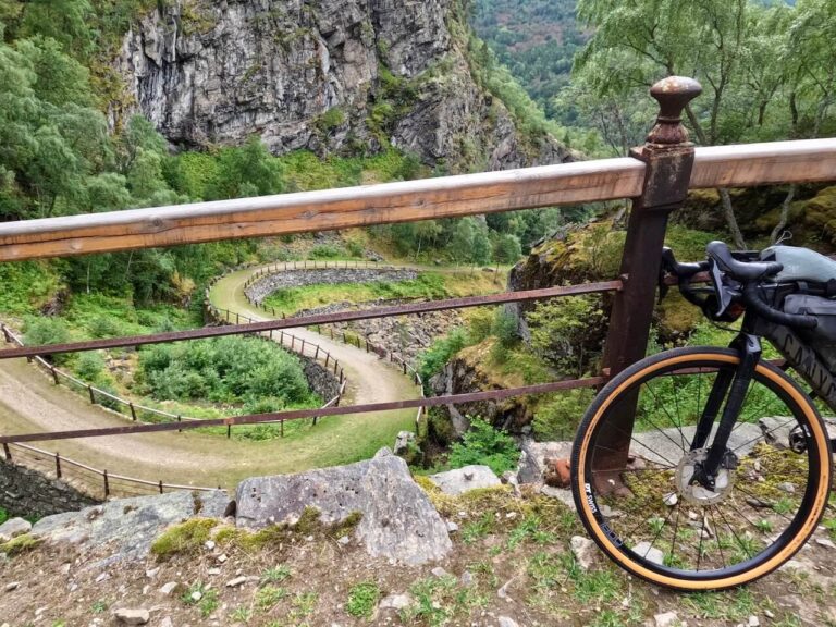
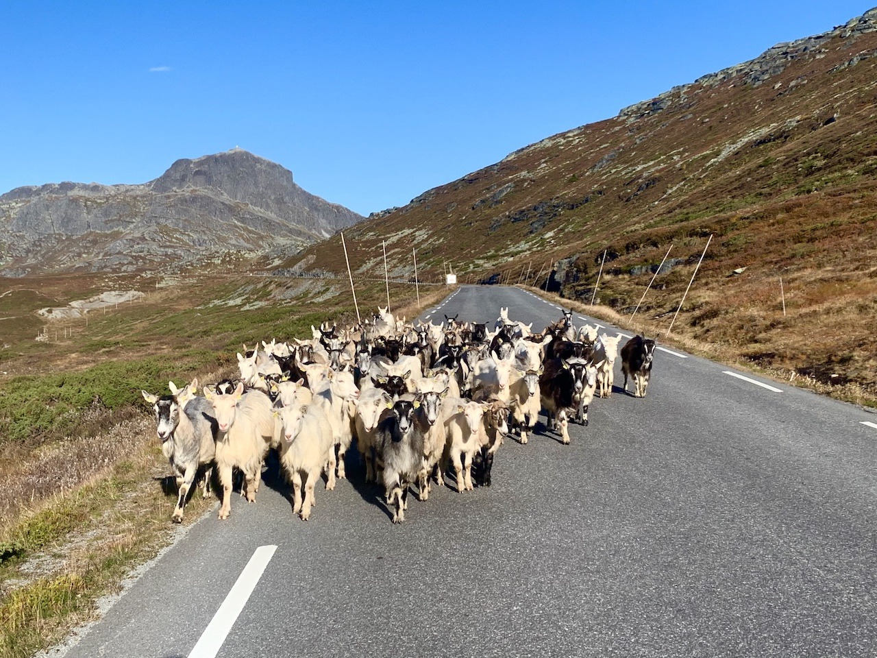
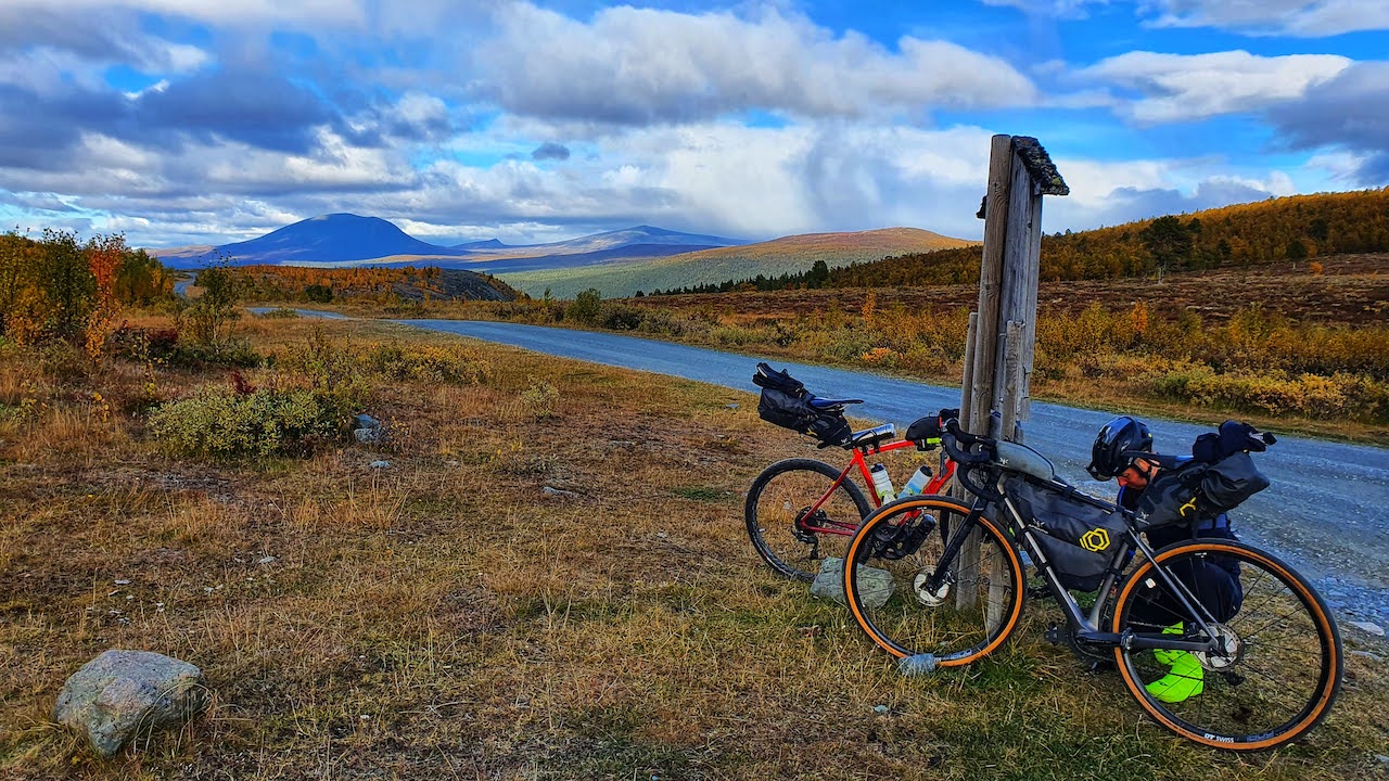
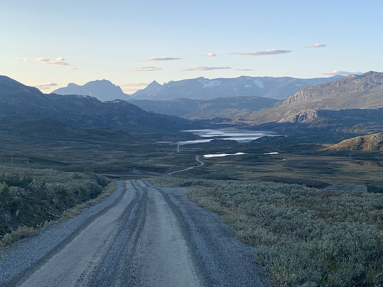
We have given this a rating of 7/10. A demanding hilly gravel section with a very tough climb up Slettefjell (south – north). The hilly environment is worth the hard work with all most no traffic on most parts and stunning views of Jotunheimen National Park. Many inexperienced cyclists tackle this route and manage to cycle all or most of it.


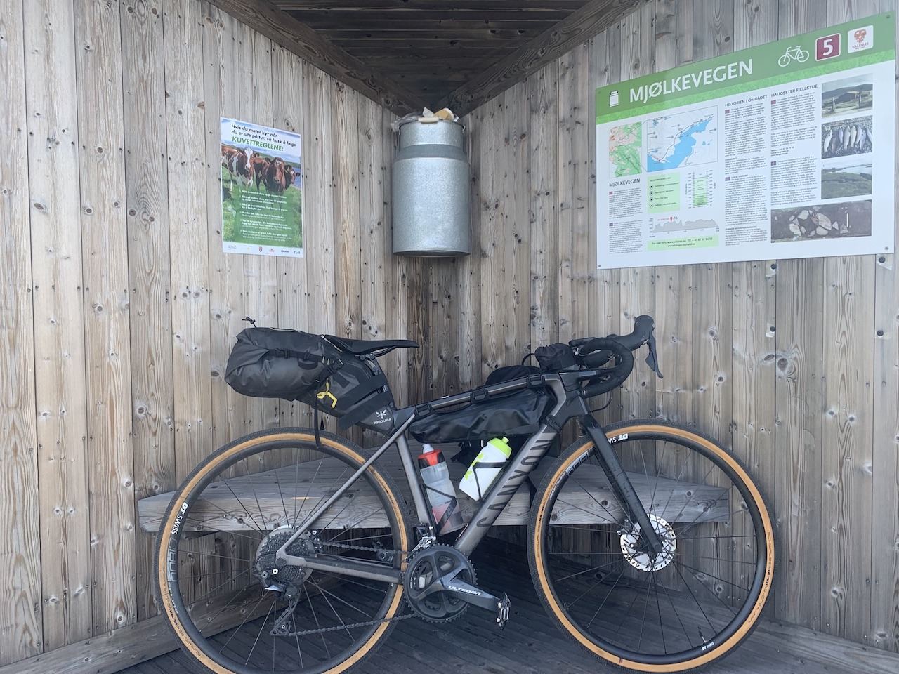
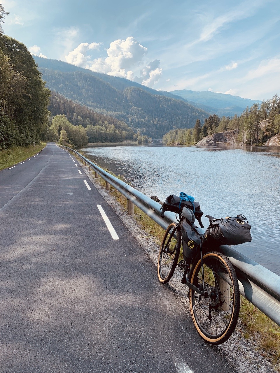
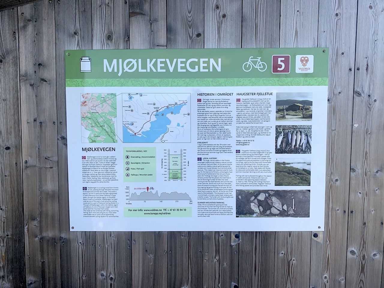
We have documented accommodation, food shops, and other important information. You can see the route is set up for bike tourists.

Peer Gynt seterveg

A great half-day gravel ride from Vinstra. Excellent to add to the finish or start of your route: https://cyclenorway.com/routes/peer-gynt-seterveg/

Highlights

Must know

  • Getting Here and Away: You can reach Larvik by train from Oslo or Stavanger (change at Nesoddtangen). You can reach Geilo or Gol using the Oslo-Bergen train line. Vinstra train station is on the Oslo – Trondheim line.
  • When to go: You can ride the first stage in May but in the highlands, Mjølkevegen (Stage 2) doesn’t open until around 20th June. If you ride it at the right time in September you’ll get amazing autumn colors.
  • Food & Supplies: There are plenty of food shops along both parts of the route. Mjølkevegen has some remote parts so ensuring you have enough snacks to get through it is important. You will find a few cabins in the mountains selling food. Expect prices to be high.
  • Water: It should be very easy to find water along the route. Churches, gas stations, supermarkets, public toilets, etc, are scattered all along the route. You’ll also have fast-flowing streams in the remote areas to keep you topped up.
  • Bike Type: You can use any type of touring bike on this route (Road, Gravel, Mountain) on the first stage. We would recommend a gravel, touring, or MTB bike with a tire size of 35-40mm for Mjølkevegen but it’s possible with 30-32mm. With plenty of climbing, you should have enough gears. I used an 11-36 cassette.
  • Many businesses are closed on Sunday: stock up on food on Saturday evening.
  • Public Toilets: You will find public toilets in the towns you pass. Expect to not find many on the open road.

Accommodation

  • Wildcamping: There are many places to wild camp on this route but there are also many farmlands where camping will be prohibited. Ensure you follow the rules and look out for signs. You will find some exciting spots by lakes or in the highlands with views to dream of. In peak, summer mosquitos will be present in the lowlands, especially in forest and lake areas. There are usually fewer the higher the attitude.
  • Campsites & Cabin: On the Norcamp app you will find many campsites scattered along this route and thus you should expect to find one every 50km or less. The exception is Mjølkevegen, where you will find some cabins (see below) but not campsites. The campsites are located on the main roads and in the town of Beitostølen
  • Hotels and Hostels: Most small towns will have accommodation options and in the larger towns of Kongsberg, Gol, Geilo, Beitstølen, and Vintra you will have plenty of options. If you can cycle around 50km in a day, It is possible to do this route with roof-only accommodation. But we recommend you book some accommodation in advance if cycling in peak summer.
  • Mjølkevegen Offical Accommodation options
  • Airbnb: There are options along the route mainly in the towns.
  • Lastly, there are some traditional old hotels and farm houses especially along  Numedal – Middelalderdalen.

Video

Transport

  • Trains: There are train stations at the start and finish lines in Larvik, Gol, and Vinstra. However, with the exception of Geilo – Gol there are no train lines close to the route as you cycle it.


  • No Ferries on this route


  • Buses:
    • For the southern part of the route local bus for the Vestfold region can be found here and for the Kongsberg region here 
    • For the north, Innlandstrafikk is the main bus company that is in operation. This is a good map of where you can catch a local bus if required. Many of the local buses will allow a bike on board (child fare). Some long-distance buses may refuse bikes.
    • Valdresekspressen runs up to eight times daily from Oslo to Fagernes, with connecting services to Beitostølen (Gjendesheim in summer) and Årdal via Tyinkrysset. Departures are also from the DFDS/Stena Line and Color Line ferry terminals as well as Sandvika station. A bike can be booked during the online booking process (270kr).
    • Øst-Vest Xpressen runs once a day between Lillehammer and Bergen via Fagernes and Tyinkrysset (corresponds with Valdresekspressen at Fagernes). A bike can be booked during the online booking process (270kr).

Safety

Tunnels

There is just one 52m tunnel on the whole route.

Busy Roads

Road 40 and 51: This is a very safe route. Only a short section on roads 40 and 51 may have some (but not many) cars and campervans passing you. Overall, this is a very convenient route for traffic, and you will find yourself on empty roads in many sections.

The Weather

On this route, you will encounter two main climate and weather patterns. The south is characterized by warm and mainly dry weather. As you cycle further north and climb up the highlands, expect a different world. The temperatures may drop and the weather may become more unsettled. You may have warm and sunny weather on Mjølkevegen, but you must prepare for cold and possibly wet weather over the mountain passes and highlands. Water/windproof gear is essential if the weather is unsettled. Gloves should also be in your bag even in peak summer.

Further Reading

Clothes List

Public Transport

Gear list

Opening & closure of roads

Accomodation

Finnmark too has a certain mystique. Being about the same distance from Oslo as Istanbul, in some ways, it’s basically the last stop before the North Pole. The undoubted highlight of the journey is simply cycling the wild expanse of Europe’s last great wilderness. It will feel very lonely up here but isn’t that a reason to cycle it? The cycling heat maps of the world are full of well-ridden roads. Here you will join a small group of cyclists seeking something extraordinary. Passing wild herds of reindeer and perhaps not seeing another human for many hours is why you came – right? The ride comes to an end in the town of Kirkenes which has Russian road signs. This will indicate you have reached the boundaries of the Western world!

Transport

Finnmark too has a certain mystique. Being about the same distance from Oslo as Istanbul, in some ways, it’s basically the last stop before the North Pole. The undoubted highlight of the journey is simply cycling the wild expanse of Europe’s last great wilderness. It will feel very lonely up here but isn’t that a reason to cycle it? The cycling heat maps of the world are full of well-ridden roads. Here you will join a small group of cyclists seeking something extraordinary. Passing wild herds of reindeer and perhaps not seeing another human for many hours is why you came – right? The ride comes to an end in the town of Kirkenes which has Russian road signs. This will indicate you have reached the boundaries of the Western world!

Terms of use

Keep in mind

All cycling routes published on CYCLENORWAY.com are simply a planning resource to be used as a point of inspiration in conjunction with your own due-diligence. All route guidelines were prepared under diligent research. However, we can never for certain insure the complete accuracy of the routes. Cycling in Norway is in general very safe. Nevertheless, should you choose to cycle this route you do so at your own risk.


Check weather conditions

We advise that you check weather conditions along the route and look out for land/road closures. 

Check out this helpful video to see how the routes can be uploaded onto your mobile device and cycling computer.

Cycling long distance is tough, and you should not attempt routes that are beyond your level. 

Follow all rules and regulations when wild camping. 

If you discover any inaccuracies on this page, please let us know so we can correct them.

More routes in the area

The Pilgrim Route

This is less a bike route and more a journey into the past as you follow in the footsteps of Norway’s great Viking King Olaf II. The route takes you up the historic valley of Gudbrandsdalsleden and ends at the 1000-year-old Nidaros Cathedral in Trondheim

The Pilgrim Route

This is less a bike route and more a journey into the past as you follow in the footsteps of Norway’s great Viking King Olaf II. The route takes you up the historic valley of Gudbrandsdalsleden and ends at the 1000-year-old Nidaros Cathedral in Trondheim

Sognefjellsveien

This epic across Norway is the perfect route if you want to see as much contrast in scenery in the shortest space of time. Deep valleys, powerful glaciers, Nordic forests, and one of Norway’s best fjords are on show.

Sognefjellsveien

This epic across Norway is the perfect route if you want to see as much contrast in scenery in the shortest space of time. Deep valleys, powerful glaciers, Nordic forests, and one of Norway’s best fjords are on show.

Hallingdal & Rallarvegen

This is a bikepacking paradise where nature, gravel, and road combine to give you an experience unlike everything else.

Hallingdal & Rallarvegen

This is a bikepacking paradise where nature, gravel, and road combine to give you an experience unlike everything else.

Leave your thoughts below

Stay up to date with the latest from Norway’s cycling scene.

Subscribe To Our Monthly Newsletter

non-intrusive, offering informative news, blog posts, videos, and more.