


474 km
Distance
8500m
Dénivelé positif
3-8
Jours
80%
Non pavé
8/10
Difficulté
40-50 mm
Types Idéaux
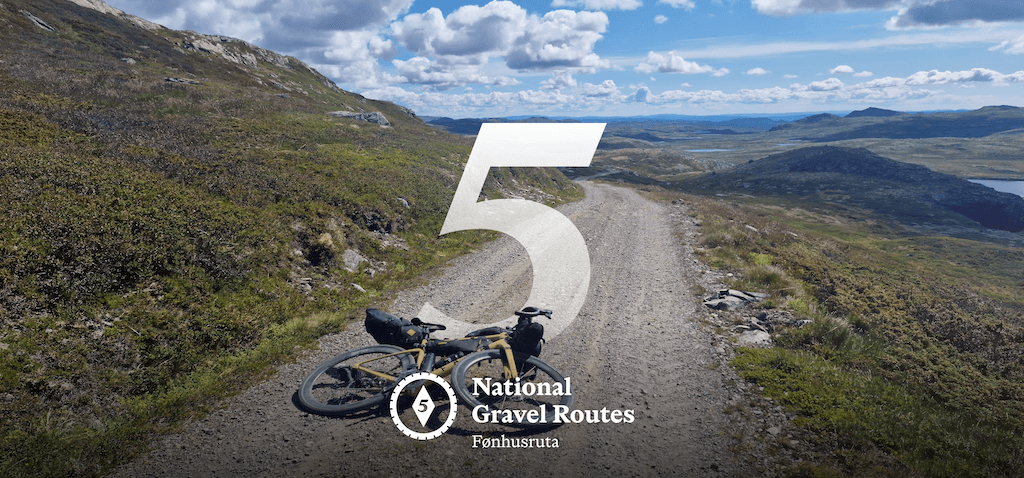
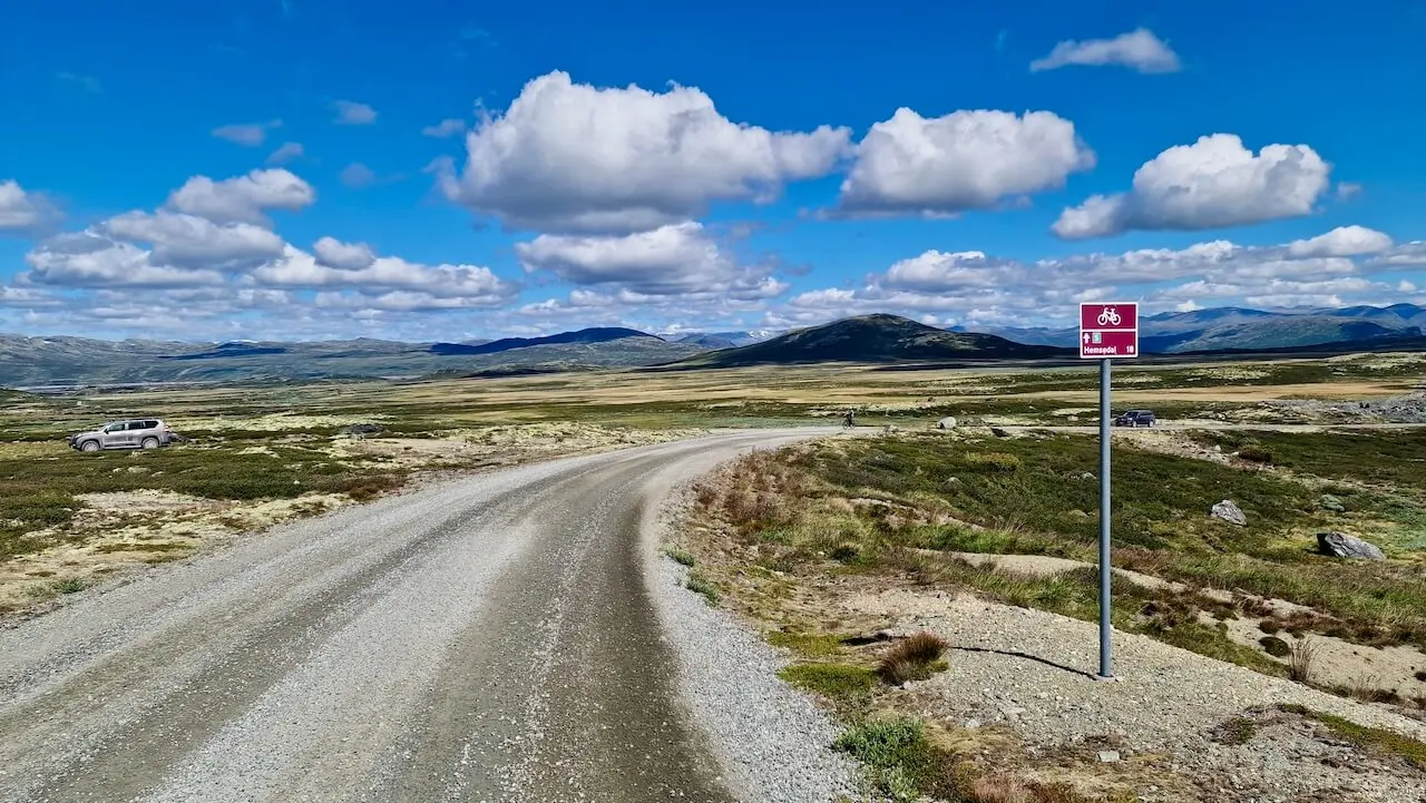
Route nationale de gravier 5 : Fønhusruta
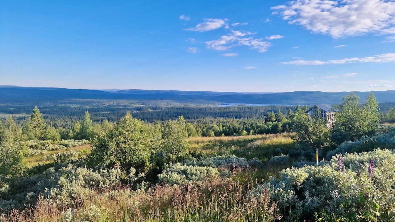
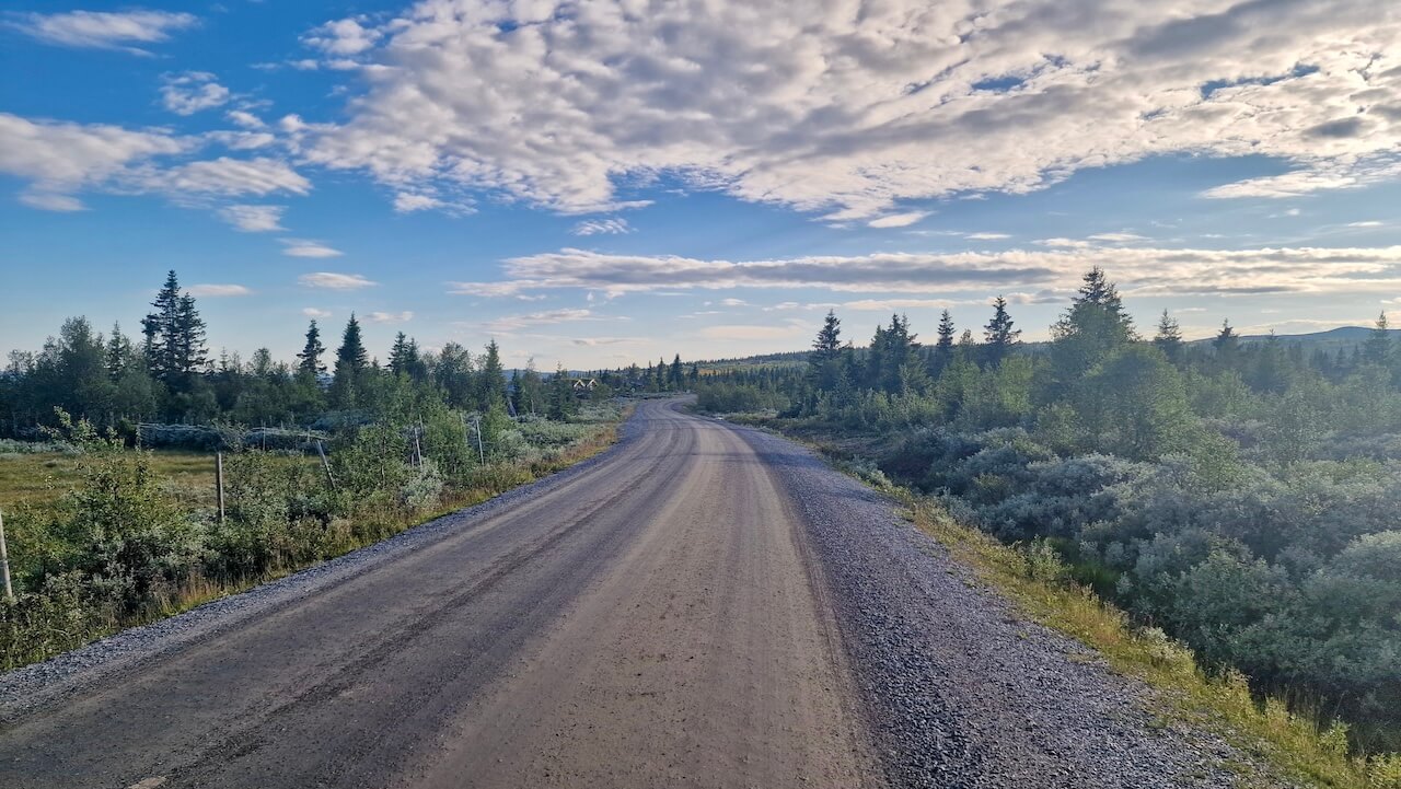
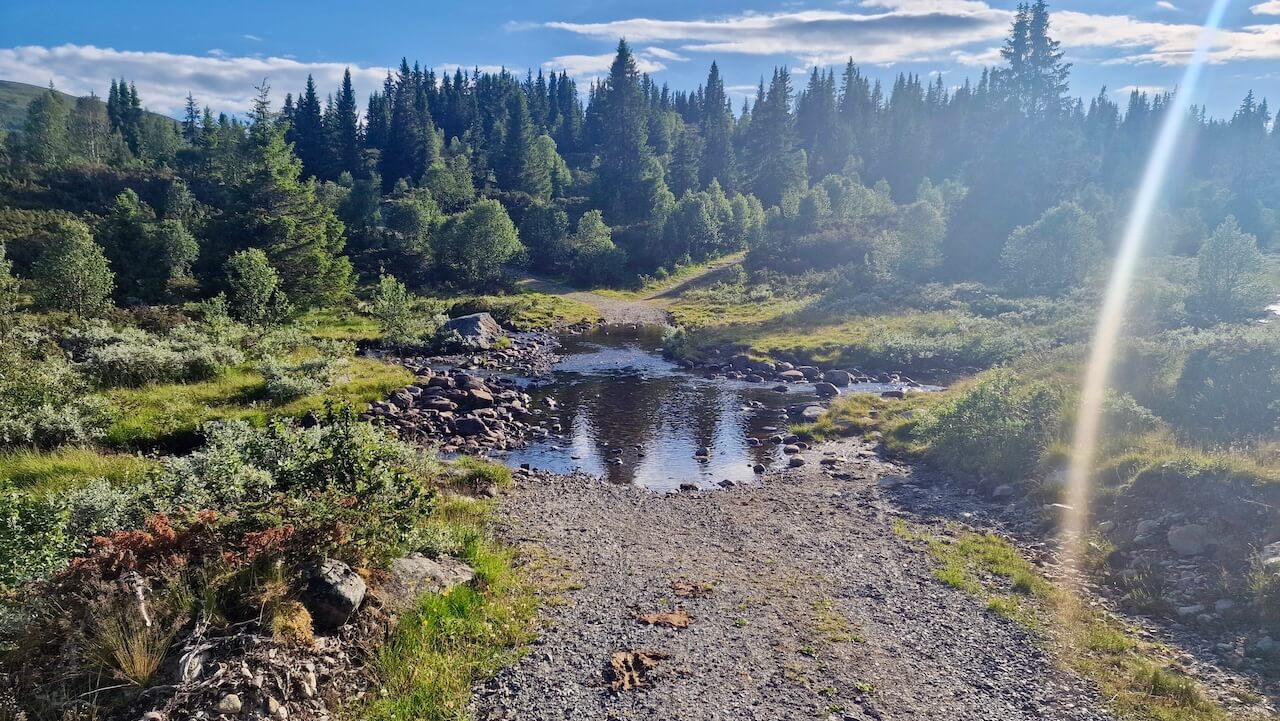
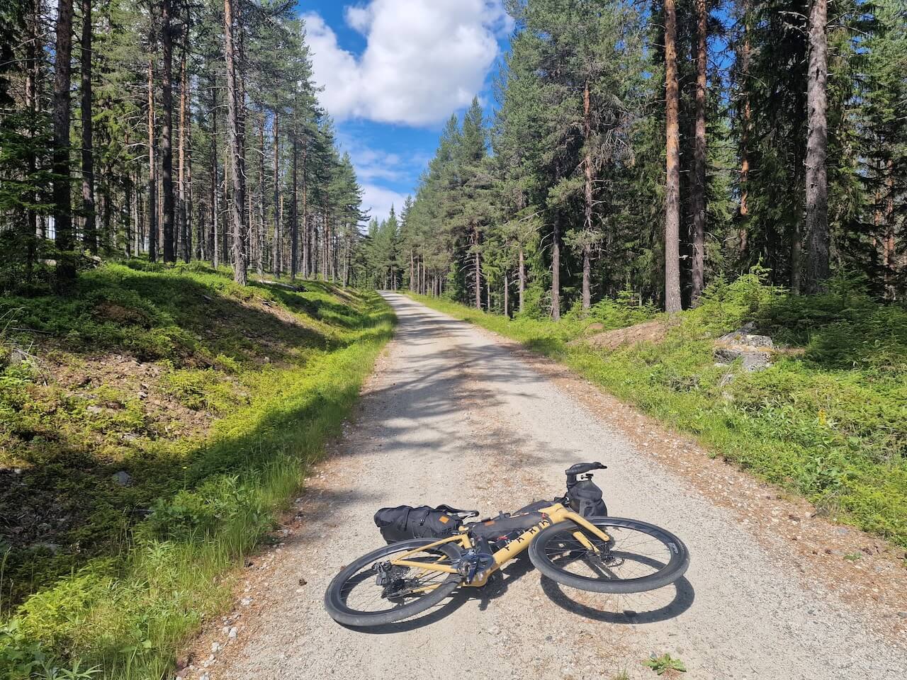
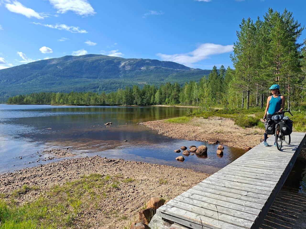
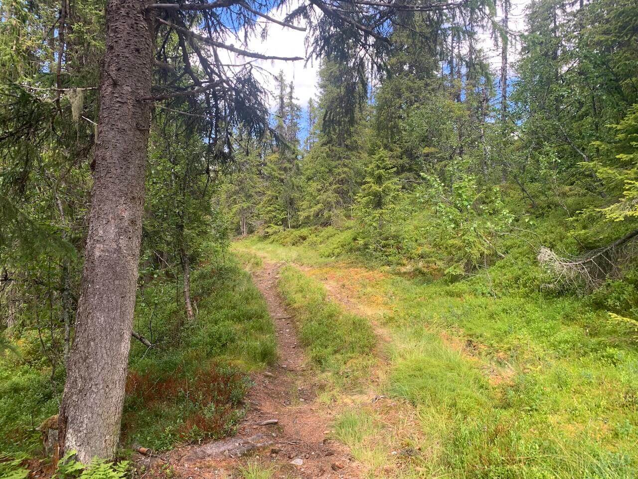
Route 5 leaves Oslo along the historic King’s Road through Lommedalen towards Hønefoss, following a route once used by kings, traders, and officials long before modern transport existed. Leaving the lowland forests behind, the route gradually enters the quiet valleys of Vassfaret and Vidalen, where forestry, timber floating, and resistance activity during the Second World War have all left their mark.
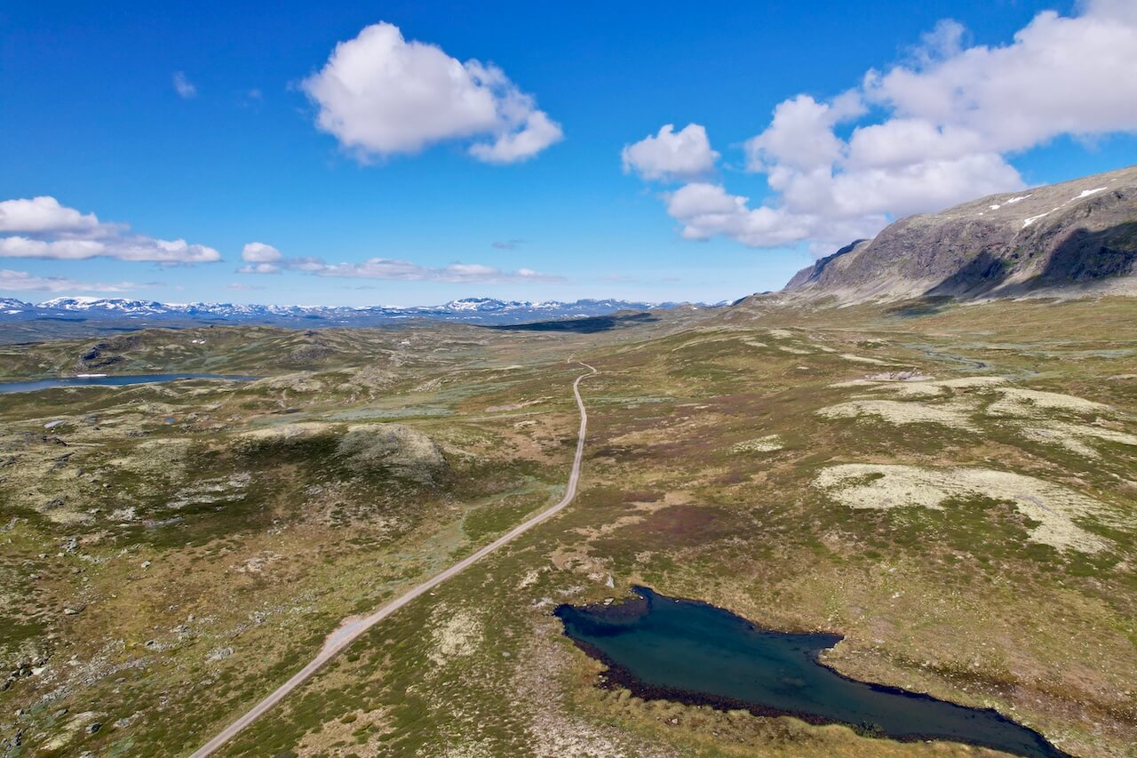
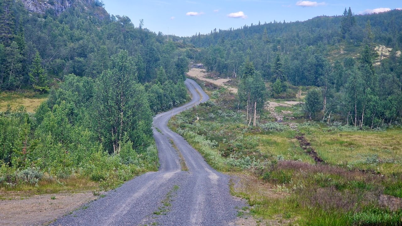
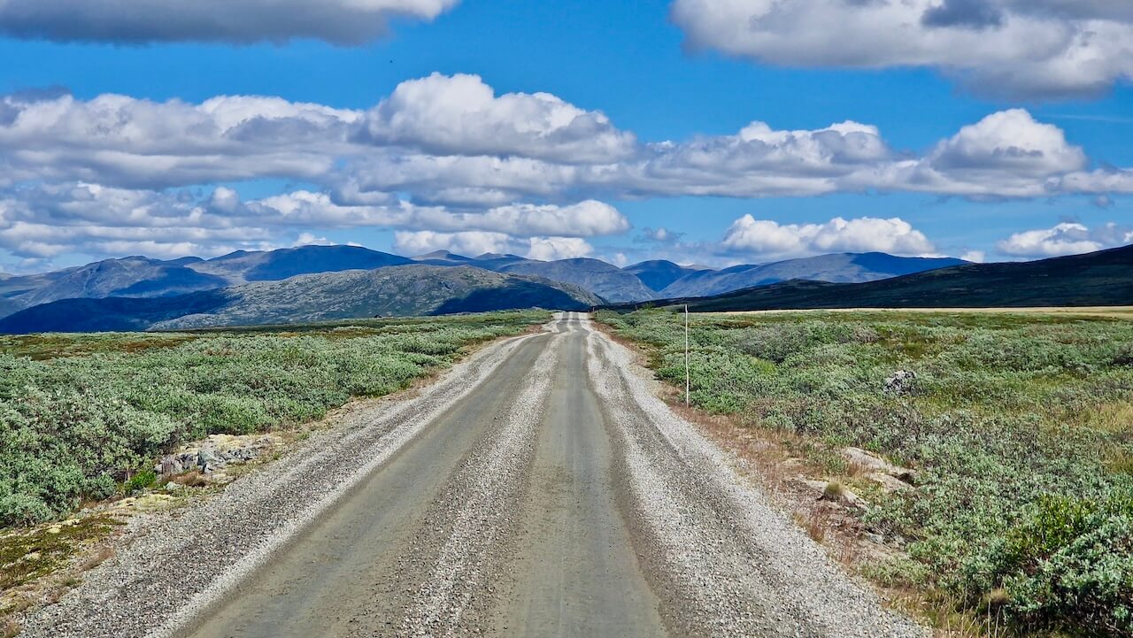
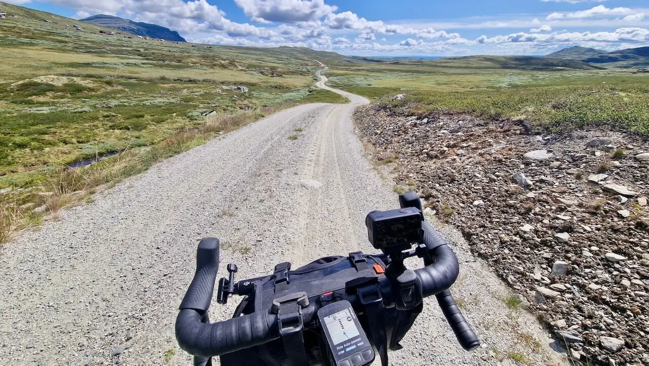
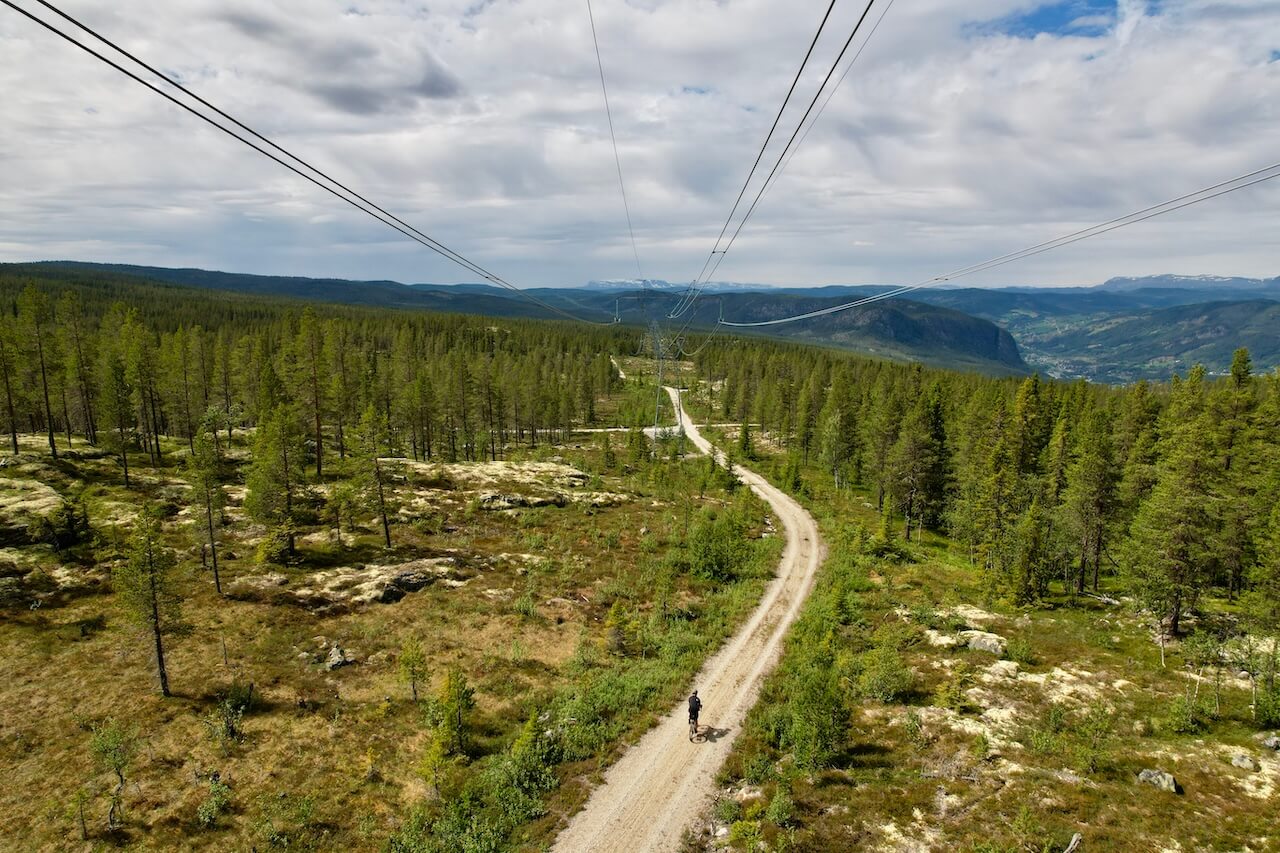
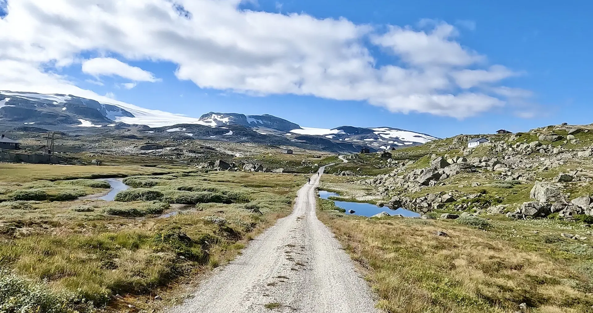
Further north, the landscape begins to open as you enter Hallingdal, where Gol and Ål act as gateways to a high mountain gravel loop connecting Ål, Hol, Hemsedal, Gol, and Torpo. Here, dam roads, old farm tracks leading to mountain pastures, and long gravel forest roads reveal a landscape shaped by hydropower, farming, and more recently, tourism. The route eventually returns to Ål or Nesbyen, completing a journey that moves from royal roads and hidden valleys to high mountains, modern infrastructure, and some of southern Norway’s finest gravel riding.
Carte routière
Quand ?
- Stage 1: This section should normally be snow-free by June, and potentially earlier depending on spring temperatures and snowmelt.
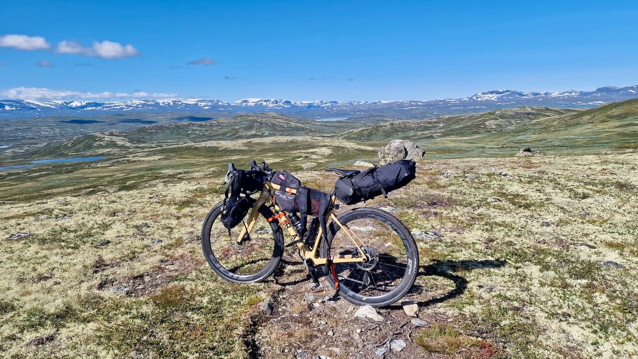
- Stage 2: This section climbs above 1200m in places. A completely snow-free route should not be expected until mid to late June, although conditions vary from year to year.
Getting there?
You can start this route in Oslo, Hønefoss, Nesbyen, Gol, or Ål, all have a train station that the Oslo-Bergen train stops at. Book using the Entur app.
Dangers
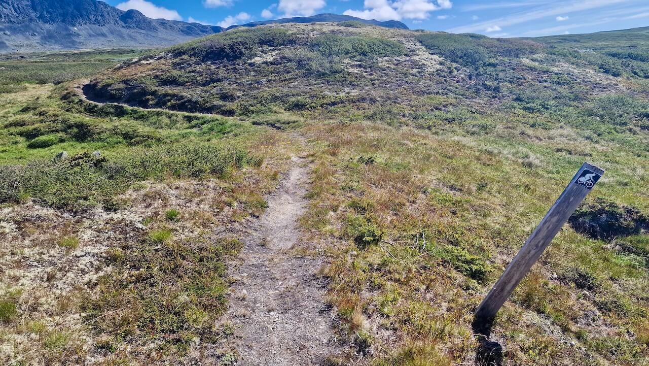
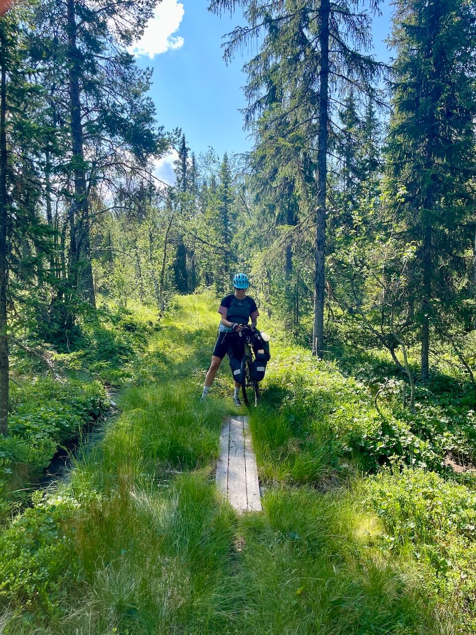
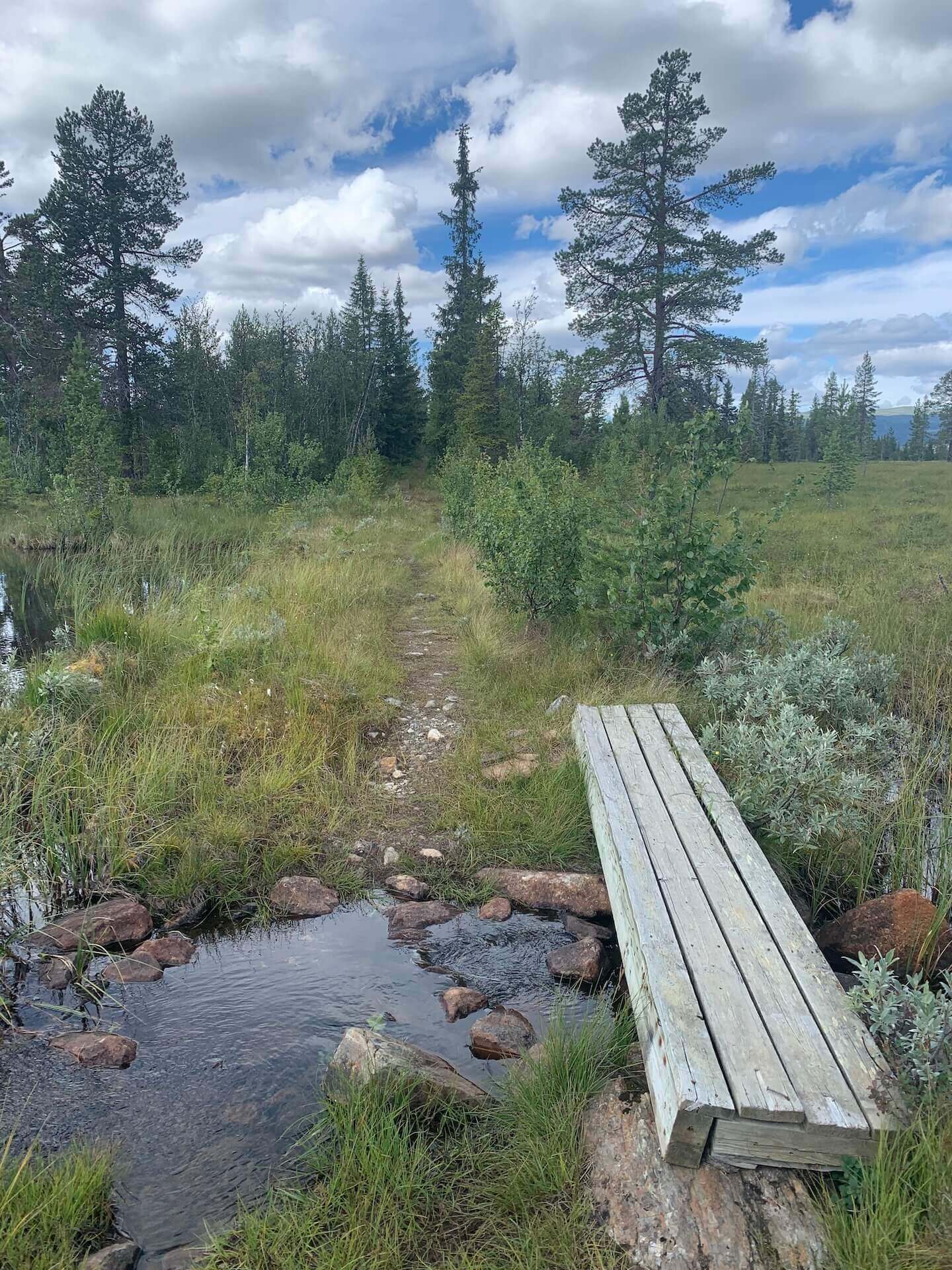
- Stage 1: There are sections of singletrack and short hiking trails where you may need to get off and push your bike.
- Stage 2: A 3.5km hike-a-bike section at 1200m requires pushing or carrying your bike for most of the way. Expect wet, boggy terrain in places. Avoid this section in poor weather.
Bike Rental
Gol/Nesbyen
- A good overview of all options available in the surrounding Hallingdal area.
Oslo
- Sorensen Sykler Oslo (Gravel): https://www.sorensensykler.no/
- Oslo Velo (Gravel): https://oslovelo.no/pages/sykkelutleie
- Rouleurs of Oslo (Gravel): https://www.rouleuroslo.no/
- Oslo Bike Rental (MTB, Road, E-bike & Gravel): https://oslobikerental.no/

Done Mjølkevegen and Rallarvegen? Then this is what you ride next.
Recommandations locales
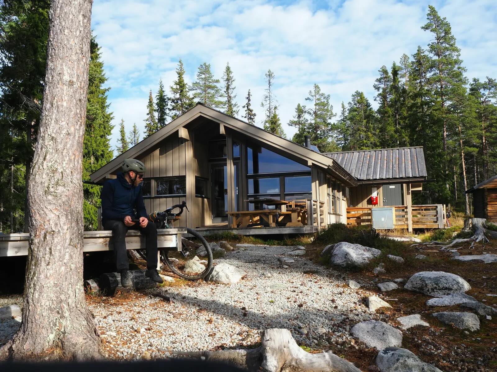
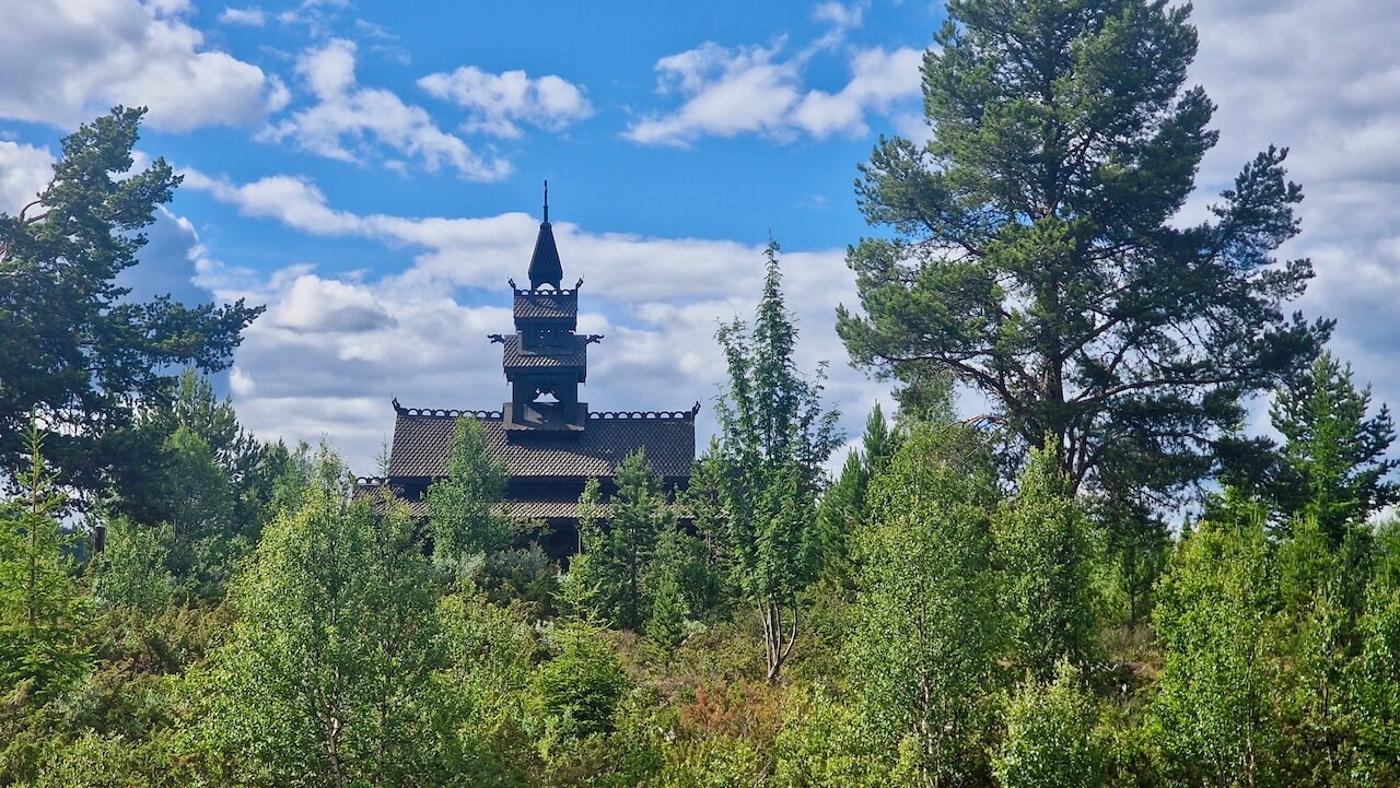
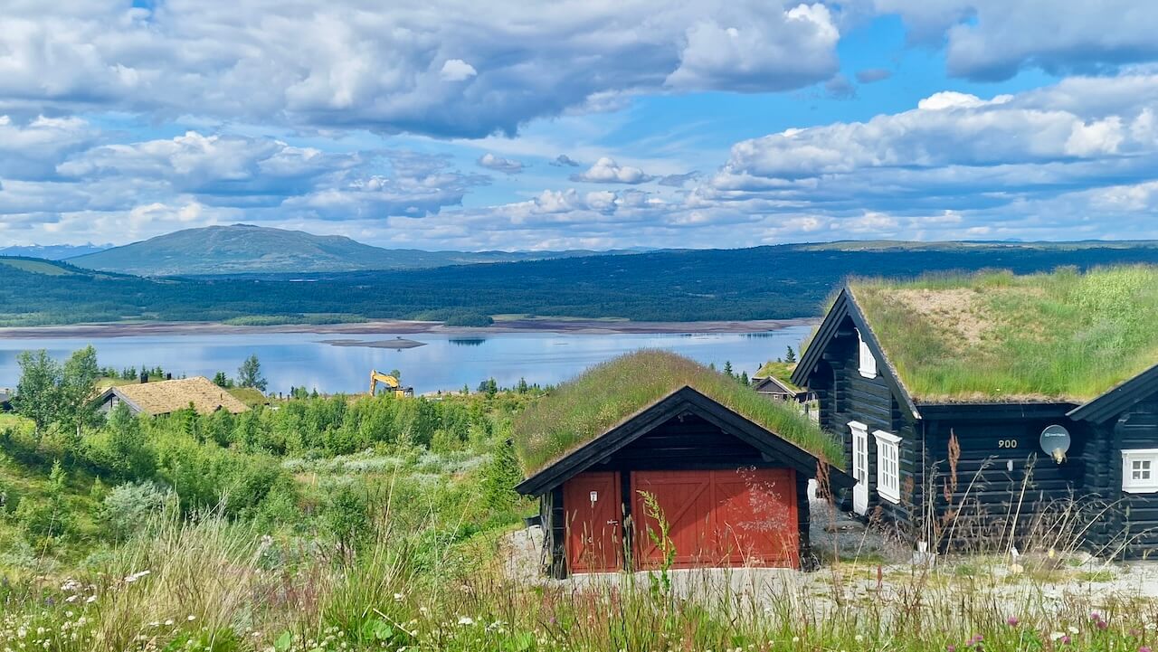
The Fønhus Cabin
The Fønhus Cabin is named after writer and cyclist Mikkjel Fønhus, whose stories helped shape how generations of Norwegians viewed wilderness and nature. A strong critic of roads, cars, and hydropower development, Fønhus spent much of his life exploring these valleys. The cabin is a must-stop along the route and an ideal place for your first night.
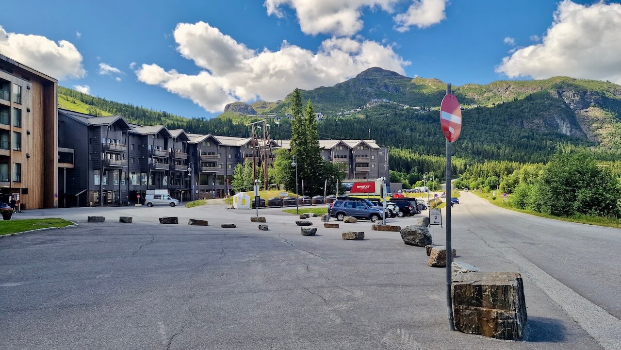
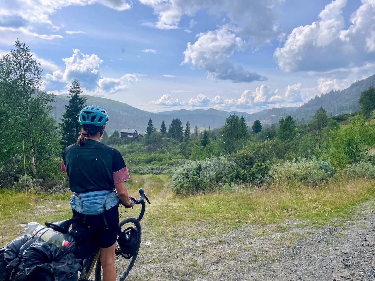
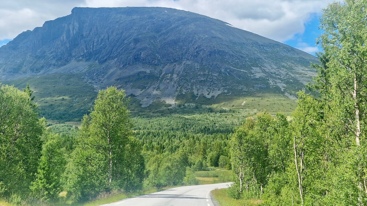
Hemsedal Ski Town
For the bikepacker passing through, Hemsedal is more than just a dot on the map; it’s a welcome pause in the high mountains. This alpine village offers everything a weary cyclist might need: a well-stocked grocery store, good coffee, and a chance to rest the legs without losing the sense of adventure. If you’re staying the night, take the ski lift and ride one of the purpose-built mountain bike trails or spin out your legs along quiet gravel roads leading into side valleys.
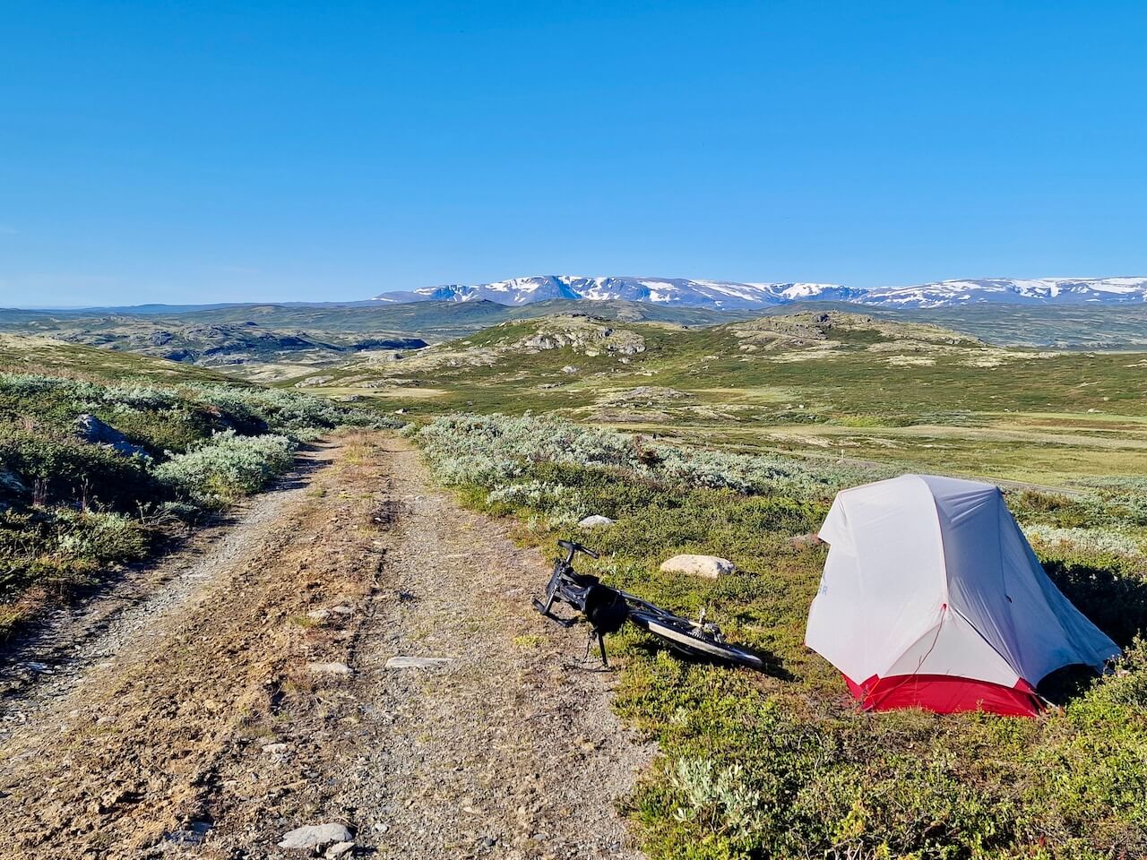
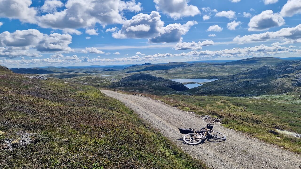
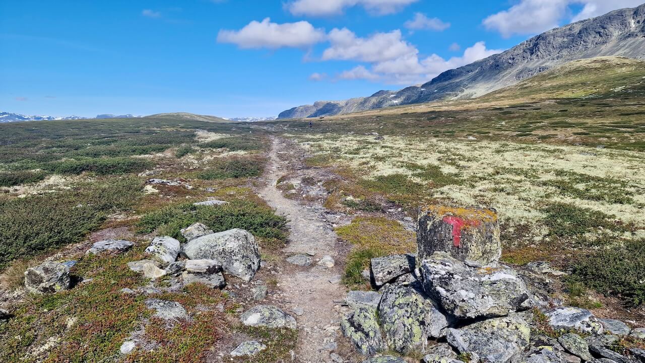
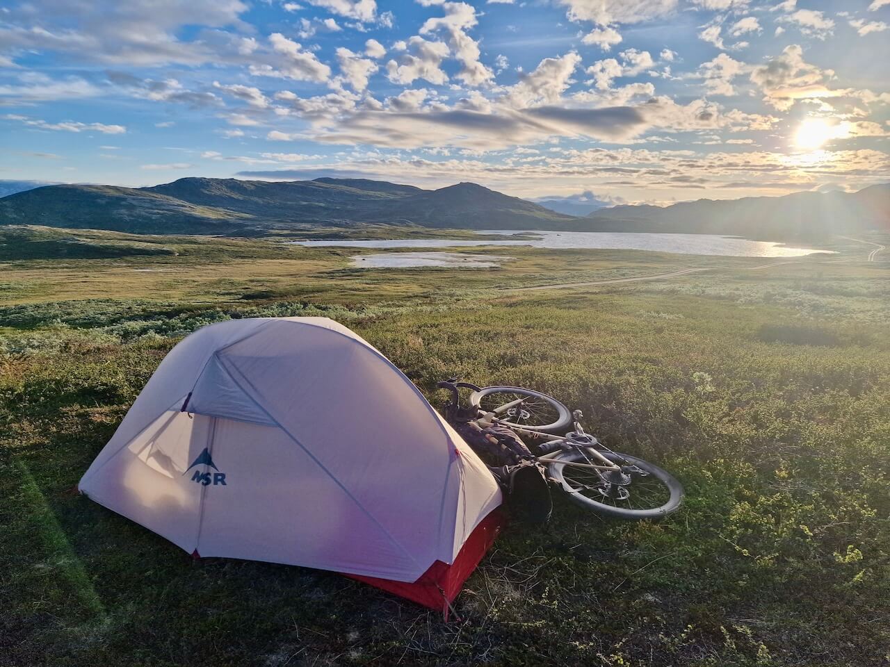
Wild Camping on Hallingdal Plateau
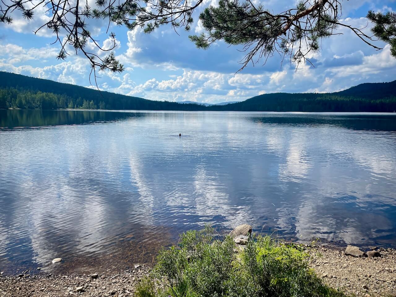
It’s a challenging climb up onto the plateau, and by the time you reach the top and cycle the gravel roads along large hydro lakes, you might feel you want to make the most of this experience. There are private cabins in the area, so ensure you are at least 150m away and pitch your tent in a wild and remote environment. Isn’t this what bikepacking is all about?
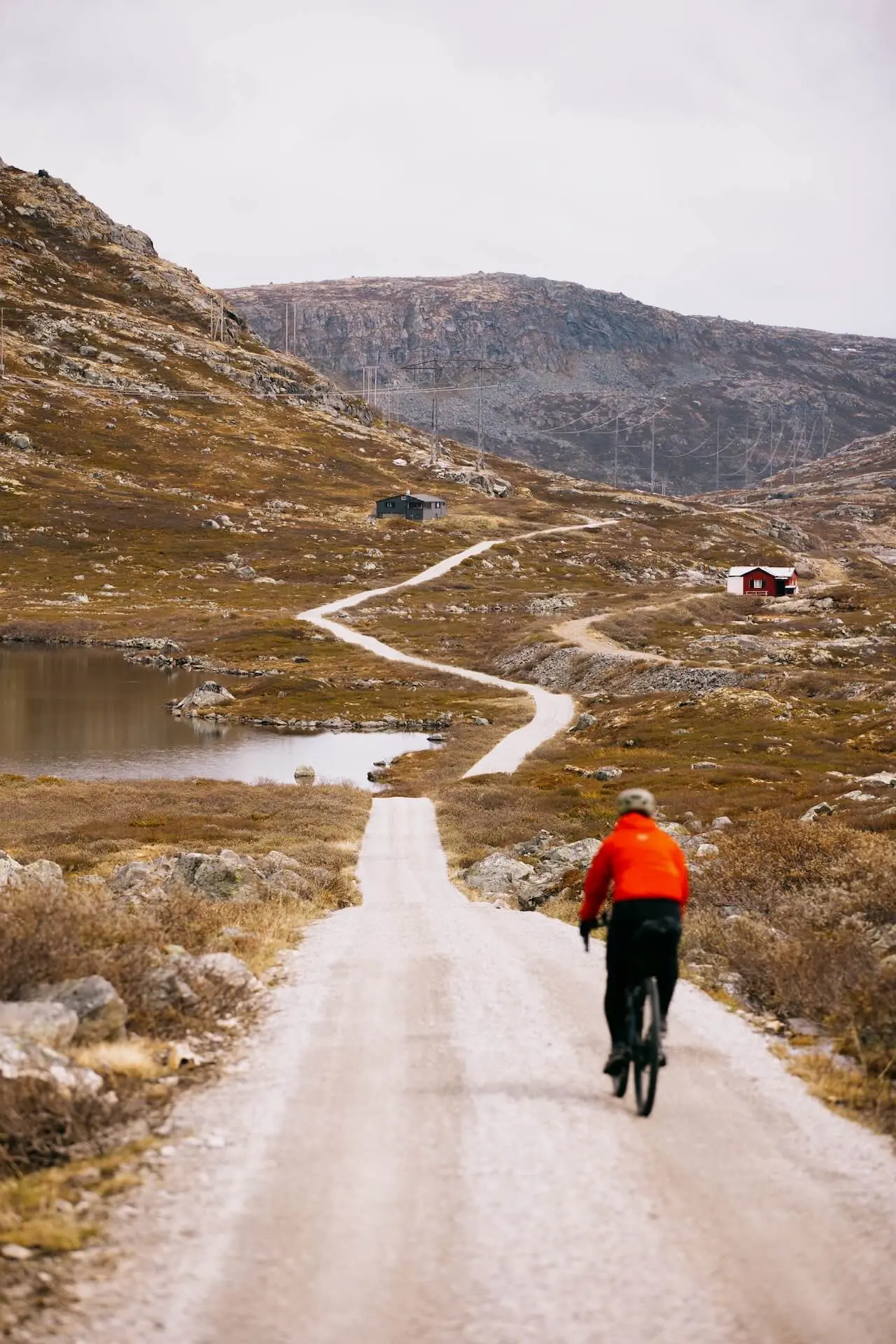
Panaroma Road
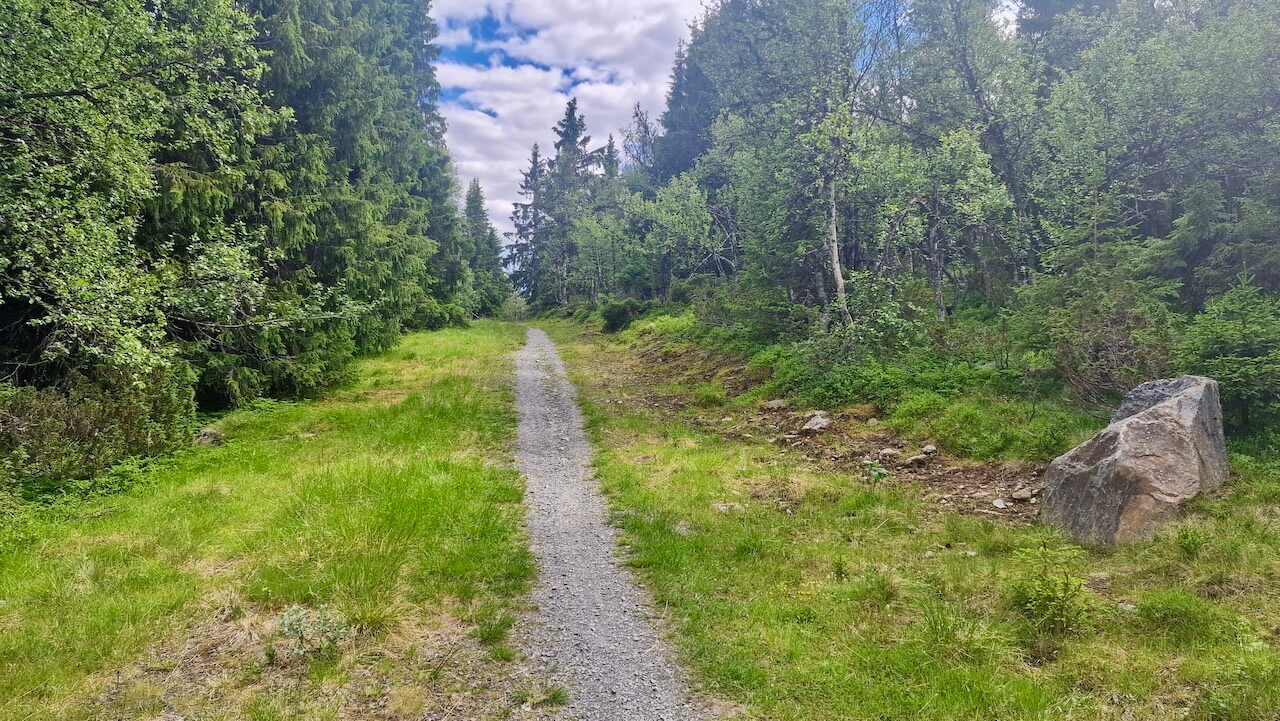
Cycling Norway’s Panorama Road is a dream ride for bikepackers, starting on smooth asphalt, then escaping the buzz of cars for a breath of fresh solitude on a hidden single‑track section. That narrow trail winds through alpine pastures and birch woods, giving you quiet time and scenic reward. It’s that blend of polished route and secret off‑road detour that makes this stretch unforgettable.
Liens utiles
Booking.com – pour les options d'hébergement dans toute la Norvège
Application Entur – pour planifier des trajets en transports en commun en Norvège
Ferry – itinéraires, horaires et informations par Statens Vegvesen
Étiquette du camping sauvage important à savoir
Lectures complémentaires
Garder à l'esprit
Tous les itinéraires cyclables publiés sur CYCLENORWAY.com sont destinés à des fins de planification et d'inspiration, à utiliser en complément de vos propres recherches et de votre jugement. Les itinéraires sont créés à l'issue de recherches approfondies, mais chaque cycliste a des capacités, des attentes et une tolérance au risque qui lui sont propres. Certains itinéraires peuvent inclure des sections où il faut porter le vélo, des sentiers boueux ou humides, des terrains techniques, des montées abruptes, des descentes ou des zones isolées qui pourraient ne pas convenir à tous. Les données d'itinéraire, les logiciels de cartographie et les conditions peuvent également changer ou contenir des inexactitudes. Le cyclisme en Norvège est généralement très sûr. Néanmoins, si vous choisissez de suivre ces itinéraires, vous le faites à vos propres risques.


Laisser un commentaire