


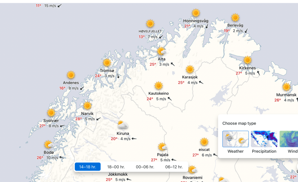
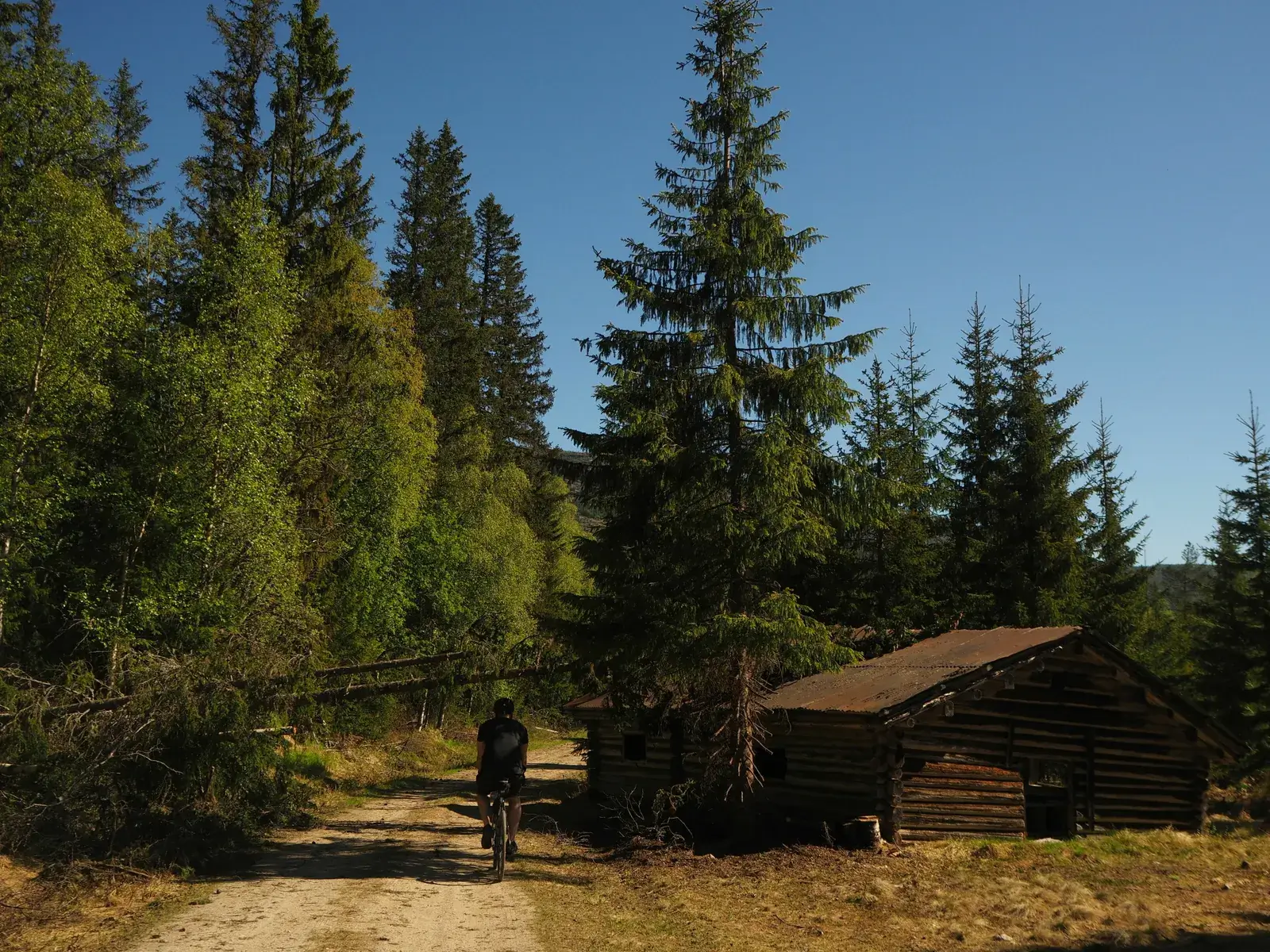
Norway is a long-stretched-out country. Oslo to Nordkapp is the same length as Oslo to Rome. As a result, there is a good chance the sun is shining somewhere, even if the weather looks mainly unsettled. I have noticed a weather phenomenon that can occur occasionally, bringing low pressure below the Arctic Circle and high pressure above it. In early August, this is precisely what happened.
My view when it comes to planning a cycling route in Norway is to add flexibility where possible. With over 140 routes on the site, getting inspiration in different locations is easy if the weather interferes with your original plan.
Indeed when my trip to Jotunheimen National Park was postponed due to bad weather, I looked at alternatives. When I saw the weather in the North, I started checking flights and train prices immediately. Of course, they were high for a last-minute booking.
It is easy to say this is beyond my budget and close your laptop, but I could die tomorrow. I believe some things are worth blowing your budget for. Adventure, travel and experience are three things I’m willing to overspend on. You won’t find me blowing my budget on a new microwave or breakfast table!
Within 24 hours, my cycling buddy Eirik and I had booked flights, accommodation and planned our route and were on a plane to the far north of Norway. Life can sometimes be quite simple if you make decisions and just go for it!
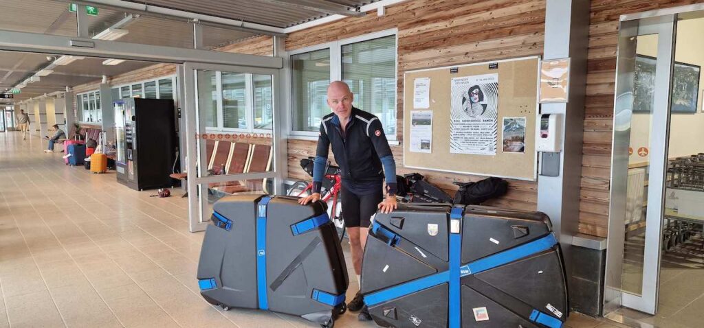
Eirik at Kirkenes Airport
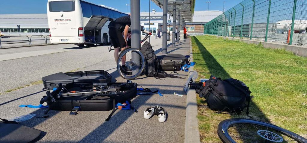
Kirkenes Airport with the bikes.
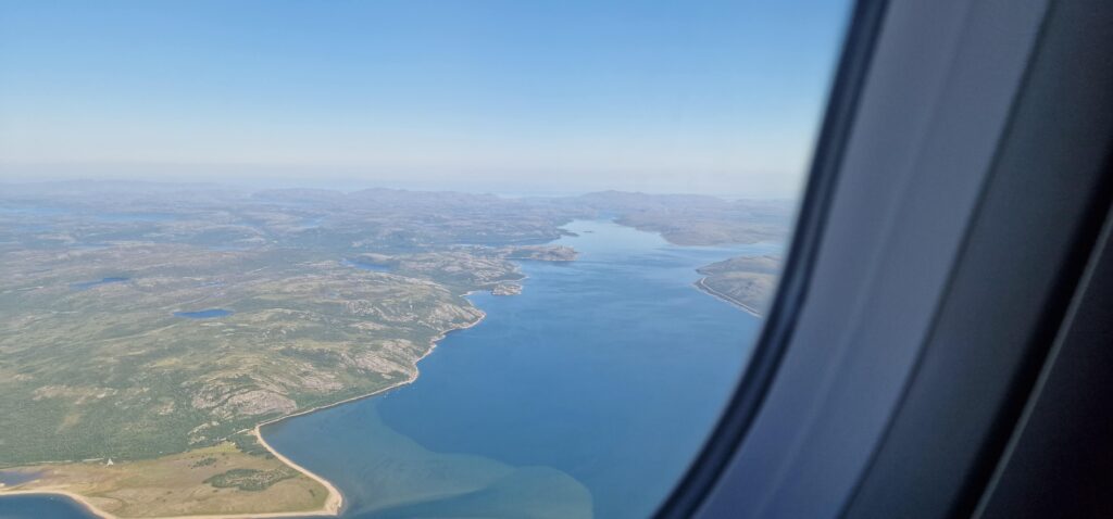
We were flying to Kirkenes, which is the farthest eastern town in Arctic Norway, right next to the Russian Border. I had never been this far east before and was excited to experience it in good weather. However, we needed a loop journey from the airport. I looked at the ‘Norse Loop Series’ for inspiration. The Finnmark Loop I have for some time fancied cycling: It includes both road and gravel with light traffic throughout. But it was too long; We only had four days.
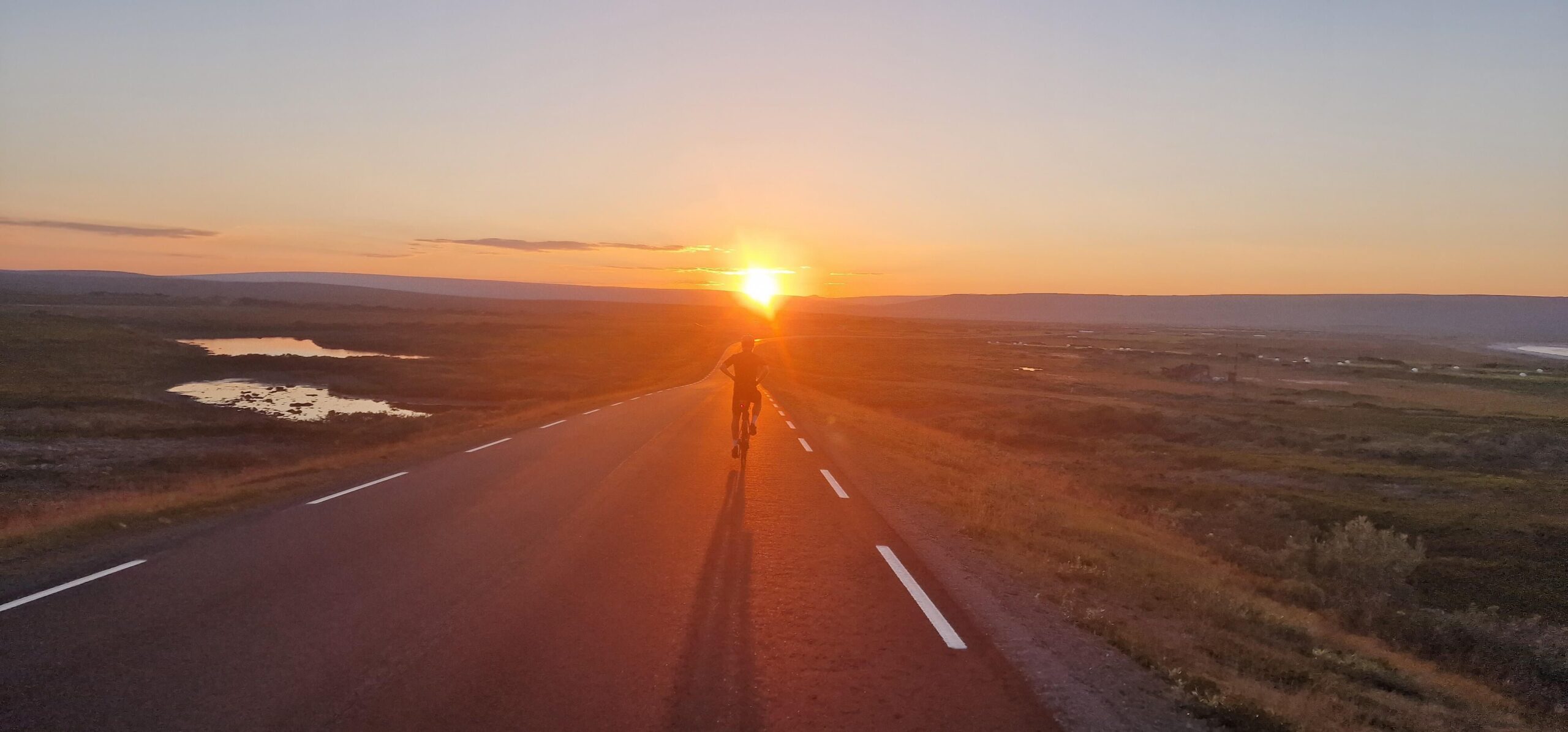
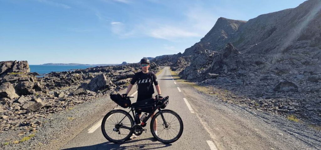
Using the Finnmark loop and National Cycle Route 8 as inspiration. I mapped out a beautiful loop around the Varangerhalvøya National Park. The last peninsula on the Scandinavian land mass offers visitors an ancient landscape of Arctic tundra, boulder fields, rich wetlands and riparian valleys with rivers running to the Varanger Fjord and the Barents Sea. Its beauty can not be underestimated, and neither can its roads.
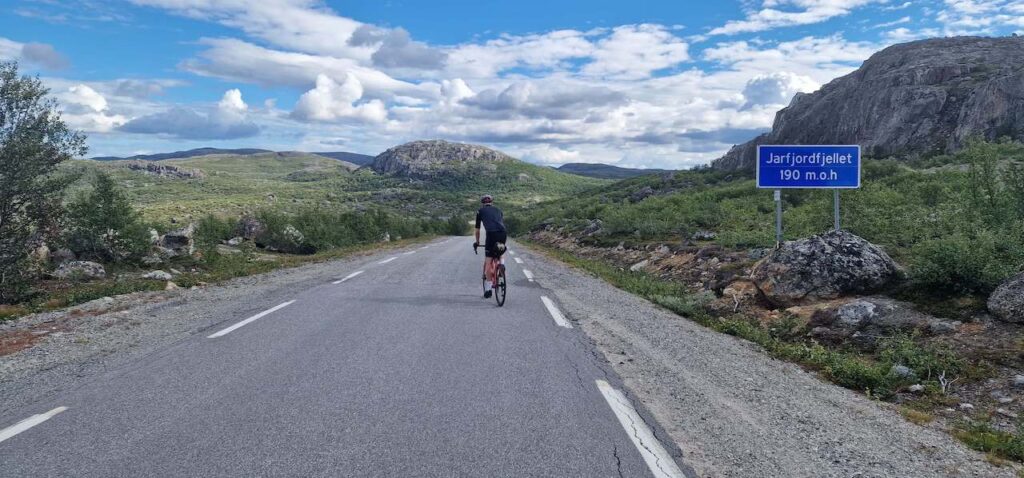
This far north most of the roads have limited traffic, and it’s a very cool feeling to cycle the last roads in Norway. These include:
-
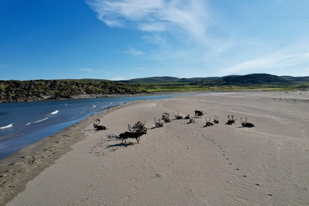
The ‘Road’s End’ (a remote scenic route to a tiny settlement called Hamningsberg). Expect to see plenty of Reindeer, and if you’re lucky, there may be a herd walking down one of the sandy beaches.
-
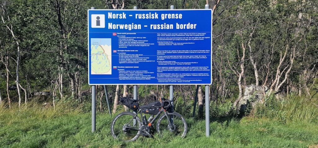
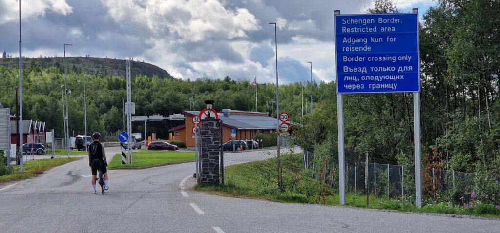
The ‘Russian border road’ (which runs alongside the border for several kilometres)
-
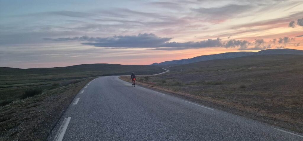
The Classic ‘Arctic Tundra road’ from Båtsfjords offers wide-open vistas of a desert-like tundra across a remote part of the national park.
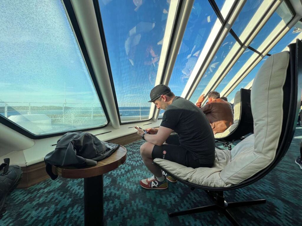
To reach Båtsfjord, you must book a ticket on the Hurtigruten boat from Vardø. It leaves the town at 17:00, five days a week. It costs 350kr plus 200kr for your bike. You must book the bike space in advance by phoning them. You will find further info on the public transport page.
I have called this route ‘The Arctic East 700’. It’s just over 700km on mainly flattish terrain. Expect it to be windy by the coast, and there are undoubtedly some hilly and bumpy sections to contend with. But overall, most people could cycle this route without too many problems.
What you need to know
Difficult: 4/10
When to cycle: June – September (to reduce mosquito problems, mid-August to mid-September is the perfect time). We didn’t have too many problems with mosquitoes, but there were some places where I got bitten.
How long?: 3-9 days
How to get there: Fly to Kirkenes from Oslo and cycle the loop from and ending at the Airport.
Where to leave your Bike Box?: We paid a guy 50 euros at the airport to store them there. The airport offically has no storage space, but if you ask nicely, I’m sure something can be arranged with a bit of cash as an incentive. Otherwise, take a bus to Kirkenes and leave them at a hotel. Hotel Scandic has a good luggage storage room.
Food & Drink: There are enough towns and villages along the route to keep stocked up. The map below highlights all the places, and with a bit of organisation, you should be fine. The longest stretch we went without a shop was 114km. Water can be refilled in rivers/streams that run close to the road. We didn’t have too many issues with water, and usually, the temperatures will be 10-15oC reducing your need to consume large amounts. I took two 500ml bottles.
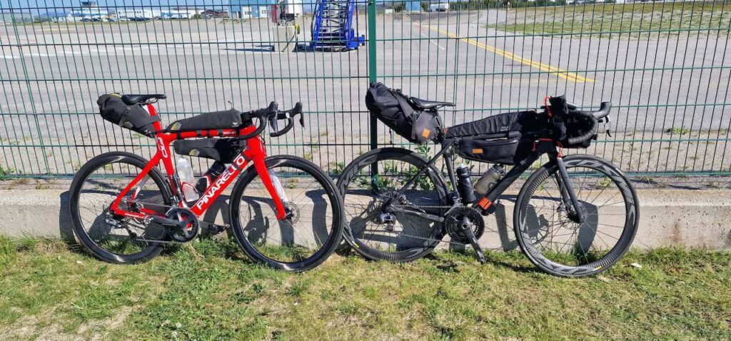
Bike Type: You can use any touring bike on this route (Road, Gravel, Mountain), but make sure it has some built-in comfort, as long days on the road may await you. You shouldn’t be too concerned with your cassette/gear selection with limited climbing.
You will find further information about accommodation, etc, on this map below.
Summary: I highly recommend this route as a great week’s trip to the North. The roads are majestic, and most are in good condition. The traffic is generally not a problem, and there are plenty of options to hike and experience the national park on foot. The small towns you pass have character and plenty of history to discover. The reindeer are plentiful, and you may even see some lying on a beach! And if you really want to experience something weird, stare at Russia as you stand on the border, knowing you can not cross.
Laisser un commentaire