
499 km
Avstand
6795
Elev. Vinst
3-7
Dager
72%
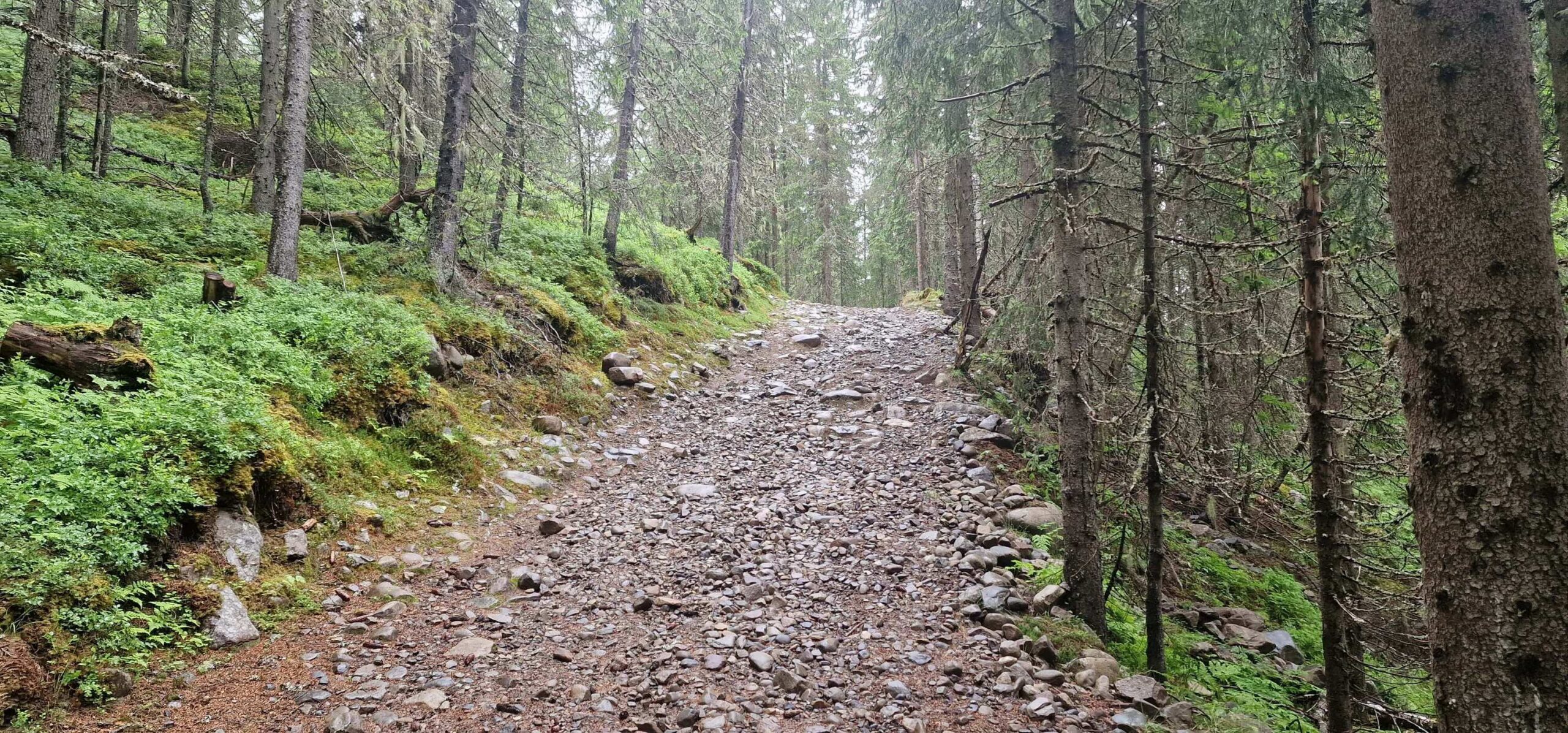
Ubelagt
6/10
Vanskelighetsgrad
40-50 mm
Idealtyper
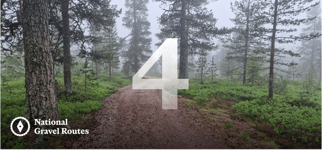
Nasjonale Grusveiruter 4: Innlandsruta
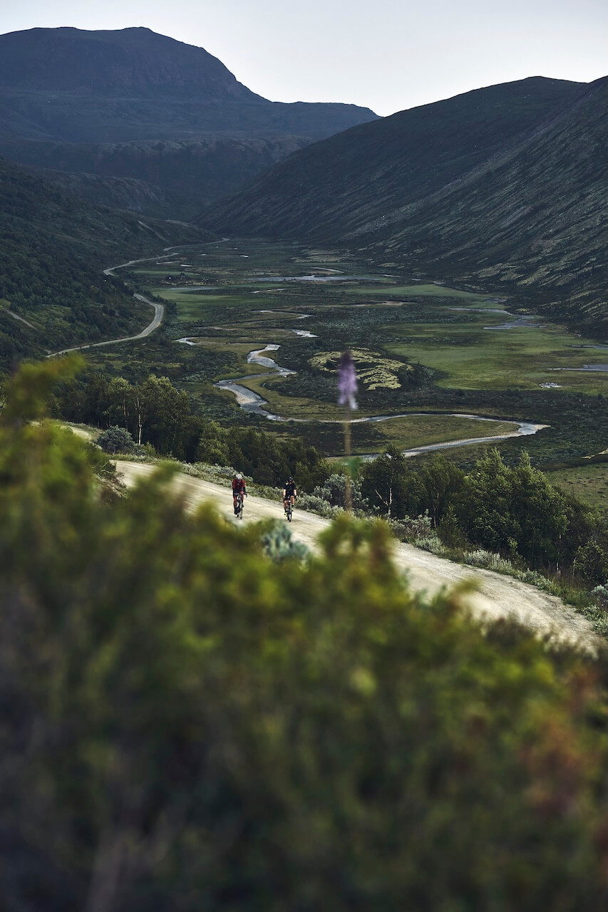
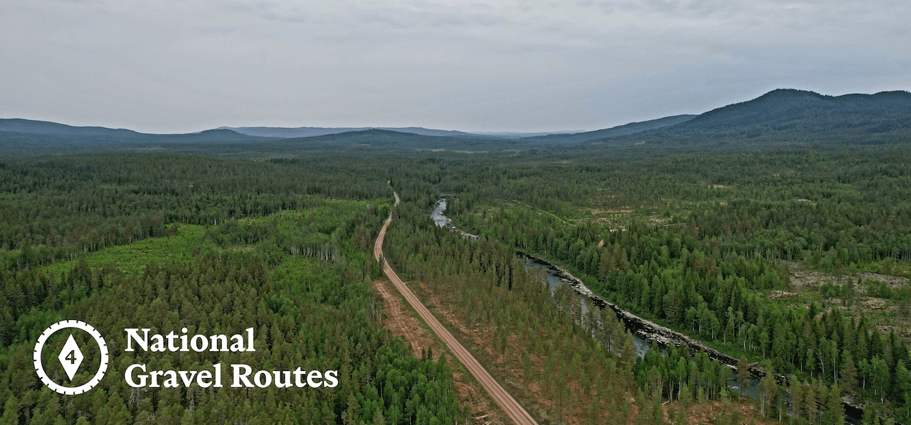
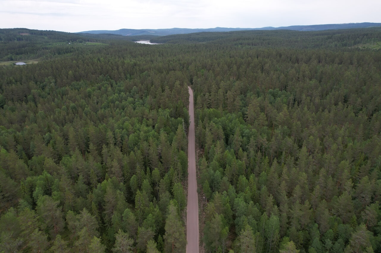
Route 4 is one of the most remote journeys in southern Norway, spending long stretches far from major transport corridors and large towns. It is defined less by dramatic landmarks and more by absence: traffic, noise, and modern intrusion.
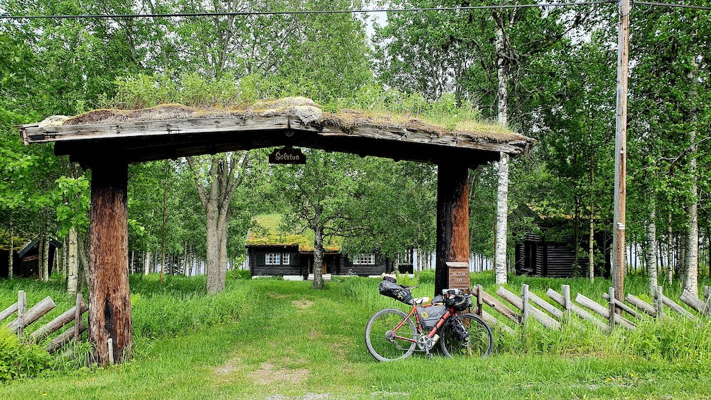
Leaving Oslo, the route quickly enters the forests of Østmarka, where a surprisingly wild gravel section offers an early taste of what’s to come. This quiet opening is briefly contrasted by the urban sprawl around Lillestrøm, a reminder of how close wilderness lies to the capital.
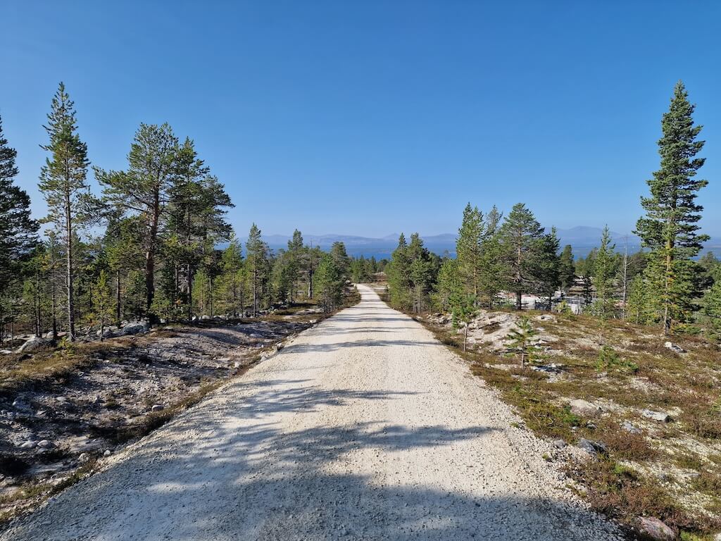
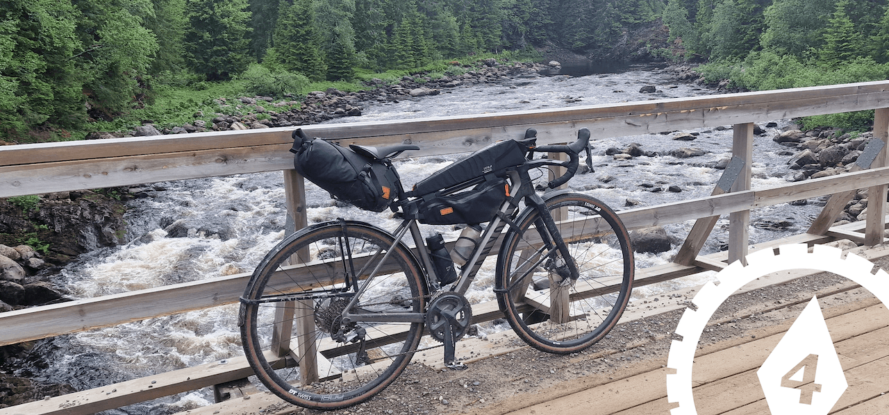
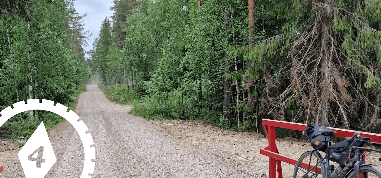
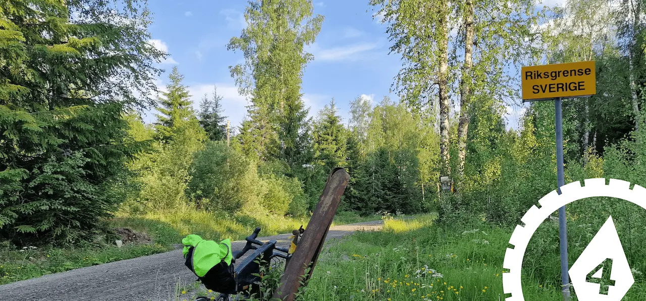
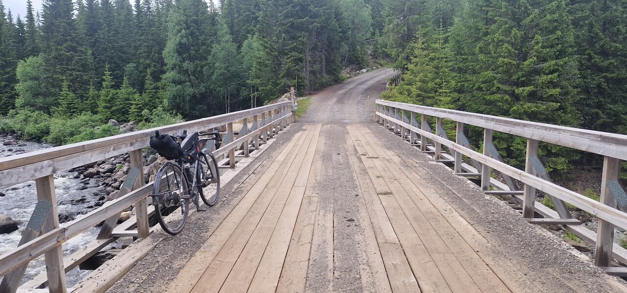
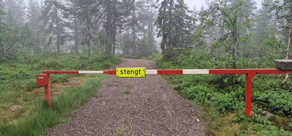
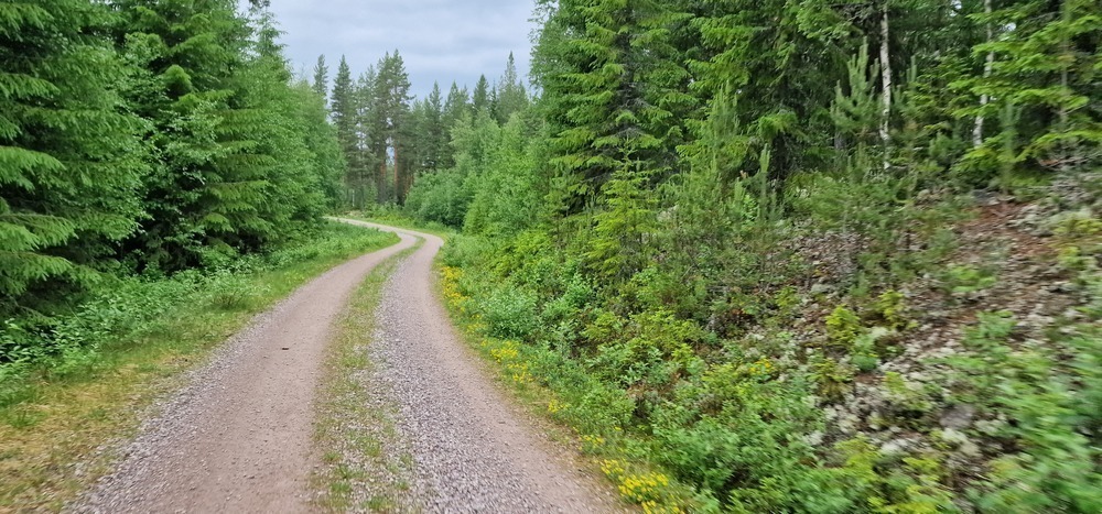
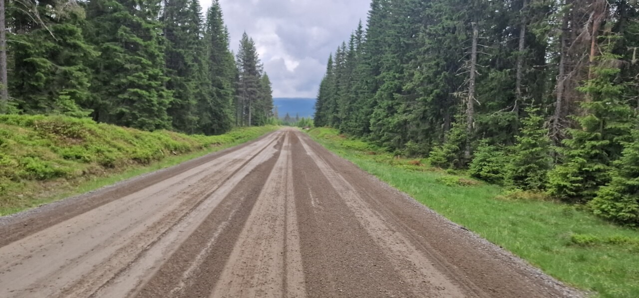
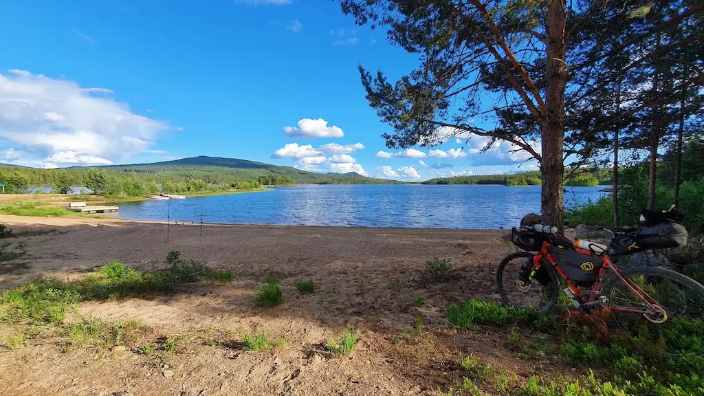
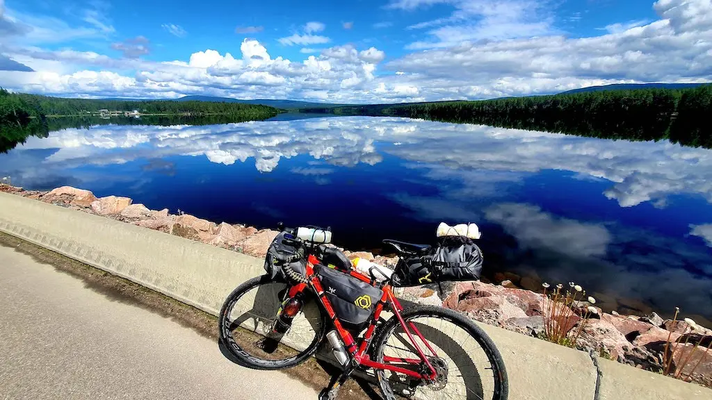
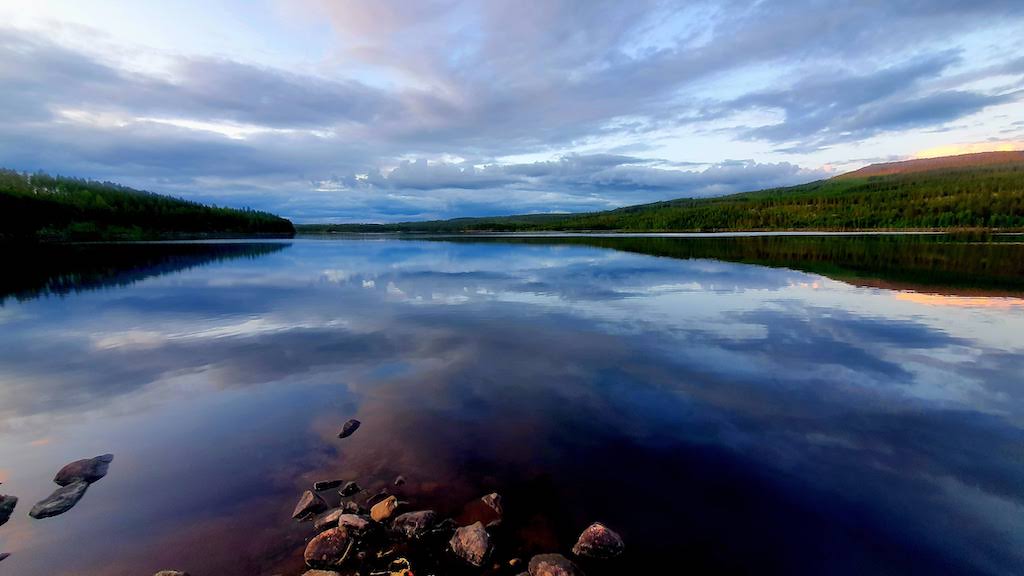
Beyond Lillestrøm, the first 70–80 kilometres are mostly paved as the route passes through settled lowlands. But as it bends toward the Swedish border, traffic disappears and gravel takes over. For the next 375 kilometres, the journey unfolds across remote forest roads and lakeside tracks through Innlandet’s vast interior, a slower Norway shaped by forestry, farming, and long distances between communities.
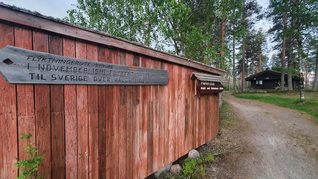
These forests also carry a quiet history. During the Second World War, the borderlands toward Sweden became escape corridors used by resistance members and civilians fleeing occupation. Many of these routes remain signposted today.
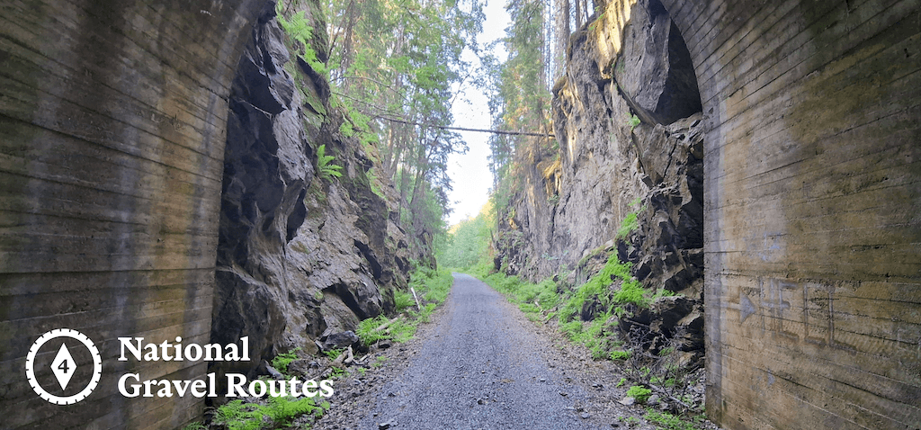
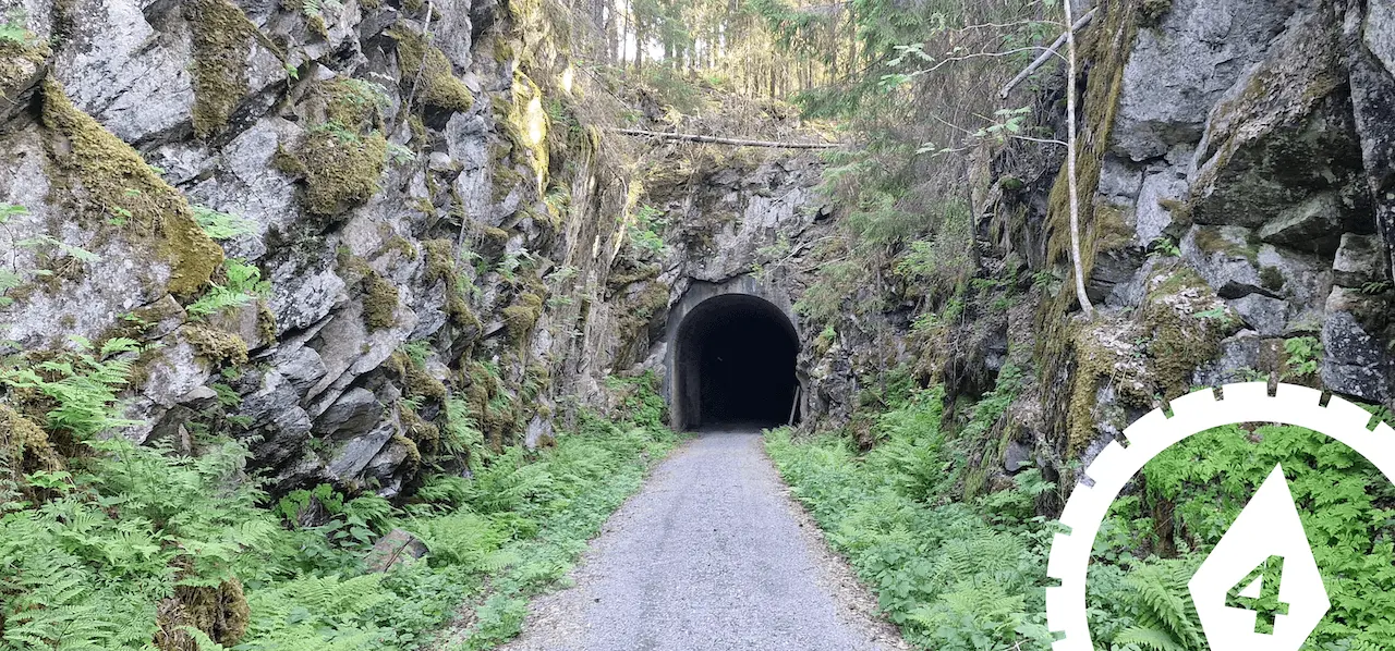
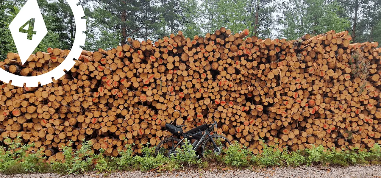
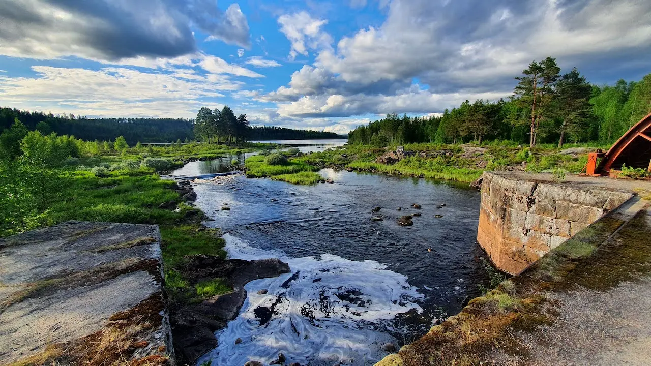
You will also encounter traces of an older industrial landscape. Lakes and rivers once carried timber south toward sawmills and coastal towns, leaving behind dams, log chutes, and altered shorelines.
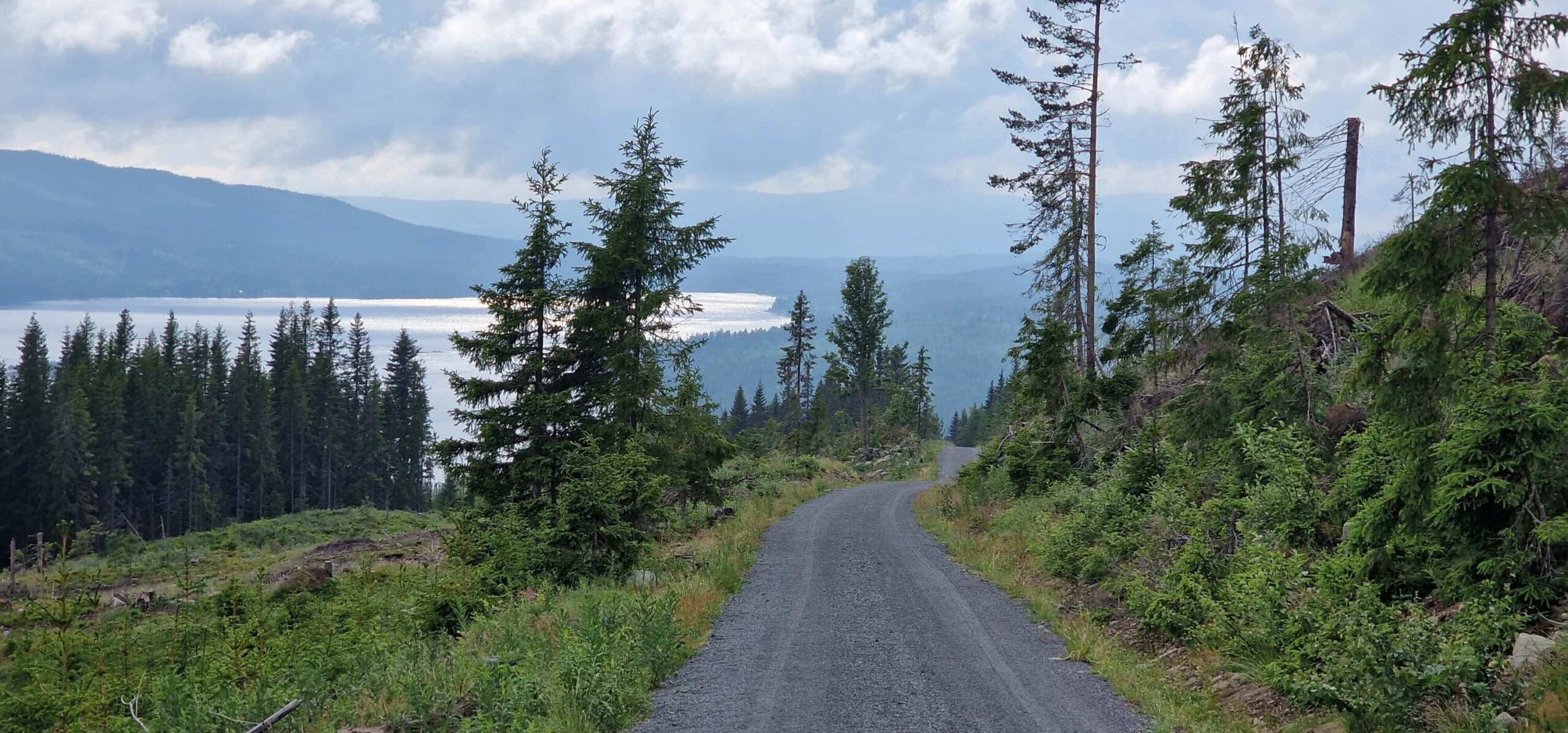
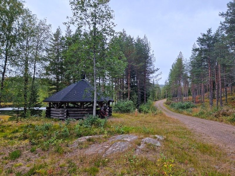
For part of the journey, the route follows National Cycle Route 9 (Villmarksruta), Norway’s classic wilderness route. Where Villmarksruta returns to paved roads, Route 4 breaks west across highland farmland and forest tracks toward Lillehammer.
Lillehammer offers a natural endpoint with rail connections back to Oslo. For those continuing, Route 4 connects directly with Route 1, either north toward Trondheim or south toward Oslo, completing a long arc through some of Norway’s quietest landscapes.
Ruteplan
Lås opp hele POI-rutenettkartet
Bli med på Cycle Norway for å få tilgang til full ruteinformasjon.
Lås opp alt innhold
Bli medlem for å få full tilgang til:
- Detaljerte etappeseksjoner og omkjøringsalternativer
- GPX-filer og interaktive kart med interessepunkter
- Transportalternativer og logistikk
- Overnattingsanbefalinger
- Sikkerhetstips, høydepunkter og mer
Ikke klar til å bli med ennå?
Meld deg på nyhetsbrevet vårt og få gratis planleggingsressurser:
-
Pakkliste

PDF -
Grus kart
Forhåndsvisning -
Sykkelkode
i Norge
-
Håndplukkede ruter
Testet av lokale eksperter
-
GPX-filer og kart
For enkel navigasjon
-

Pålitelig informasjon
Oppdatert regelmessig
-

Støtt bærekraftige reiser
Reis ansvarlig i Norge