
499 km
Distance
6795
Dénivelé positif
3-7
Jours
72%
Non pavé
6/10
Difficulté
40-50 mm
Types Idéaux
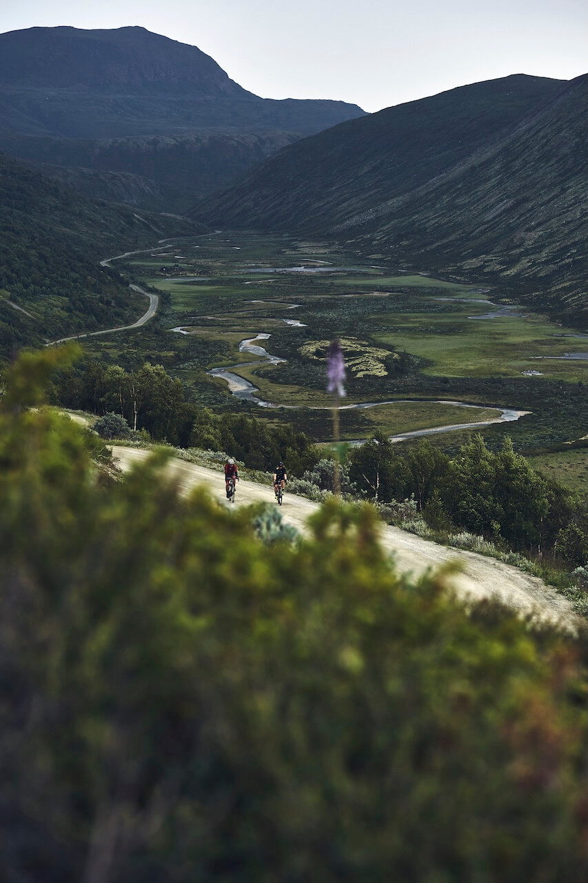
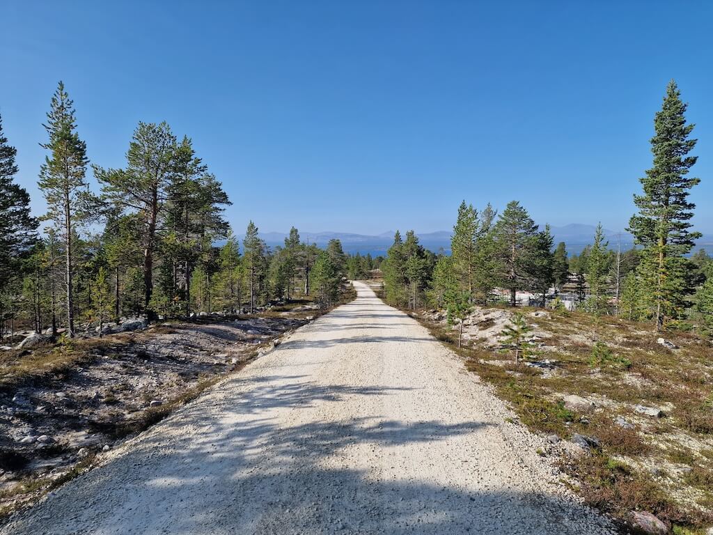
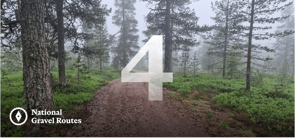
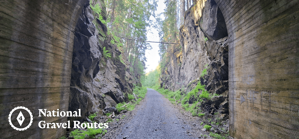
Route Nationale de Gravel 4 : Innlandsruta
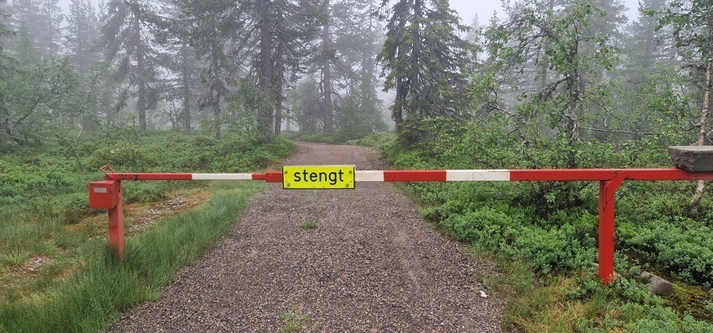
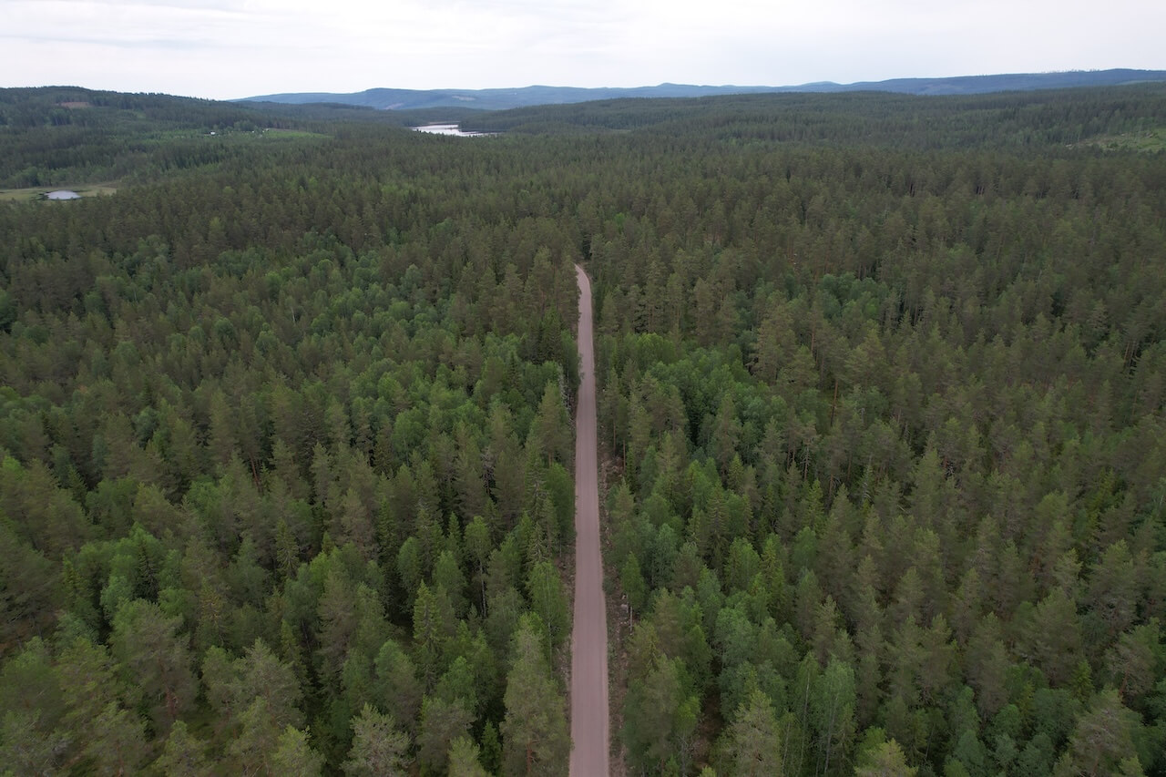
Route 4 is one of the most remote journeys in southern Norway, spending long stretches far from major transport corridors and large towns. It is defined less by dramatic landmarks and more by absence: traffic, noise, and modern intrusion.
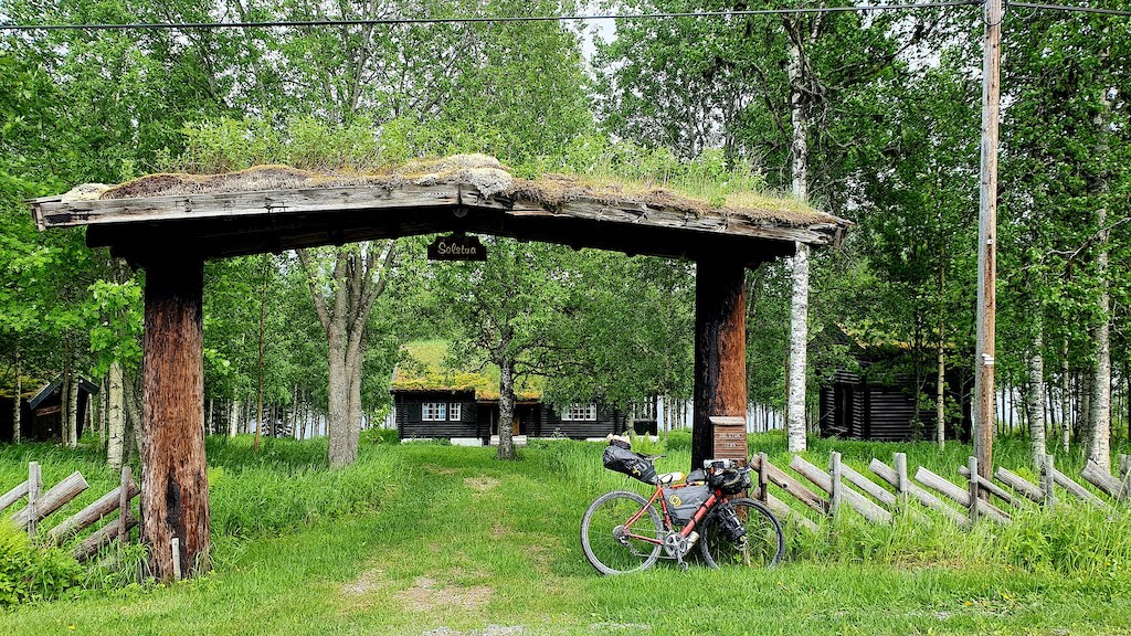
Leaving Oslo, the route quickly enters the forests of Østmarka, where a surprisingly wild gravel section offers an early taste of what’s to come. This quiet opening is briefly contrasted by the urban sprawl around Lillestrøm, a reminder of how close wilderness lies to the capital.
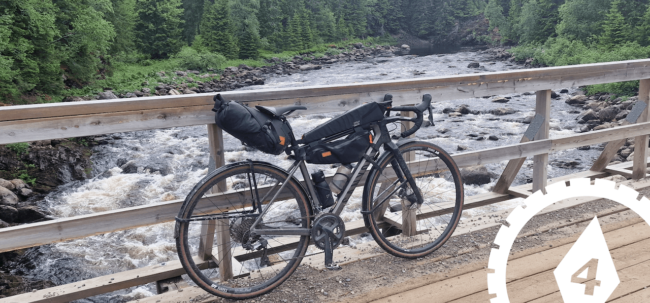
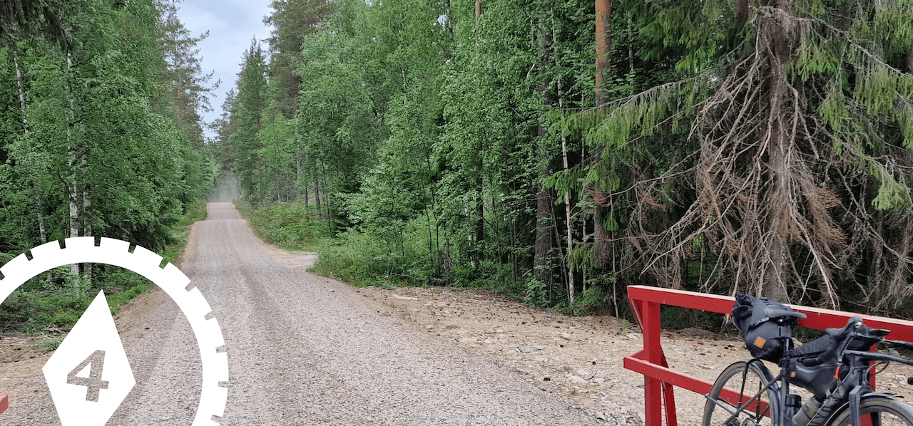
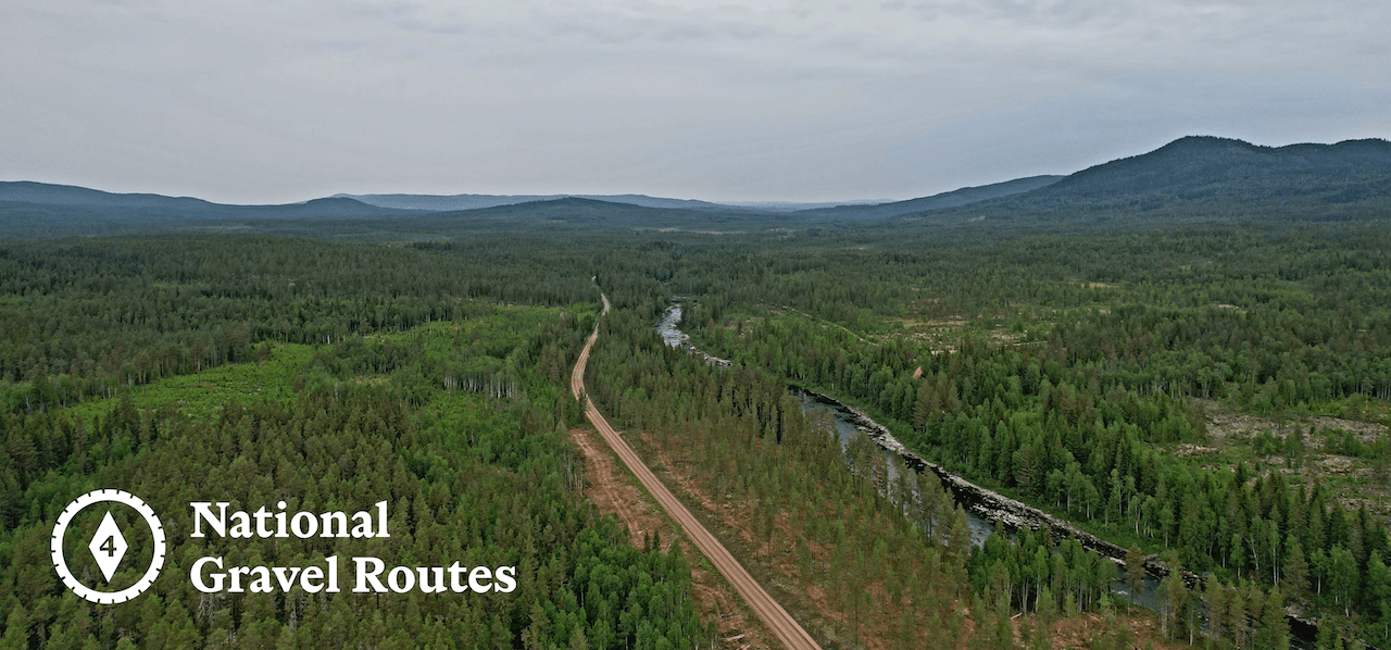
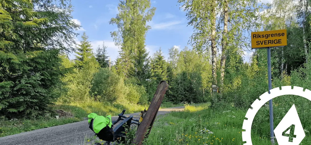
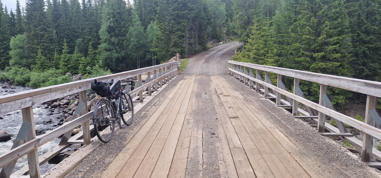
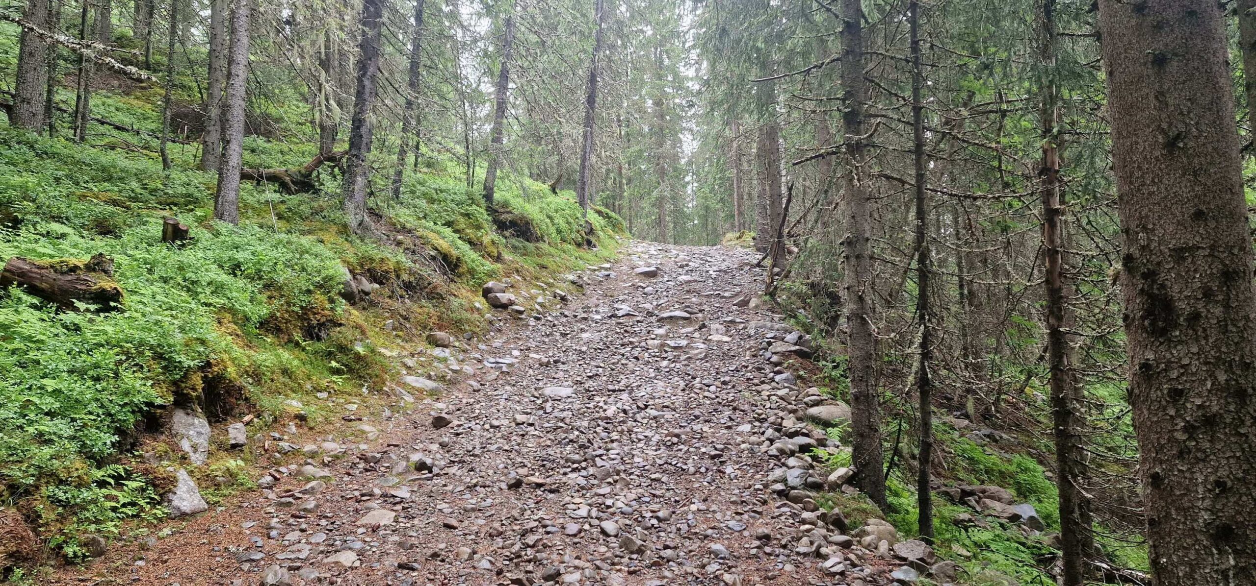
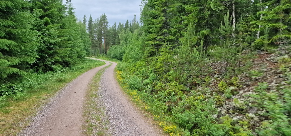
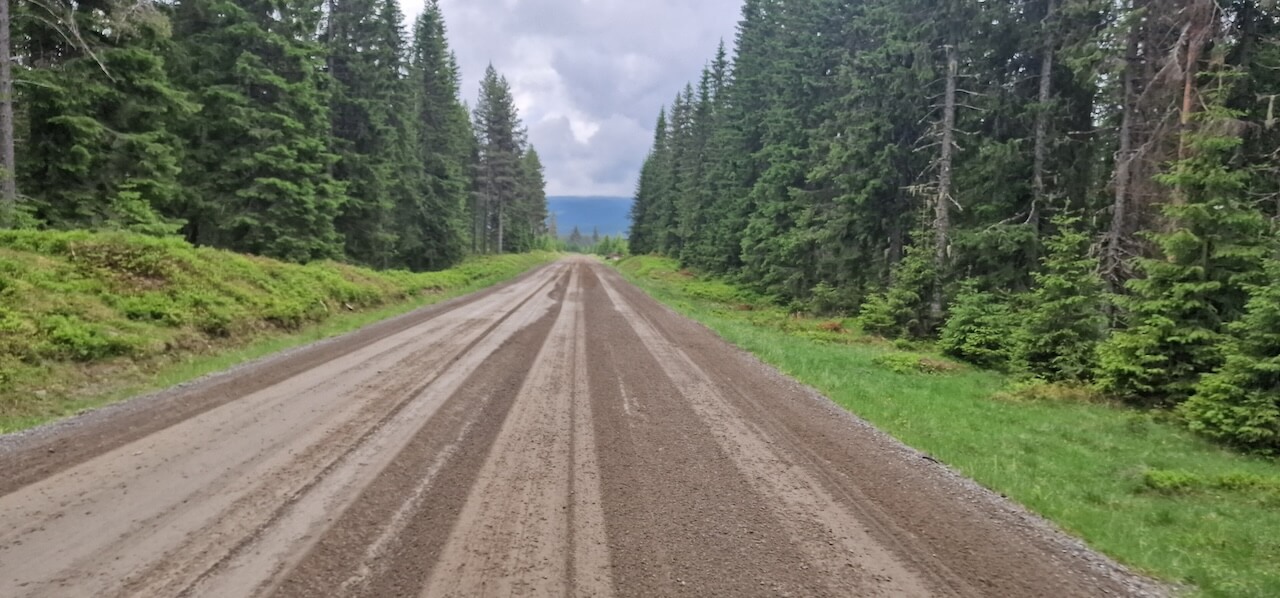
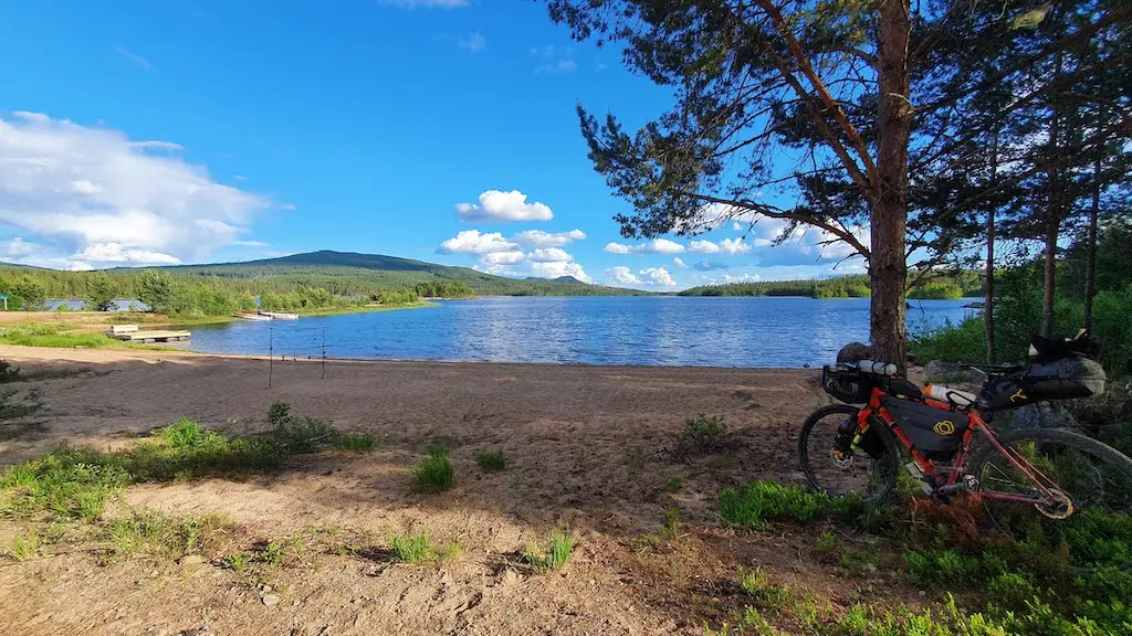
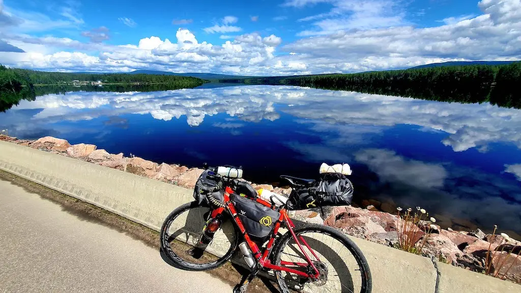
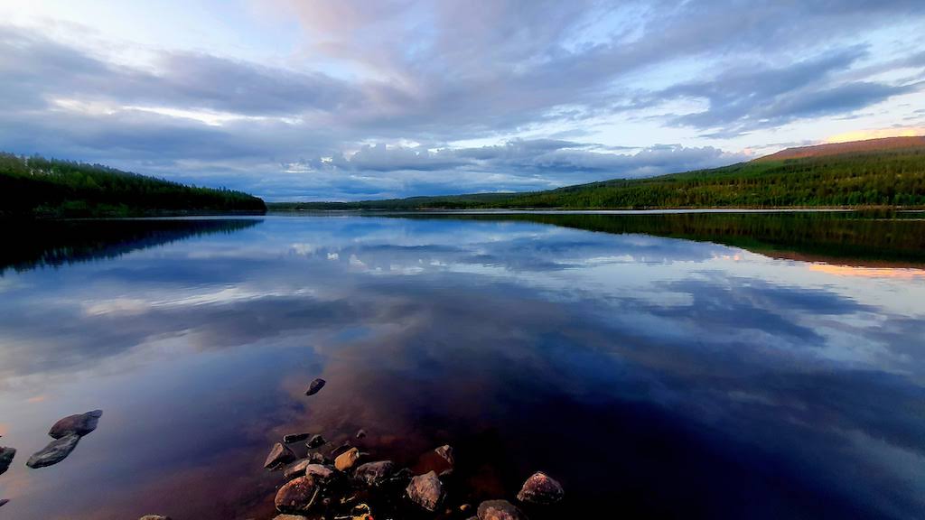
Beyond Lillestrøm, the first 70–80 kilometres are mostly paved as the route passes through settled lowlands. But as it bends toward the Swedish border, traffic disappears and gravel takes over. For the next 375 kilometres, the journey unfolds across remote forest roads and lakeside tracks through Innlandet’s vast interior, a slower Norway shaped by forestry, farming, and long distances between communities.
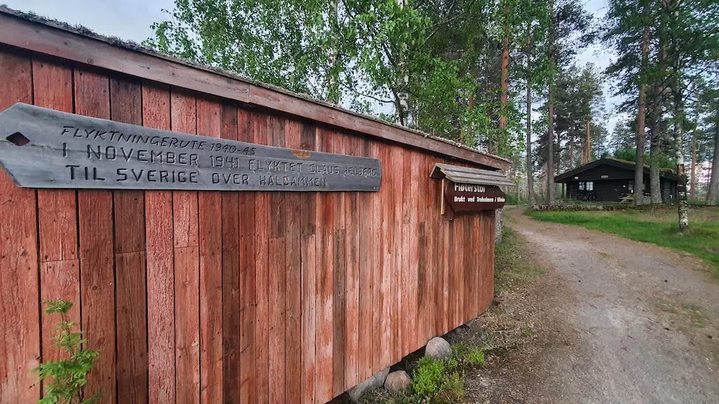
These forests also carry a quiet history. During the Second World War, the borderlands toward Sweden became escape corridors used by resistance members and civilians fleeing occupation. Many of these routes remain signposted today.
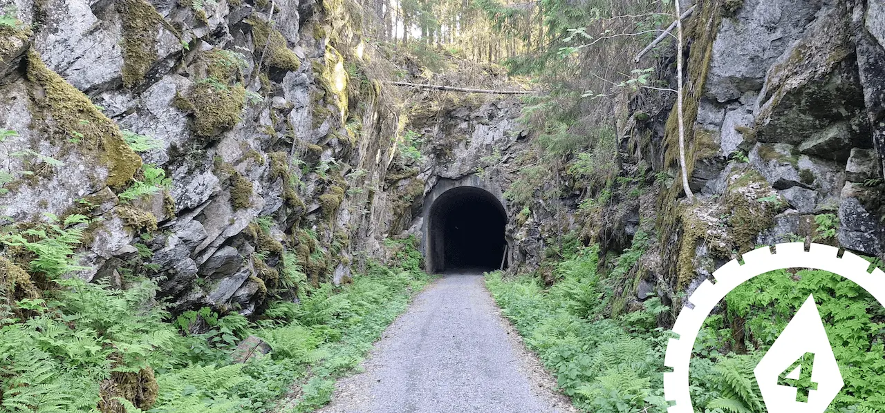
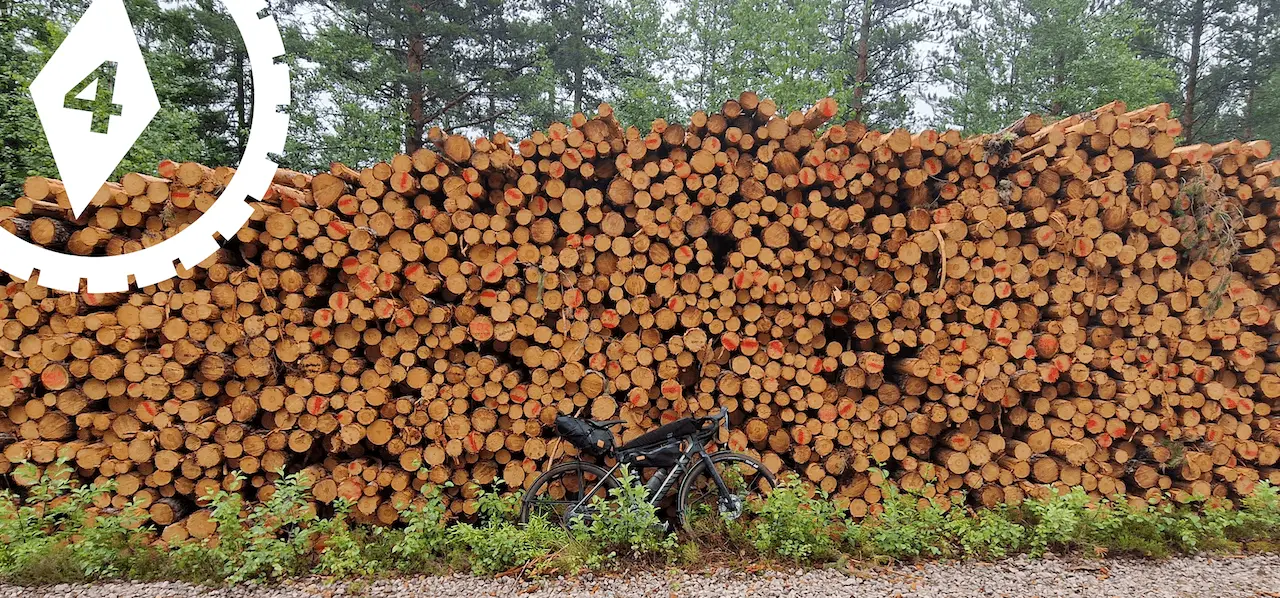
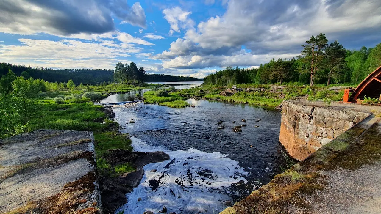
You will also encounter traces of an older industrial landscape. Lakes and rivers once carried timber south toward sawmills and coastal towns, leaving behind dams, log chutes, and altered shorelines.
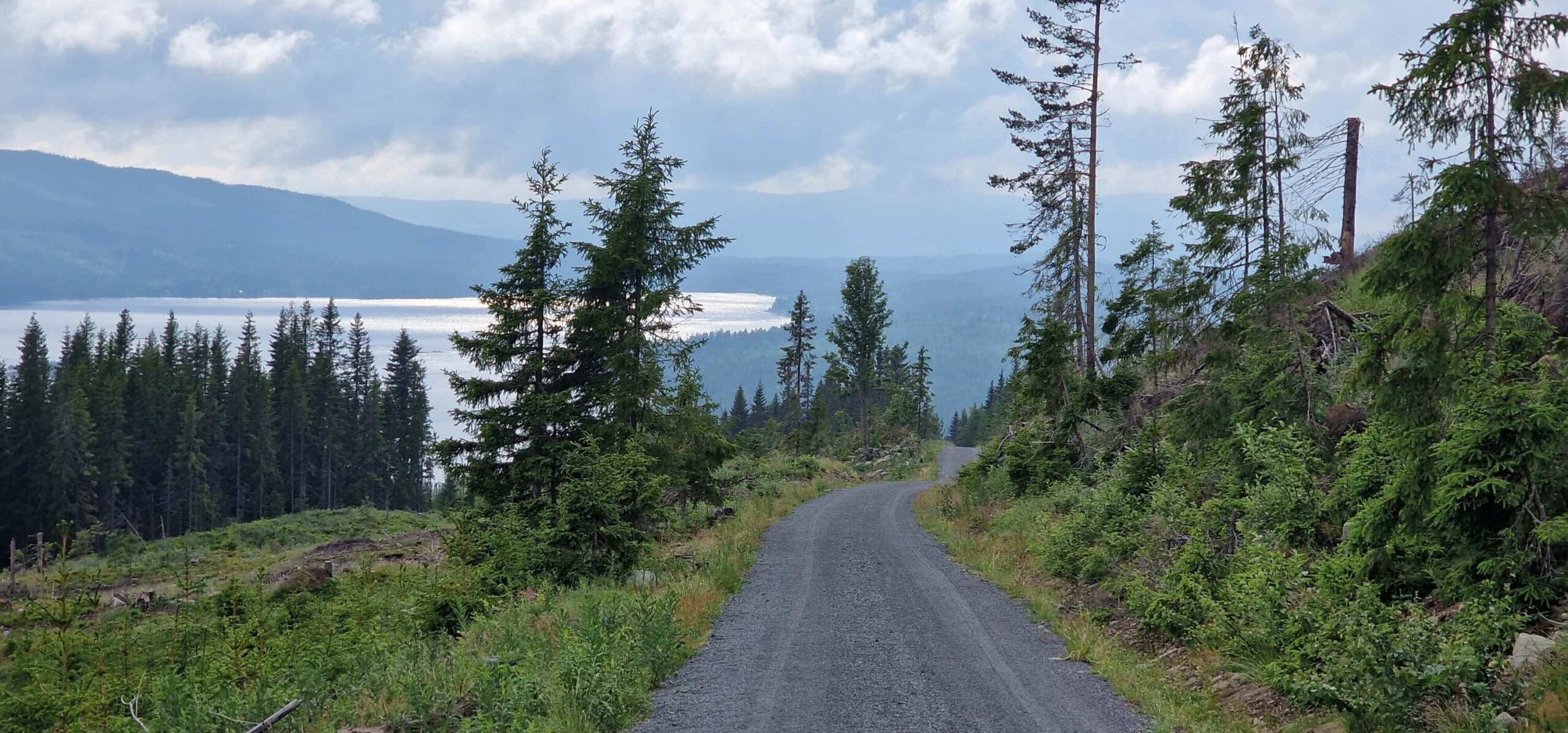
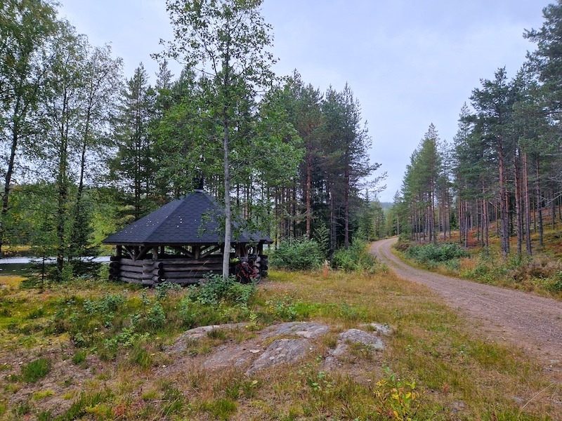
For part of the journey, the route follows National Cycle Route 9 (Villmarksruta), Norway’s classic wilderness route. Where Villmarksruta returns to paved roads, Route 4 breaks west across highland farmland and forest tracks toward Lillehammer.
Lillehammer offers a natural endpoint with rail connections back to Oslo. For those continuing, Route 4 connects directly with Route 1, either north toward Trondheim or south toward Oslo, completing a long arc through some of Norway’s quietest landscapes.
Carte routière
Débloquez la carte complète de l'itinéraire POI
Join Cycle Norway to access the full route information.
Débloquez le contenu intégral
Devenez membre pour avoir un accès complet à :
- Détails des sections de l'étape et options de déviation
- Fichiers GPX et cartes interactives des POI
- Options de transport et logistique
- Recommandations d'hébergement
- Conseils de sécurité, points forts et plus encore
Pas prêt à rejoindre pour l'instant ?
Inscrivez-vous à notre lettre d'information et bénéficiez de ressources de planification gratuites :
-
Liste des bagages

PDF -
Carte de gravier
Aperçu -
Code cyclable
en Norvège
-
Itinéraires sélectionnés à la main
Testé par des experts locaux
-
Fichiers GPX et cartes
Pour une navigation facile
-

Informations fiables
Mis à jour régulièrement
-

Soutenir le voyage durable
Voyagez de manière responsable en Norvège