


638 km
Distance
11061m
Dénivelé positif
4-10
Jours
76%
Non pavé
7/10
Difficulté
40-45mm
Types Idéaux
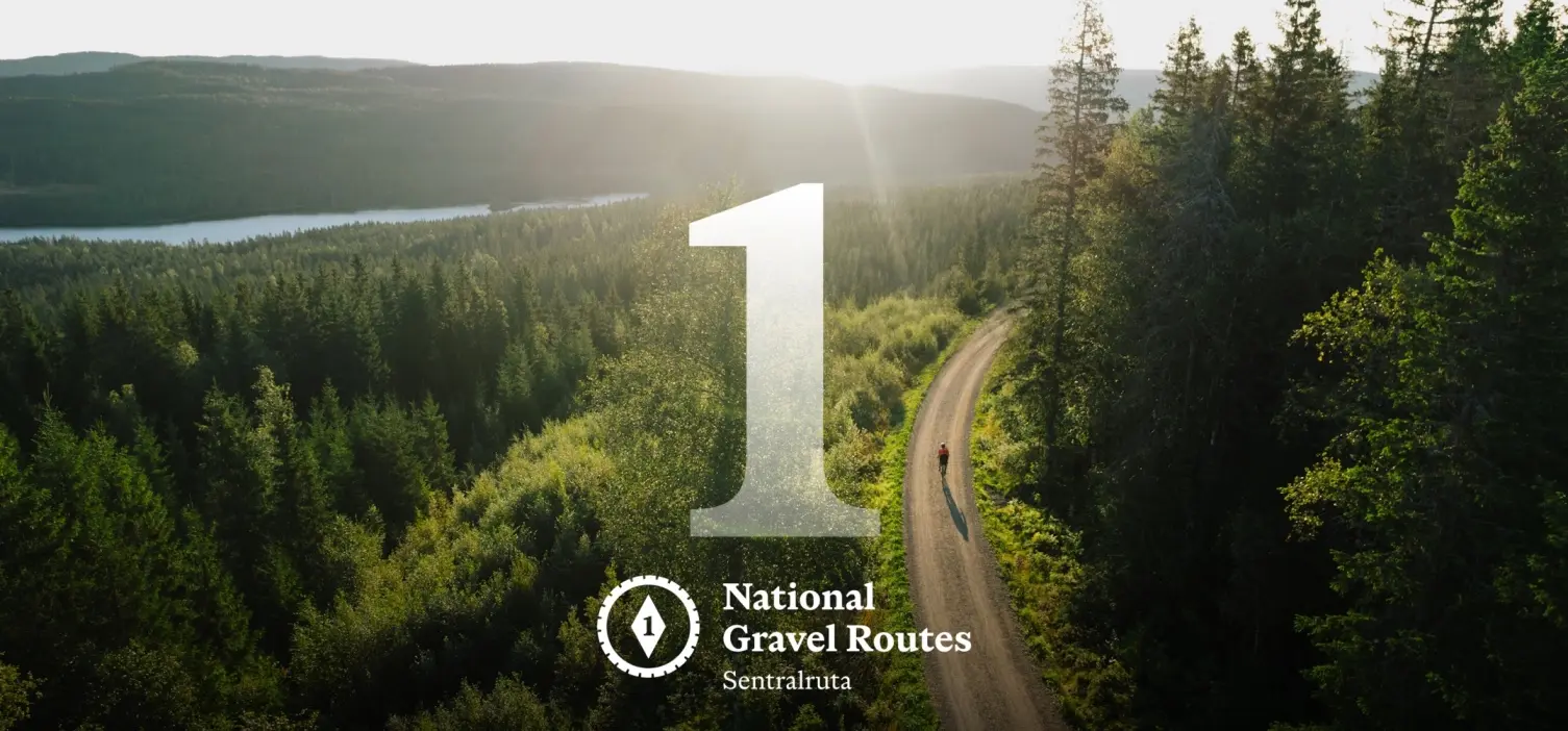
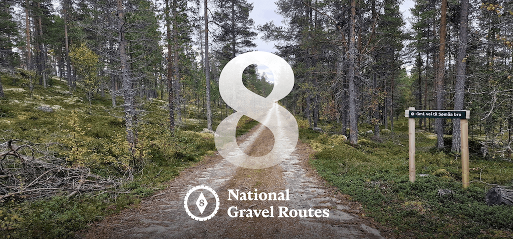
Route Nationale de Gravier 8 : Østlandsviddene
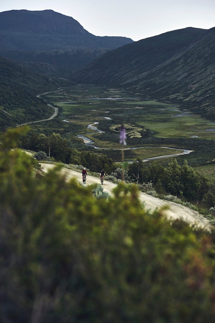
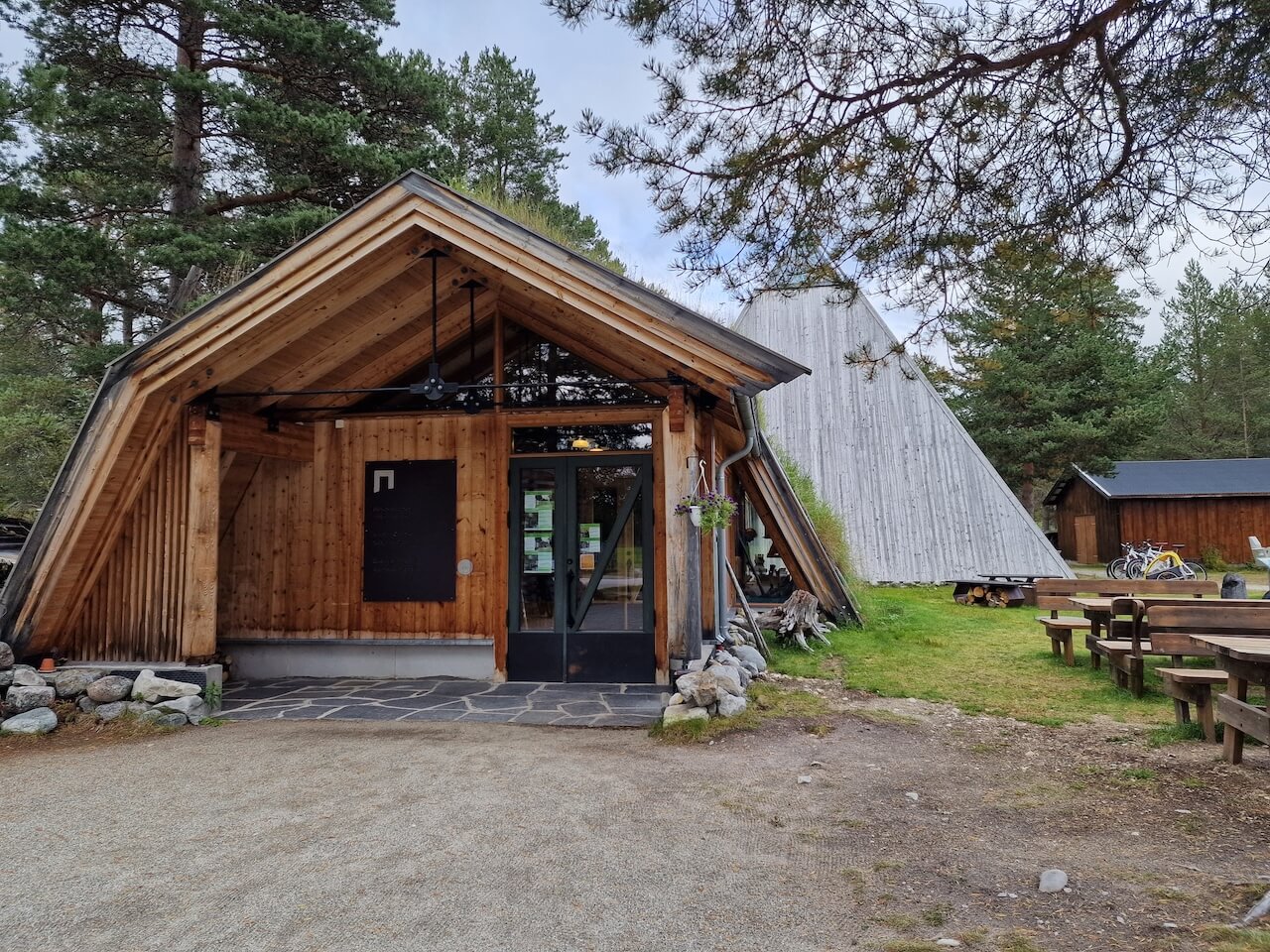
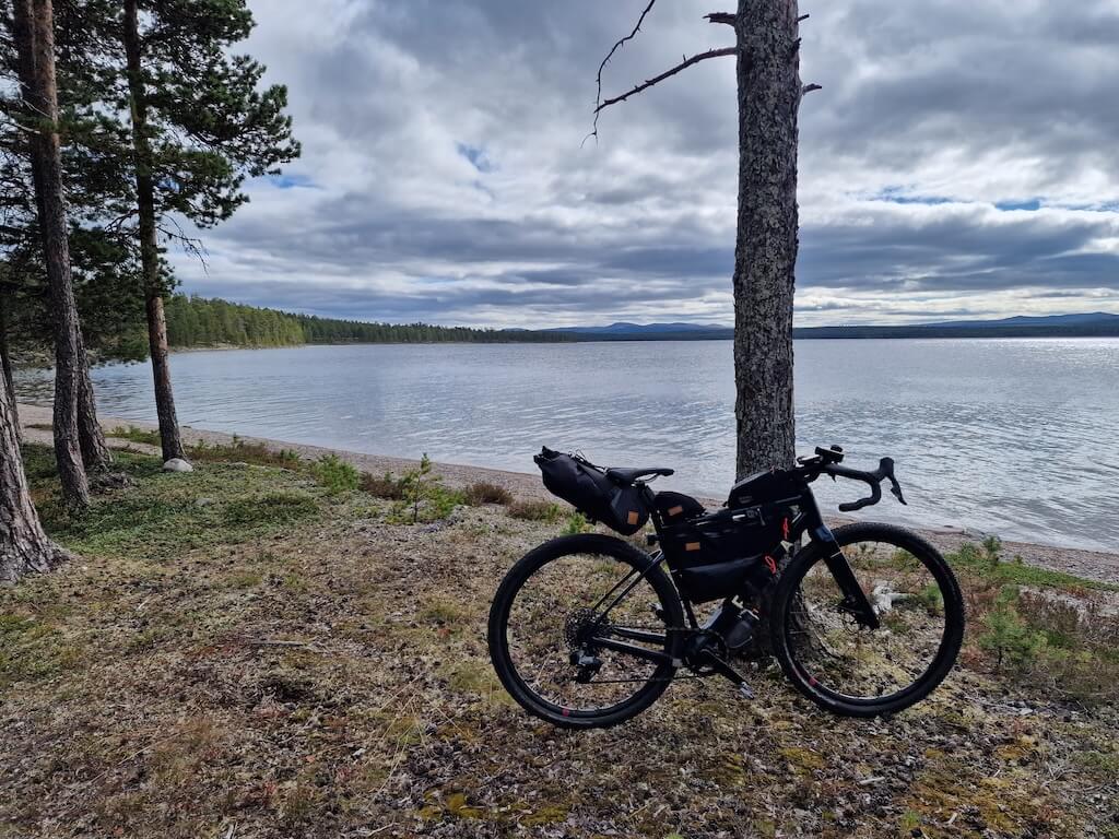
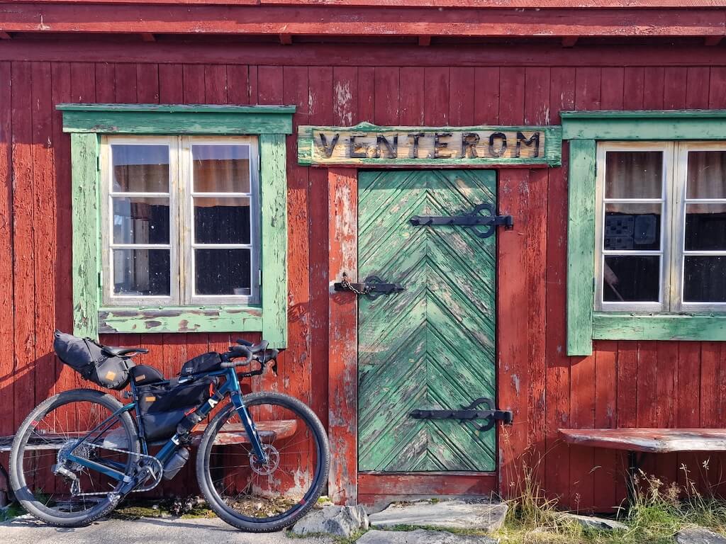
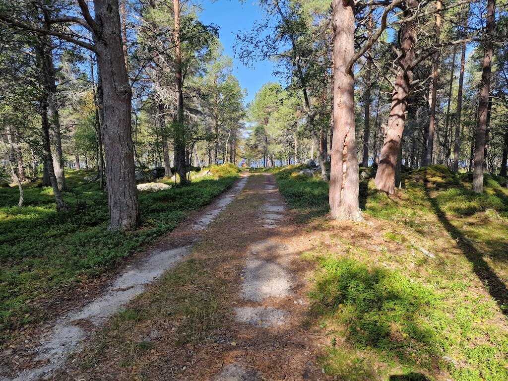
Route 8 is the hidden gem of the National Gravel Routes: a long, demanding loop for serious bikepackers who want to disappear into remote, seldom-visited parts of Norway’s interior. The journey begins in Dombås, where a rare purpose-built cycle path leads safely between the national parks, offering a quiet alternative to the E6. Already, the sense of scale and exposure begins to settle in.
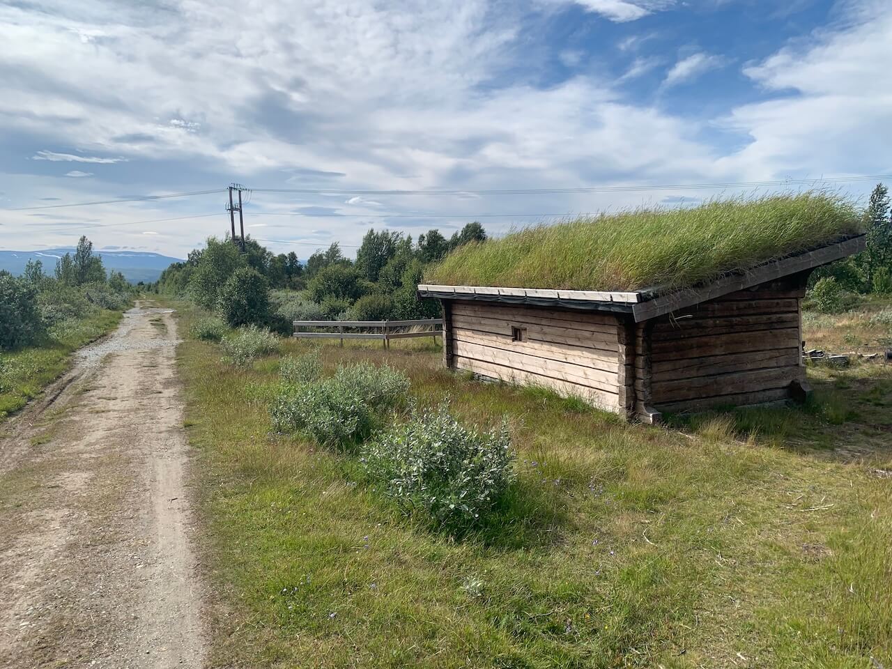
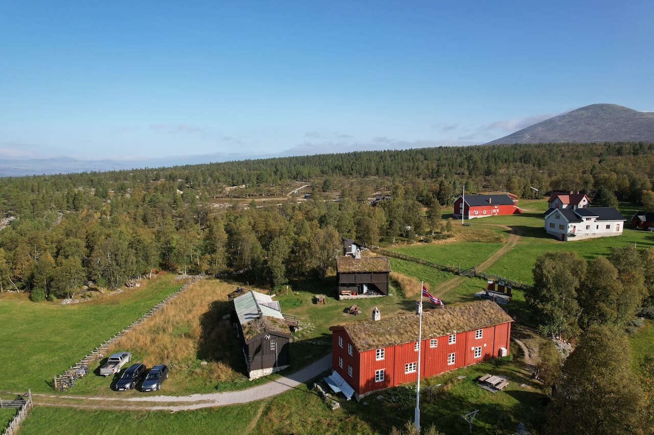
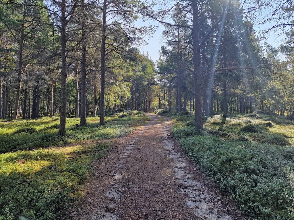
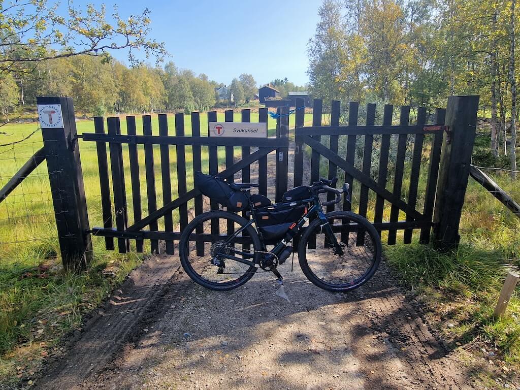
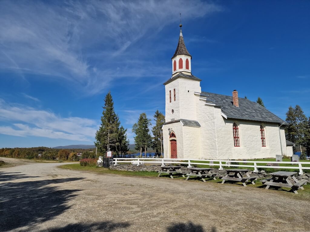
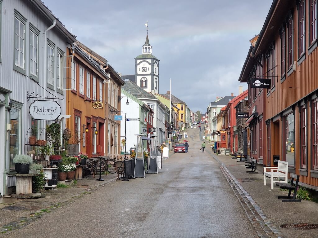
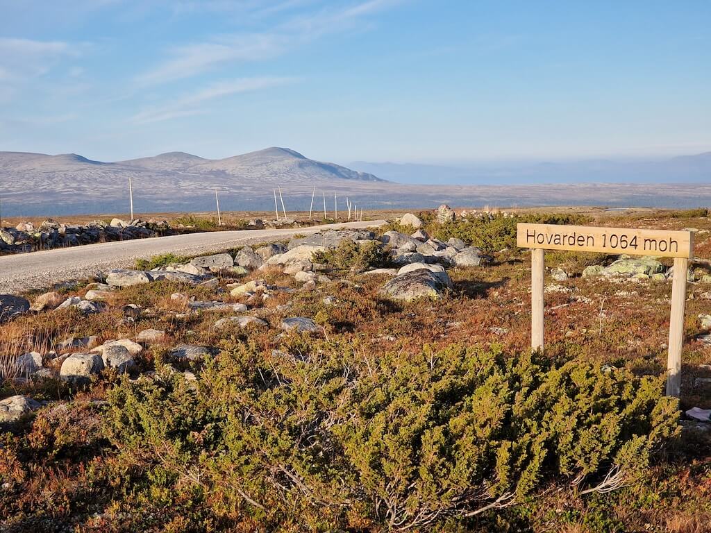
Beyond the small settlement of Hjerkinn, the route climbs onto historic seterveier, summer farm roads that rise high above the valleys and lead east toward the UNESCO-listed mining town of Røros. These roads carry you through open mountain terrain where movement has always been seasonal and purposeful. Røros itself is the perfect place to pause: a 17th-century town of timber streets and copper-mining history, best explored slowly after days of empty gravel.
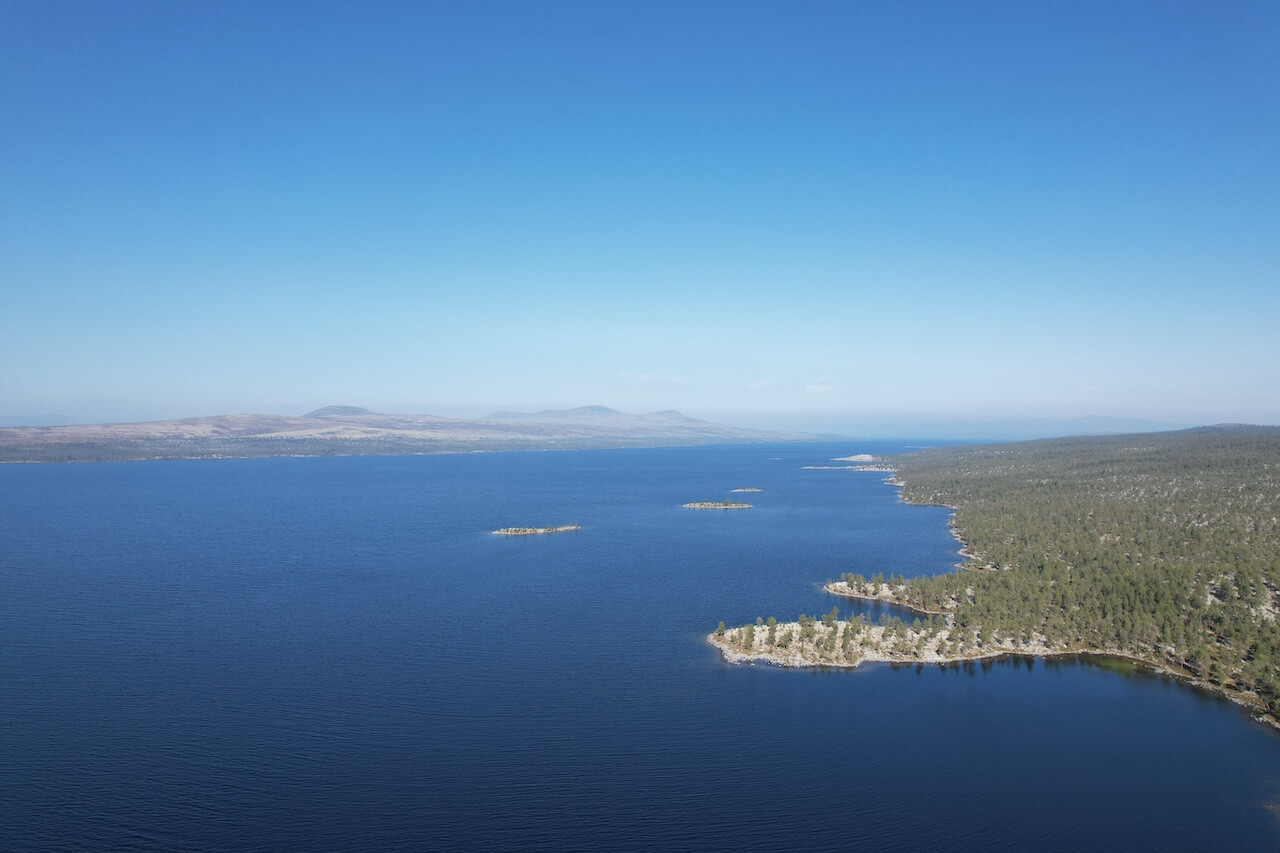
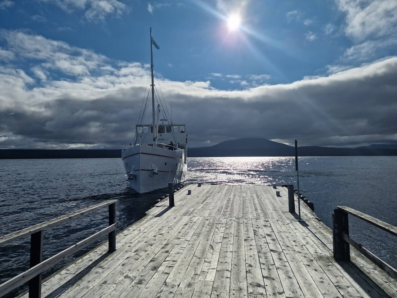
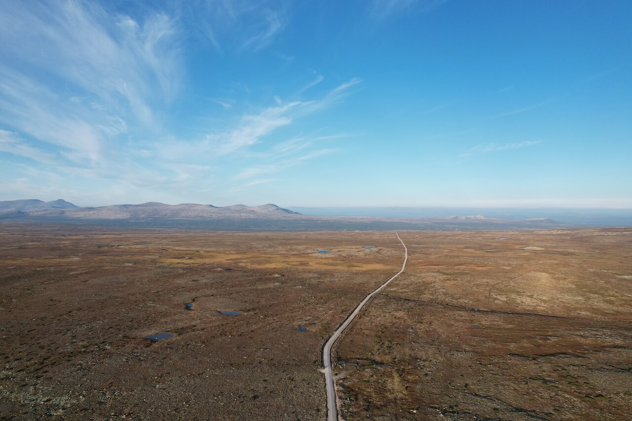
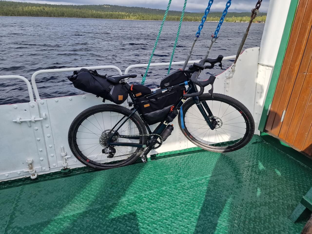
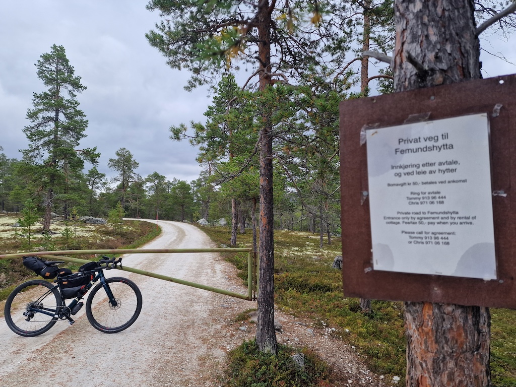
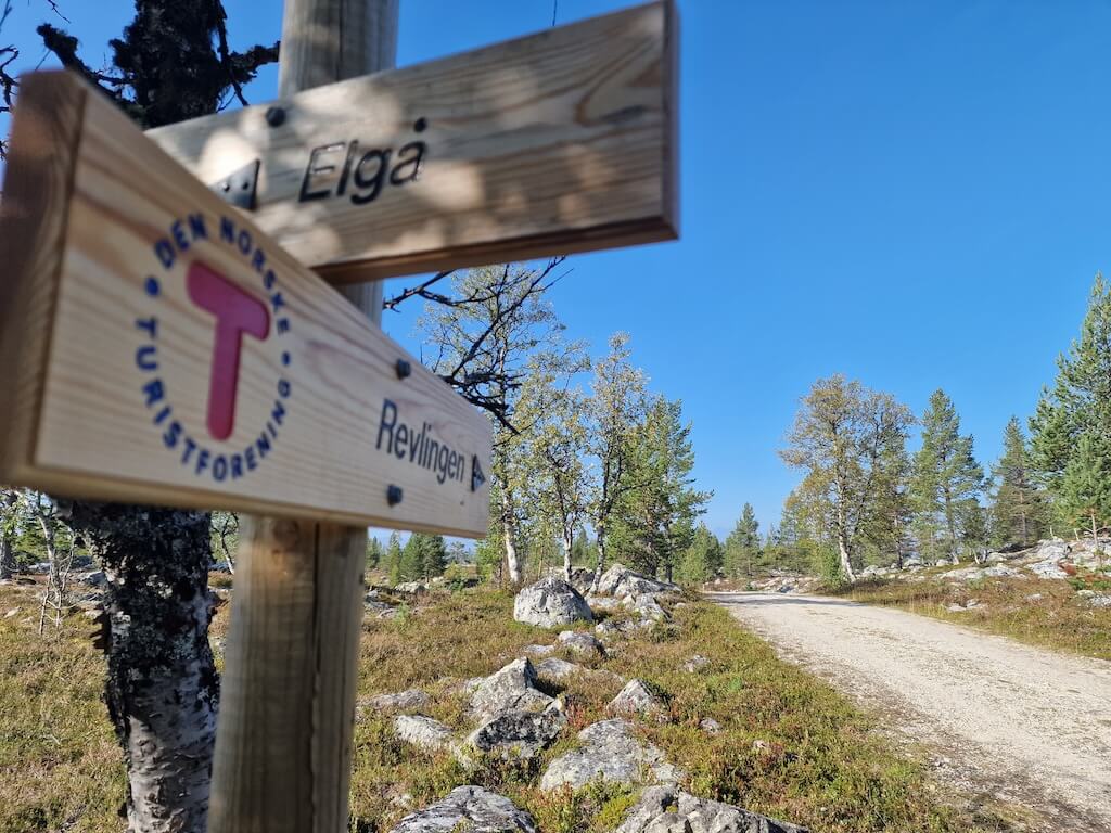
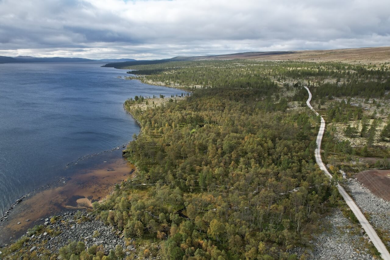
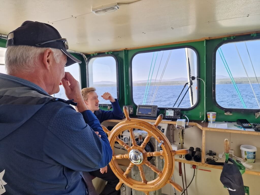
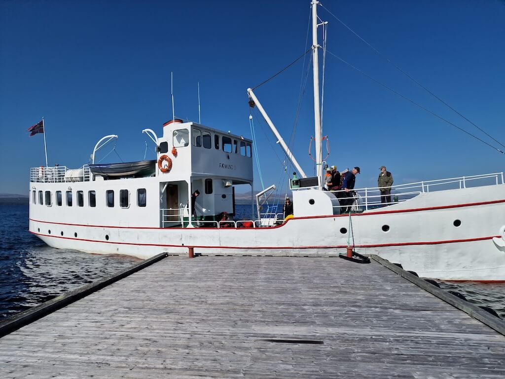
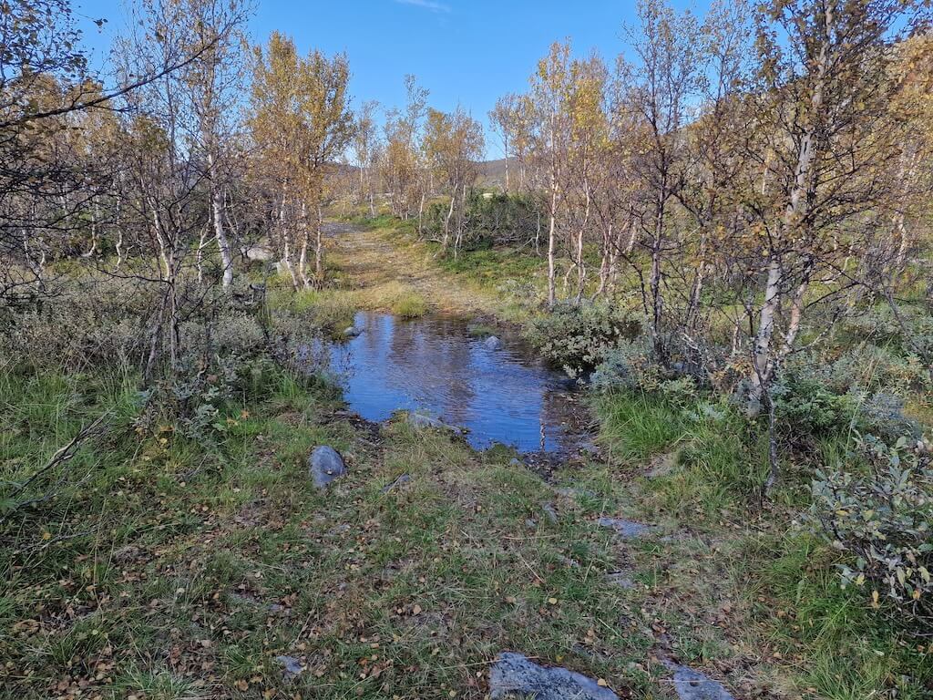
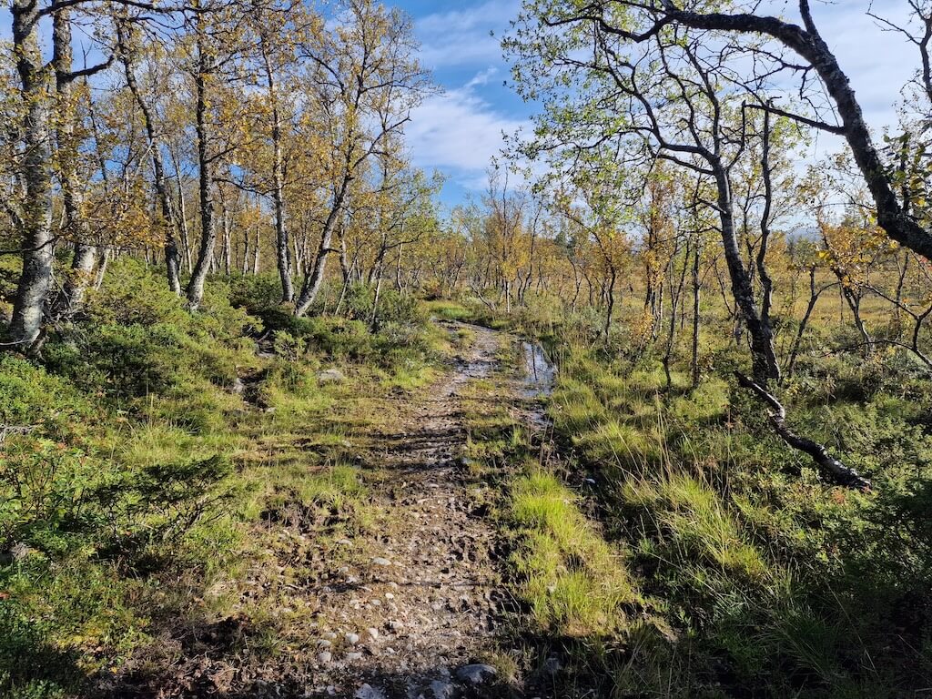
From Røros, the route continues southeast toward Femunden, where a century-old lake ferry carries riders across Norway’s third-largest lake. On the far shore, human presence quickly fades. Roads narrow, forests stretch endlessly, and reindeer replace traffic as your most frequent companions. After a short paved section, the gravel resumes toward the end of the road, where a small DNT cabin marks the edge of Femundsmarka National Park. Rather than retracing your steps, the route returns by boat, preserving the feeling of moving forward.
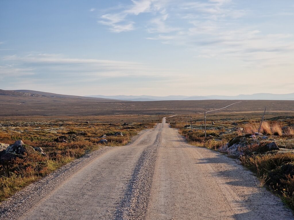
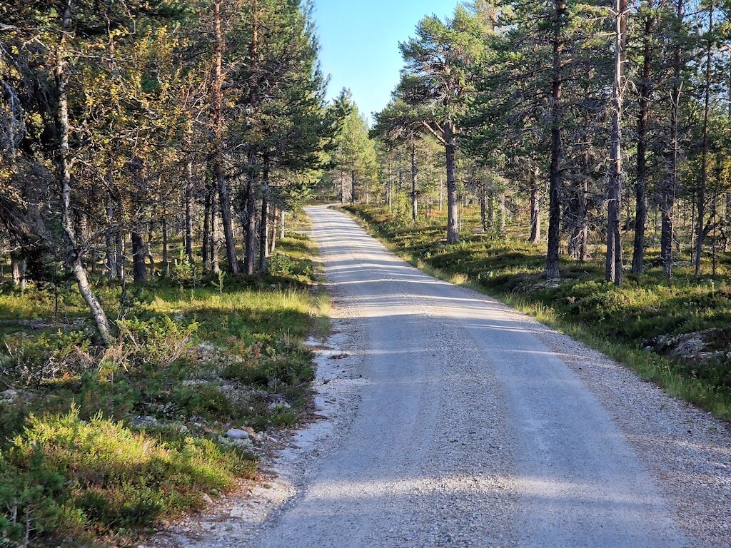
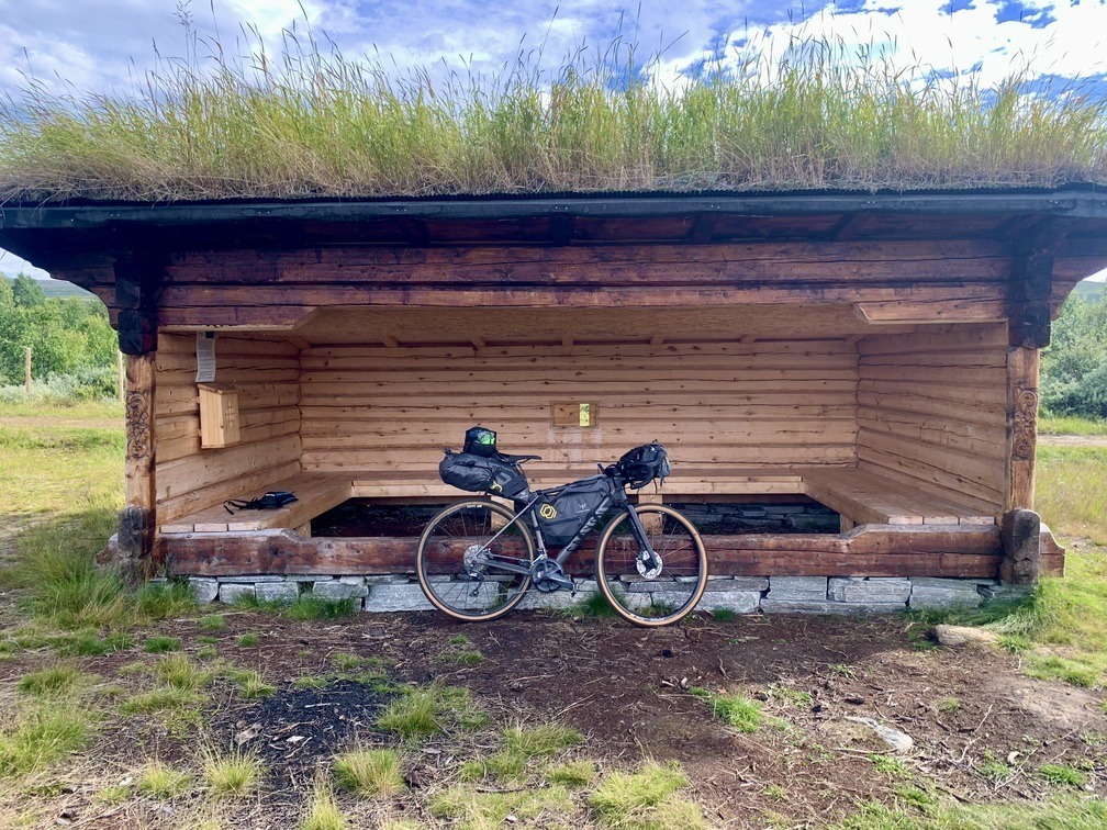
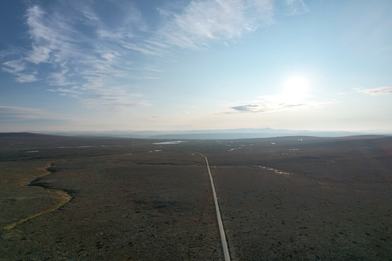
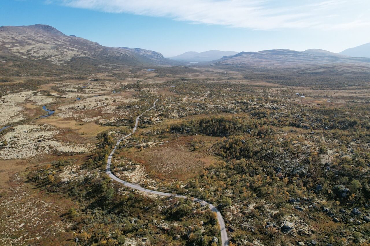
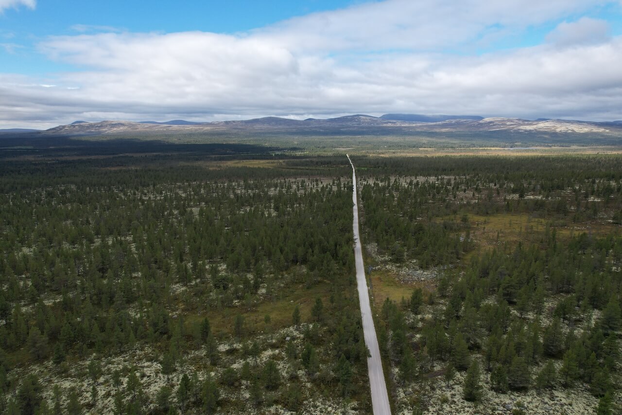
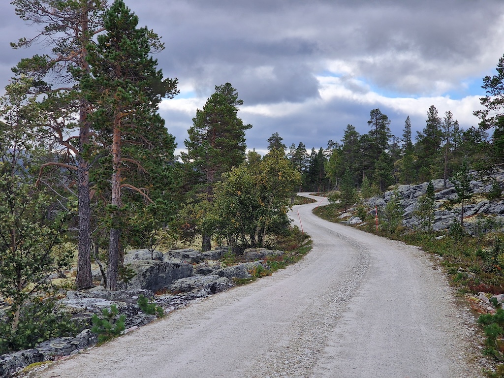
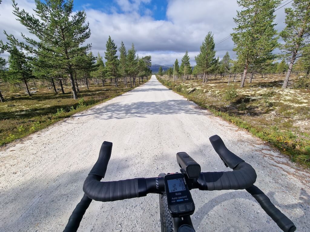
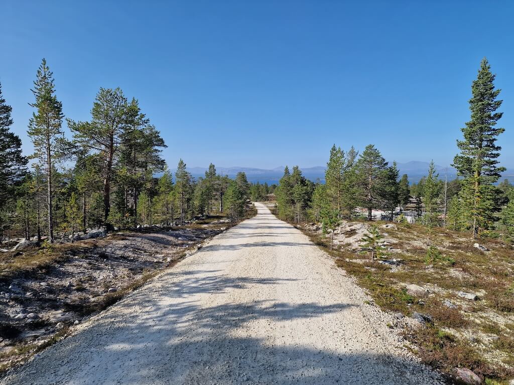
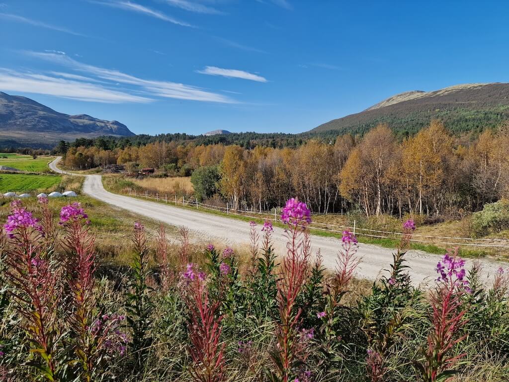
The final leg back toward Dombås crosses mountain gravel, forests, and alpine pastures, including the open landscapes of Grimsdalen. A handful of small villages offer rare opportunities to resupply before the route drops back into Gudbrandsdalen and closes the loop where it began. With more than 600 kilometres of riding and over 80% gravel, Route 8 resists easy comparison. It feels like an older Norway, shaped by distance, restraint, and seasonal movement, and for many riders, becomes the journey that quietly redefines what bikepacking can be.
Carte routière
Débloquez la carte complète de l'itinéraire POI
Join Cycle Norway to access the full route information.
Débloquez le contenu intégral
Devenez membre pour avoir un accès complet à :
- Détails des sections de l'étape et options de déviation
- Fichiers GPX et cartes interactives des POI
- Options de transport et logistique
- Recommandations d'hébergement
- Conseils de sécurité, points forts et plus encore
Pas prêt à rejoindre pour l'instant ?
Inscrivez-vous à notre lettre d'information et bénéficiez de ressources de planification gratuites :
-
Liste des bagages

PDF -
Carte de gravier
Aperçu -
Code cyclable
en Norvège
-
Itinéraires sélectionnés à la main
Testé par des experts locaux
-
Fichiers GPX et cartes
Pour une navigation facile
-

Informations fiables
Mis à jour régulièrement
-

Soutenir le voyage durable
Voyagez de manière responsable en Norvège