


638 km
Entfernung
11061m
Höhengewinn
4-10
Tage
76%
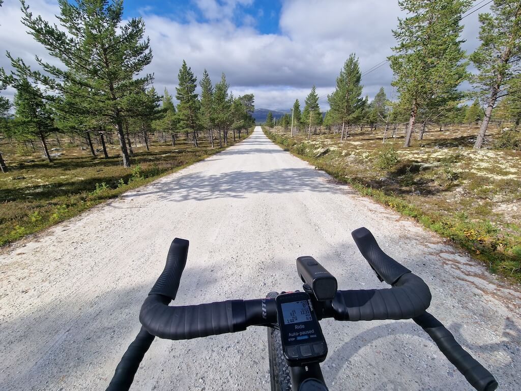
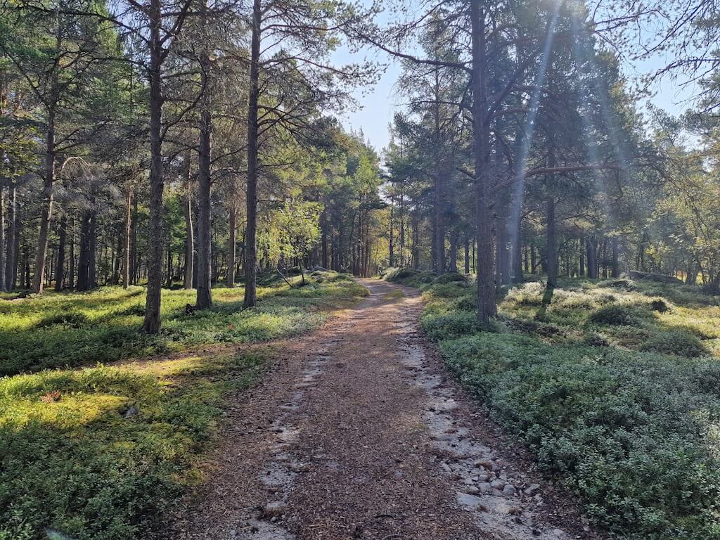
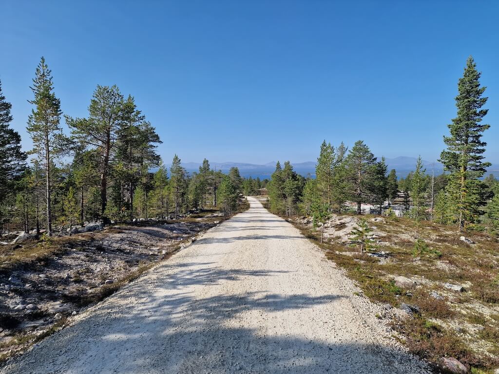
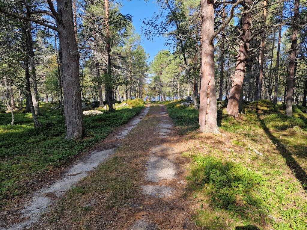
Unbefestigt
7/10
Schwierigkeit
40-45mm
Idealtypen
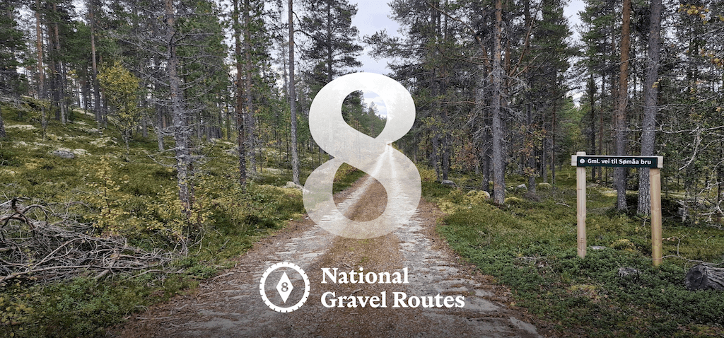
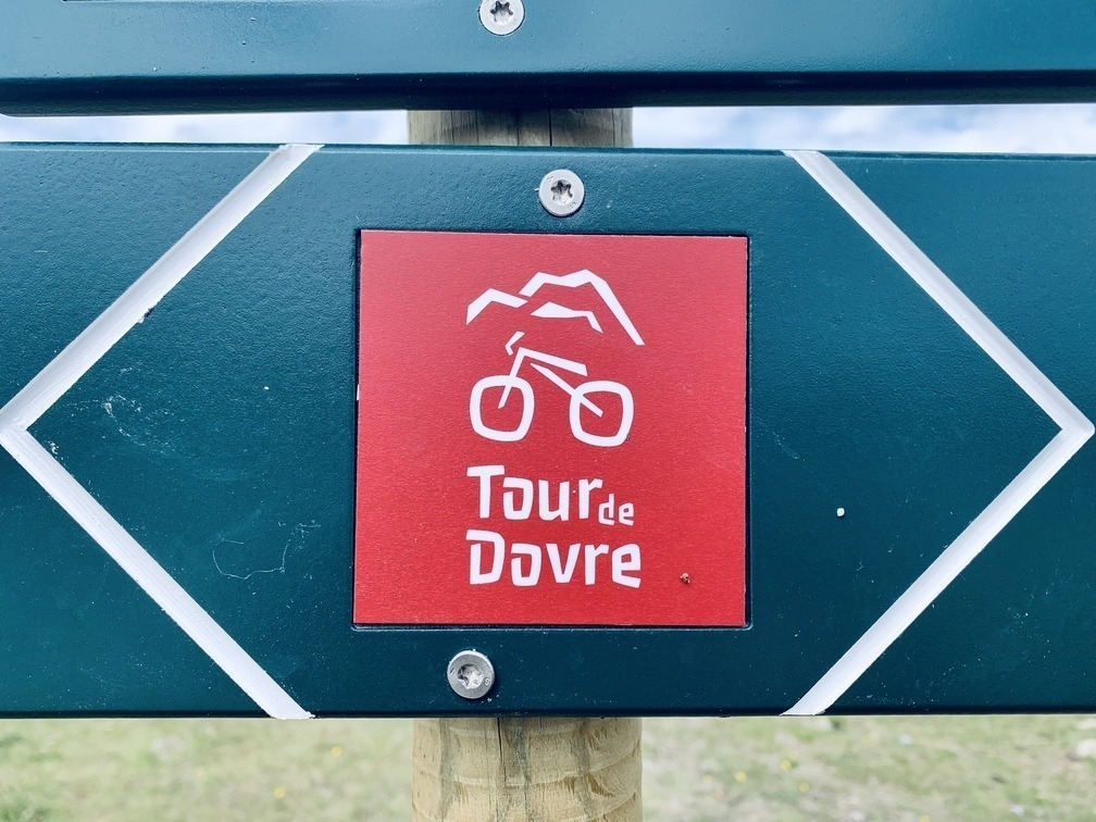
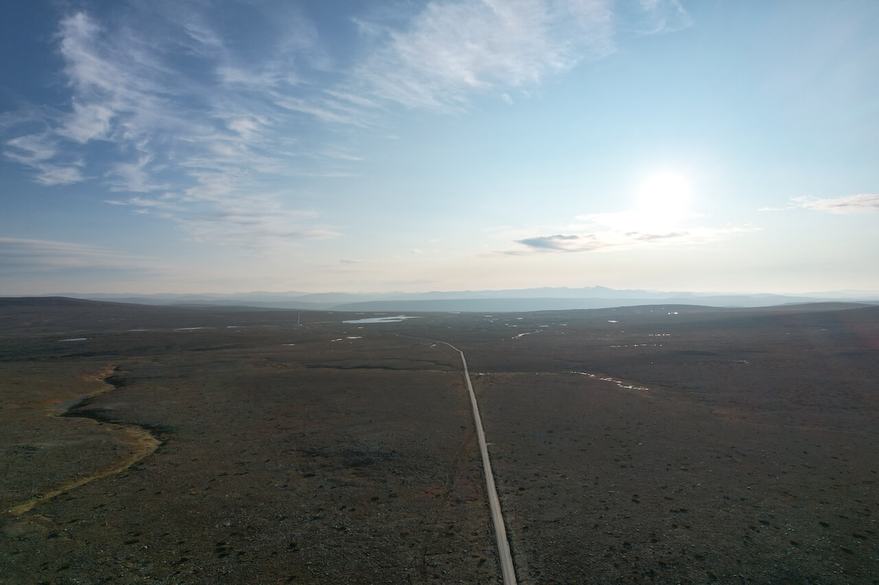
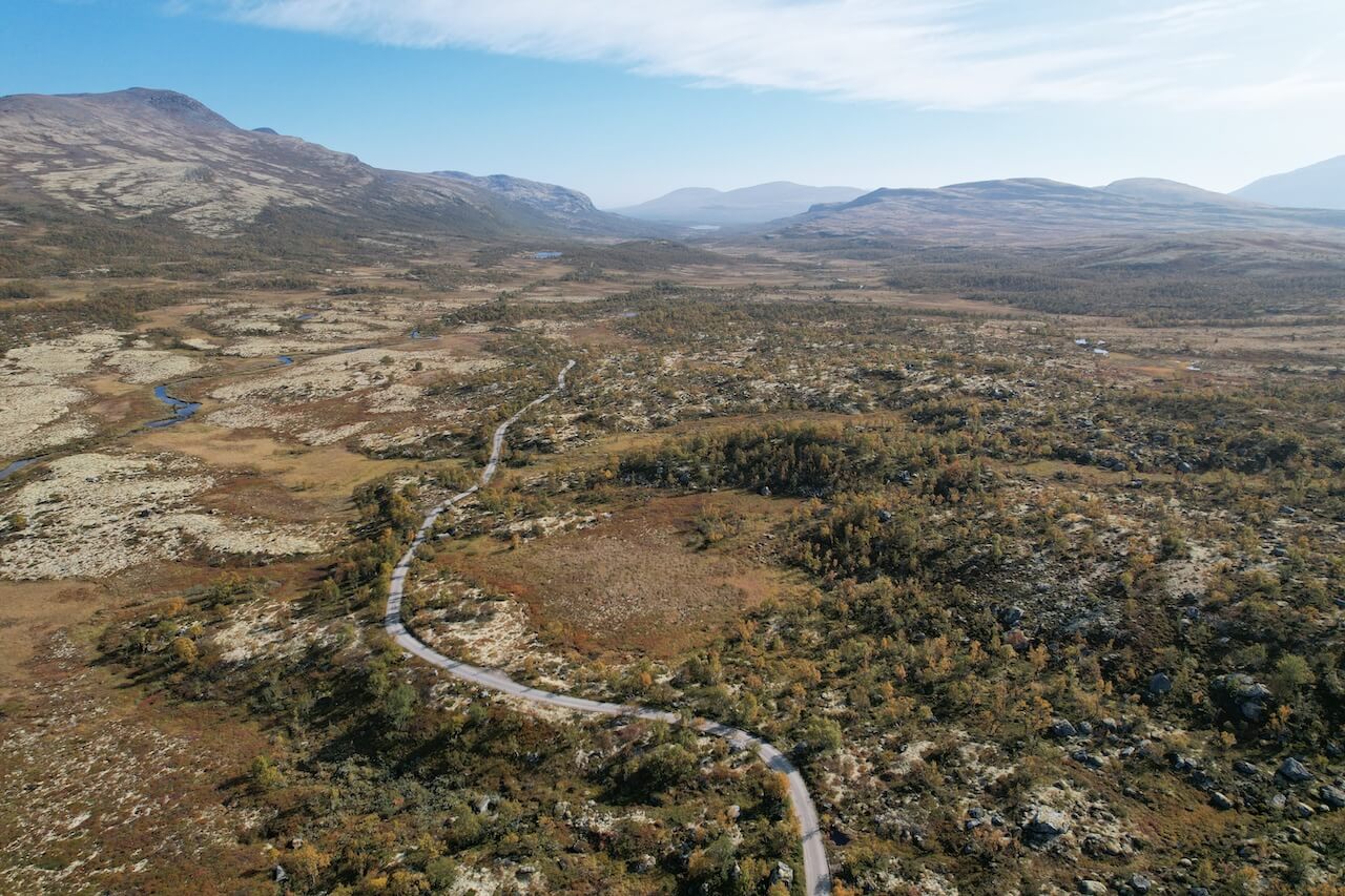
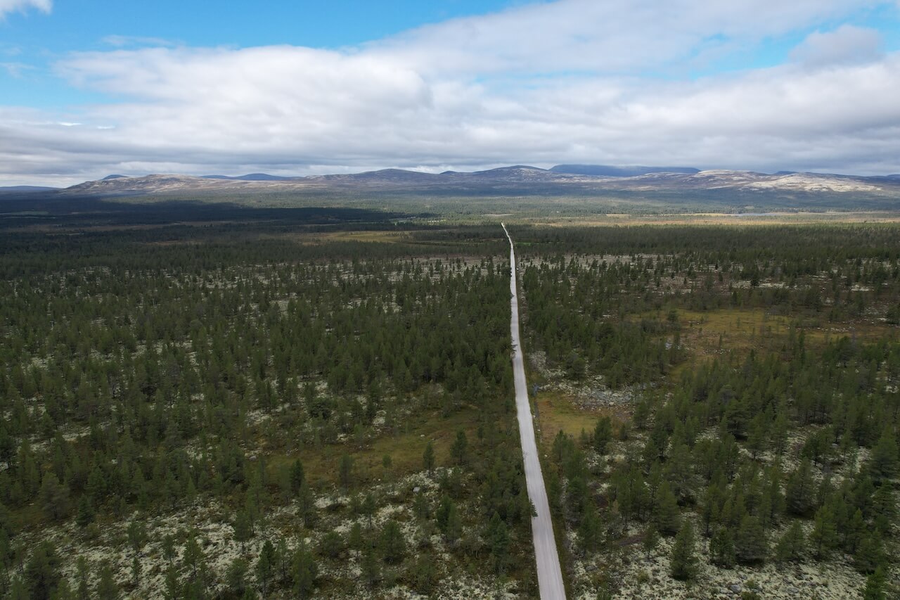
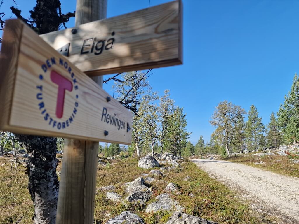
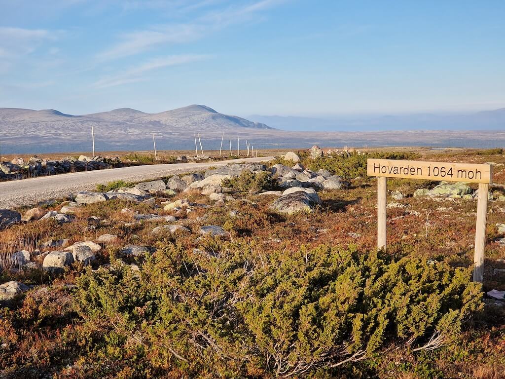
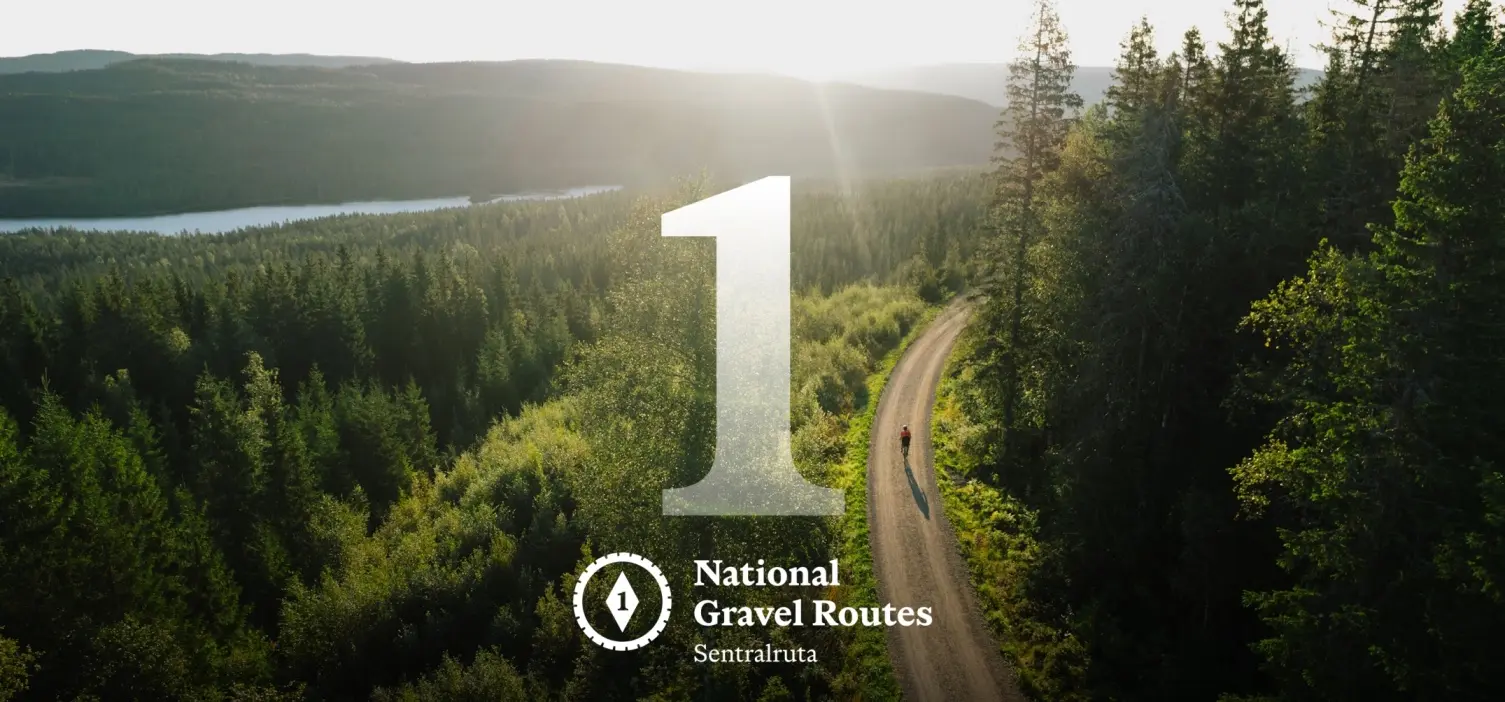
Nationale Gravelrute 8: Østlandsviddene
Routenplan
Wann?
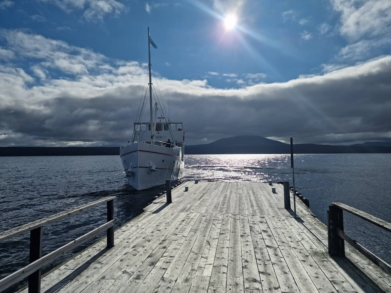
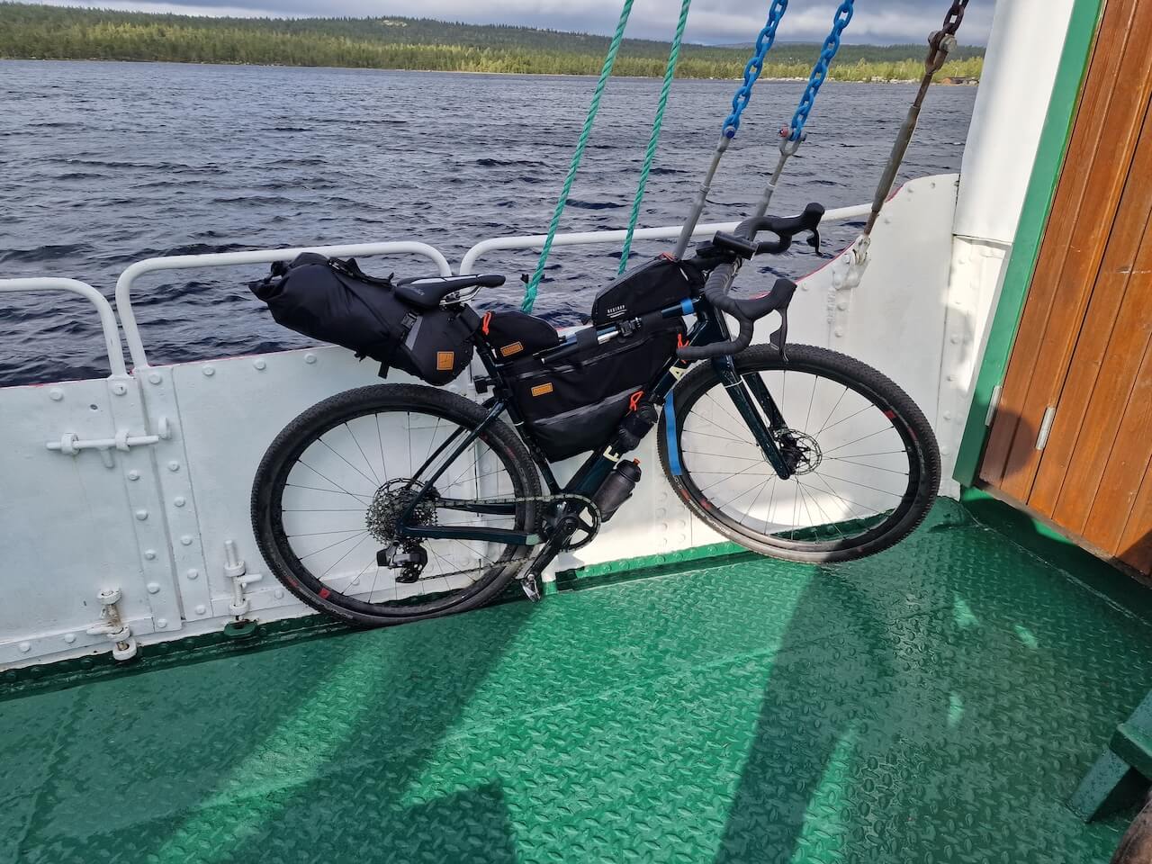
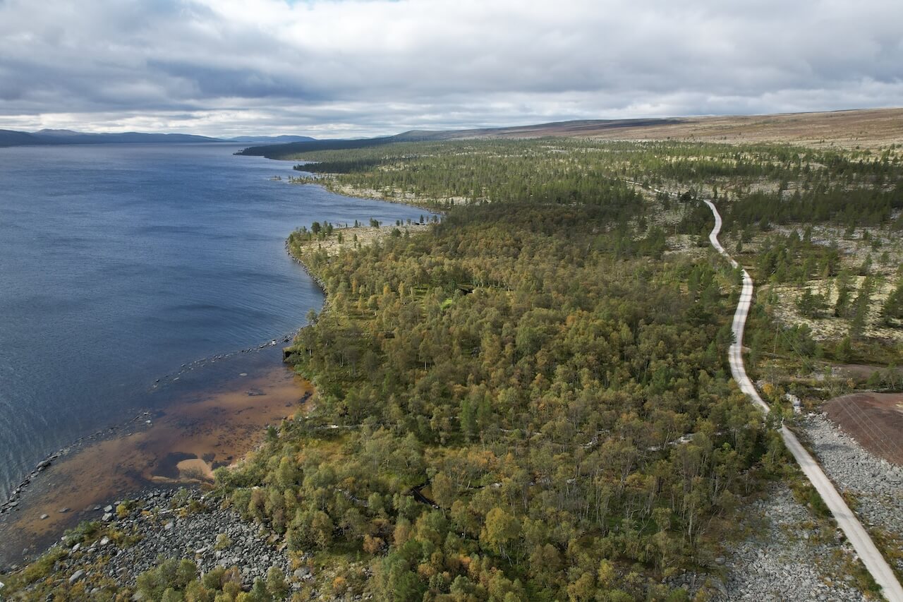
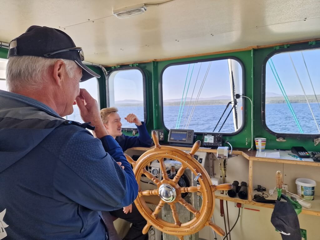
Most of the route is usually rideable by early to mid-June. The boat across Femunden Lake operates from mid-June until the second week of August, then on a reduced schedule (3 days per week) until early September. You can find the full timetable here.
If riding in September, you can skip the boat section with a pleasant detour away from the lake.
Ankunft
Røros:
- South: Oslo – Hamar – Røros train (bike space can not be booked in advance). You must change trains in Hamar
- North: Trondheim – Røros – Hamar train (bike space can not be booked in advance)
Dombås:
- The town is connected by the Oslo – Trondheim Rail line. The company that runs this line (SJ) has limited bike storage (5 max). You should book your tickets well in advance to ensure a space for your bike.
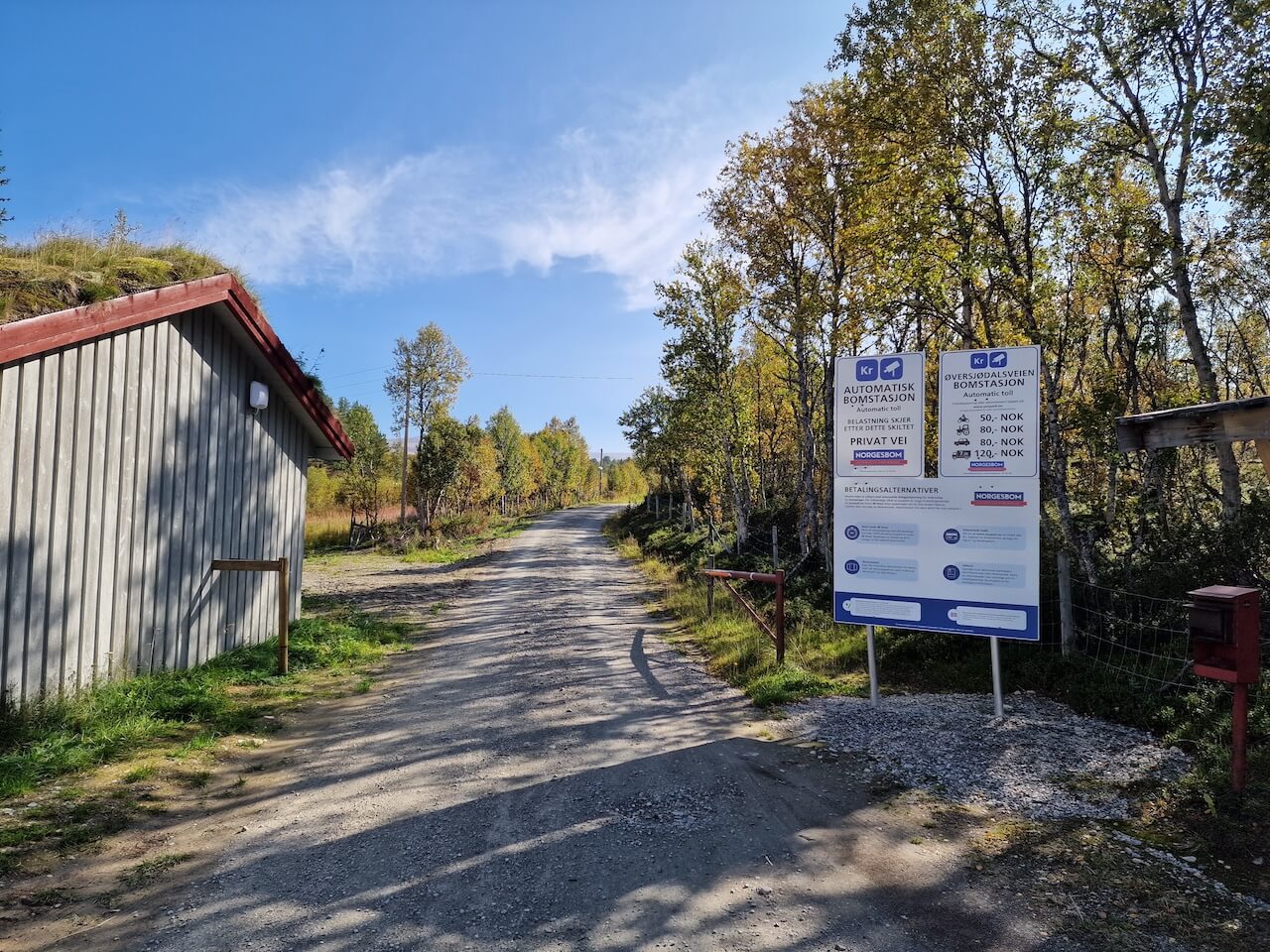
Gefahren
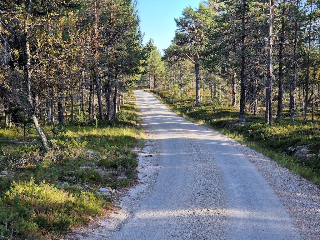
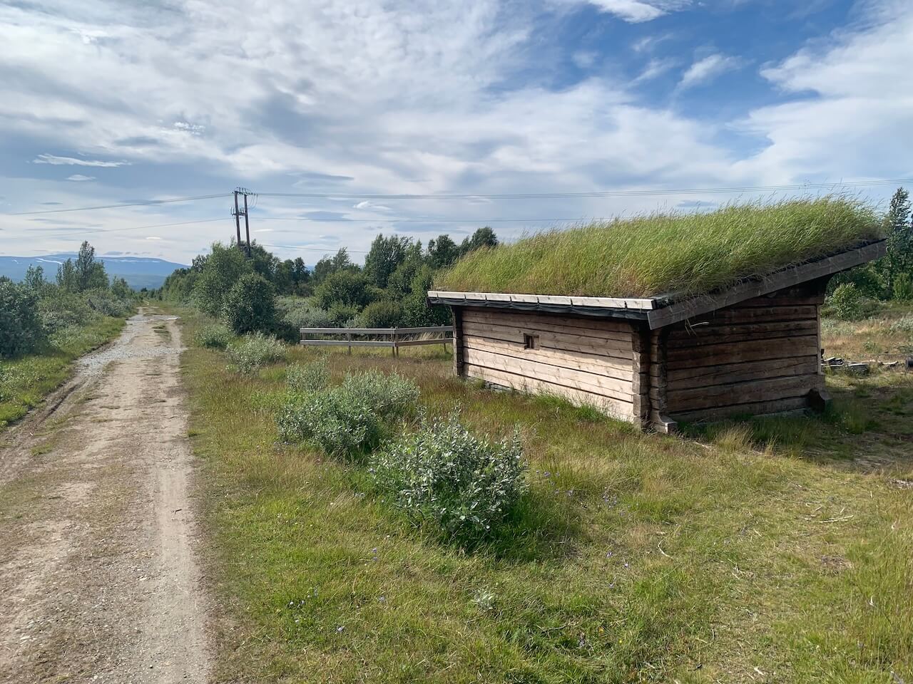
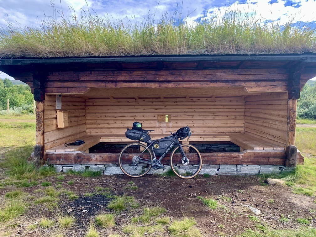
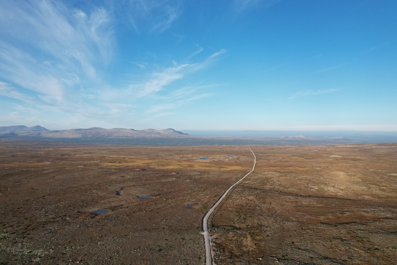
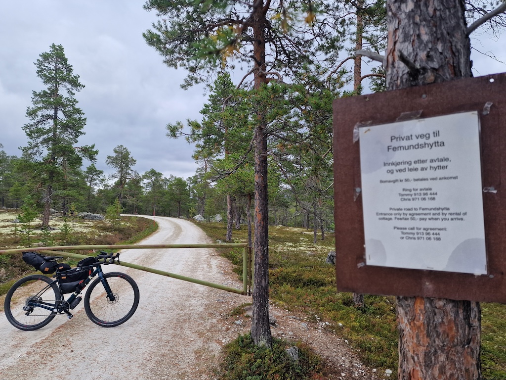
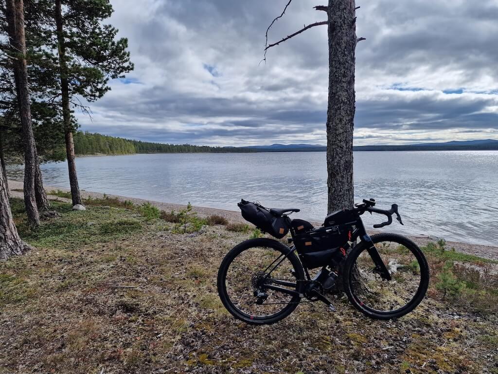
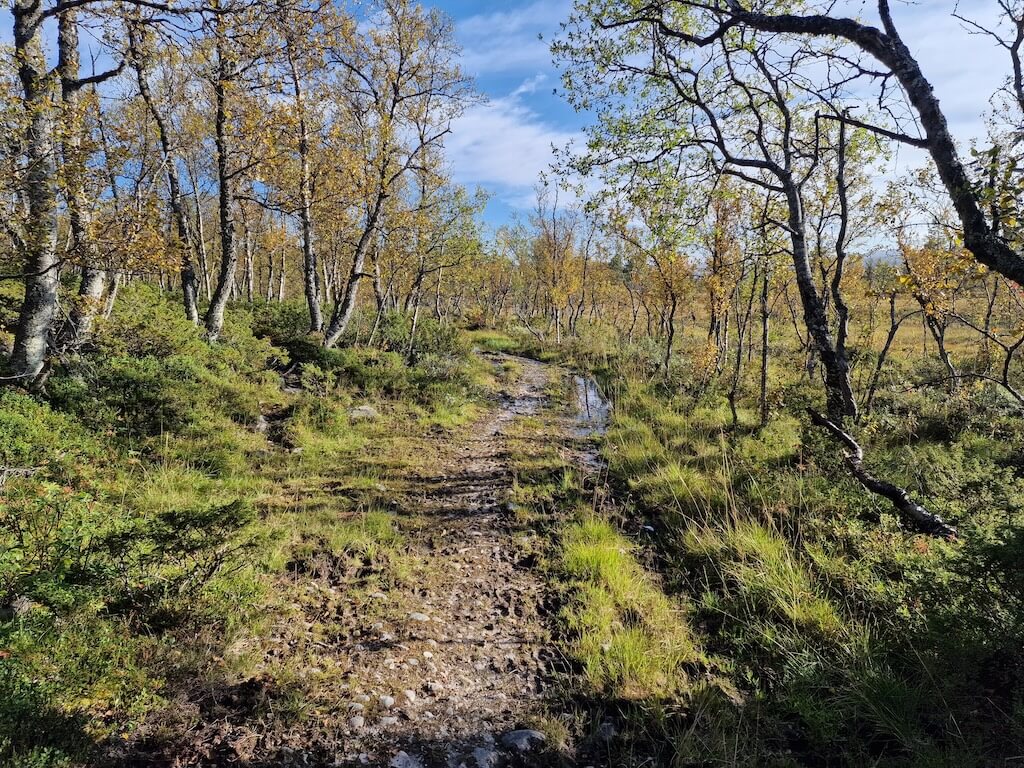
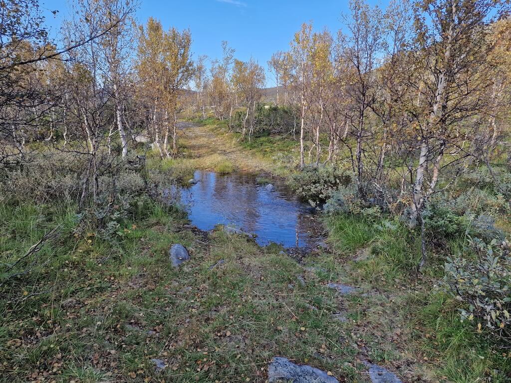
There are no busy or main roads to worry about on this route. However, there are some short hike-a-bike sections and small streams to cross. Sections of the route can be flooded, and wet feet may be expected at times.
Fahrradverleih
Bike Rental Options – Only MTB Bikes are available in this area. If you’re looking for something else consider renting in Oslo or Trondheim and taking it on the train.
-
- Røros
- Elgå – Femundsmarka National Park Visitor Center (MTB)
- Dombås – hjerkinn.no

This should be a world-famous gravel route, yet it remains largely unknown, with so much untapped potential.
Lokale Empfehlungen
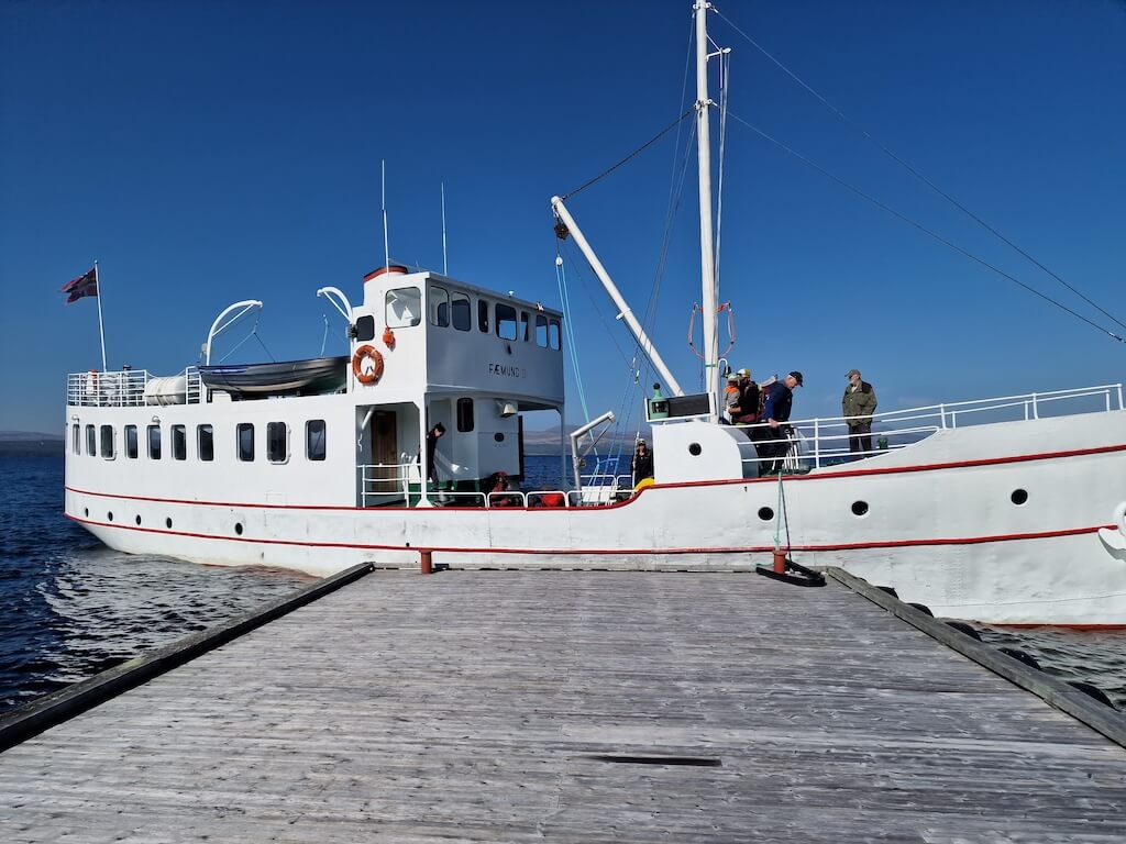
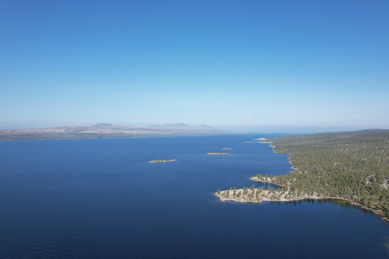
MS Fæmund II
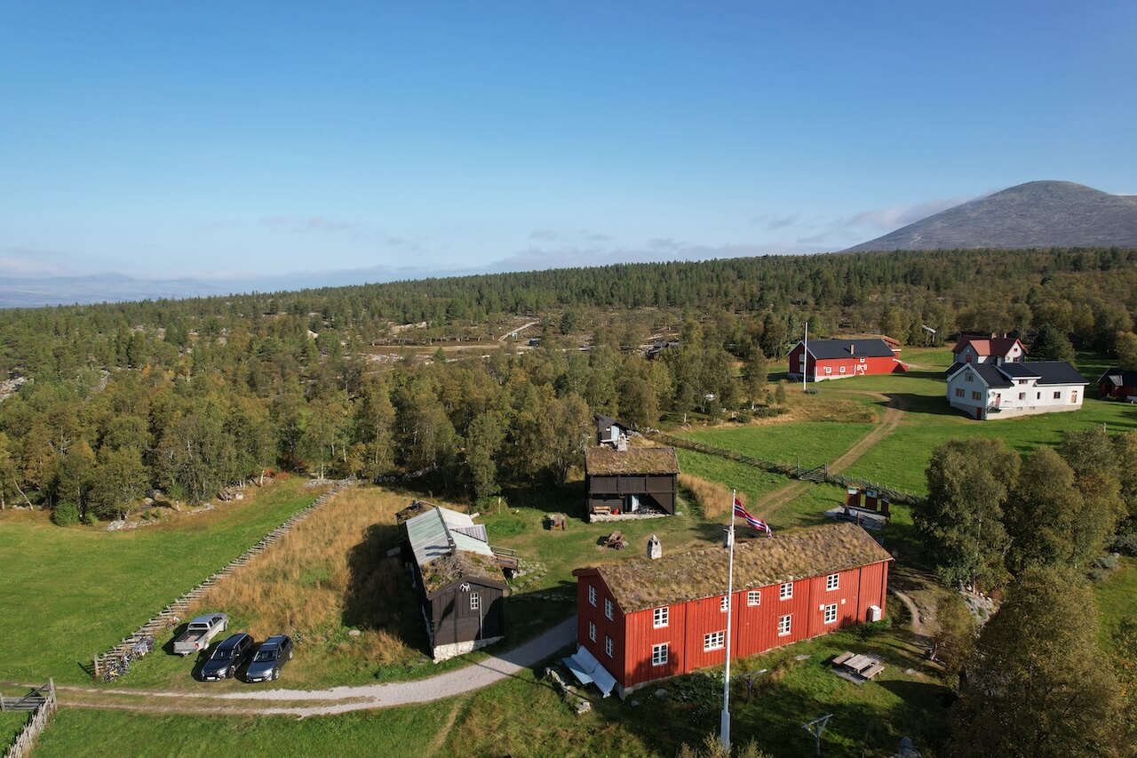
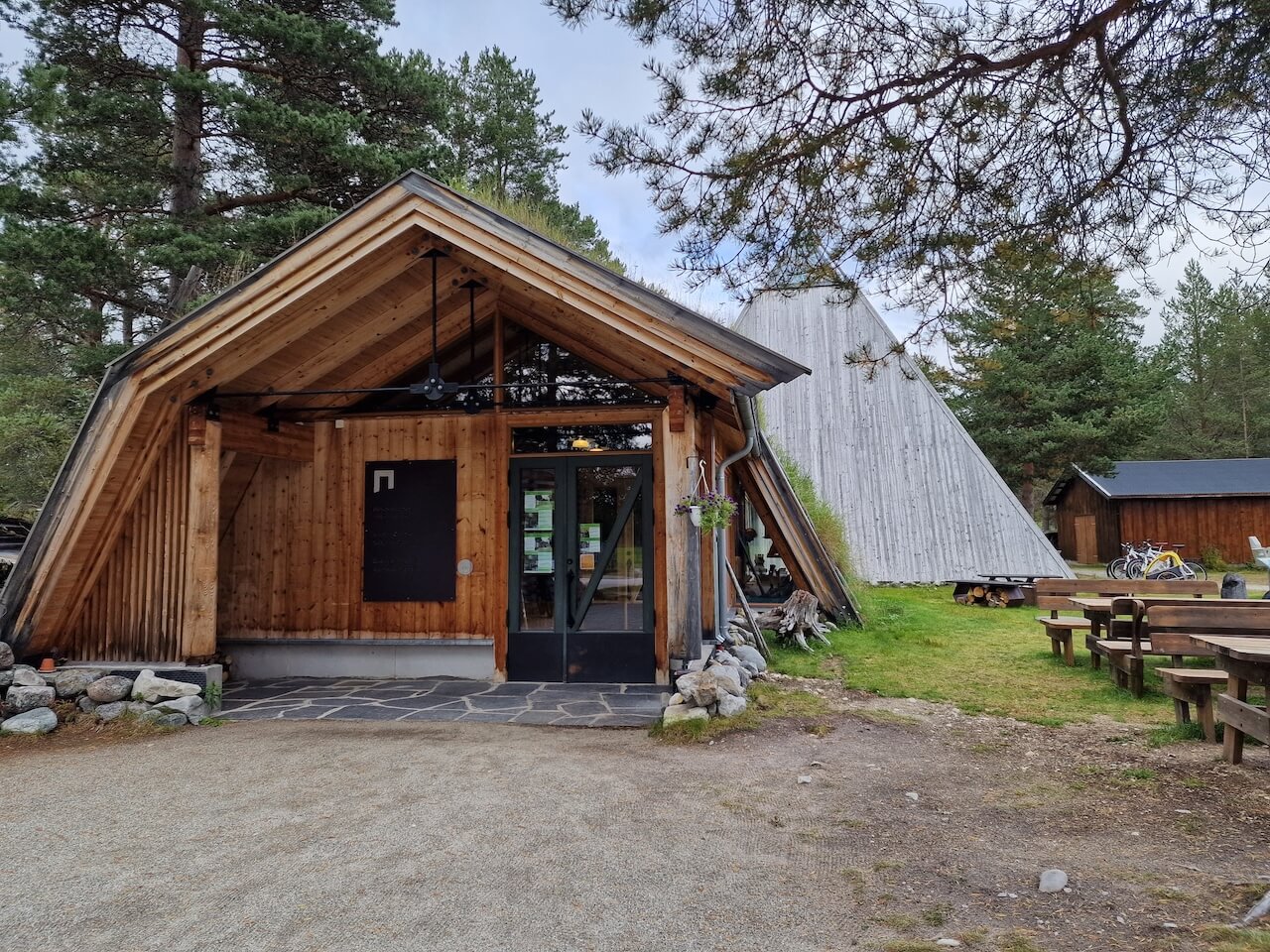
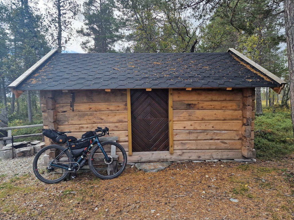
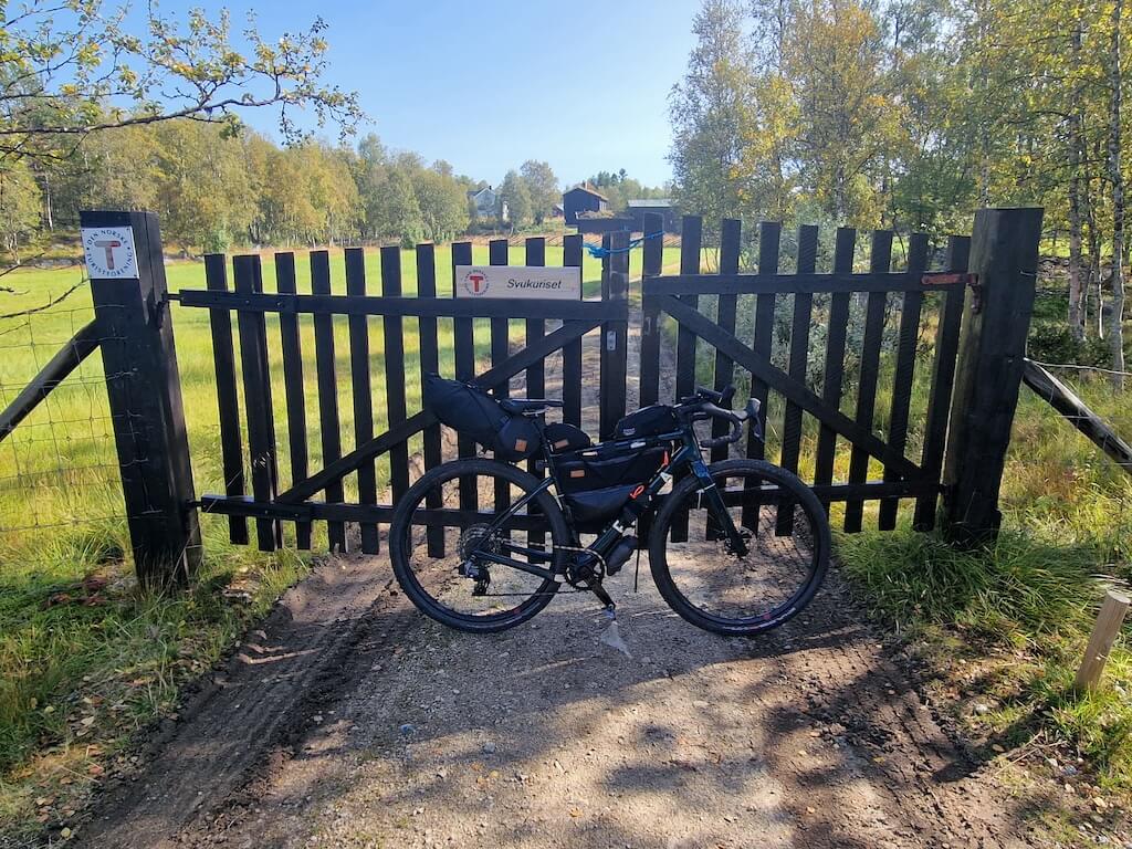
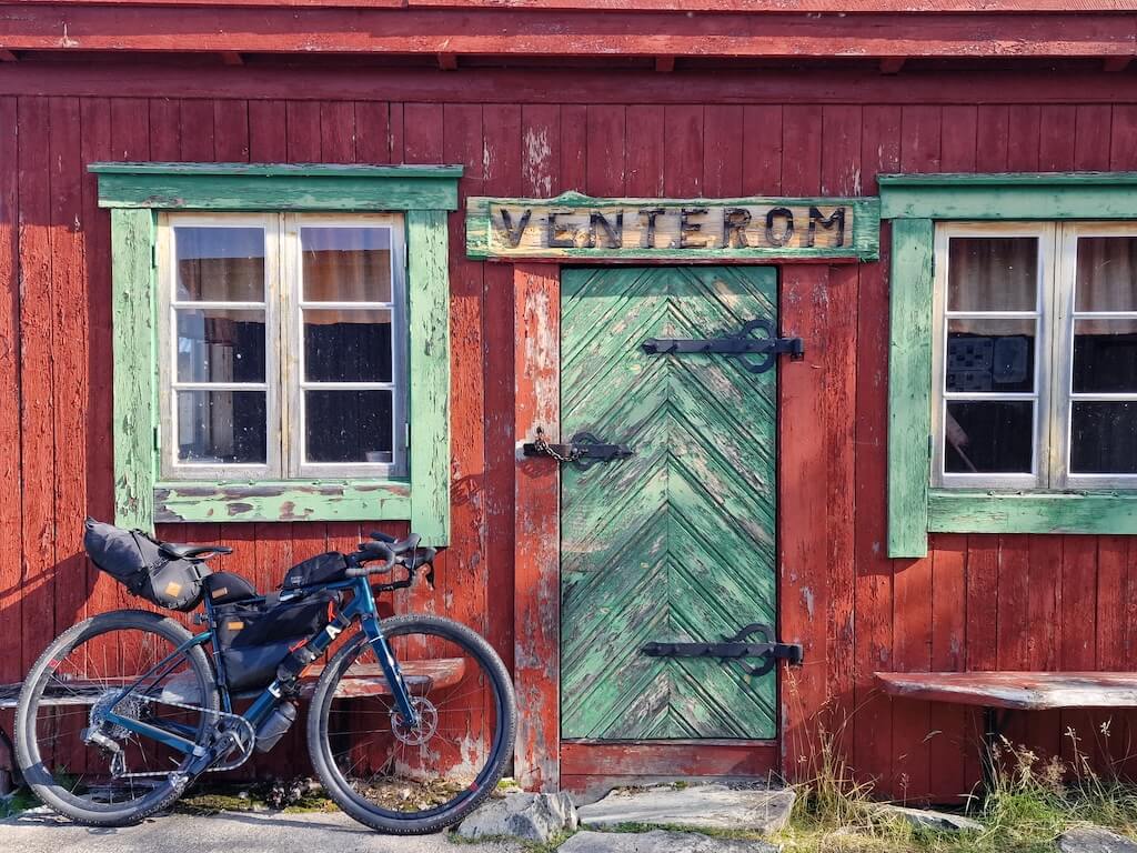
DNT Svukuriset
Located at the edge of the wilderness near Femundsmarka, DNT Svukuriset is one of Norway’s most remote mountain lodges that can still be reached by bike. Surrounded by forests, lakes, and endless gravel roads, it provides a rare chance to sleep, eat well, and experience a part of Norway where life moves at a very slow pace. For many riders on Route 8, it becomes one of the journey’s must-overnighters
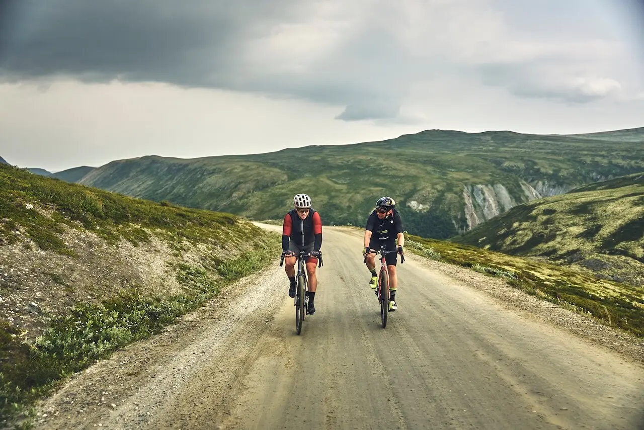
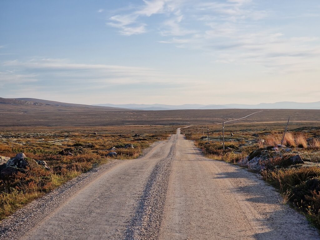
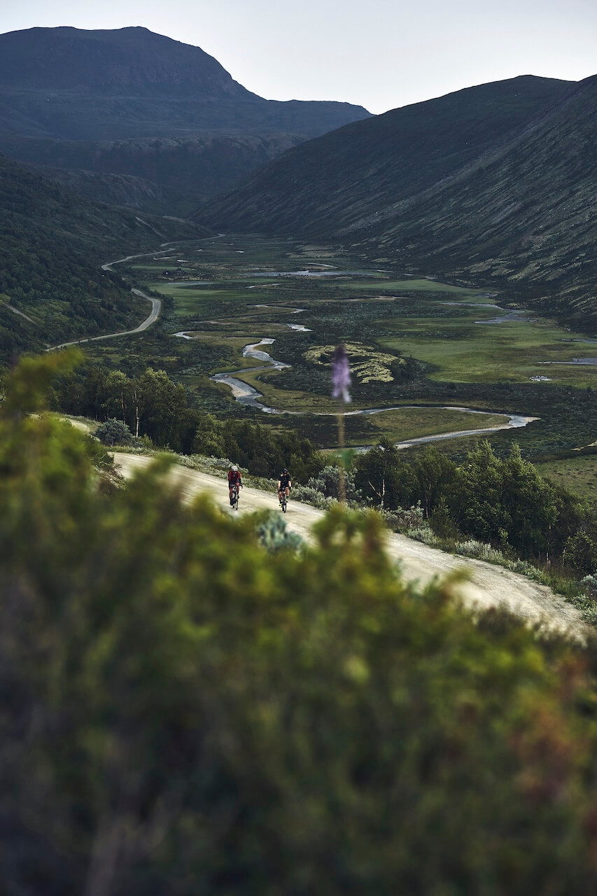
Grimsdalen
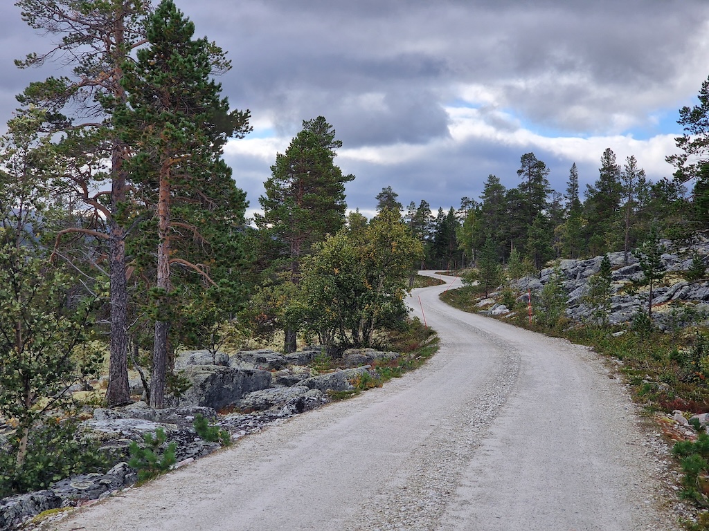
Grimsdalen is often considered one of Norway’s finest mountain valleys — a long gravel corridor surrounded by high peaks, old summer farms, and open landscapes that seem untouched by time. With very little traffic and views in every direction, it is the kind of place that reminds you why long-distance gravel riding in Norway is so special.
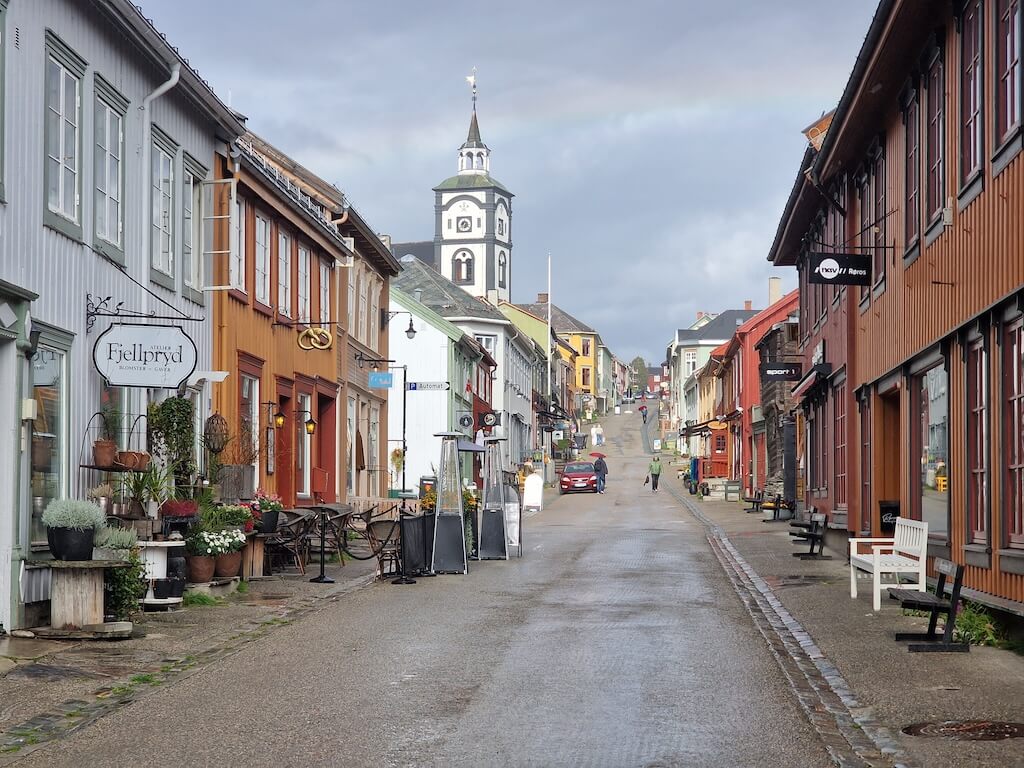
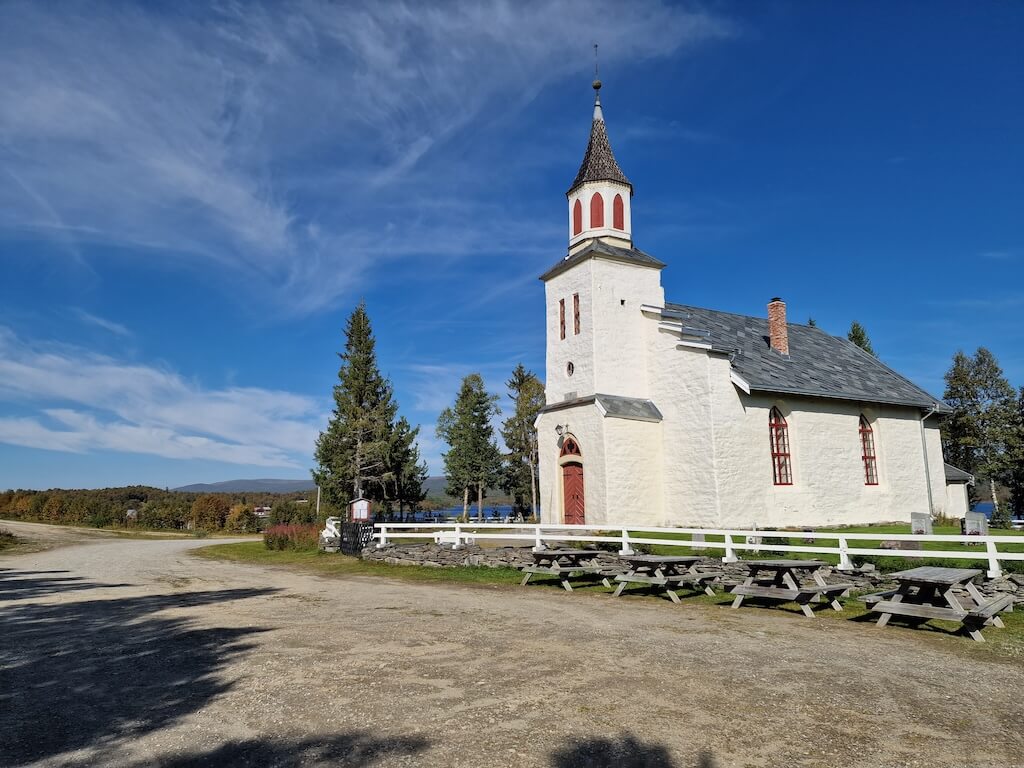
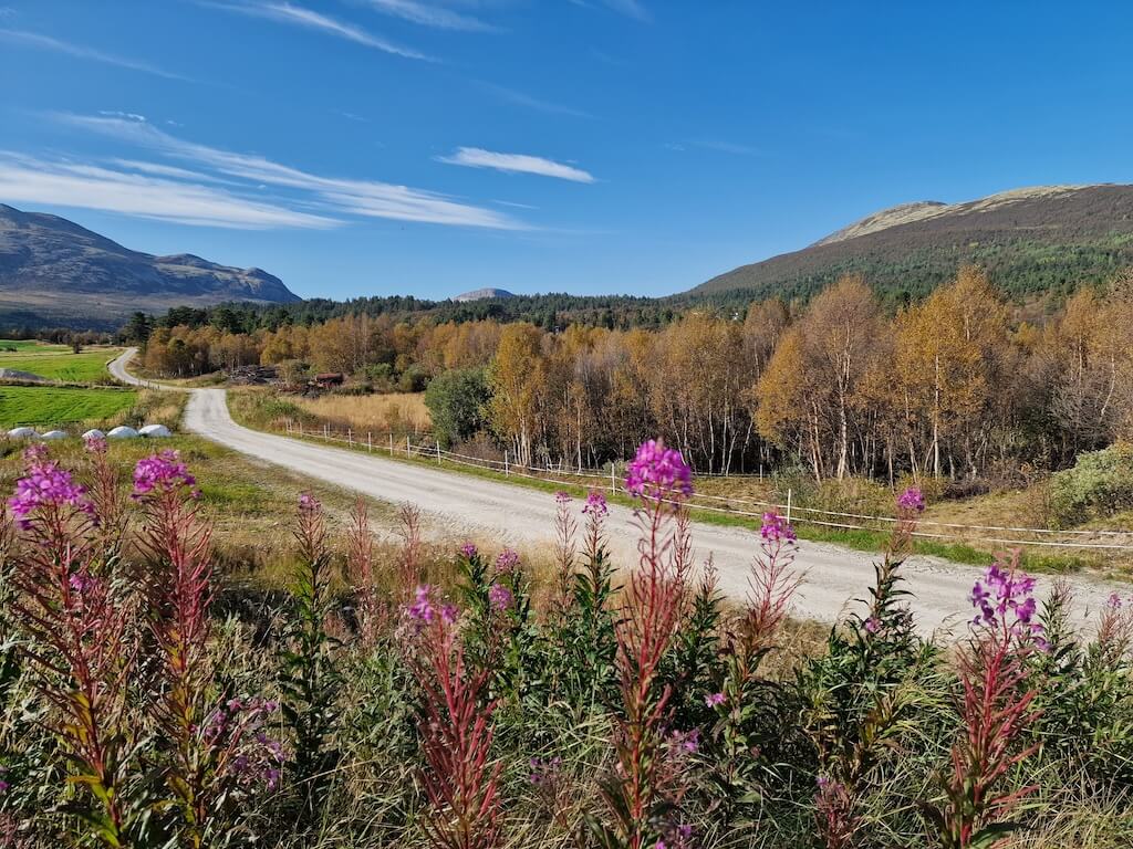
Røros
Nützliche Links
Booking.com – für Unterkunftsmöglichkeiten in ganz Norwegen
Entur App – zur Planung von Fahrten mit öffentlichen Verkehrsmitteln in ganz Norwegen
Fähren – Routen, Fahrpläne und Informationen von Statens Vegvesen
Wildcamping-Etikette – wichtig zu wissen
Weiterführende Literatur

Beachten Sie
Alle auf CYCLENORWAY.com veröffentlichten Radrouten dienen als Planungsressource und Inspirationsquelle, die Sie in Verbindung mit Ihrer eigenen Recherche und Ihrem Urteilsvermögen nutzen sollten. Die Routen werden mit sorgfältiger Recherche erstellt, aber jeder Radfahrer hat unterschiedliche Fähigkeiten, Erwartungen und Risikobereitschaft. Einige Routen können Abschnitte mit Schiebe-/Tragepassagen, schlammige oder nasse Wanderwege, technisches Gelände, steile Anstiege, Abfahrten oder abgelegene Gebiete enthalten, die möglicherweise nicht für jeden geeignet sind. Routendaten, Kartensoftware und Bedingungen können sich auch ändern oder Ungenauigkeiten enthalten. Radfahren in Norwegen ist im Allgemeinen sehr sicher. Wenn Sie sich dennoch entscheiden, diese Routen zu befahren, tun Sie dies auf eigenes Risiko.


Schreibe einen Kommentar