


610km
Distance
9951m
Elev. Gain
5-12
Days
60%
Unpaved
8.5%
Difficulty
40-50mm
Ideal Types
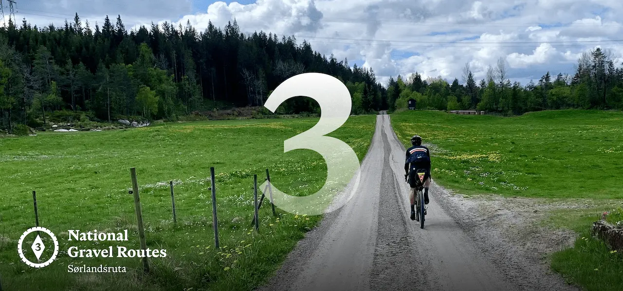
National Gravel Route 3: Sørlandsruta
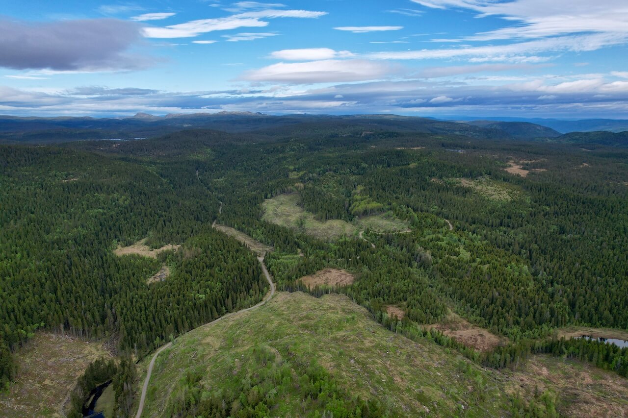
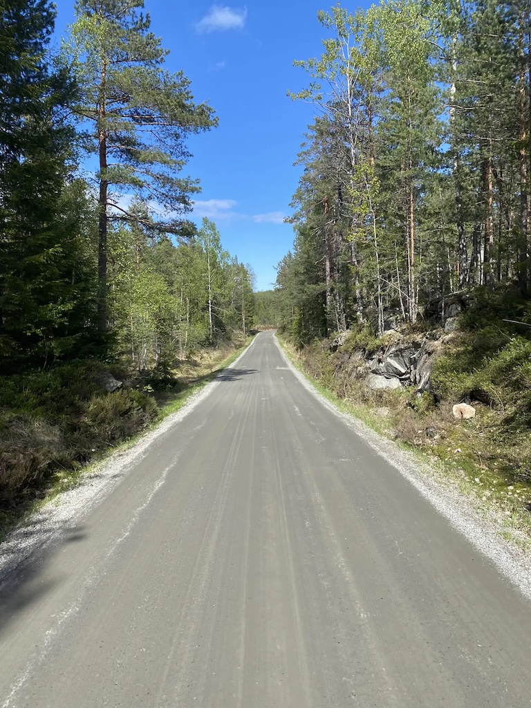
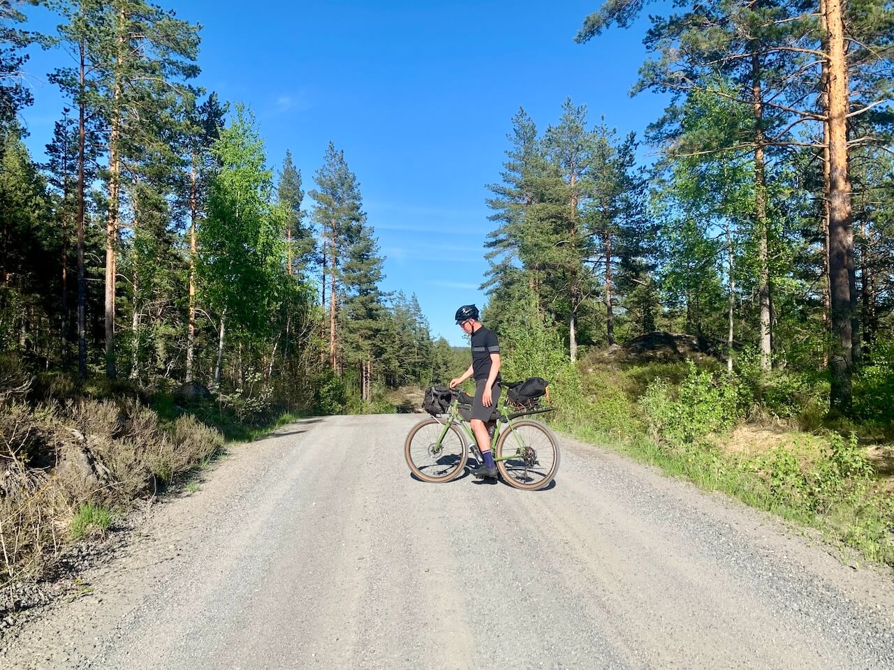
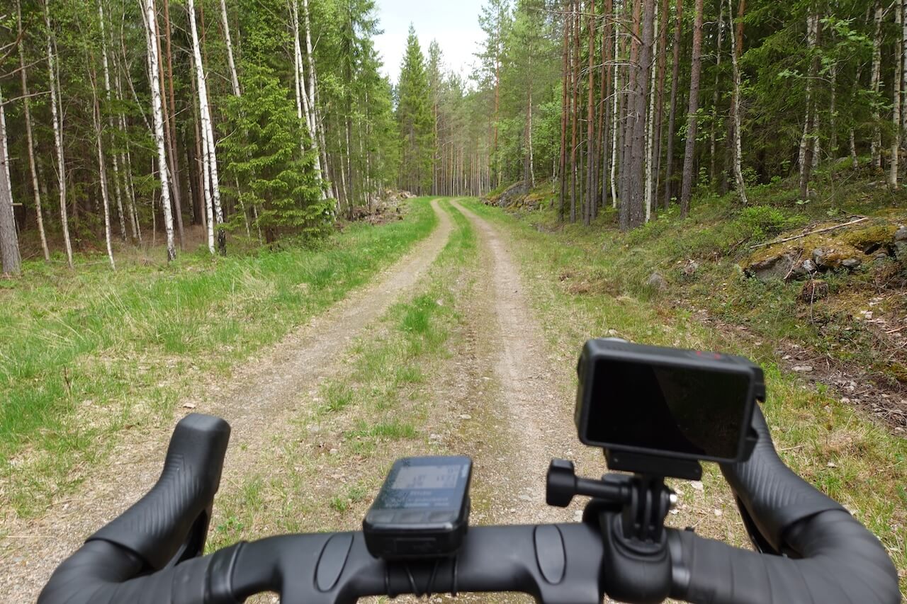
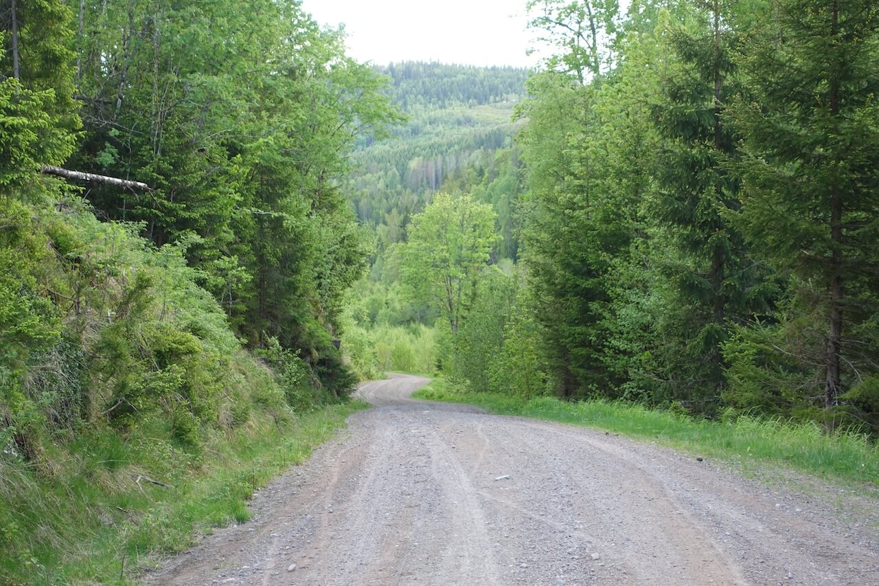
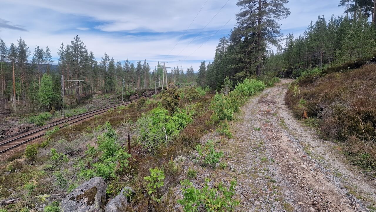
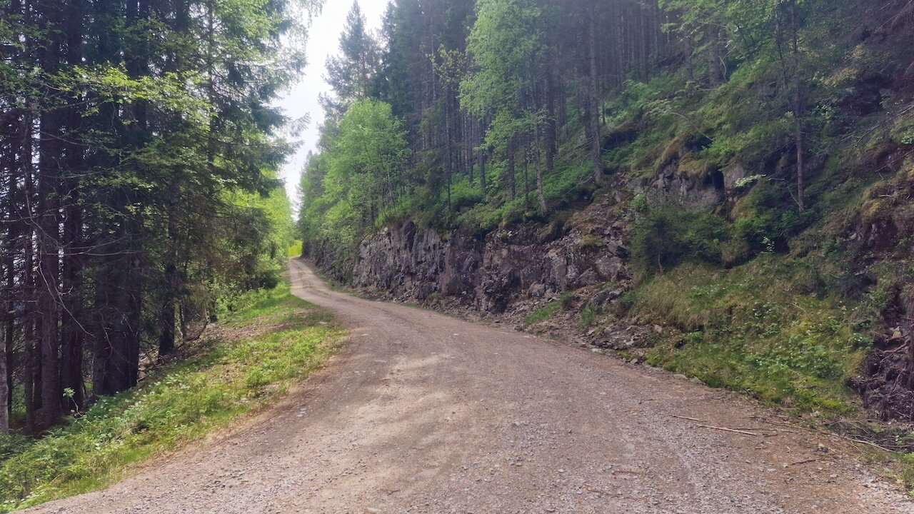
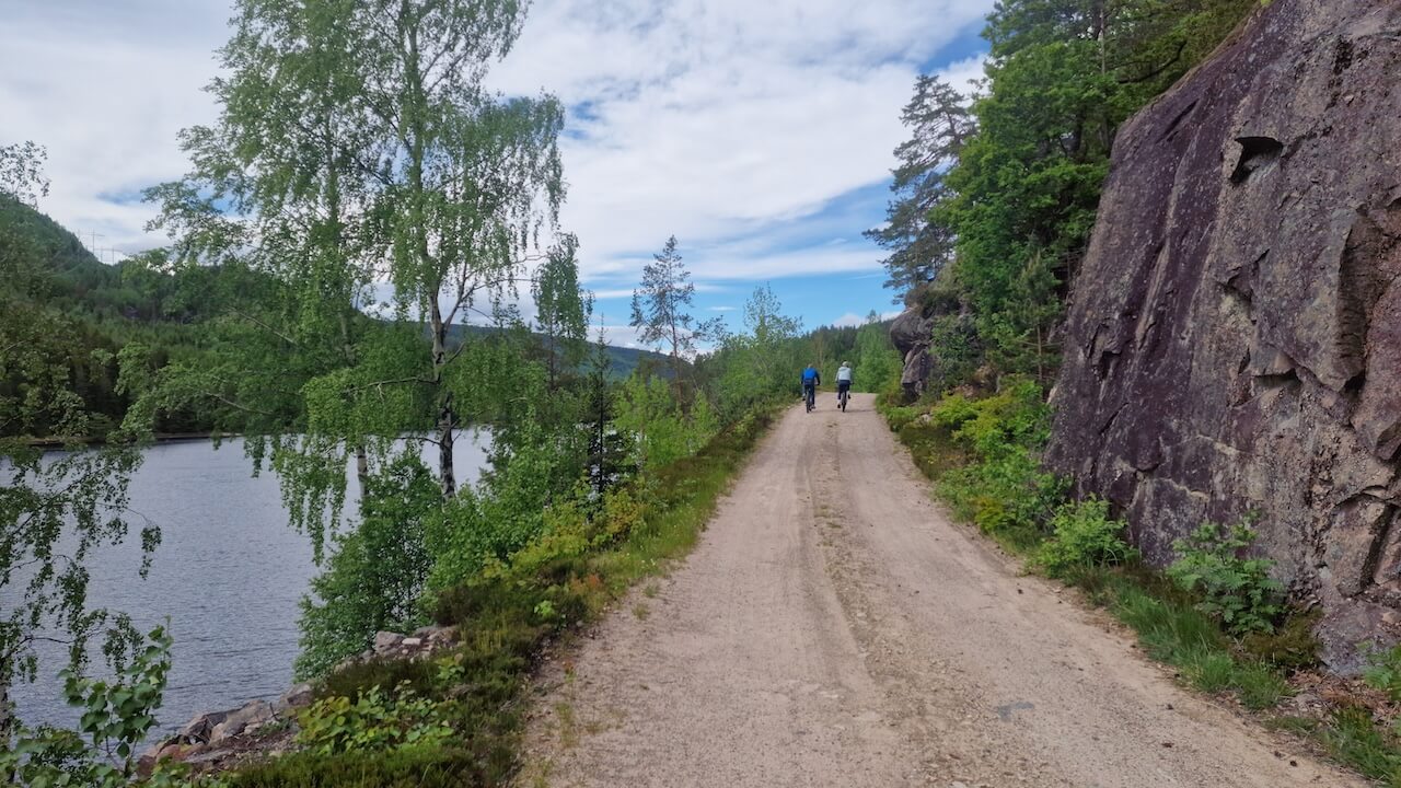
Route 3 runs from Oslo southwest through Vestfold, Telemark, and the length of Agder to the border of Rogaland, staying firmly in Norway’s southern interior. The route leaves the urban areas quickly, entering a sparsely populated landscape of pine and birch forest, river valleys, and old farming ground that sets the pace of travel. Rather than chasing viewpoints, it follows historic inland corridors shaped by timber transport, early infrastructure, and rural labour.
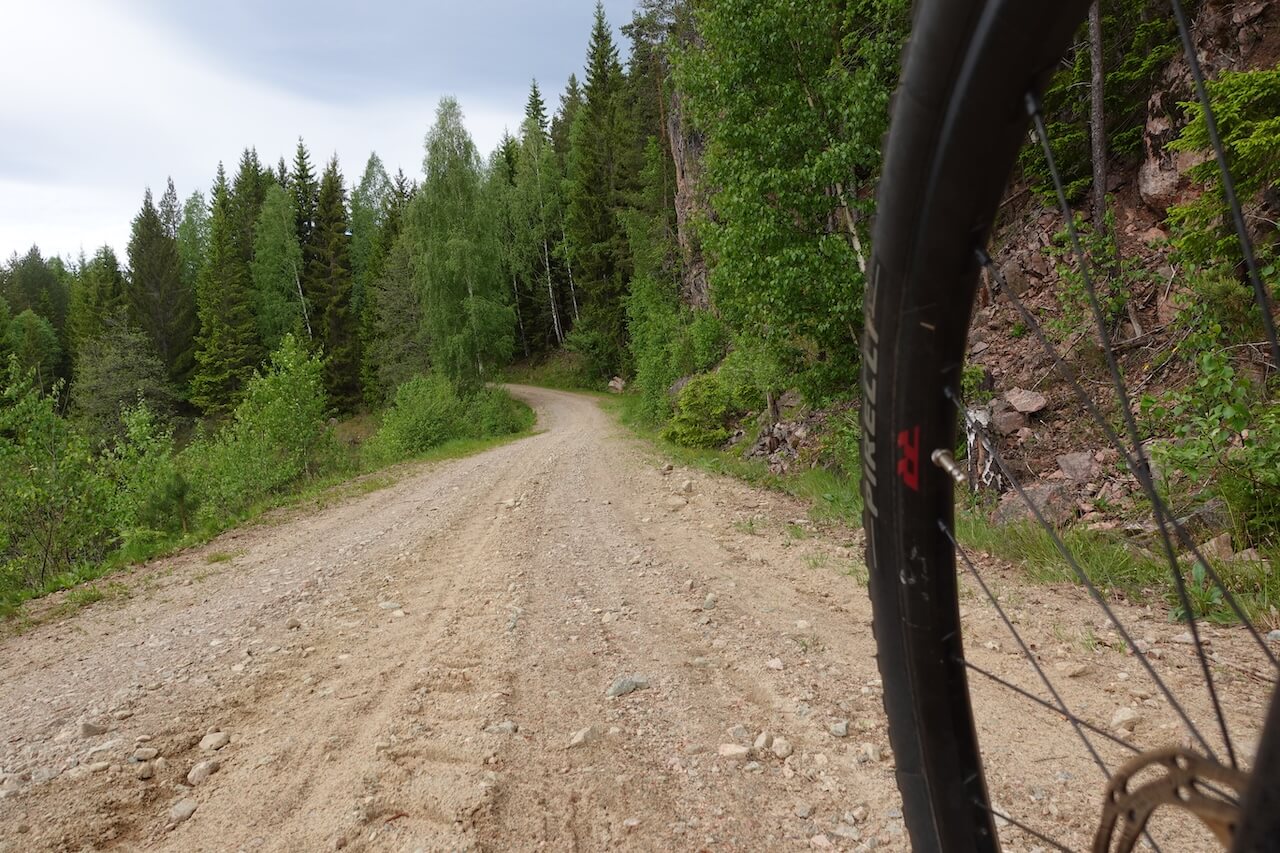
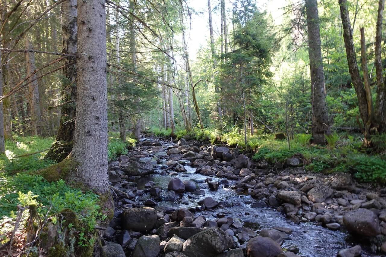
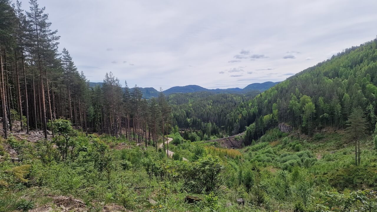
Along the way are quiet traces of that past, early engineering, abandoned rail lines, ancient trees, and paths once used by migrating workers and children walking between farms. Gravel is pieced together where it still exists, creating a demanding route defined by steady climbing and long distances, offering a rare, continuous traverse of southern Norway guided by necessity and inland geography rather than the coast.
Route map
When?
Snow is usually gone from this route by mid to late April. Riding conditions are generally good from late April through October. Early-season riding often brings cool mornings, mild daytime temperatures, and quiet roads, making it an excellent time to ride in this southern region, but some areas may be damp and muddy in places. I rode the route in early May and found the temperatures comfortable and well-suited to steady, all-day riding. Autumn riding into September and early October is also possible, though shorter daylight hours and wetter conditions should be expected. The route can be cycled from either direction
Getting there
Sira is located on the Oslo–Stavanger (Sørlandsbanen) railway line, making this route easy to access by public transport with a bike. Sira. Direct train connections to Stavanger (around 2–2.5 hours) and Oslo (around 5 hours). Bikes are allowed on these trains, but spaces are limited and must be booked in advance.
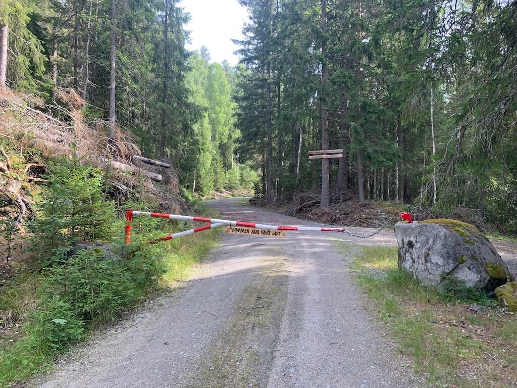
Hazards
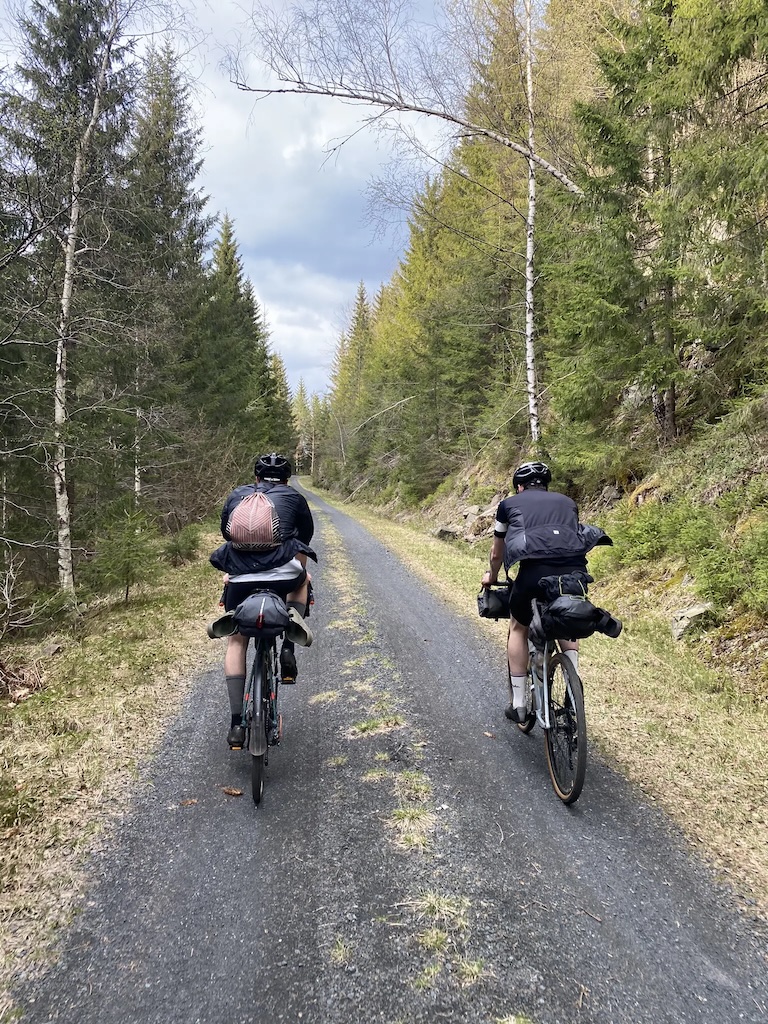
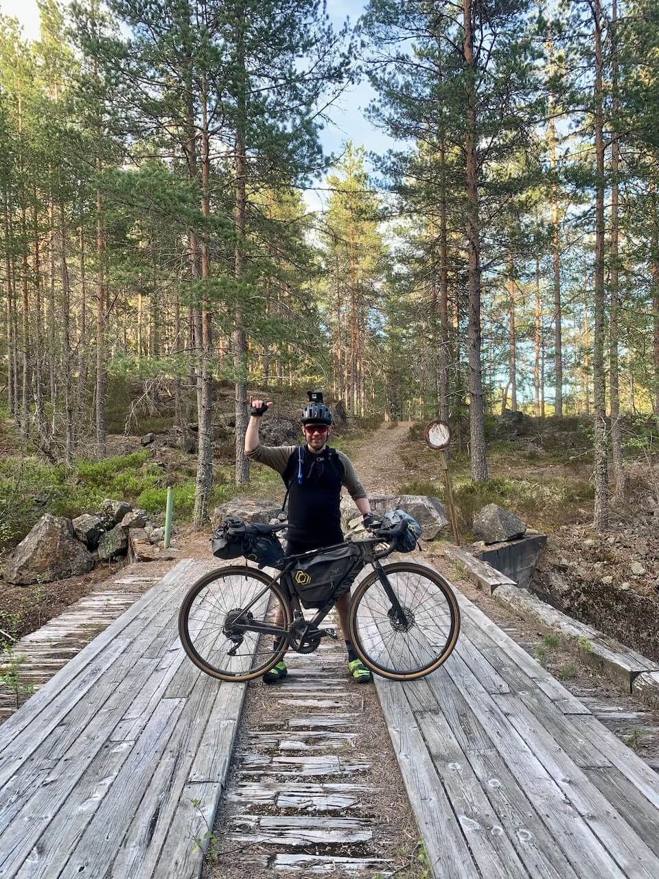
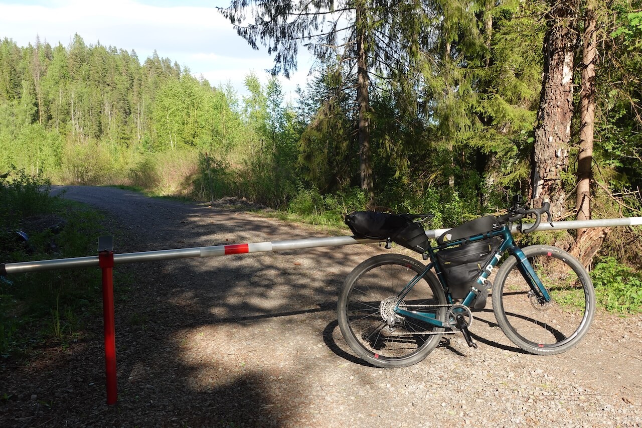
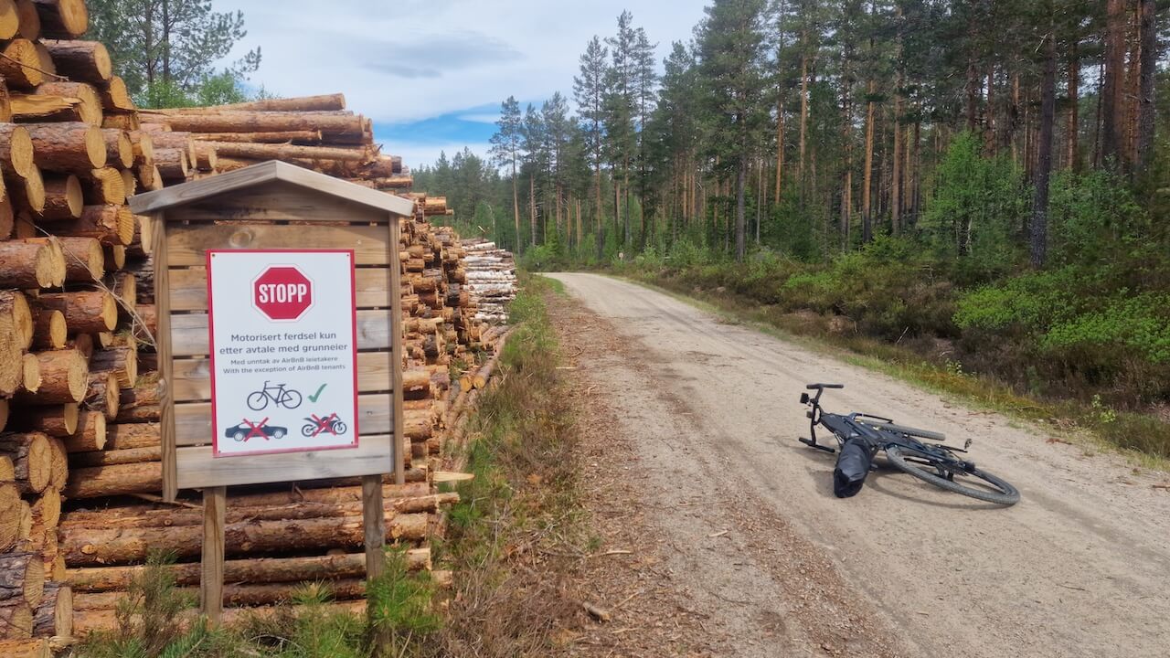
The biggest issue for most riders is the 1.6 km hike-a-bike section along old overgrown farm tracks. Early in the season this section can be wet, muddy, and difficult to pass. In summer you may be able to ride short parts, but expect to push your bike for much of it.
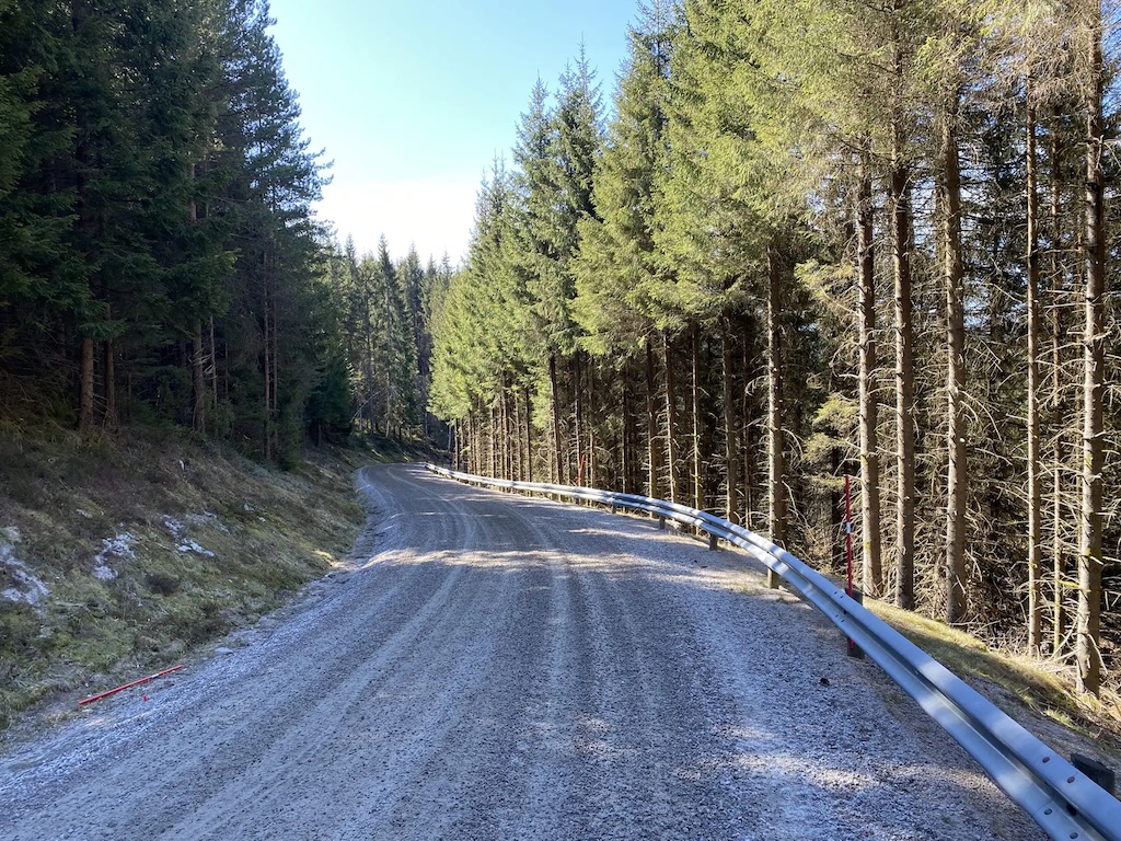
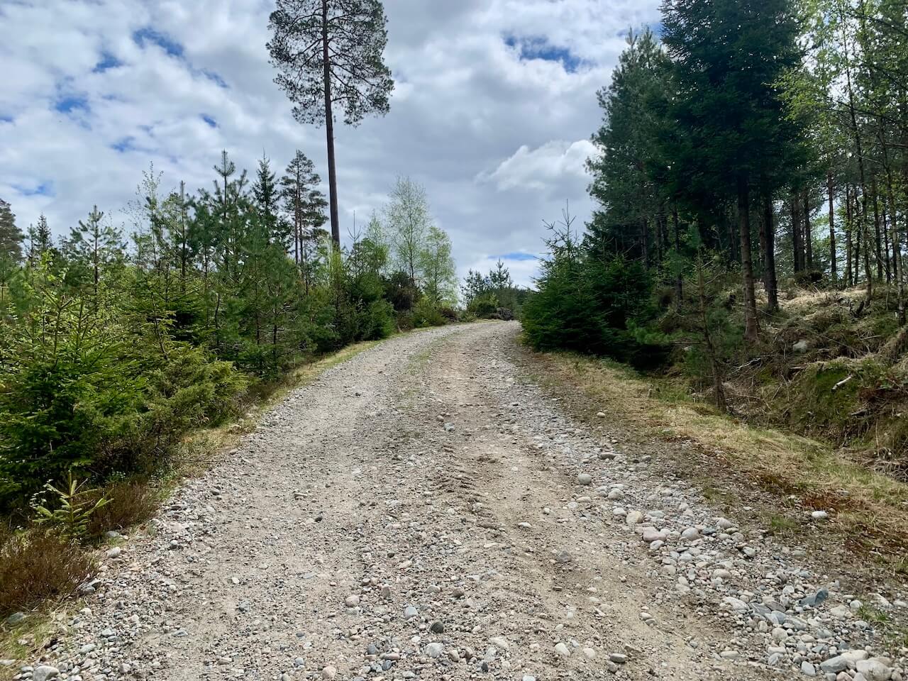
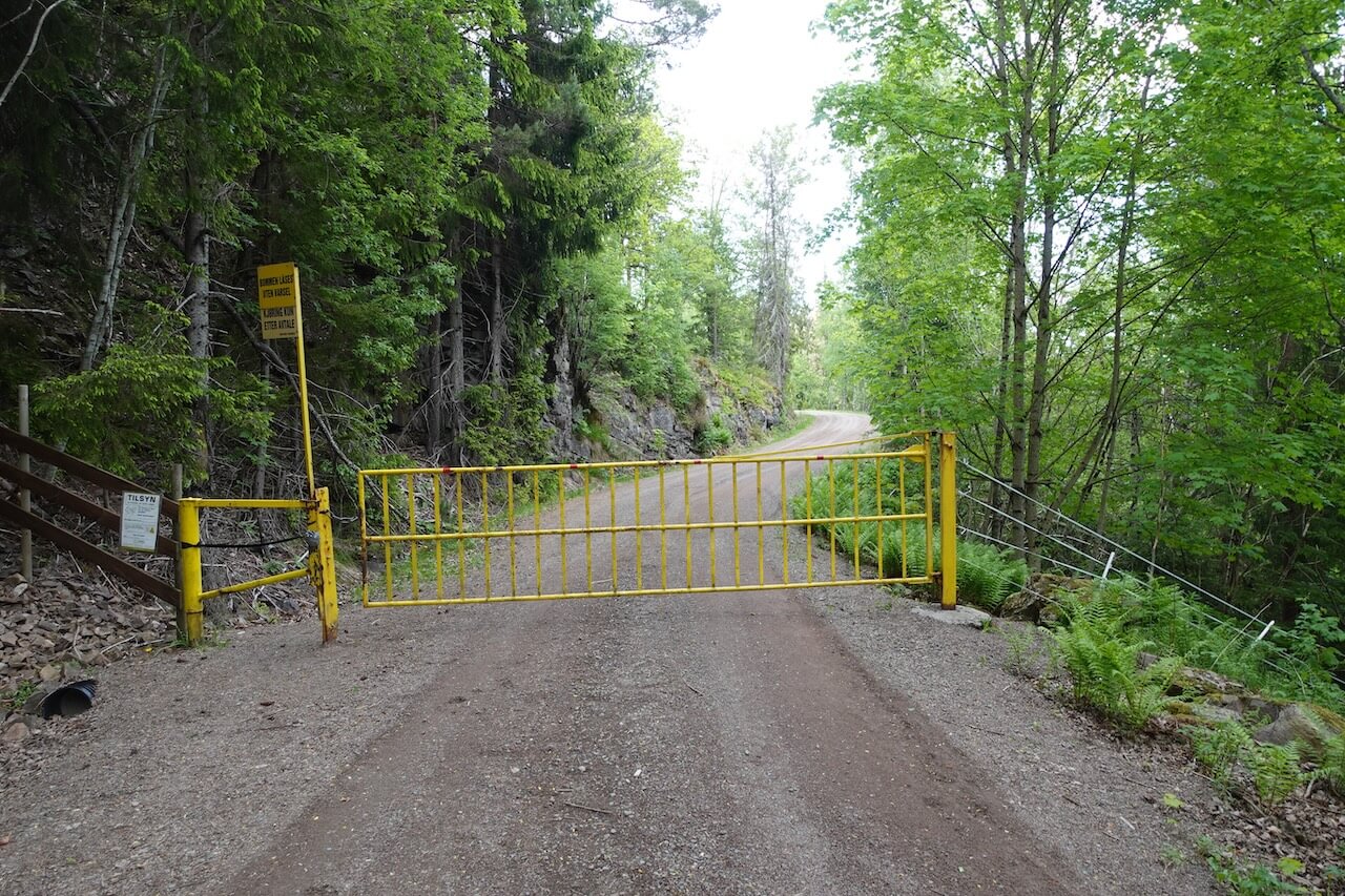
The route is very hilly in places and lacks the big views that normally reward the climbing. The section between Hokksund and Porsgrunn is particularly demanding, with long stretches of repetitive hilly forest scenery. Unless completing the full route matters to you, taking the train to Porsgrunn and skipping this section is worth considering. From Porsgrunn onwards, the route becomes more varied and interesting.
Bike rental
There are no bike shops or rental options directly on or close to the route. In practice, riders should rent in Oslo or Stavanger, where there are established shops with proper gravel bikes, pannier/bikepacking compatibility, and experience dealing with multi-day trips. Direct train connections to the route, make it straightforward to collect a bike in either city, ride the route, and return it at the end.

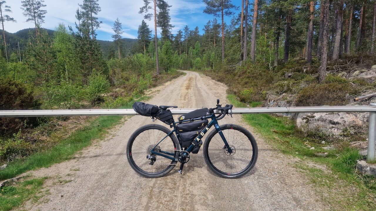
You have to enjoy solitude, the smell of pine and a failing mobile signal. This isn’t polished gravel tourism — it’s real forest riding, deep in the forgotten woods of southern Norway.
Local recommendations
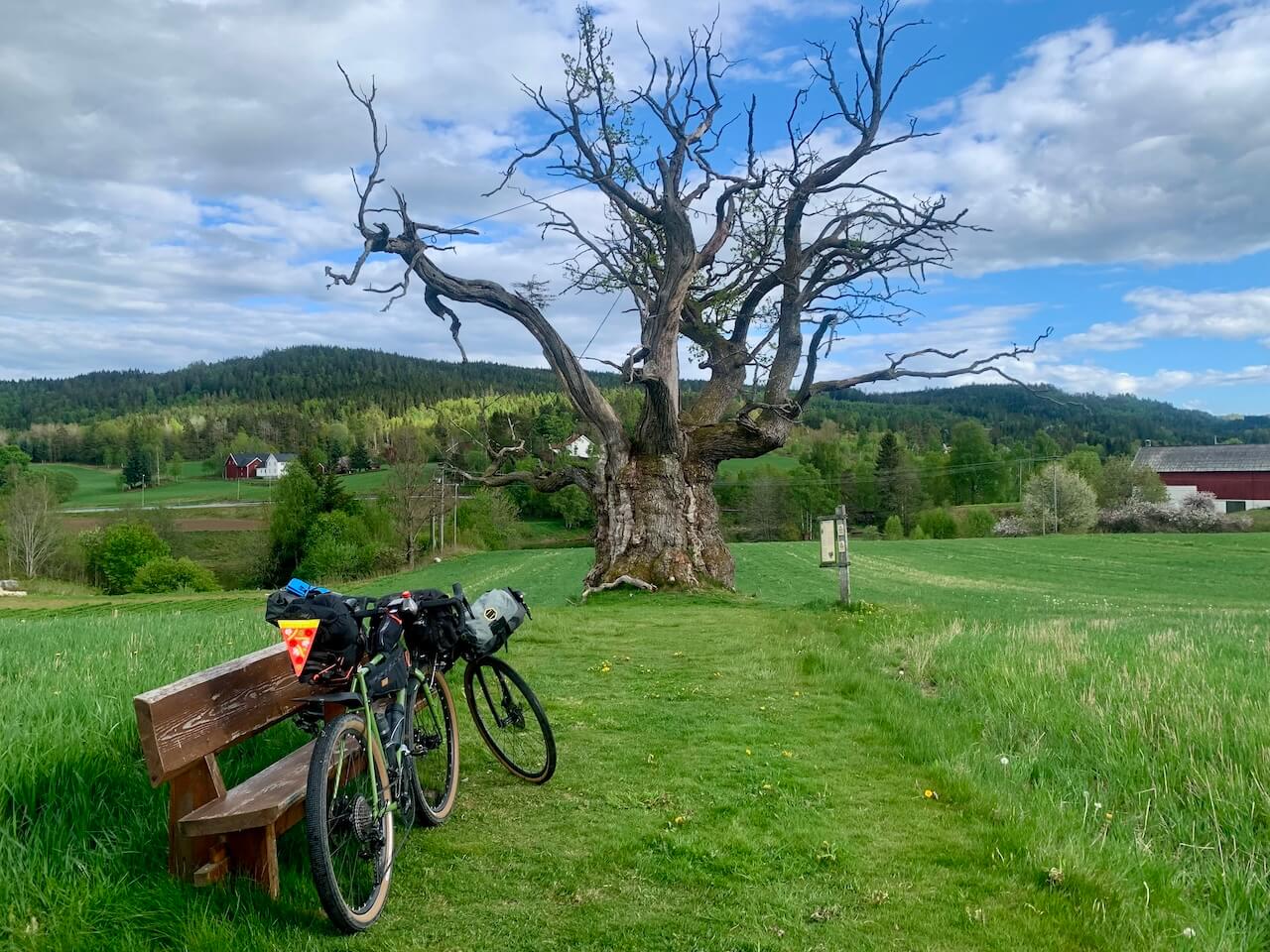
Mollestad Oak Tree
Very close to the route you will find Mollestad Oak which is estimated to be around 1,000 years old, making it one of Norway’s oldest living trees. It predates modern Norway itself and stands as a rare remnant of the ancient broadleaf forests that once covered much of southern Norway. Protected today, the tree is valued less as a tourist sight and more as a living witness to centuries of human activity—farming, forestry, and settlement—quietly enduring while the landscape around it changed.
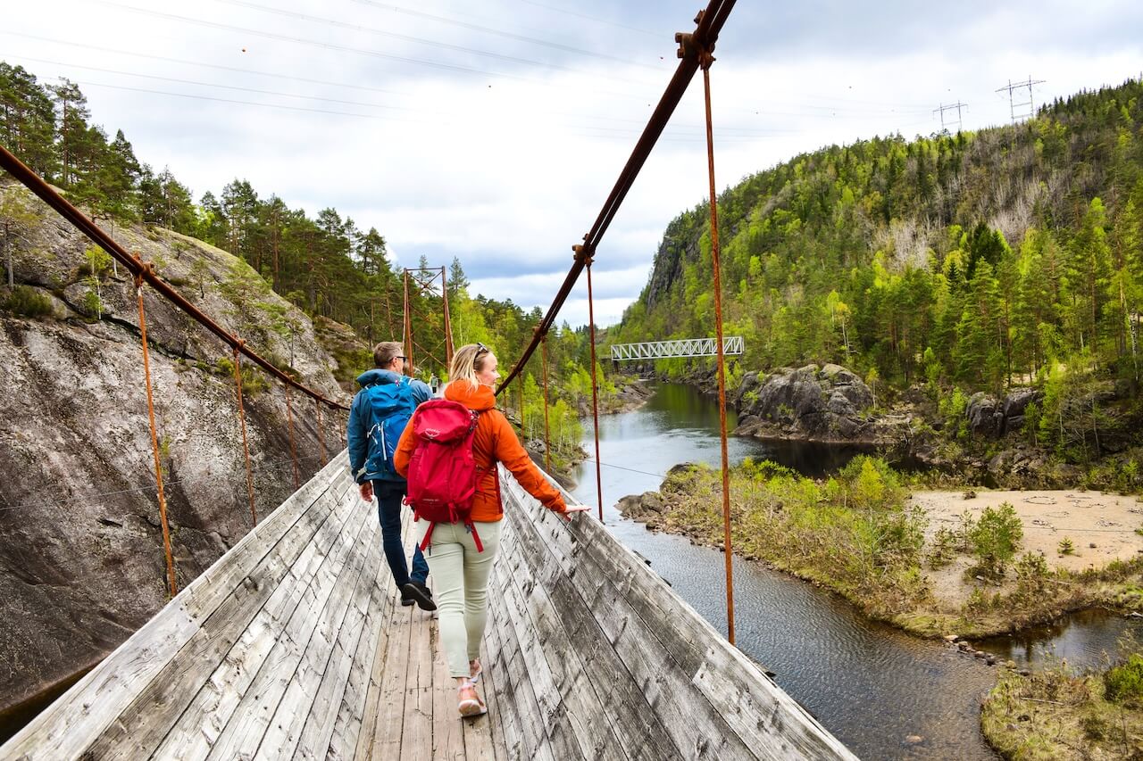
Tømmerrenna
Tømmerrenna is a historic timber flume built to move logs through terrain that was otherwise difficult to access and once played an important role in Norway’s forestry industry. Today it survives as a walking path and, when quiet, confident riders can carefully cycle short sections as a detour (close to the main route). It’s a reminder that these forests were once places of hard work long before they became places for recreation.
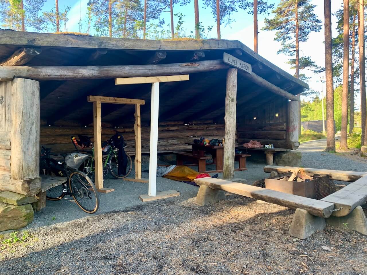
Birkeland Free Shelter
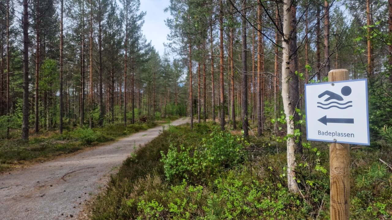
On the outskirts of the town of Birkeland is a free wooden shelter set in a small forest environment with a gravel road running through it. Fresh water can be collected from the nearby river. Swimming or bathing is also possible here in good weather. The shelter itself is a basic lean-to with a roof and benches, offering protection from wind and rain but no services. It’s well suited to self-supported riders looking for a quiet overnight stop in a peaceful, remote setting.
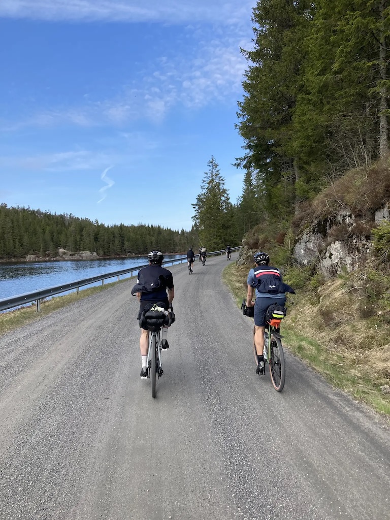
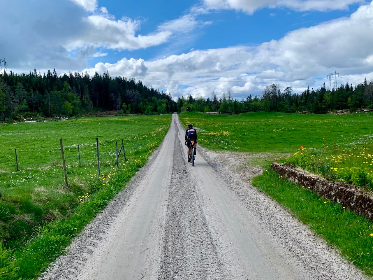
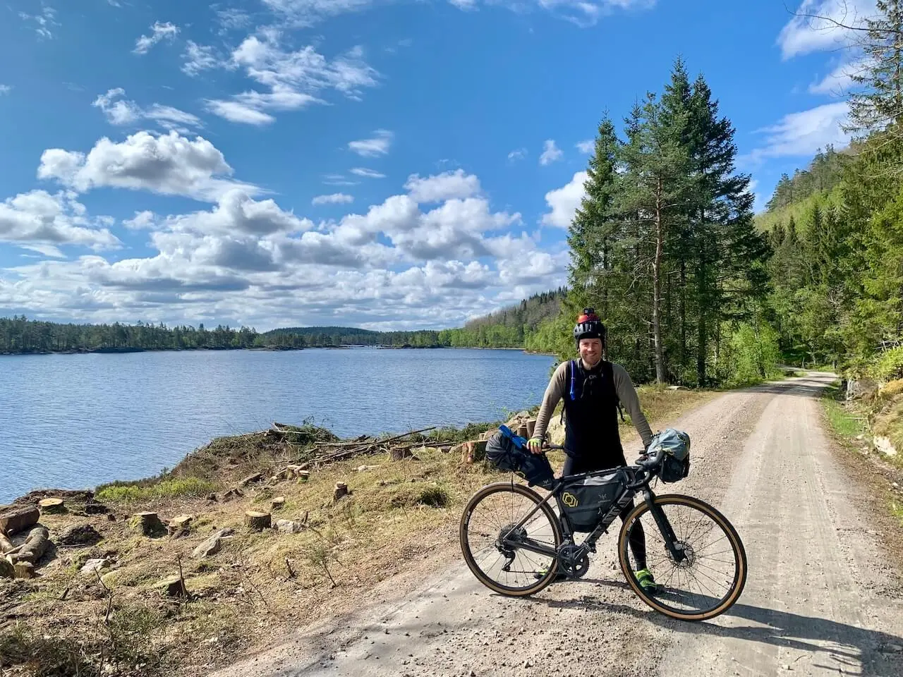
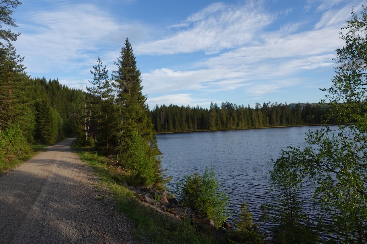
Vestmarka and Finnemarka Forests
Leaving Oslo, the route quickly enters the forests of Vestmarka and Finnemarka, following gravel roads and forest tracks through landscapes that feel remarkably quiet and remote considering they sit on the doorstep of the capital. This is what makes these forests special: within a short time, traffic, suburbs, and city life disappear, replaced by lakes, dense forest, cabins, and long stretches of gravel.
Useful links
Booking.com – for accommodation options across Norway
Entur app – for planning public transport trips around Norway
Ferries – routes, timetables and information by Statens Vegvesen
Wild camping etiquette – important to know
Further Reading
Keep in mind
All cycling routes published on CYCLENORWAY.com are intended as planning resources and sources of inspiration to be used alongside your own research and judgement. Routes are created using careful research, but every cyclist has different abilities, expectations, and risk tolerance. Some challenging gravel routes may include hike-a-bike sections, muddy or wet hiking paths, technical terrain, steep climbs, descents, or remote areas that may not be suitable for everyone. Route mapping software, and conditions can also change or contain inaccuracies. Cycling in Norway is generally very safe. Nevertheless, if you choose to ride these routes, you do so at your own risk. If you are unsure about a certain route leave a comment below and we’ll advise you.

Leave a Reply