


Cyclists are coming to Norway in growing numbers. Not for races, not for Instagram trophies, but for long journeys through landscape, quiet roads, long days, and a sense of moving through a country rather than visiting a place.
Across the EU, cycle tourism is estimated to be growing by around 9% annually. In Norway, the growth may be higher, but the truth is, we don’t actually know. There is no reliable national data. And that lack of data has consequences.
Because when something grows without being measured, it is rarely planned for. And when it isn’t planned for, it becomes a problem, rather than an opportunity.
The Problem Norway Has Lived With Since 1996
Norway introduced its National Cycle Routes in 1996/97. At the time, it was a genuinely impressive achievement. There was no Google Maps, no GPX files, no ride data, no digital mapping infrastructure. A small group of people, with limited tools, pulled together a national network almost from scratch. Some of those routes remain excellent, such as the Atlantic Coast to Nordkapp, which is still one of the great cycling journeys in Europe.
But there has always been a flaw, and it’s one that has never been properly addressed.
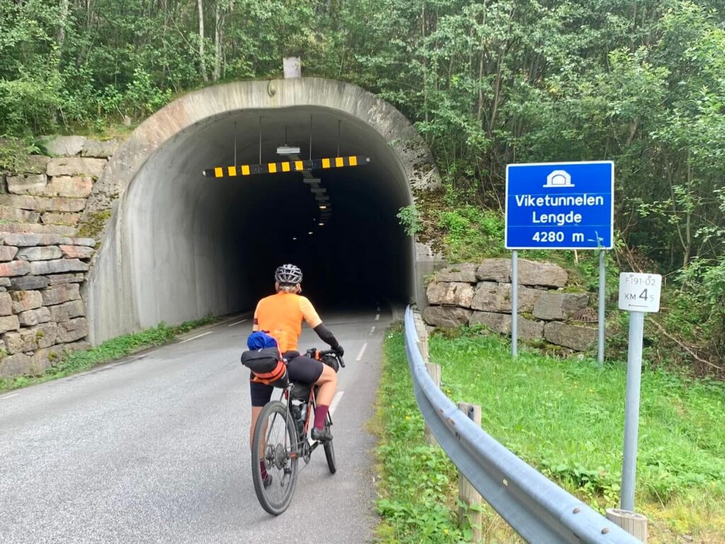
Too often, cyclists are pushed onto busy main roads because there is “no other option.” Roads never designed for cycling. Roads with heavy freight traffic. Roads where stress replaces experience.
More than 25 years later, cyclists are still being thrown onto those same roads.
Road 7 between Haugastøl and Geilo is a perfect example. Twenty-two kilometres with no alternative. Trucks, speed, tension, both for riders and for drivers. This is not good tourism. It creates frustration on all sides, and it damages Norway’s reputation as a place for safe, thoughtful travel.
The frustrating part is that the solution is often simple. A parallel gravel path along that stretch would remove the conflict entirely. One modest investment would solve a long-standing problem and bring economic opportunities through slow travel tourism.
But cycle tourism in Norway has rarely been treated as infrastructure. It has been treated as an afterthought.
What I’ve Been Doing for the Last Five Years
There is no magic wand for this. But there is another approach.
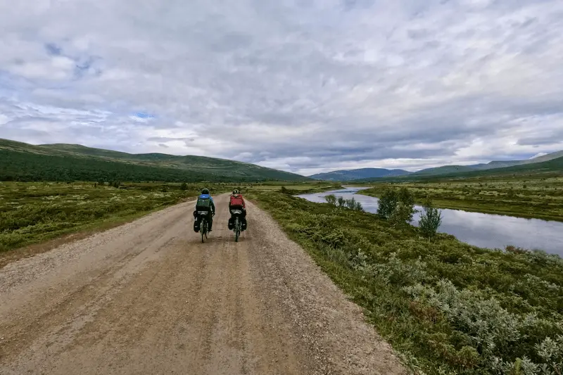
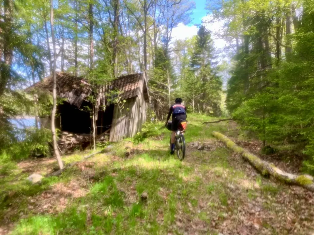
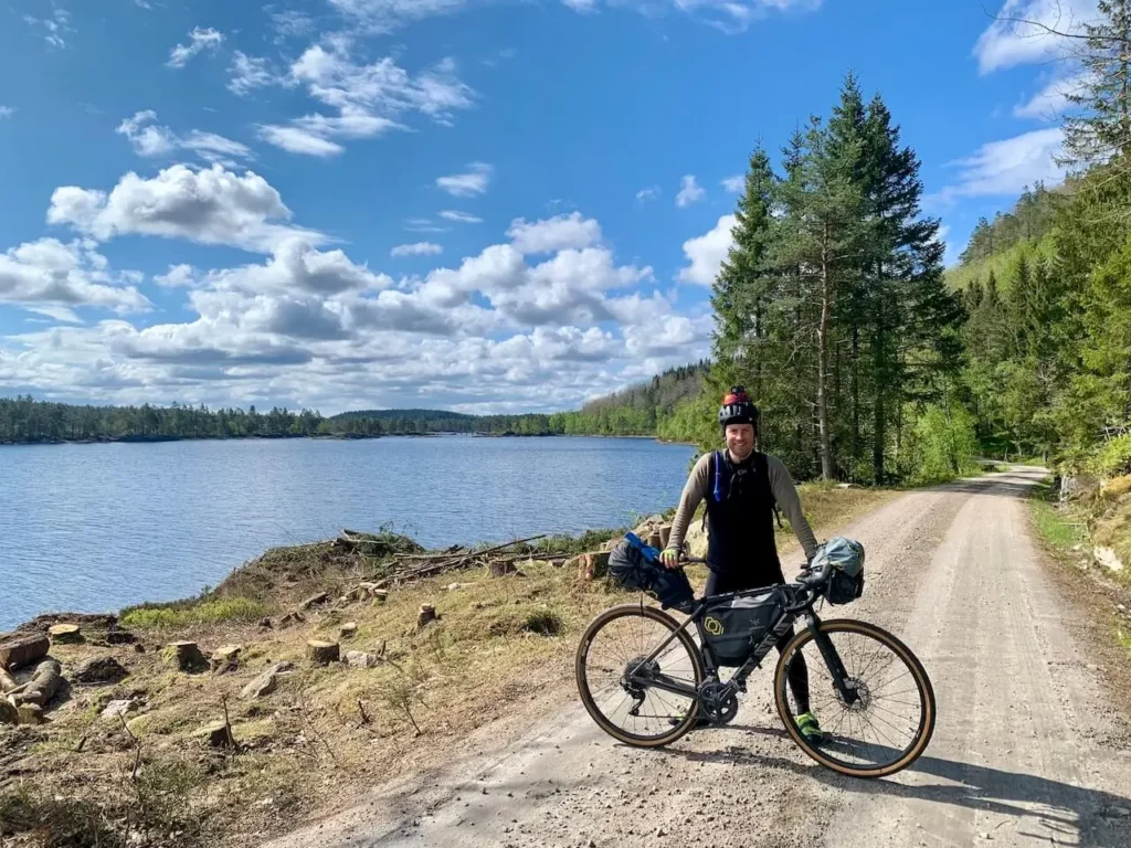
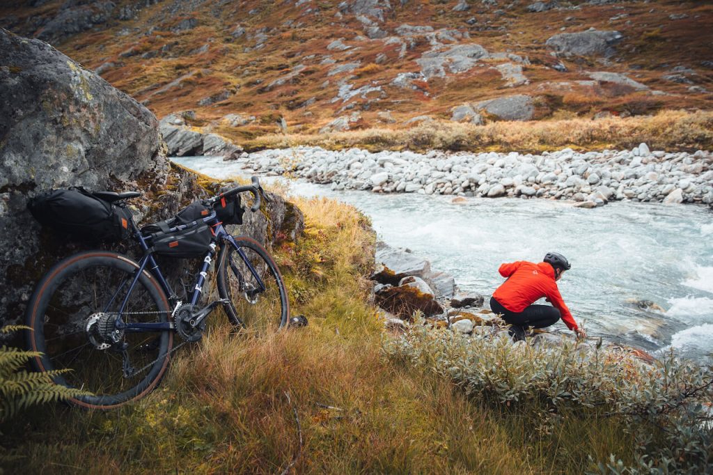
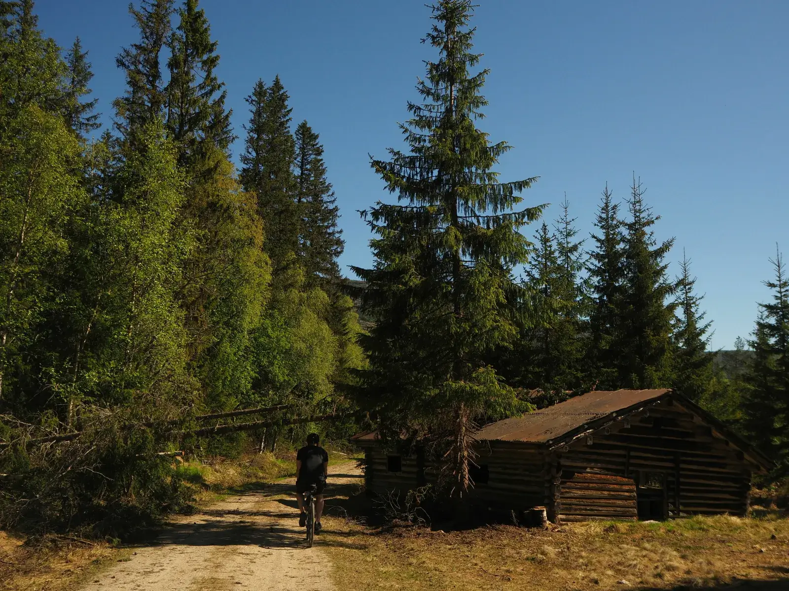
For the last five years, I’ve been riding, mapping, testing, revisiting, and refining gravel roads across Norway. Roads that already exist. Roads built for forestry, local industry, cabin access, and rural life. Roads that are part of the working landscape, not fragile wilderness.
Many of these roads now see very little traffic. The industries they once served have changed or faded. What remains is an extraordinary, underused network, quiet, durable, and perfectly suited to long-distance cycling.
The goal has been simple:
to create a connected national network of long-distance gravel cycling routes that stays away from traffic, tunnels, and danger.
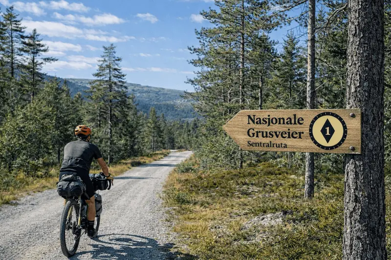
This spring, that work is being formally launched as National Gravel Routes.
Not New Infrastructure. Not Off-Road Riding.
This point matters, so it needs to be stated clearly.
National Gravel Routes does not involve:
- building new roads
- riding on sensitive trails
- cutting across untouched land
- encouraging off-road or illegal access
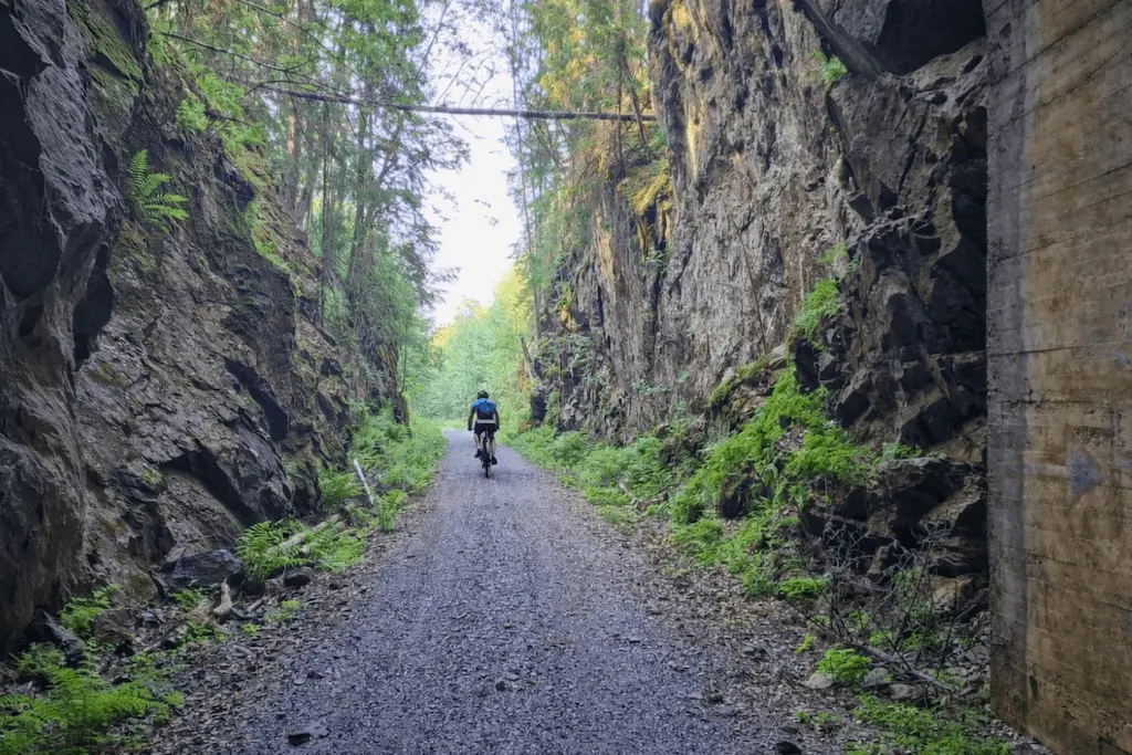
Every route uses existing public gravel roads. Roads already maintained. Roads already permitted. Roads already embedded in Norwegian land use.
This is not adventure tourism at the expense of nature. It is careful use of what already exists.
A Connected National Network
There are eight long-distance routes in total. All of them connect.
Riders can cycle a full route end to end, or combine sections to create their own journey. This flexibility is deliberate. It allows people to travel at different speeds, over different timeframes, without forcing everyone into the same corridor.
And this is where Cycle Norway’s role becomes critical.
Stewardship, Not Just Publishing
Cycle Norway is not just publishing GPX files and walking away.
We act as the steward of the network.
That means:
- routes are actively managed, not static lines on a map
- issues can be raised directly, with public contact details
- changes in land use, infrastructure, or environmental pressure are reflected over time
This is something large state institutions struggle to do structurally. It requires continuity, accountability, and local knowledge over years, not project cycles.
The GPX files will be freely available on localhost:4431/. Riders will need to create a free account and agree to a clear code of conduct covering landowners, wildlife, seasonal conditions, and respectful behaviour.
This is not about control. It’s about responsibility.
Route Criteria
All routes, and any future development, must meet strict criteria:
• Minimum 50% gravel or unpaved surfaces with public access
• Each route at least 350 km in total length
• Routes connect so riders can mix and match
• Designed to avoid busy roads, prioritising quiet gravel and low-traffic connections
• Varied scenery and terrain: forests, valleys, uplands, and mountains
• Rideable by most recreational cyclists with some experience, with varying difficulty
• Public transport access at both start and finish
• Accommodation and food options available along the route
• Rooted in landscape, history, and culture
• Field-tested and regularly reviewed by Cycle Norway
The Logo: Why It Matters
The National Gravel Routes logo was designed with longevity in mind.
At its centre is a compass form, simple, functional, and timeless. It represents orientation rather than destination. This matters. These routes are not about funneling people to a single viewpoint or photo. They are about navigation through landscape, day after day.
The outer ring subtly references a gravel tyre, grounding the symbol in gravel cycling without resorting to clichés. There are no mountains, no riders, no trendy graphics. Those date quickly.
The colour palette is restrained and earthy, designed to sit quietly in the environment rather than dominate it. This is a mark meant to guide, not to shout.
Most importantly, the logo works just as well on a wooden sign in a remote valley as it does on a digital map. That is the test of a lasting system.
Stories, Names, and Cultural Weight
All routes carry traditional Norwegian names, with English translations where appropriate. Each route tells a story, of geography, history, and how people have moved through this country long before tourism was a concept.
The routes have been shaped with input from Norwegians deeply experienced in bikepacking, slow travel, and respect for place. My role has been to act as the glue, bringing this knowledge together into something usable, legible, and consistent.
Any future expansion must meet strict criteria. These routes are curated, not crowdsourced.
The Opposite of Instagram Tourism
The damage caused by mass, image-driven tourism in Norway is real. When thousands chase the same photo, pressure builds quickly in fragile places.
National Gravel Routes are designed to do the opposite.
There is no single destination. No funnel. No shortcut. Riders must put in the effort each day, and the reward is internal rather than performative. Less shareable. More meaningful.
Economically, the routes support accommodation, food, services, and attractions across many regions slowly and evenly. Socially, riders stay longer, spend more time locally, and interact respectfully.
This is not mass tourism.
It is precision tourism.
And it’s long overdue.
Who these routes are for
The National Gravel Routes are designed for both Norwegian riders and international visitors, but they are not aimed at absolute beginners. In general, they are more demanding than the National Cycle Routes. Rather than following flat valley floors or busy main roads, they take riders through hillier, more rural terrain where traffic is low.
Some routes are straightforward and follow excellent gravel roads almost end to end. Others include short hike-a-bike sections, and heavy touring bikes are not recommended on those routes. Riders should be moderately fit, comfortable with self-navigation, and have basic outdoor skills. For riders coming to Norway for the first time, especially for long-distance cycling, EuroVelo 1 remains the ideal starting point. It is largely paved, flatter in many places, well established, easy to navigate day by day, and has frequent services along the way.
The National Gravel Routes are best seen as the next step, something you do once you’ve gained experience riding long distances in Norway.
Leave a Reply