


161km
Distance
2530m
Elev. Gain
1-3
Days
35%
Unpaved
7/10
Difficulty
35-40mm
Ideal Types
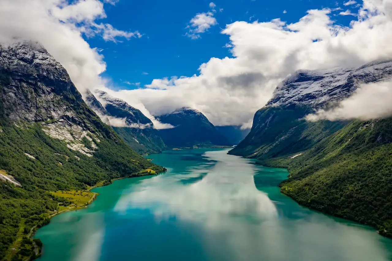
Aursjøvegen Loop
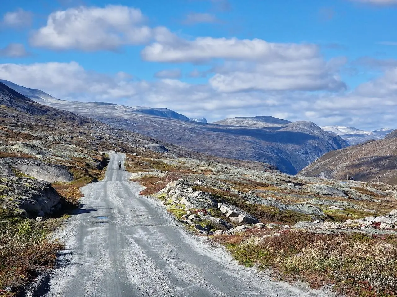
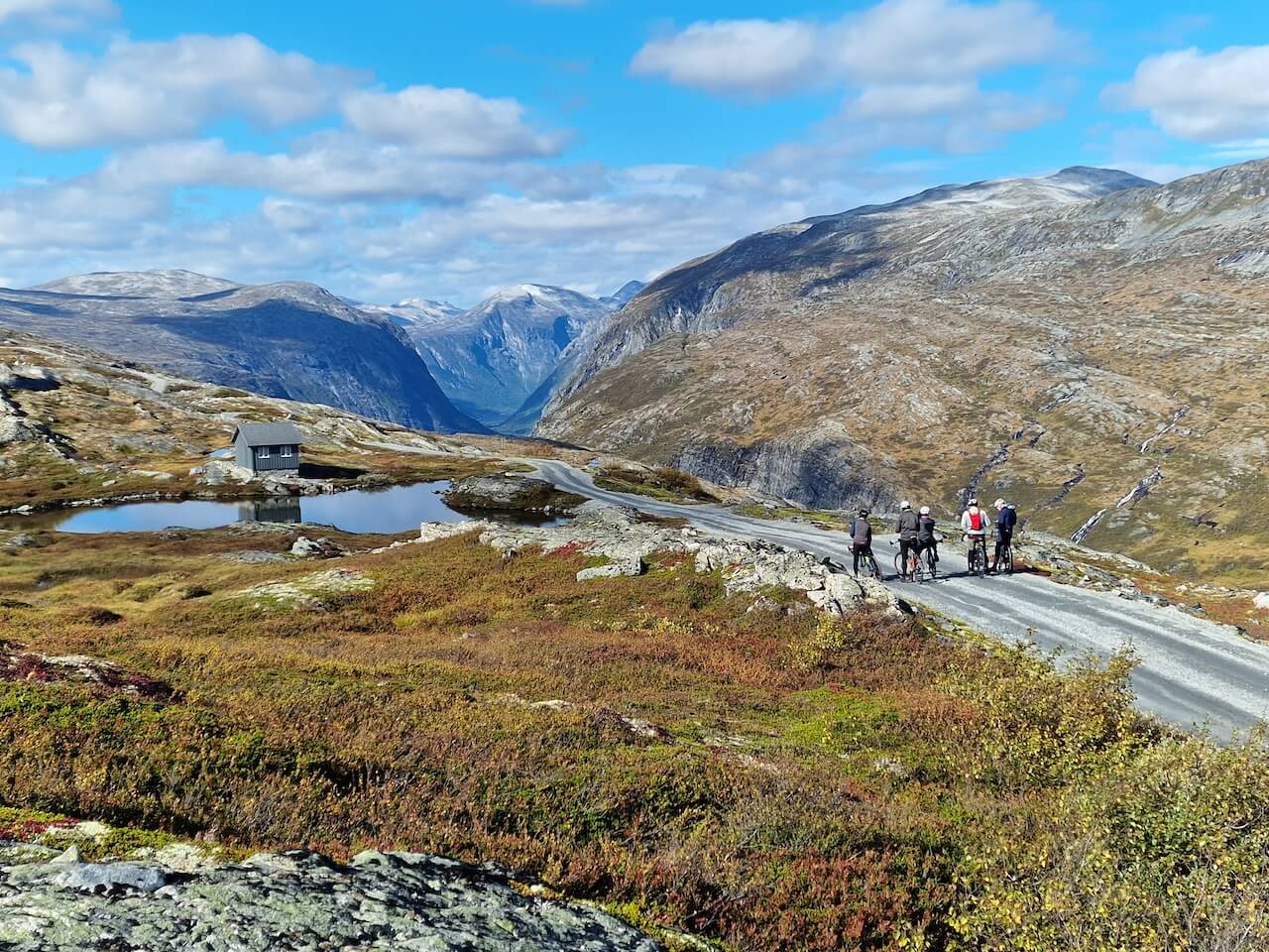
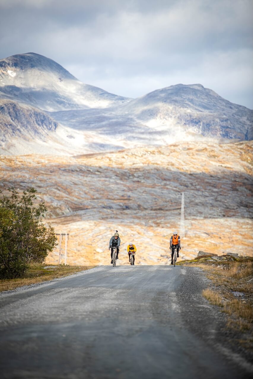
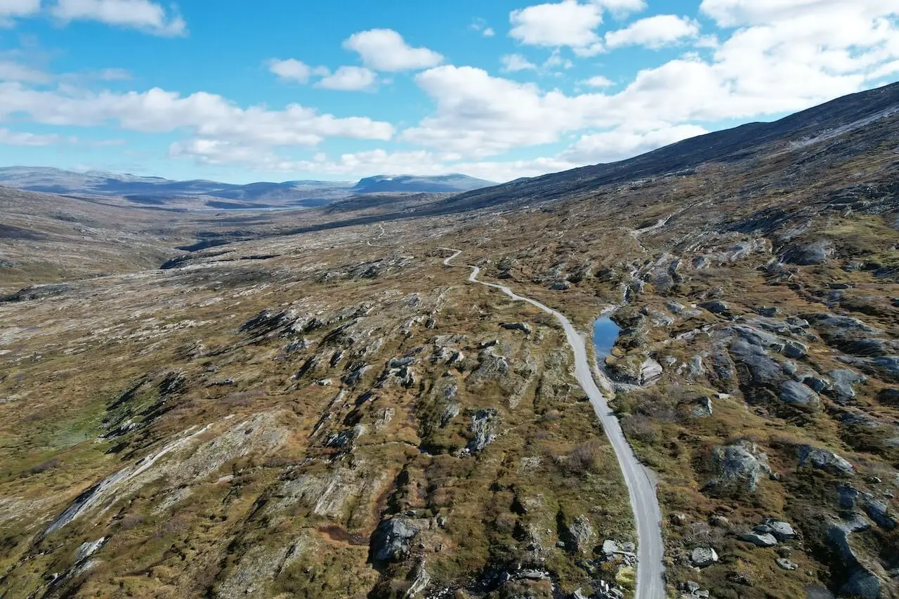
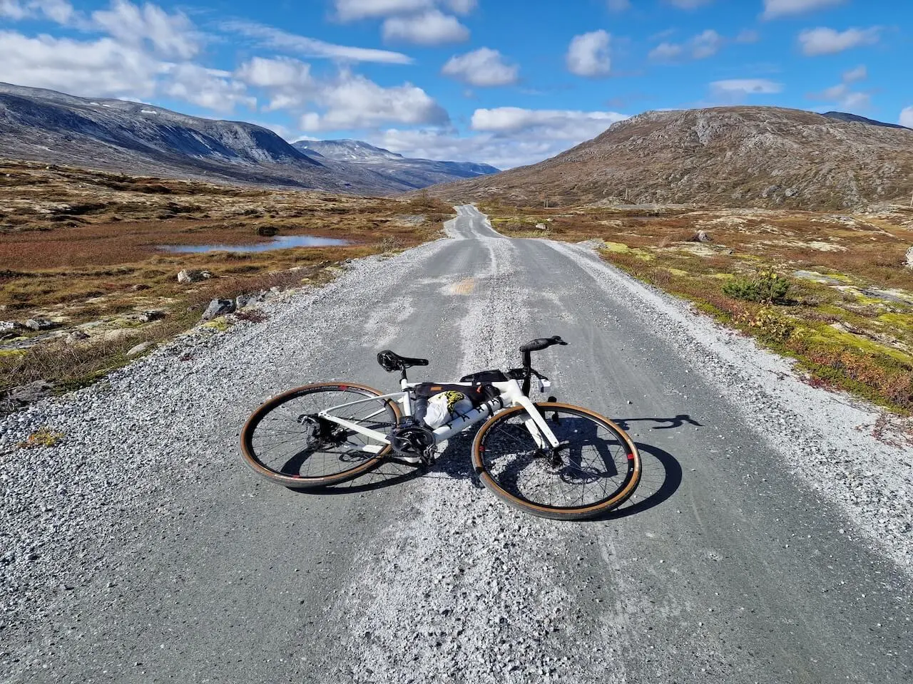
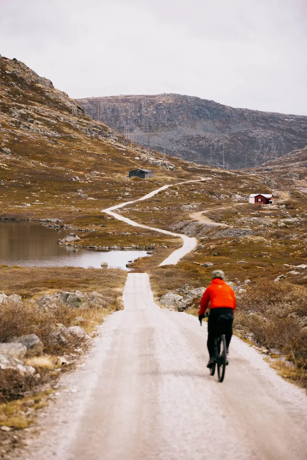
This traditional circuit guides you through two of Norway’s hidden treasures: Eikesdalen and Litldalen valleys, both boasting awe-inspiring landscapes featuring towering waterfalls and pristine lakes. Covering approximately 75 kilometres of gravel, what distinguishes Aursjøvegen is its rugged terrain and remote setting, making it far from your typical cycling route.
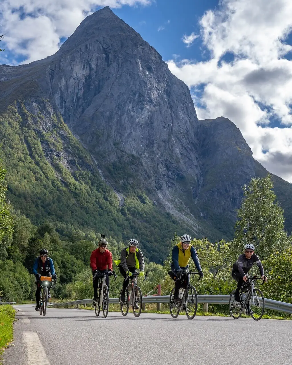
Commencing from Sunndalsøra, cyclists embark on a gradual ascent along a deep, narrow valley. As elevation increases, the scenery intensifies, showcasing majestic cliffs and cascading waterfalls adorning the route. Amidst this breathtaking backdrop, Aursjø Lake emerges, nestled within the mountainous terrain, offering a picturesque spot for a well-deserved rest break. Following the challenging yet rewarding gravel and valley segments, the journey concludes along a conventional road to complete the loop. This is a Norwegian treasure tucked away from most tourists.
Possible Access Changes from 2026
Norwegian environmental authorities are introducing new protection measures for the wild reindeer population in the Dovrefjell–Snøhetta region. As part of this plan, sections of Aursjøvegen near Aursjøen (Krøsbekken–Aursjøhytta) may be closed to public cycling and motor traffic from 2026. The rest of the road is expected to remain open between 15 June and 30 October, but with stricter camping rules — wild camping and roadside overnight stays will likely be prohibited along the entire route. These changes are not yet final, but travellers should expect more controlled access and updated signage in 2026. Cycle Norway will update this page as soon as the official regulations are confirmed.
Route map
When?
Aursjøvegen road opens on the 15th of June each year and closes on the first snowfall in Autumn (this is usually in early October).
Getting there
Getting to the start at Sunndalsøra is not easy due to its remote location. From Oslo or Trondheim, you can take the train (Oslo–Trondheim line) to Oppdal or Åndalsnes (with a change in Dombås). From there, either cycle the Fjord Norway route or take a local bus, which allows bikes (subject to space availability).
Hazards
On unsettled days the mountain pass can be cold, wet, and windy, making proper preparation, gear, and clothing essential. In addition, there are several long tunnels on this route, and you should be prepared to ensure a safe journey through them. Good lights are essential, and a reflective vest is strongly recommended.
Bike rental
The local company Contrast offers guided tours of Aursjøvegen and the surrounding area. Their website does not specify if bikes can be rented, but it’s worth contacting them to inquire. Otherwise, the closest towns are Oppdal & Åndalsnes which offer bike rental.
Don’t cycle this route without checking out Aurabanen – the abondomed mountain railway road!
Local recommendations
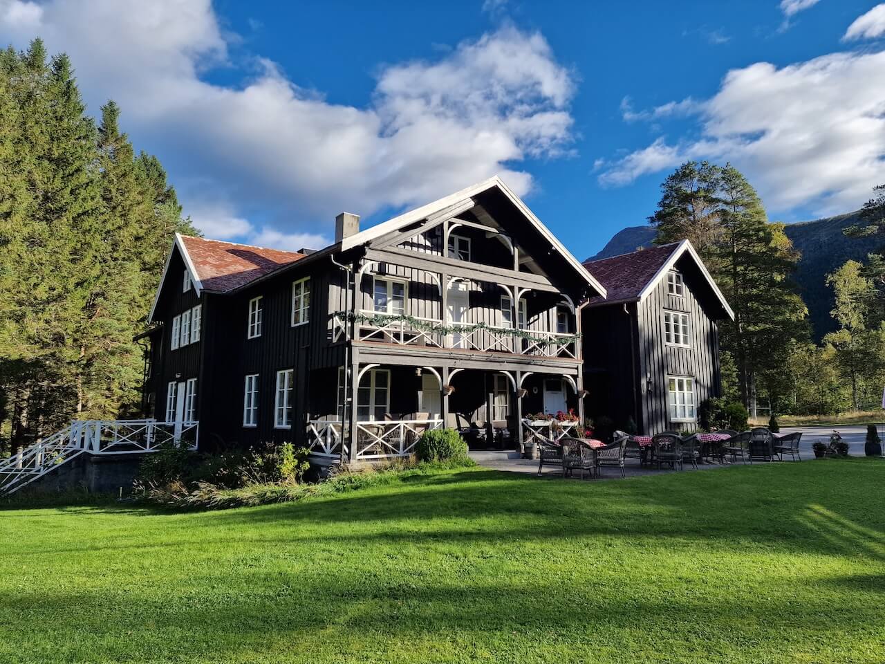
Phillipshaugen Lodge
A historic Norwegian retreat blending traditional charm with modern comfort. Surrounded by stunning nature, it’s an ideal base for cycling, hiking, and skiing, offering a cozy atmosphere, local cuisine, and authentic Norwegian experiences. For more information, visit their official website.
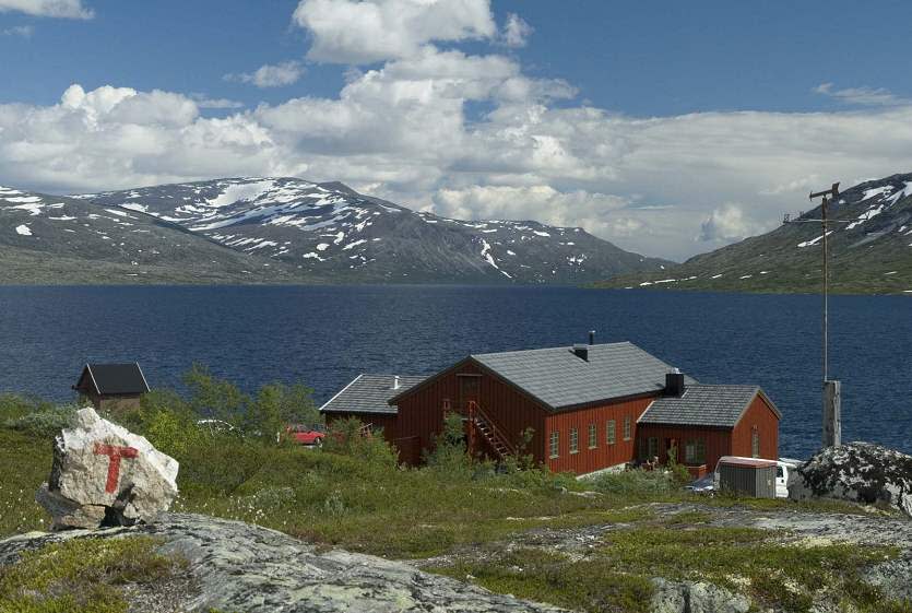
DNT Aursjøhytta
A DNT mountain lodge perfectly positioned for cyclists tackling the scenic Aursjøvegen route. At 866m altitude, it offers a warm retreat after a tough climb, with meals and services available June–September and self-service facilities year-round. Ideal for an overnight stay, it provides a great base for further exploration.
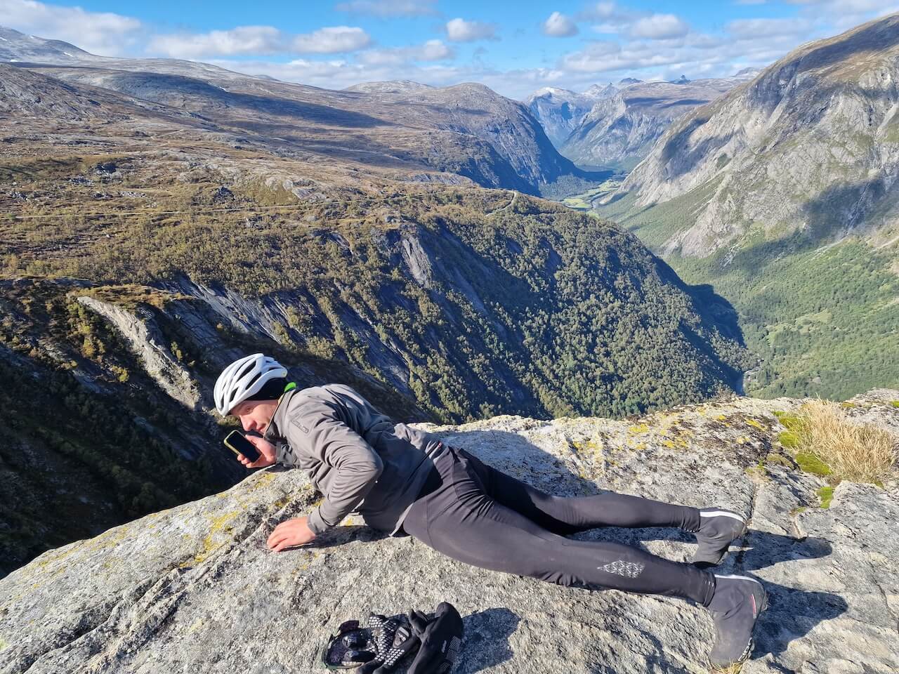
Aurstupet
Amazing viewpoint of Eikesdal valley, just 50m from the main gravel road. Warning if you’re afraid of heights take care!
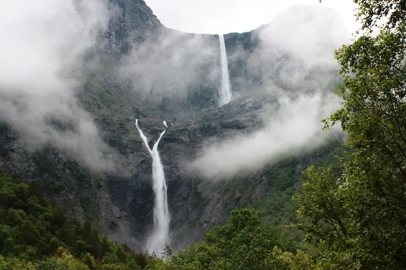
Mardalsfossen
Northern Europe’s highest freestanding waterfall. Only available in Summer (20.6 -20.8) – controlled by reservoir above.
Useful links
Booking.com – for accommodation options across Norway
Entur app – for planning public transport trips around Norway
Ferries – routes, timetables and information by Statens Vegvesen
Wild camping etiquette – important to know
Further Reading
Keep in mind
All cycling routes published on CYCLENORWAY.com are intended as planning resources and sources of inspiration to be used alongside your own research and judgement. Routes are created using careful research, but every cyclist has different abilities, expectations, and risk tolerance. Some challenging gravel routes may include hike-a-bike sections, muddy or wet hiking paths, technical terrain, steep climbs, descents, or remote areas that may not be suitable for everyone. Route mapping software, and conditions can also change or contain inaccuracies. Cycling in Norway is generally very safe. Nevertheless, if you choose to ride these routes, you do so at your own risk. If you are unsure about a certain route leave a comment below and we’ll advise you.


Leave a Reply