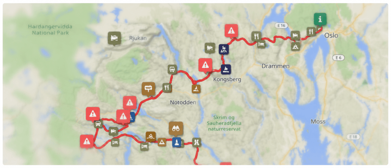
342km
Distance
7650m
Elev. Gain
2-6
Days
55%
Unpaved
8.5/10
Difficulty
35-45mm
Ideal Types
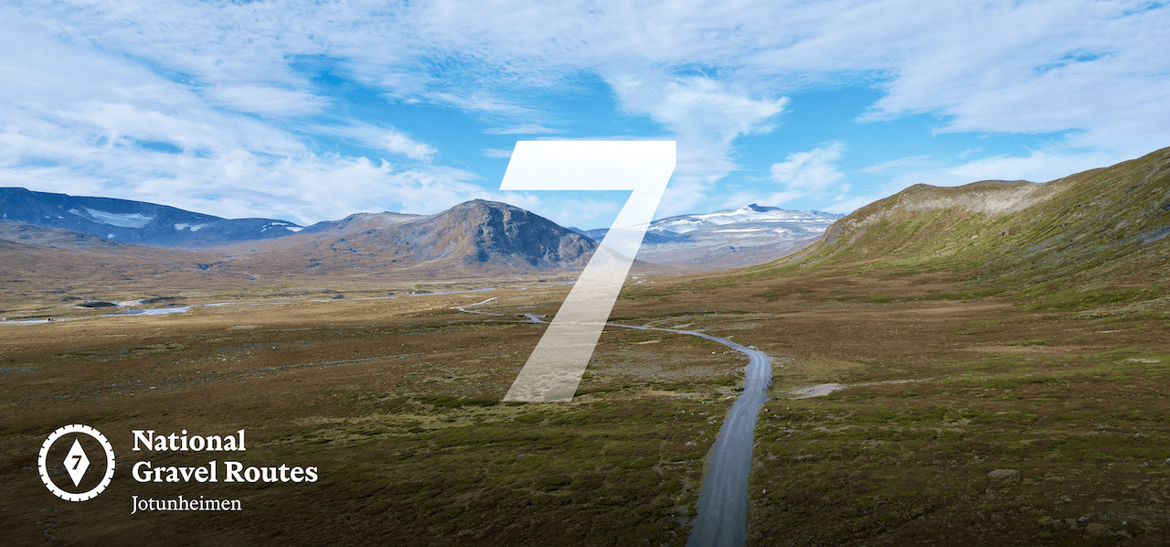
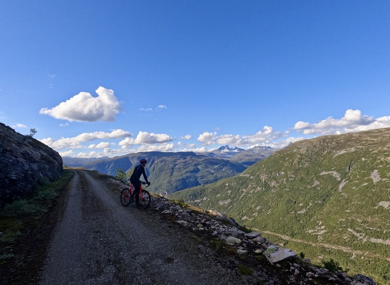
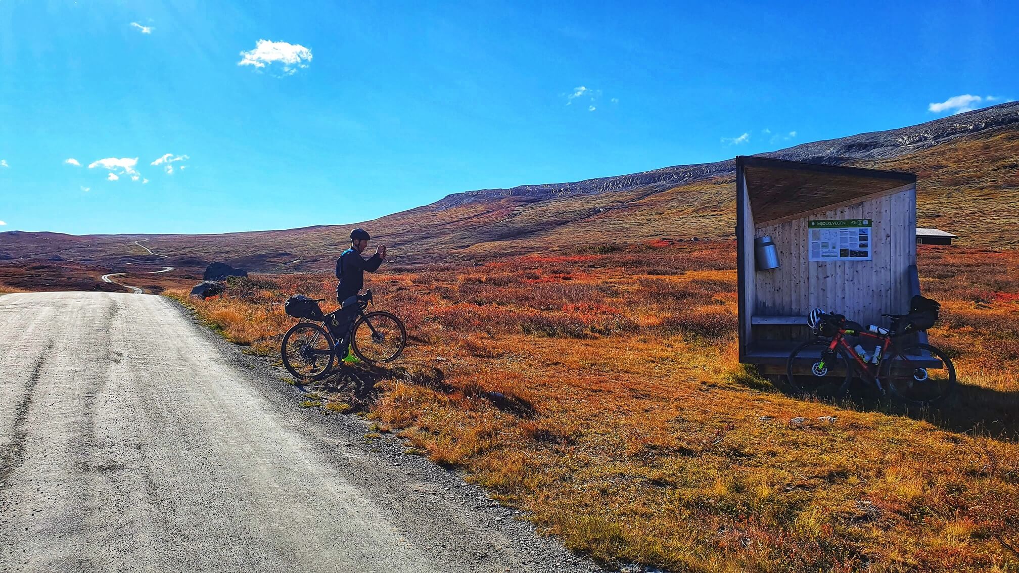
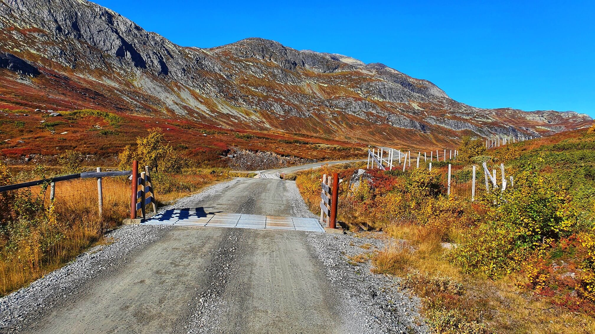
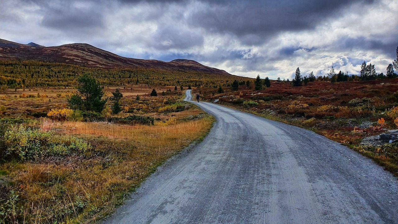
National Gravel Route 7: Jotunheimen
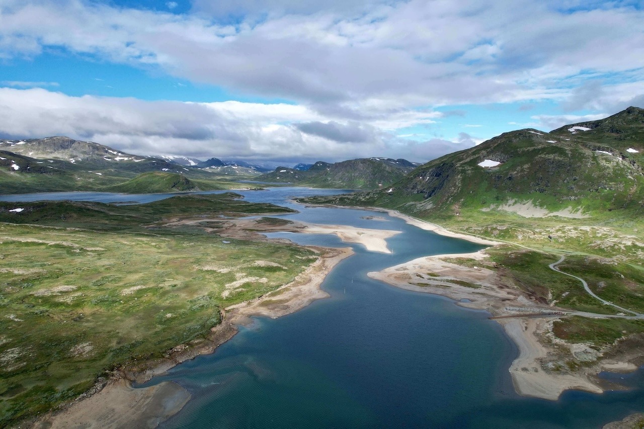
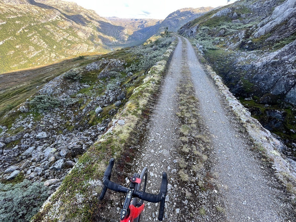
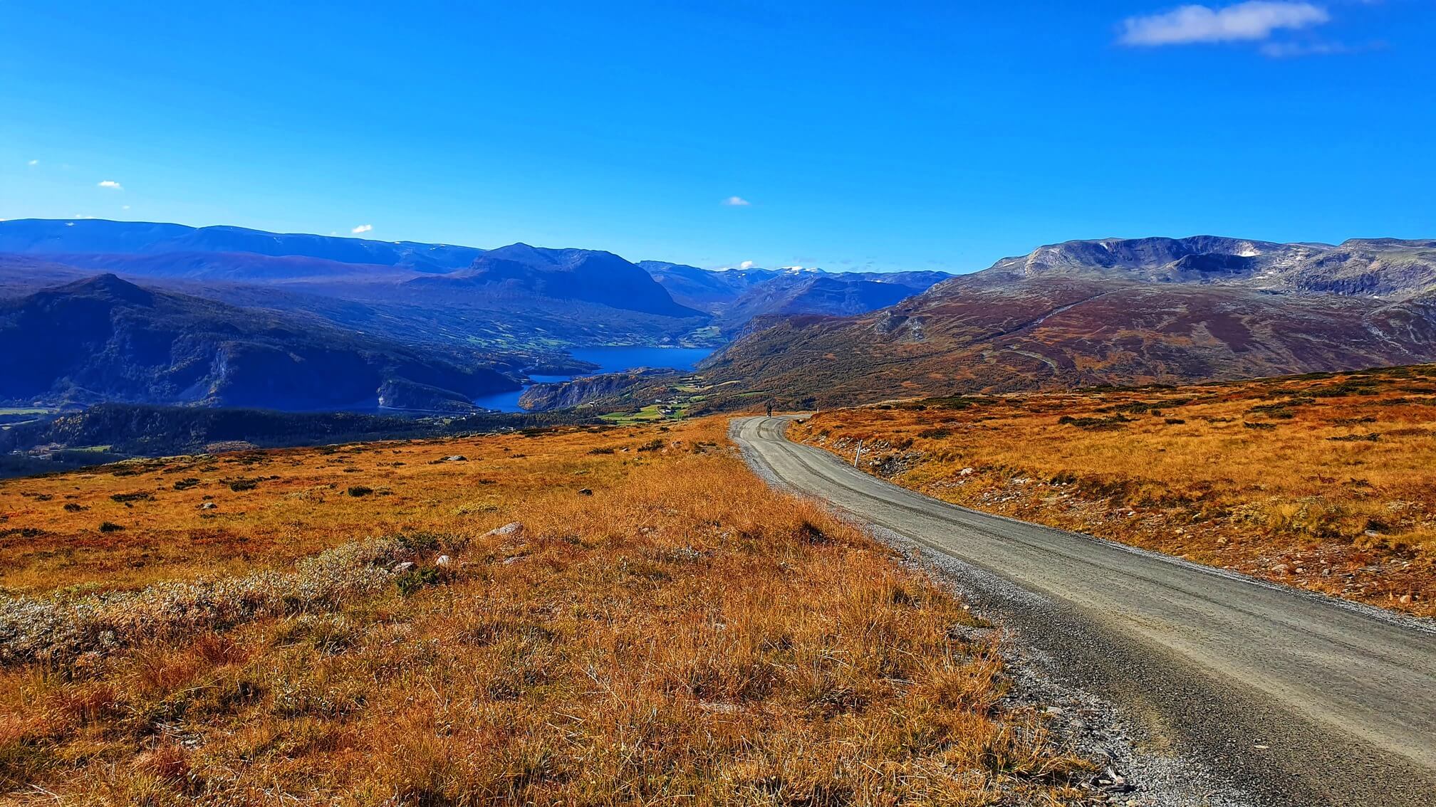
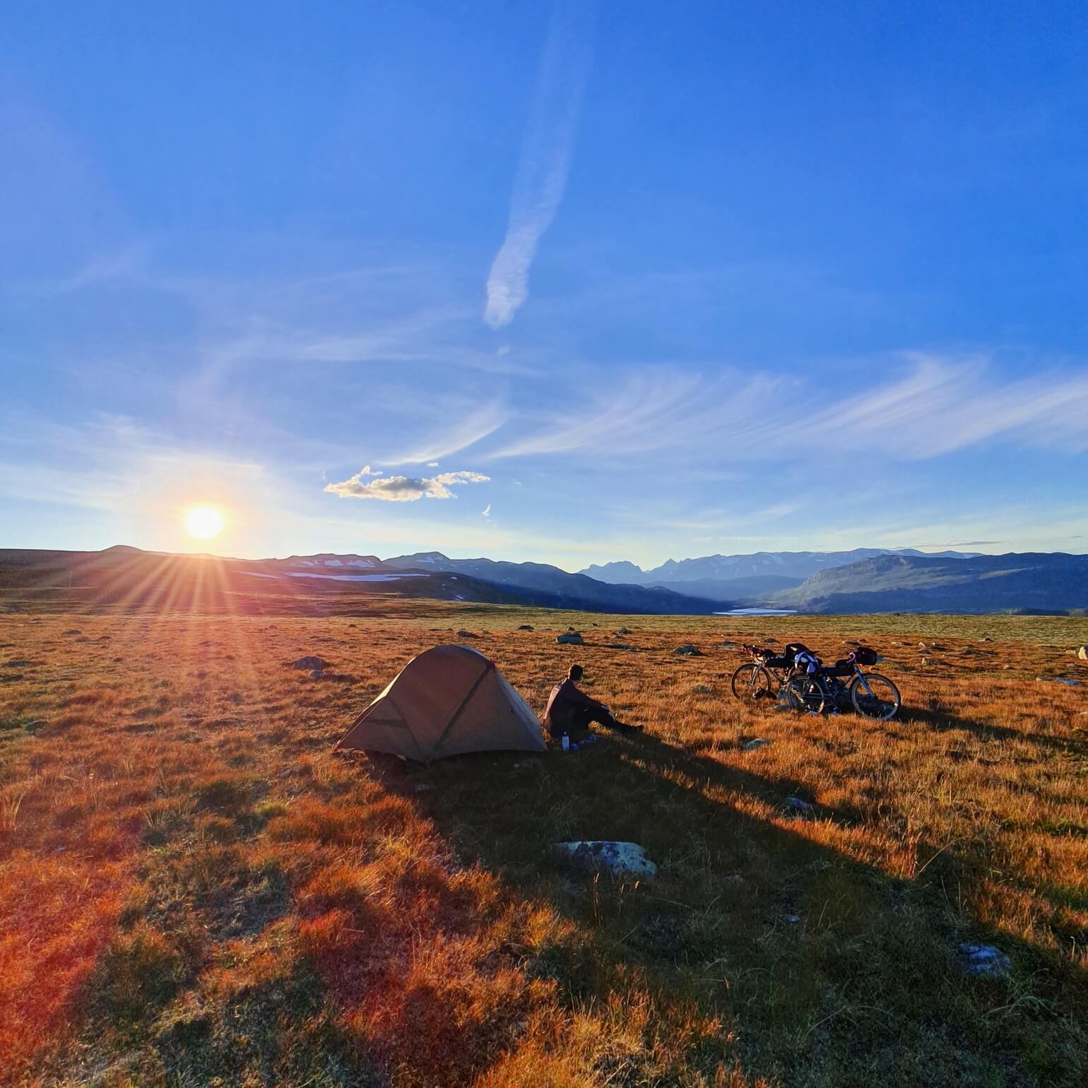
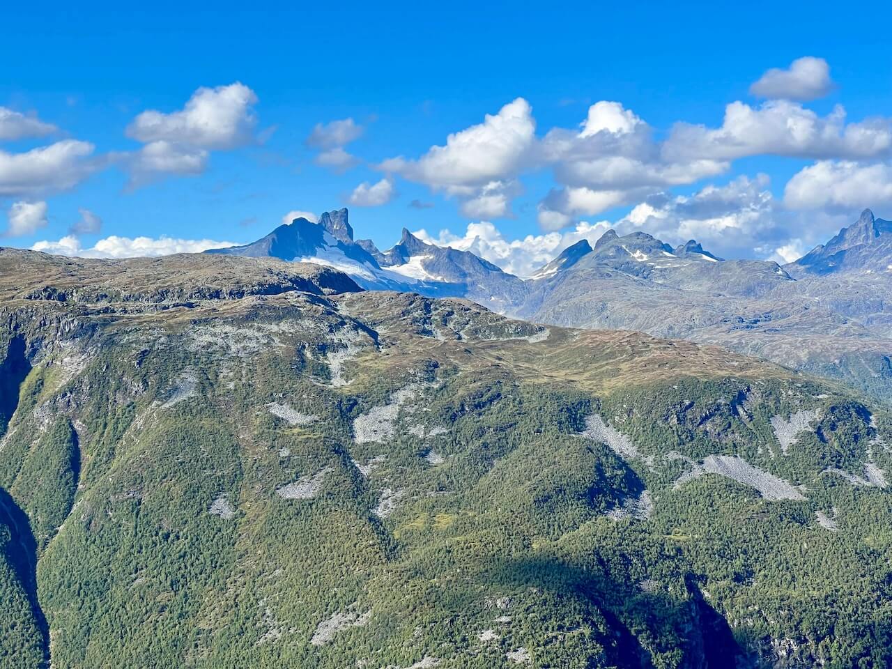
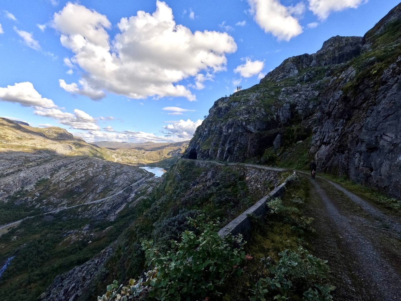
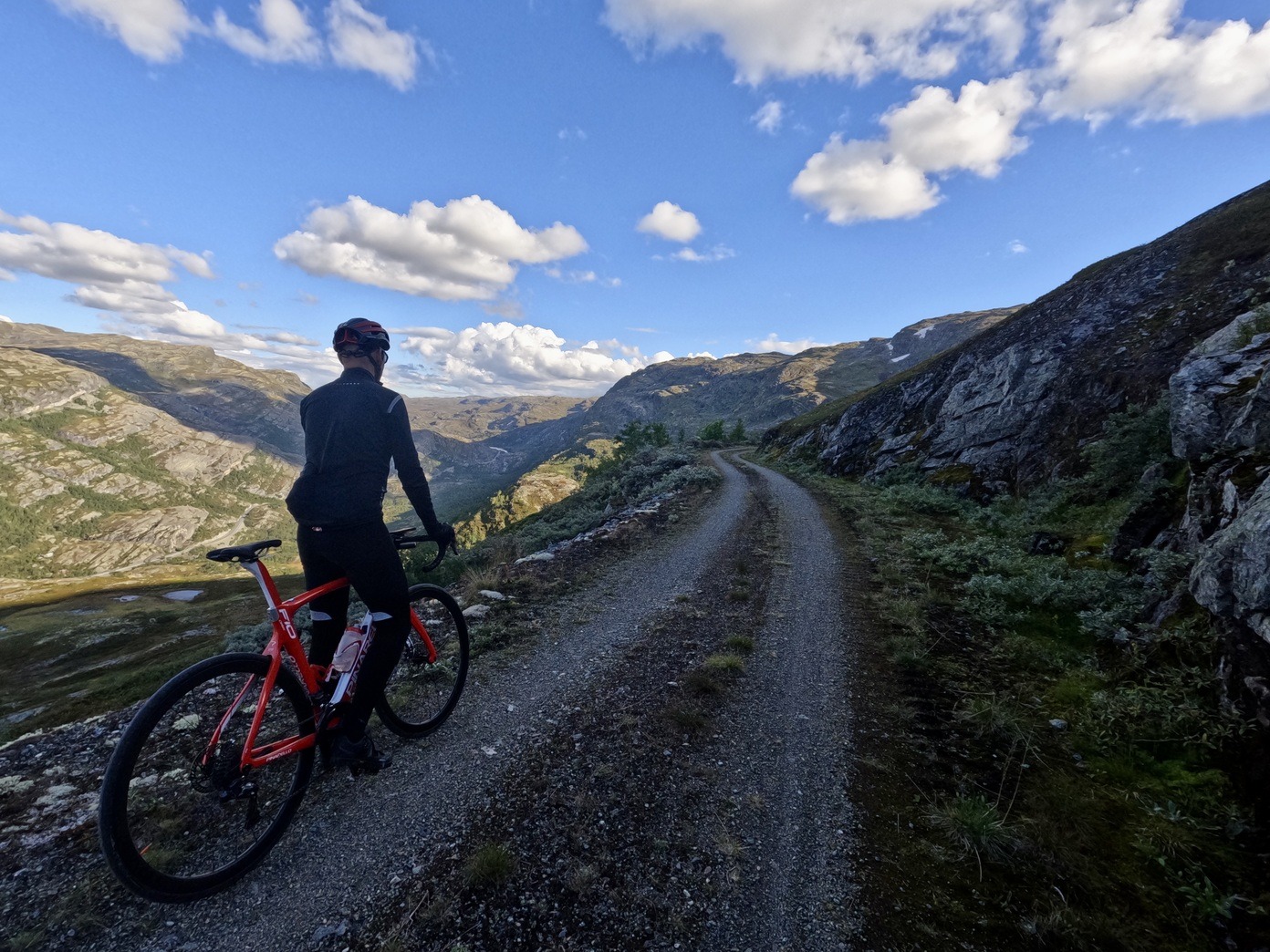
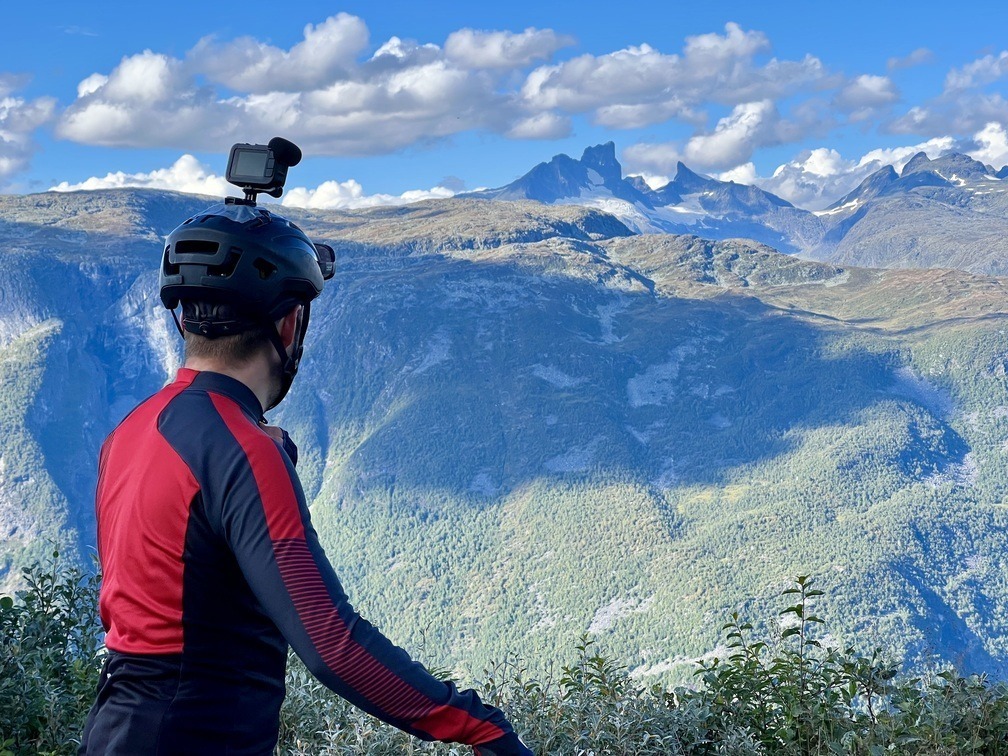
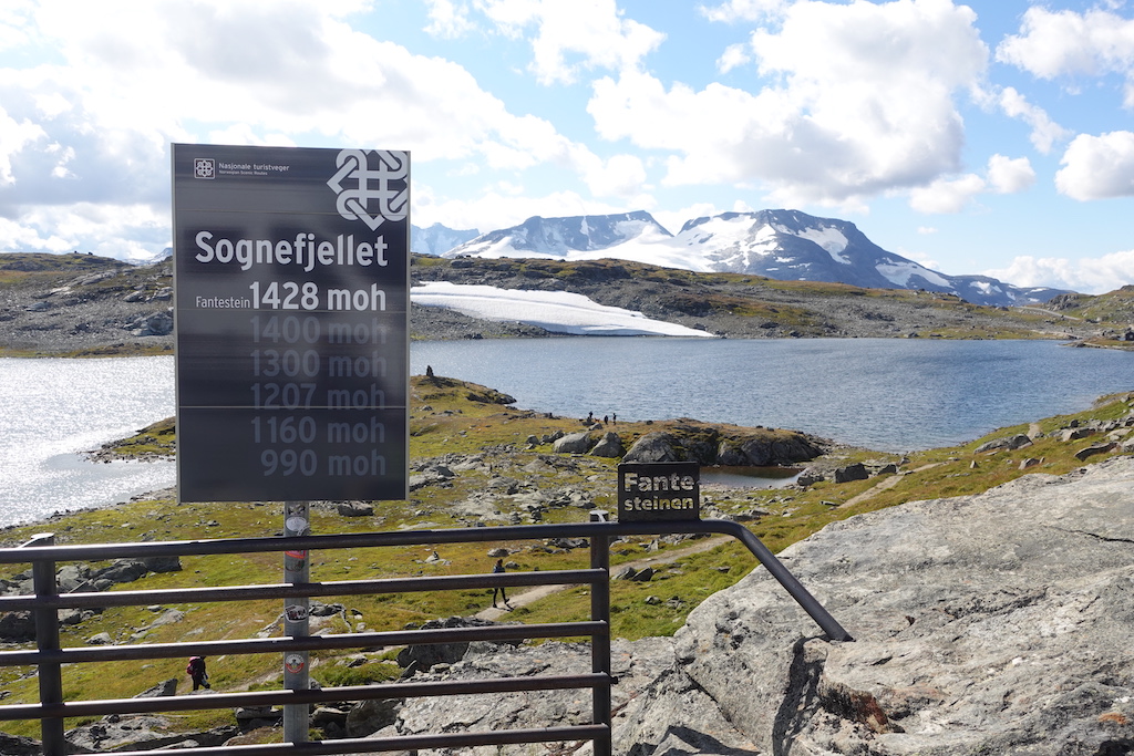
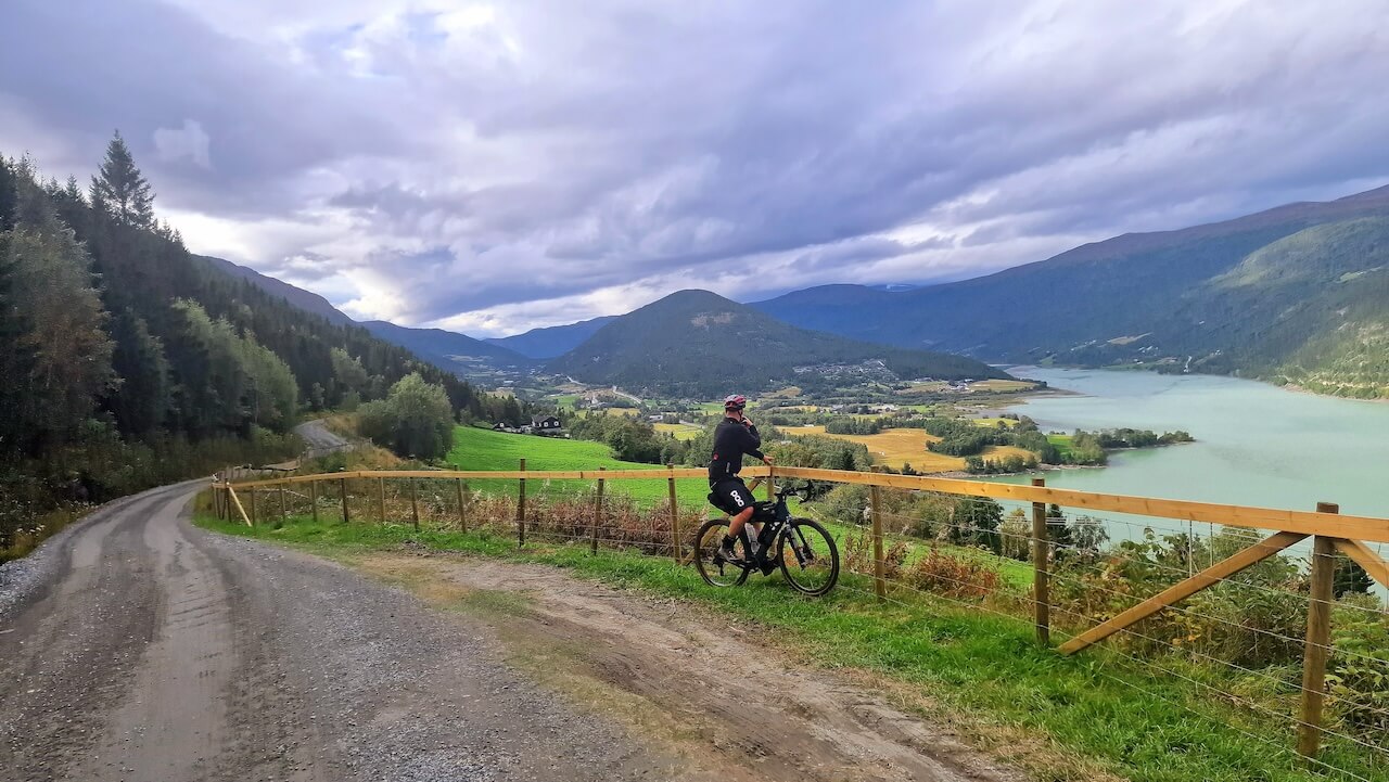
Jotunheimen — the Land of the Giants — is Norway’s most famous mountain region, known for its glaciers, high mountain lakes, and peaks rising well above 2,000 metres. Most people experience it on foot, hiking between cabins or climbing individual summits. This route offers something different: the chance to circle the national park by bike.
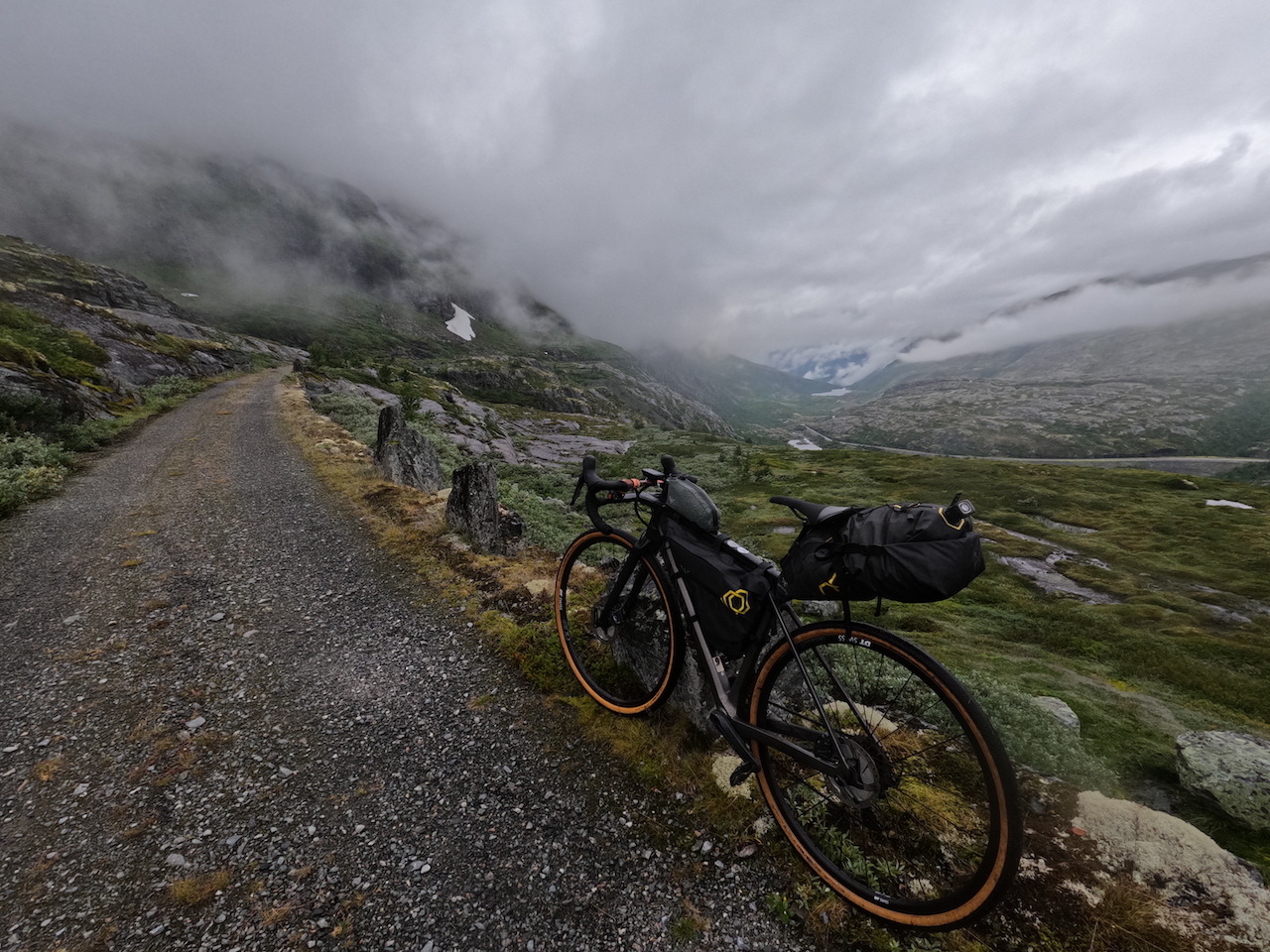
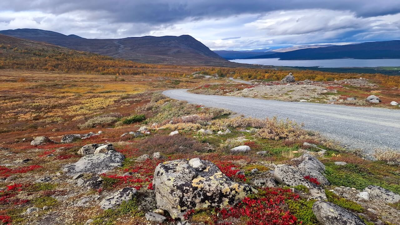
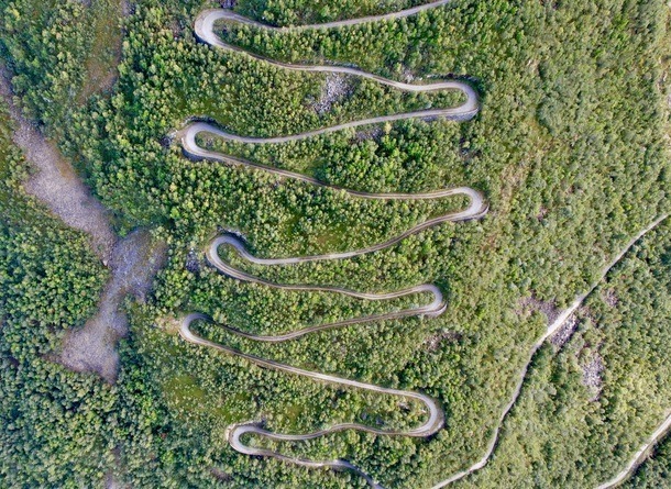
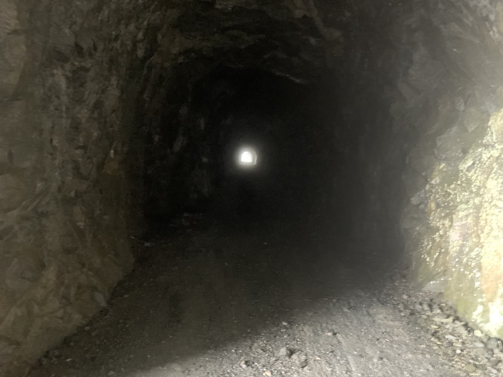
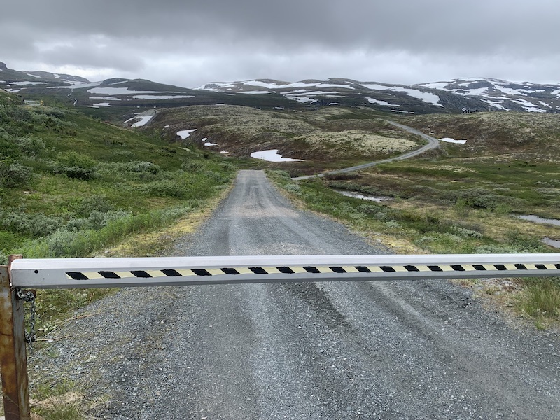
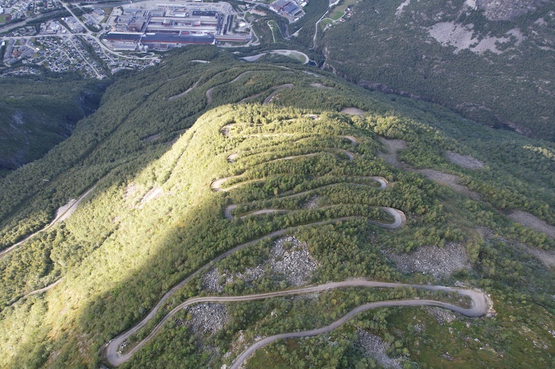
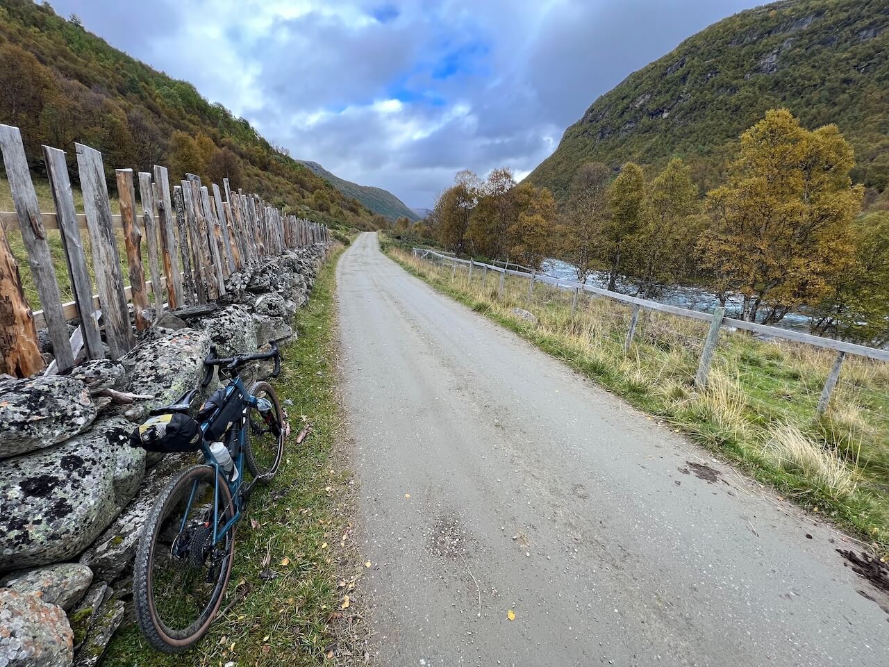
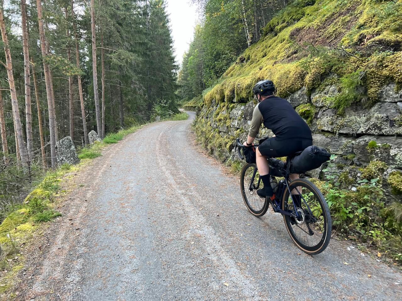
The route follows a mix of gravel roads, historic mountain passes, and quieter backroads that have connected valleys long before tourism existed. More than half of the route is gravel, with options to add quieter detours and spend even more time away from traffic and busy tourist areas.
The scenery constantly changes. One moment you are riding beside turquoise lakes and ice-fed rivers, the next crossing barren plateaus or climbing above the treeline with mountains surrounding you from every direction. Highlights include famous roads such as Sognefjellet and Tindevegen, along with Tusenmeteren, a climb gaining 1,000 vertical metres through 42 switchbacks.
This is not an easy route. It is exposed, physically demanding, and the weather can quickly change. But for riders wanting to spend time in one of Norway’s wildest mountain landscapes rather than simply passing through it, few routes offer a better experience.
Route map
When?
If you want to cycle the full route, you may need to wait until late June or early July to cross Tusenmeteren. However, if you are happy to skip Tusenmeteren by taking the main paved road below, the route can usually be ridden from mid June, or potentially earlier depending on when Jotunheimvegen opens. The route will stay open until late September/early October.
Getting there
- You can take the bus (Vardresekspressen) from Oslo to Beitostølen by NOR-WAY Bussekpress. Here it’s possible to book space for your bike. https://www.nor-way.no/en/routes/valdresekspressen/
- Another option is to take the train (vy.no) from Oslo or Oslo Airport to Vinstra. Here you can take NGR6, which will connect to this route after about 50km.
Hazards
Some of the paved sections experience tourist traffic during peak times, and you should expect campervans along scenic roads such as Valdresflye and Sognefjellet.
Some gravel sections are rough in places, and if you cycle the route clockwise, the descents from Tusenmeteren and Slettevegen are fast and steep, requiring good bike-handling skills to descend safely.
Bike Rental
You will find all bike rental options for the region here.

Few places in Europe offer such scale, scope, and beauty as this region of Norway!
Local recommendations

Tusenmeteren
Perhaps Norway’s most famous gravel road, with dramatic drops to the valley floor as you ride this remarkable route built over 100 years ago.

Sognefjellet

Brimi Seter
Located beside the waters of Tesse along NGR 7, Brimi Seter is one of those places many riders would simply cycle past without realising what they are missing. This traditional mountain farm offers a chance to experience a side of Norway that has changed little over generations.
Expect old timber buildings, local food, homemade cheese, grazing animals, and views towards some of Norway’s highest mountains. After a long day riding remote gravel roads and mountain passes, it is a memorable place to stop, slow down, and experience a quieter side of mountain Norway.

Free Bike Shelter
Along the Scenic Route Sognefjellet, before the heavy climbing begins, a quiet rest area (Liasanden) hidden within the forest sits beside a powerful glacier-fed river. Here you will find two free bike shelters that can be used for overnight stays, along with a public toilet for extra convenience.
Useful links
Booking.com – for accommodation options across Norway
Entur app – for planning public transport trips around Norway
Ferries – routes, timetables and information by Statens Vegvesen
Wild camping etiquette – important to know
Further Reading
Keep in mind
All cycling routes published on CYCLENORWAY.com are intended as planning resources and sources of inspiration to be used alongside your own research and judgement. Routes are created using careful research, but every cyclist has different abilities, expectations, and risk tolerance. Some routes may include hike-a-bike sections, muddy or wet hiking paths, technical terrain, steep climbs, descents, or remote areas that may not be suitable for everyone. Route data, mapping software, and conditions can also change or contain inaccuracies. Cycling in Norway is generally very safe. Nevertheless, if you choose to ride these routes, you do so at your own risk.


Leave a Reply