

425km
Distance
7535m
Elev. Gain
3-7
Days
55%
Unpaved
7/10
Difficulty
40-50mm
Ideal Types
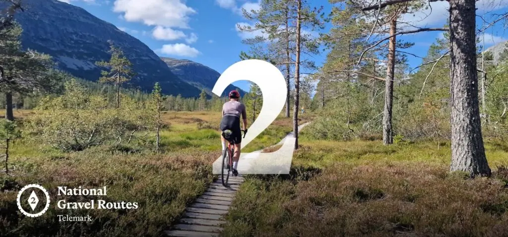
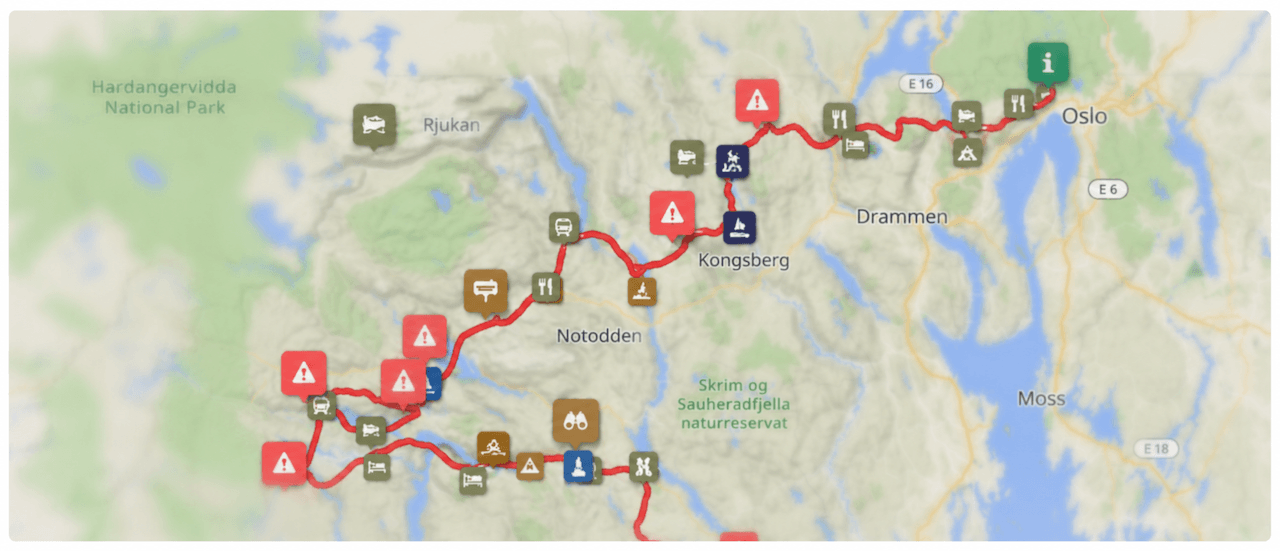
National Gravel Route 2: Telemark
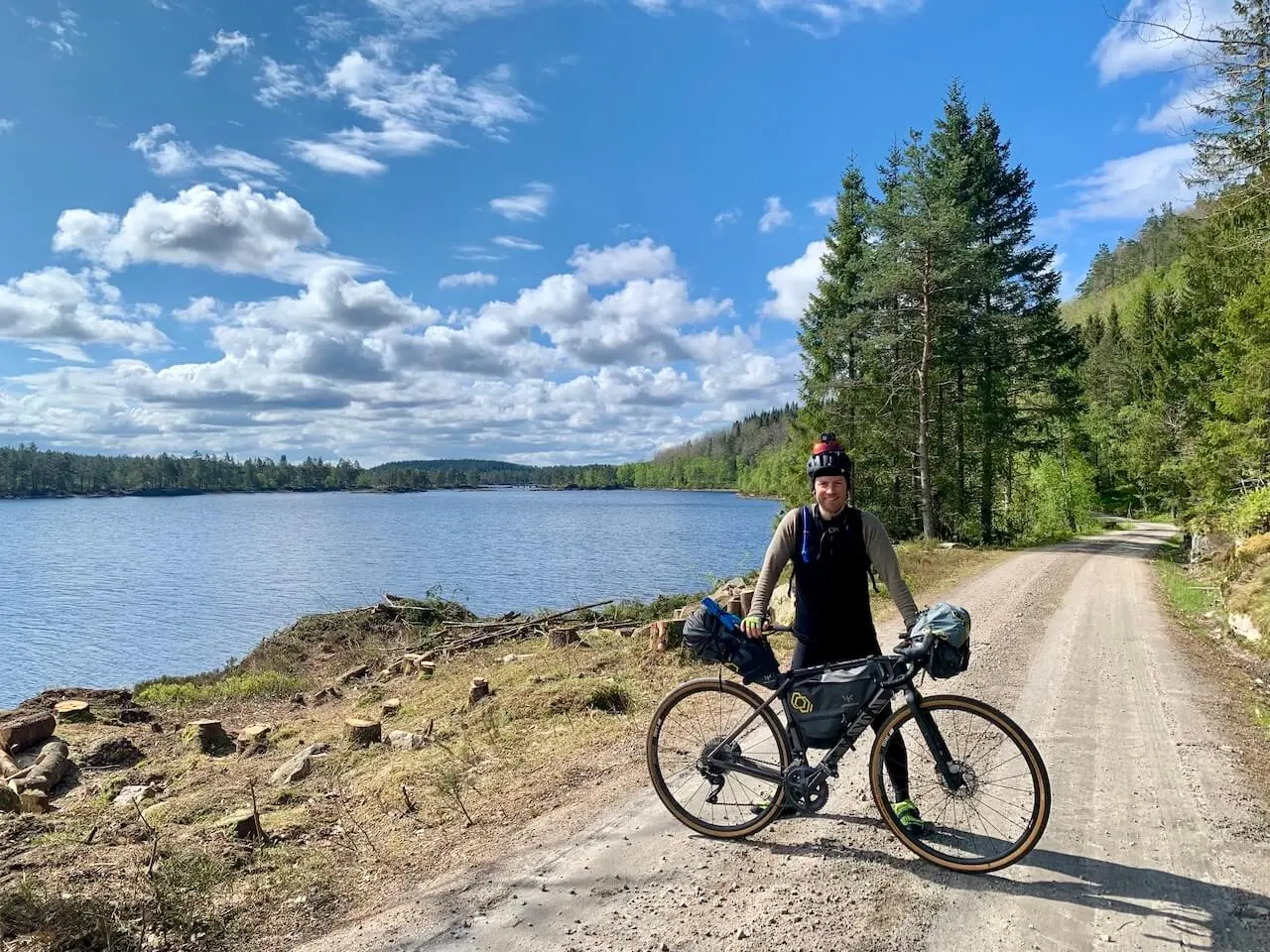
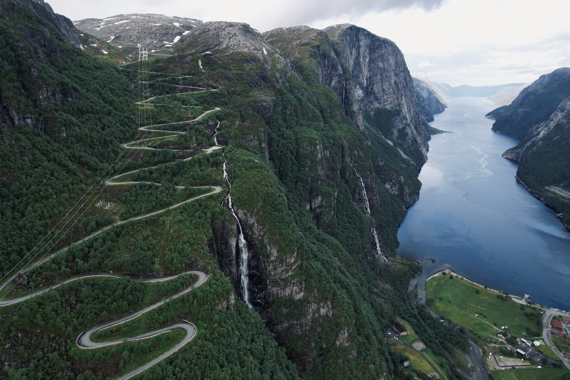
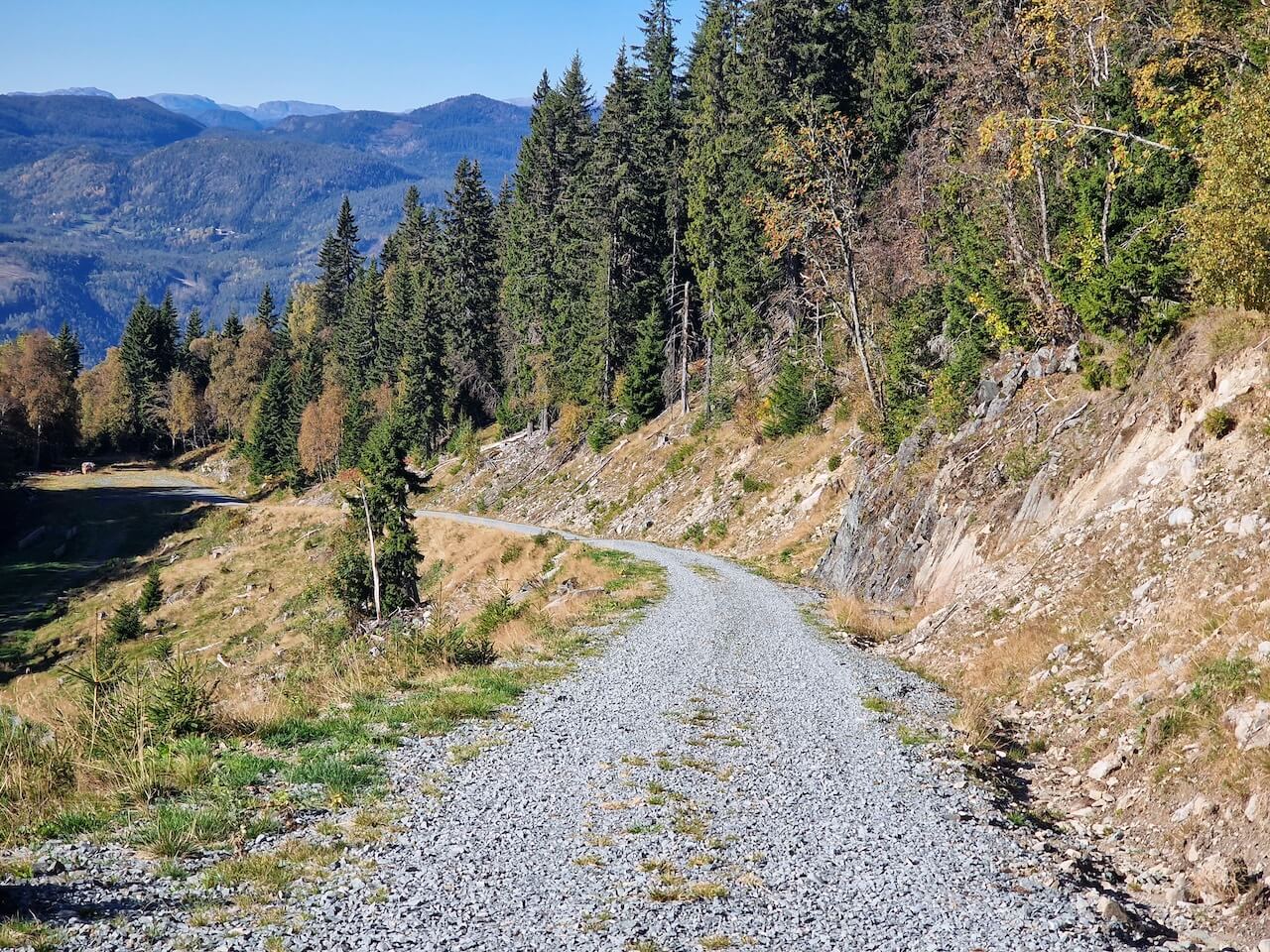
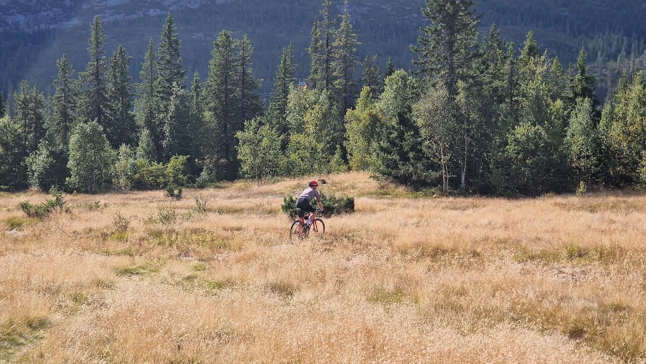
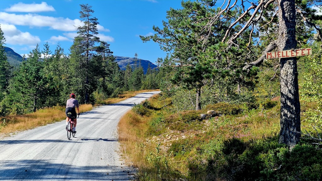
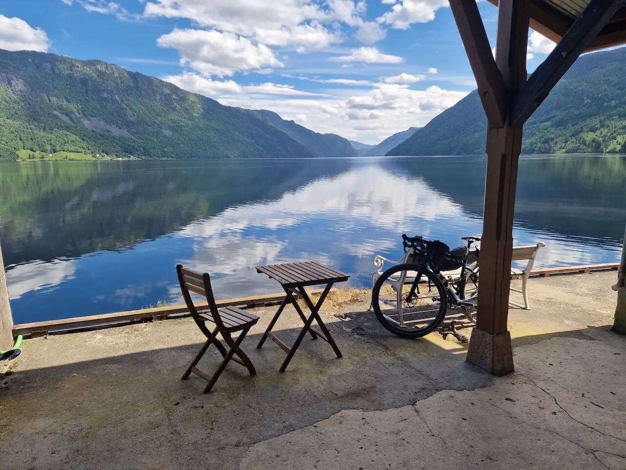
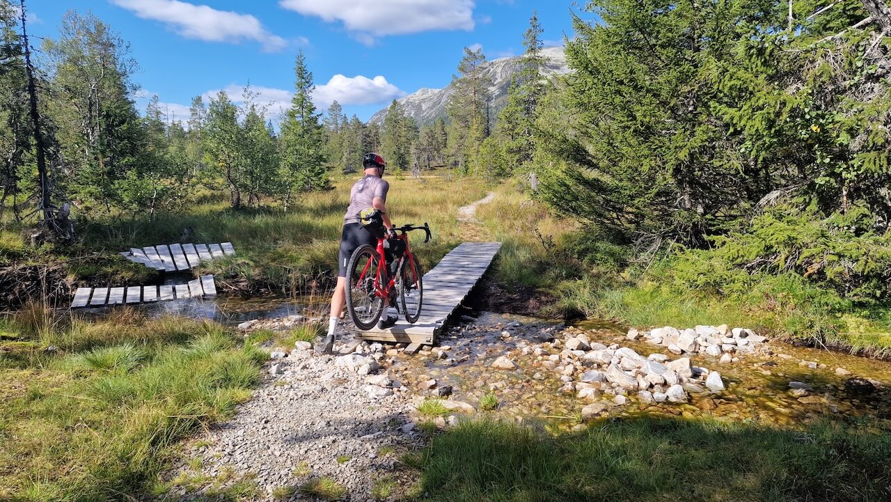
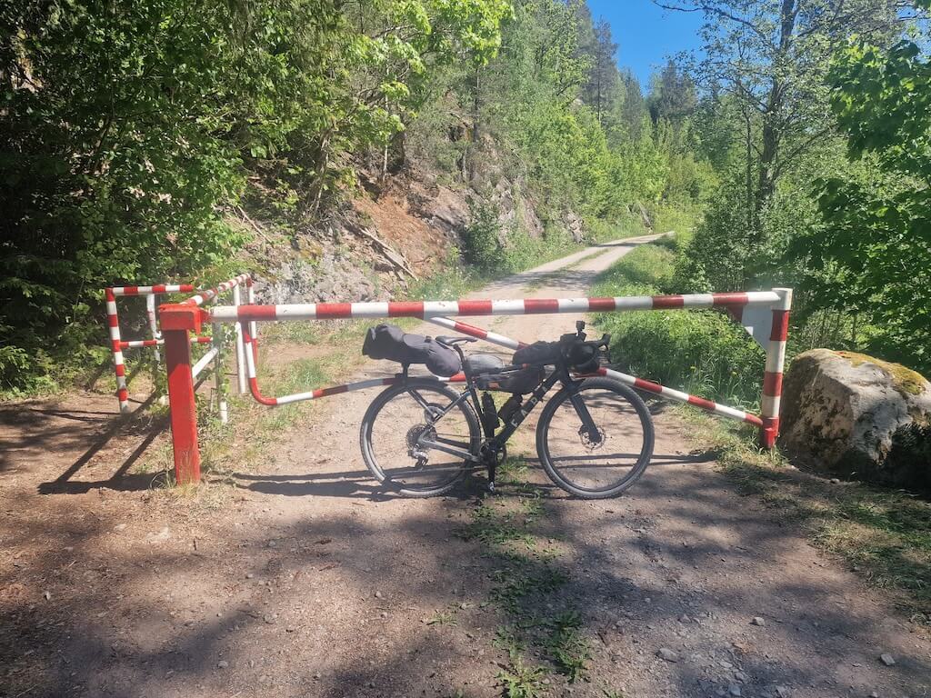
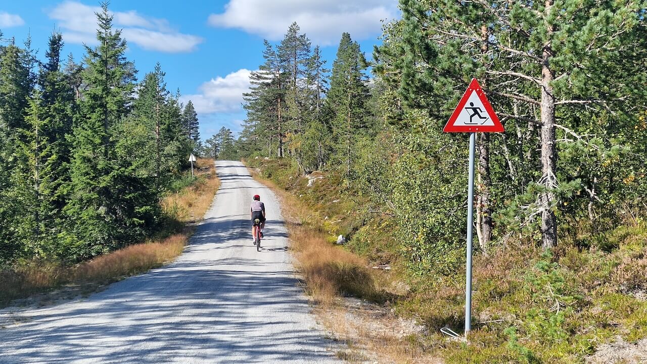
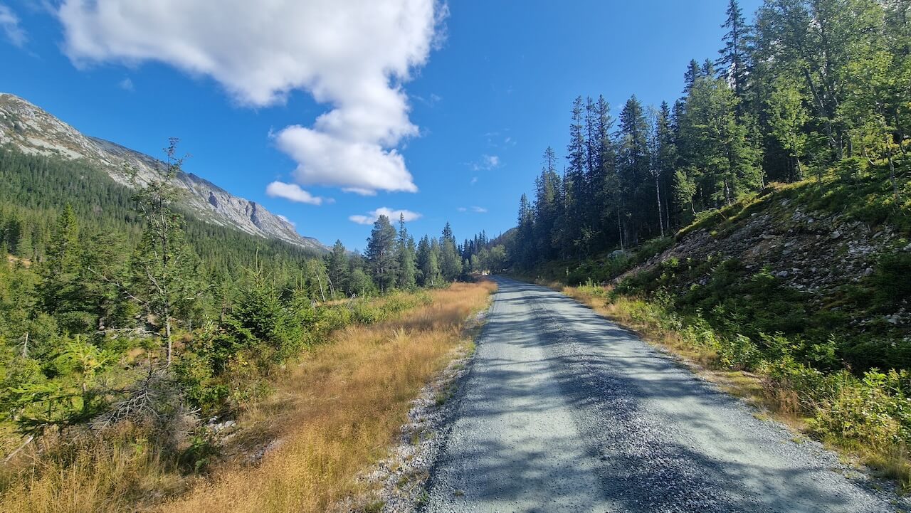
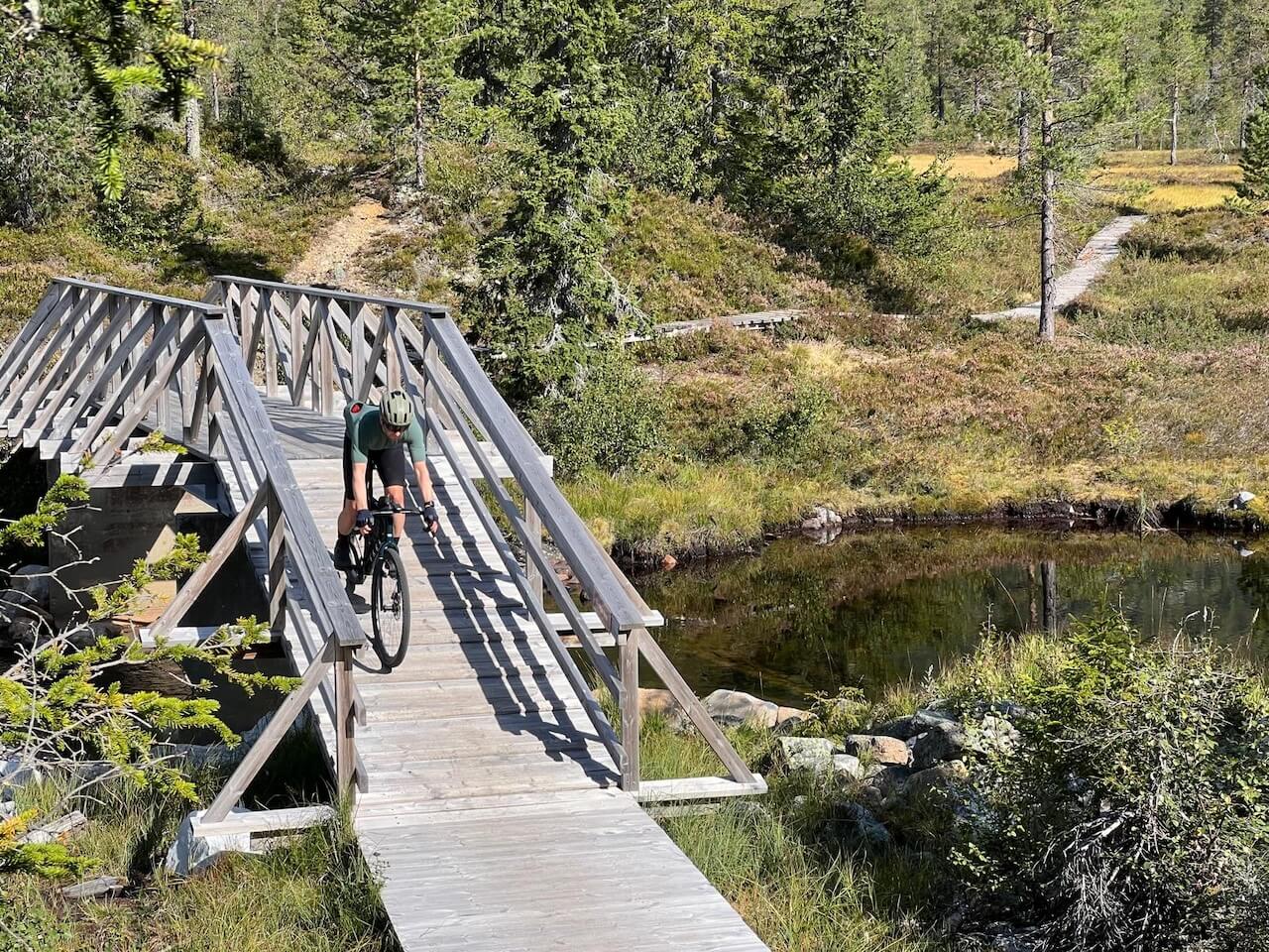
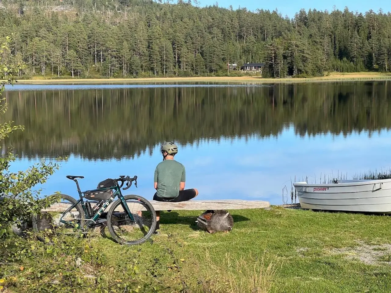
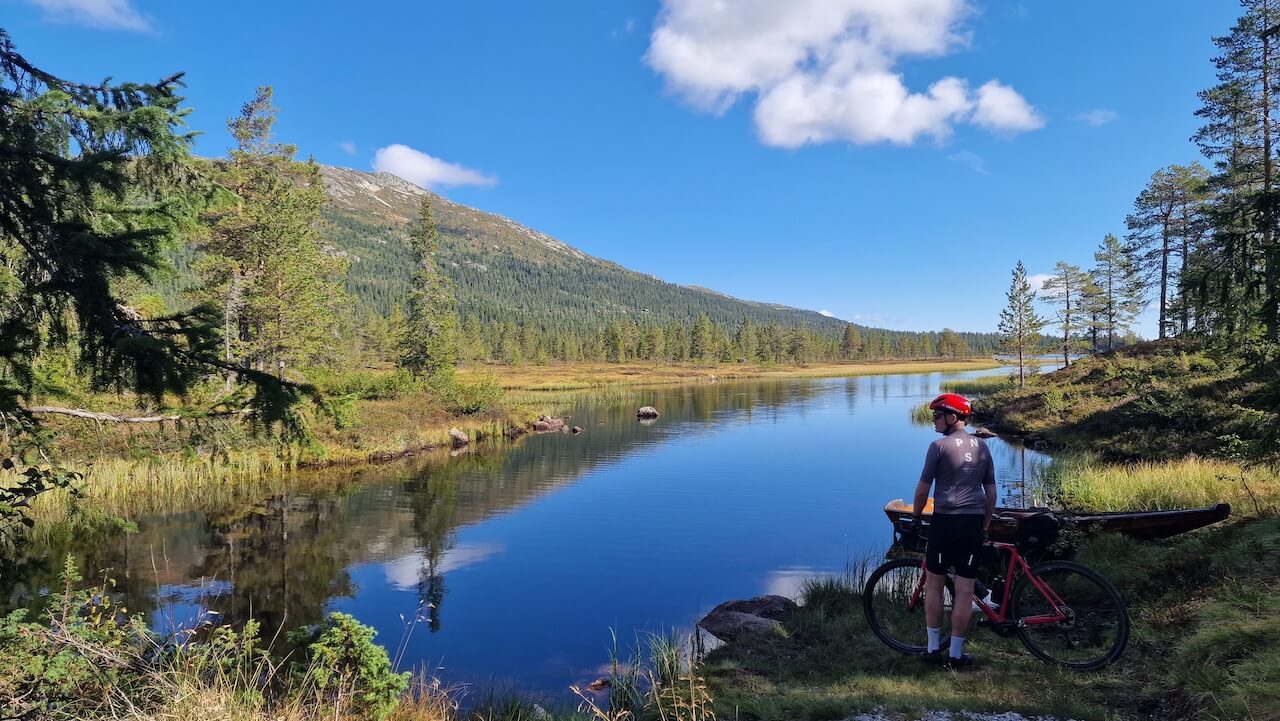
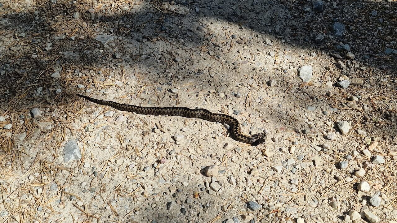
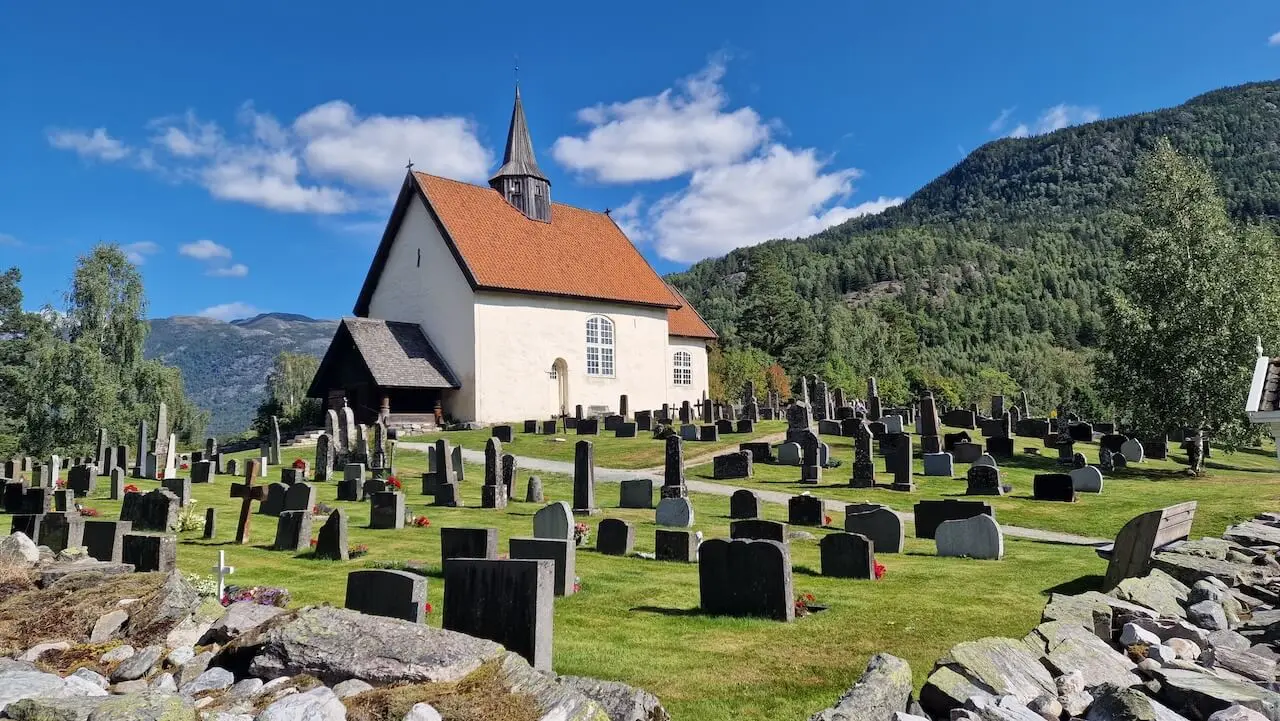
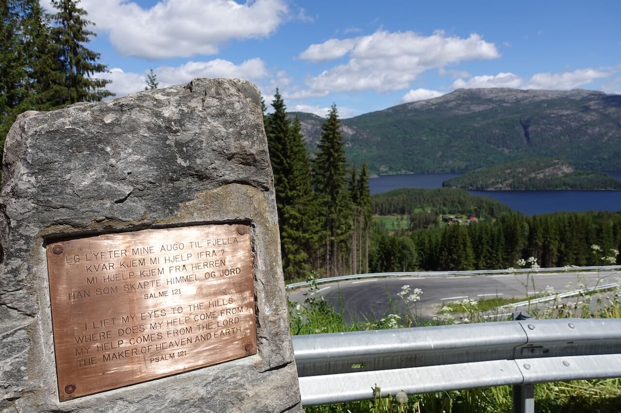
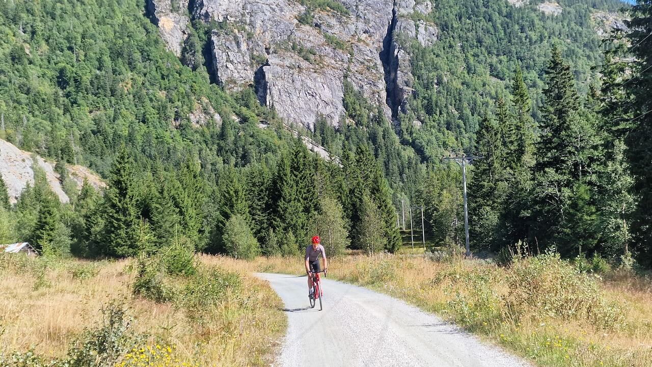
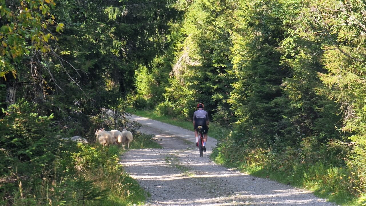
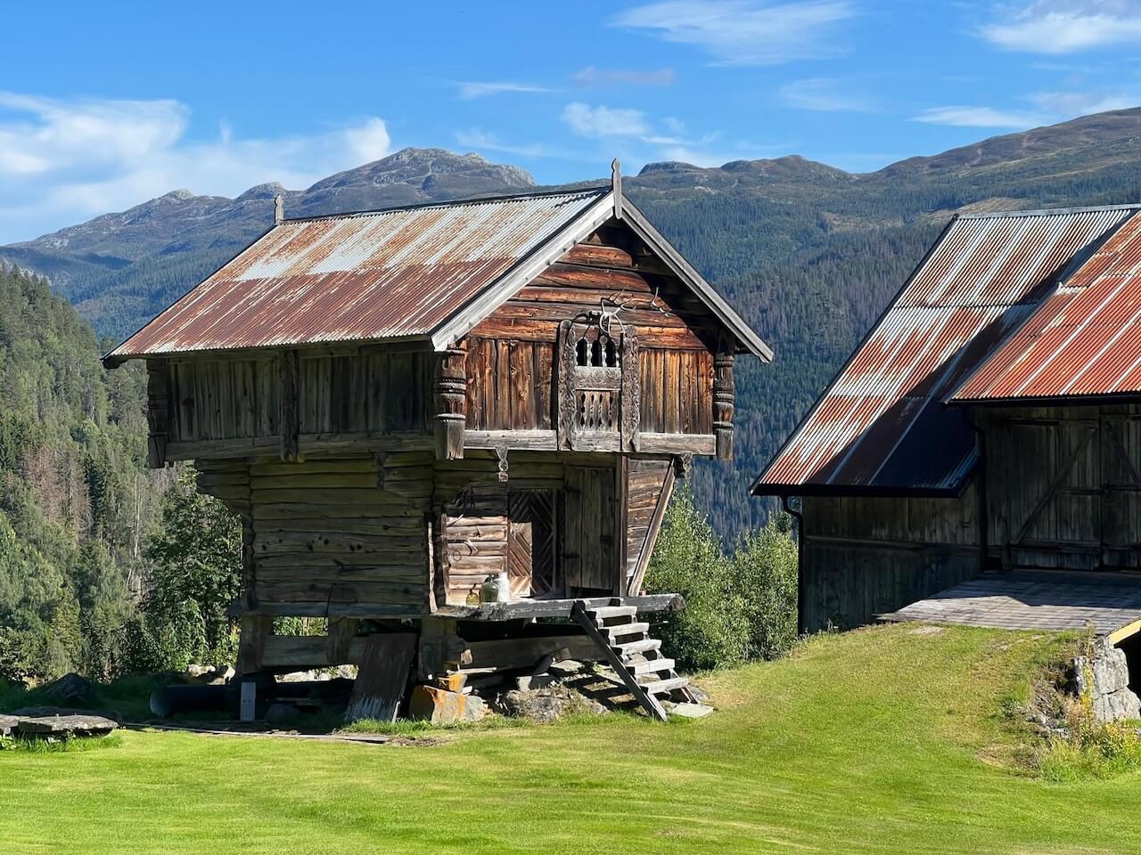
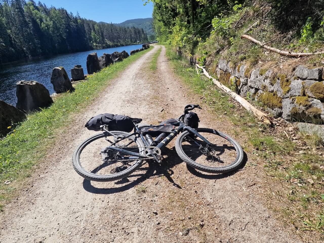
Route 2 leaves Oslo heading west through the forests of Vestmarka and Finnemarka, where the city quickly disappears and the roads become quieter. Gravel replaces traffic, and the route settles into a slower pace. As you enter Telemark, you follow landscapes shaped by water, forestry, and industry. These roads once connected sawmills, farms, and small communities long before oil transformed Norway. Today, many of these places feel forgotten.
The gravel roads here are often wide, quiet, and surrounded by endless forest and open upland. History rarely presents itself directly. Instead, you notice small things, old farm tracks, ruined foundations, or industrial buildings still standing long after their purpose disappeared.
Unlock the full content
Become a member to get complete access to:
- Detailed Stage Sections & Detour Options
- GPX files & interactive POI maps
- Transport options & logistics
- Accommodation recommendations
- Safety tips, highlights & more
Not ready to join yet?
Join our newsletter and get free planning resources:
-
Packlist

PDF -
Gravel Map
Preview -
Cycling Code
in Norway