
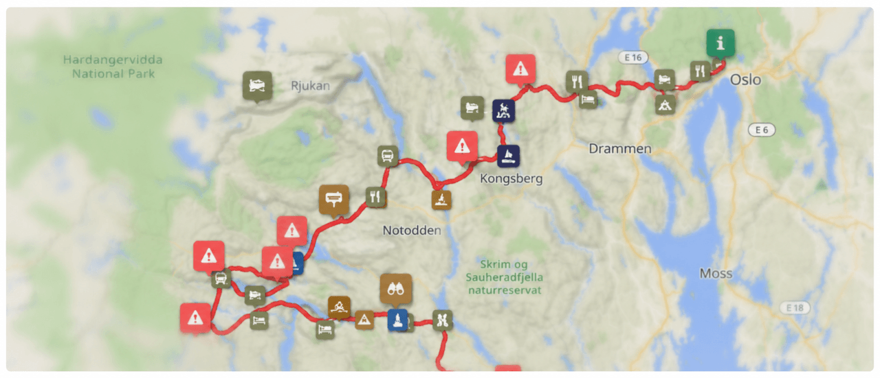
322km
Distance
4244m
Elev. Gain
2-5
Days
70%
Unpaved
7/10
Difficulty
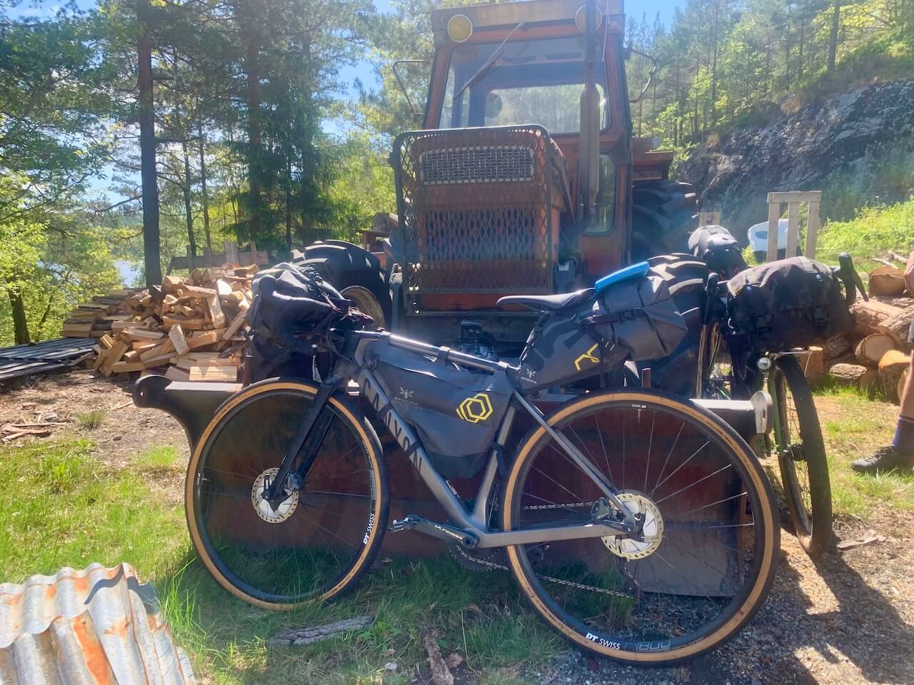
40-50mm
Ideal Types
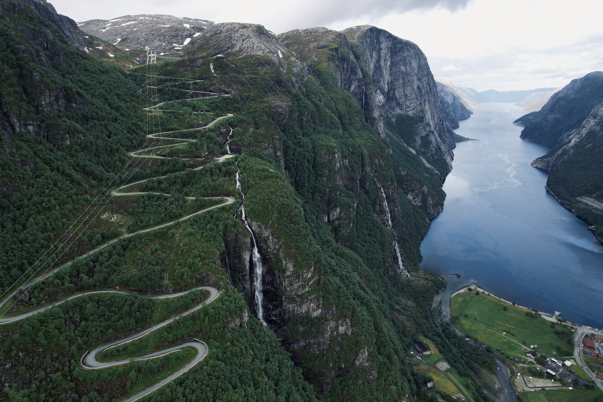
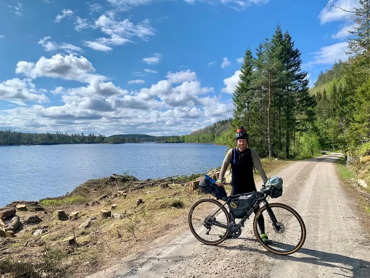
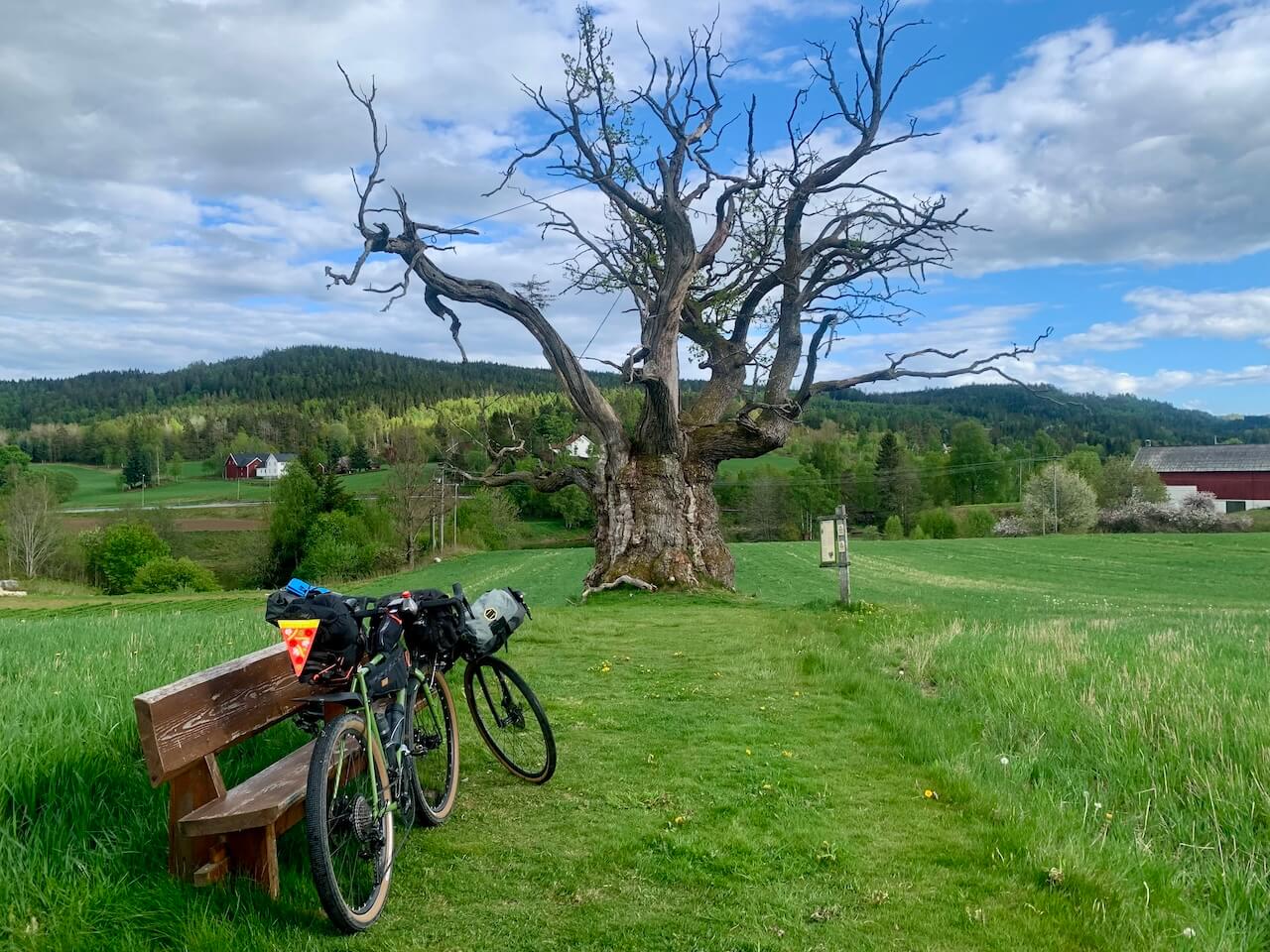
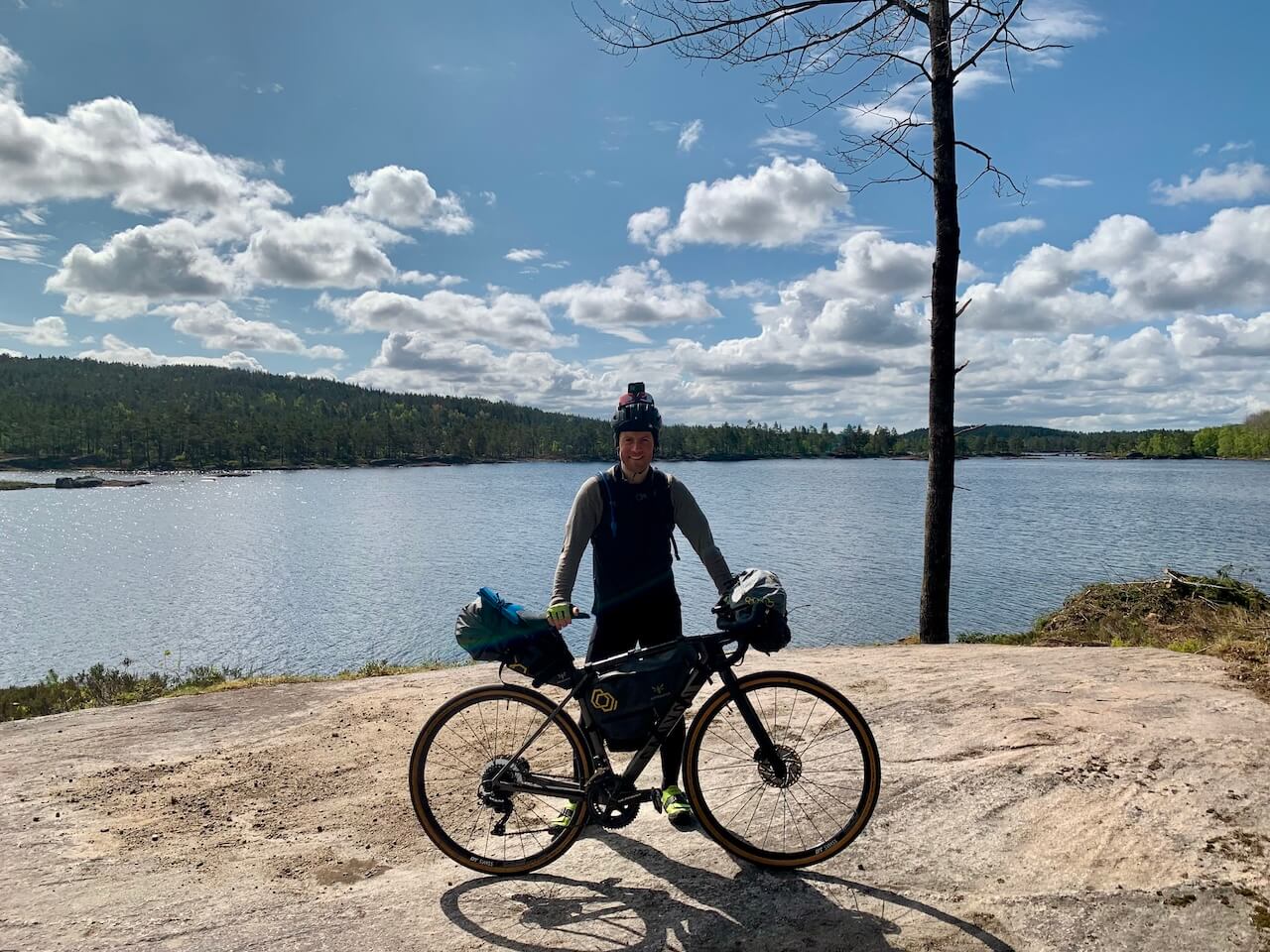
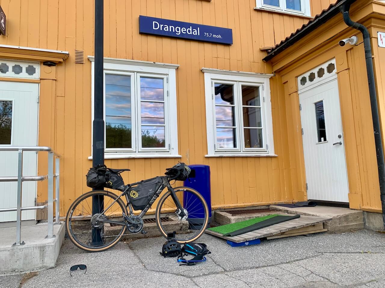
Agder Divide
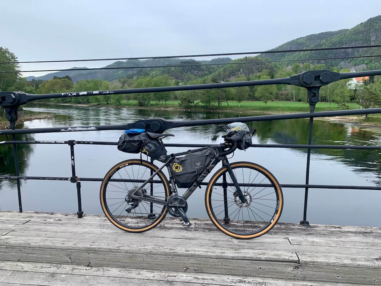
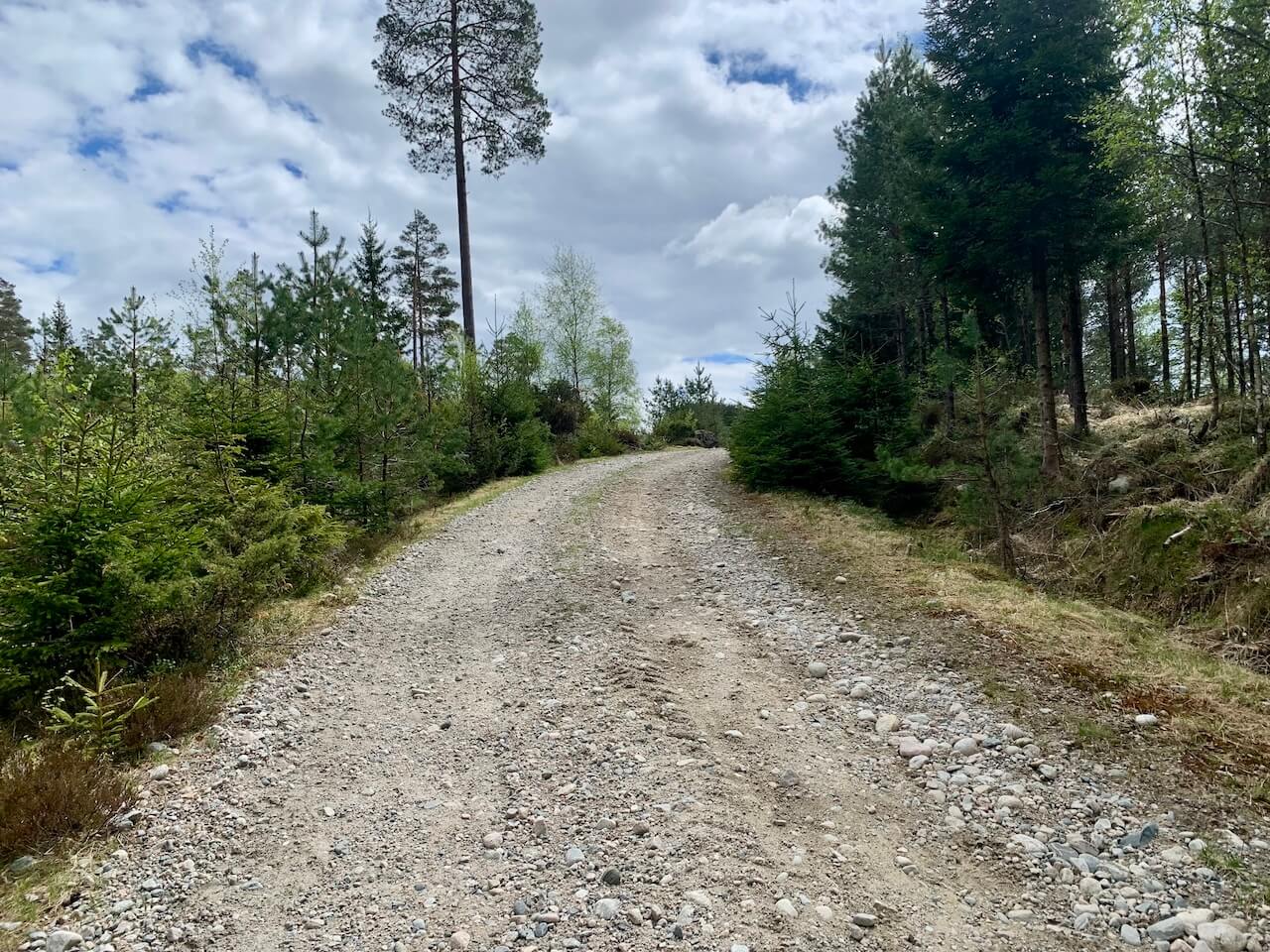
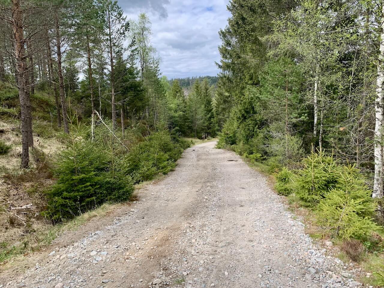
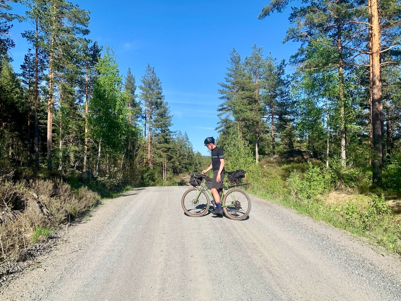
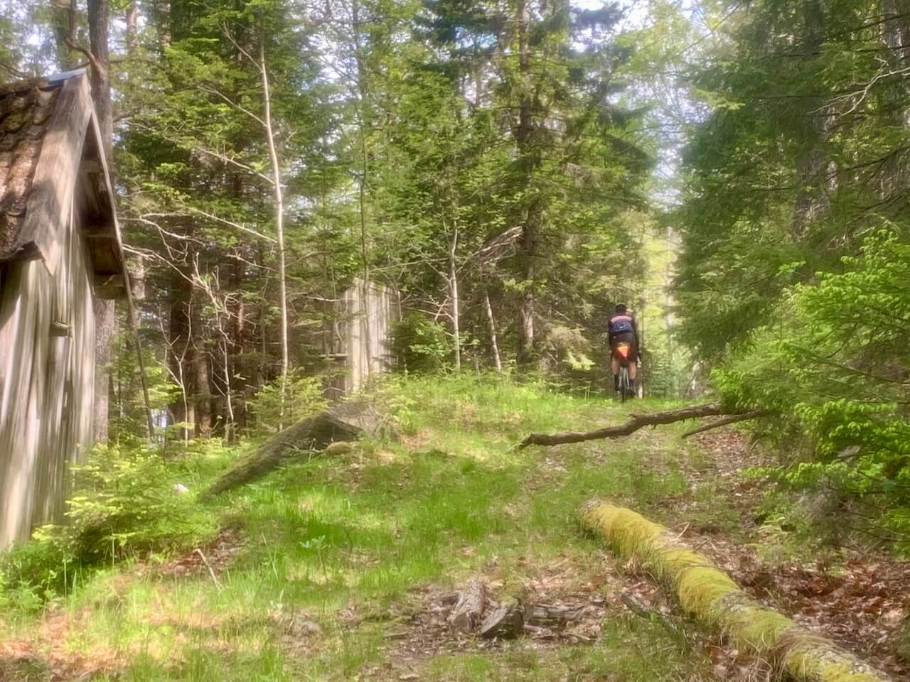
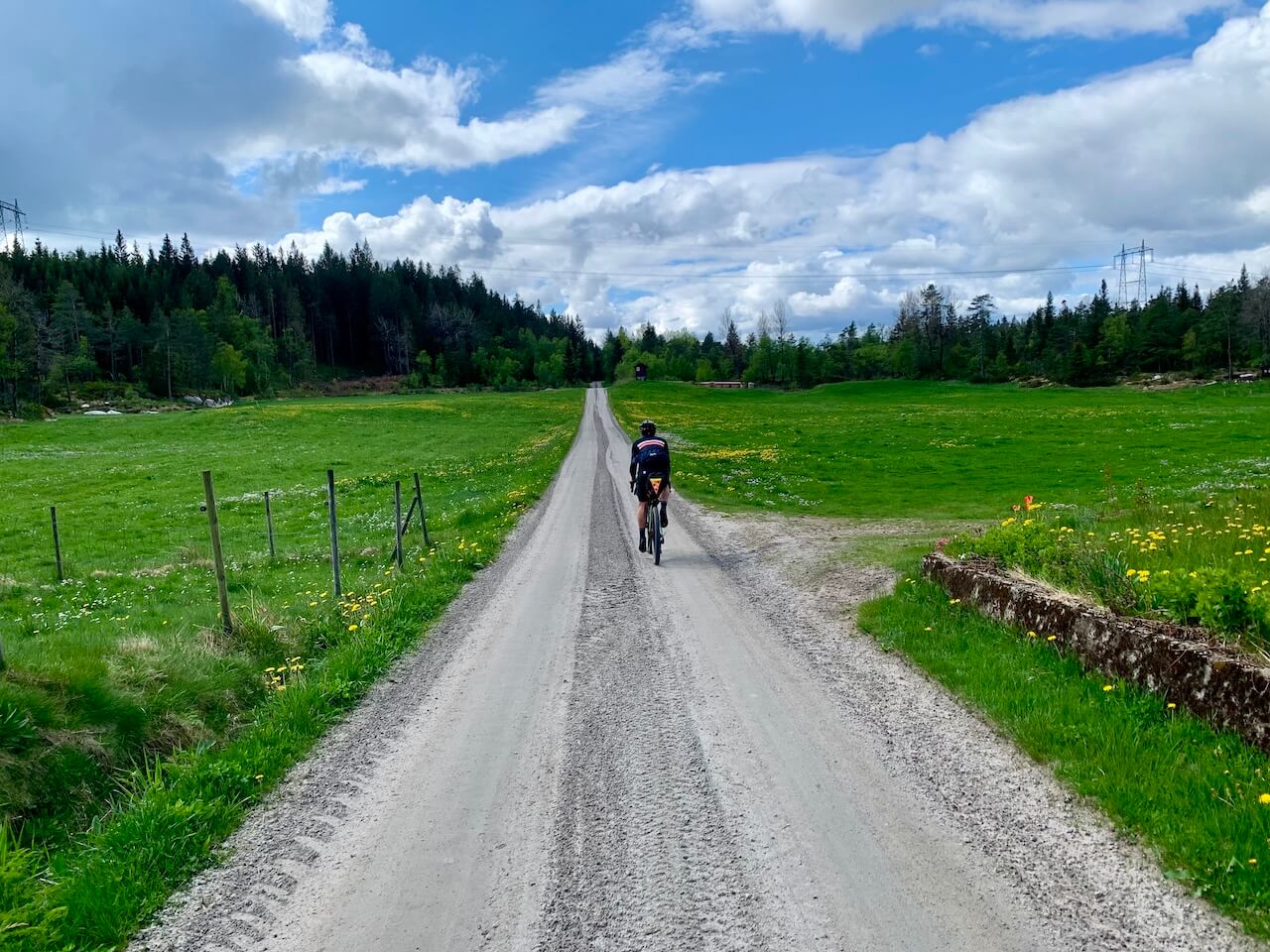
Agder is a county in the heart of southern Norway, far from the usual tourist maps and sparsely populated even by Norwegian standards. This route takes you over 300 km of some of the quietest and most remote roads in Agder and Telemark, through a landscape shaped more by forestry and small settlements than by tourism.
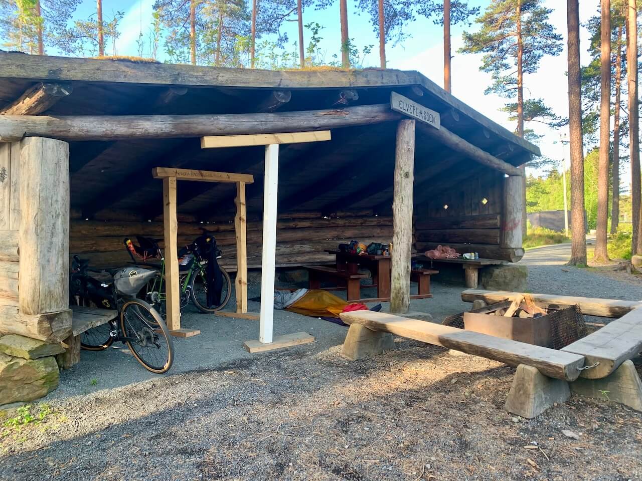
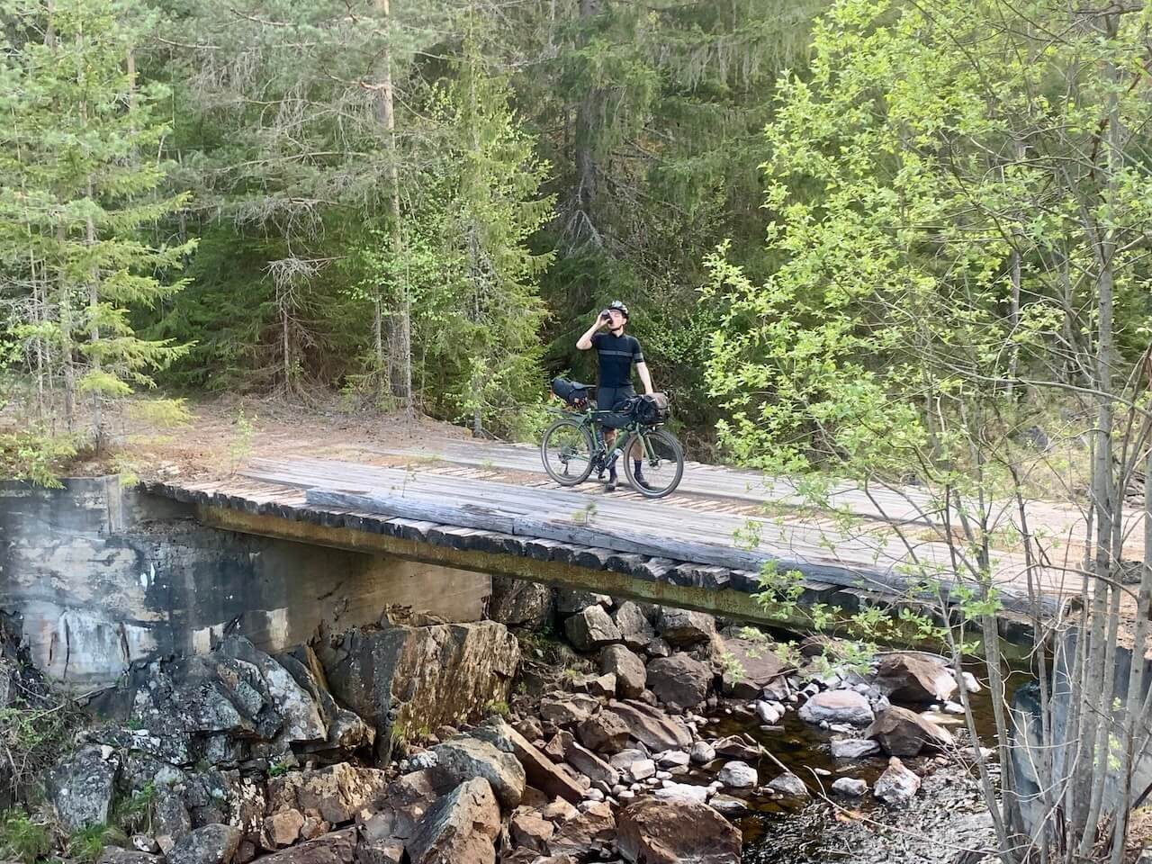
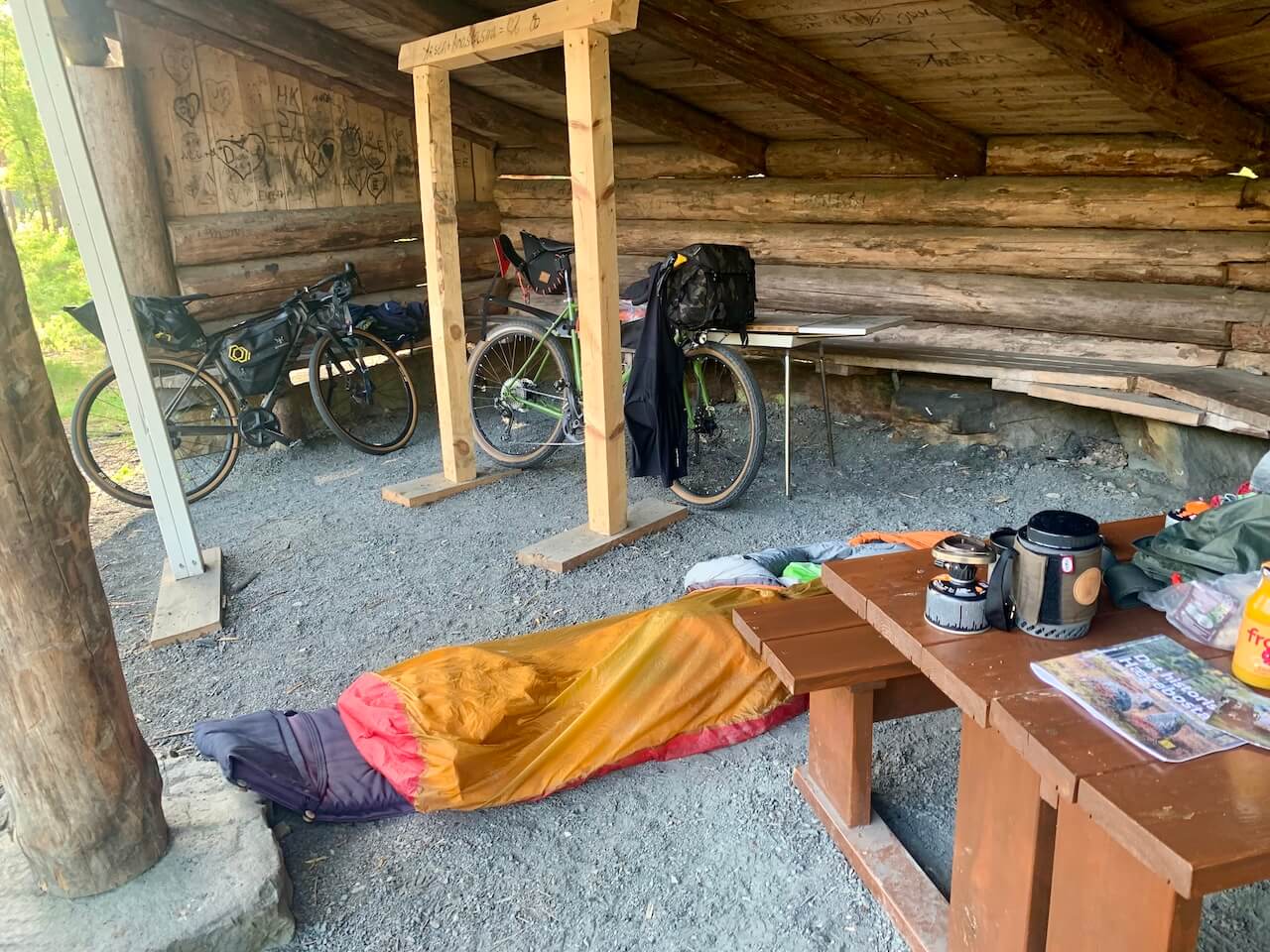
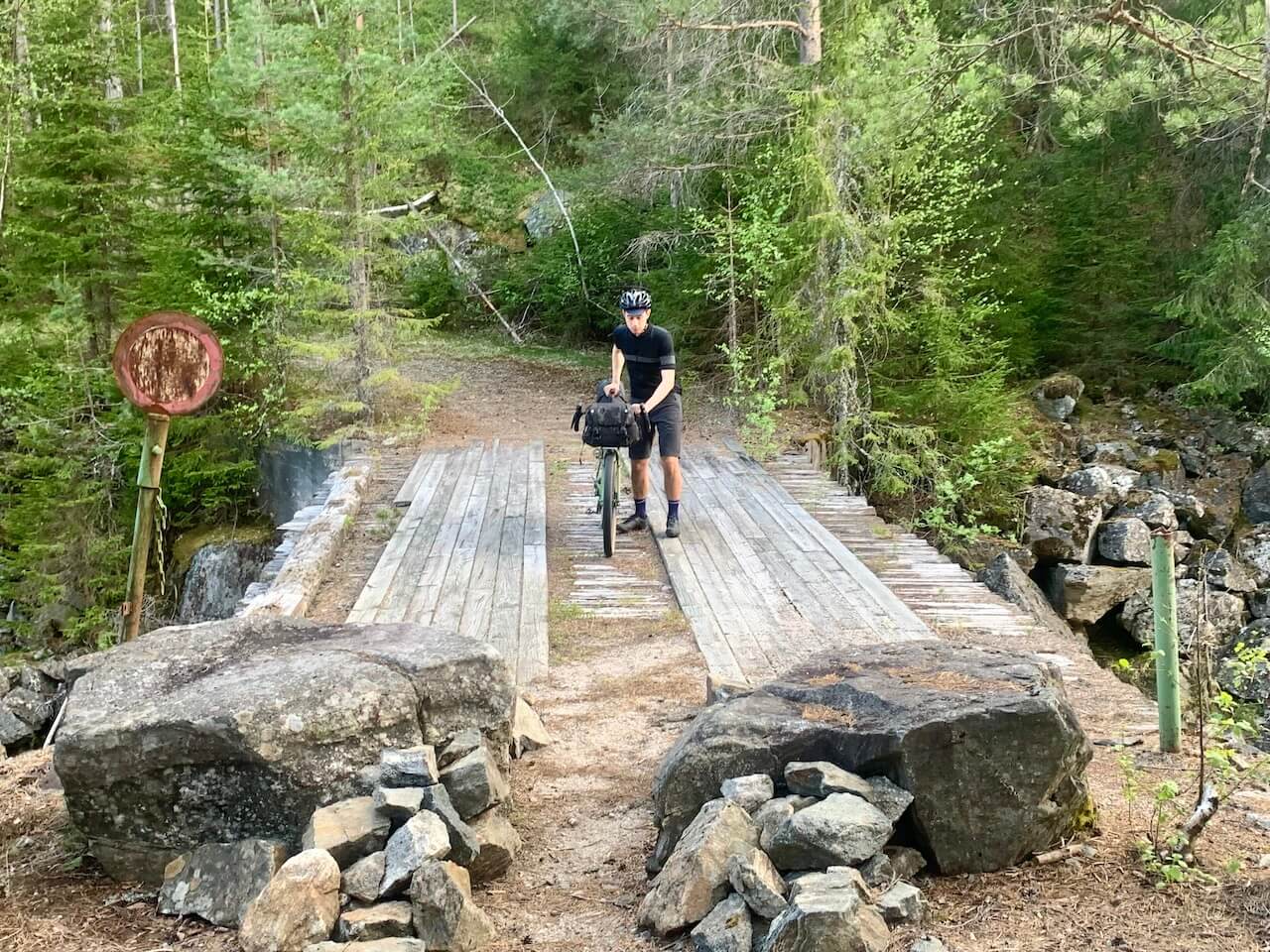
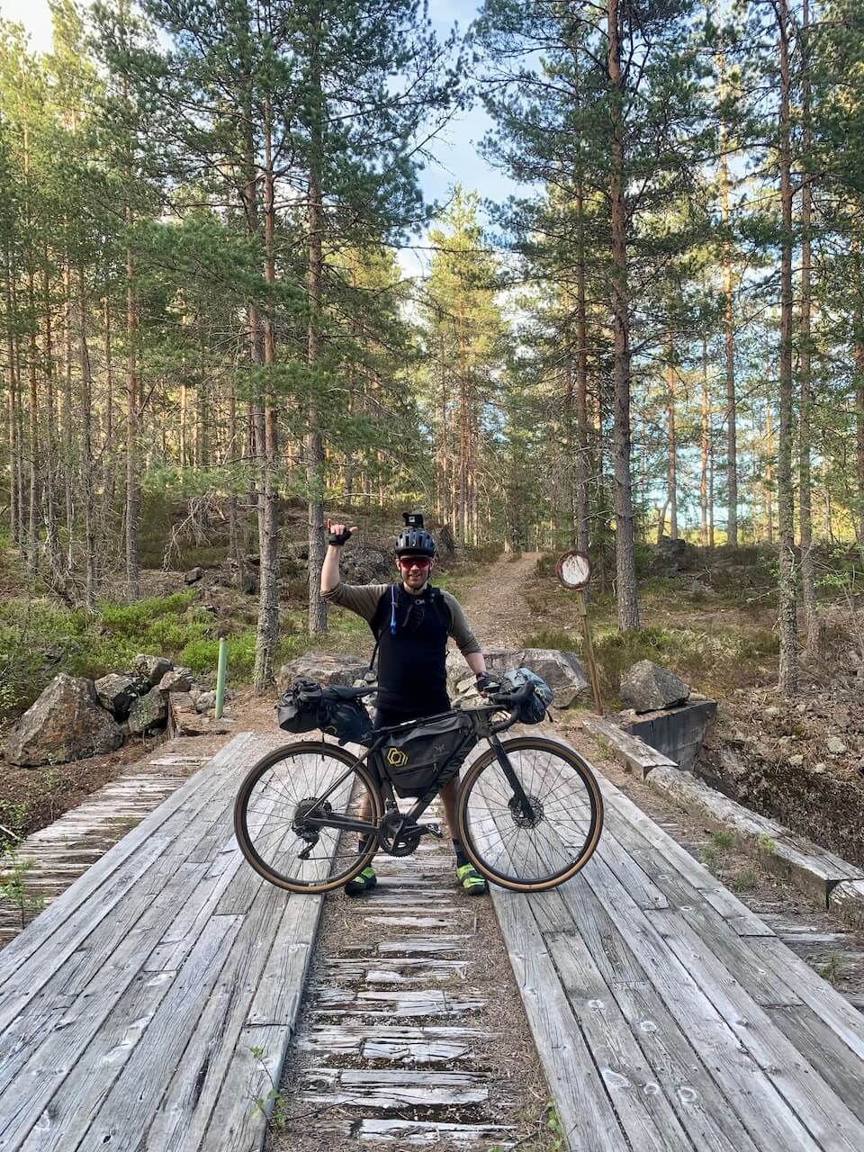
Peaceful forests, sleepy villages, and long stretches with more wildlife than cars define this classic southern bikepacking route. Riding is mainly on gravel roads through rolling forest terrain, with a few narrow singletrack sections and a short hike-a-bike that adds texture rather than difficulty.
Unlock the full content
Become a member to get complete access to:
- Detailed Stage Sections & Detour Options
- GPX files & interactive POI maps
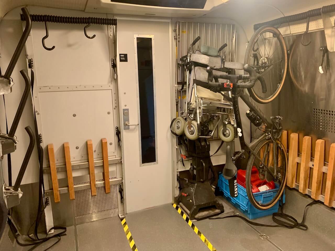
- Transport options & logistics
- Accommodation recommendations
- Safety tips, highlights & more
Not ready to join yet?
Join our newsletter and get free planning resources:
-
Packlist

PDF -
Gravel Map
Preview -
Cycling Code
in Norway