
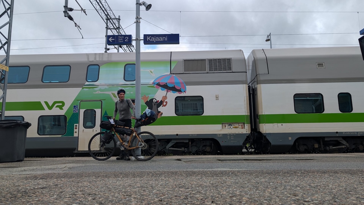
The trip took place in June. It takes time to get there if you don’t want to fly, and with only three weeks to spare, I chose the slow route: taking the ferry from Germany to Helsinki, then catching the next train north to Kajaani, in the middle of the country. Night trains can take you even further north, all the way to the Arctic Circle. I hope this story inspires others to ride the far north trails.
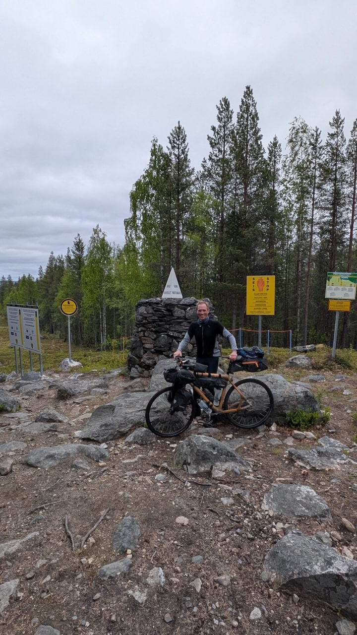
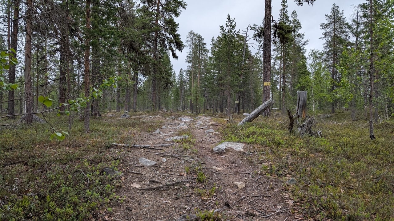
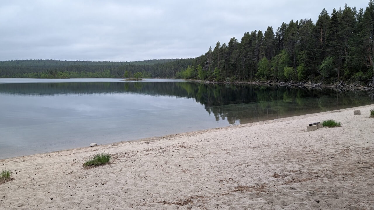
Starting in Kajaani, the route follows EuroVelo 13 (The Iron Curtain Route) along Finland’s eastern frontier. Quiet roads trace the Russian border past vast forests, remote lakes, and forgotten wartime landmarks. National parks like Hossa and Oulanka offer perfect stops for hiking or trail riding. Near Lake Inari, the sealed road ends, but the journey doesn’t. A challenging 20 km hike-a-bike trail takes you past the tripoint where Finland, Russia, and Norway meet: a place few cyclists ever reach.
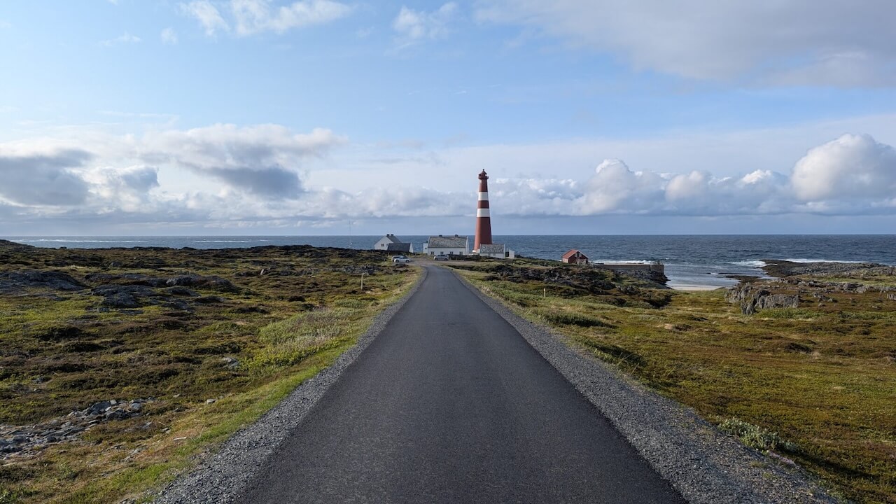
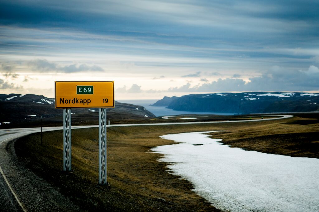
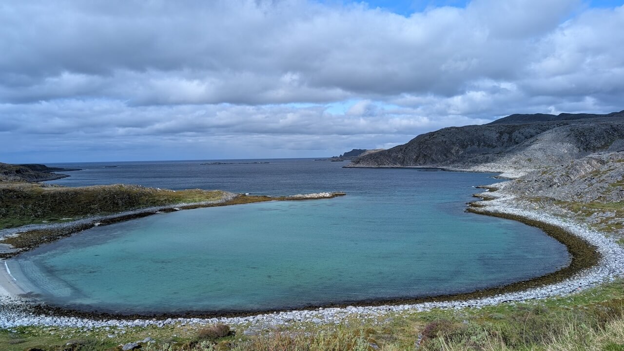
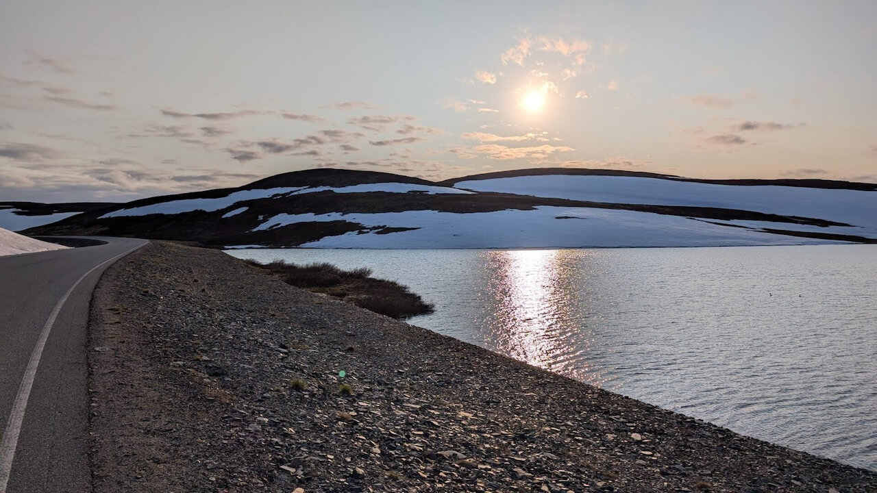
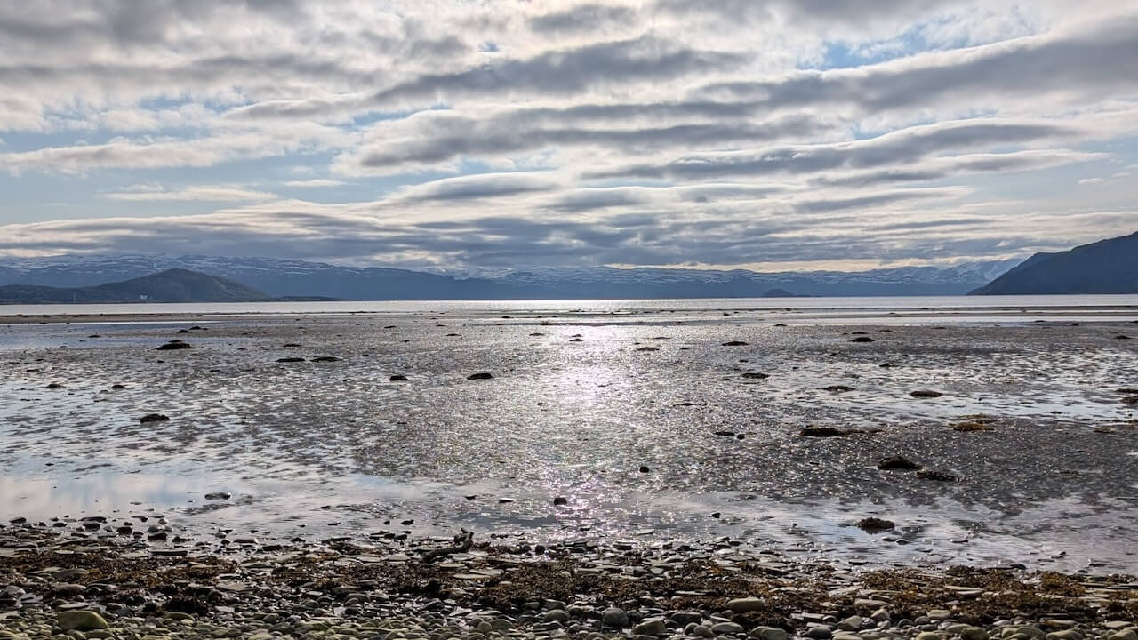
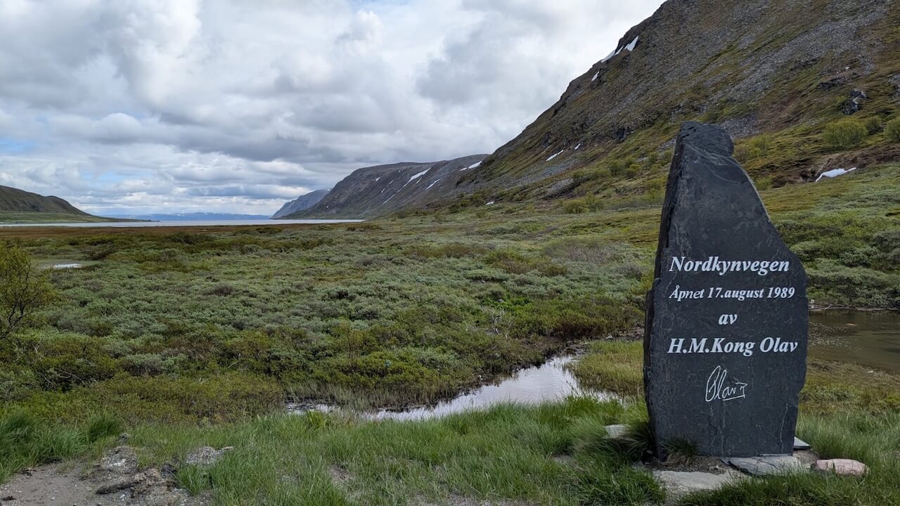
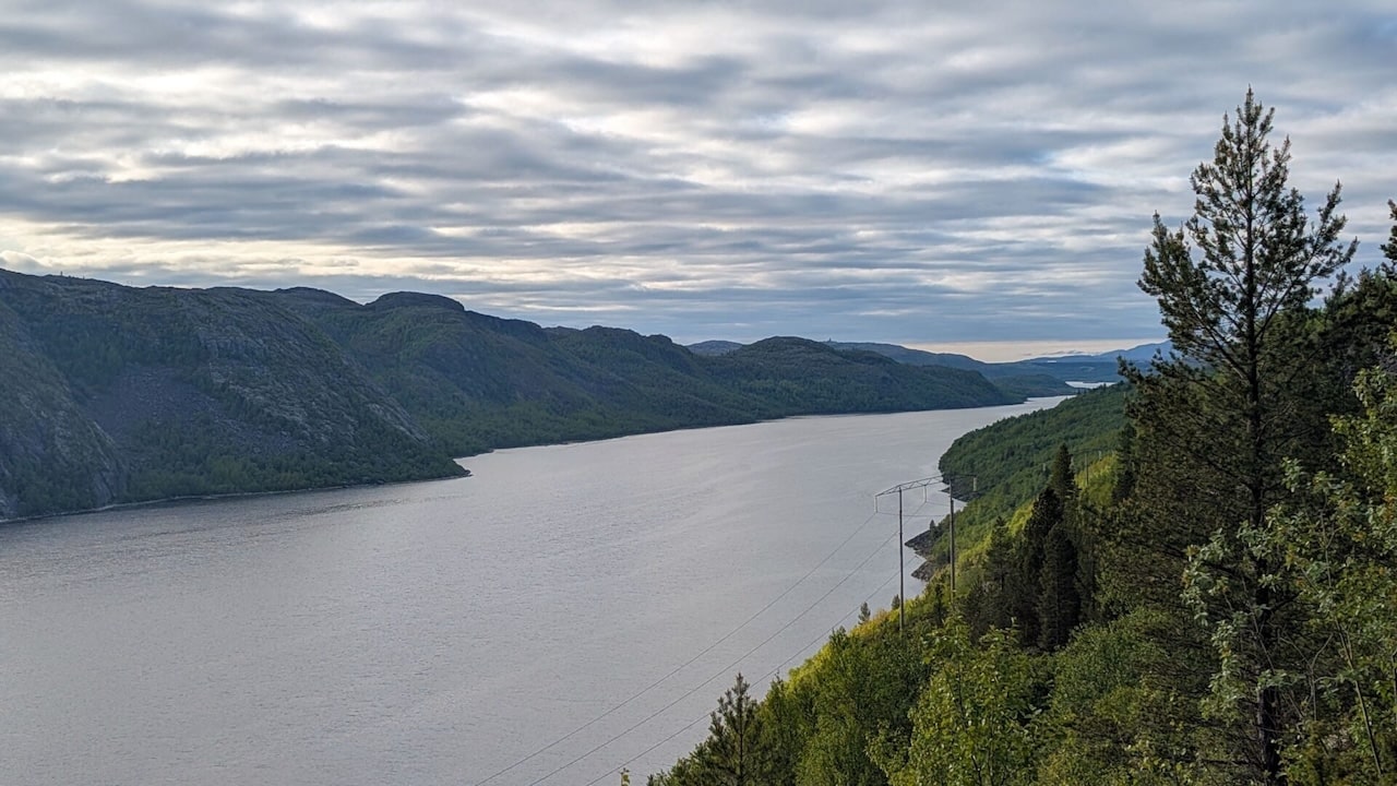
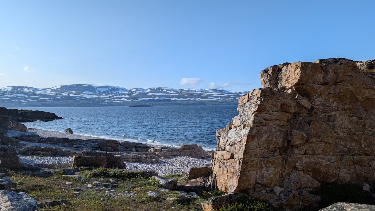
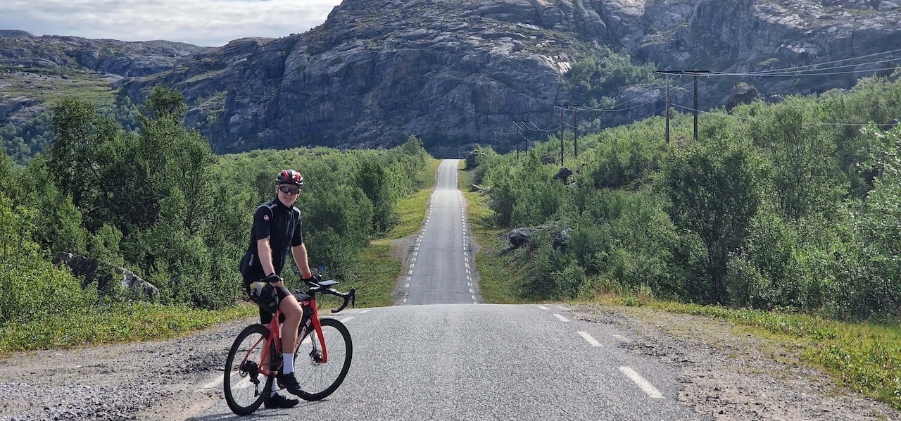
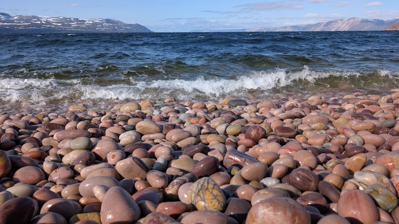
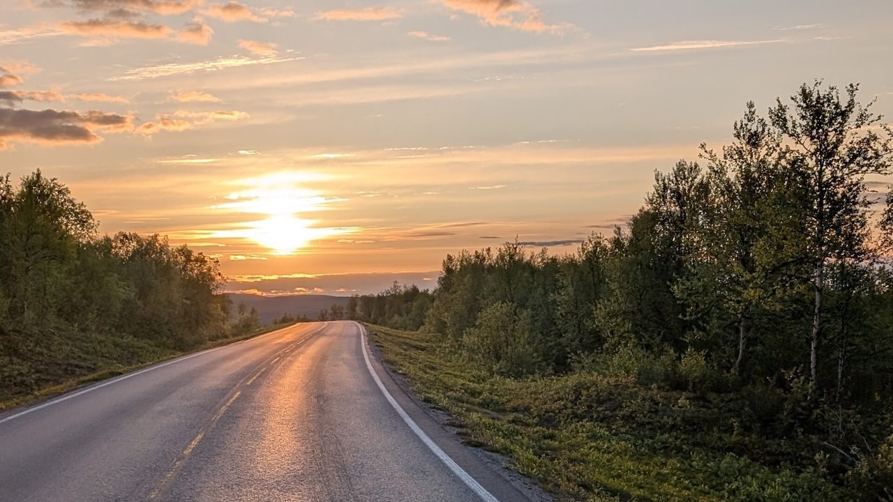
In Norway, the landscape opens up. Fjords replace forests, reindeer line the roads, and the midnight sun paints everything gold. From Svanvik to Mehamn, you’ll ride past calm rivers, through Pasvik Valley’s wilderness, and up to the windswept Arctic coast. One of the route’s high points, literally and symbolically – is Slettnes lighthouse: the northernmost on the European mainland, just shy of North Cape, but blissfully free of tour buses.
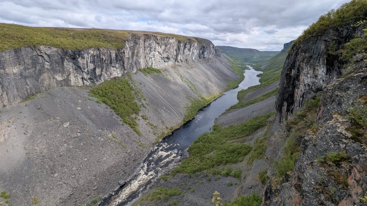
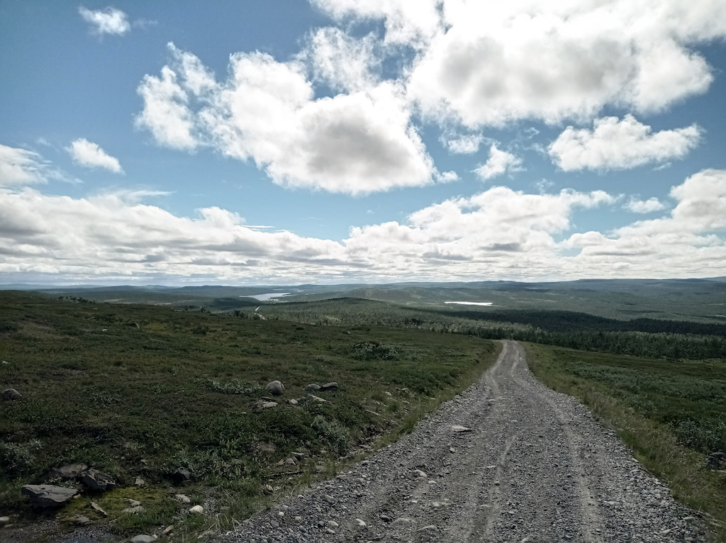
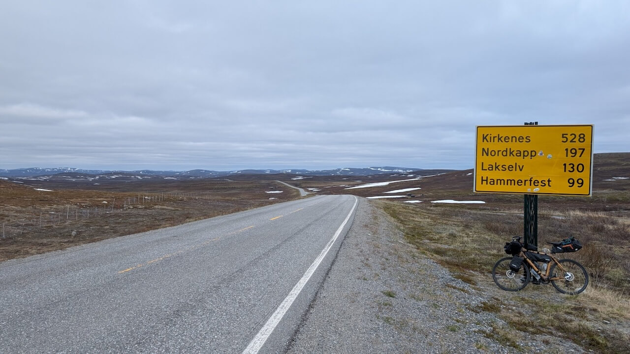
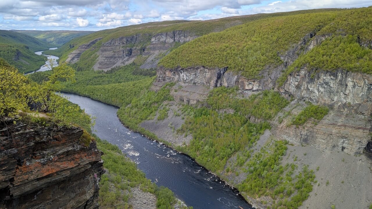
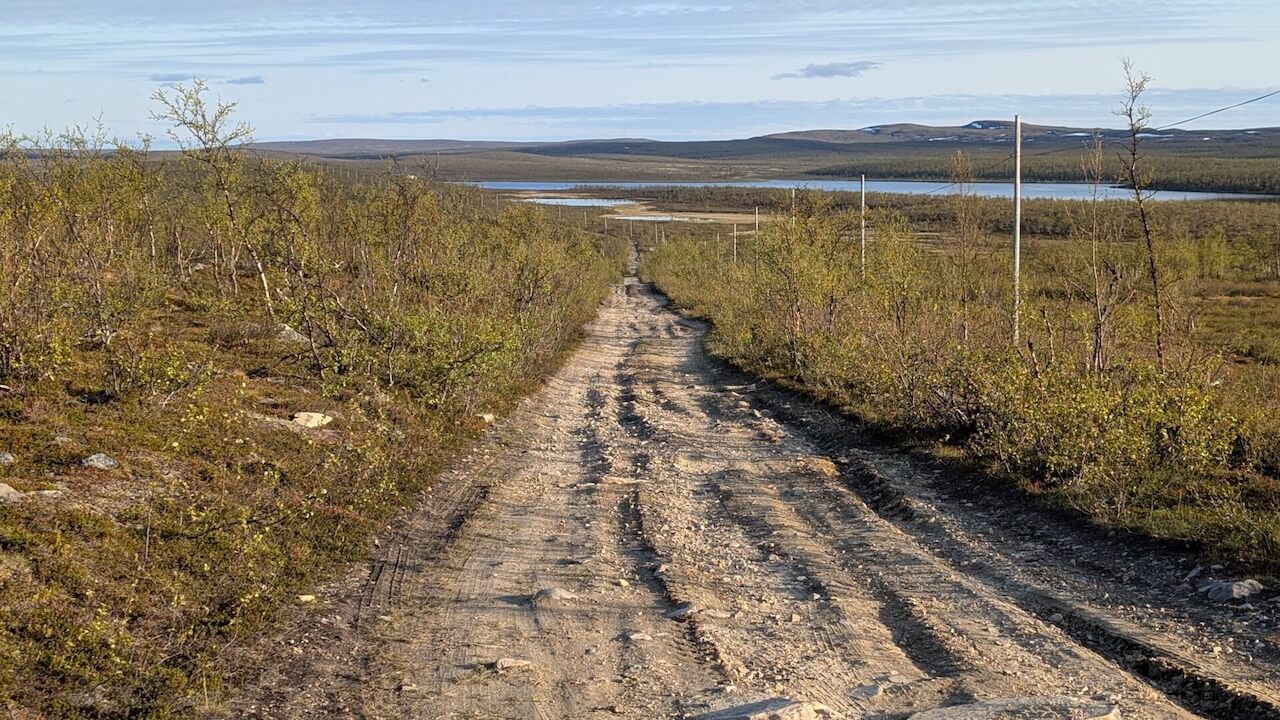
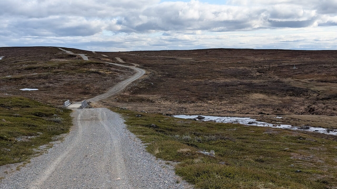
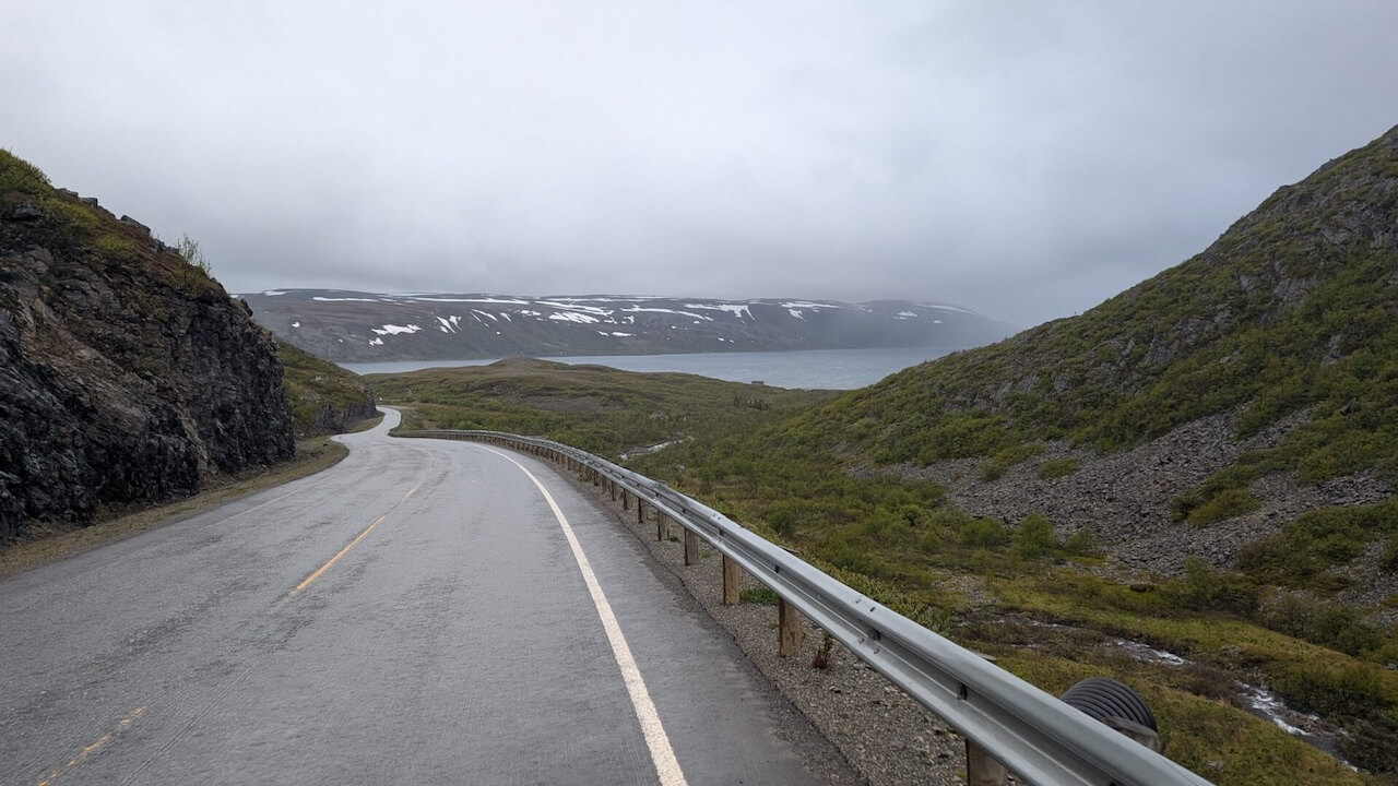
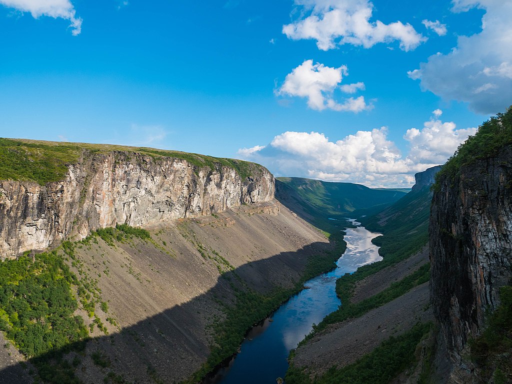
From there, an overnight ferry carries you to Havøysund. Then it’s back on the bike, along the remote and rugged coastal road south toward Skaidi and across the windswept Sennalandet plateau. After reaching Alta, the real adventure continues with the Arctic Post Road: 100 km of remote gravel winding past rivers, tundra, and even a detour to the towering Alta Canyon.
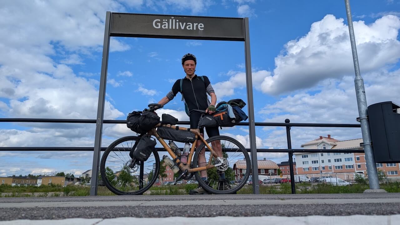
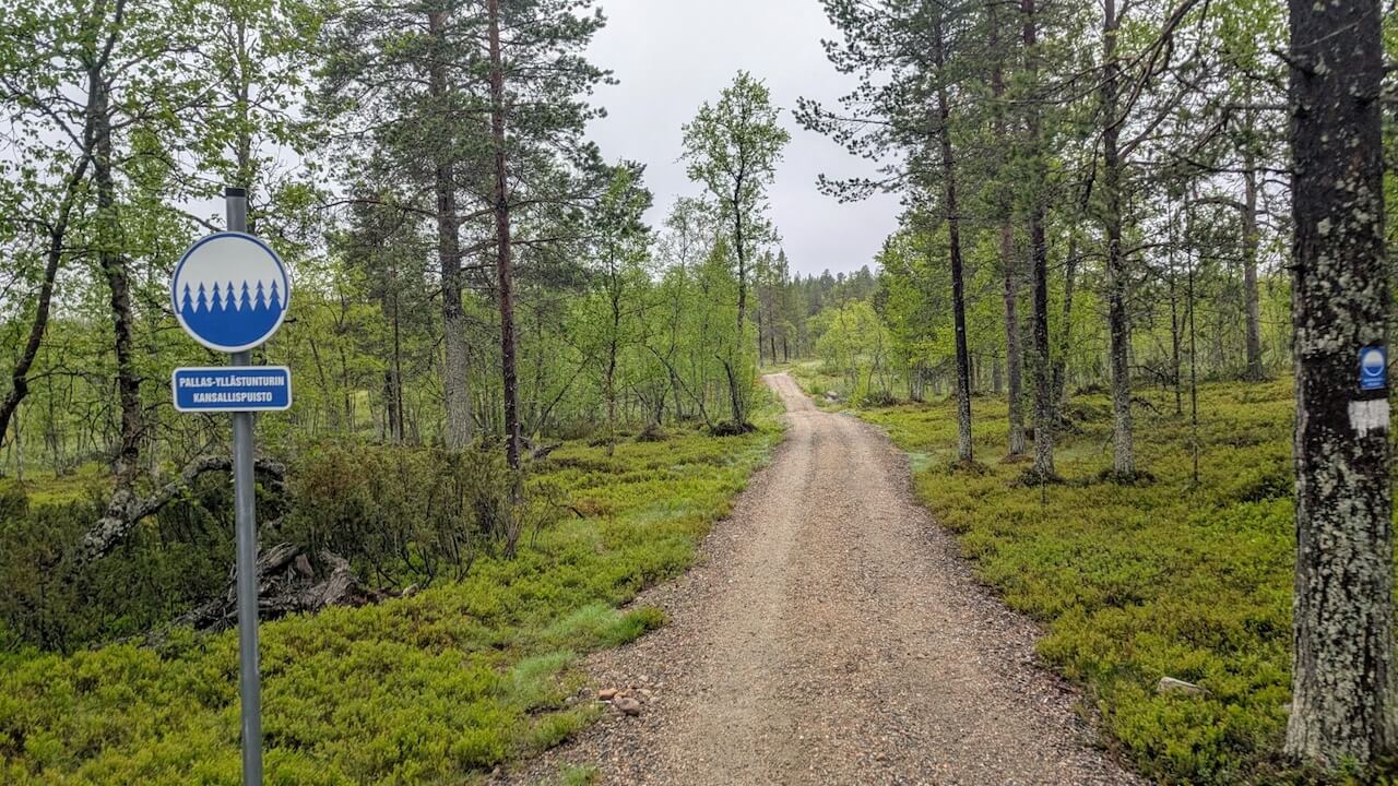
The final leg takes you to Kautokeino, one of the cultural centers of the Sámi people. From here, the route crosses back into Finland via the E45, where you can choose to explore Pallas-Yllästunturi National Park on foot or continue riding south through peaceful boreal forest. The journey ends at the train station in Gällivare, Sweden, or you can head to Kolari for a night train south to Helsinki.
This is not an entry-level ride, nor is it suited to heavy bike touring setups if you plan to go off-road. It demands physical stamina, mental flexibility, and a willingness to embrace the unexpected. Weather conditions can change quickly in the Arctic, and surfaces range from smooth tarmac to rough gravel, boggy tracks, and rocky hike-a-bike trails. But for those prepared, the rewards are exceptional.
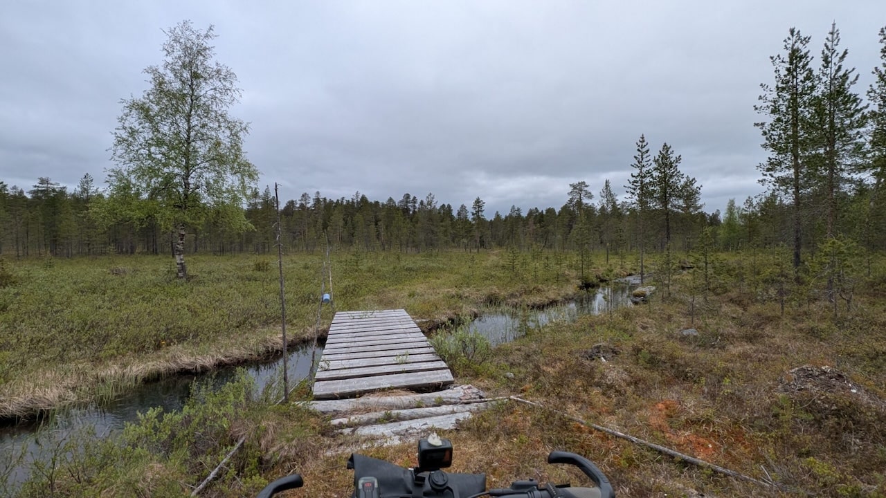
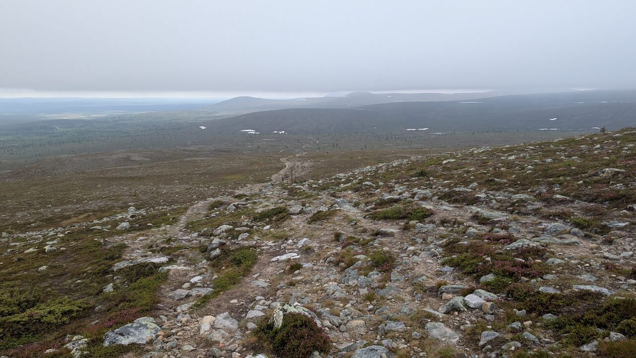
The toughest parts of the route is the hike-a-bike section near the tripoint between Finland, Norway, and Russia. This 15 km trail, once used by border guards, is no laughing matter. It shifts between short easy stretches and brutally difficult terrain: boulder fields, rotting duckboards, dense forest, fallen trees, steep climbs, and swamps. It’s wild, beautiful, and utterly exhausting.
Proper footwear is essential. Your shoes will get soaked, often within minutes, and without good wool socks and the ability to dry off or change, your feet will go numb. This is not terrain where you want to push through in discomfort. Be prepared, and pace yourself.
After reaching the tripoint, the trail continues for another 5 km on the Norwegian side. This section starts with a rocky section before giving way to more wet duckboards, eventually delivering you to a small parking area where a smooth gravel road begins again.
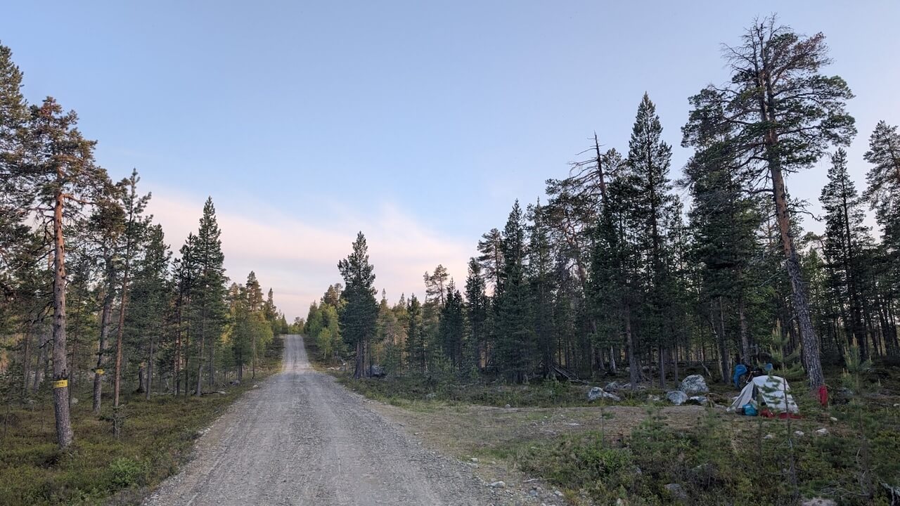
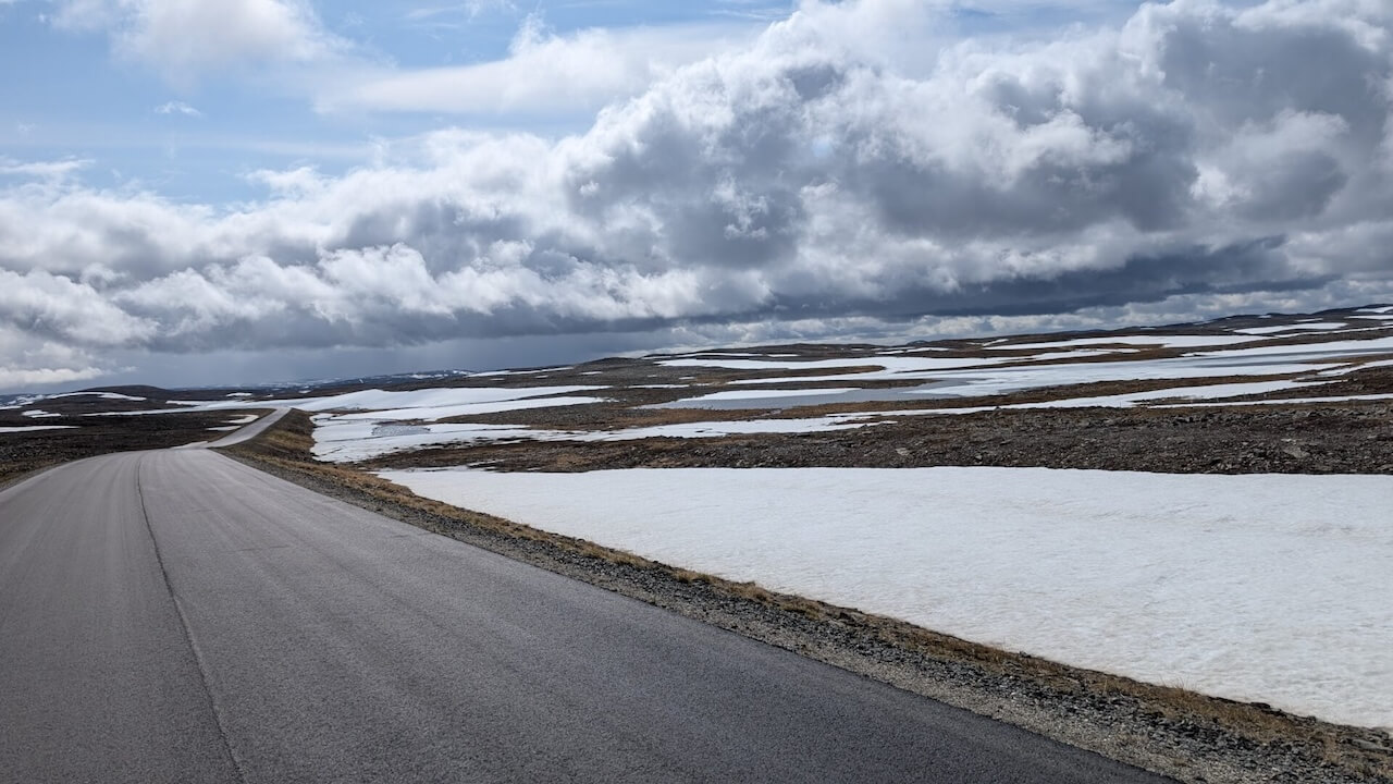
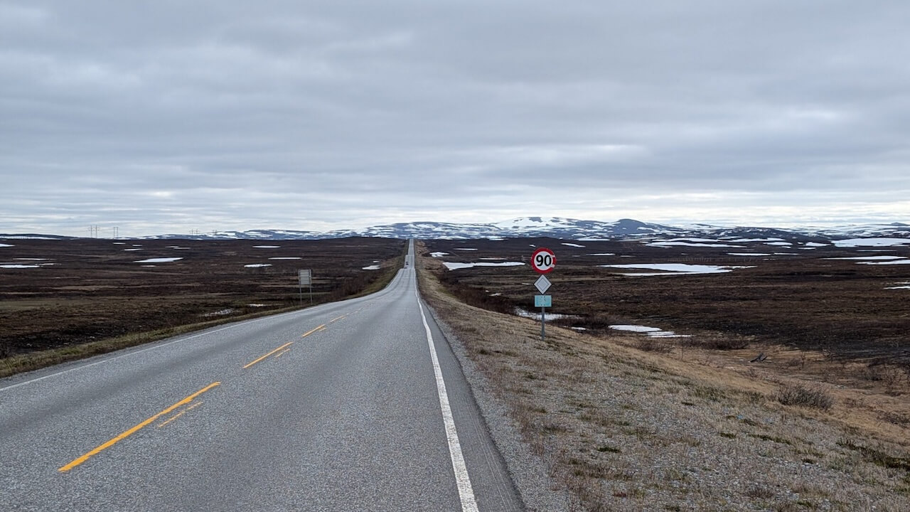
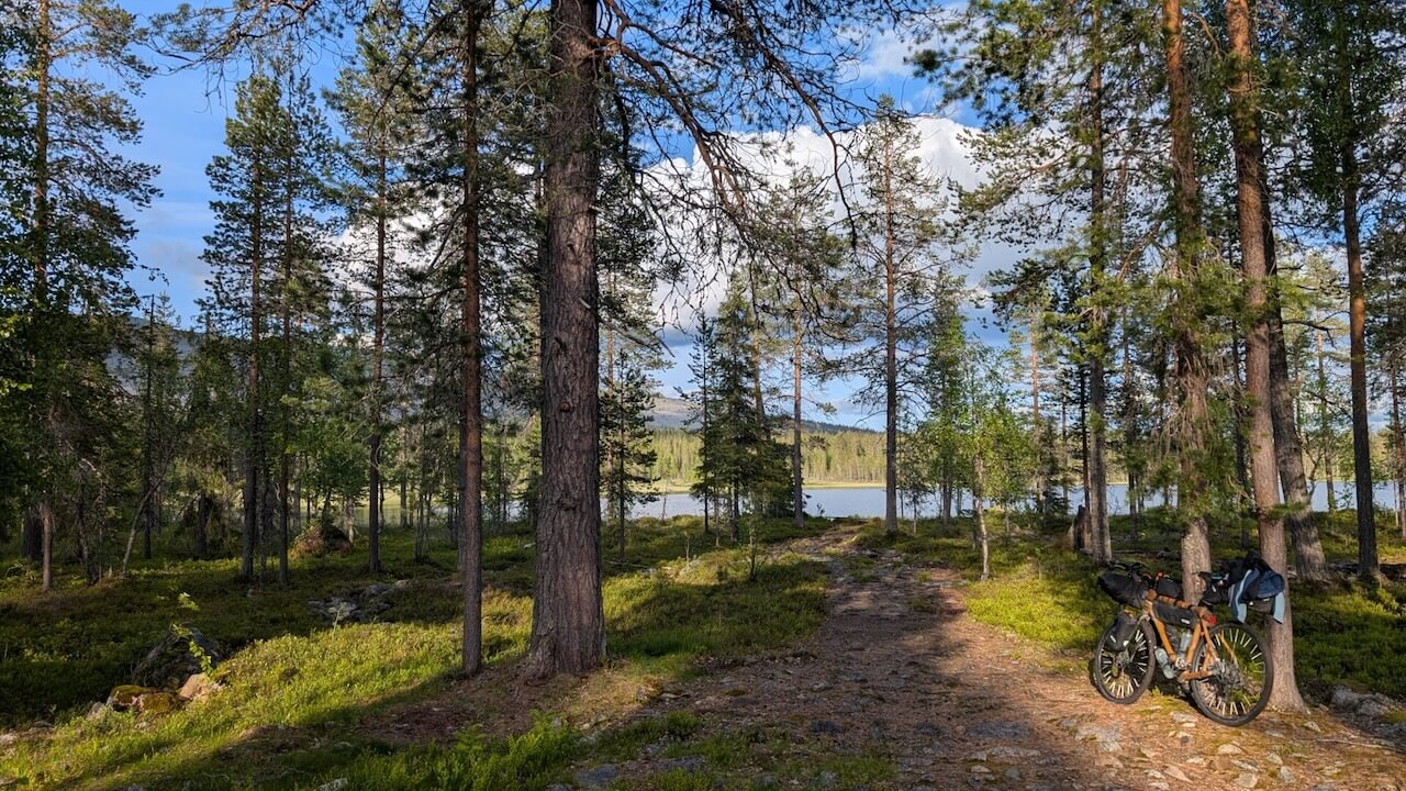
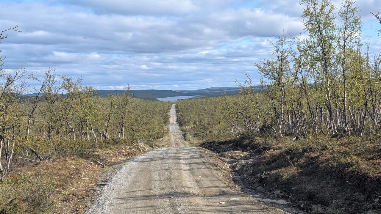
While most of the route follows quiet roads, around 30% is on gravel of varying quality. Snowmelt in early summer can flood sections of the track. And even on the paved stretches, wind and rain can turn a moderate ride into a grueling effort.
This is a route that rewards the resilient. If you’re willing to go beyond your comfort zone, you’ll experience a side of the north few ever see.
The Arctic Post Road is one of the true highlights of this journey, so we thought it deserved a closer look. Mehr entdecken
If you want to add Nordkapp to the route, here is a nice loop that can be done using the coastal boat.
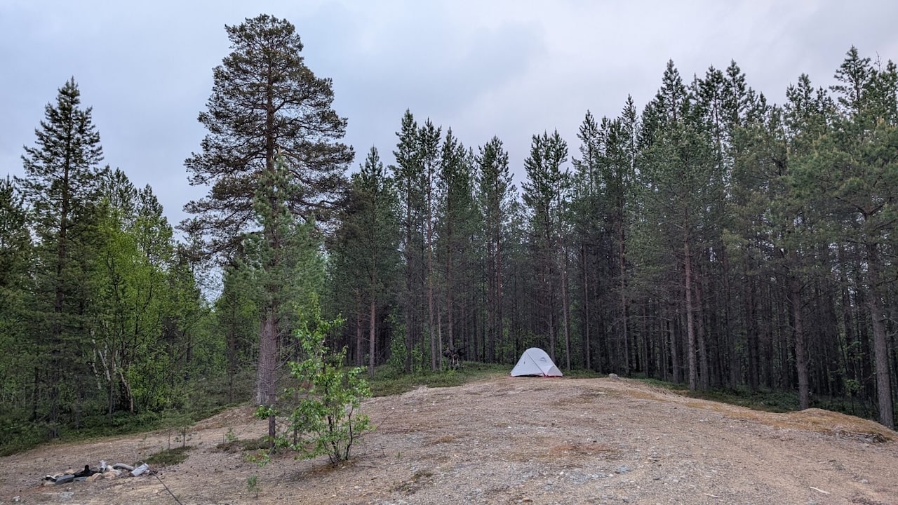
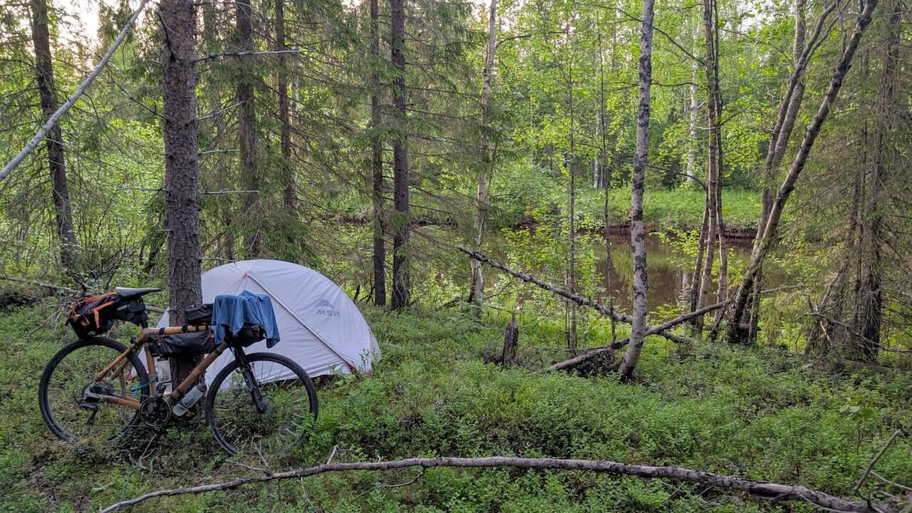
Wildes Zelten: Legal and easy under the right to roam in both Finland, Sweden and Norway
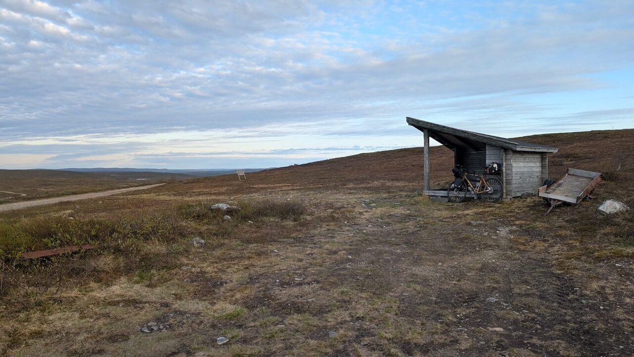
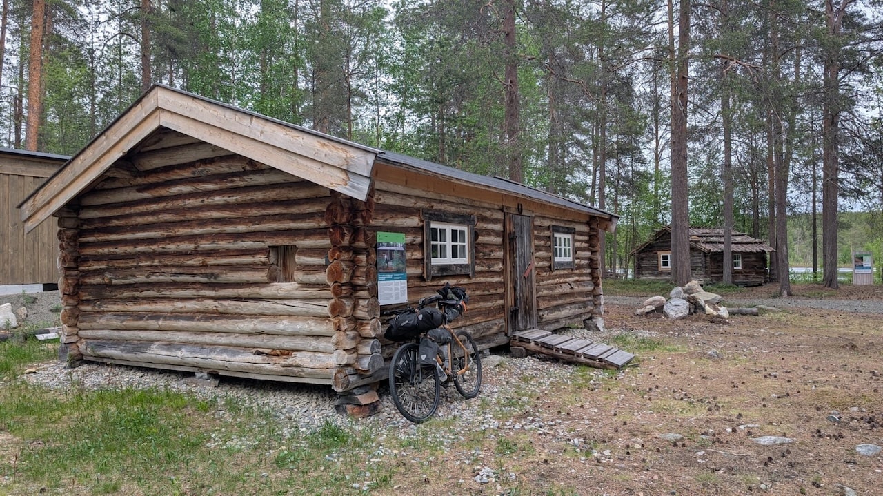
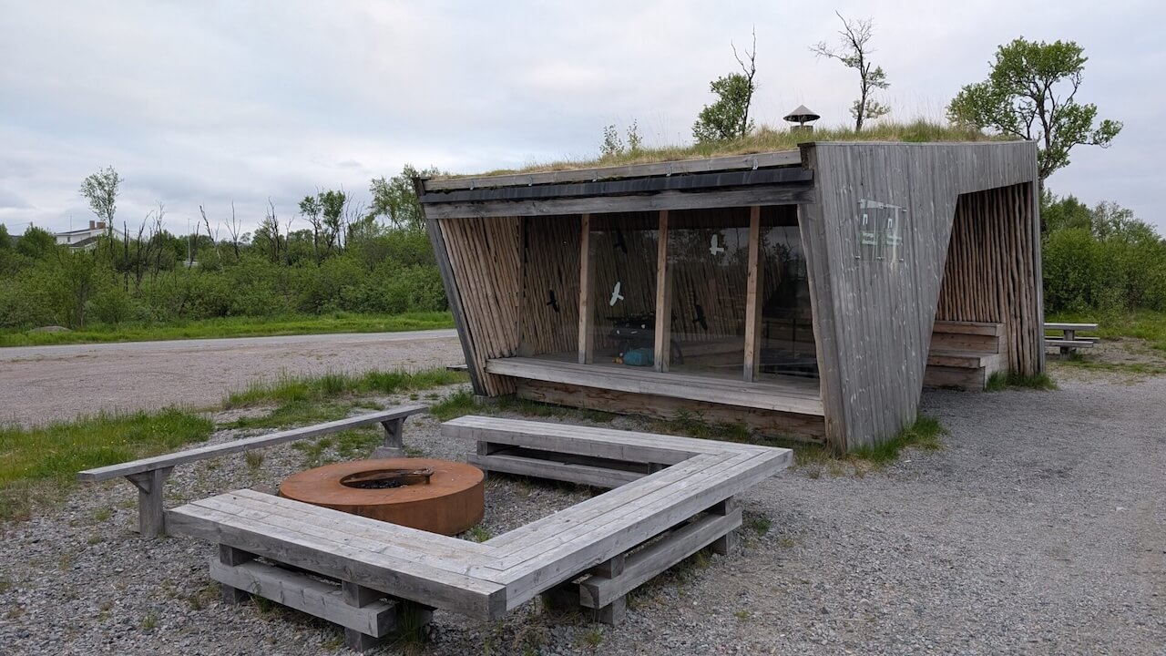
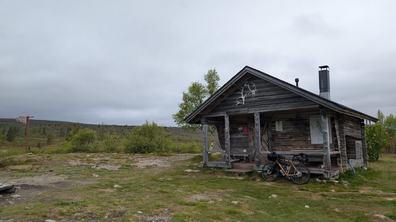
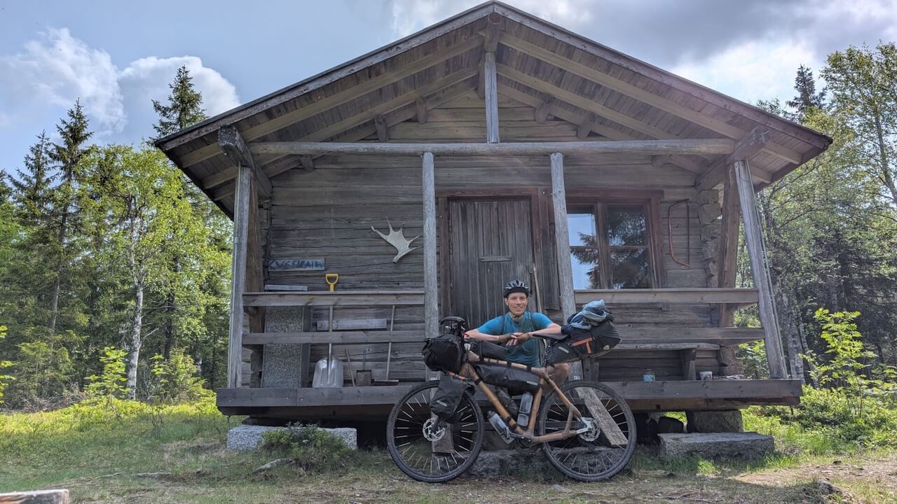
Facilities: Shelters, wilderness huts, and free cabins in Finnish national parks
• Outdoor Finland map
• Tulikartta shelter map
Campingplätze – use the Norcamp App to discover any open campsites along the route.
Hotels/Airbnbs: Available in towns but spaced far apart, plan ahead. Use the map/POIs and Google Maps to discover options.
This route is not recommended without a tent and camping gear.
Finland (VR)
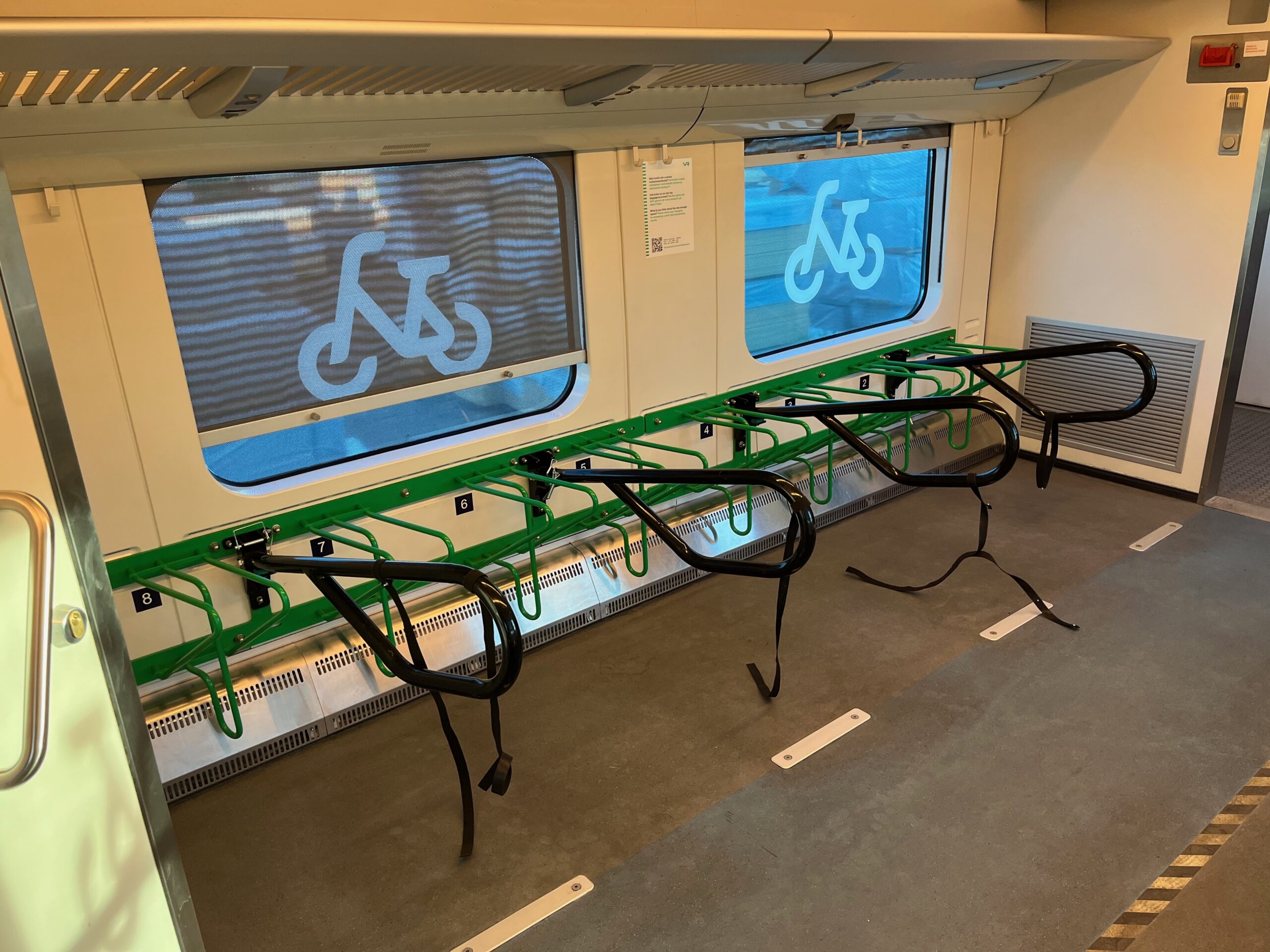
Mainline access: Kajaani, Kemijärvi, Rovaniemi, and Kolari all have train service.
Bikes: VR InterCity and night trains take bikes for a small fee (max €8). Must reserve a bike space when booking.
Booking: www.vr.fi/en
Best stations for route access:
Kajaani – ideal starting point for the route
Rovaniemi – alternative start or midway access
Kolari – useful end-point with access to Pallas-Yllästunturi NP
Sweden (Inlandsbanan & Snälltåget)
Inlandsbanan (summer tourist train): Östersund – Gällivare
Bikes allowed (limited spots, book early)
Snälltåget: Night train Östersund – Malmö – Berlin
Bike transport available in dedicated coach
Best station for the route end:
Gällivare – excellent end point with connection south
Norway (VY Trains)
Trains only reach as far north as Narvik & Bodø, which is far west of this route.
Finnland
Matkahuolto und OnniBus serve many rural areas.
Some long-distance buses take bikes if dismantled and packed.
Most regional buses offically don’t take bikes unless boxed or if there’s space.
Norwegen
Boreal, Snelandiaund Troms Fylkestrafikk operate local and long-distance buses in Finnmark and Troms.
Bikes are usually accepted, but not guaranteed. Depends on space and the driver’s discretion.
Buses between Kirkenes – Vadsø – Vardø oder Alta – Hammerfest exist and will travel the main roads.
Sweden
Länstrafiken Norrbotten handles regional buses.
Bikes are not allowed unless folded or boxed.
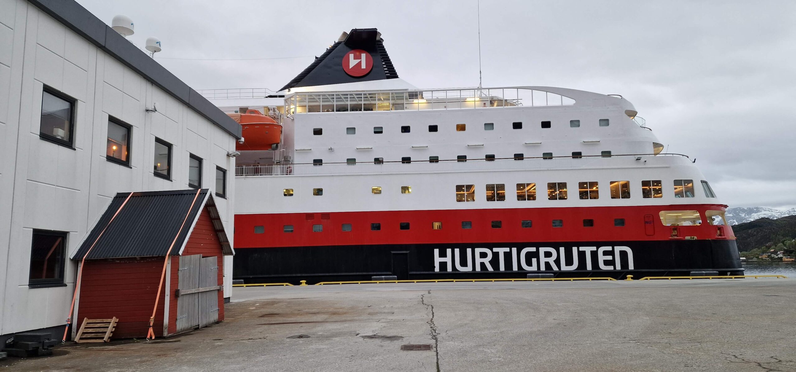
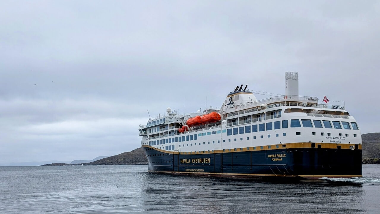
Havila & Hurtigruten Coastal Ferries
Daily coastal ferry between Bergen and Kirkenes with stops at: Mehamn, Kjøllefjord, Honningsvåg, Hammerfest, Tromsø, etc.
Bikes are allowed, but reserve in advance
Practical for skipping sections or linking to Nordkapp or Havøysund
Smaller ferries
Some local ferries (e.g. Neiden area, Varangerfjord) exist but have limited summer schedules. Always check locally.
Bikes are often allowed, but check capacity in advance
Practical Airports Along or Near the Route
Finnland
Kajaani (KAJ) – small regional airport, limited flights (often via Helsinki)
Rovaniemi (RVN) – major hub with flights to Helsinki, seasonal Europe links
Ivalo (IVL) – good mid-route option, flights to Helsinki
Kittilä (KTT) – near Ylläs/Pallas NP, flights to Helsinki
Norwegen
Kirkenes (KKN) – full-service Arctic airport, good for bailout or start
Alta (ALF) – central Finnmark hub, regular domestic flights
Mehamn (MEH) – small regional, limited flights
Lakselv (LKL) – another regional option near Karasjok
Sweden
Gällivare (GEV) – small regional airport, limited to Stockholm flights
Luleå (LLA) – bigger airport, more connections, ~250 km southeast
Flying with a Bike
All major carriers (Finnair, SAS, Norwegian) allow bikes with advance reservation, but rules vary.
Must be boxed or bagged. Check weight/size limits.
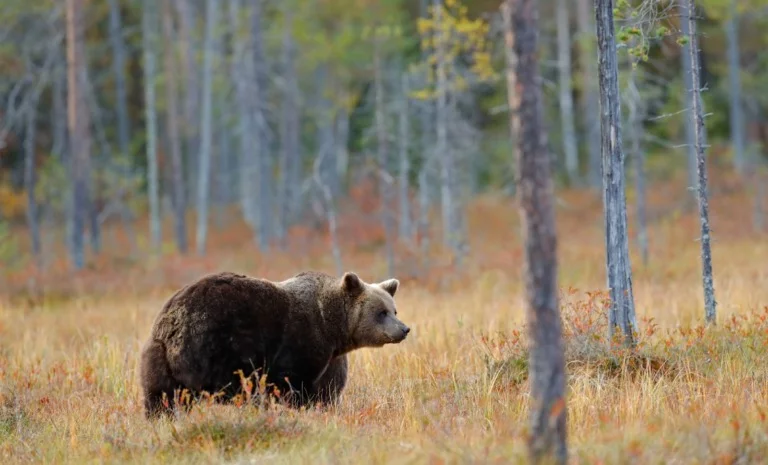
Brown Bears (Finland, Sweden, occasional in Norway)
Very rare to see, especially while cycling—they avoid human contact.
Most active: dusk and dawn, especially in forested areas in Finland and Sweden.
If you see one: stop, stay calm, back away slowly—never run.
Avoid surprising them: make some noise when off the bike in dense forest or during hike-a-bike sections.
Moose (All countries)
Most dangerous large animal statistically, especially during the rut (autumn) or if startled.
Can be aggressive if cornered, especially cows with calves.
Keep your distance and don’t try to pass too close.
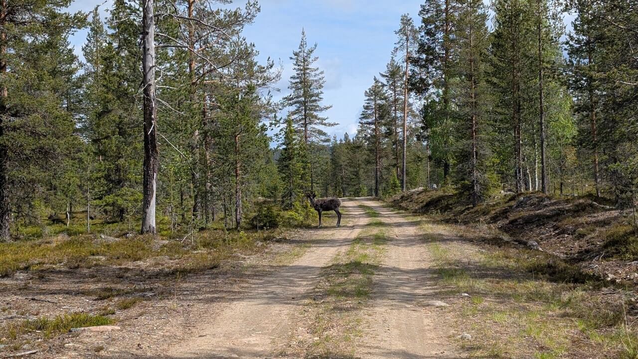
Reindeer (All countries)
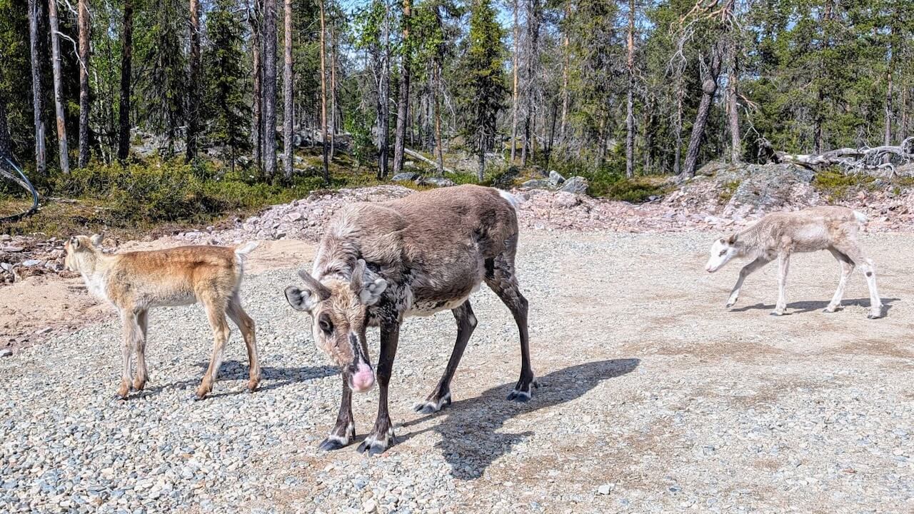
Not dangerous.
Common on roads in northern Norway and Finland—more of a traffic hazard.
They move slowly and unpredictably. Slow down and give them space.
Insect Hazards
Tipps
• Bring a mosquito face net and plenty of insect repellent
• Wear long clothing or use arm/leg warmers. They can bite through some clothing, especially wool.
• Coastal areas are mostly mosquito-free due to wind
• As one Finnish cyclist said: “Mosquitoes aren’t a problem, just don’t stop.”

General Tips
Avoid leaving food waste near your tent or rest spots, this attracts wildlife.
Make some noise in a dense forest when off-bike.
Never feed animals.
Avoid cycling too close to moose or reindeer, especially mothers with calves.
Auf dieser Strecke gibt es keine
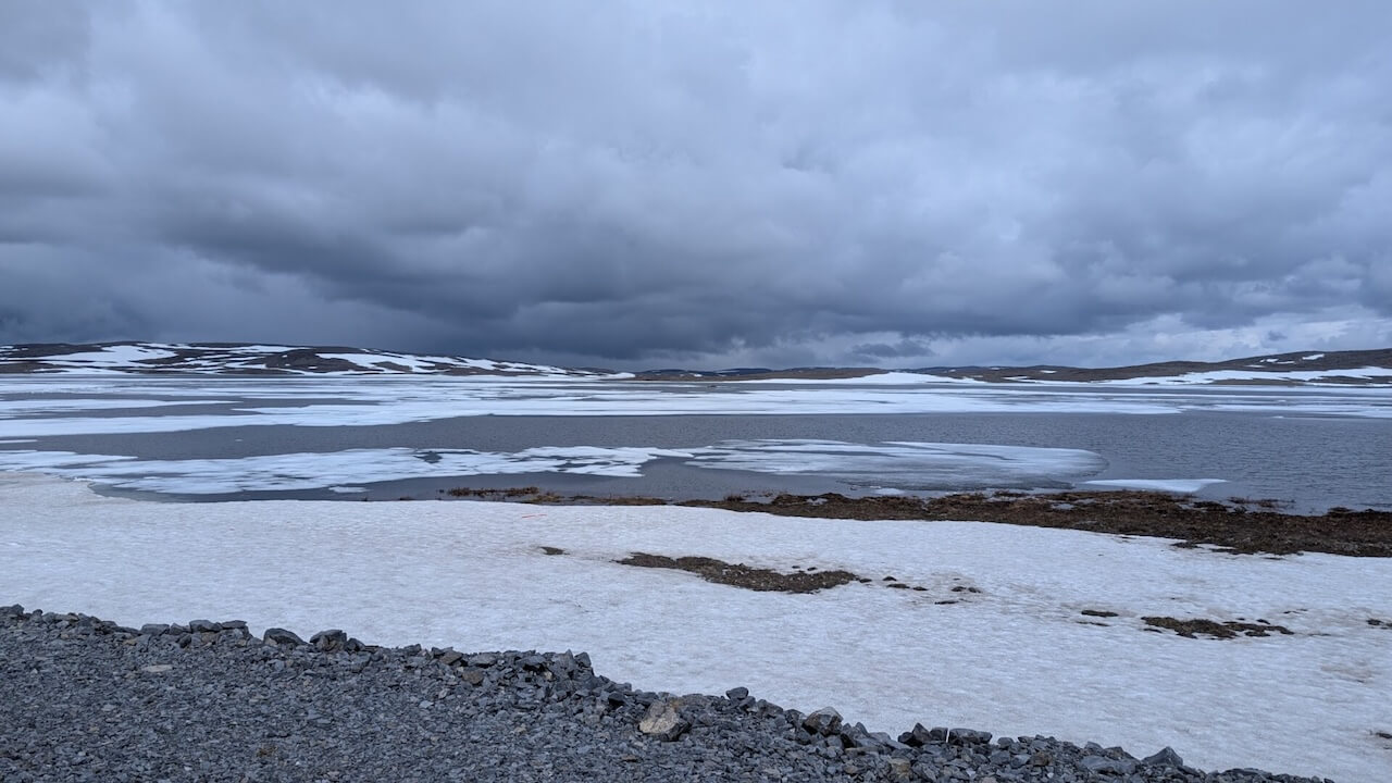
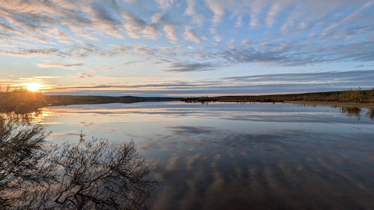
This is a long ride covering a large area. Expect big differences in regions for climate and weather. Riding through Arctic Scandinavia means dealing with unpredictable, often extreme weather conditions, even in summer. While it can be stunningly beautiful, the environment is also wild, raw, and unforgiving if you’re not prepared. Here’s what to know:
Rapid changes: Sunshine can turn to freezing rain or hail in a matter of minutes, especially in exposed areas like the Nordkyn Peninsula or the mountain plateaus between Ifjord and Mehamn.
Mountain passes (like Sennalandet, Ifjordfjellet, and Laggu): prone to sudden temperature drops, wind, fog, and even snow flurries, even in June or early July.
