Why Telemark Might Be Norway’s Best-Kept Cycling Secret
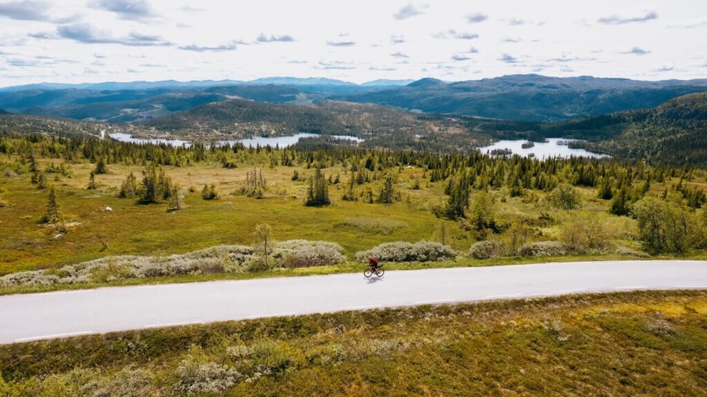
If I had to choose one region in Norway that offers the perfect blend of scenery, solitude, and soul, it would be Telemark. It’s long


Cycle Norway got in touch with Jon the creator and owner of www.cycletourer.co.uk. Several years ago Jon single-handedly created the best cycling resource for Norway – The Tunnel Map! Today it receives over 30,000 views each year. Visit Norway recommend it on their website and I believe it has probably saved many problems (& perhaps lives) for people cycling in Norway. Here is the story of how this all began…
Well, it all started back in 2002 on our first tour in Norway we were cycling from Bergan to Voss and fortunately met some very kind Norwegian cyclist in Bergen who we got talking to. He told us that we couldn’t cycle along parts of the E16 due to some of the tunnels being closed to cyclists (we had no idea) and that we were best to catch a train from Trengereid to Dale to avoid them. From Dale our route to Voss was via the very scenic Eksingedalen route which involved going along the 569. It had several tunnels along its length most of which were short and easy but there was one which was a long narrow single-lane tunnel with twists in it and no lights. It was absolutely pitch-black inside and it was so dark even with reasonable lights and a head torch I got quite disorientated, especially after being blinded by the lights of the oncoming traffic and this coupled with the traffic noise which seems to be magnified 10 times, made for a quite a scary experience and certainly not for the inexperienced rider!

When I got back from that trip, I did some googling and realised that there wasn’t much information on the Norwegian tunnels. If it hadn’t been for that helpful cyclist in Bergen we wouldn’t have known about the banned tunnels. I did find out that there had been a paper tunnel map published by the road authority showing the banned tunnels but they had stopped printing it. I thought wouldn’t it be brilliant if there was a cyclist’s online map showing all the tunnels in Norway and that it would show which ones were banned, which ones were open, and which ones needed caution to ride through like that scary one on the 569 (it has since been demolished, as the road needed to be widened). Through our website we had been in contact with a lovely Australian couple, Brian and Karen who had also ridden in Norway and had had similar experiences with Norwegian tunnels. Brian had already put a list of the banned tunnels from Statens Vegvesen on his website. I put the idea to Brian for an online Interactive tunnel map and he agreed that it was a brilliant idea and that I could use the list of banned tunnels from his site to get it started. Fortunately, Google had just started its Google Maps API and I decided to give it a go.

Well, it took several hours working out how to establish a MySQL database and many more to get a Google maps API mashup map working from that database. I initially had only the banned tunnels on the map but I really wanted to get all the Norwegian tunnels on the map. Therefore, many of my evenings were spent scouring Google maps looking for all the open tunnels and entering them onto the database. What I really wanted for the map was to distinguish which were closed, which were open, and which needed caution hence the introduction of a traffic light system of red, yellow, green and white tunnels on the map.
I realised that there was no way I could cycle all of these tunnels and give them a comment so the idea came to me to make the tunnel map a more collaborative map and ask cyclists to make comments on the tunnels that they had passed through and to also list alternative routes. A sort of OpenTunnelMap like OpenStreetMap, a tunnel map made for cyclists by cyclists. I soon had some online forms sorted and links to them on the map. I put out posts on the popular touring cyclist forums for contributions and was amazed how many cyclists got back to me and added comments.

Over the years the map has evolved and hopefully has got better. The comment forms were initially a little long-winded and after a suggestion from one contributor, I gave each tunnel a unique ID number which enabled me to simplify the comments form which made it much easier for the cyclist to make a comment and for me easier to process that comment and update the database. Another suggestion from a contributor was adding a designation to the red closed tunnels so that you could easily see at a glance when route planning which banned tunnels have an alternative route and what type that alternative might be.
And that in a nutshell is how the Norwegian tunnel map has grown into what it is today. Judging by the very complimentary feedback I have received it has proved to be a very useful resource for cyclists to navigate and plan their routes in Norway. There are now currently 1232 tunnels on the database and 94% of those tunnels now have a tunnel comment from the 192 contributors so far.

The tunnel map is an ongoing project as the Norwegian road authorities are constantly opening new tunnels, upgrading the older tunnels and closing tunnels, so your help as a cyclist is needed to help keep the map up to date. Therefore, if you do a tour in Norway and cycle through a tunnel and its condition has changed or you come across a tunnel, not on the tunnel map then please consider helping other cyclists by making your own contribution to the map. It certainly would be very much appreciated by all who tour Norway.
Jon Houseago
www.cycletourer.co.uk
If I had to choose one region in Norway that offers the perfect blend of scenery, solitude, and soul, it would be Telemark. It’s long
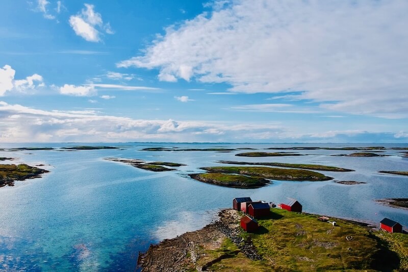
There’s a point, somewhere off the Helgeland coast, where the mainland disappears behind you and the islands begin. Not the tourist-trodden kind with waffle huts
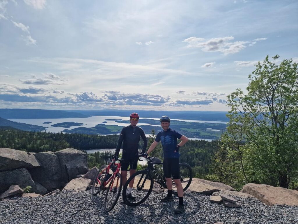
Climb Oslo’s Highest Road: The Hidden Beast of Gyrihaugen If you’re cycling through the Oslo region and think the terrain is all rolling forest paths