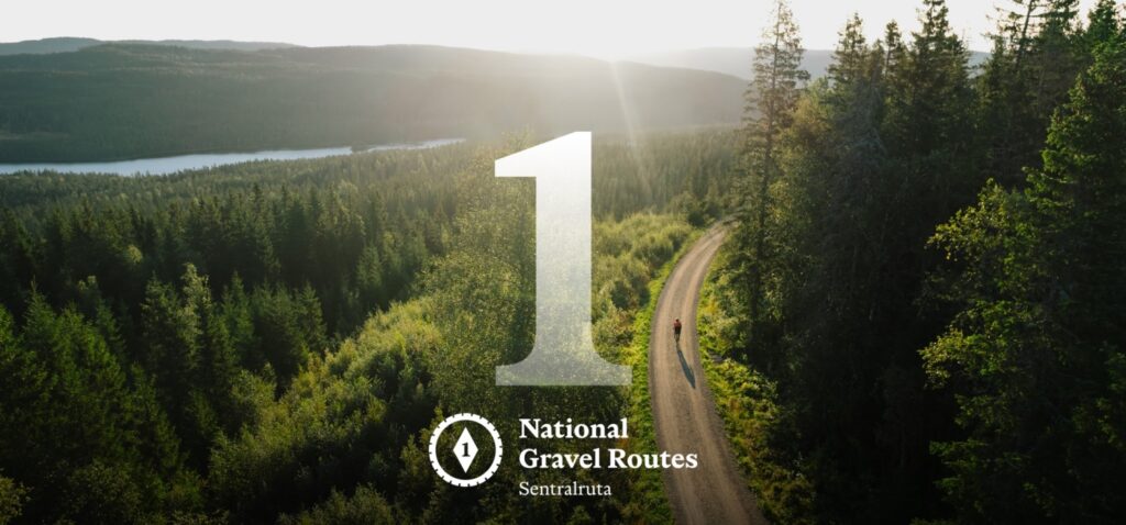
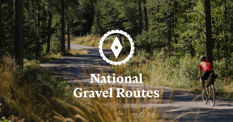
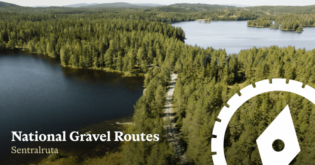
The Central Route
Route 1 is the backbone of the National Gravel Routes network. It is the main north–south line, the reference route that every other route connects to. Five of the eight routes begin in Oslo, and Route 1 is the line that carries you away from the city and deep into the interior.
The route runs from Oslo to Trondheim, following some of the oldest movement corridors in Norway. It begins by slipping quietly into Nordmarka, the vast forest that has long formed the capital’s northern edge. On the approach to Trondheim, it ends in a similar way, passing through Bymarka before reaching the city. These forest belts act as thresholds, spaces that ease the transition between settlement and wilderness, and they have played that role for centuries.
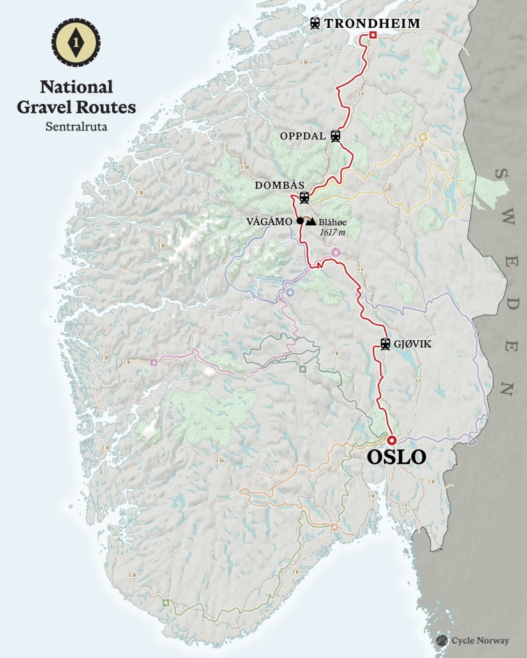
Leaving Oslo vast great forest of Nordmarka the route moves north toward the region around Gjøvik, multiple layers of history emerge. During the Second World War, this area was used by the Norwegian resistance, with British forces carrying out supply drops into the surrounding forests and hills. The remoteness of the terrain provided cover, and the same gravel roads and access tracks you ride today once supported clandestine movement and survival.
This corridor also reaches much further back in time. In the early 11th century, King Olav II Haraldsson, ater canonised as St. Olav, travelled north through this region, a journey that ended with his death at the Battle of Stiklestad in 1030. In the centuries that followed, his route became Norway’s most important pilgrimage, leading to Nidaros Cathedral in Trondheim, built over his burial site. Today, the Pilgrim’s Route, known as Pilegrimsleden, remains one of Norway’s most significant long-distance hiking networks.
Much of the modern pilgrimage route now runs close to the E6, but this gravel route deliberately steps away from the valley floor. Instead, it climbs into highlands and forested plateaus, following old access roads built for seterdrift, seasonal farming that moved livestock to summer pastures for centuries. These roads predate cars, tourism, and modern infrastructure. They exist because people once needed to live and work here.
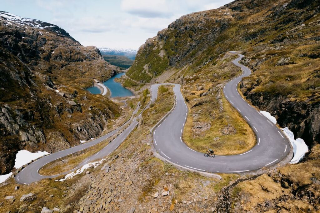
Riding Route 1 means moving through overlapping layers of Norwegian history. Ancient pilgrimage paths intersect with 19th-century farming tracks, Second World War remnants, and deep Nordic forests that still feel largely untouched. The terrain shifts constantly: rolling forest roads, open grazing land, quiet high ground, and long stretches where the modern world feels distant.
Route 1 is defined by continuity rather than speed. It speaks both to Norwegians seeking to experience their own country in a different way, and to visitors wanting to immerse themselves in a land and culture that few tourists ever truly encounter. Beginning and ending in the quiet charm of Nordic forests, it moves through landscapes shaped by farming, war, and survival, following the same quiet logic that has guided movement through Norway’s interior for generations.
We hope this route becomes a cornerstone of slow, immersive travel, as more people begin to reject the speed, automation, and disconnection of the modern world. Oslo to Trondheim is the antidote. By the end, you should feel alive again, mentally restored, deeply satisfied, and grounded by a lasting connection to land, place, and distance.

GPX Files and detailed information about this route are currently being built and will be released in the coming weeks.
– Join our RidewithGPS Page to keep updated with new GPX routes: https://ridewithgps.com/partners/cyclenorway