


125km
Distance
1792m
Elev. Gain
1-2
Days
80%
Unpaved
7/10
Difficulty
40-45mm
Ideal Types
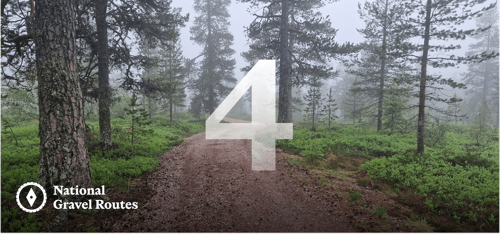
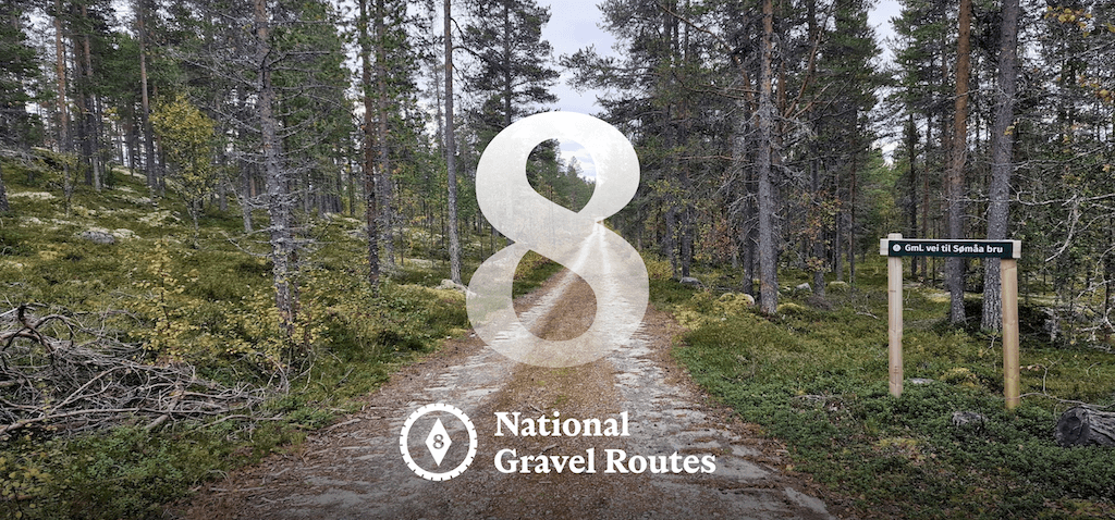
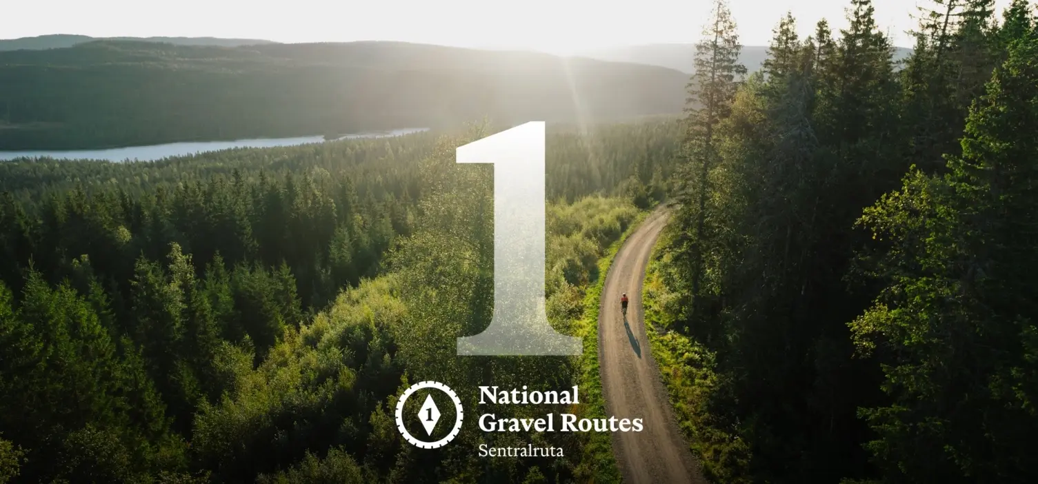
National Gravel Routes 4 & 8 Connector
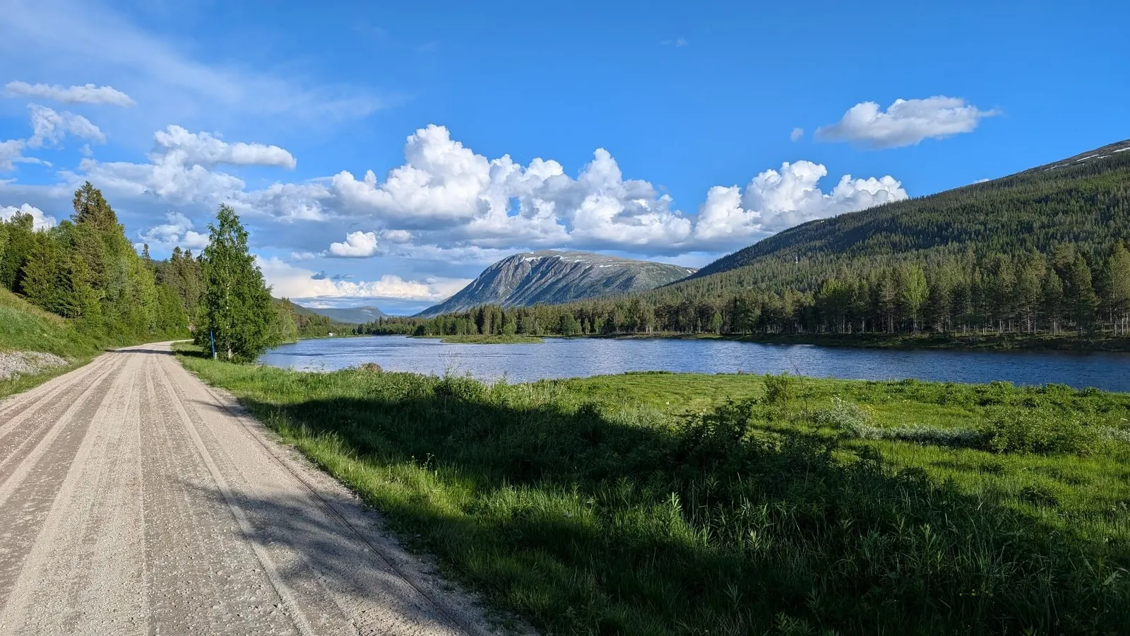
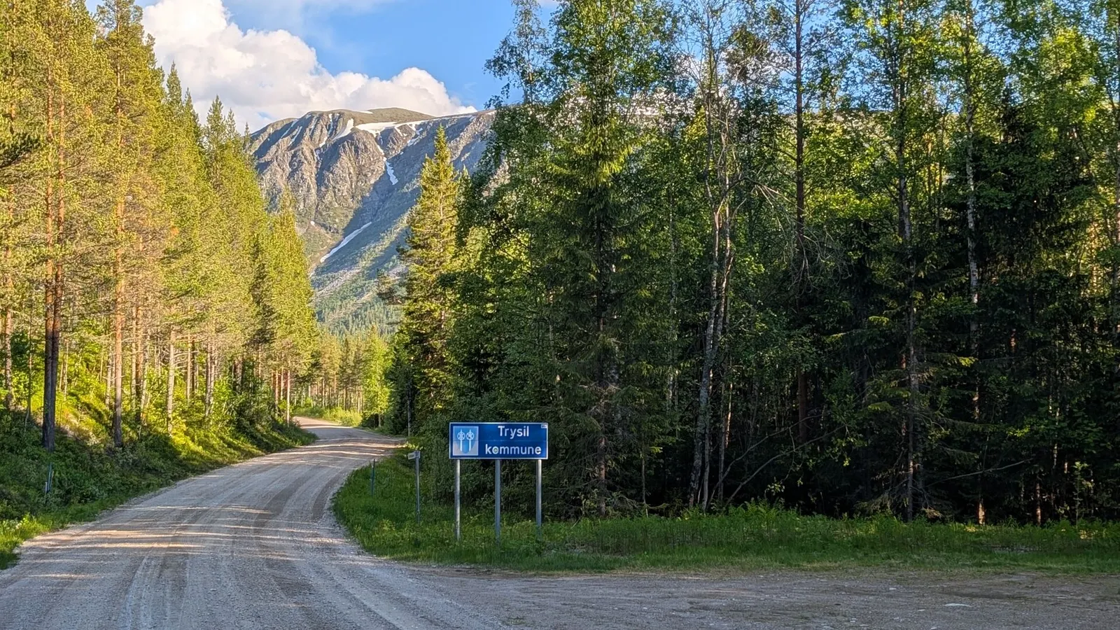
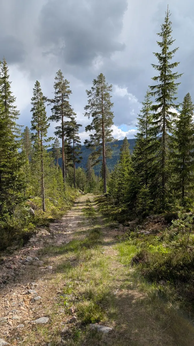
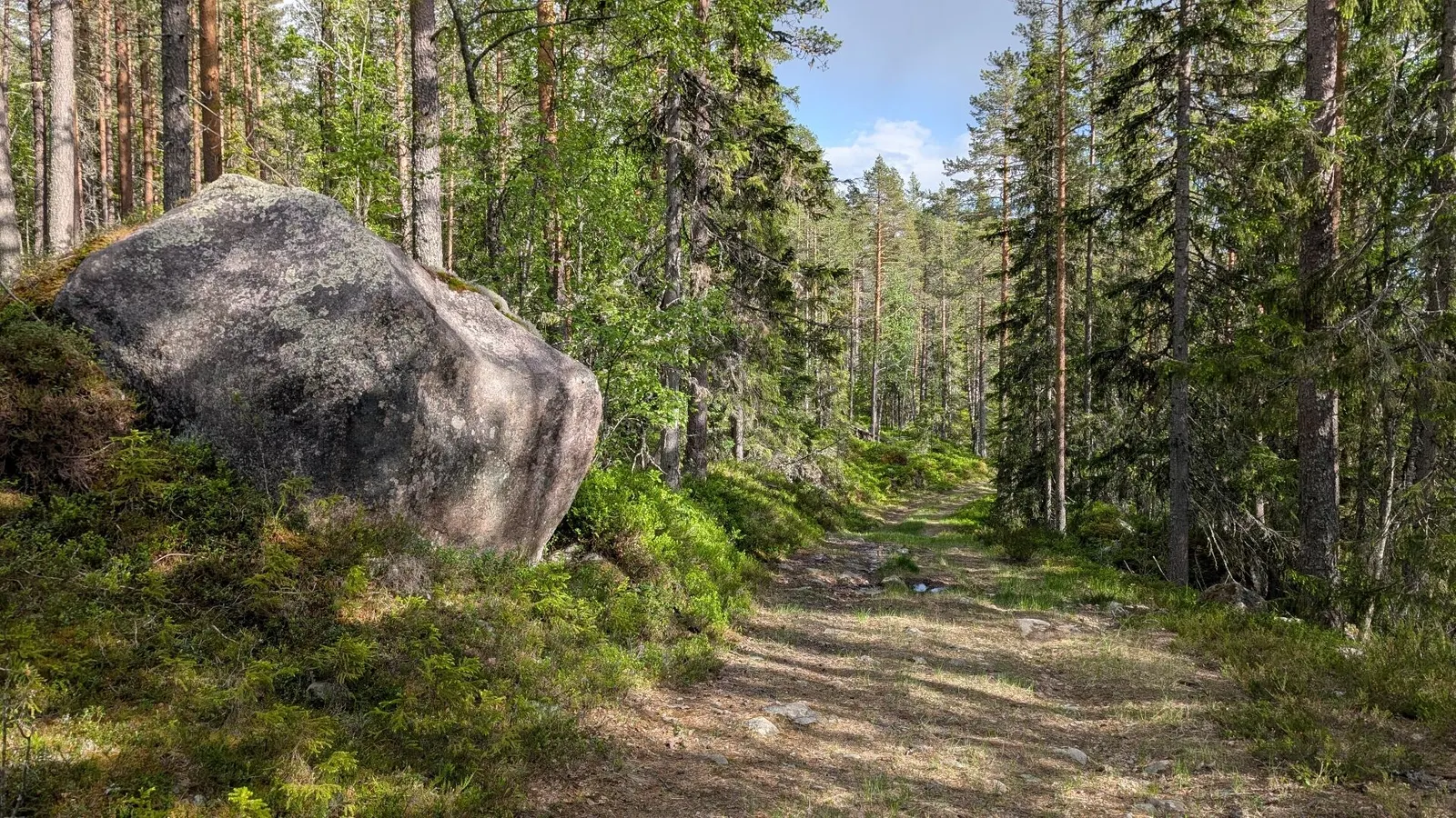
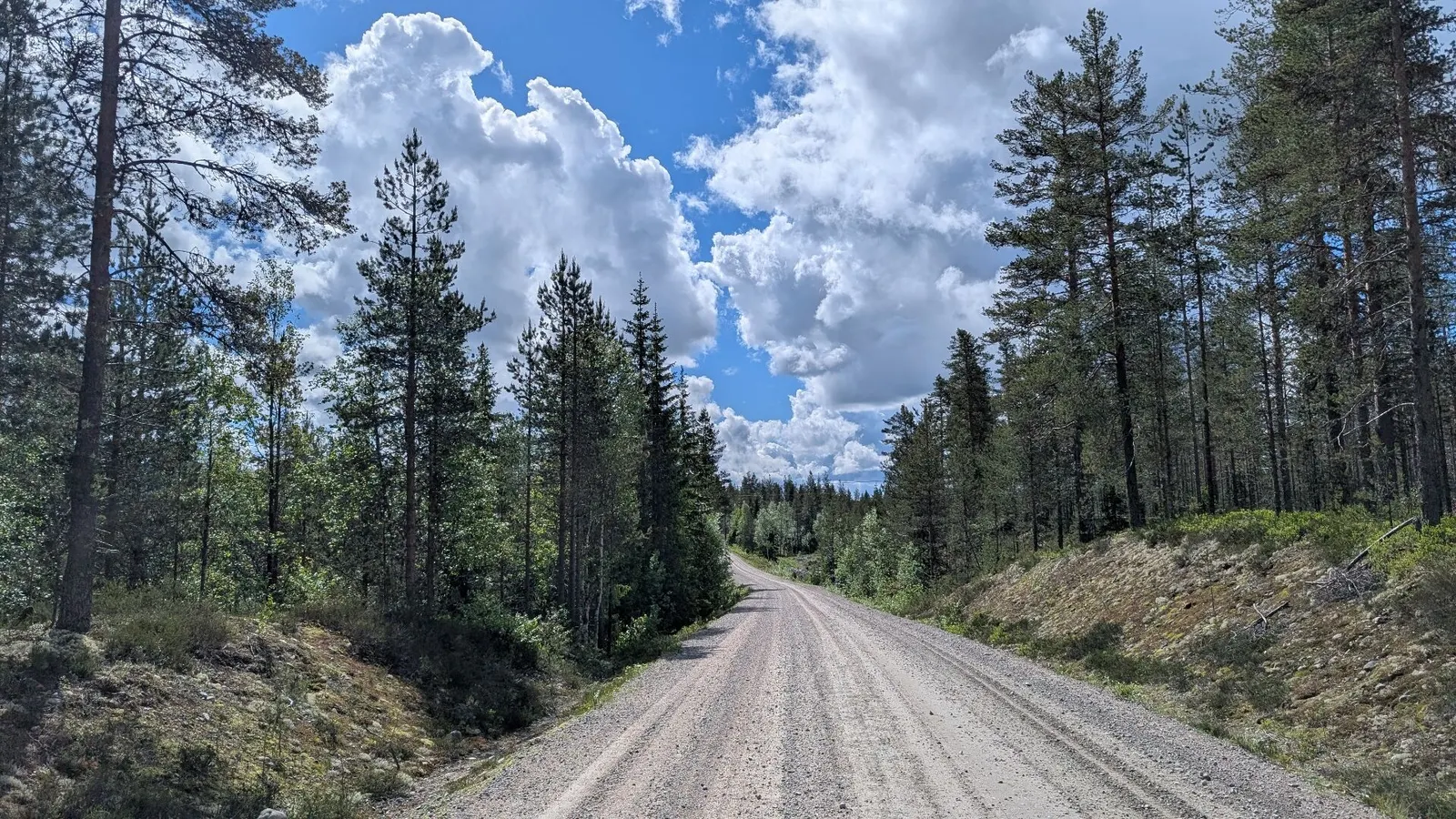
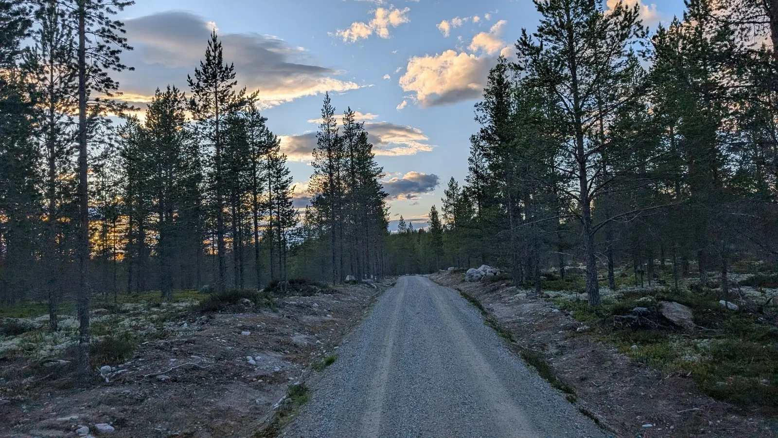
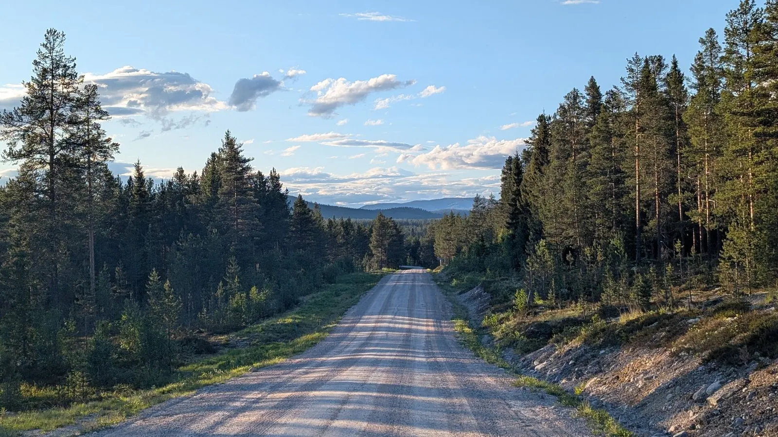
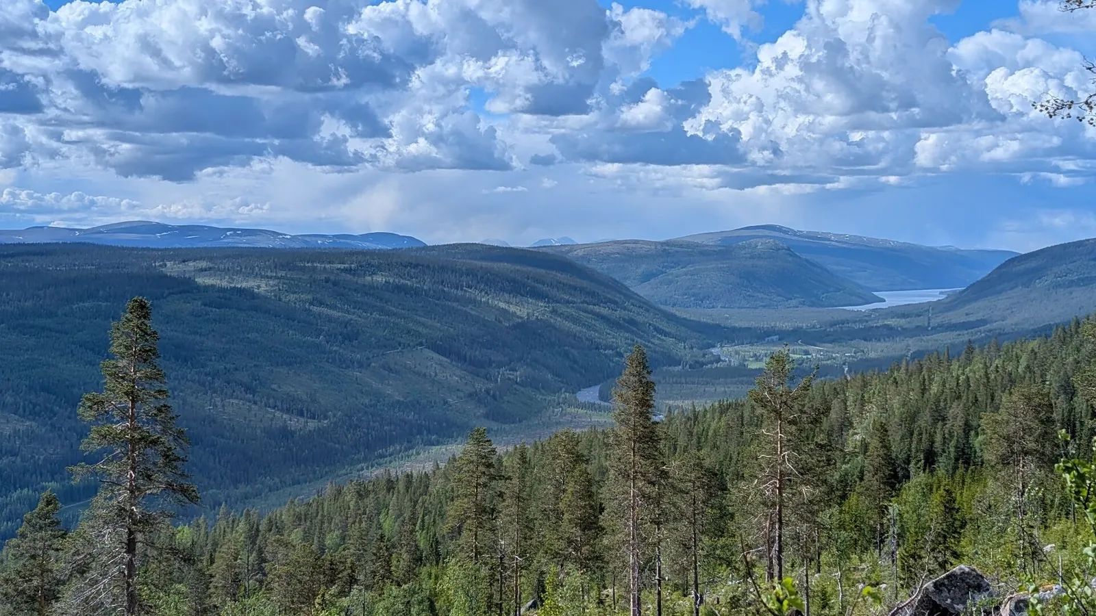
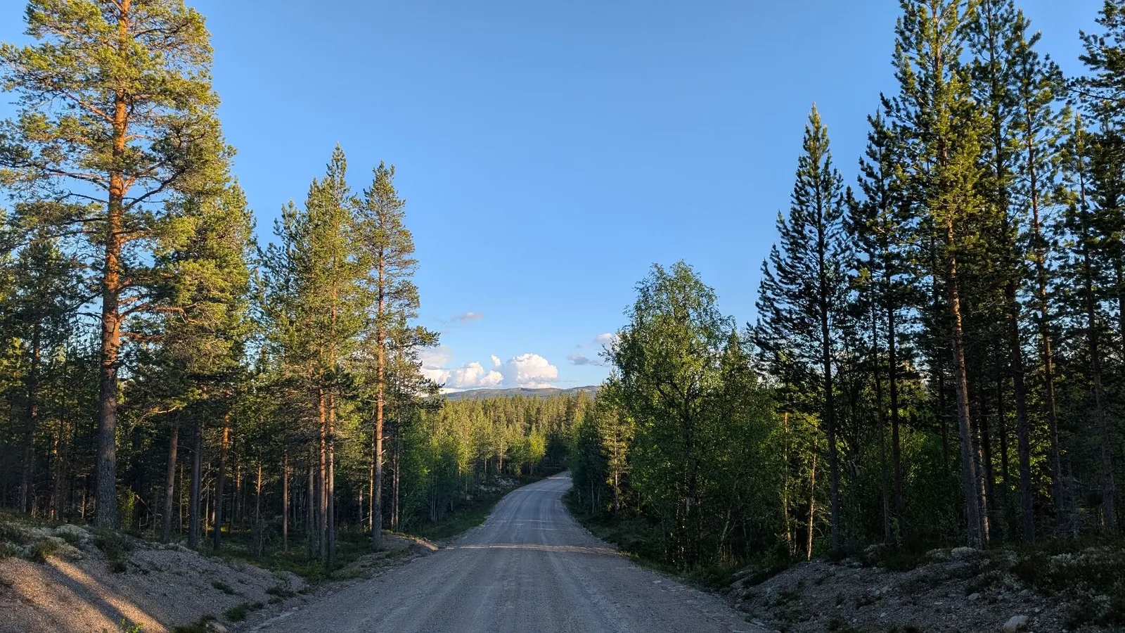
The connector between National Gravel Routes 4 and 8 passes through one of the least visited corners of eastern Norway. Skirting the vast forests and rolling hills around Trysil, the route offers a very different experience from the high mountain landscapes found elsewhere in the country. Here, the scenery is defined by endless woodland, quiet rivers, remote gravel roads and a feeling of genuine isolation.
Despite being close to Norway’s largest ski resort, much of the route sees very little traffic. Once away from Trysil itself, it is not uncommon to ride for long periods without seeing another cyclist or even a car. Moose are a common sight in the forests, while birds of prey circle above the valleys and wetlands.
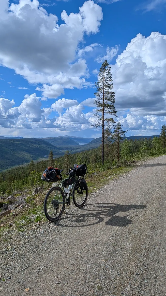
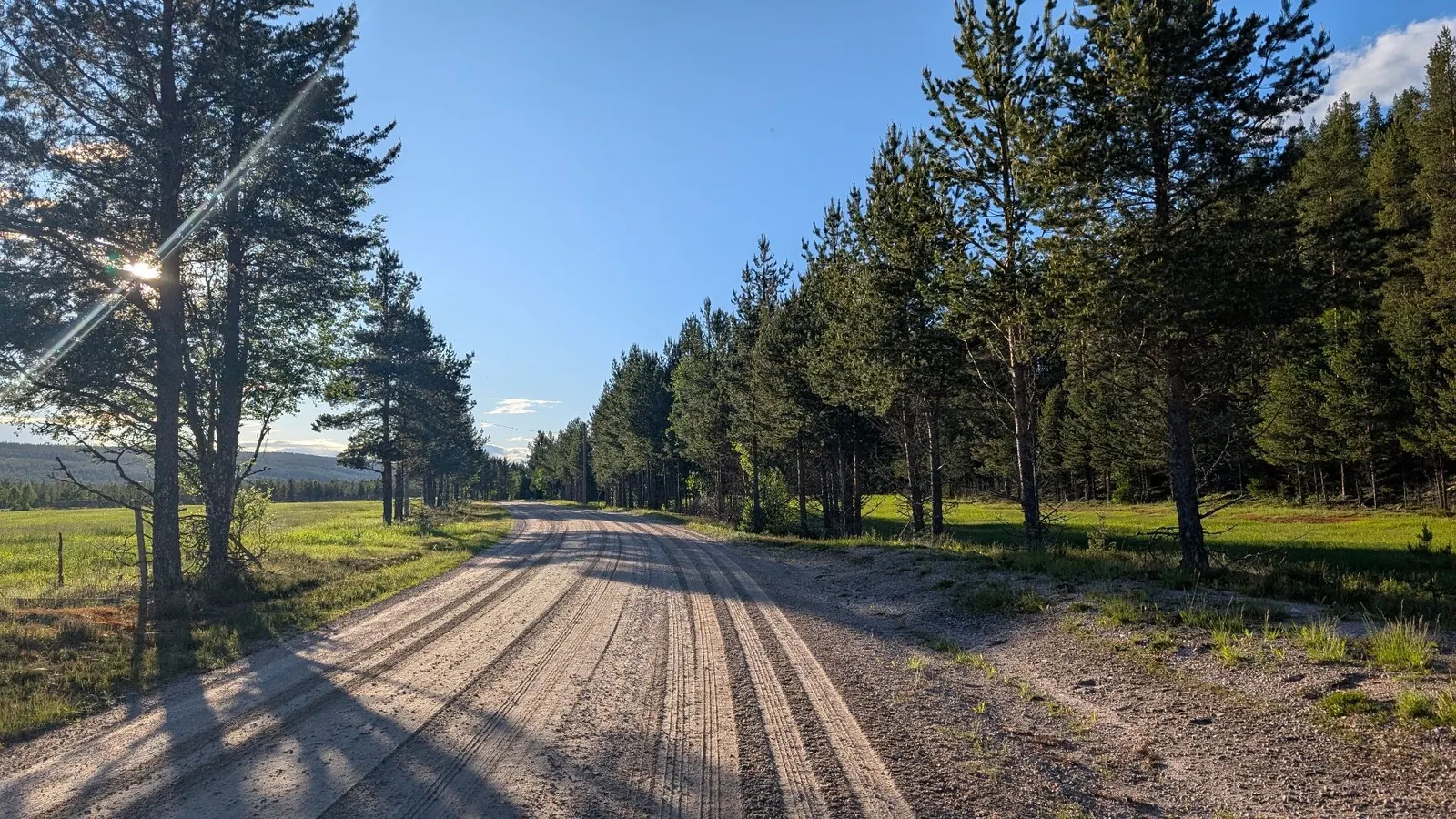
According to rider feedback, the gravel quality is generally excellent throughout the route. After passing through Trysil, the route climbs steeply on a forest “trim trail” with great views at the top (700m). The descent is steep, but fully ridable, dropping down towards the main road along the Trysilelva river.
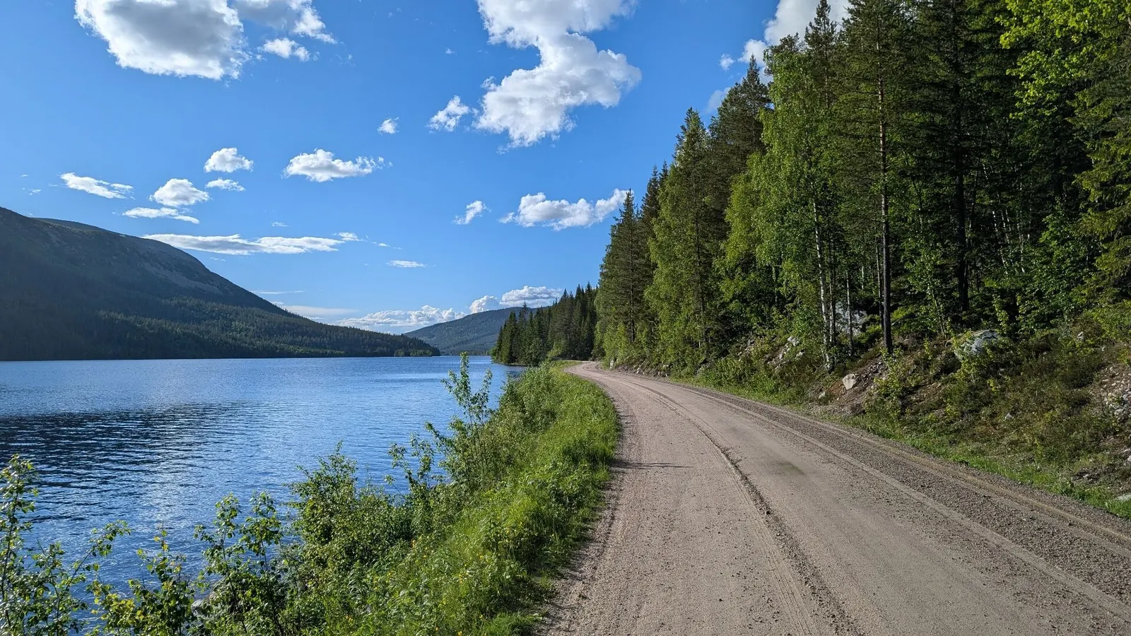
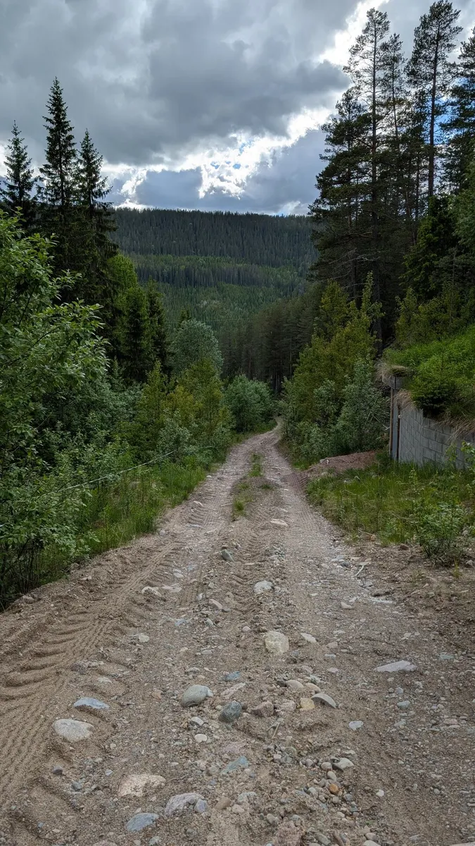
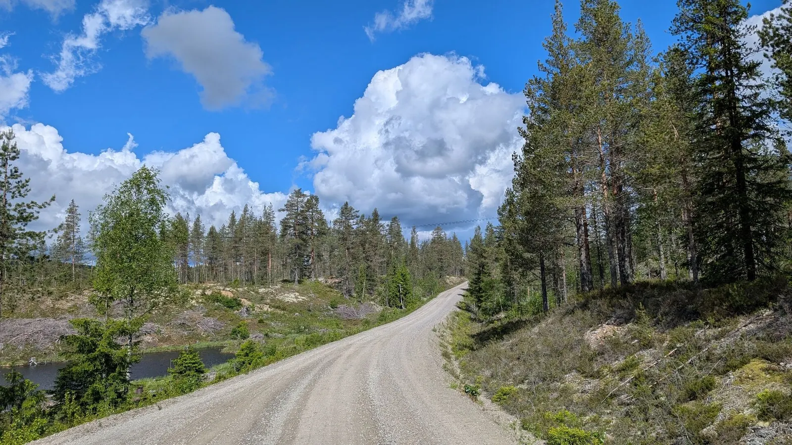
The only areas where conditions were slightly rougher were on some newly gravelled sections between Trysilelva, Sennsjøen and Femundselva. Elsewhere, riders can expect fast-rolling gravel, low traffic levels and a route that feels far removed from modern life. For those looking to link NGR4 and NGR8 together, this connector is much more than a practical shortcut—it is a scenic and worthwhile ride in its own right.
Route map
“Norway is full of surprises, and this forgotten corner of the country may be one of its finest.”
Useful links
Booking.com – for accommodation options across Norway
Entur app – for planning public transport trips around Norway
Ferries – routes, timetables and information by Statens Vegvesen
Wild camping etiquette – important to know
Keep in mind
All cycling routes published on CYCLENORWAY.com are intended as planning resources and sources of inspiration to be used alongside your own research and judgement. Routes are created using careful research, but every cyclist has different abilities, expectations, and risk tolerance. Some routes may include hike-a-bike sections, muddy or wet hiking paths, technical terrain, steep climbs, descents, or remote areas that may not be suitable for everyone. Route data, mapping software, and conditions can also change or contain inaccuracies. Cycling in Norway is generally very safe. Nevertheless, if you choose to ride these routes, you do so at your own risk.

Leave a Reply