“A must if you want to cycle Norway. You can get all the super valuable information on the site, and even better, admins replied to all my questions super quickly and really helped us with planning our cycling journey.”
Ljubljana, Slovenia
“There is so much valuable information on this site. I loved the detour options from the main routes, really insightful and comprehensive. The site basically answered all my questions, and if I need further help, there is both the forum and private Facebook group to use. I look forward to further updates and videos!”
London, UK
“I am genuinely amazed by the level of dedication and effort that has been poured into this website. So much I didn’t know about my own country!”
Oslo, Norway
Book a call with our founder, Matthew, and have all your questions and concerns answered,
Annual Membership
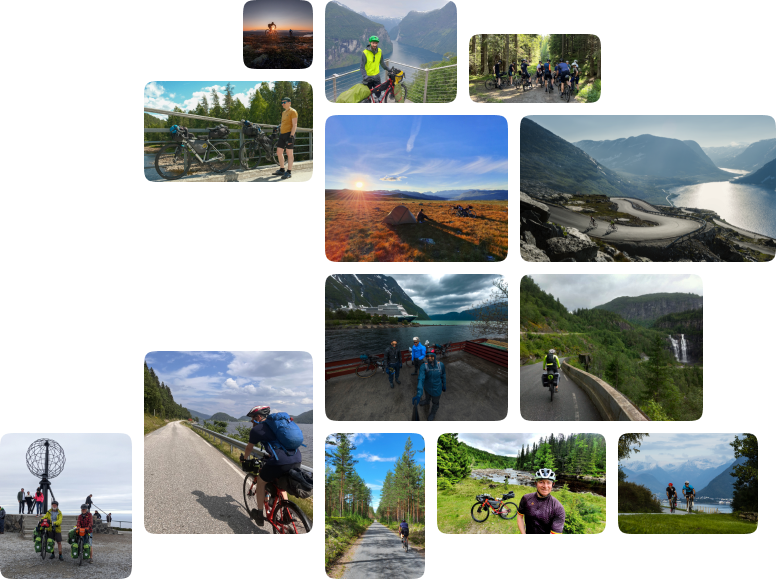
Cycle Norway is dedicated to making Norway, safer and more enjoyable to experience by bike and to inspire and inform a growing audience of the opportunities available.