


Climb Oslo’s Highest Road: The Hidden Beast of Gyrihaugen
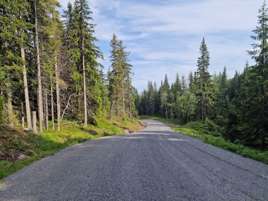
If you’re cycling through the Oslo region and think the terrain is all rolling forest paths and mellow gravel, think again. Tucked away in the northwest corner of Oslo’s great forest, Nordmarka,is one of the region’s steepest and most dramatic climbs: Gyrihaugen.
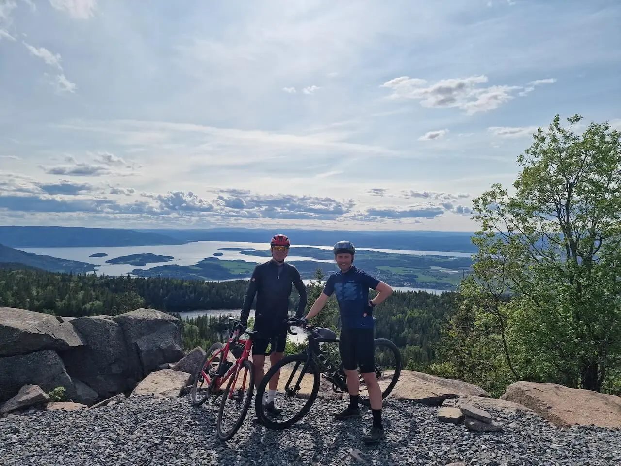
We tackled it from the village of Åsa near Steinsfjorden, the tougher and more scenic side. What starts as a gentle forest road quickly turns into a relentless climb that gains over 620 meters of elevation, topping out at 683 meters above sea level, making it the highest road climb in the Oslo area.
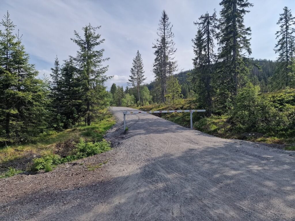
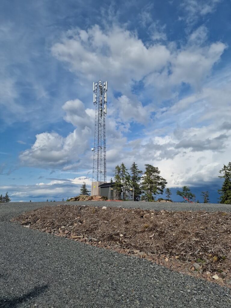
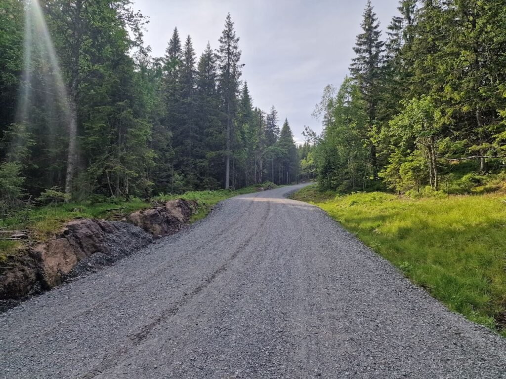
But this is no ancient forest trail or forgotten gravel lane. The road to Gyrihaugen was bulldozed into existence for a now-abandoned military radar project, intended to be part of NATO’s northern surveillance network. After years of blasting and clearing through protected forest, the radar was never installed due to interference issues. The only thing left behind? A perfectly engineered gravel road that now stands as a monument to misplaced planning, and a gift to adventurous cyclists.
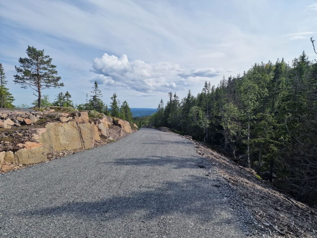
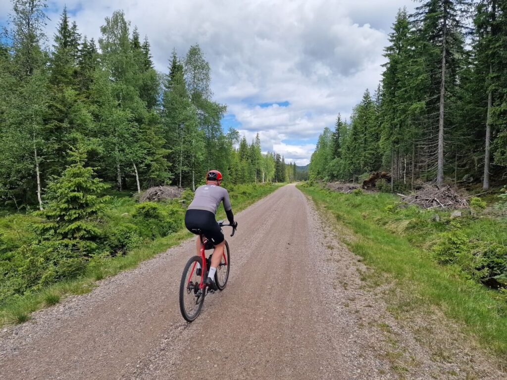
The climb itself is no joke. With sections reaching 17% gradient, tight hairpin bends, and long sustained pitches, it’s a test of legs and mindset. Yet, the surface is excellent, hard-packed gravel wide enough for construction vehicles, making it suitable even for a road bike with robust tires.
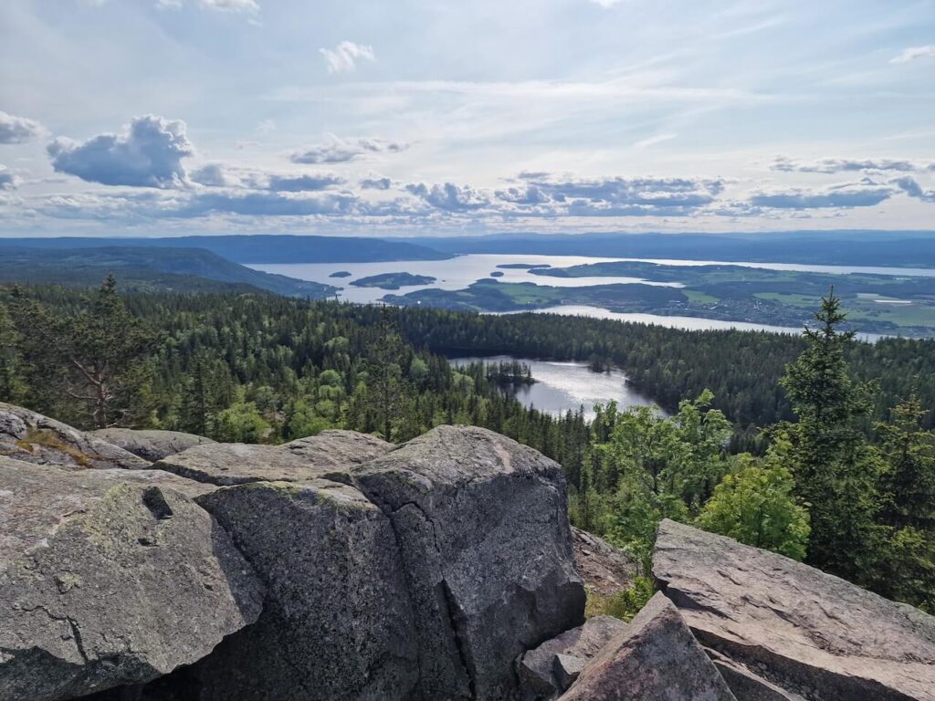
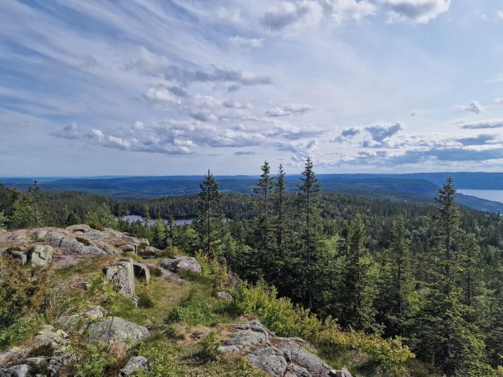
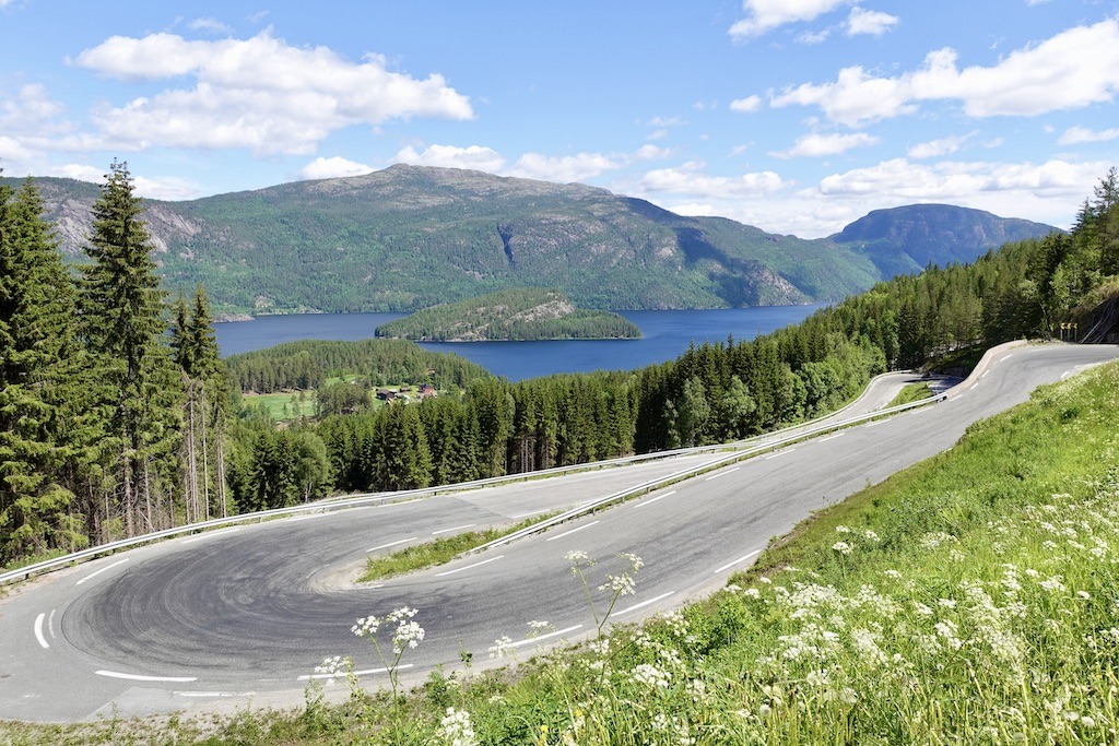
At the summit, you’re rewarded with one of the most sweeping views in Eastern Norway. On clear days, you can see all the way to Hardangervidda and the iconic Gaustatoppen, two of Norway’s great mountain landmarks.
While the road comes with a heavy environmental cost, flattened trees, guardrails, and scars on the landscape, it also opens up an otherwise remote part of the forest to cycling. Whether it remains rideable in the future is uncertain. Discussions are ongoing about rewilding the area, converting it into a hiking access point, or letting it deteriorate naturally.
If you’re passing through Oslo and looking for a serious challenge, Gyrihaugen is the one climb you shouldn’t miss. It’s steep, raw, and strangely beautiful, an unforgettable ride born from military ambition and reclaimed by cyclists.
Route Options to Gyrihaugen
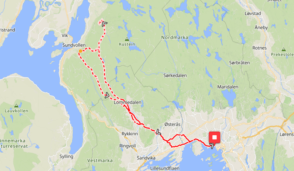
Option 1: Kongevegen Approach (from Oslo via Nordmarka)
Start your ride directly from Oslo and head into the forest via the old Kongevegen gravel road. This scenic route takes you deep into Nordmarka, eventually linking up with the newly constructed military road to Gyrihaugen from the easiereastern side. After reaching the summit, you can descend westward toward Lommedalen and continue back into the city through gravel and forest roads. A solid day ride with serious elevation, but manageable for most experienced cyclists.
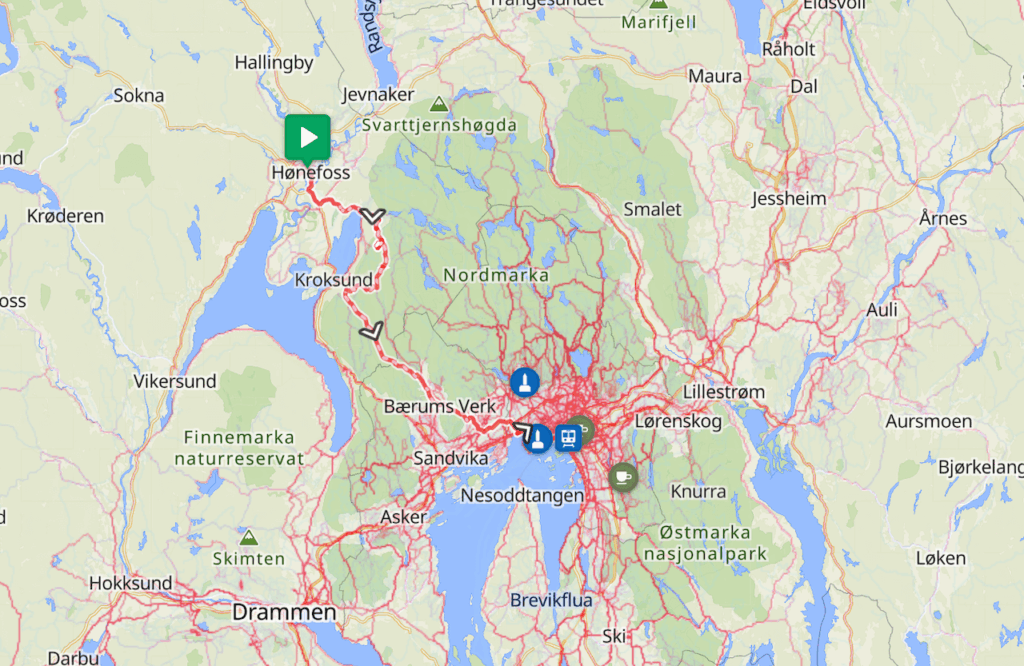
Option 2: The Steep Western Climb (via Hønefoss)
Take the train or bus from Oslo to Hønefoss, then cycle toward Åsa and tackle the full climb from the western side—by far the steeper and more demanding option. The climb rises all the way to 683 meters above sea level, with long pitches and sharp gradients. It’s a proper test, but the views from the top more than make up for the effort.
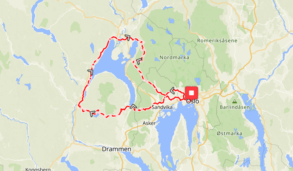
Option 3: Full Loop Challenge (multi-day or epic day ride)
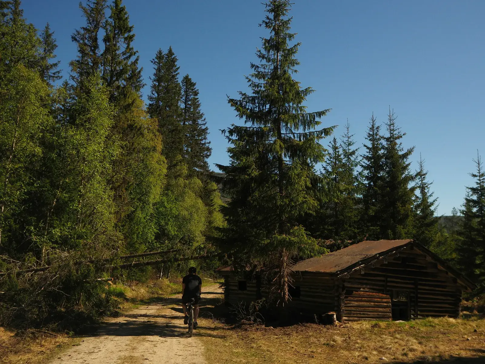
For those looking for a big ride, consider a full loop through the western gravel networks before returning via Kongevegen and Nordmarka. This can be done as a demanding one-day ride or split into two days, with several campsites, cabins, and wild camping options available along the way. It’s a real forest adventure, offering a deep dive into the best gravel cycling Oslo’s surroundings have to offer.
Leave a Reply