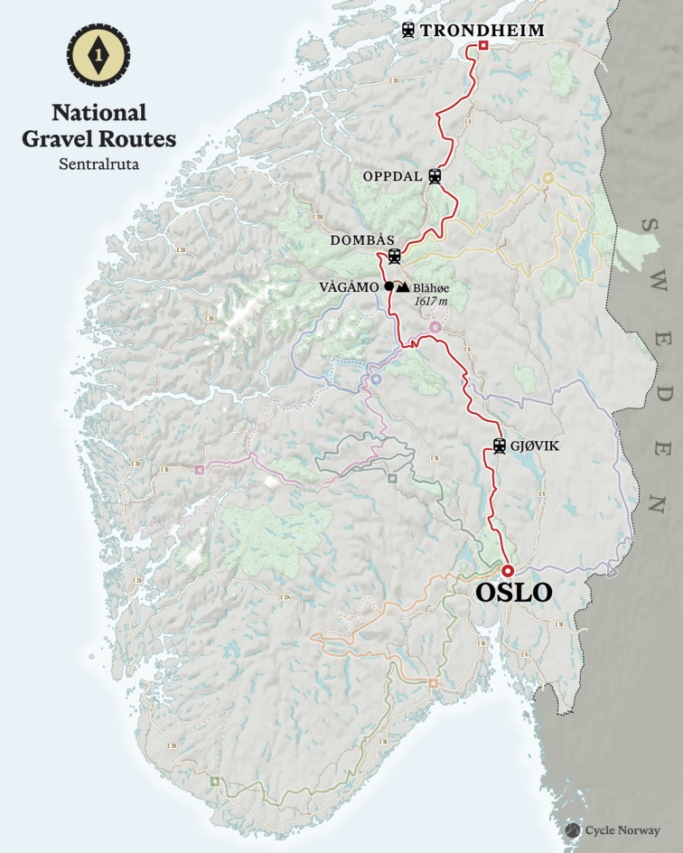
This route took the longest to map and refine. There are many ways to travel north from Oslo, and it took several years and multiple bikepacking expeditions to settle on what would become the official line. The distance between these two cities is considerable, and when gravel is involved, there are no straight routes. This is as close as it gets to balancing efficiency with adventure.
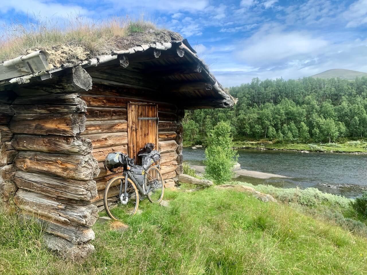
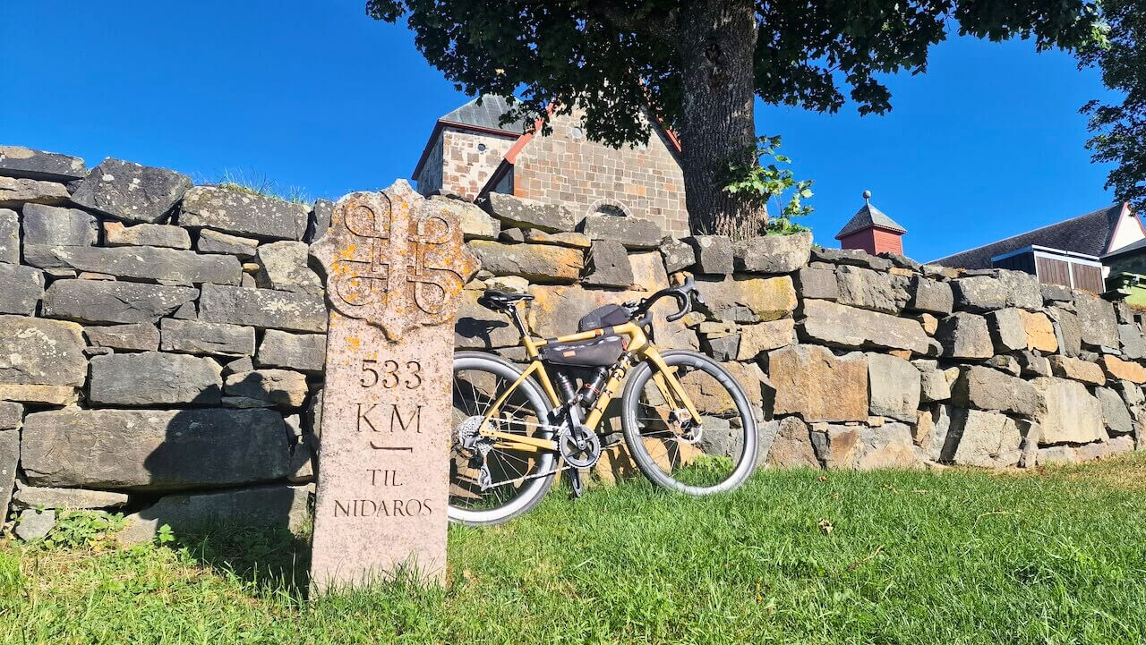
What makes this route unique is the sense that you are following lines laid down long before cycling existed. Heading north towards Nidaros Cathedral, you move through parts of Norway shaped by the medieval pilgrimage to the shrine of Olav II Haraldsson, where early Christian travellers crossed the same valleys and mountain passes in the 11th and 12th centuries. That history is not always visible, but it sits quietly in the landscape. In one remote section of the route, a small plaque marks where the Royal Air Force dropped supplies to the Norwegian resistance during World War II. It’s these small encounters with the past that give the journey its deeper meaning.
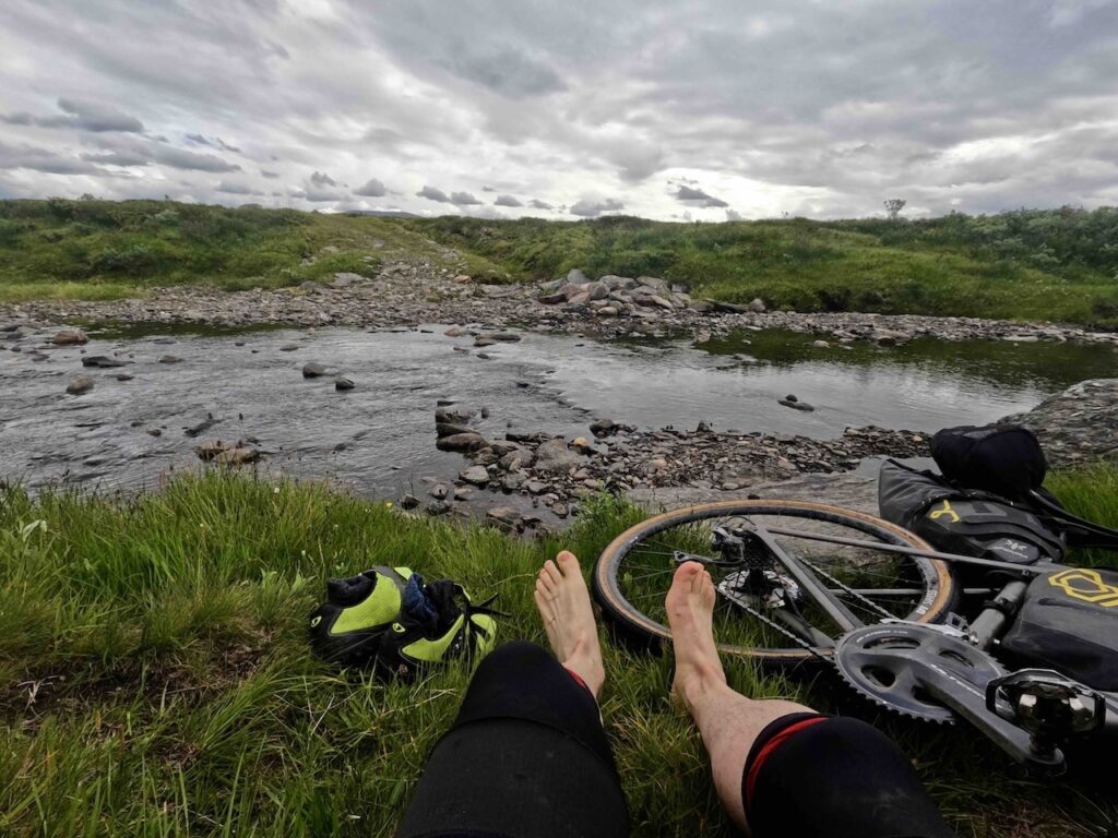
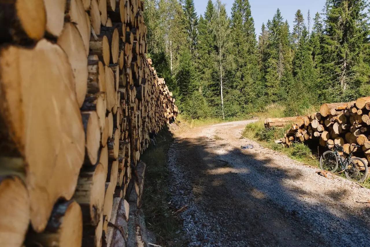
Not every section is smooth. You’ll cross streams, ride narrow duckboards, and face rough terrain that demands solid bike handling. This is not a beginner’s route. It’s for riders who are prepared, experienced, and willing to take on a wide range of conditions.
If that sounds like your kind of ride, read on.
The route begins by following what has become known as Oslo’s best long-distance gravel day ride. Many local riders take the train to Gjøvik and cycle back or vice versa. From there, the route heads north, gradually climbing through remote farmland and forest until you reach the famous Peer Gynt Vegen, where the highlands open up and Norway’s interior begins to take hold.
The climate shifts here. Nights turn colder as you ride between Jotunheimen National Park and the Gudbrandsdalen valley. The views are vast, the gravel roads largely empty. From Vågåmo, the hardest climb of the journey begins: Slådalsvegen, a long, demanding ascent to 1,200 metres, followed by a fast descent to Dombås with wide views across Dovrefjell National Park.
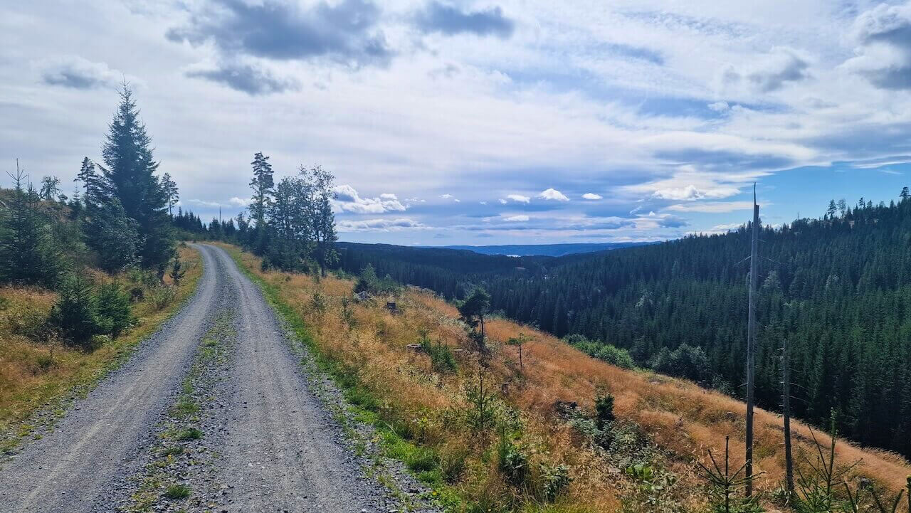
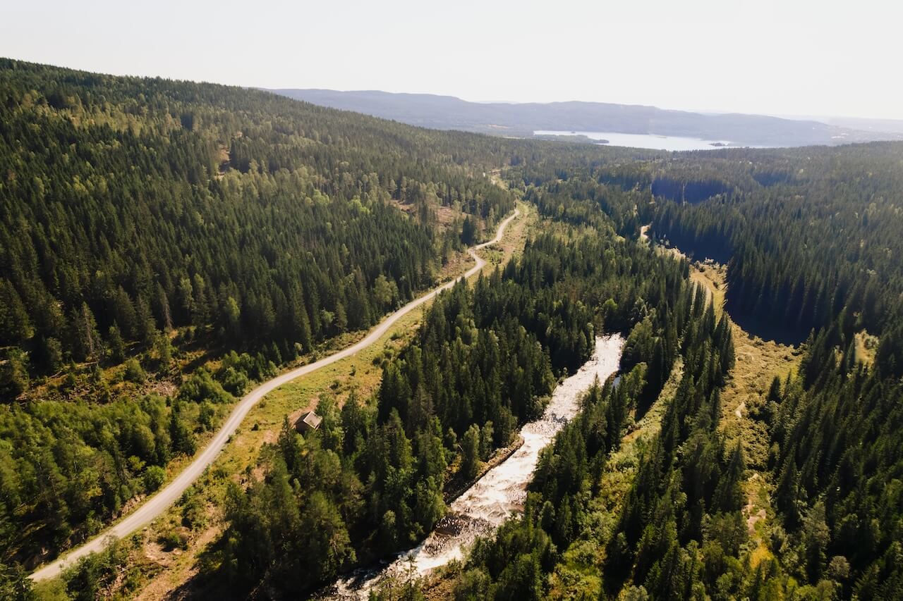
From Dombås, a newer stretch of gravel to Hjerkinn, built in 2016 and now part of the Tour de Dovre, offers a brief change of rhythm before the terrain turns again. Crossing the Knutshø landscape conservation area, the route enters one of its wildest sections: streams to ford, long distances without shelter or supplies, and a windswept plateau that demands respect.

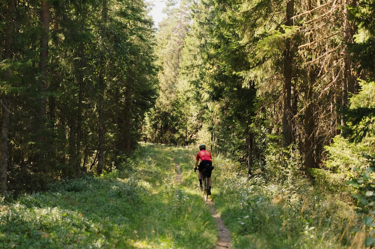
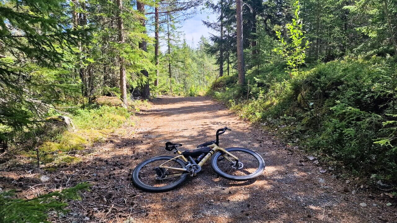
After several hours alone, the descent to Oppdal brings relief. It’s the first real chance to recover and resupply before continuing north. From here, the route into Trondheim follows old roads and hidden forest paths, where a possible short hike-a-bike section and guaranteed wet feet are part of the deal.
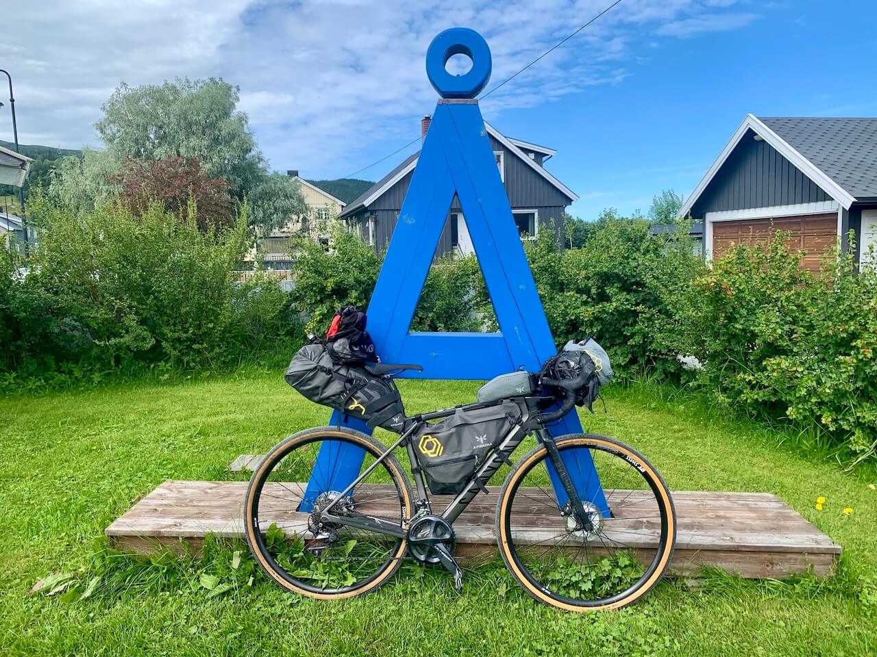
The final push comes through Bymarka, the forest that borders Trondheim. It’s a far better approach than the standard cycle lanes through built-up areas. Emerging from the trees, you follow the fjord and roll into the city centre within a few kilometres, finishing at the train station or even better at Nidaros Cathedral.
Arrival can feel disorienting. After days on forgotten roads, you’re suddenly back among ordinary life. People carry on as if nothing has changed. But you know otherwise.
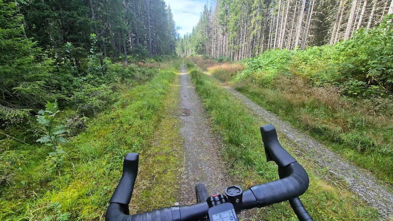
After a short ride through Oslo, the city starts to disappear and what lies in front of you is Oslo's biggest back garden. Known as Nordmarka, a 400 square kilometre forest that surrounds Norway's capital. Cycling through it is the perfect introduction to this long and complex route. At first, dog walkers and runners share the tracks, but after around 10 kilometres, the forest begins to quieten. The further you go, the fewer people you see, until it feels like the place has opened up just for you.
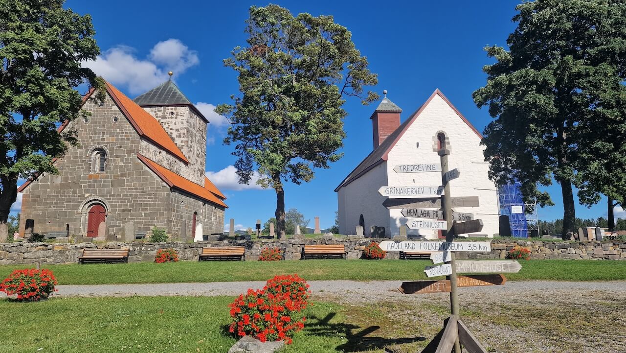
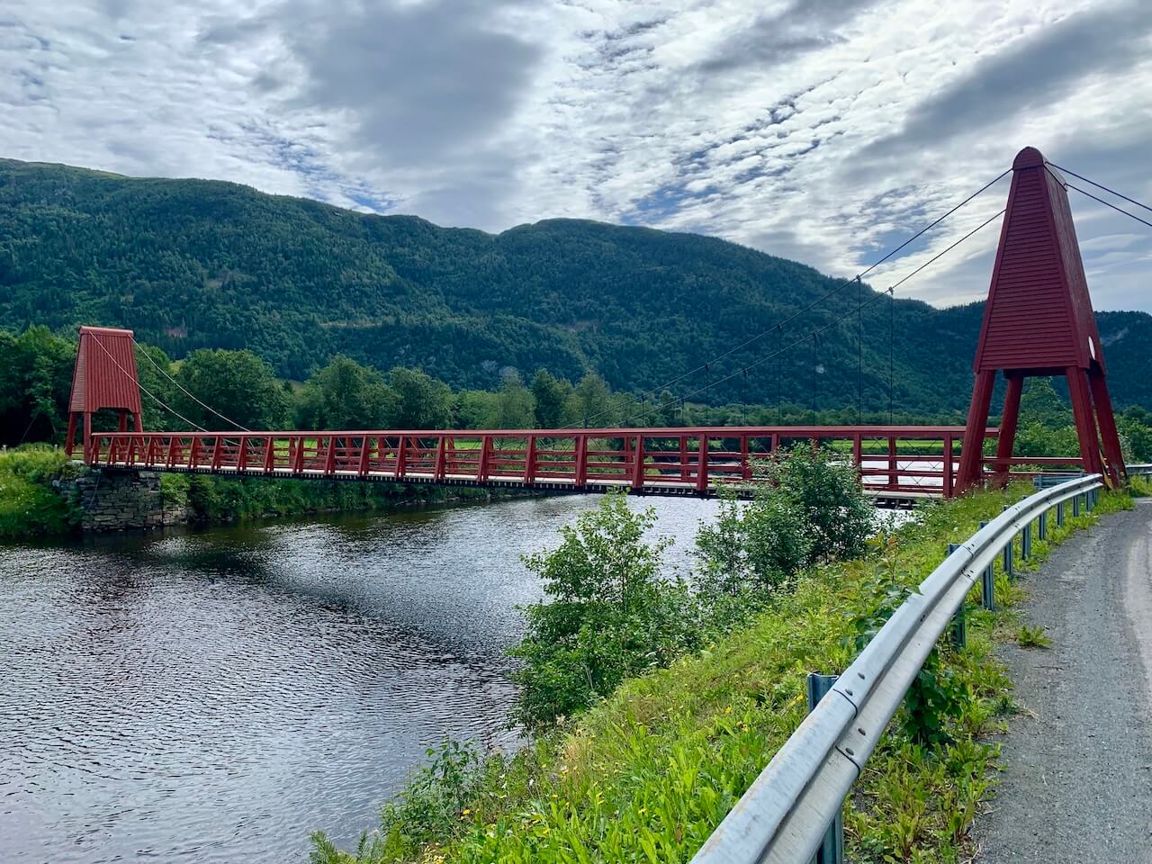
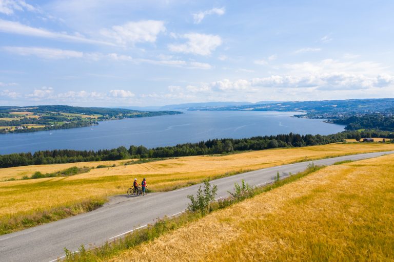
After descending out of the forest at the 40km mark, you pass through open farmland and small settlements where supplies can be found. One of the highlights is Søsterkirkene in Granavollen, two 12th-century churches standing side by side, surrounded by rolling countryside. It’s a historic place, with cafés and hotels that still serve travellers, weddings, and those passing through.
Further north, the route enters another forested area, known for its role during World War II. Look closely and you might spot a small sign marking where British airmen dropped supplies to the Norwegian resistance under the cover of darkness. The final section into Gjøvik turns to paved road, an easy roll into town and a well-earned break.
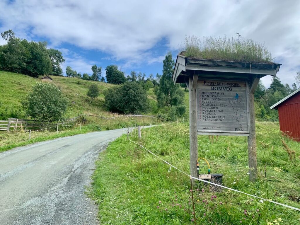
Section two is where the real work begins, as you climb out of the valley into a more remote and wilder part of Norway. You could follow Lake Mjøsa to Lillehammer and reduce some of the climbing, but that would mean sticking to paved roads. You didn’t come this far for the easy option.
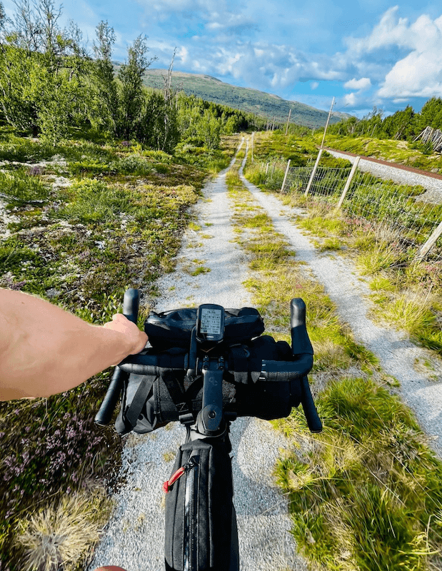
The climb through farmland and into the forest quickly becomes remote, and you’ll likely see very few people up here. There’s an unavoidable descent into another valley on tarmac for a short stretch, before the next climb begins. At the top, you reach the barrier where the famous Peer Gynt Vegen begins on gravel.
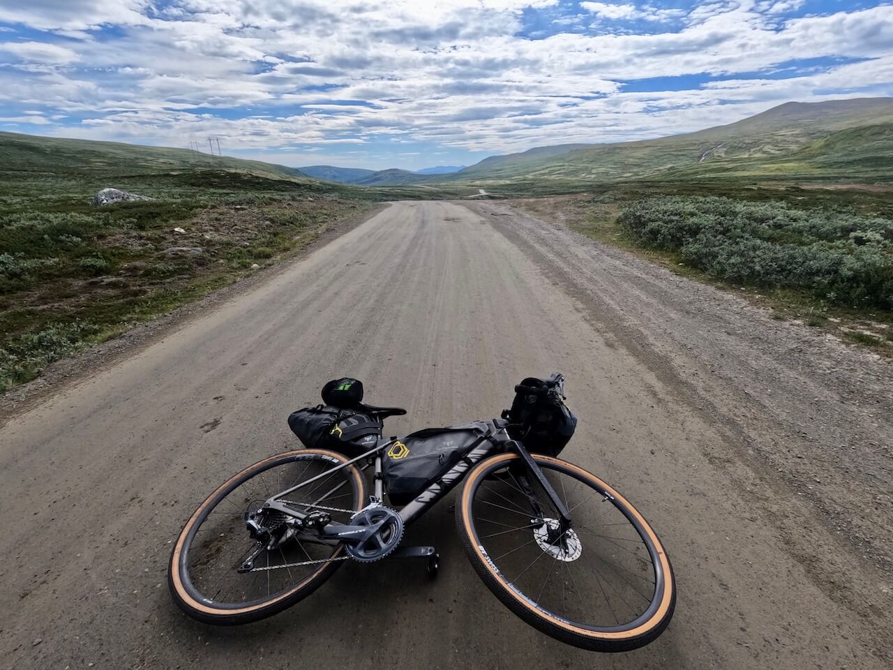
This mythical mountain road between Skei and Gålå is a real highlight of the journey, carrying you north for around 60 kilometres through open highland terrain. A short paved section interrupts the flow, but it doesn’t last long before the gravel returns as you push towards the Jotunheimen National Park region.
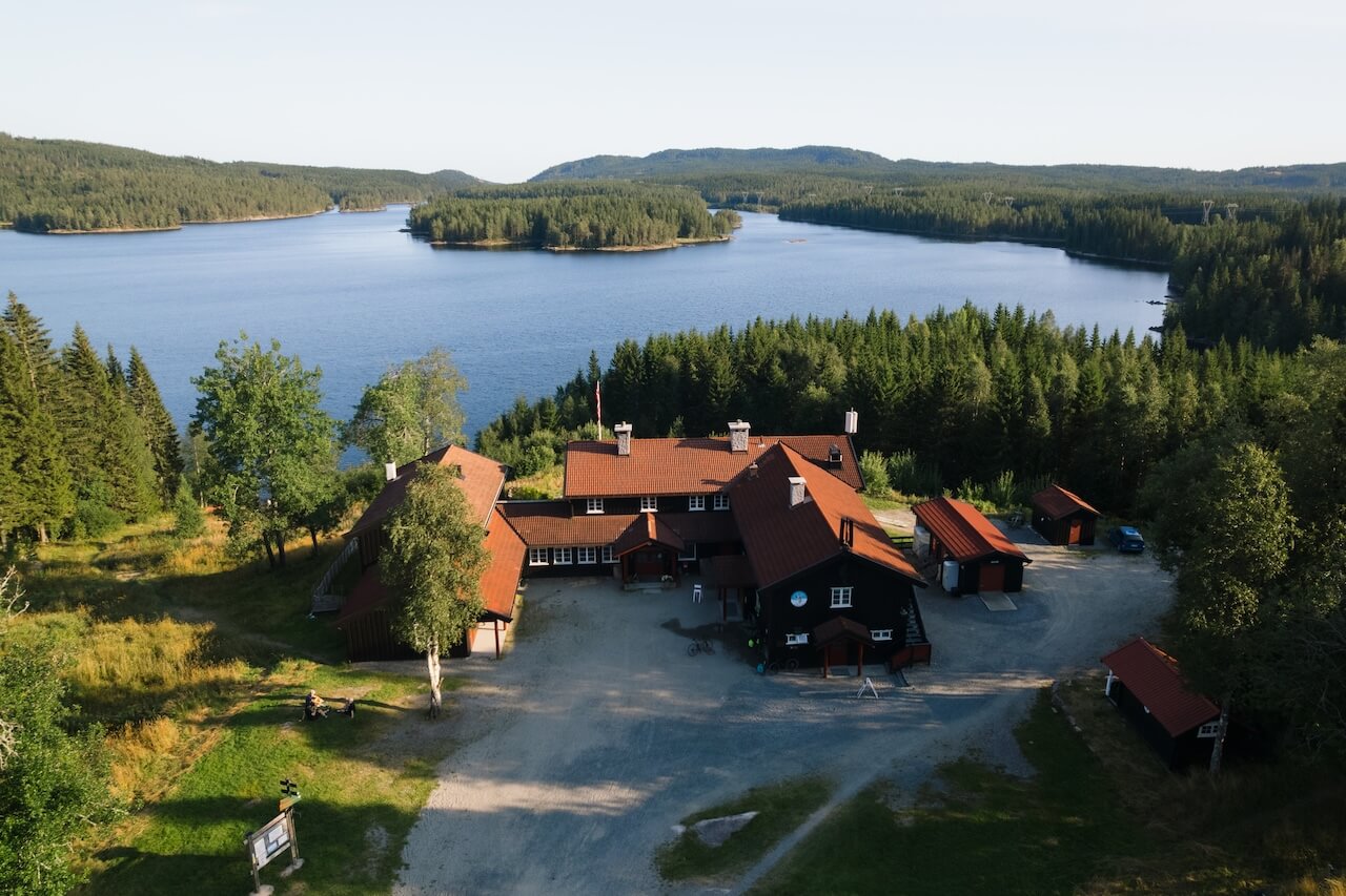
A good place to stop before section three is Fefor Høifjellshotell — a historic lodge set above the landscape you’ll ride into the following day.
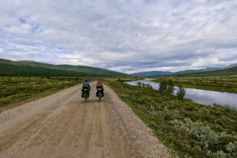
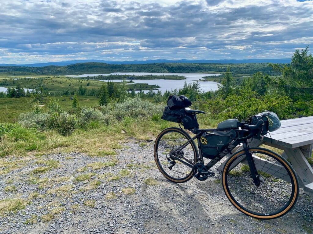
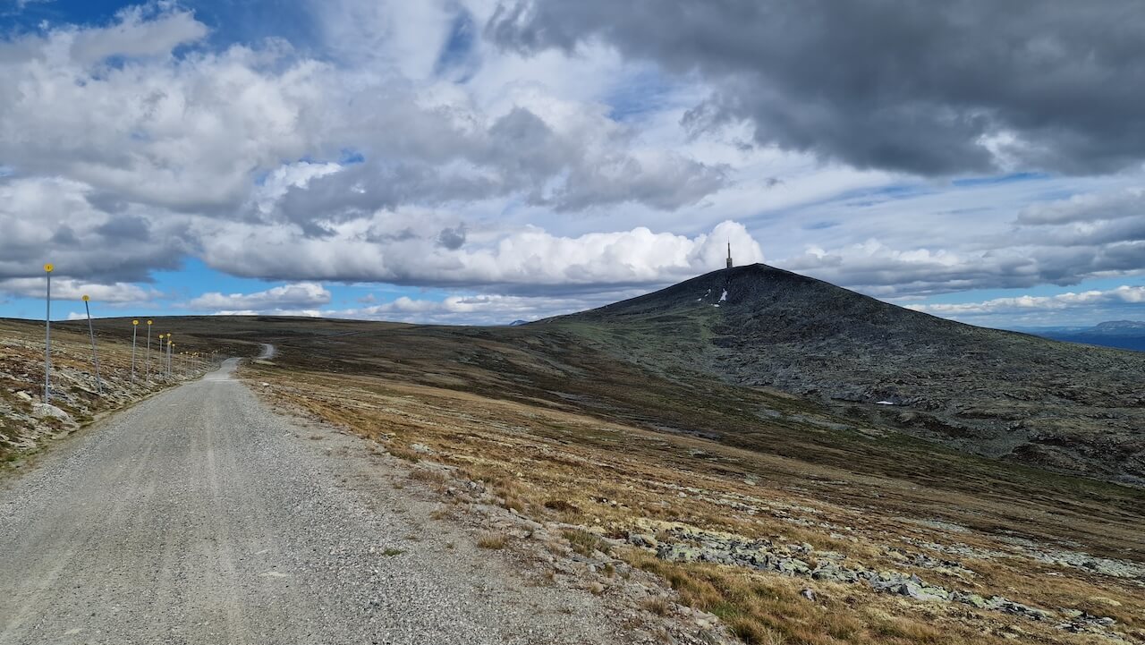
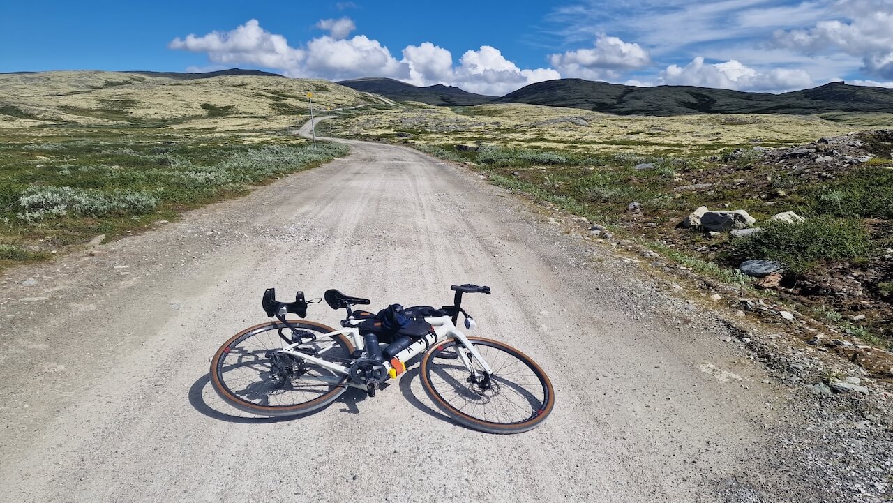
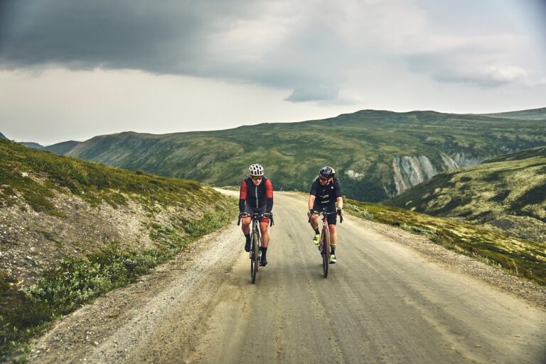
Section three is, for many, the favourite part. The gravel road that cuts north, with Jotunheimen National Park on one side and the Gudbrandsdalen valley on the other, is something special to ride.
However, it can be extremely cold up here on the wrong day, so be prepared for anything. There’s little to no shelter, and getting caught in heavy rain can quickly turn things. On a clear day, though, the views are the best of the journey. You’ll find yourself stopping often, pulled in by the landscape.
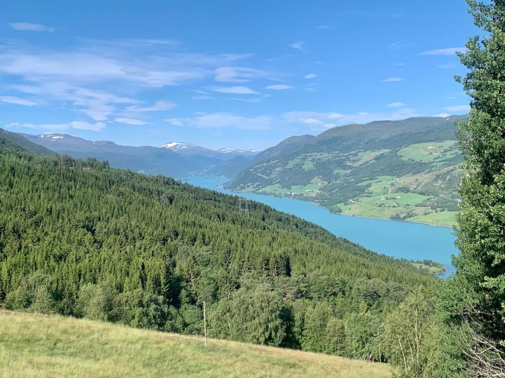
The descent off the mountain towards Vågåmo is when it really hits you how far you’ve come. Oslo feels a long way from this world. As you drop down, Vågåvatnet comes into view, one of Norway’s most striking lakes, with its distinct turquoise colour marking your arrival into town.
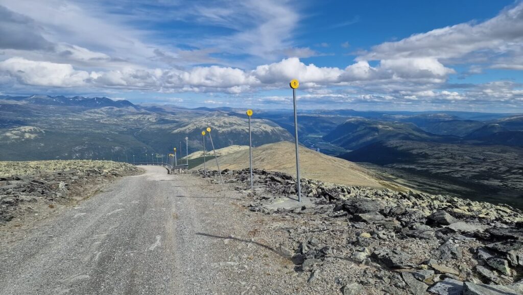
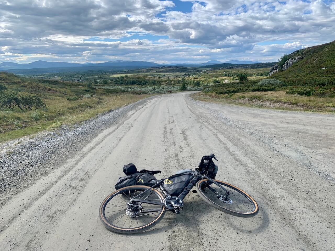
Leaving Vågåmo, make sure you’ve had a proper breakfast as you’re about to burn through a lot of energy. Slådalsvegen is a mighty climb to 1,200 metres on gravel, and the hardest challenge of the entire journey. At the top, and on the descent, you’re rewarded with wide views across Dovrefjell-Sunndalsfjella National Park and its raw, open landscape.
A short stop in Dombås to pick up supplies is essential. From there, the gravel continues as you join part of the Tour de Dovre route, running parallel to the E6 but far removed from it. The track winds through a quiet landscape that sits between two national parks, with a steady sense of exposure.
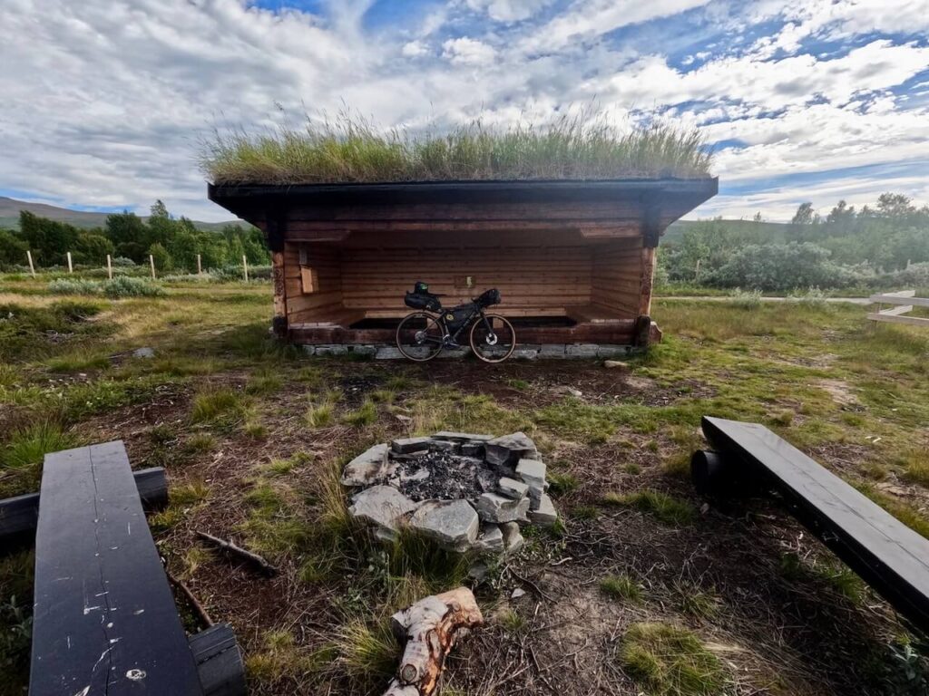
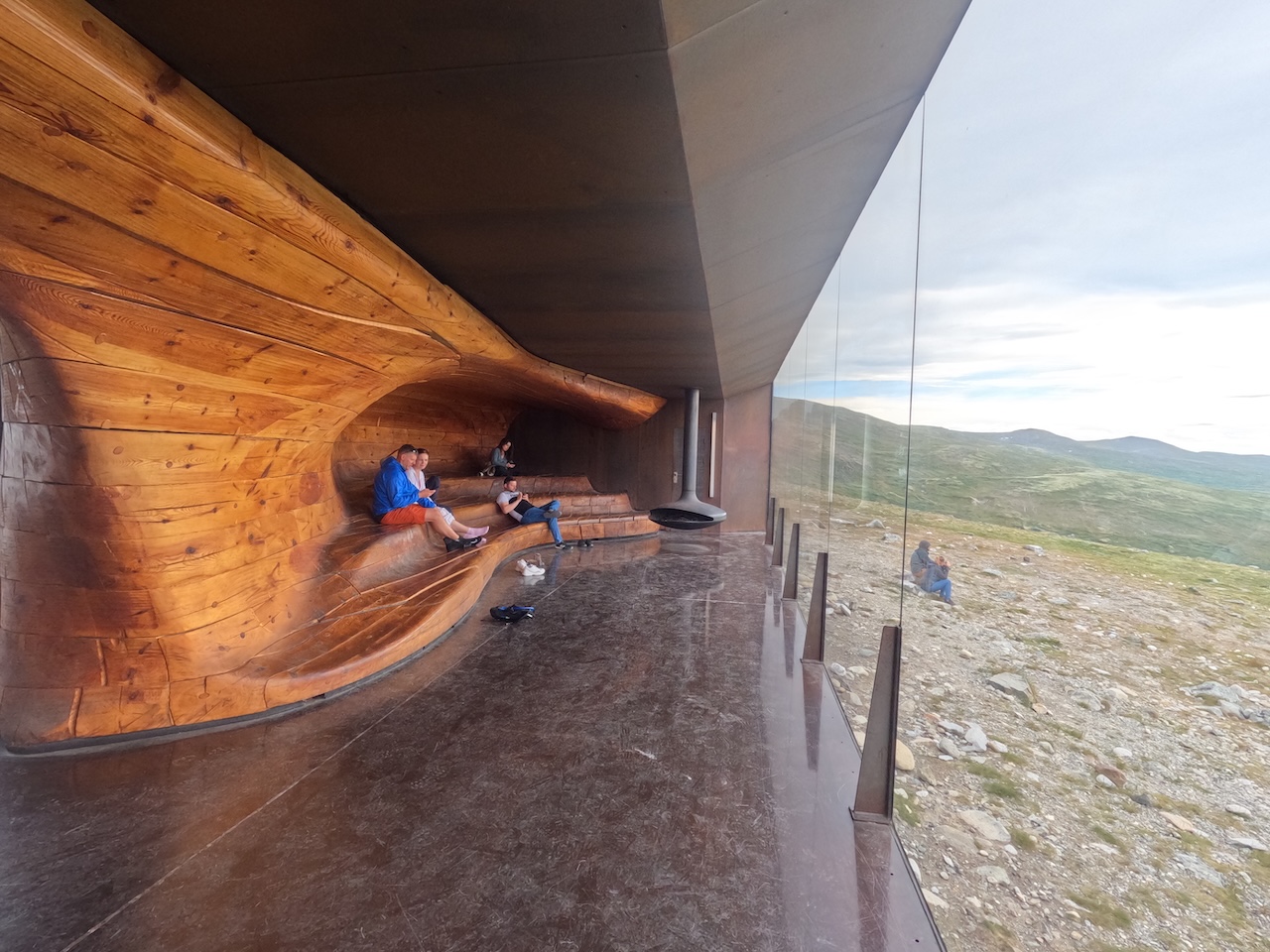
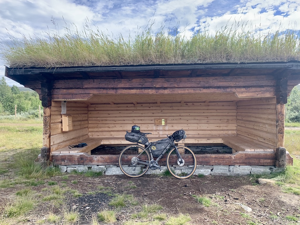
Hjerkinn is a good place to stop for the night, with both camping and accommodation available. If you push on, be aware there is very little until Oppdal, around 80 kilometres further. At Hjerkinn, the Snøhetta viewpoint cabin is worth a quick hike to if you get the opportunity.
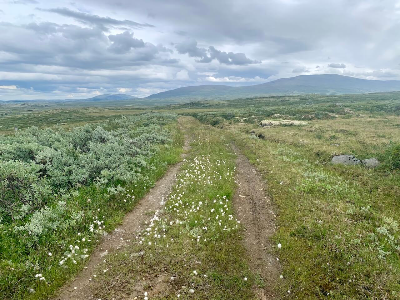
This is another highlight section for many. After some steady gravel heading east towards Røros, the route turns north on a comfortable climb into the Knutshø landskapsvernområde. From here, a mix of gravel roads and rough tracks carry you through a wild, exposed landscape, with river crossings thrown in for good measure. It’s remote, open, and quietly unforgiving.
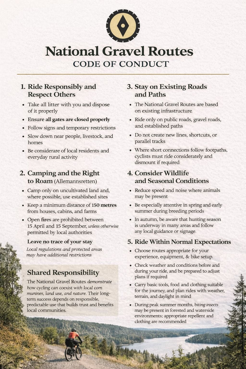
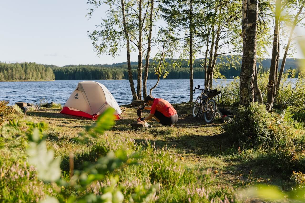
Access for cyclists in this region is under increasing scrutiny, and if usage is seen to create issues, restrictions may be introduced. How riders behave here matters. Keeping a low profile and showing respect is key to ensuring these roads remain open. And that includes not wild camping in this region - get down off the mountain before finding a camp for the night.
The descent to Oppdal is fast and loose, dropping you out of the mountains in a way that feels almost abrupt. One moment you’re deep in wilderness, and 15 minutes later you’re standing outside a supermarket or bakery. It’s a strange contrast.
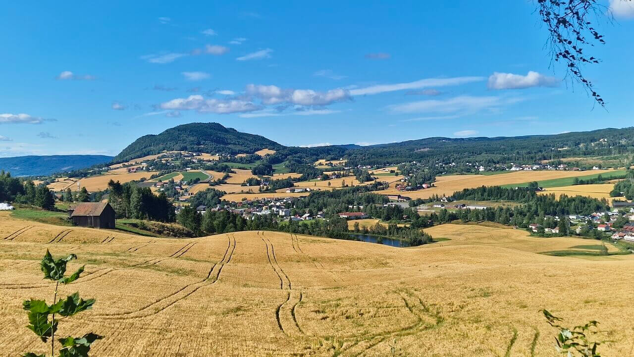
From Oppdal, Norway softens. The route becomes more forgiving as you follow old roads north towards Trondheim. If you plan to stop at the end of this section, book a night at Bergtun Gård. And take the road on the right side of the river, not the official line, unless you want a long detour to find a crossing.
Some days ago, you left Oslo riding through vast forests on empty gravel roads. For most of the journey, gravel has guided your way over mountains and through remote valleys. And now, the final day is here.
But don’t expect an easy run into Trondheim. There are still surprises left. A remote forest section appears to come to a dead end, but a shallow river crossing links the route back together. From there, gravel continues along quiet farm roads before the landscape begins to close in.
Before reaching the built-up areas, the route veers off into Bymarka, Trondheim’s own version of Nordmarka, and a fitting way to end the journey as it began. When you finally emerge from the forest, the city lies ahead. The last kilometres along the fjord carry a different weight now, whether you roll towards Nidaros Cathedral or the station.
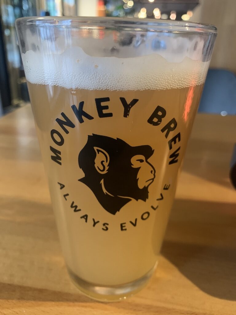
It’s a strange moment. After days in isolation, you’re suddenly back among people who have no idea where you’ve come from. But you know what it took. After paying your respects to Olav II Haraldsson at the cathedral, head back into the centre, drop the bike, and make your way to ØX Tap Room. You’ve earned it.
From the town of Vågåmo, you have the option to take on one of Norway’s toughest gravel climbs to the summit of Blåhøe (1671 m). The route is approximately 16 km, mostly on gravel, and should only be attempted in stable weather conditions. The descent is technical and demanding, requiring at least 40 mm tyres and confident handling skills.

Knutshø Landskapsvernområde (Section 5: After Hjerkinn for 80km) – Important: This is a sensitive and protected area. Wild camping is not permitted, and riders are expected to pass through quietly and without disturbance. Keep a low profile, stay on the route, and plan to cross the area in one continuous push.
Authorities are monitoring use, and any signs of disturbance to wildlife, littering, or overnight stays could lead to restrictions or a full ban on cycling access. Respect the area so it remains open for others.
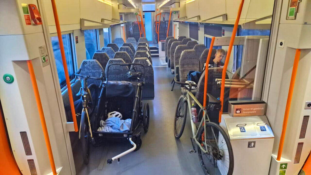
There are two train lines that follow close to the route at certain stages (see map above for locations).
On reaching Trondheim, you have several options, including heading north to Bodø, south to Røros, or east into Sweden. Further info here.
All trains can be booked here: enter.no
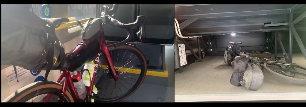
Local buses will connect towns and villages in the regions you pass. You will not come across many bus stops as you cycle mainly on gravel roads, but where possible, you will be allowed to take a local bus should you have a mechanical, etc. You buy a ticket using local regional apps that are displayed on bus stops. Bikes are usually stored in the undercarriage or the centre of the bus, where baby prams and wheelchair access are offered.
There are no ferries on this route
Livestock: This route passes through active farmland where animals roam freely. Expect regular encounters. Cows often stand in the road and are slow to move, sheep can scatter unpredictably, and goats may gather on the track. Reduce your speed, stay in control, and pass calmly.
Be especially mindful near farms. Tension between landowners and cyclists can be high in some areas. Ride respectfully, avoid unnecessary stops, and keep a low profile.
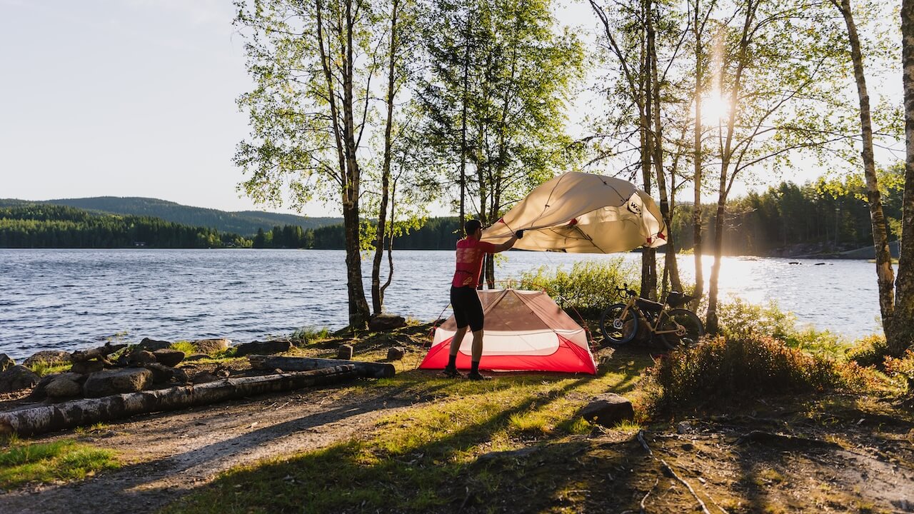
Mosquitoes: Common in summer, particularly near lakes and when camping. Conditions vary, but June–August, you should have repellent—it’s essential.
Reindeer: Found in the Jotunheimen, Dovre and Rondane regions. There is ongoing discussion about restricting cycling in sensitive areas due to disturbance to herds. If you encounter reindeer, slow down, keep your distance, and wait for them to move away before continuing.

Moose: Present in forested sections. They can appear suddenly and are unpredictable. If you see one, slow down immediately and give it plenty of space, especially if it has a calf. They are powerful animals and can be dangerous if they charge.
Musk Ox: Occasionally seen near the Snøhetta area. These animals keep their distance, but you should do the same. Only observe from afar. Guided safaris are available if you want a closer (controlled) experience.

There are no tunnels on this route.
There are no major or heavily trafficked roads on this route. However, you will encounter vehicles in places. Stay visible, remain alert, and ride cautiously at all times.
The section from Oslo to Lillehammer typically offers stable and comfortable summer conditions. Beyond Lillehammer, the climate becomes more exposed and unpredictable as you approach Dovrefjell.
At higher elevations (above 700–800 m), temperatures can drop quickly, even in summer. Carry proper layers, including gloves and warm clothing. You may not need them, but when conditions turn, they are essential.
Sudden weather changes are common in the mountains. Heavy rain and strong winds can arrive quickly. Check forecasts daily and plan crossings of remote or high sections during stable weather windows.
Many riders underestimate this and get caught out. Waiting a few hours can often mean the difference between a safe crossing and a miserable one.
Closer to Trondheim, conditions stabilise, but the area is known for summer rain. Expect anything, hot and sunny, windy, or heavy showers are all possible.
