
210km
Entfernung
3300m
Höhengewinn
1-3
Tage
10%
Unbefestigt
8/10
Schwierigkeit
28-35mm
Idealtypen
The Heroes of Telemark
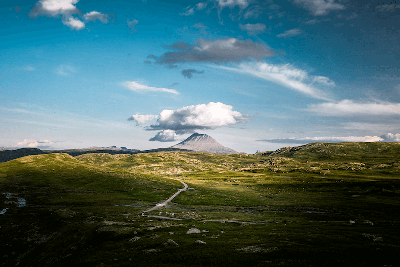
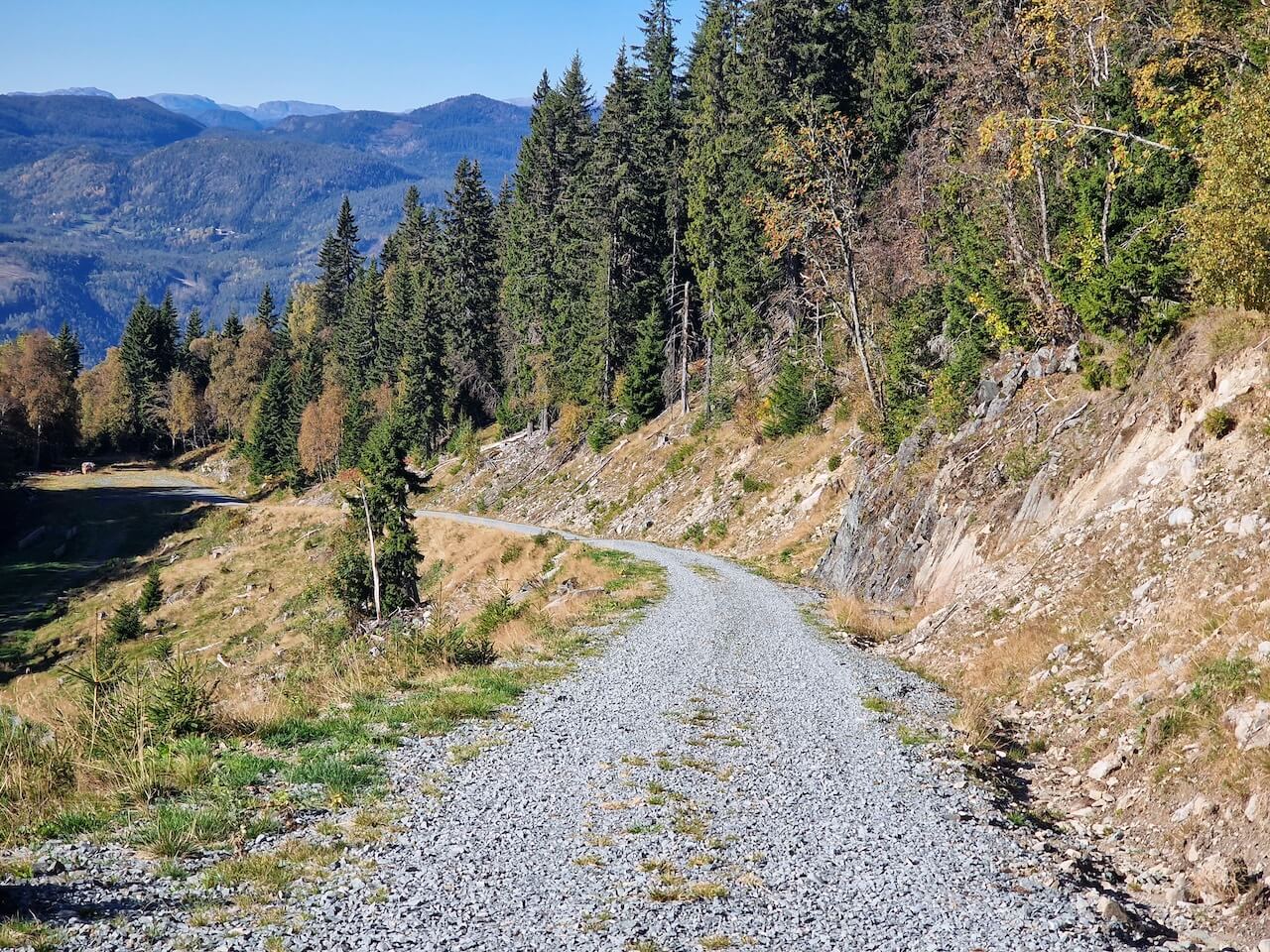
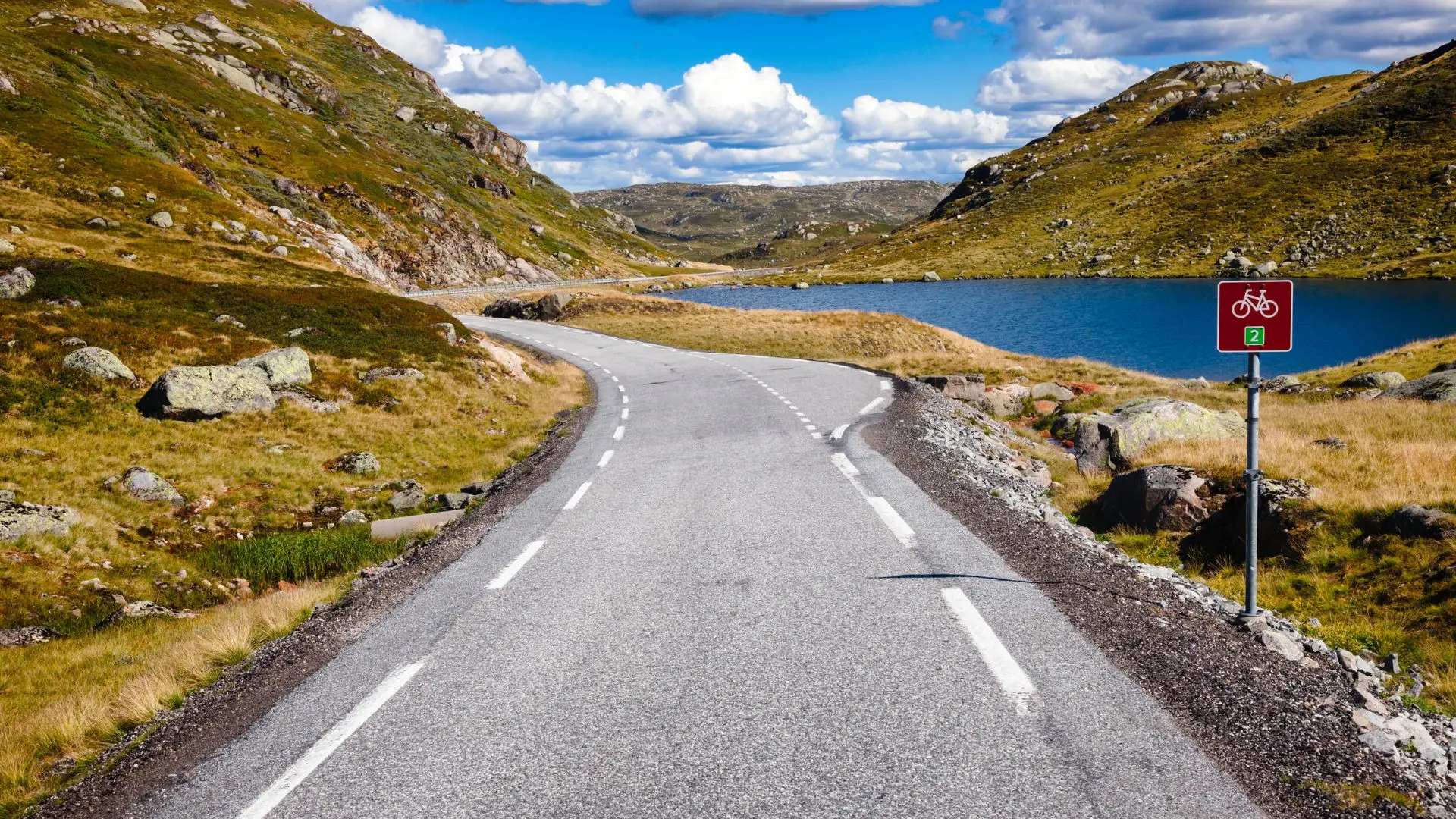
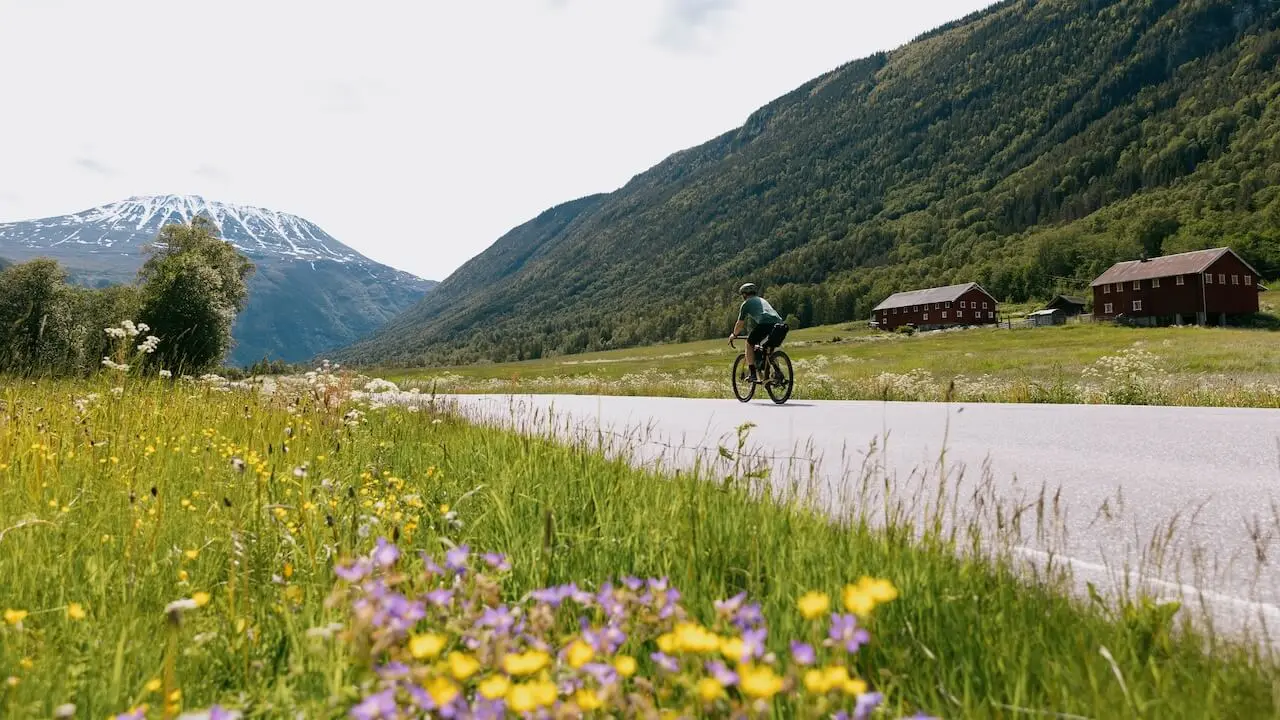
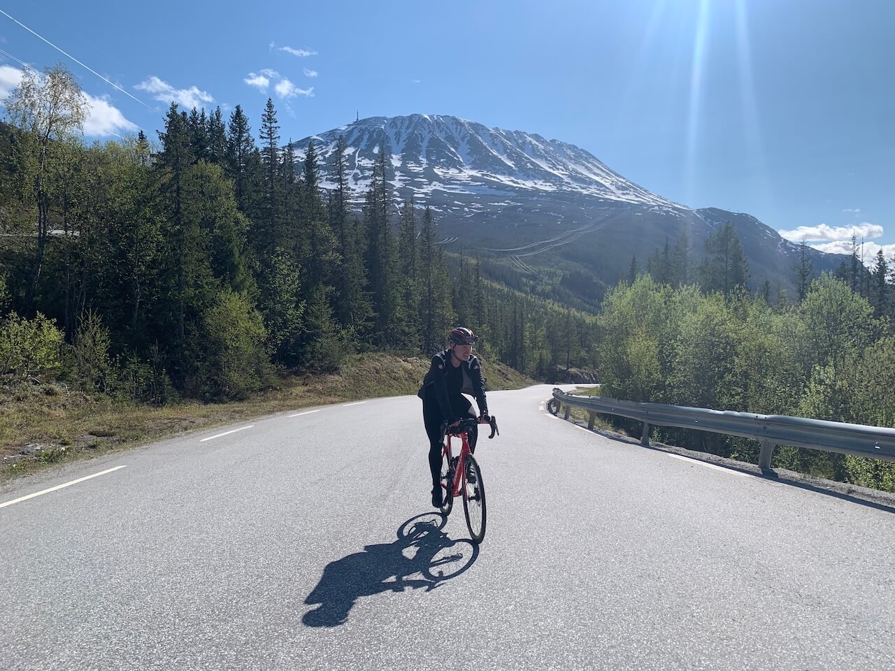
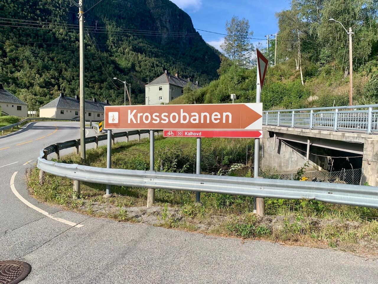
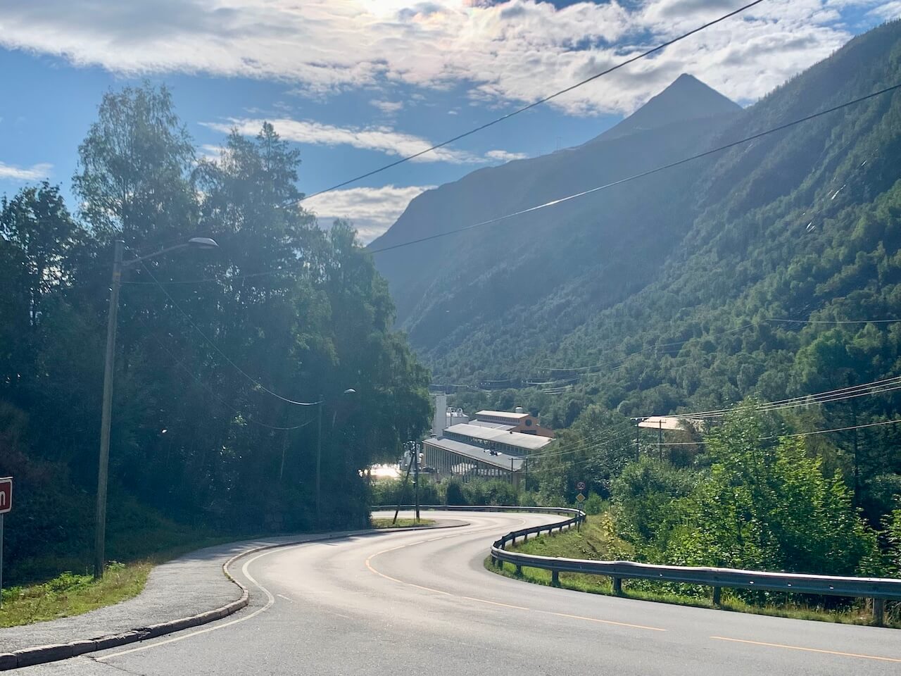
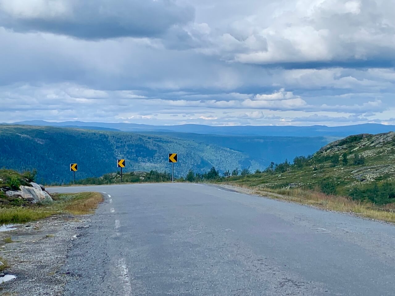
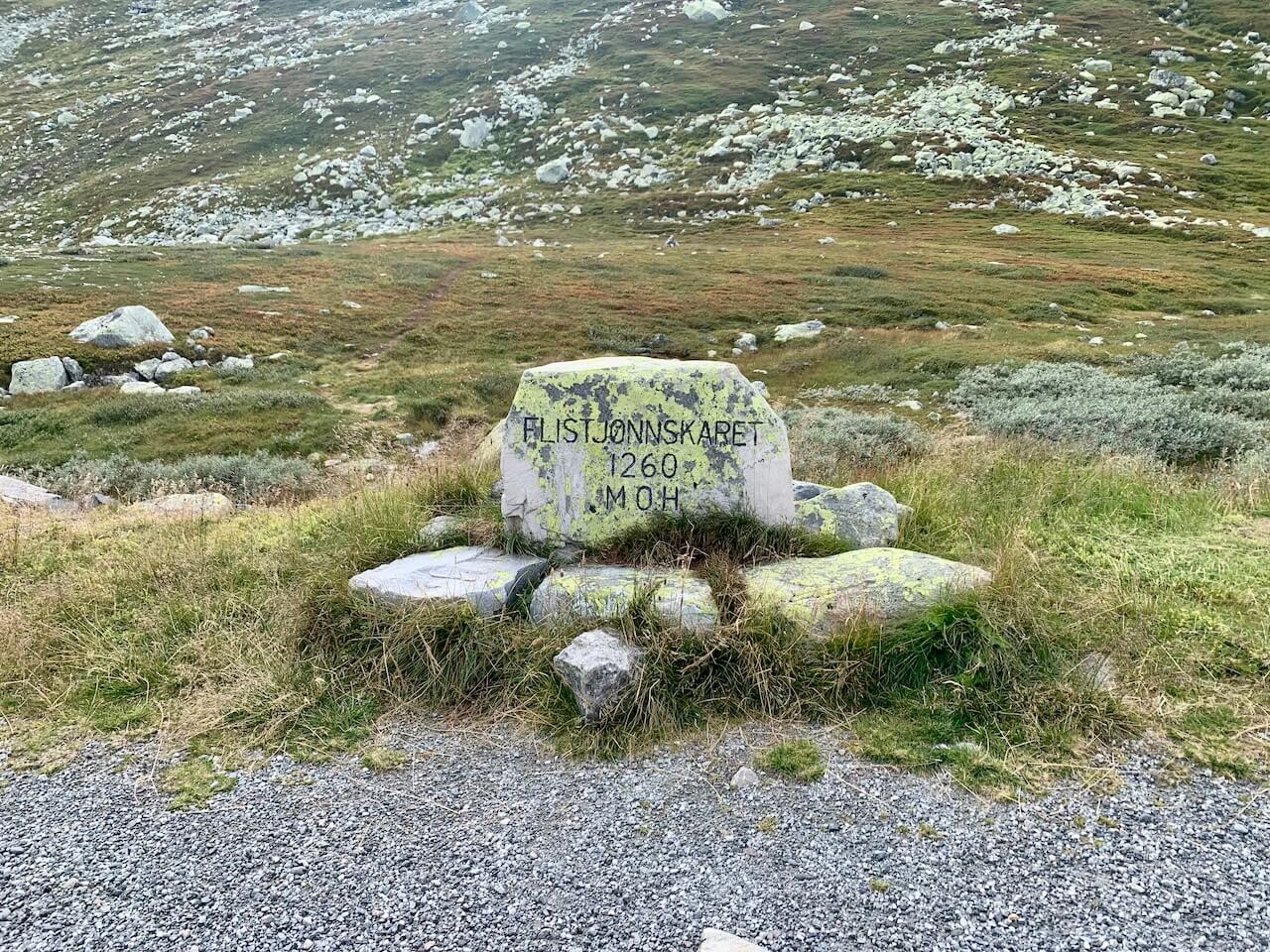
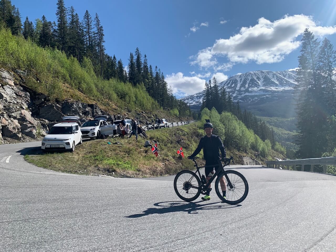
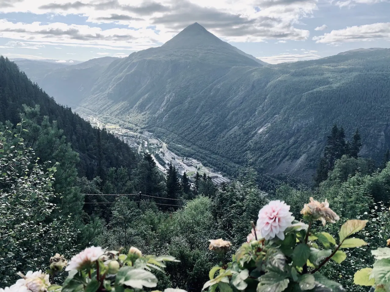
Riding this route is a great way to experience the highlights of northern Telemark. You get to experience a lot of Norway’s lesser-known natural wonders. Heading clockwise you will begin low in a valley, cycling on paved and gravel roads through classic telemark forest scenery. Wild flowing rivers from the surrounding mountains will make you feel you’re going into the wild. And after a few small towns, that is exactly what you will get. Climbing high along the boundaries of Hardangervidda (the largest mountain plateau in Northern Europe). It will be cold and barren up here before a gentle descent into one of Norway’s narrowest and steepest valleys.
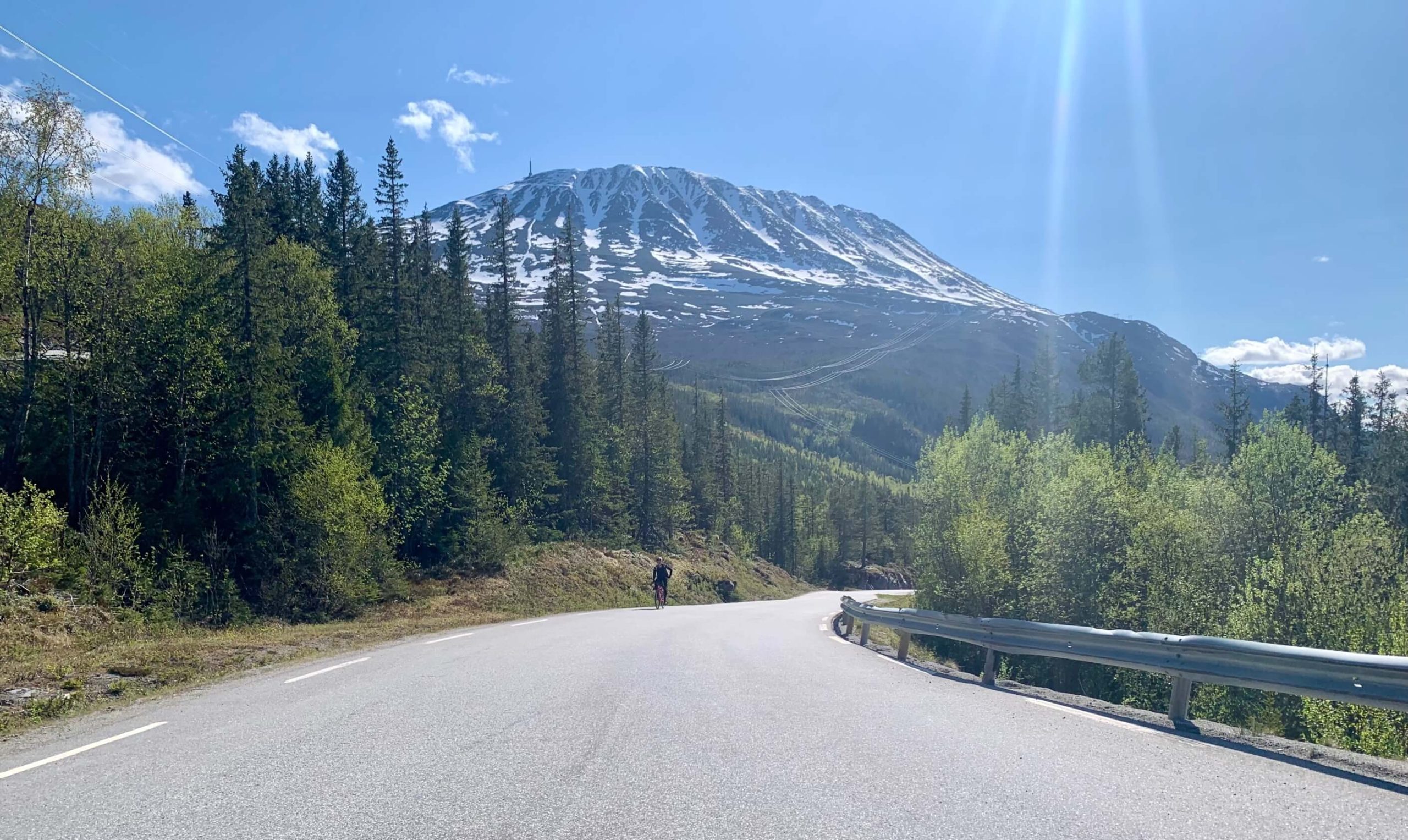
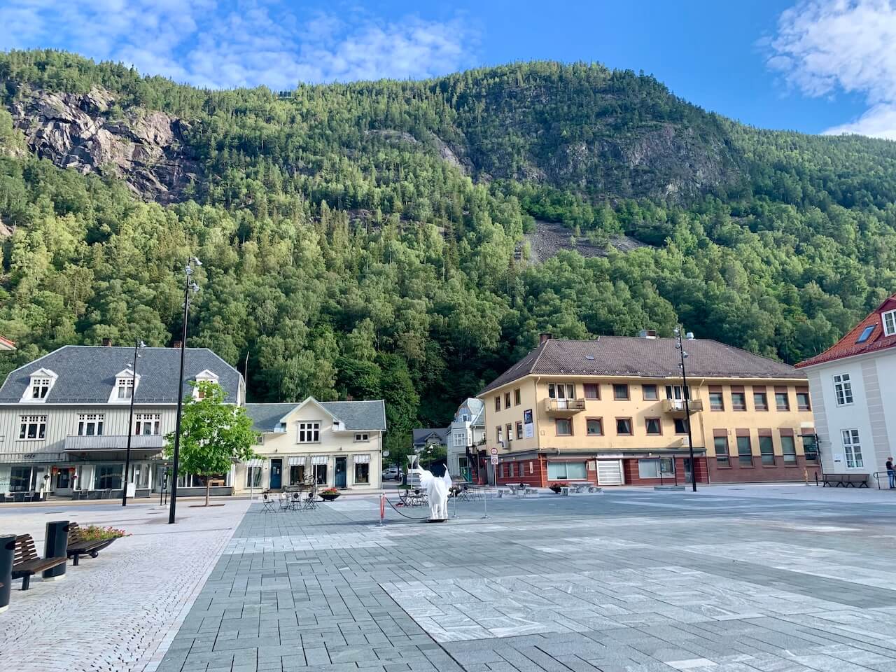
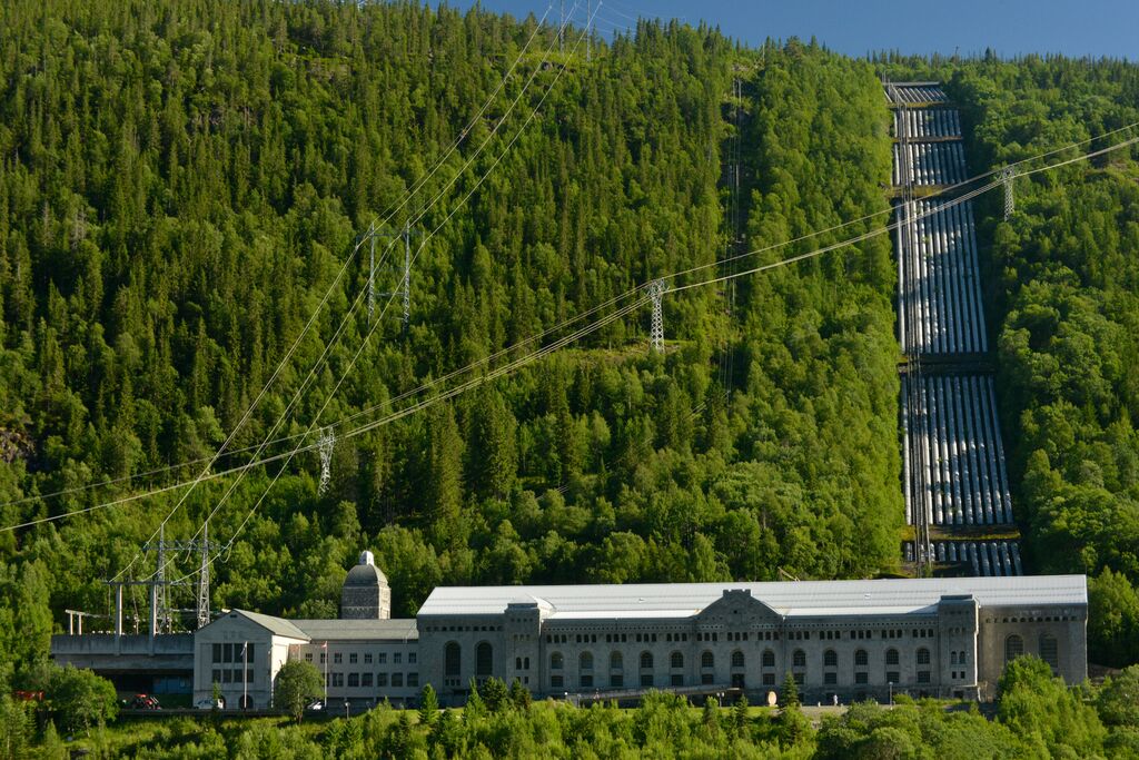
A handful of impressive waterfalls and the backdrop of lush greenery will bring a welcome change on the way into Rjukan – a UNESCO World Heritage site. This old town is famous for its industrial past and one of the greatest Second World War espionage stories ever told. After a short rest stop, the infamous Zombie Hill awaits. This challenging 1000m climb with Norway’s highest regional mountain, Gaustatoppen, as your backdrop is one for the bucket list. The summit is cold and barren, and the descent down long and exhilarating. This is a unique and perfect bike loop for those looking for a challenging and rewarding ride
Routenplan
Schalte die vollständige POI-Routenkarte frei
Treten Sie Cycle Norway bei, um auf die vollständigen Routeninformationen zuzugreifen.
Entsperren Sie den vollständigen Inhalt
Mitglied werden, um vollen Zugriff zu erhalten auf:
- Detaillierte Etappenabschnitte & Umleitungsoptionen
- GPX-Dateien und interaktive POI-Karten
- Transportoptionen & Logistik
- Unterkunftsempfehlungen
- Sicherheitstipps, Highlights & mehr
Noch nicht bereit beizutreten?
Melden Sie sich für unseren Newsletter an und erhalten Sie kostenlose Planungsmaterialien:
-
Packliste

PDF -
Schotterkarte
Vorschau -
Fahrradcode
in Norwegen
-
Handverlesene Routen
Geprüft von lokalen Experten
-
GPX-Dateien & Karten
Zur einfachen Navigation
-

Vertrauenswürdige Informationen
Regelmäßig aktualisiert
-

Nachhaltiges Reisen unterstützen
Umweltfreundlich reisen in Norwegen