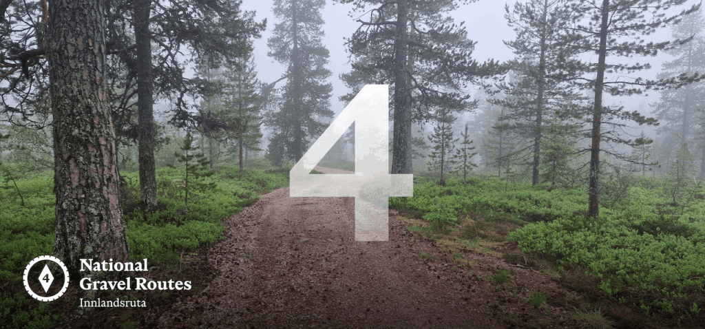
The Inland Trail
Route 4 is one of the most remote journeys in southern Norway, spending long stretches far from major transport corridors and large towns. It is a route defined less by dramatic landmarks and more by absence, of traffic, noise, and modern intrusion.
Leaving Oslo, the route slips quickly into the forests of Østmarka, where a surprisingly wild gravel section offers an early taste of what’s to come. This quiet opening is soon contrasted by the outer urban sprawl towards Lillestrøm, a reminder of how close the wilderness lies to the capital.
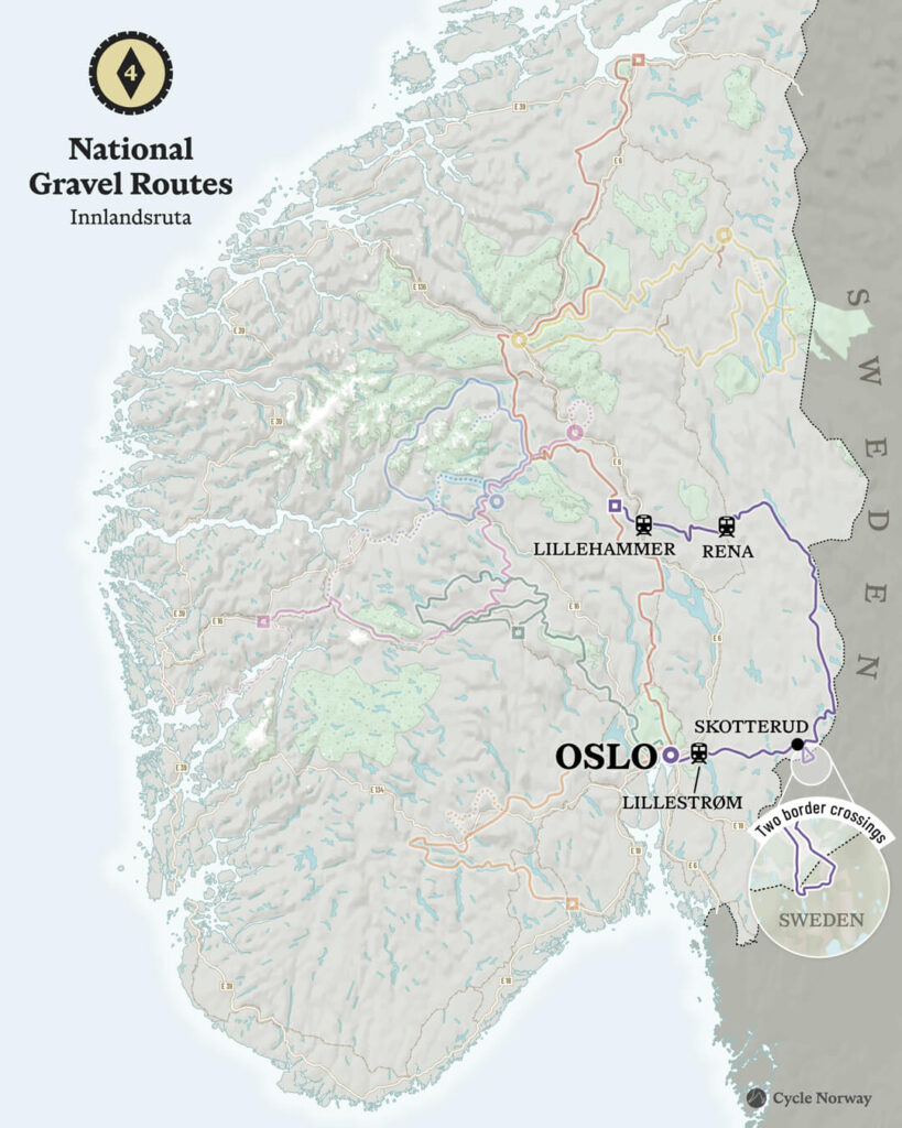
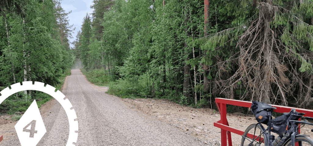
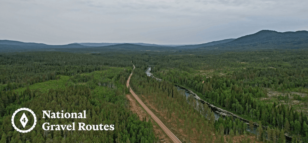
Beyond Lillestrøm, the character changes again. The first 70–80 kilometres are mostly paved, a necessary passage through settled lowlands. But as the route bends towards the Swedish border, the roads thin out, the traffic disappears, and gravel takes over. For the next 375 kilometres, the journey unfolds across remote forest roads and lakeside tracks through Innlandet’s vast interior. This is a slower Norway, one shaped by forestry, seasonal farming, and long distances between communities.
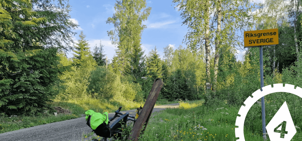
Before turning north along Norway’s outer edge, you can take a short detour into Sweden, re-entering Norway just 5 km later. There’s no real purpose to it — which is exactly the point. You cross an invisible line in the forest, ride through another country for 15 minutes, then quietly slip back again. It’s a small moment, but a memorable one and worth doing!
The landscape may feel forgotten, but it carries a deep and quiet history. During the Second World War, these forests became escape corridors. The borderlands toward Sweden were known for clandestine crossings made under cover of darkness, as members of the Norwegian resistance and civilians fled occupation. Many of these routes remain signposted today, and local place names still carry the memory of those who guided people to safety.
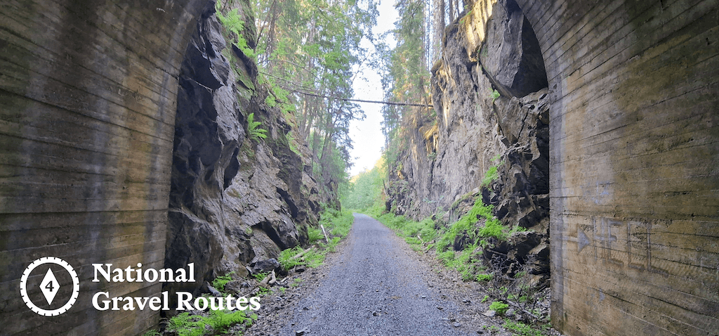
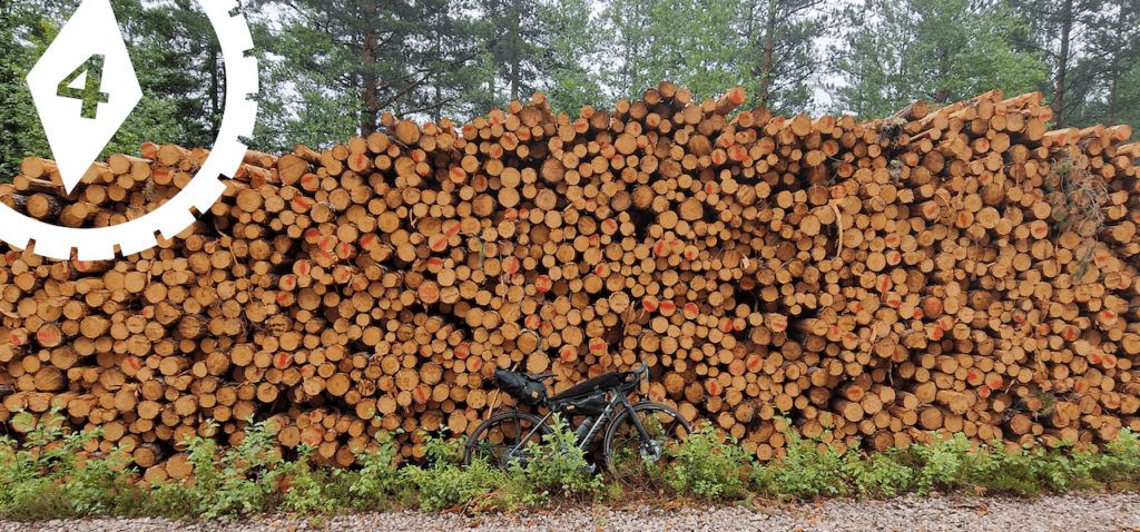
You will also encounter traces of an older industrial past. Lakes and rivers here were once working infrastructure, used to float timber south toward sawmills and coastal towns. Dams, log chutes, and altered shorelines still mark where water was harnessed long before electricity or tourism shaped the region.
For part of the way, the route follows National Cycle Route 9 (Villmarksruta), Norway’s classic wilderness cycling route. Where Villmarksruta turns back onto paved roads, Route 4 breaks away, climbing west across highland farmland and forest tracks on its own quieter line toward Lillehammer. This section is a lot of fun to cycle. But ensure you have the route on your phone or gps computer as there are many gravel roads in this area – easy to take the wrong turn away from Olympic town.
Lillehammer offers a natural pause point. With rail connections back to Oslo, it’s an ideal place to end the journey. For those continuing, Route 4 connects seamlessly onward to Route 1 either north toward Trondheim or south back to Oslo through Gjøvik, completing a long arc through some of Norway’s most quietly resilient landscapes.
This is another route that won’t appeal to most international tourists. The lack of well-known attractions makes it a hard sell. But for locals, and for those willing to go a little deeper, it’s something else entirely. This is a ride for people looking to disappear into a landscape that is unknown and unexplored yet. For those riders, it’s a real gem and a deeply satisfying one to complete. Furthermore, If you complete the loop back to Oslo via National Gravel Route 1 then you’ll have one hell of a story to dish out on Monday morning at work!
The Route 4 GPX file can be found on our RidewithGPS Page – Please follow that page to support Cycle Norway and to be informed when updates are made. Full and overview pages will be posted on our website in the coming weeks. https://ridewithgps.com/collections/8903056